Belá-Dulice
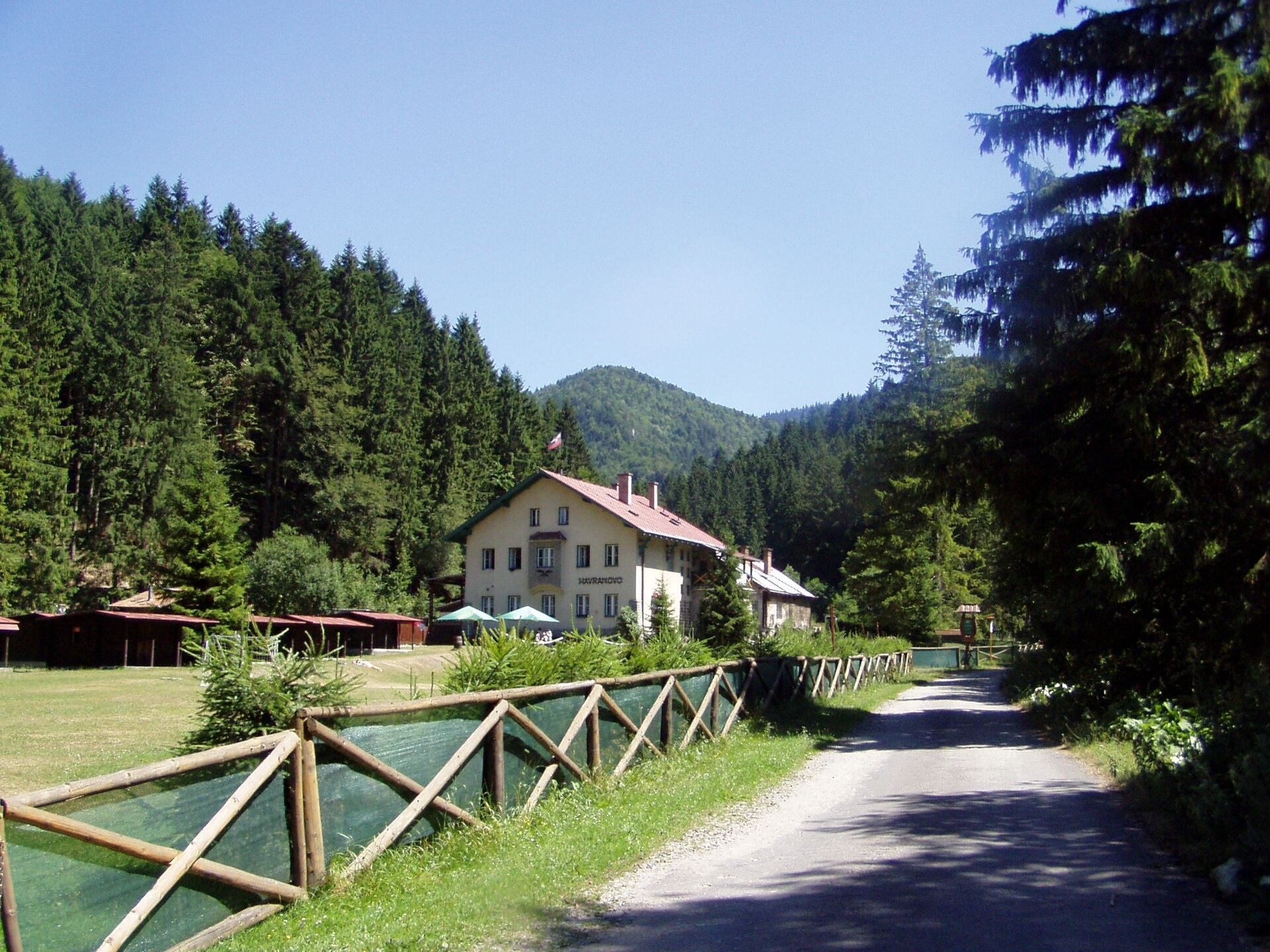
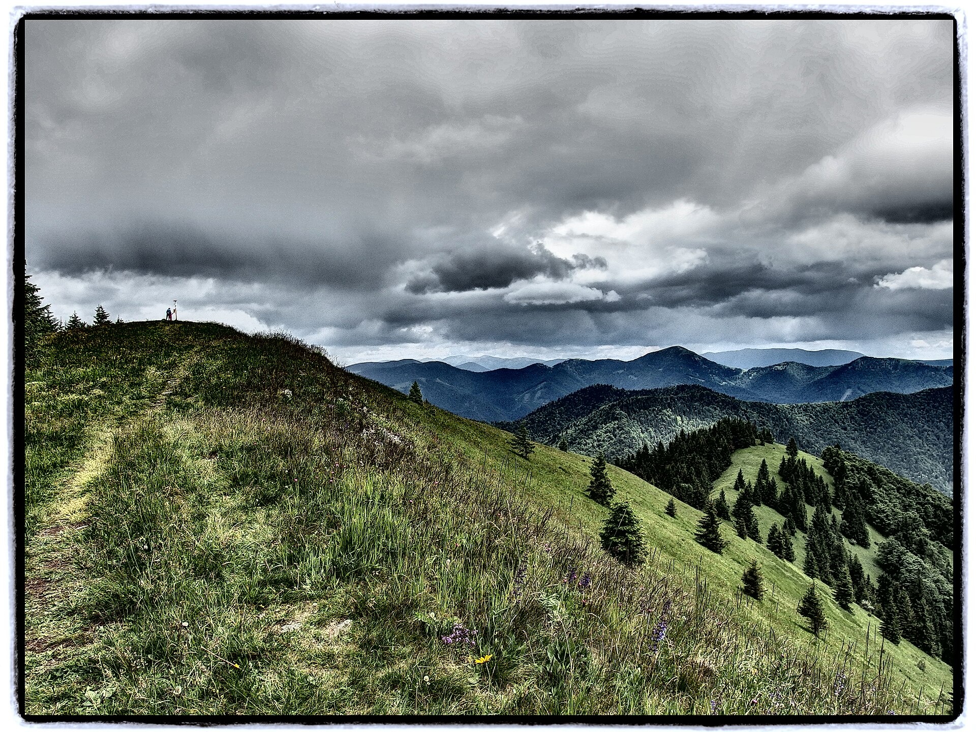
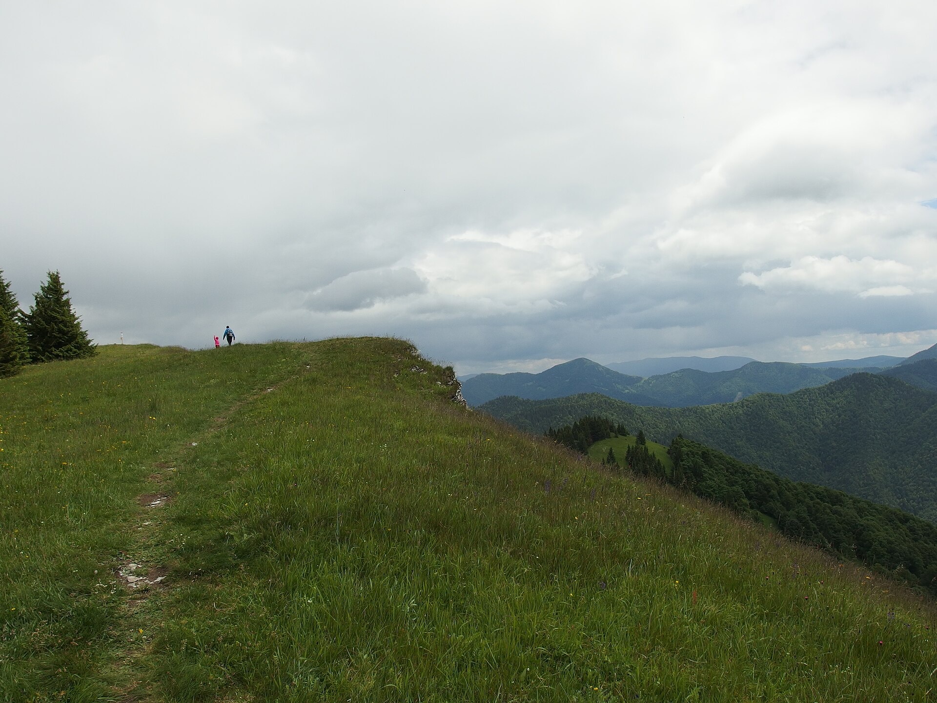
Photos: Pe3kZA, CC BY-SA 3.0 (Wikimedia Commons); Michal Jakubský, CC BY 3.0 (Wikimedia Commons); Michal Jakubský, CC BY 3.0 (Wikimedia Commons)
Belá-Dulice is a village in Slovakia.
Elevation: about 512 m above sea level. Population: 1,246 (2025). Mountains nearby: Greater Fatra.
Here and nearby on the site: 3 trails, 1 mountain hut or shelter.
Facts: Wikidata, OpenStreetMap. More on Wikipedia
Trails nearby
All trails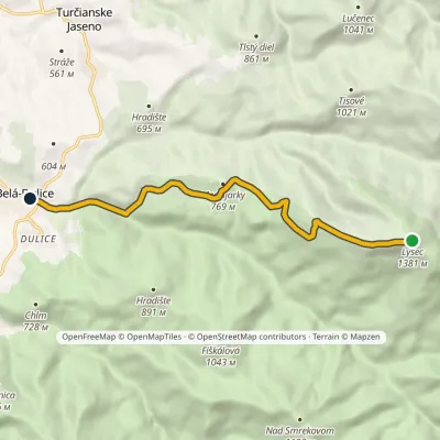 EasyOne-dayMarkedBelá LysecElevation profile494–1 381 m8.1 kmascent 31 m≈ 2 h walkingunder 1 km from the centre
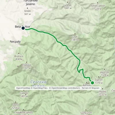 ModerateOne-dayMarkedChata pod Borišovom, junction BeláElevation profile494–1 278 m14.1 kmascent 15 m≈ 3.5 h walkingunder 1 km from the centre
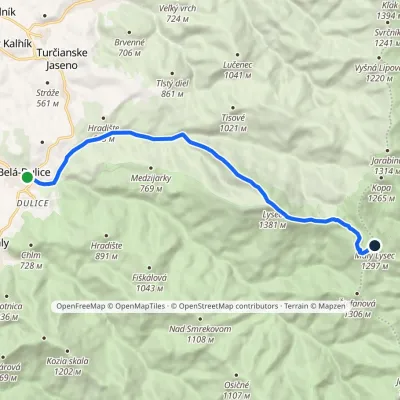 ModerateOne-dayMarkedBelá Malý LysecElevation profile495–1 381 m11.7 kmascent 1 080 m≈ 5 h walkingunder 1 km from the centre
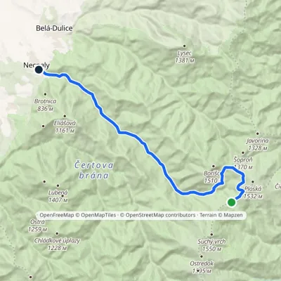 ModerateOne-dayMarkedNecpaly ChyžkyElevation profile500–1 341 m17.1 kmascent 72 m≈ 4.5 h walking2 km from the centre
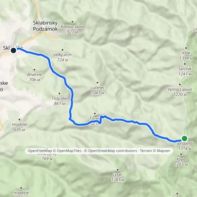 EasyOne-dayMarkedSklabiňa JarabináElevation profile485–1 314 m11.3 kmascent 135 m≈ 3 h walking4.7 km from the centre
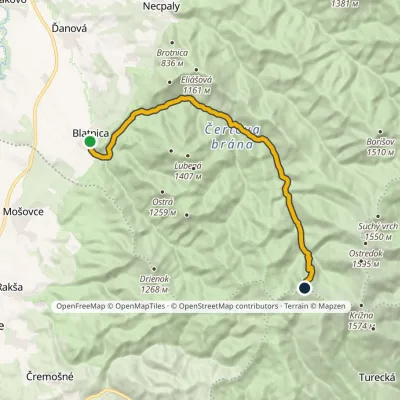 ModerateTwo-dayMarkedBlatnica, Municipal Office Kráľova studňa, spring (yellow trail)Elevation profile496–1 379 m17.3 kmascent 911 m≈ 6 h walking5.4 km from the centre
Peaks nearby
All peaks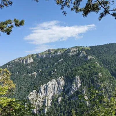 PeakTlstáBlatnicaaltitude 1 373 m7.6 km from the centreTlstá (Slovak for “fat”) is a prominent summit 1373 m high on the western edge of the central Greater Fatra (Veľká Fatra), Slovakia, in the Bralná Fatra part.
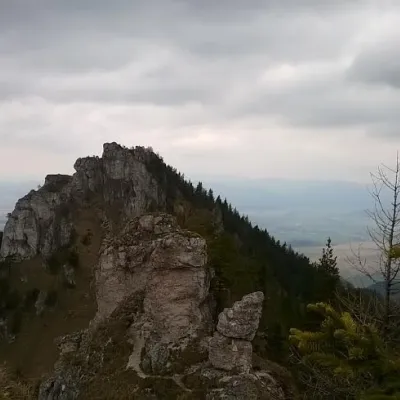 PeakOstráBlatnicaaltitude 1 259 m9.4 km from the centreOstrá (Slovak for sharp) is one of the most striking and best-loved peaks of Slovakia’s Greater Fatra.
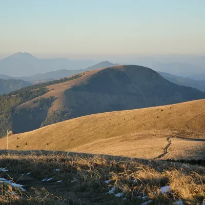 PeakBorišovLiptovské Revúcealtitude 1 510 m11 km from the centreBorišov is a 1,510 m summit in the central part of the Greater Fatra (Veľká Fatra) in Slovakia, in its highest section, the Hôľna Fatra.
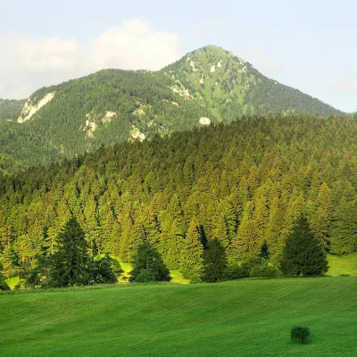 PeakDrienokBlatnicaaltitude 1 268 m13 km from the centreDrienok (formerly Drieňok) is a 1268 m limestone and dolomite summit in the south-western part of the Slovak Veľká Fatra.
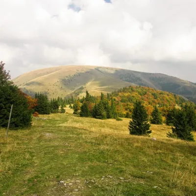 PeakPloskáLiptovské Revúcealtitude 1 532 m13 km from the centre1 trail to the topPloská is a 1,532 m summit on the main ridge of the Greater Fatra (Veľká Fatra) in Slovakia and one of the highest peaks of the range.
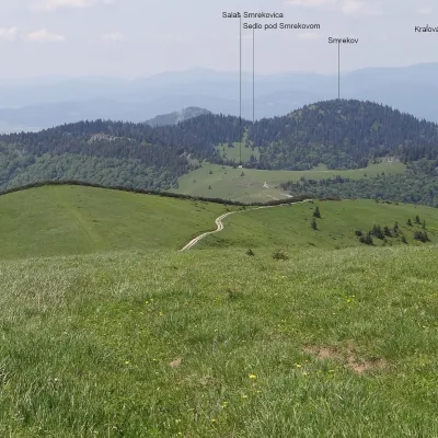 PeakSmrekovTureckáaltitude 1 441 m13 km from the centreSmrekov is a 1441 m summit in the southern part of the Greater Fatra (Veľká Fatra) in Slovakia. It belongs to the Bralná Fatra, the part of the range where many...
What to visit
All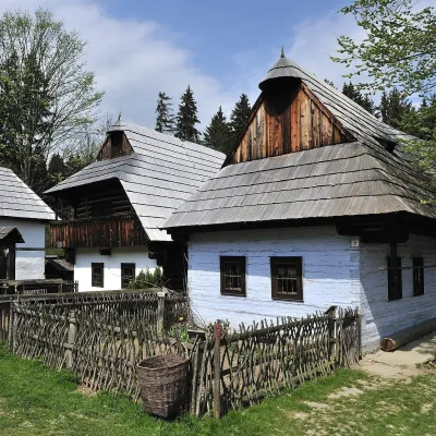 MuseumMuseum of the Slovak Village, MartinMartin5.4 km from the centreThe Museum of the Slovak Village (Múzeum slovenskej dediny) is the largest ethnographic open-air exhibition in Slovakia.
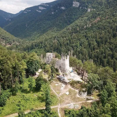 CastleBlatnica Castle and the Gader ValleyBlatnica6.6 km from the centreBlatnica Castle (Blatnický hrad) is a medieval ruin on the low but sharp limestone ridge of Plešovica (658 m), which separates the Gader valley (Gaderská dolina) from...
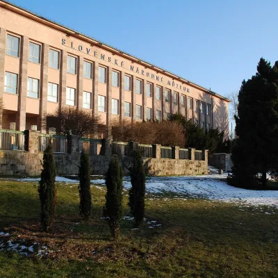 MuseumEthnographic Museum of the Slovak National Museum, MartinMartin7.7 km from the centreThe Ethnographic Museum of the Slovak National Museum in Martin (SNM – Etnografické múzeum) is the main building of SNM – Museums in Martin and holds the most complete...
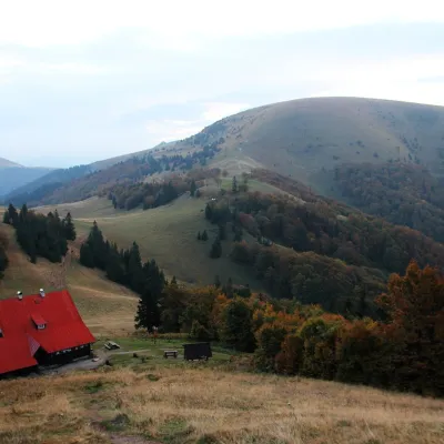 Mountain meadowPloská and Borišov: meadows and mountain hut in the heart of Veľká FatraLiptovské Revúcealtitude 1 300 m11 km from the centrePloská (1,532 m) and Borišov (1,510 m) are two treeless summits in the very centre of Veľká Fatra, with the old Chata pod Borišovom mountain hut (about 1,300 m)...
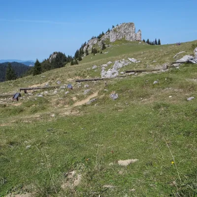 Mountain meadowKráľova studňa: meadow plateau and springs in Veľká FatraDolný Harmanecaltitude 1 365 m14 km from the centreKráľova studňa (literally the «King's Well») is a broad grassy plateau on the main ridge of Veľká Fatra, at the western edge of the Krížna massif.
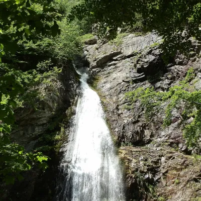 WaterfallŠútovo WaterfallŠútovo22 km from the centreThe Šútovo Waterfall (Šútovský vodopád) is the highest waterfall in the Malá Fatra mountains and one of the highest in Slovakia: the water drops 38 m.
Craft nearby
All craft places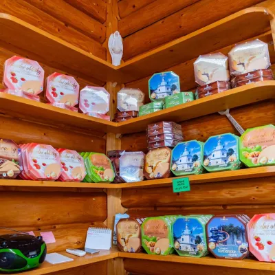 Cheese dairies & pasturesTuriec bryndza dairy, Turčianske Teplice: bryndza since 1917Turčianske Teplice18 km from the centreMore than a hundred years of Turiec bryndza Turiec is a wide basin between the ridges of the Veľká and Malá Fatra, a land of pastures and old sheep farming.
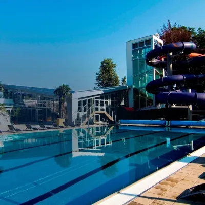 Water parks & thermal poolsSpa & Aquapark Turčianske TepliceTurčianske Teplice18 km from the centreTurčianske Teplice is one of Slovakia’s oldest spa towns. Its warm springs were first mentioned in 1281 in a deed of gift by King Ladislaus IV, and from 1533 they...
 Cheese dairies & pasturesSalaš Krajinka near RužomberokRužomberok22 km from the centreSalaš Krajinka is a genuine sheep farm on the edge of Ružomberok in lower Liptov. It was founded in 1983 to keep a thousand sheep, and the owners have deliberately...
 Craft beer & breweriesURSUS craft brewery, Čutkovská valleyRužomberok22 km from the centreURSUS craft brewery (Remeselný pivovar URSUS) is the first brewery of the town of Ružomberok, tucked away in the picturesque Čutkovská valley in lower Liptov.
 Water parks & thermal poolsSpa Aphrodite thermal pools, Rajecké TepliceRajecké Teplice26 km from the centreHot mineral water rises here, and it feeds the Spa Aphrodite resort, whose thermal pools, saunas and Natural Spa zone are open not only to patients but to anyone with...
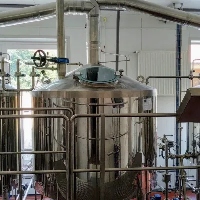 Craft beer & breweriesGalgenberg brewery in Nitrianske Pravno: tour and beer from the tankNitrianske Pravno29 km from the centreNitrianske Pravno is a large village at the northern end of the Upper Nitra basin, 12 km from Prievidza, where the river Nitra leaves the Malá Magura and Žiar hills.
Spas and thermal pools nearby
Water parks & thermal poolsSpa & Aquapark Turčianske TepliceTurčianske Teplice18 km from the centreTurčianske Teplice is one of Slovakia’s oldest spa towns. Its warm springs were first mentioned in 1281 in a deed of gift by King Ladislaus IV, and from 1533 they...Water parks & thermal poolsSpa Aphrodite thermal pools, Rajecké TepliceRajecké Teplice26 km from the centreHot mineral water rises here, and it feeds the Spa Aphrodite resort, whose thermal pools, saunas and Natural Spa zone are open not only to patients but to anyone with...Huts, shelters and springs nearby
Getting there from Ukraine
Border crossings
- Uzhhorod – Vyšné Nemecké — road, 24/7
- Malyi Bereznyi – Ubľa — road, 24/7 For cars and buses; pedestrians not confirmed by the Ukrainian border service, lorries up to 3.5 t.
- Mali Selmentsi – Veľké Slemence (pedestrian) — pedestrian, 09:00–21:00 Kyiv time Pedestrians and cyclists only; inconvenient for the Tatras without onward transport.
- Chop – Čierna nad Tisou (rail) — rail, 24/7
By car
From Uzhhorod ≈275 km, ≈3 h 35 min without queues: Uzhhorod – Vyšné Nemecké → I/19 to Košice → D1 motorway via Prešov, Poprad and Liptovský Mikuláš to Ružomberok (≈270 km, ≈3 h 25 min from the border). From Lviv it is faster through Poland: M-10 → Krakovets – Korczowa → A4 to Kraków → S7/DK7 to the Chyżne – Trstená border → R3 and I/59 via Dolný Kubín to Ružomberok: ≈482 km, ≈6 h 15 min (via Uzhok and Ubľa ≈500 km, ≈7 h 30 min). The D1 requires an e-vignette (eznamka.sk).
Checked 23.10.2026; border crossing hours and timetables change — check before you travel.
