Tlstá
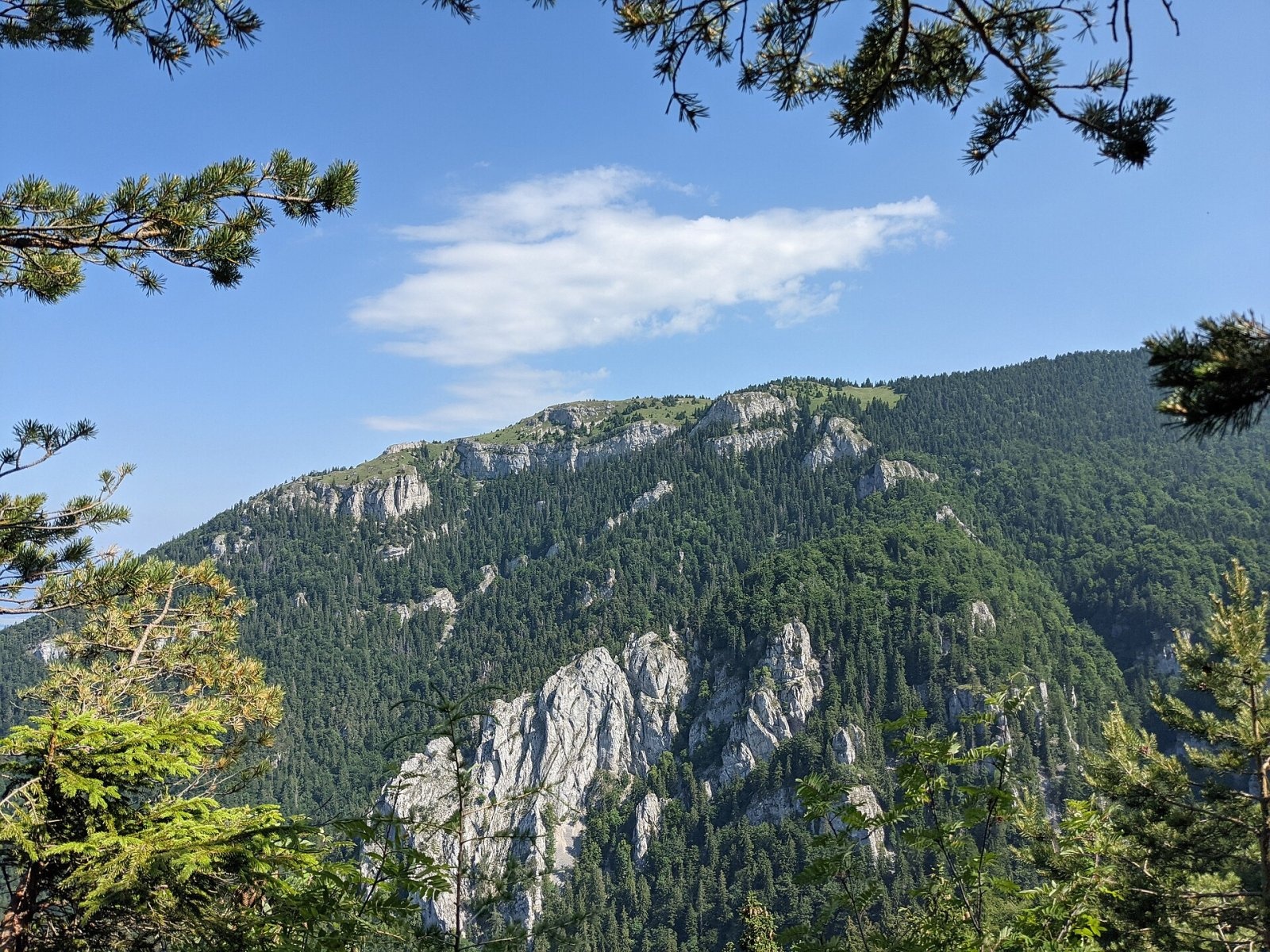
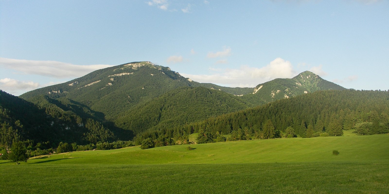
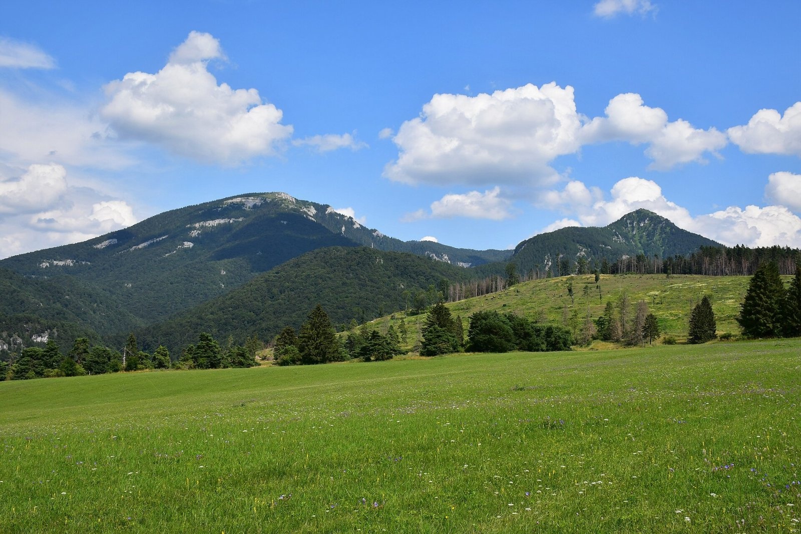
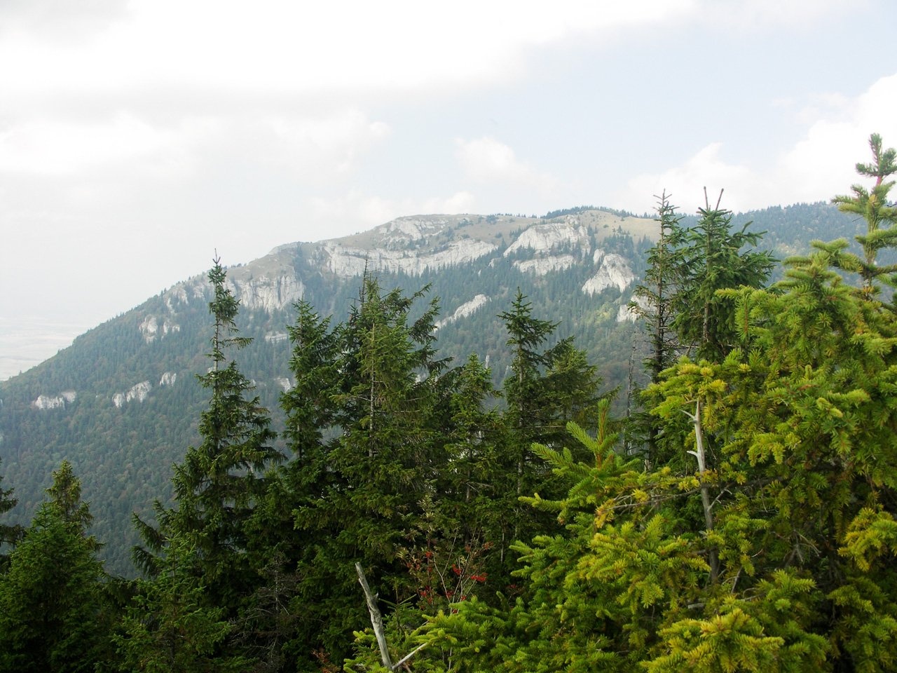
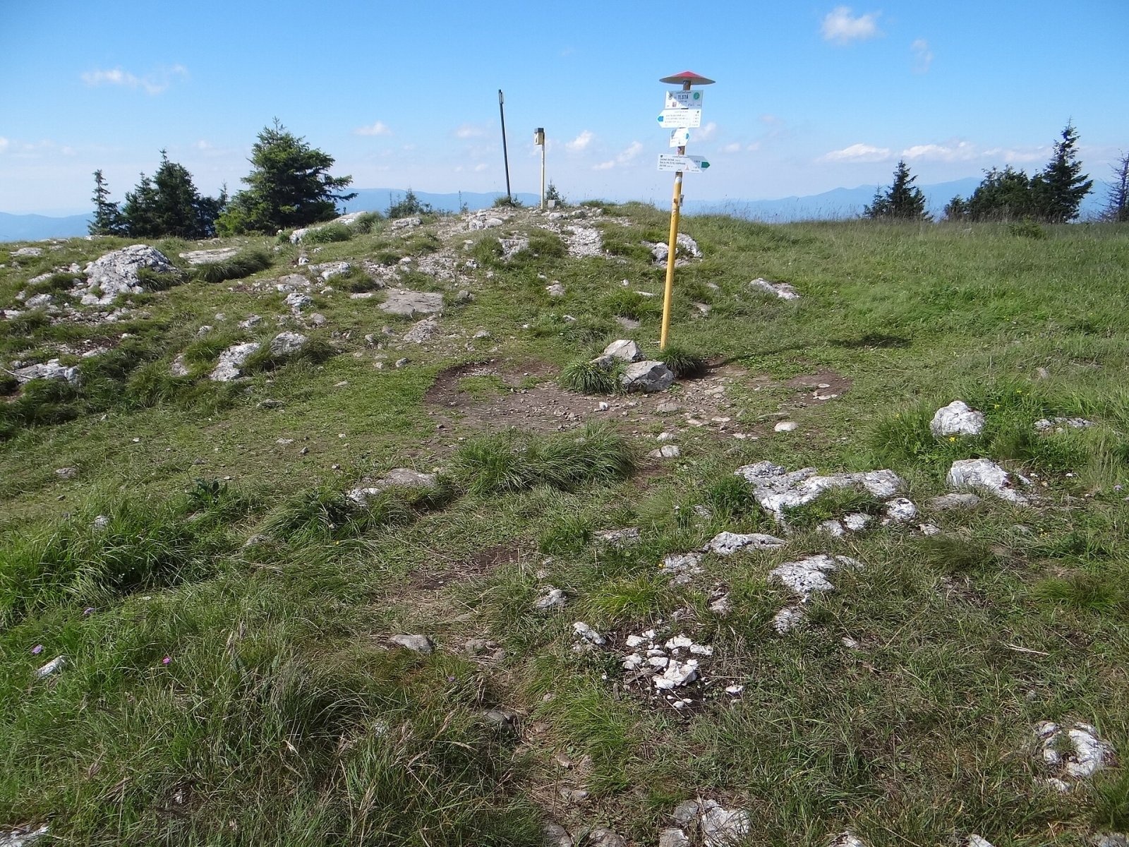
Tlstá (Slovak for “fat”) is a prominent summit 1373 m high on the western edge of the central Greater Fatra (Veľká Fatra), Slovakia, in the Bralná Fatra part. It rises above the village of Blatnica, about 15 km south of Martin, climbing steeply almost 1000 m above the floor of the Turiec basin. Together with neighbouring Ostrá (1263 m), Tlstá forms the well-known landmark of upper Turiec, visible from most of the basin. The Gader valley wraps around the massif on the north and west. The mountain lies in the Veľká Fatra National Park, and the whole massif forms the Tlstá national nature reserve with the highest, fifth degree of protection.
Getting there / routes
Both climbs from the Gader valley are steep and fairly tiring. Together they make up the blue Janko Bojmír Trail loop, one of the most attractive walks in the Greater Fatra.
- Blue: from the lower junction in the Gader valley via Konský dol and Muráň — 5.2 km, 863 m of ascent, about 3 h 20 min (back 2 h 25 min).
- Blue: from the upper junction via Vápenná dolina past the Mažarná cave — 4 km, 846 m of ascent, about 2 h 55 min (back 2 h).
- Green: from Blatnica via Ostrá, Zadná Ostrá and Lubená; Tlstá to Ostrá is 3.4 km, about 1 h.
What you can see from the summit
The tree line runs below the summit, so the top is meadow with scattered crags, a former shepherds’ pasture. Thanks to its position on the edge of the range the view is excellent; only to the east does neighbouring Lubená (1414 m) block part of the horizon. You see the Greater Fatra and Kremnica peaks, the whole Turiec basin, the Lesser Fatra and Žiar, and in good conditions Vtáčnik, the Strážov Mountains, occasionally even the Low and High Tatras.
Nature and history
The massif is built of thick, nearly horizontal layers of Triassic limestone and dolomite. The slopes, especially higher up, therefore form a series of terraces and rock ledges separated by steep steps, while numerous rock towers have weathered out of the harder limestone. The mountain owes its name to its broad, spreading outline with a flat top — a remnant of an ancient planation surface — in contrast to rocky Ostrá to the south.
The slopes of Tlstá hold many caves: besides the well-known and much-visited Mažarná, where traces of ancient human settlement were found, there are Biela, Havranova, Stĺpová, Textorisová and others, plus the 14 m deep Nezábudka abyss. The reserve, declared in 1981 on 30.66 km², protects well-preserved forests, rare plants and rock vegetation.
Safety, season and rules
The trails in the reserve are steep, with stony sections that are slippery when wet; on the terraces below the summit stay on the route. In the national park and reserve walk only on marked trails, do not enter caves except where permitted, and check current park notices. Slovak Mountain Rescue Service (HZS): 18 300 (+421 18 300), general emergency number 112.
Photos: Patrik Kunec, CC BY-SA 4.0; Caroig, CC BY-SA 3.0; Patrik Kunec, CC BY-SA 4.0; Caroig, CC BY-SA 2.5; Jerzy Opioła, CC BY-SA 4.0; Jerzy Opioła, CC BY-SA 4.0; Pe3kZA, CC BY-SA 3.0 — Wikimedia Commons.
Getting there from Ukraine
Border crossings
- Uzhhorod – Vyšné Nemecké — road, 24/7
- Malyi Bereznyi – Ubľa — road, 24/7 For cars and buses; pedestrians not confirmed by the Ukrainian border service, lorries up to 3.5 t.
- Mali Selmentsi – Veľké Slemence (pedestrian) — pedestrian, 09:00–21:00 Kyiv time Pedestrians and cyclists only; inconvenient for the Tatras without onward transport.
- Chop – Čierna nad Tisou (rail) — rail, 24/7
By car
From Uzhhorod ≈275 km, ≈3 h 35 min without queues: Uzhhorod – Vyšné Nemecké → I/19 to Košice → D1 motorway via Prešov, Poprad and Liptovský Mikuláš to Ružomberok (≈270 km, ≈3 h 25 min from the border). From Lviv it is faster through Poland: M-10 → Krakovets – Korczowa → A4 to Kraków → S7/DK7 to the Chyżne – Trstená border → R3 and I/59 via Dolný Kubín to Ružomberok: ≈482 km, ≈6 h 15 min (via Uzhok and Ubľa ≈500 km, ≈7 h 30 min). The D1 requires an e-vignette (eznamka.sk).
Checked 23.10.2026; border crossing hours and timetables change — check before you travel.
Location on the map
Water and shelter nearby
- Spring below Lubená1.3 km · Not verified · 1 185 m
- Spring below Dedošová2.7 km · Not verified · 660 m
- Spring below Ostrá (south-west slope)2.8 km · Not verified · 613 m
- Salaš Hut, 657 m2.9 km · Not verified · 657 m
Comments
Trails nearby
All trails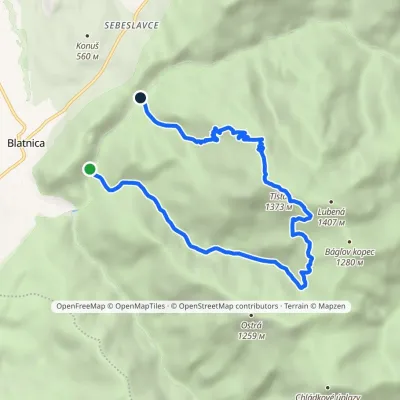 ModerateOne-dayMarkedTrail of Janko BojmírElevation profile530–1 373 m9.4 kmascent 842 m≈ 4 h walkingunder 1 km from Tlstá
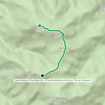 EasyOne-dayMarkedTlstá Zadná OstráElevation profile1 196–1 401 m3.1 kmascent 71 m≈ 60 min walkingunder 1 km from Tlstá
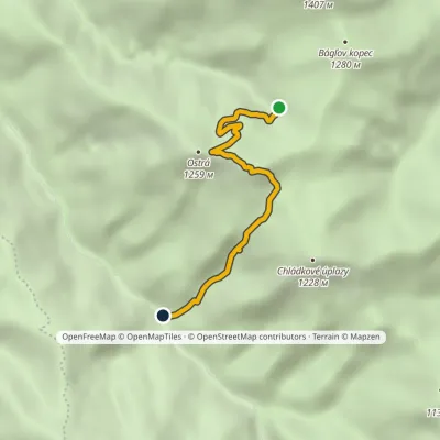 EasyOne-dayMarkedÚstie Juriašová Valley MuráňElevation profile664–1 249 m3.8 kmascent 190 m≈ 1.5 h walking1.3 km from Tlstá
Nearby attractions
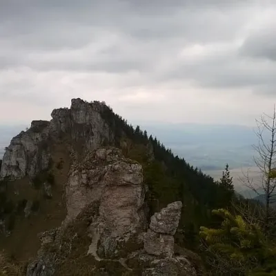 PeakOstráBlatnicaaltitude 1 259 m1.7 km from TlstáOstrá (Slovak for sharp) is one of the most striking and best-loved peaks of Slovakia’s Greater Fatra.
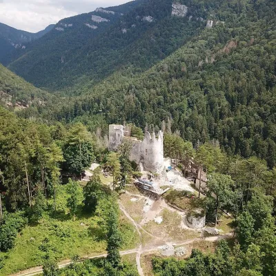 CastleBlatnica Castle and the Gader ValleyBlatnica2.3 km from TlstáBlatnica Castle (Blatnický hrad) is a medieval ruin on the low but sharp limestone ridge of Plešovica (658 m), which separates the Gader valley (Gaderská dolina) from...
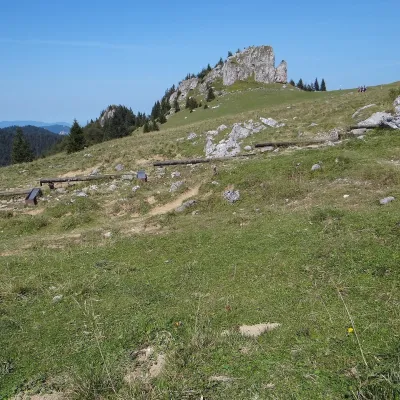 Mountain meadowKráľova studňa: meadow plateau and springs in Veľká FatraDolný Harmanecaltitude 1 365 m7.9 km from TlstáKráľova studňa (literally the «King's Well») is a broad grassy plateau on the main ridge of Veľká Fatra, at the western edge of the Krížna massif.
Craft nearby
All craft places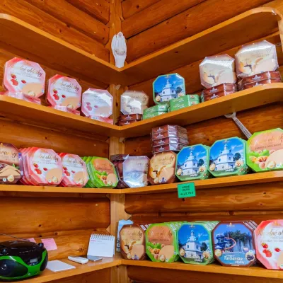 Cheese dairies & pasturesTuriec bryndza dairy, Turčianske Teplice: bryndza since 1917Turčianske Teplice11 km from TlstáMore than a hundred years of Turiec bryndza Turiec is a wide basin between the ridges of the Veľká and Malá Fatra, a land of pastures and old sheep farming.
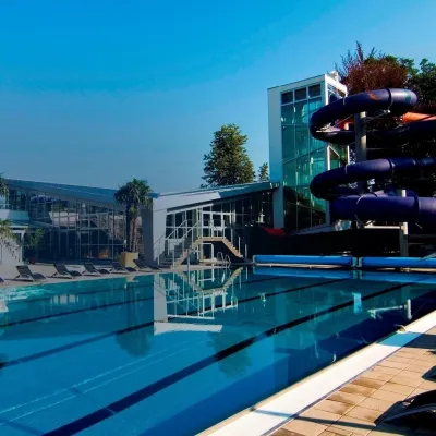 Water parks & thermal poolsSpa & Aquapark Turčianske TepliceTurčianske Teplice12 km from TlstáTurčianske Teplice is one of Slovakia’s oldest spa towns. Its warm springs were first mentioned in 1281 in a deed of gift by King Ladislaus IV, and from 1533 they...
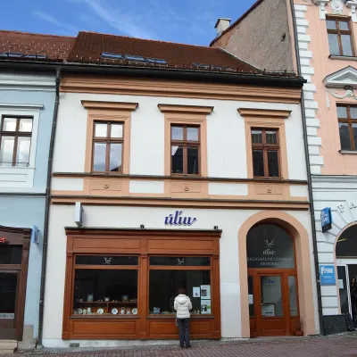 Craft shopsÚĽUV Banská Bystrica: folk-craft shop and craft schoolBanská Bystrica26 km from TlstáÚĽUV (Ústredie ľudovej umeleckej výroby, the Centre for Folk Art Production) is a state institution that has looked after Slovak folk crafts since 1945: it keeps a...
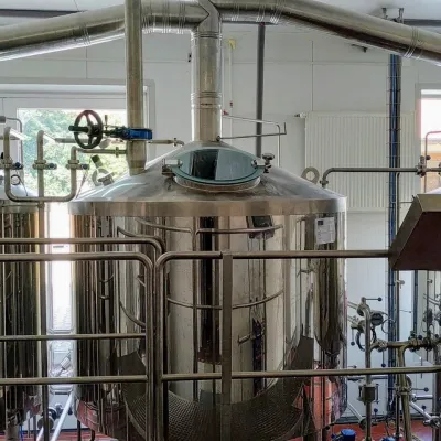 Craft beer & breweriesGalgenberg brewery in Nitrianske Pravno: tour and beer from the tankNitrianske Pravno26 km from TlstáNitrianske Pravno is a large village at the northern end of the Upper Nitra basin, 12 km from Prievidza, where the river Nitra leaves the Malá Magura and Žiar hills.
 Craft producersKremnica gingerbread: the Haurík family bakery since 1922Kremnica26 km from TlstáKremnica is an old mining town in the Kremnica Mountains where coins have been struck for more than six centuries.
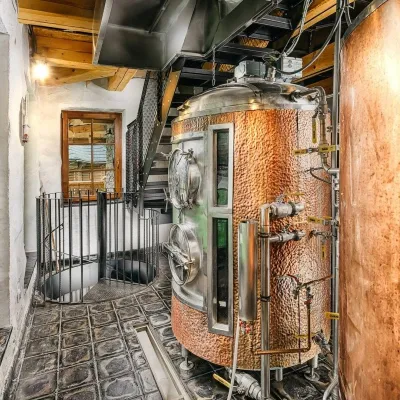 Craft beer & breweriesURSUS craft brewery, Čutkovská valleyRužomberok26 km from TlstáURSUS craft brewery (Remeselný pivovar URSUS) is the first brewery of the town of Ružomberok, tucked away in the picturesque Čutkovská valley in lower Liptov.
