Brezno District
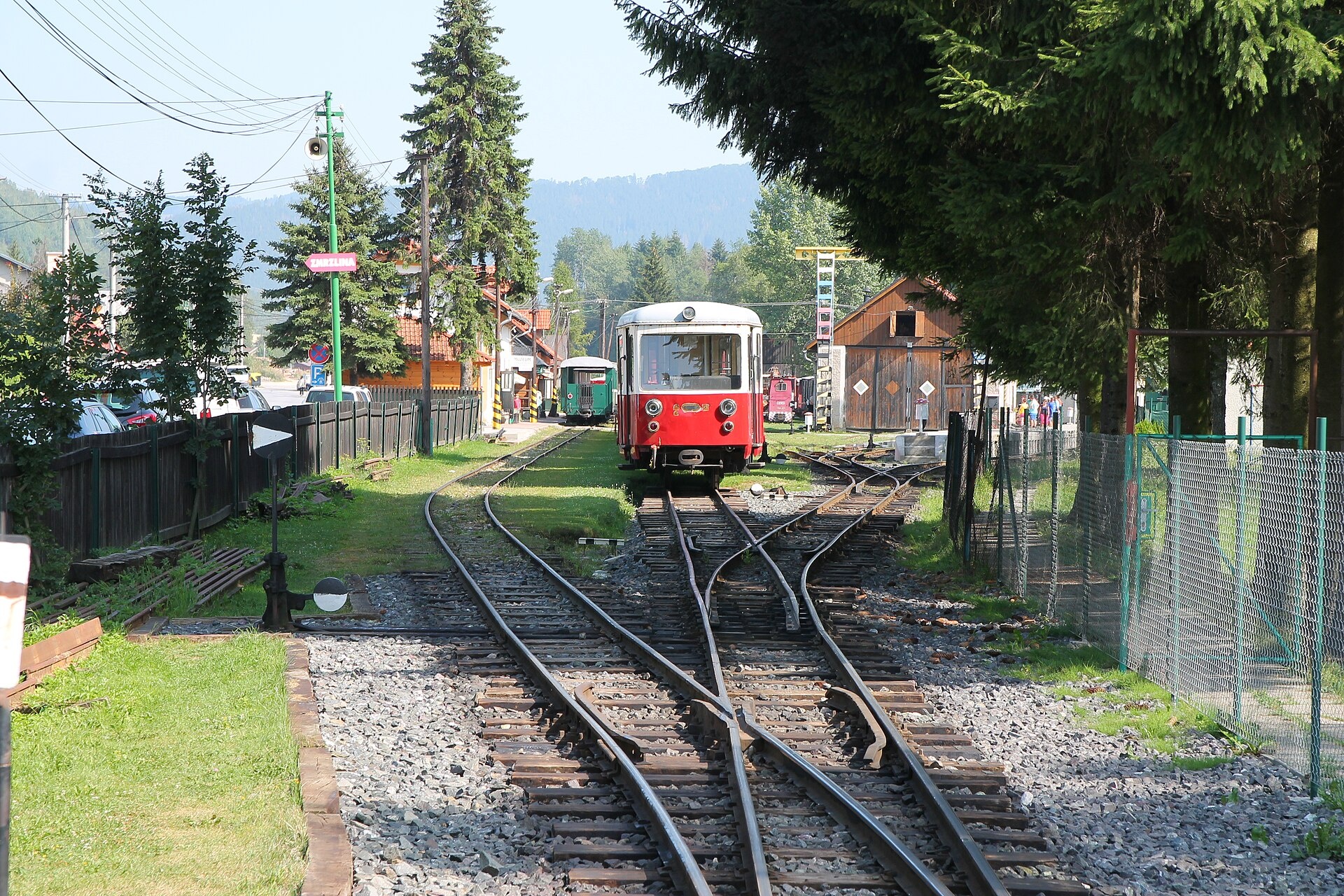
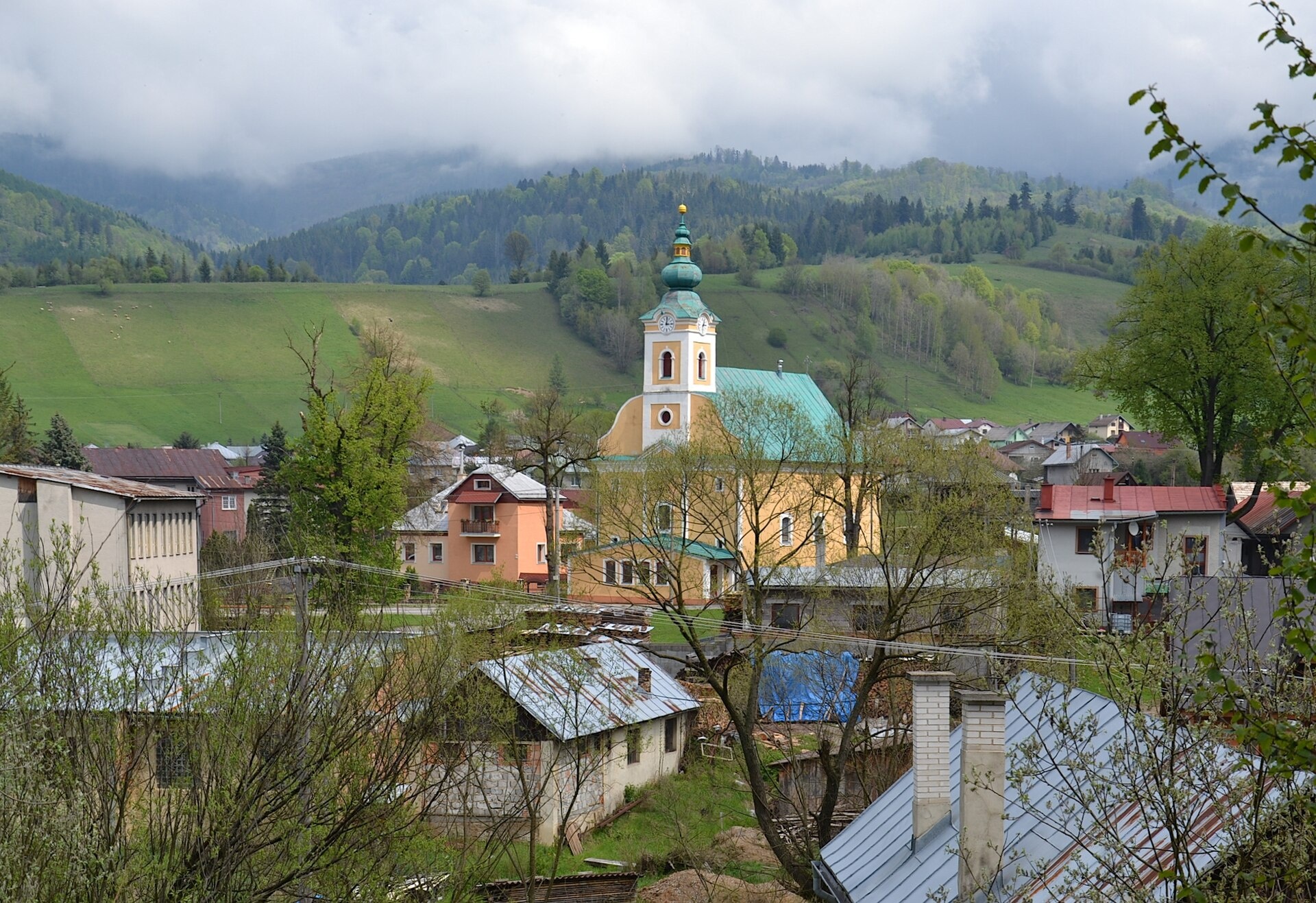
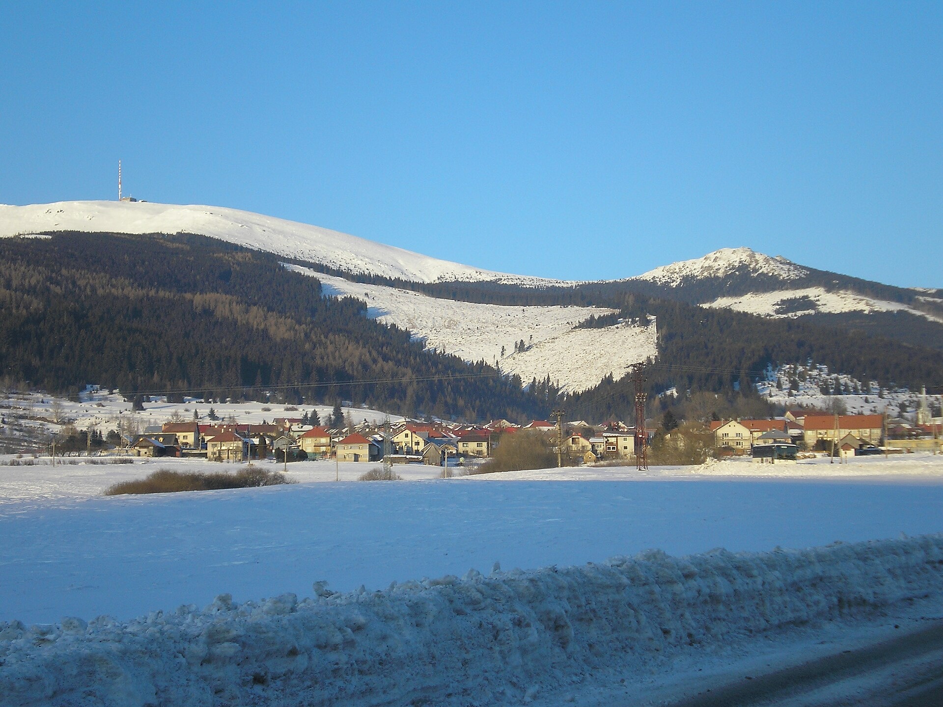
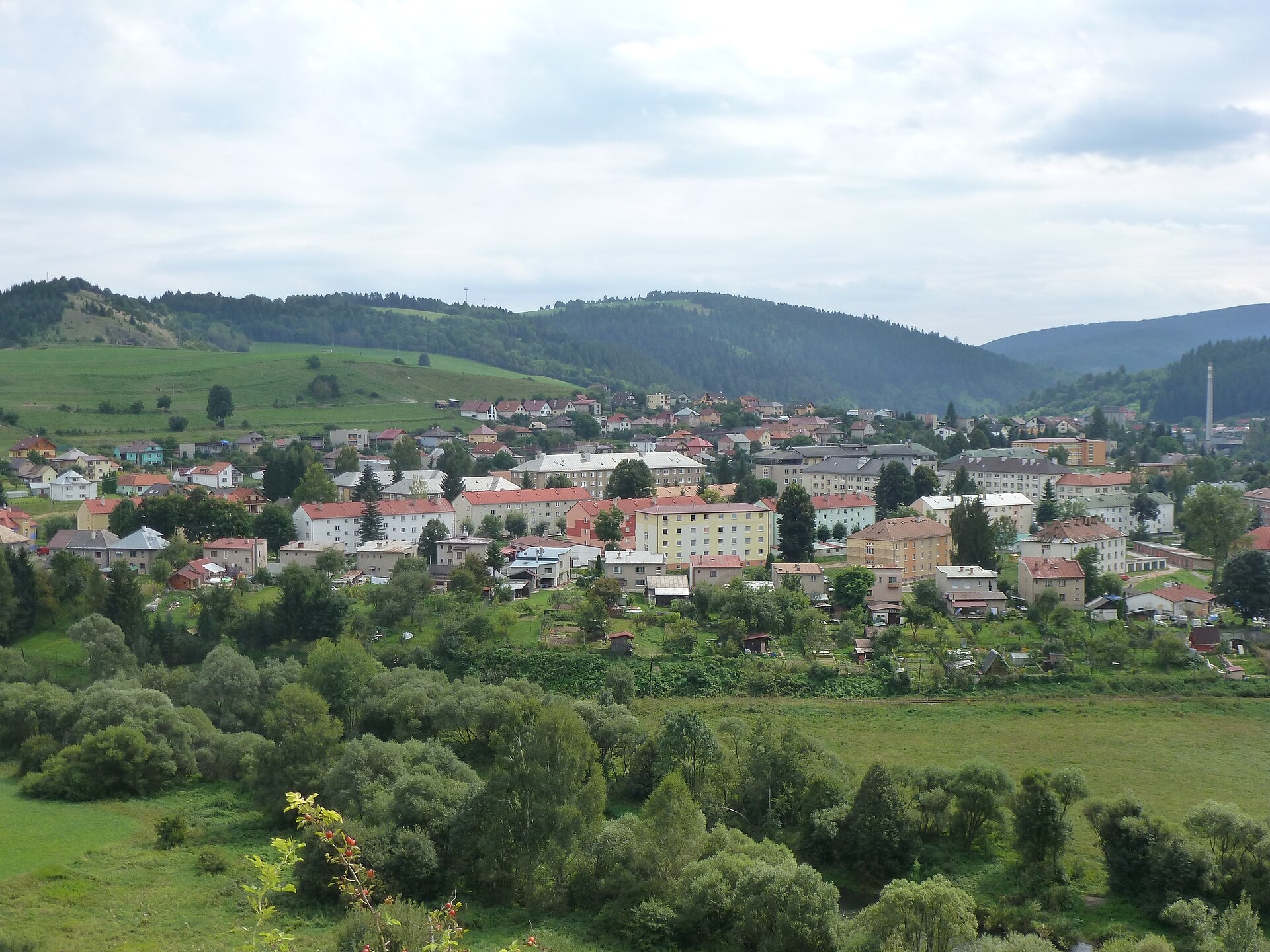
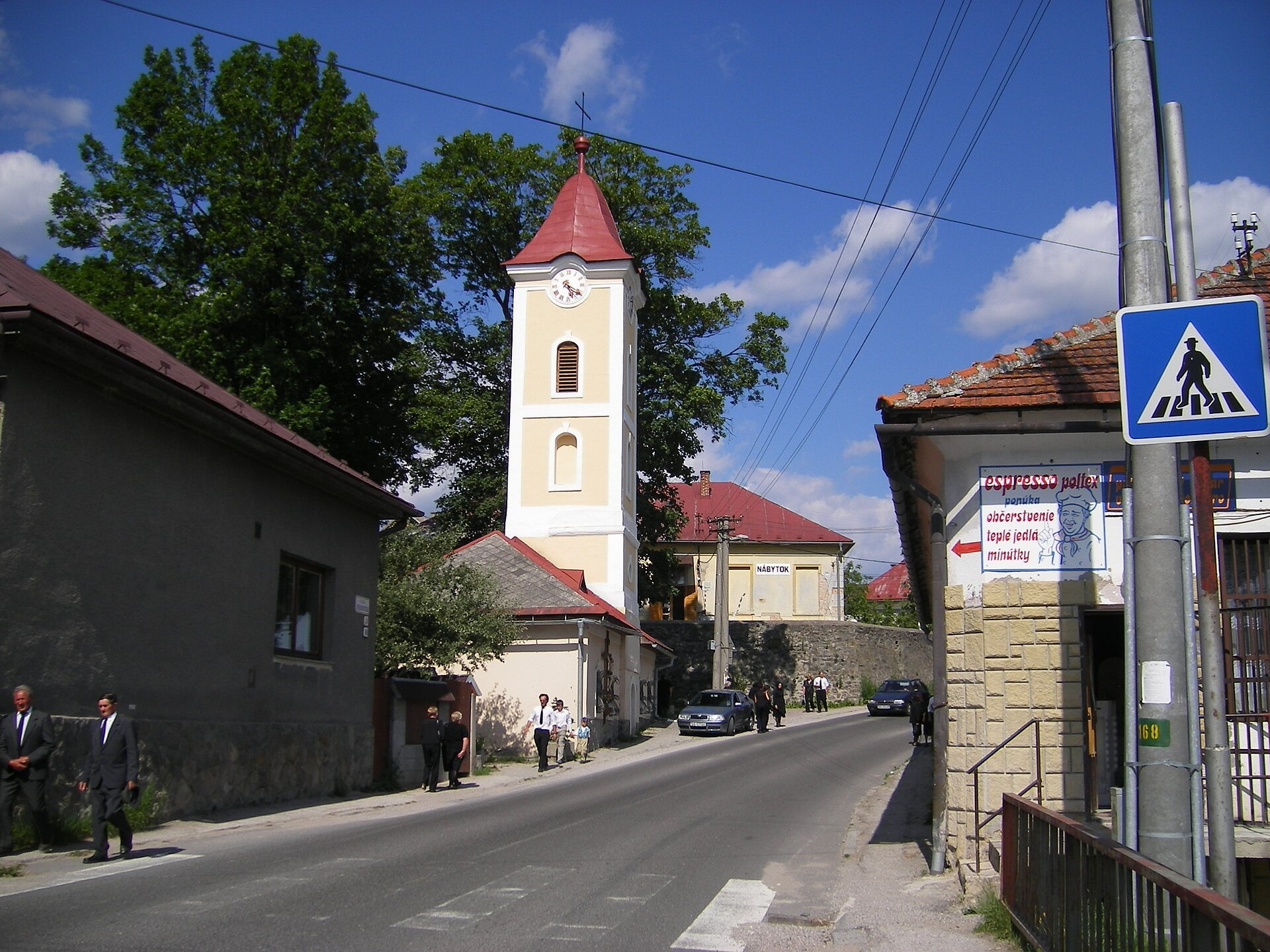
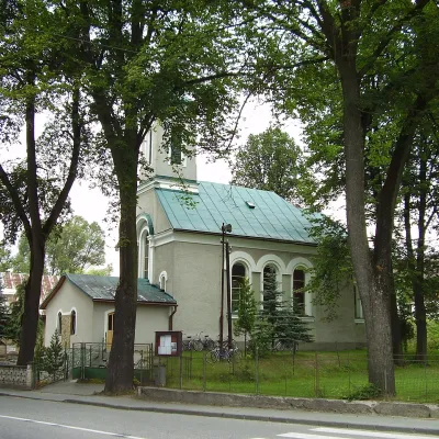
Photos: Čierny Balog (Draceane, CC BY-SA 4.0); Pohronská Polhora (Pudelek (Marcin Szala), CC BY-SA 3.0); Šumiac (Ján Púpava, CC BY-SA 3.0); Valaská (Ra1n, CC BY 3.0); Polomka (Szeder László, CC BY-SA 3.0)
Brezno District is an administrative district in the Banská Bystrica Region of central Slovakia. Its administrative centre is the town of Brezno. The district was established in 1923, and its current borders date from 1996 following an administrative reform. Before 1918, most of the area belonged to the historical Zvolen county of the Kingdom of Hungary, with the eastern part (Polomka) in Gemer county. The population is predominantly Slovak.
Brezno District is known for its mountainous terrain, including the Kráľovohoľské Tatry. The region features rich natural landscapes with forests and mountain meadows. There is also a Ukrainian-Rusyn community, particularly in the villages of Šumiac and Telgárt.
karpaty.rocks offers routes and sites in towns and villages such as Šumiac, Jaraba, Pohornská Polhora, Čierny Balog, Pohorelá, Telgárt, Jasení, Bystrá, Polomka, Hronec, Heľpa, and Drábskó. Popular trails include Jasení, PD – Habenec, Pohorelá, station – Andrejcova shelter, Benuš – Čertovica, motel. Notable peaks are Kráľova hoľa and Klenovský Vepor, and sights include Bystrianska Cave, Čiernohronská Forest Railway, Vydrovo Forest Open-Air Museum, and Kráľova hoľa – Low Tatras meadows. Mountain huts available are Chata pod Kráľovou hoľou and Chata Štefánika pod Ďumbierom.
Getting there from Ukraine
From Uzhhorod to Brezno ≈274 km, ≈3 h 50 min without queues: Uzhhorod – Vyšné Nemecké → I/19 to Košice → D1 via Prešov and Poprad to the exit near Liptovský Hrádok → I/18 and I/72 over the Čertovica Pass to Brezno. To Banská Bystrica ≈322 km, ≈4 h 30 min: D1 to Ružomberok, then I/59 via Donovaly. From Lviv: to Brezno via Uzhok and Ubľa ≈498 km (≈7 h 45 min) or through Poland ≈554 km (≈7 h 05 min); to Banská Bystrica through Poland (Kraków – Chyżne – Trstená – Dolný Kubín – Ružomberok) ≈535 km, ≈7 h 15 min. The D1 requires an e-vignette (eznamka.sk).
Sources: Wikipedia, Wikidata, OpenStreetMap, Karpaty.rocks data.
Towns and villages
 Šumiac9 trails, 1 peak, 1 sight
 Pohronská Polhora8 trails, 2 peaks
 Jarabá8 trails, 1 mountain hut or shelter
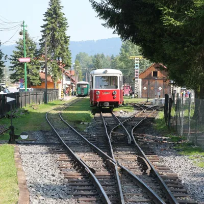 Čierny Balog4 trails, 2 sights
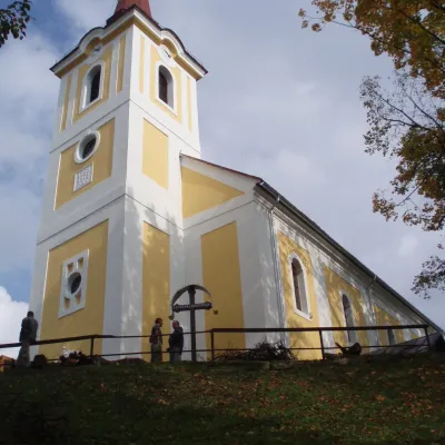 Pohorelá5 trails
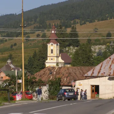 Telgárt5 trails
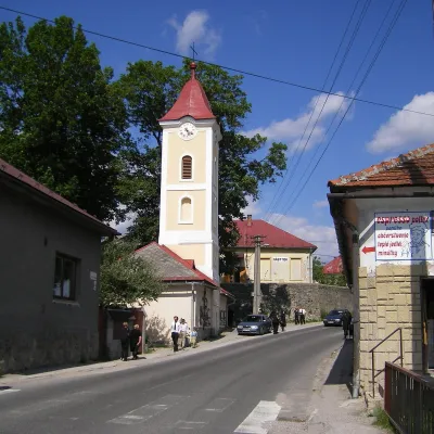 Polomka4 trails
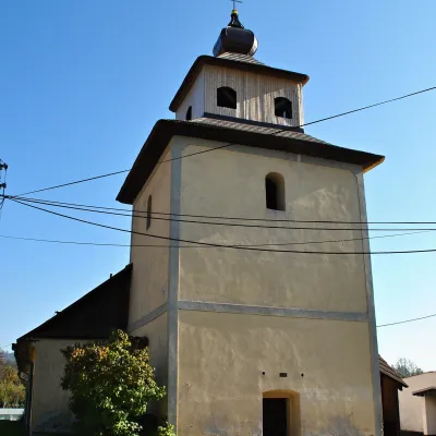 Jasenie4 trails
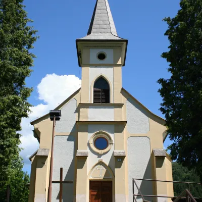 Bystrá4 trails
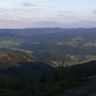 Heľpa3 trails
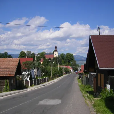 Závadka nad Hronom3 trails
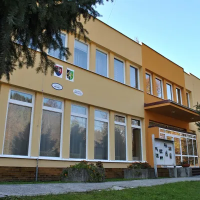 Hronec3 trails
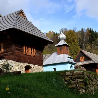 Drábsko3 trails
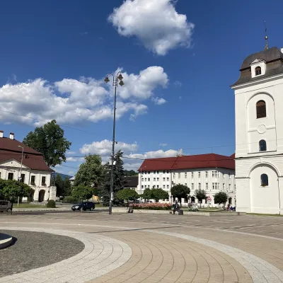 Brezno2 trails
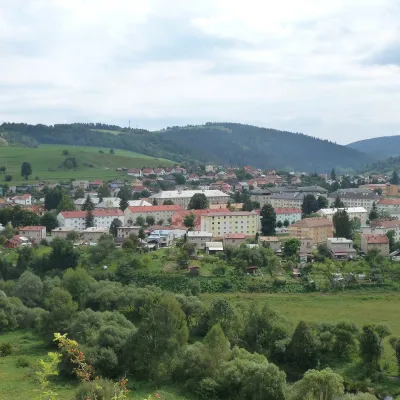 Valaská1 trail, 1 sight
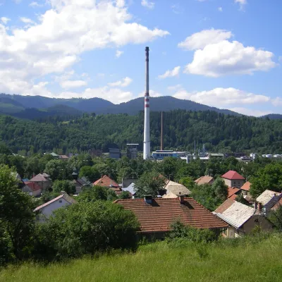 Nemecká2 trailsDolná Lehota2 trails
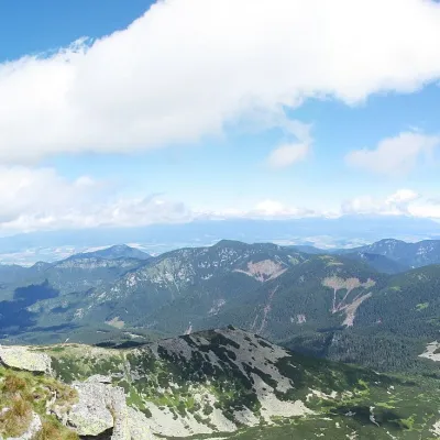 Horná Lehota2 trails
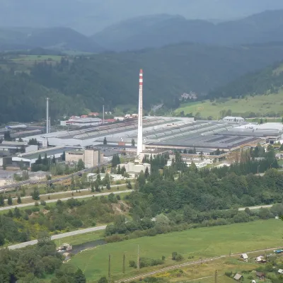 Podbrezová1 trail
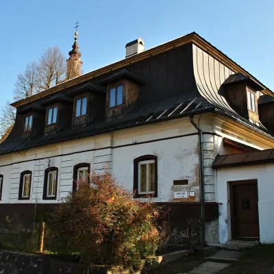 Predajná1 trail
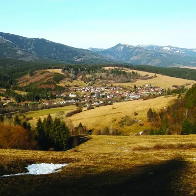 Beňuš1 trail
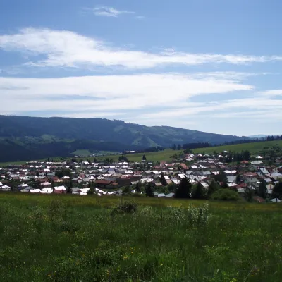 Bacúch1 trail
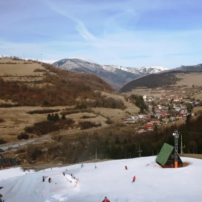 Mýto pod Ďumbierom1 trail
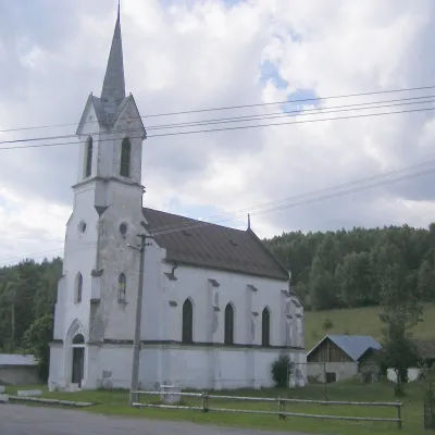 Vaľkovňa1 trail
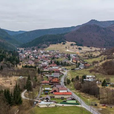 Osrblie1 trail
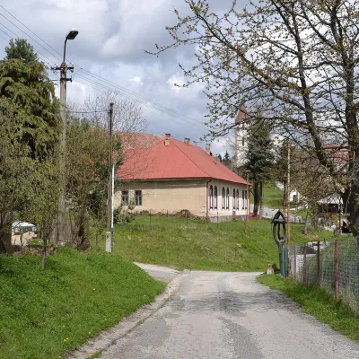 Lom nad Rimavicou1 trail
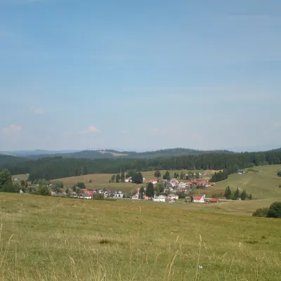 Sihla1 trail
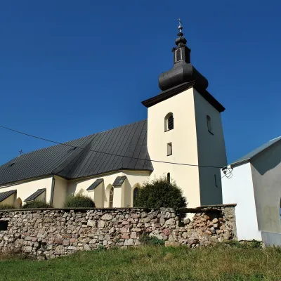 Lopej1 trail
 MichalováBraväcovo
Getting there from Ukraine
Border crossings
- Uzhhorod – Vyšné Nemecké — road, 24/7
- Malyi Bereznyi – Ubľa — road, 24/7 For cars and buses; pedestrians not confirmed by the Ukrainian border service, lorries up to 3.5 t.
- Mali Selmentsi – Veľké Slemence (pedestrian) — pedestrian, 09:00–21:00 Kyiv time Pedestrians and cyclists only; inconvenient for the Tatras without onward transport.
- Chop – Čierna nad Tisou (rail) — rail, 24/7
By car
From Uzhhorod to Brezno ≈274 km, ≈3 h 50 min without queues: Uzhhorod – Vyšné Nemecké → I/19 to Košice → D1 via Prešov and Poprad to the exit near Liptovský Hrádok → I/18 and I/72 over the Čertovica Pass to Brezno. To Banská Bystrica ≈322 km, ≈4 h 30 min: D1 to Ružomberok, then I/59 via Donovaly. From Lviv: to Brezno via Uzhok and Ubľa ≈498 km (≈7 h 45 min) or through Poland ≈554 km (≈7 h 05 min); to Banská Bystrica through Poland (Kraków – Chyżne – Trstená – Dolný Kubín – Ružomberok) ≈535 km, ≈7 h 15 min. The D1 requires an e-vignette (eznamka.sk).
Checked 23.10.2026; border crossing hours and timetables change — check before you travel.
