Šumiac
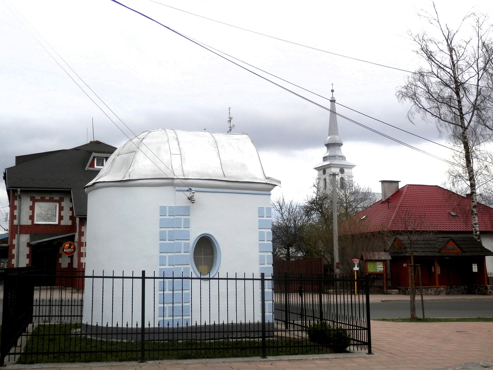
Photos: Ján Púpava, CC BY-SA 3.0 (Wikimedia Commons); Janobb, CC BY 3.0 (Wikimedia Commons); Janobb, CC BY 3.0 (Wikimedia Commons); Ján Púpava, CC BY-SA 3.0 (Wikimedia Commons); Ing.Mgr.Jozef Kotulič, CC BY-SA 4.0 (Wikimedia Commons); Jerzy Opioła, CC BY-SA 4.0 (Wikimedia Commons)
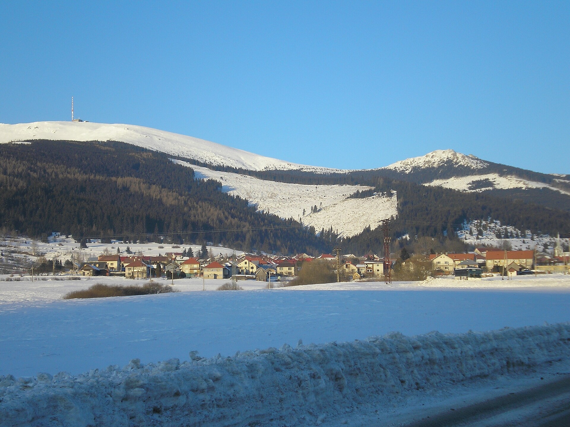
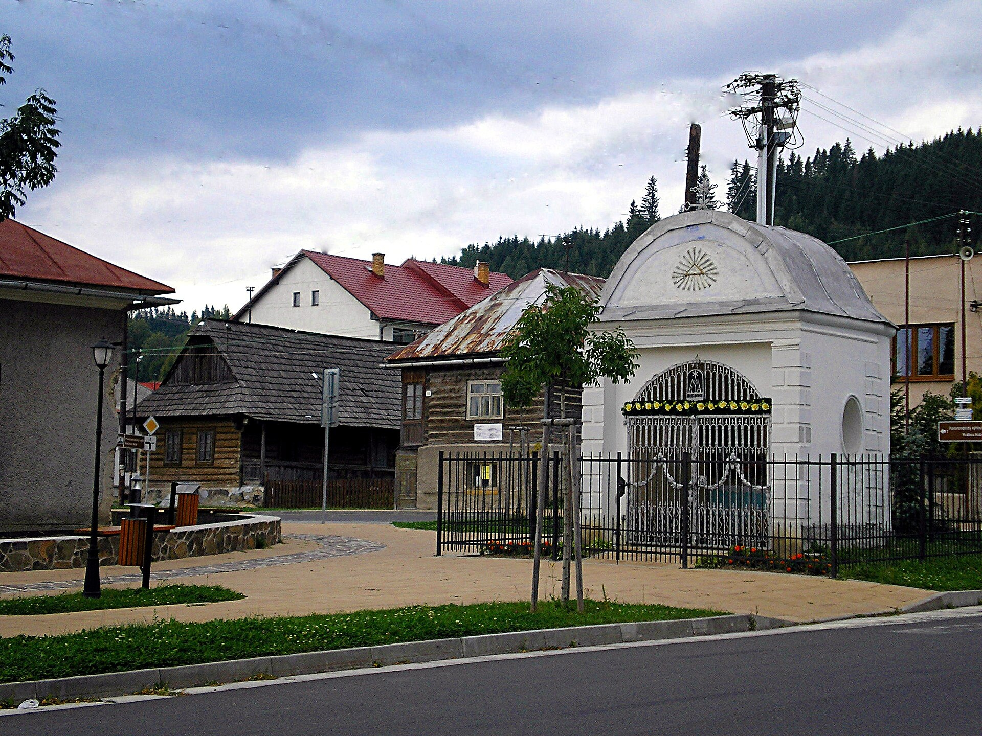
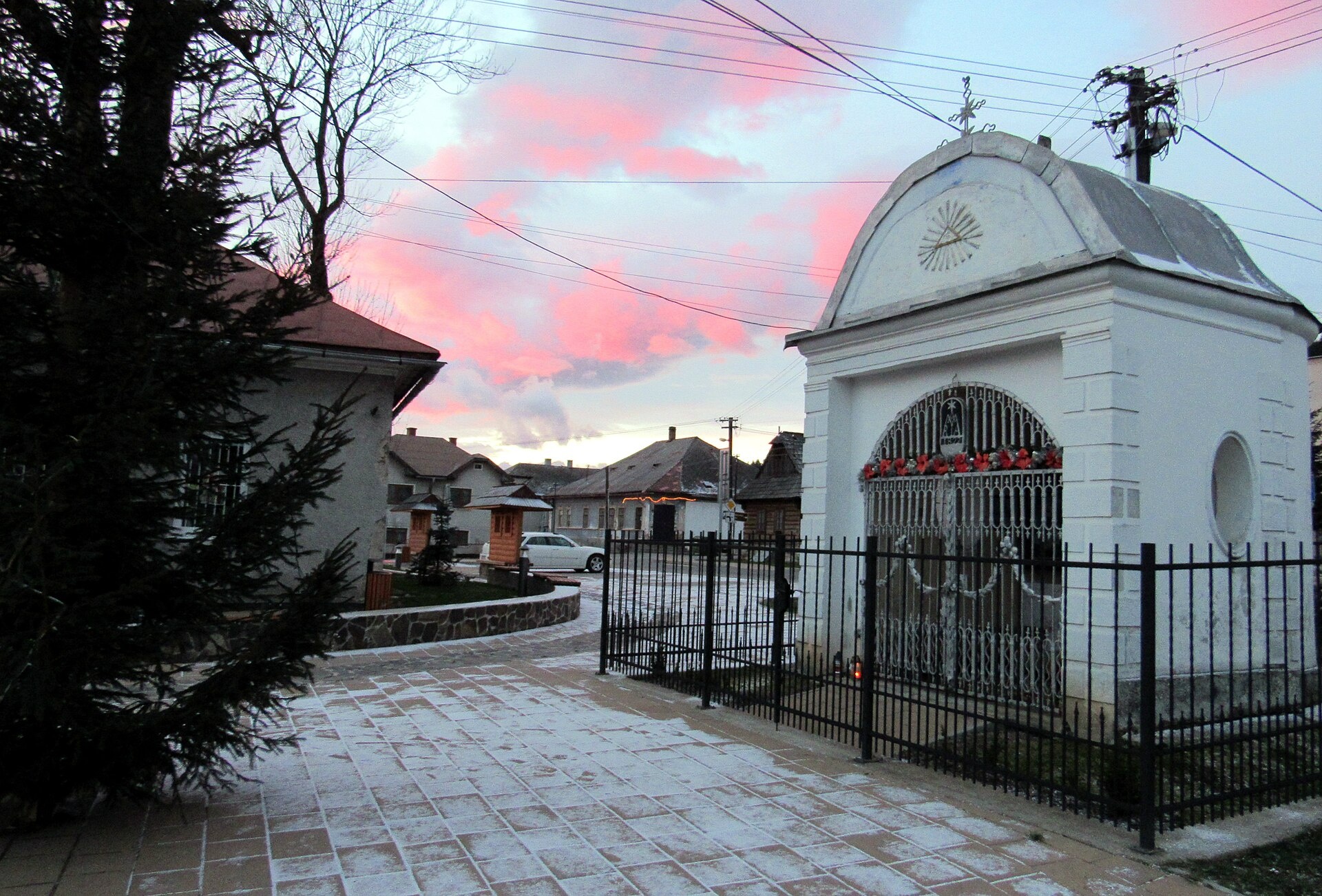
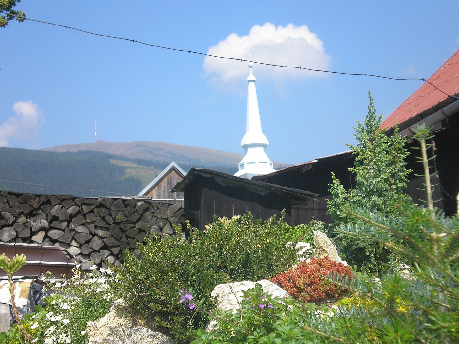
Šumiac is a village in the Brezno District of the Banská Bystrica Region, Slovakia, situated at 841 metres above sea level near the foot of the Kráľova hoľa massif in the Low Tatras. The Šumiacky stream flows through the village, and the surrounding mountains offer scenic landscapes typical of the Carpathian region.
The first written mention of Šumiac dates back to 1573. The village was founded under Vlach law and belonged to the Muráň estate, with a hereditary reeve. Historically, the local economy was based on sheep and cattle breeding, agriculture, forestry, and later, work on railway construction and nearby industrial sites.
Šumiac is known as a popular starting point for hikes to Kráľova hoľa and for its private Museum of Bells, which preserves a rich collection of pastoral bells and items connected to the region’s traditions. The village maintains a strong Greek Catholic heritage, and its setting in the Low Tatras provides picturesque views and a unique cultural atmosphere.
Visitors to Šumiac can enjoy numerous activities: a blue-marked hiking trail leads from the village centre to Kráľova hoľa. The area features routes such as "Pogorela, station – Andrejcova shelter," "Sedlo Priehyba – Ipoltica Valley, mouth," "Rudná magistrála: Kadák – Stolica," as well as the peaks Kráľova hoľa and Stolica. For mountain stays, the "Chata pod Kráľovou hoľou" hut is available, and nature lovers will appreciate the mountain meadows of Kráľova hoľa.
Getting there from Ukraine
Uzhhorod – Poprad ≈195 km, ≈2 h 55 min without queues: Uzhhorod – Vyšné Nemecké checkpoint → I/19 via Sobrance and Michalovce → Košice → D1 motorway via Prešov → Poprad (Liptovský Mikuláš is ≈56 km further on the D1, total ≈249 km). The D1 requires an e-vignette (eznamka.sk).
Sources: Wikipedia, Wikidata, OpenStreetMap, Karpaty.rocks data. More on Wikipedia
Video

Trails nearby
All trails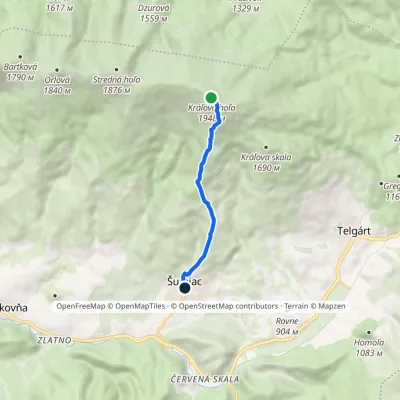 ModerateOne-dayMarkedTrail of State Enterprise LESY SRElevation profile889–1 941 m5.6 kmascent 1 m≈ 1.5 h walkingunder 1 km from the centre
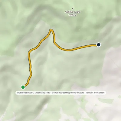 EasyOne-dayMarkedHorebez Pod žľabyElevation profile1 161–1 309 m3.7 kmascent 148 m≈ 1 h walking1.5 km from the centre
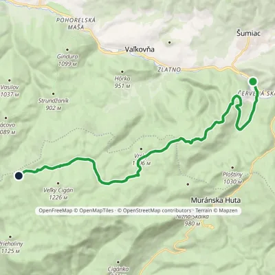 ModerateOne-dayMarkedČervená Skala Well on Muránska planinaElevation profile790–1 217 m16.4 kmascent 605 m≈ 5.5 h walking1.8 km from the centre
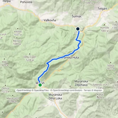 ModerateOne-dayMarkedČervená Skala Sedlo DielikElevation profile393–990 m15.3 kmascent 682 m≈ 5 h walking1.8 km from the centre
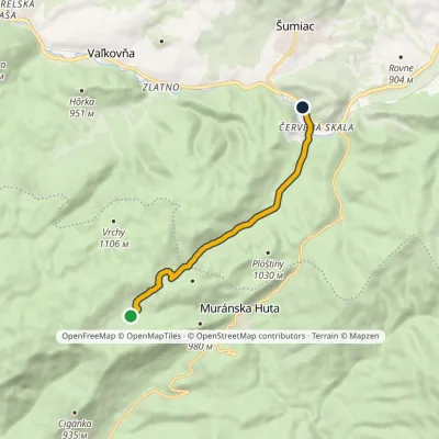 EasyOne-dayMarkedČervená Skala ŠindliarkaElevation profile790–987 m7.8 kmascent 103 m≈ 2 h walking1.8 km from the centre
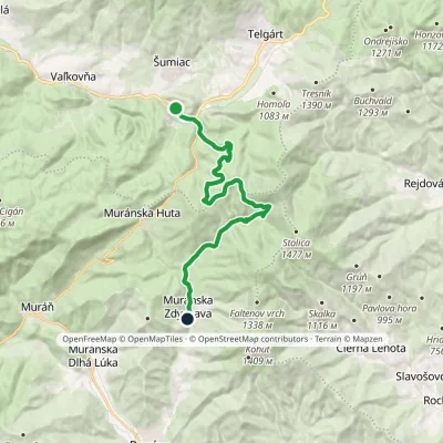 ModerateTwo-dayMarkedČervená Skala Muránska ZdychavaElevation profile526–1 194 m20.7 kmascent 468 m≈ 6 h walking1.8 km from the centre
Peaks nearby
All peaks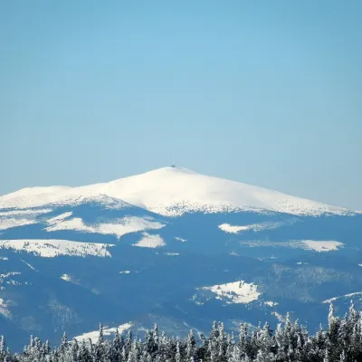 PeakKráľova hoľaŠumiacaltitude 1 946 m5 km from the centreKráľova hoľa (German Königsberg, Hungarian Király-hegy – “King's Mountain”) is a 1,946 m summit, the highest in the eastern part of the Low Tatras, which are called...
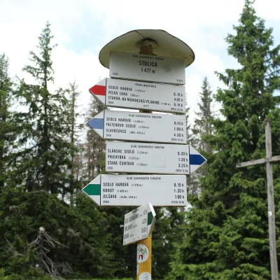 PeakStolicaMuránska Zdychavaaltitude 1 476 m9.3 km from the centreStolica (Hungarian Sztolica) is the highest peak of the Stolické vrchy and of the entire Slovak Ore Mountains at 1,476 m.
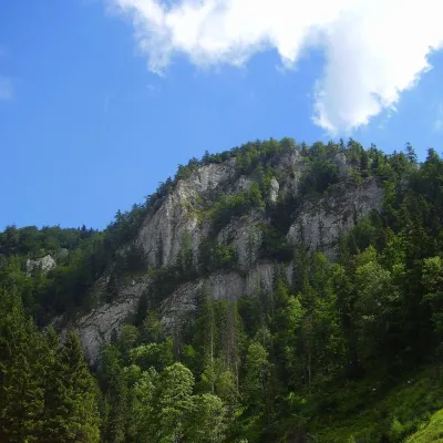 PeakHavrania skalaStratenáaltitude 1 156 m17 km from the centreHavrania skala (Raven Rock) is a 1,156 m summit, one of the highest in the Slovak Paradise. It stands in the southern part of the national park, about 3 km north of...
What to visit
All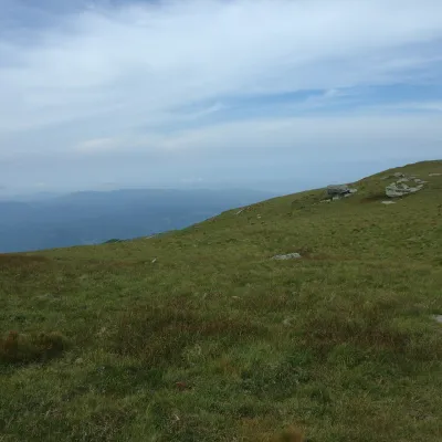 Mountain meadowKráľova hoľa — mountain meadows of the Low TatrasŠumiacaltitude 1 946 m5 km from the centreKráľova hoľa (1,946 m) is a broad, treeless «hoľa» — a mountain meadow above the tree line — at the eastern end of the main ridge of the Low Tatras.
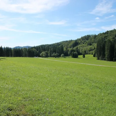 Mountain meadowVeľká lúka on Muránska planinaMuráňaltitude 887 m8.2 km from the centreVeľká lúka («the Great Meadow») is a huge mountain meadow on the limestone Muránska planina plateau north of the village of Muráň, in the south-eastern part of the...
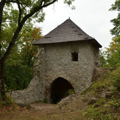 CastleMuráň CastleMuráň10 km from the centreMuráň Castle (Muránsky hrad, officially Muráň) is the ruin of a medieval castle on the summit of Cigánka (935 m) at the southern edge of the Muránska planina plateau,...
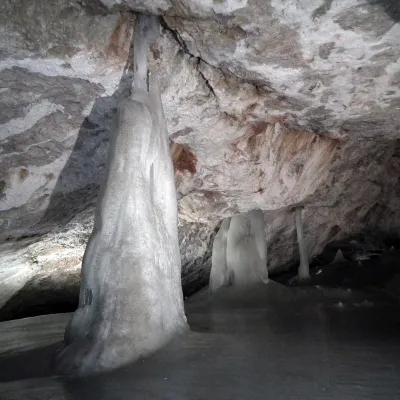 NatureDobšinská Ice CaveDobšiná13 km from the centreDobšinská Ice Cave (Dobšinská ľadová jaskyňa) is one of the most important ice caves in the world. Since 2000 it has been on the UNESCO World Natural Heritage list.
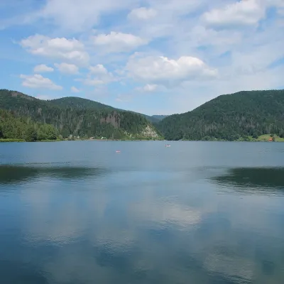 LakePalcmanská Maša reservoirDedinky18 km from the centrePalcmanská Maša is the largest reservoir in the Slovak Paradise. It lies on the upper course of the Hnilec river, in a basin-like widening of the valley below the...
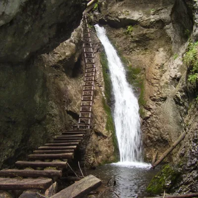 WaterfallVeľký Sokol Gorge and its waterfallsStratená19 km from the centreVeľký Sokol is the longest gorge in the Slovak Paradise National Park and, according to the park administration, one of its wildest and most exposed.
Craft nearby
All craft places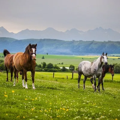 Horse ridingRanč u Trapera, Podlesok: Horse Rides in the Slovak ParadiseHrabušice23 km from the centreA little away from the main tourist bustle, below the forest, stands the family-run Ranč u Trapera, run by the Salaj family.
 Cheese dairies & pasturesSalaš Zbojská: sheep’s cheese, bryndza and žinčica on the passTisovec23 km from the centreThe Zbojská pass lies at about 740 metres in the forests between Brezno and Tisovec, on the edge of the Hron valley and the Muránska planina plateau.
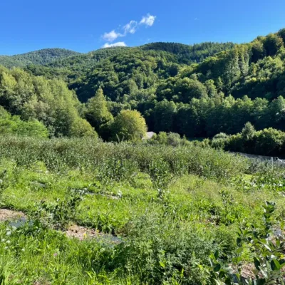 Eco farmsČučoriedková záhrada: pick-your-own blueberries and aronia juiceRatkovské Bystré23 km from the centreHere in 2010 the owners’ family planted the first Canadian blueberry bushes on a small plot — and gradually grew them into the Čučoriedková záhrada (Blueberry Garden).
Spas and thermal pools nearby

Huts, shelters and springs nearby
 1 451 mMountain shelterKráľova hoľa HutLow Tatras · SlovakiaStanding50 m from a trailSleeps up to 8Meals served
Getting there from Ukraine
Border crossings
- Uzhhorod – Vyšné Nemecké — road, 24/7
- Malyi Bereznyi – Ubľa — road, 24/7 For cars and buses; pedestrians not confirmed by the Ukrainian border service, lorries up to 3.5 t.
- Mali Selmentsi – Veľké Slemence (pedestrian) — pedestrian, 09:00–21:00 Kyiv time Pedestrians and cyclists only; inconvenient for the Tatras without onward transport.
- Chop – Čierna nad Tisou (rail) — rail, 24/7
By car
Uzhhorod – Poprad ≈195 km, ≈2 h 55 min without queues: Uzhhorod – Vyšné Nemecké checkpoint → I/19 via Sobrance and Michalovce → Košice → D1 motorway via Prešov → Poprad (Liptovský Mikuláš is ≈56 km further on the D1, total ≈249 km). Košice – Poprad ≈112 km. The D1 requires an e-vignette (eznamka.sk). Note: from Lviv the fastest way to Poprad is through Poland — Krakovets – A4 – Kraków – Zakopane – Łysa Polana ≈468 km (≈5 h 50 min); via Uzhok and Malyi Bereznyi ≈419 km but slower (≈6 h 40 min). Zakopane – Poprad ≈69 km, Zakopane – Liptovský Mikuláš ≈80 km.
Checked 23.10.2026; border crossing hours and timetables change — check before you travel.
