Kráľova hoľa
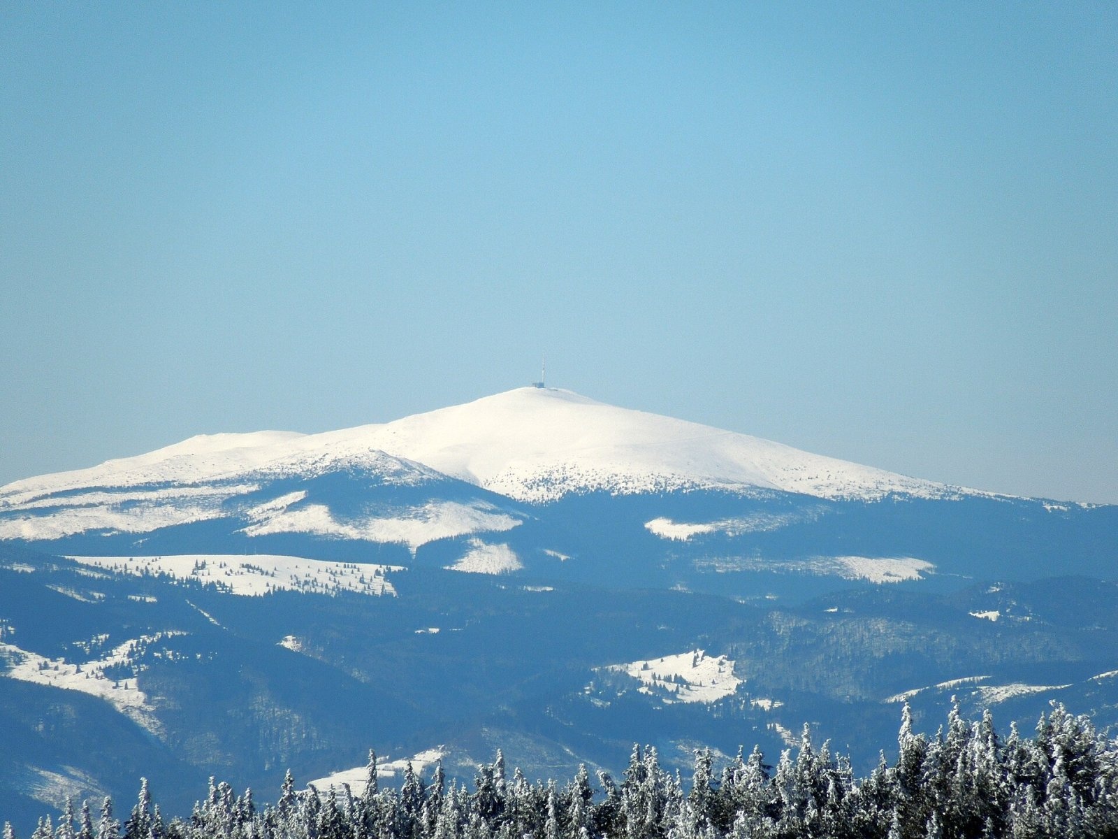
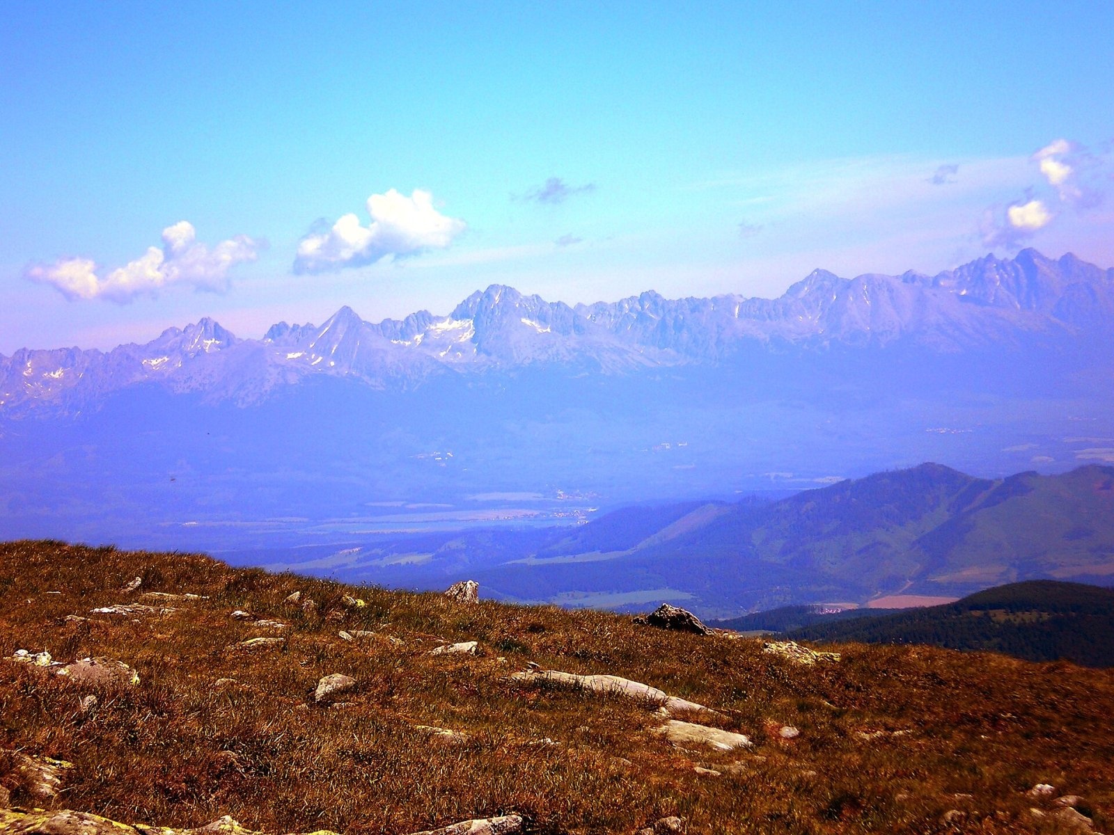
Kráľova hoľa (German Königsberg, Hungarian Király-hegy – “King's Mountain”) is a 1,946 m summit, the highest in the eastern part of the Low Tatras, which are called the Kráľova hoľa Tatras after it. It rises above Šumiac, about 19 km south of Svit, in Brezno District of the Banská Bystrica Region; around it lie Telgárt and Šumiac to the south, Vernár to the north-east and Liptovská Teplička and Vikartovce to the north. The summit belongs to the Low Tatras National Park (NAPANT). Together with Kriváň in the High Tatras, Kráľova hoľa is regarded as a national mountain of the Slovaks: it is celebrated in folk songs and Romantic poetry, notably Ján Botto's The Death of Jánošík (1862).
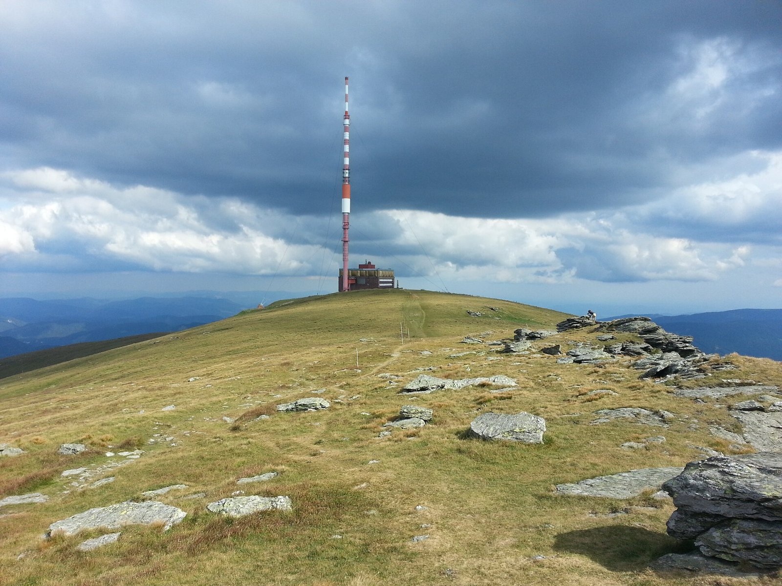
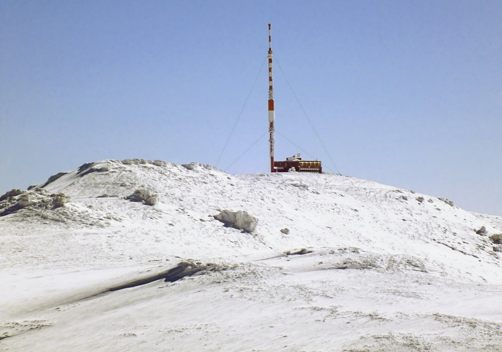
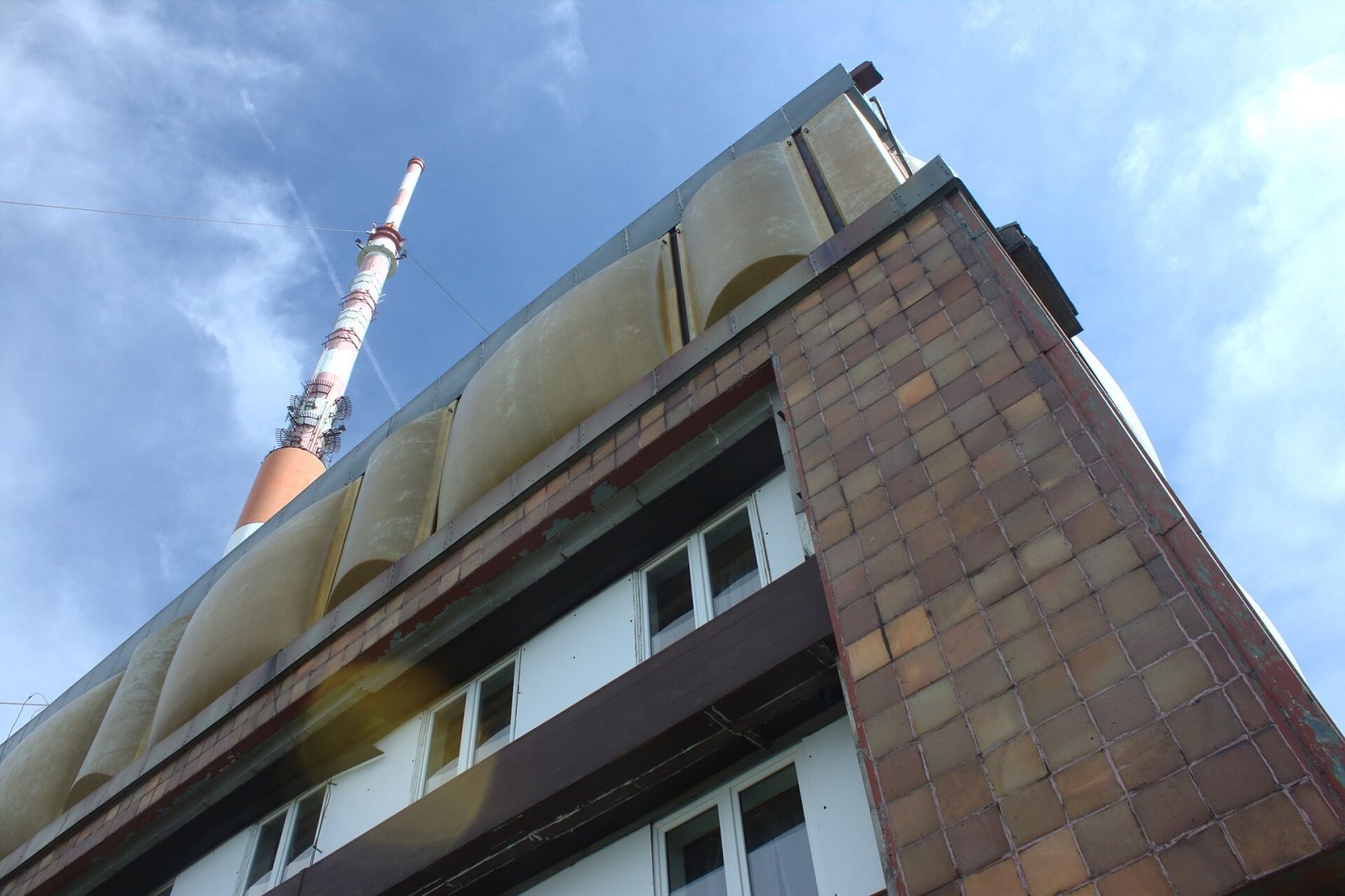
The mountain is the last major elevation at the eastern end of the main ridge, east of Stredná hoľa (1,876 m). The broad treeless summit with stony fields rises above the tree line. Major Slovak rivers rise below Kráľova hoľa: the Čierny Váh on the northern slope at about 1,680 m and the Hnilec on the north-eastern slope at about 1,770 m, and the watersheds of the Váh, Hnilec, Hornád and Hron basins run over its slopes. Since 1960 a TV and radio transmitter with a mast about 137 m high, visible from far away, has stood on the top; its building houses a weather station, a Mountain Rescue Service post and a small emergency shelter for hikers.
How to get there / routes
Several marked trails meet on the summit, and the red ridge trail – the Heroes of the SNP trail (part of the European E8) – crosses it.
- Red trail – from Telgárt in the east, or from the west along the main ridge from the Ždiarske saddle via Orlová.
- Blue trail – from Šumiac in the south via the Predné saddle (1,451 m), or from Spišské Bystré in the north-east via the Smrečinské saddle (1,442 m).
- Green trail – from Liptovská Teplička in the north via Zátureň, or from Telgárt in the south-east via Kráľova skala (1,690 m).
- The road from Šumiac – 11.5 km of hairpins with 1,162 m of ascent (10.6% on average, over 12% in places); gravel lower down, asphalt higher up. It is closed to cars but open to cyclists.
On the Predné saddle, which the road crosses, a former service building was turned into the year-round Chata pod Kráľovou hoľou. For the ridge walk west you can stay in the Andrejcová shelter, open all year but not staffed. Sources give no official walking times.
What you can see from the summit
The low grassy vegetation gives a clear all-round panorama, and Kráľova hoľa is considered one of the best viewpoints in Slovakia. You can see the Low Tatras with Ďumbier, the Levoča hills, the High and Western Tatras, the Choč hills, the Malá Fatra, the Kremnica hills, Poľana, the Vepor, Stolica and Volovské hills, the Spiš-Gemer Karst, the Slovak Paradise and Branisko, and often the mountains of northern Hungary. In exceptional visibility even the Romanian Apuseni Mountains – Vlădeasa (308 km) and Buteasa (309.6 km) – have been photographed from here, the Slovak record for the longest observed distance.
Nature and history
The summit is built of phyllonites and paragneisses, the western slopes of orthogneisses and the eastern ones of granodiorites. Up to 1,500–1,550 m the slopes are covered by spruce forest with fir, larch and sycamore; above the tree line, on the northern slopes and around Kráľova skala, grow dwarf pine with bilberry and lingonberry, and highest up mountain meadows. In the early 19th century the forests were cut down ruthlessly, and in the second half of the century the forester Ludwig Greiner restored the tree line to its natural height of about 1,650 m. On the slopes there is the “Primeval forests of Slovakia – Kráľova hoľa” nature reserve (187 ha).
Legend says that King Béla IV of Hungary hid here from the Mongols in 1241, and the name is linked to King Matthias Corvinus, who had hunting grounds here: after a successful hunt in 1474 he is said to have had an inscription carved into a large flat stone – the “royal table”. The scholar Matej Bel (1684–1749) is considered the first known visitor to the summit. The mountain was once thought to be the highest in the Low Tatras, but more accurate 19th-century surveys disproved this. During the Slovak National Uprising the Jánošík partisan group had shelters below the summit, commemorated by a memorial pillar with a relief.
Safety, season and rules
The summit is exposed to wind: the climate is alpine, winter is long, cold and snowy, and in fog it is easy to lose your way on the broad ridge. Stay on marked trails in the national park. A Mountain Rescue Service post operates right on the summit; HZS number: 18 300 (+421 18 300) or 112.
Interesting facts
- According to Polish sources the transmitter's signal reaches a quarter of Slovakia's territory and southern Poland.
- The concrete triangulation pillar west of the mast is one of the main points of Slovakia's triangulation network.
Photos: Milan Bališin, CC BY-SA 4.0; Gregor Rom, CC BY-SA 3.0; Roweromaniak, CC BY-SA 3.0; I would appreciate being notified if you use my work outside Wikimedia. More of my work can be found in my personal gallery., CC BY-SA 4.0; Janobb, CC BY 3.0 — Wikimedia Commons.
Getting there from Ukraine
Border crossings
- Uzhhorod – Vyšné Nemecké — road, 24/7
- Malyi Bereznyi – Ubľa — road, 24/7 For cars and buses; pedestrians not confirmed by the Ukrainian border service, lorries up to 3.5 t.
- Mali Selmentsi – Veľké Slemence (pedestrian) — pedestrian, 09:00–21:00 Kyiv time Pedestrians and cyclists only; inconvenient for the Tatras without onward transport.
- Chop – Čierna nad Tisou (rail) — rail, 24/7
By car
Uzhhorod – Poprad ≈195 km, ≈2 h 55 min without queues: Uzhhorod – Vyšné Nemecké checkpoint → I/19 via Sobrance and Michalovce → Košice → D1 motorway via Prešov → Poprad (Liptovský Mikuláš is ≈56 km further on the D1, total ≈249 km). Košice – Poprad ≈112 km. The D1 requires an e-vignette (eznamka.sk). Note: from Lviv the fastest way to Poprad is through Poland — Krakovets – A4 – Kraków – Zakopane – Łysa Polana ≈468 km (≈5 h 50 min); via Uzhok and Malyi Bereznyi ≈419 km but slower (≈6 h 40 min). Zakopane – Poprad ≈69 km, Zakopane – Liptovský Mikuláš ≈80 km.
Checked 23.10.2026; border crossing hours and timetables change — check before you travel.
Location on the map
Water and shelter nearby
- Čierny Váh Spring730 m · Not verified · 1 668 m
- Spring below Kráľova Hoľa750 m · Not verified · 1 713 m
- Hnilca Spring810 m · Not verified · 1 809 m
- Váh Spring1.3 km · Not verified · 1 513 m
- Spring below Kráľova skala (north-west slope), 1 722 m1.3 km · Not verified · 1 722 m
- Spring below Kráľova skala (north-west slope), 1 667 m1.4 km · Not verified · 1 667 m
- Spring below Kráľova skala (west slope)1.4 km · Not verified · 1 601 m
- Zubrovice Spring1.7 km · Not verified · 1 663 m
- Kráľova hoľa Hut2.3 km · Standing · 1 451 m
- Spring below Kráľova skala (south-west slope)2.5 km · Not verified · 1 298 m
Comments
Trails nearby
All trails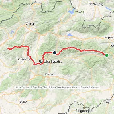 HardMulti-dayMarkedHorná Poruba, U Brdárov Pred ČuntavouElevation profile309–2 004 m241.6 kmascent 15 694 munder 1 km from Kráľova hoľa
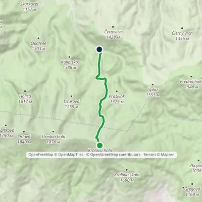 ModerateOne-dayMarkedHoráreň Veľký Brunov Kráľova hoľaElevation profile1 016–1 941 m6 kmascent 4 m≈ 1.5 h walkingunder 1 km from Kráľova hoľa
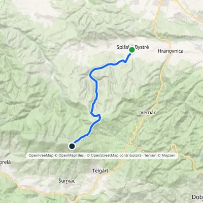 HardTwo-dayMarkedSpišské Bystré Kráľova hoľaElevation profile670–1 941 m19.6 kmascent 1 342 m≈ 7.5 h walkingunder 1 km from Kráľova hoľa
Nearby attractions
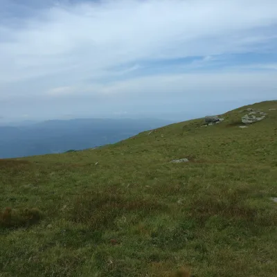 Mountain meadowKráľova hoľa — mountain meadows of the Low TatrasŠumiacaltitude 1 946 munder 1 km from Kráľova hoľaKráľova hoľa (1,946 m) is a broad, treeless «hoľa» — a mountain meadow above the tree line — at the eastern end of the main ridge of the Low Tatras.
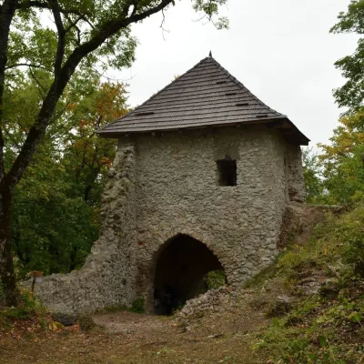 CastleMuráň CastleMuráň15 km from Kráľova hoľaMuráň Castle (Muránsky hrad, officially Muráň) is the ruin of a medieval castle on the summit of Cigánka (935 m) at the southern edge of the Muránska planina plateau,...
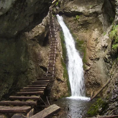 WaterfallVeľký Sokol Gorge and its waterfallsStratená17 km from Kráľova hoľaVeľký Sokol is the longest gorge in the Slovak Paradise National Park and, according to the park administration, one of its wildest and most exposed.
Craft nearby
All craft places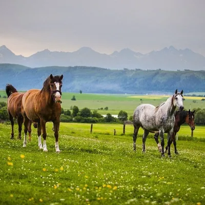 Horse ridingRanč u Trapera, Podlesok: Horse Rides in the Slovak ParadiseHrabušice20 km from Kráľova hoľaA little away from the main tourist bustle, below the forest, stands the family-run Ranč u Trapera, run by the Salaj family.
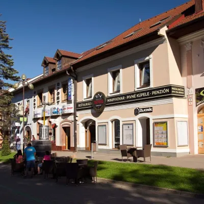 Craft beer & breweriesMinipivovar TATRAS, PopradPoprad22 km from Kráľova hoľaMinipivovar TATRAS is a brewpub on Poprad’s main square, Námestie sv. Egídia, housed in a building with a long brewing history.
 Water parks & thermal poolsAquaCity Poprad water parkPoprad23 km from Kráľova hoľaAquaCity Poprad is a large year-round water park and wellness complex in the town of Poprad, a few minutes from the centre; according to the complex, the High Tatras...
 Cheese dairies & pasturesSalaš Zbojská: sheep’s cheese, bryndza and žinčica on the passTisovec26 km from Kráľova hoľaThe Zbojská pass lies at about 740 metres in the forests between Brezno and Tisovec, on the edge of the Hron valley and the Muránska planina plateau.
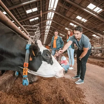 Eco farmsFarma Východná — organic farm below the TatrasVýchodná27 km from Kráľova hoľaFarma Východná is the highest-lying organic farm in Liptov, at 930 m in the village of Východná right below the Tatras.
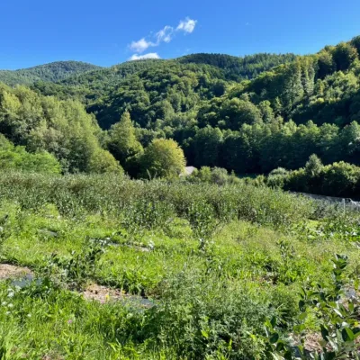 Eco farmsČučoriedková záhrada: pick-your-own blueberries and aronia juiceRatkovské Bystré28 km from Kráľova hoľaHere in 2010 the owners’ family planted the first Canadian blueberry bushes on a small plot — and gradually grew them into the Čučoriedková záhrada (Blueberry Garden).
