Červená Skala – Muránska Zdychava
Trail map
Route, springs and shelters: © OpenStreetMap contributors (ODbL) · elevation: Copernicus DEM © DLR e.V., © Airbus DS · Data & licences
About the trail
Route Červená Skala – Muránska Zdychava. Has green marking (regional route №5739, KST). Waymarking data: OpenStreetMap (© OpenStreetMap contributors, ODbL).
Officially marked regional tourist route No. 5739. The marking is green, the sign is a horizontal stripe on a white background. Marked and maintained by: KST. Length of the route — 20.7 km. Location: mountain range — Slovak Rudohorie, Slovakia.
At a glance
A one-day route of 20.7 km with 468 m of ascent from Červená Skala to Muránska Zdychava. Estimated walking time: about 6 h, not counting stops. Difficulty: moderate. Waymarking: green.
Route stages
- 0–2 kmGentle ups and downs at 790–820 m
- 2–4 kmClimb of 170 m (up to 988 m)
- 4–8 kmGentle ups and downs at 980–1,110 m
- 8–11 kmClimb of 130 m to Severná lúka Pass
- 11–21 kmDescent of 660 m to Muránska Zdychava
Steepest kilometre: km 12–13, a descent of 120 m (≈12%).
Water and overnight stays
A spring near the trail: at km 11. There are no springs between km 0 and 11 — carry at least 2 l of water.
Huts and shelters near the trail: Hut below Magura (west slope) (km 3), Hut below Magura (south-west slope) (km 5).
When to go
Best time: May to October. In winter deep snow is possible, so experience and winter gear are needed.
Getting there
Start: Červená Skala. This is a one-way route: the finish is 10 km from the start in a straight line, so plan your way back in advance.
FAQ
- How long does the route take?
- Estimated walking time: about 6 h, not counting stops.
- Is there water on the route?
- A spring near the trail: at km 11. There are no springs between km 0 and 11 — carry at least 2 l of water.
- Where can I stay overnight?
- Huts and shelters near the trail: Hut below Magura (west slope) (km 3), Hut below Magura (south-west slope) (km 5).
Water and shelter on the route
- Hut below Magura (west slope)km 2.8 from the start · Not verified · 889 m
- Hut below Magura (south-west slope)km 5.2 from the start · Not verified · 1 030 m
- Spring below Kyprov (west slope), 1 170 mkm 11.2 from the start · Not verified · 1 170 m
Comments
Trails nearby
All trails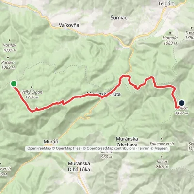 HardTwo-dayMarkedRudná magistrála: Kadak StolicaElevation profile706–1 479 m23.5 kmascent 833 m≈ 7.5 h walking
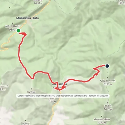 ModerateOne-dayMarkedSedlo Predná Hora Faltenovo sedlovia OrlováElevation profile526–1 259 m12.9 kmascent 972 m≈ 5 h walking
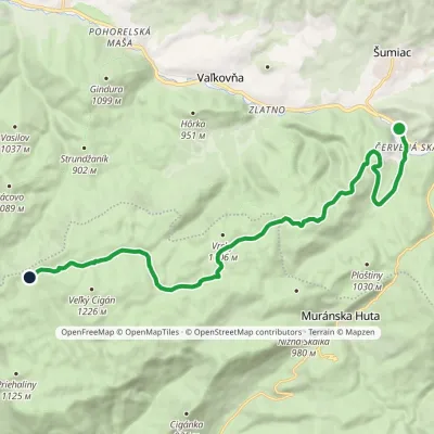 ModerateOne-dayMarkedČervená Skala Well on Muránska planinaElevation profile790–1 217 m16.4 kmascent 605 m≈ 5.5 h walking
Craft nearby
All craft places Eco farmsČučoriedková záhrada: pick-your-own blueberries and aronia juiceRatkovské Bystré21 km from the trailHere in 2010 the owners’ family planted the first Canadian blueberry bushes on a small plot — and gradually grew them into the Čučoriedková záhrada (Blueberry Garden).
 Cheese dairies & pasturesSalaš Zbojská: sheep’s cheese, bryndza and žinčica on the passTisovec22 km from the trailThe Zbojská pass lies at about 740 metres in the forests between Brezno and Tisovec, on the edge of the Hron valley and the Muránska planina plateau.
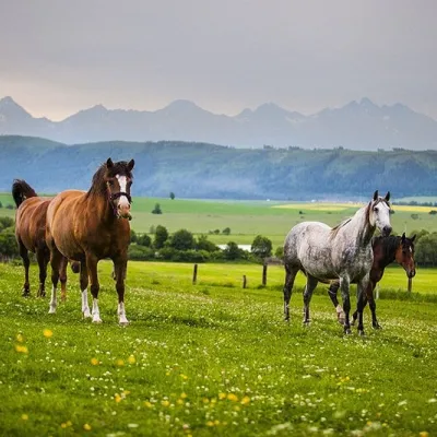 Horse ridingRanč u Trapera, Podlesok: Horse Rides in the Slovak ParadiseHrabušice24 km from the trailA little away from the main tourist bustle, below the forest, stands the family-run Ranč u Trapera, run by the Salaj family.
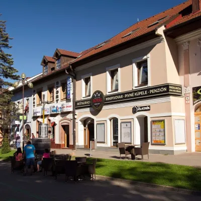 Craft beer & breweriesMinipivovar TATRAS, PopradPoprad28 km from the trailMinipivovar TATRAS is a brewpub on Poprad’s main square, Námestie sv. Egídia, housed in a building with a long brewing history.
 Water parks & thermal poolsAquaCity Poprad water parkPoprad29 km from the trailAquaCity Poprad is a large year-round water park and wellness complex in the town of Poprad, a few minutes from the centre; according to the complex, the High Tatras...
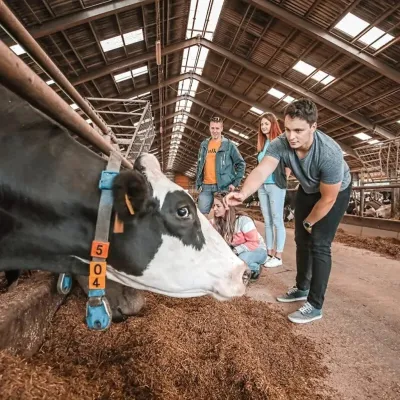 Eco farmsFarma Východná — organic farm below the TatrasVýchodná32 km from the trailFarma Východná is the highest-lying organic farm in Liptov, at 930 m in the village of Východná right below the Tatras.
