Veľká lúka on Muránska planina
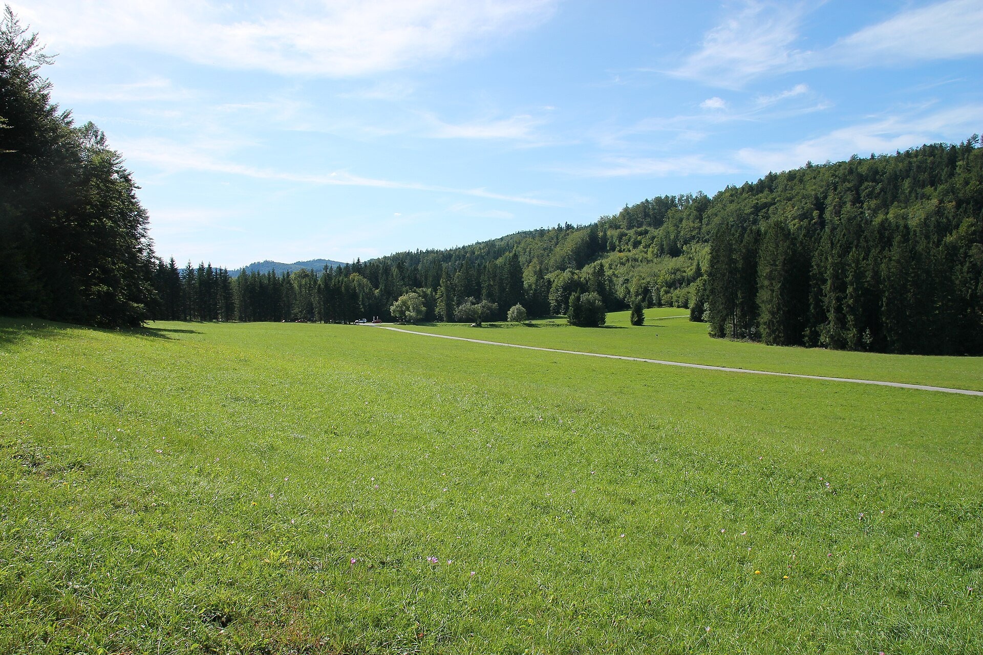
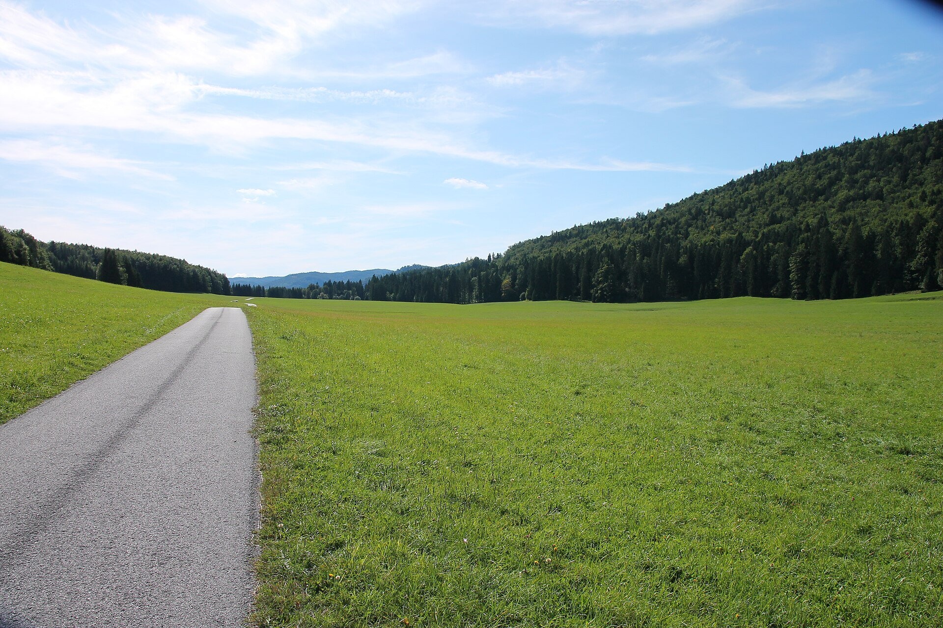
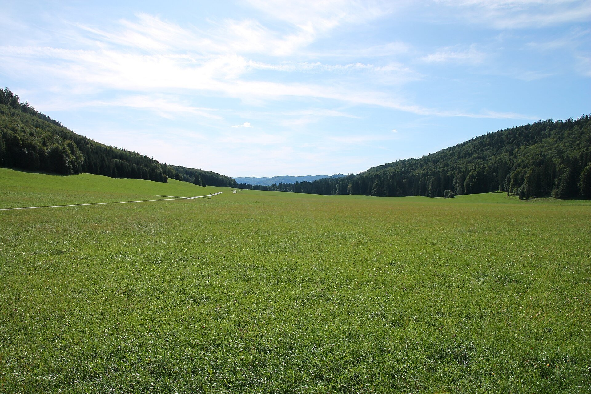
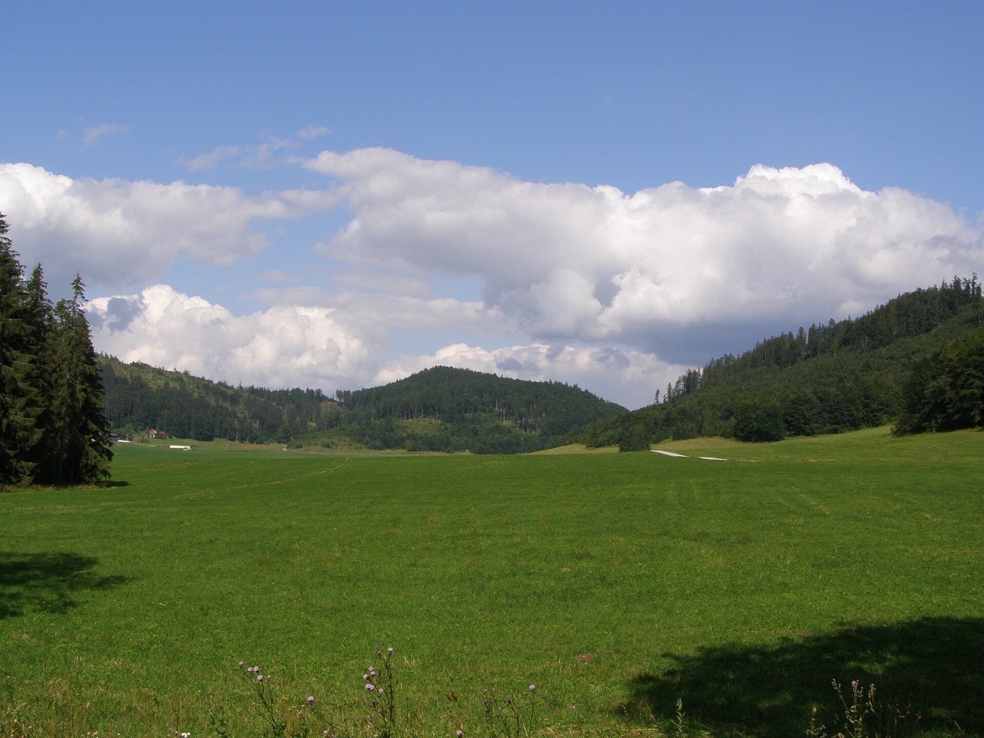
Veľká lúka («the Great Meadow») is a huge mountain meadow on the limestone Muránska planina plateau north of the village of Muráň, in the south-eastern part of the national park of the same name. Flat as a steppe, it lies at about 880–900 m and is used in Slovak geography as an example of a high-lying plain. Fir-beech and spruce forests, which cover about 86 % of the park, surround it. Muránska planina National Park was established on 1 October 1997 on 203 km²; it is a karst plateau with more than 250 caves, sinkholes and karst springs, and among its 35 endemic and sub-endemic plants the best known is the Muráň daphne (Daphne arbuscula), a Tertiary relict that grows only here.
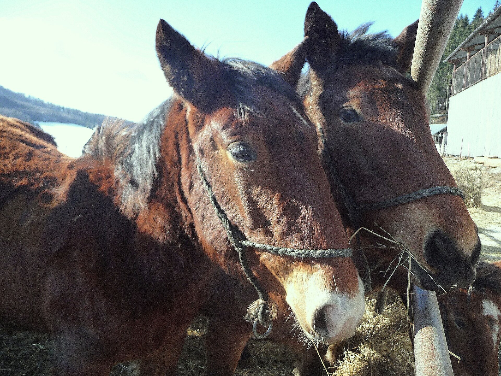
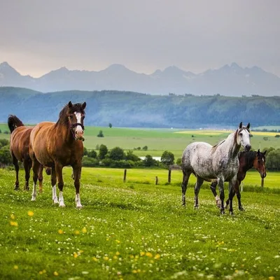
Veľká lúka's hallmark is its horses. It is one of the two stations where the Muráň Noriker (Norik muránsky) – hardy heavy horses used for generations in forestry – is bred in free range; the other is in Dobšiná. Breeding on the plateau began in 1950, mainly for hauling timber. Since 2023 it has been run by the state enterprise Národný žrebčín Topoľčianky (National Stud Topoľčianky) under an agreement with the park administration: the horses graze the meadows and so maintain valuable non-forest habitats, while the farmstead at Veľká lúka is used for breeding. During the Slovak National Uprising of 1944 the meadow served as a reserve airfield: obsolete military equipment was placed here to draw Luftwaffe raids away from the Tri Duby airfield.
What to see and do
- Horse herds – semi-wild Norikers graze on the open meadow; watch from a distance, do not feed them and do not enter the paddocks.
- «Wild West» scenery – the long, flat meadow framed by wooded hills is especially beautiful in summer and early autumn.
- Ródeo Muráň – an equestrian festival held every year at Veľká lúka.
- Walk to Muráň Castle – from the Piesky junction at the edge of the meadow a blue trail leads to the cottage below the castle in about 30 min; the ruins at 935 m are a short way above.
- In winter the marked «Veľká Lúka okruh» cross-country ski loop crosses the meadow.
Getting there
The nearest villages are Muráň (8 km from Revúca) and Muránska Huta. A convenient route is described by the regional tourism organisation Gemer: from the bus stop above Muránska Huta by the Bobačka waterfall, follow the red trail – the Rudná magistrála: Kadak – Stolica – for half an hour of climbing (about 200 m) to an asphalt road, turn left and after 1 km you are on Veľká lúka; across it lies the Piesky junction. From there you can take the blue trail to Muráň Castle and descend on the yellow one through the Šiance reserve to the Predná Hora saddle and Muráň – a half-day loop. From Muráň the red trail climbs 555 m in 80–100 min. An asphalt road leads onto the plateau, but cars may drive to the forest cottages on the plateau only with a permit. The walk across the meadow is easy and flat, suitable for families with children; the climb to the plateau is short but noticeable.
Season and safety
The best time is May to October; in winter the plateau is snowy and used for cross-country skiing. There is no entry ticket to the national park (as of October 2026). Remember that the horses are not an attraction: do not approach foals, do not feed the animals and do not leave gates open. Water is scarce on the karst plateau – carry enough. Stay on marked trails; bears live in the park. Mountain Rescue Service HZS: 18 300 or 112.
Nearby
Above the village of Muráň stand the ruins of Muráň Castle, one of the highest-lying castles in Slovakia; near Muránska Huta is the Bobačka (Hutnícky) waterfall. Along the plateau runs the Červená Skala – Sedlo Dielik trail.
Photos: Draceane, CC BY-SA 4.0, Wikimedia Commons; Daniel Baránek, CC BY-SA 3.0, Wikimedia Commons; I would appreciate being notified if you use my work outside Wikimedia. Do..., CC BY-SA 3.0, Wikimedia Commons.
Getting there from Ukraine
Border crossings
- Uzhhorod – Vyšné Nemecké — road, 24/7
- Malyi Bereznyi – Ubľa — road, 24/7 For cars and buses; pedestrians not confirmed by the Ukrainian border service, lorries up to 3.5 t.
- Mali Selmentsi – Veľké Slemence (pedestrian) — pedestrian, 09:00–21:00 Kyiv time Pedestrians and cyclists only; inconvenient for the Tatras without onward transport.
- Chop – Čierna nad Tisou (rail) — rail, 24/7
By car
From Uzhhorod to Brezno ≈274 km, ≈3 h 50 min without queues: Uzhhorod – Vyšné Nemecké → I/19 to Košice → D1 via Prešov and Poprad to the exit near Liptovský Hrádok → I/18 and I/72 over the Čertovica Pass to Brezno. To Banská Bystrica ≈322 km, ≈4 h 30 min: D1 to Ružomberok, then I/59 via Donovaly. From Lviv: to Brezno via Uzhok and Ubľa ≈498 km (≈7 h 45 min) or through Poland ≈554 km (≈7 h 05 min); to Banská Bystrica through Poland (Kraków – Chyżne – Trstená – Dolný Kubín – Ružomberok) ≈535 km, ≈7 h 15 min. The D1 requires an e-vignette (eznamka.sk).
Checked 23.10.2026; border crossing hours and timetables change — check before you travel.
Location on the map
Water and shelter nearby
- Zámok pod Muránskym hradom Hut1.8 km · Not verified · 825 m
- Spring below Cigánka2 km · Not verified · 851 m
- Spring below Nižná Skalka (south slope)2.2 km · Not verified · 723 m
- Hut below Prostredný vrch (north-west slope)2.2 km · Not verified · 882 m
- Spring under the Castle2.2 km · Not verified · 434 m
- Spring below Lopušná Spring2.5 km · Not verified · 1 057 m
- Spring below Nižná Skalka (east slope)2.8 km · Not verified · 765 m
Comments
Trails nearby
All trails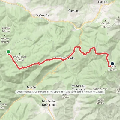 HardTwo-dayMarkedRudná magistrála: Kadak StolicaElevation profile706–1 479 m23.5 kmascent 833 m≈ 7.5 h walkingunder 1 km from Veľká lúka on Muránska planina
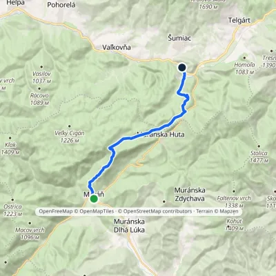 ModerateOne-dayMarkedČervená Skala Sedlo DielikElevation profile393–990 m15.3 kmascent 682 m≈ 5 h walkingunder 1 km from Veľká lúka on Muránska planina
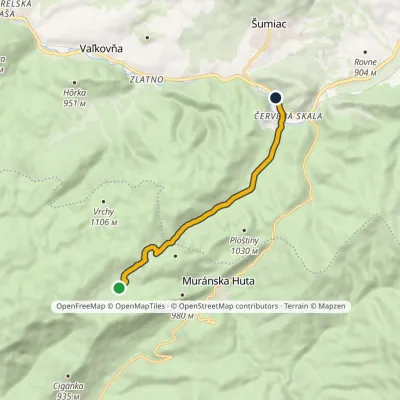 EasyOne-dayMarkedČervená Skala ŠindliarkaElevation profile790–987 m7.8 kmascent 103 m≈ 2 h walkingunder 1 km from Veľká lúka on Muránska planina
Nearby attractions
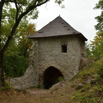 CastleMuráň Castle2.2 km from Veľká lúka on Muránska planinaMuráň Castle (Muránsky hrad, officially Muráň) is the ruin of a medieval castle on the summit of Cigánka (935 m) at the southern edge of the Muránska planina plateau,...
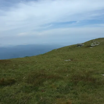 Mountain meadowKráľova hoľa — mountain meadows of the Low Tatrasaltitude 1 946 m13 km from Veľká lúka on Muránska planinaKráľova hoľa (1,946 m) is a broad, treeless «hoľa» — a mountain meadow above the tree line — at the eastern end of the main ridge of the Low Tatras.
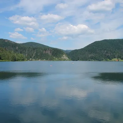 LakePalcmanská Maša reservoir25 km from Veľká lúka on Muránska planinaPalcmanská Maša is the largest reservoir in the Slovak Paradise. It lies on the upper course of the Hnilec river, in a basin-like widening of the valley below the...
Craft nearby
All craft places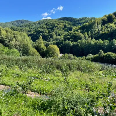 Eco farmsČučoriedková záhrada: pick-your-own blueberries and aronia juice15 km from Veľká lúka on Muránska planinaHere in 2010 the owners’ family planted the first Canadian blueberry bushes on a small plot — and gradually grew them into the Čučoriedková záhrada (Blueberry Garden).
 Cheese dairies & pasturesSalaš Zbojská: sheep’s cheese, bryndza and žinčica on the pass16 km from Veľká lúka on Muránska planinaThe Zbojská pass lies at about 740 metres in the forests between Brezno and Tisovec, on the edge of the Hron valley and the Muránska planina plateau.
 Horse ridingRanč u Trapera, Podlesok: Horse Rides in the Slovak Paradise30 km from Veľká lúka on Muránska planinaA little away from the main tourist bustle, below the forest, stands the family-run Ranč u Trapera, run by the Salaj family.
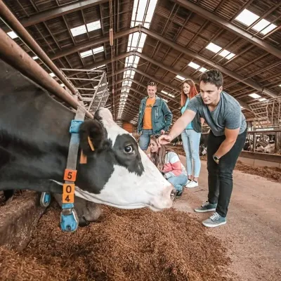 Eco farmsFarma Východná — organic farm below the Tatras35 km from Veľká lúka on Muránska planinaFarma Východná is the highest-lying organic farm in Liptov, at 930 m in the village of Východná right below the Tatras.
 Craft beer & breweriesMinipivovar TATRAS, Poprad35 km from Veľká lúka on Muránska planinaMinipivovar TATRAS is a brewpub on Poprad’s main square, Námestie sv. Egídia, housed in a building with a long brewing history.
 Water parks & thermal poolsAquaCity Poprad water park36 km from Veľká lúka on Muránska planinaAquaCity Poprad is a large year-round water park and wellness complex in the town of Poprad, a few minutes from the centre; according to the complex, the High Tatras...
