Pohorelá
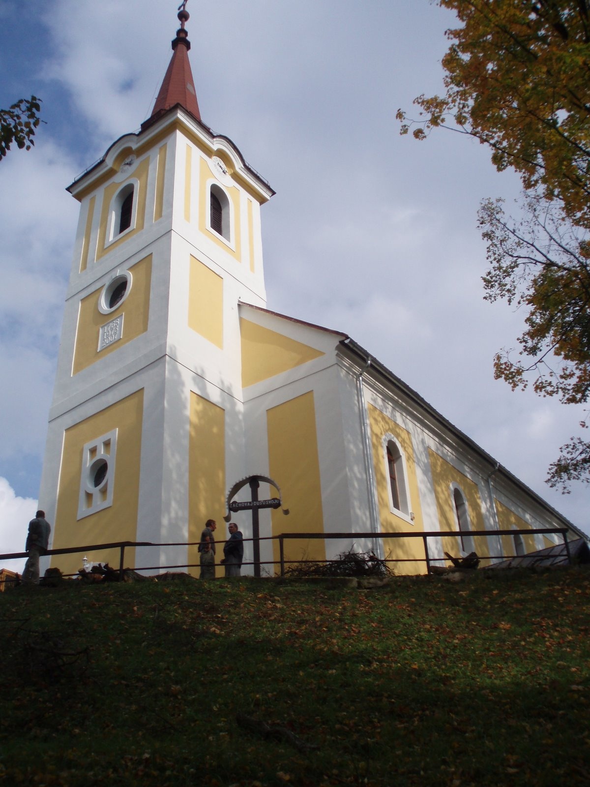
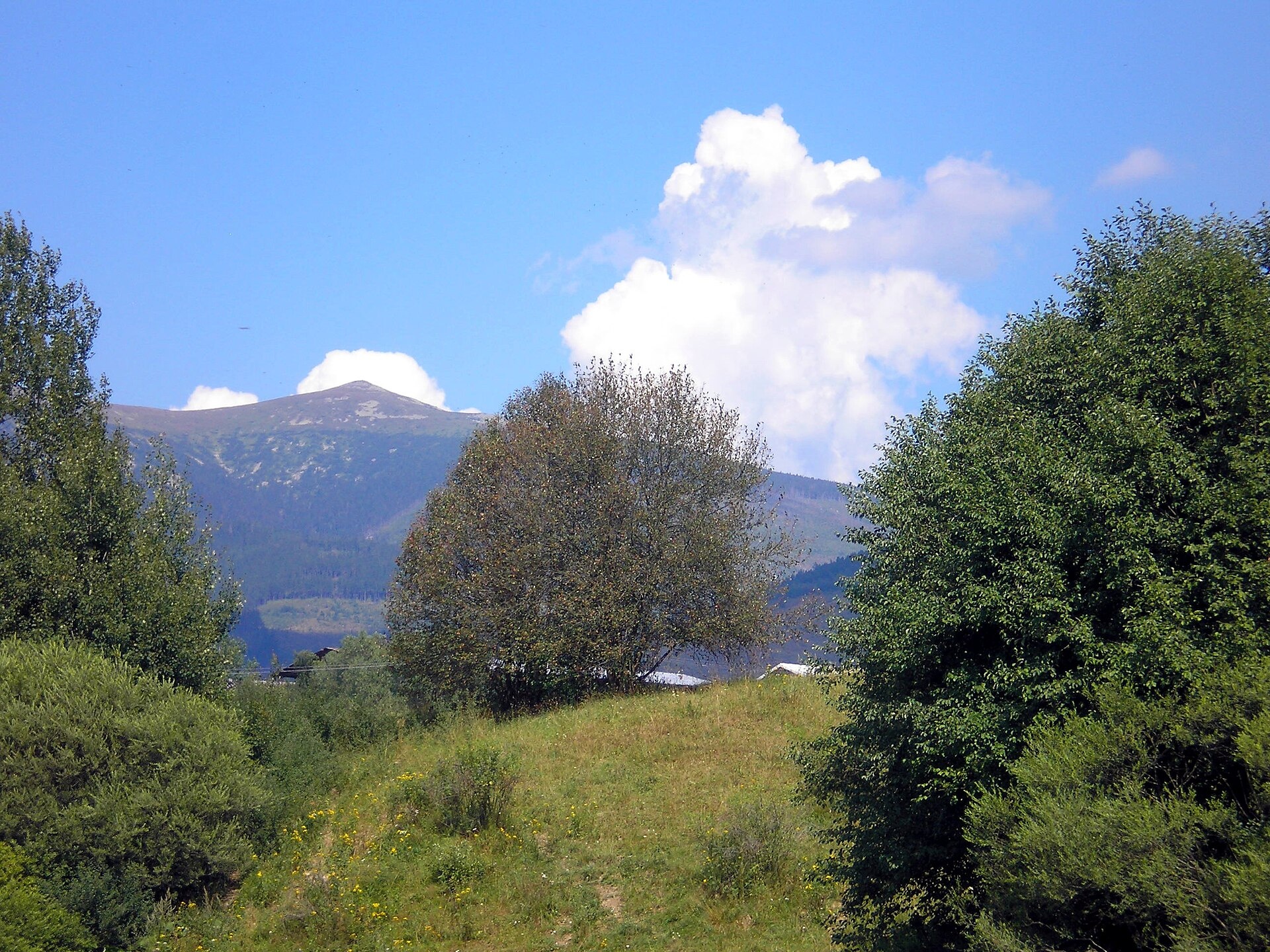
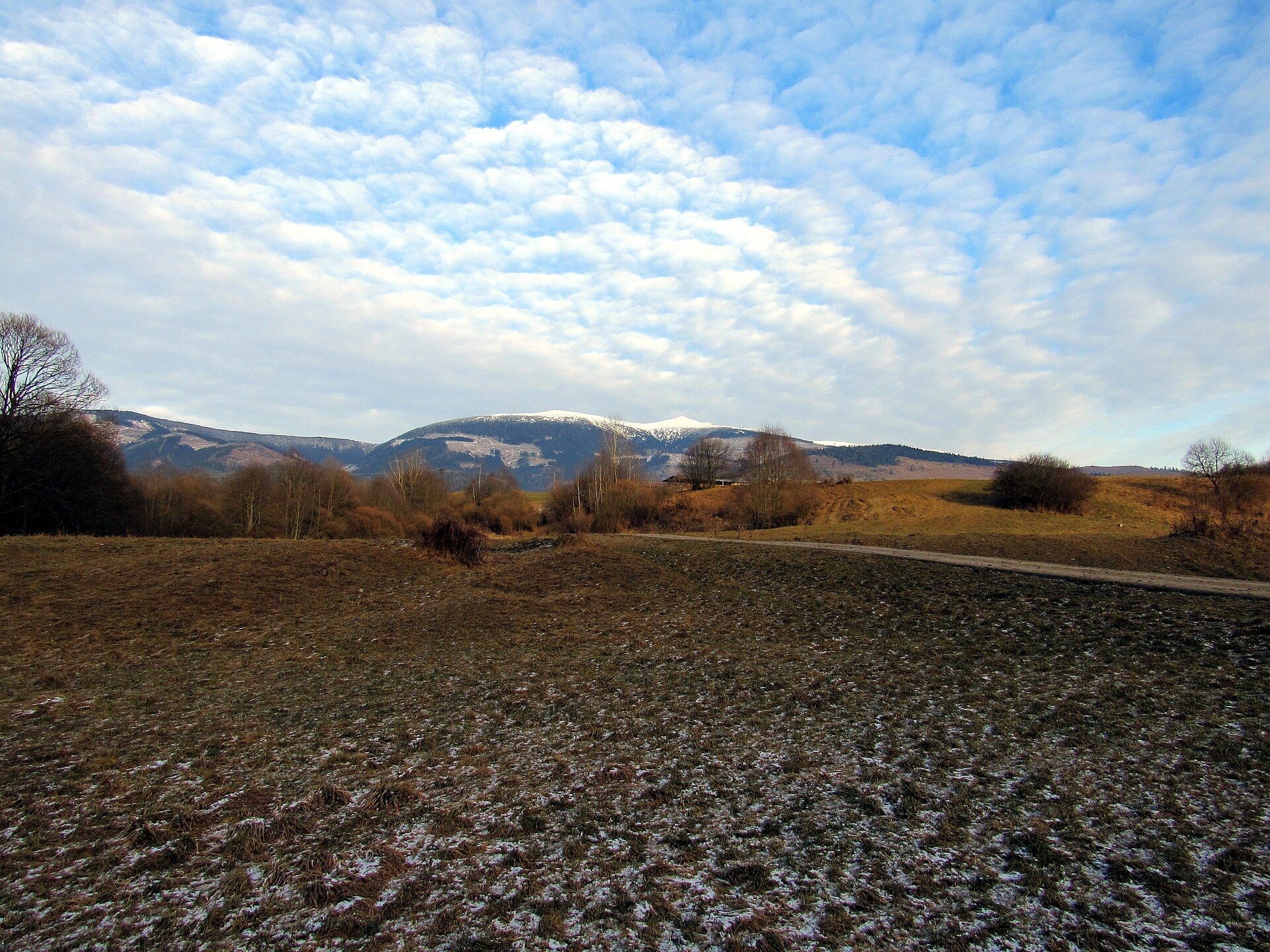
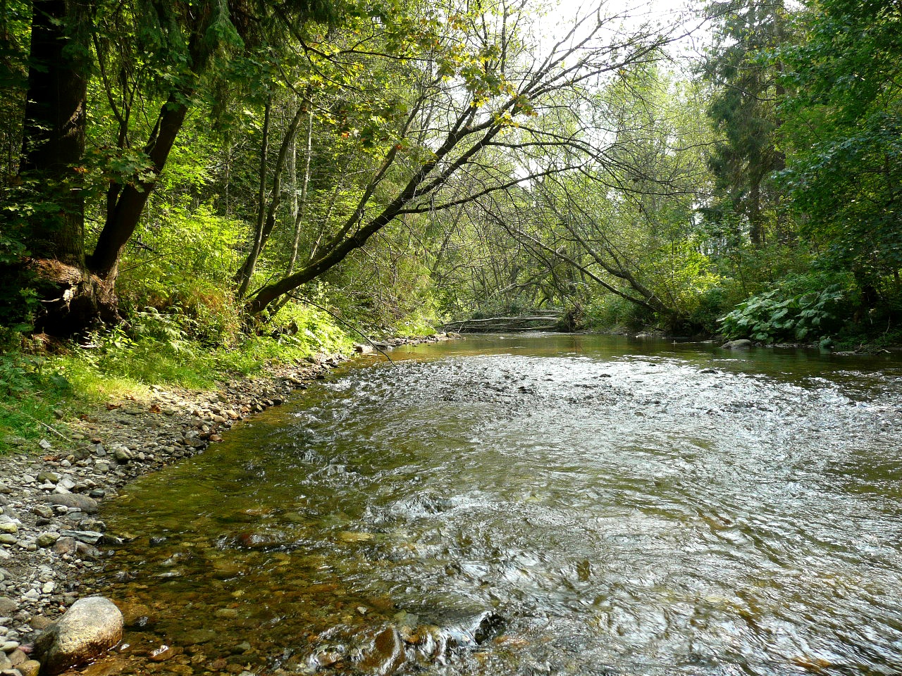
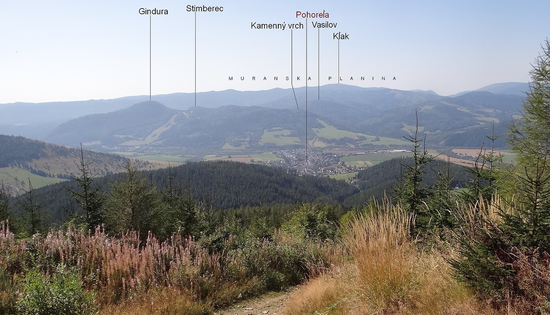
Photos: rasto16901, CC BY 3.0 (Wikimedia Commons); Janobb, CC BY 3.0 (Wikimedia Commons); Janobb, CC BY 3.0 (Wikimedia Commons); Jacquesverlaeken, CC BY-SA 3.0 (Wikimedia Commons); Jerzy Opioła, CC BY-SA 4.0 (Wikimedia Commons); Jerzy Opioła, CC BY-SA 4.0 (Wikimedia Commons)
Pohorelá is a village in the Brezno District of the Banská Bystrica Region, Slovakia, located on the right bank of the upper Hron River at the foothills of the Low Tatras. The village sits at an elevation of 724 metres above sea level, in the heart of the Horehronie ethnographic region. To the left of the Hron, the Vepor Mountains rise steeply, forming part of the Slovak Ore Mountains and the Muránska Planina National Park. Notable nearby landmarks include the Ždiar Saddle, Orlová Peak, Andrejcová Hill, Mašianske skalky nature reserve, and the Pohorelá uplands.
The village was founded at the beginning of the seventeenth century under the Vlach law, on the estate of Muráň Castle. The earliest written mention of Pohorelá dates to 1612. The original inhabitants were engaged in shepherding and forestry. In the eighteenth century, iron ore mining and ironworks were established, making Pohorelá an important industrial centre in the region. During the Slovak National Uprising, partisan groups were active nearby, and the village was liberated by the Romanian Army in January 1945.
Pohorelá is known for its natural beauty, traditional Horehronie culture, and Goral heritage. The village lies within the protection zone of the Low Tatras National Park and close to Muránska Planina National Park. Mineral water springs are found at the upper end of the village, and the Roman Catholic church, built in 1762, is a local landmark. Pohorelá also hosts the annual World Scything Championship.
Visitors to Pohorelá and its surroundings can explore over twenty marked hiking trails, such as "Pohorelá, station – Andrejcová shelter", "Sedlo Priehyba – Ipoltica Valley, mouth", and "Závadka nad Hronom, station – Sedlo Oravcová". Hiking enthusiasts can ascend Kráľova hoľa, one of the most notable peaks of the Low Tatras, and visit the Kráľova hoľa mountain meadows. Accommodation is available at the "Chata pod Kráľovou hoľou".
Getting there from Ukraine
From Uzhhorod to Brezno ≈274 km, ≈3 h 50 min without queues: Uzhhorod – Vyšné Nemecké → I/19 to Košice → D1 via Prešov and Poprad to the exit near Liptovský Hrádok → I/18 and I/72 over the Čertovica Pass to Brezno. To Banská Bystrica ≈322 km, ≈4 h 30 min: D1 to Ružomberok, then I/59 via Donovaly. From Lviv: to Brezno via Uzhok and Ubľa ≈498 km (≈7 h 45 min) or through Poland ≈554 km (≈7 h 05 min); to Banská Bystrica through Poland (Kraków – Chyżne – Trstená – Dolný Kubín – Ružomberok) ≈535 km, ≈7 h 15 min. The D1 requires an e-vignette (eznamka.sk).
Sources: Wikipedia, Wikidata, OpenStreetMap, Karpaty.rocks data. More on Wikipedia
Trails nearby
All trails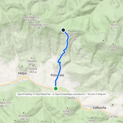 EasyOne-dayMarkedPohorelá, station Útulňa AndrejcováElevation profile678–1 424 m6.5 kmascent 745 m≈ 3 h walkingunder 1 km from the centre
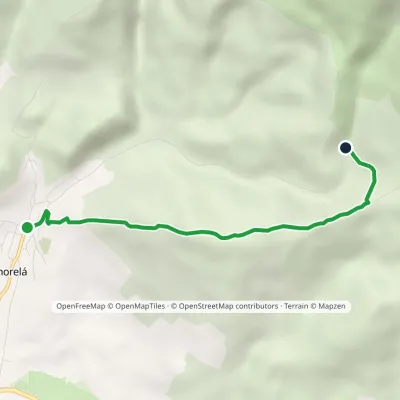 EasyOne-dayMarkedPohorelá Na ohradeElevation profile751–1 143 m4.4 kmascent 389 m≈ 2 h walkingunder 1 km from the centre
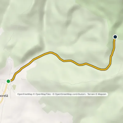 EasyOne-dayMarkedPohorelá Waterfall under OrlováElevation profile751–1 182 m4.4 kmascent 430 m≈ 2 h walkingunder 1 km from the centre
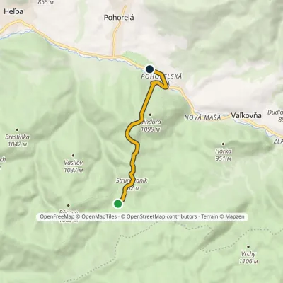 EasyOne-dayMarkedPohorelská Maša, station Horáreň LapinkaElevation profile686–985 m5.9 kmascent 166 m≈ 2 h walking1.7 km from the centre
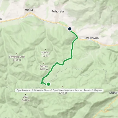 EasyOne-dayMarkedPohorelská Maša Well on Muránska PlaninaElevation profile693–1 245 m10.3 kmascent 133 m≈ 3 h walking2.2 km from the centre
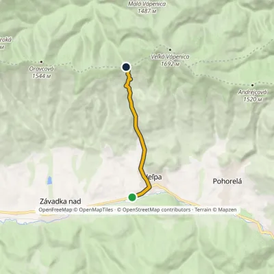 EasyOne-dayMarkedHeľpa, station PriehybaElevation profile636–1 190 m6.7 kmascent 553 m≈ 3 h walking3.4 km from the centre
Peaks nearby
All peaks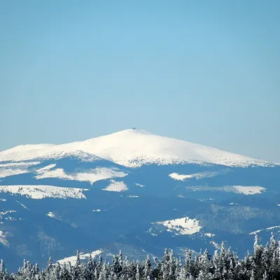 PeakKráľova hoľaŠumiacaltitude 1 946 m9.1 km from the centreKráľova hoľa (German Königsberg, Hungarian Király-hegy – “King's Mountain”) is a 1,946 m summit, the highest in the eastern part of the Low Tatras, which are called...
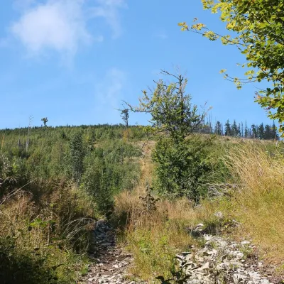 PeakFabova hoľaPohronská Polhoraaltitude 1 439 m14 km from the centreFabova hoľa (Polish Fabowa Hala) is the highest summit of the Vepor Mountains (1439 m), part of the Slovak Ore Mountains.
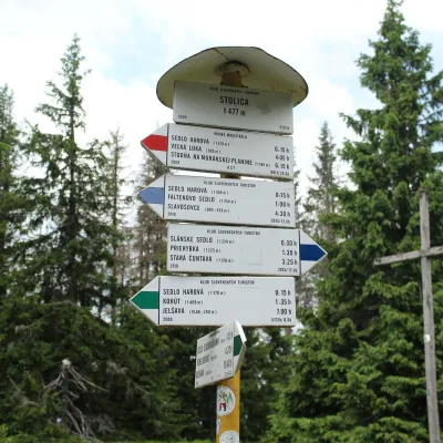 PeakStolicaMuránska Zdychavaaltitude 1 476 m17 km from the centreStolica (Hungarian Sztolica) is the highest peak of the Stolické vrchy and of the entire Slovak Ore Mountains at 1,476 m.
What to visit
All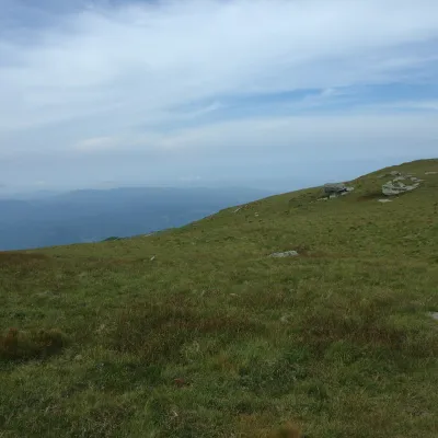 Mountain meadowKráľova hoľa — mountain meadows of the Low TatrasŠumiacaltitude 1 946 m9.1 km from the centreKráľova hoľa (1,946 m) is a broad, treeless «hoľa» — a mountain meadow above the tree line — at the eastern end of the main ridge of the Low Tatras.
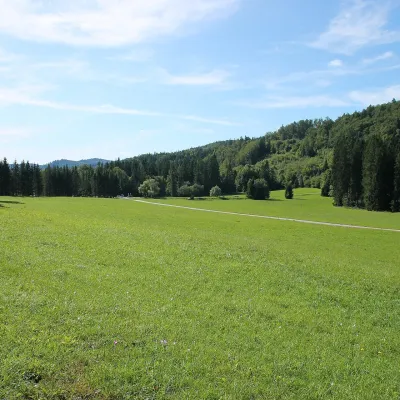 Mountain meadowVeľká lúka on Muránska planinaMuráňaltitude 887 m10 km from the centreVeľká lúka («the Great Meadow») is a huge mountain meadow on the limestone Muránska planina plateau north of the village of Muráň, in the south-eastern part of the...
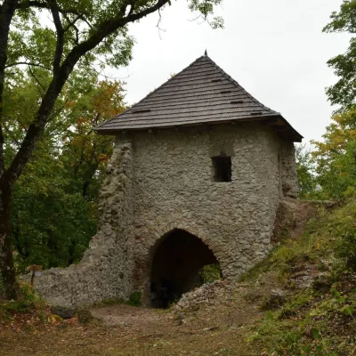 CastleMuráň CastleMuráň12 km from the centreMuráň Castle (Muránsky hrad, officially Muráň) is the ruin of a medieval castle on the summit of Cigánka (935 m) at the southern edge of the Muránska planina plateau,...
 Cheese dairies & pasturesSalaš Zbojská: sheep’s cheese, bryndza and žinčica on the passTisovec18 km from the centreThe Zbojská pass lies at about 740 metres in the forests between Brezno and Tisovec, on the edge of the Hron valley and the Muránska planina plateau.
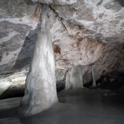 NatureDobšinská Ice CaveDobšiná21 km from the centreDobšinská Ice Cave (Dobšinská ľadová jaskyňa) is one of the most important ice caves in the world. Since 2000 it has been on the UNESCO World Natural Heritage list.
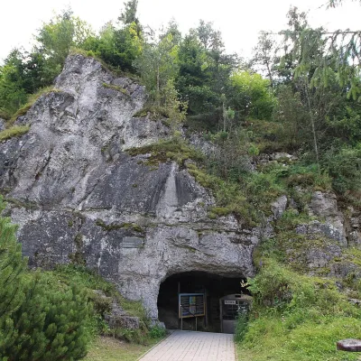 NatureVažecká CaveVažec22 km from the centreVažecká Cave (Važecká jaskyňa) is one of the best-known caves in northern Slovakia, even though it is among the shortest show caves.
Craft nearby
All craft places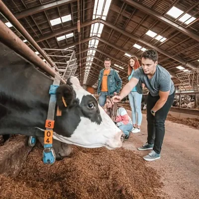 Eco farmsFarma Východná — organic farm below the TatrasVýchodná24 km from the centreFarma Východná is the highest-lying organic farm in Liptov, at 930 m in the village of Východná right below the Tatras.
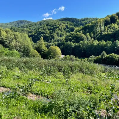 Eco farmsČučoriedková záhrada: pick-your-own blueberries and aronia juiceRatkovské Bystré25 km from the centreHere in 2010 the owners’ family planted the first Canadian blueberry bushes on a small plot — and gradually grew them into the Čučoriedková záhrada (Blueberry Garden).
 Horse ridingKone vo Východnej: horse rides below the TatrasVýchodná26 km from the centreKone vo Východnej (“Horses in Východná”) is a small family horse farm on the meadows above the village of Východná in upper Liptov, with a sweeping view of the High...
Huts, shelters and springs nearby
Getting there from Ukraine
Border crossings
- Uzhhorod – Vyšné Nemecké — road, 24/7
- Malyi Bereznyi – Ubľa — road, 24/7 For cars and buses; pedestrians not confirmed by the Ukrainian border service, lorries up to 3.5 t.
- Mali Selmentsi – Veľké Slemence (pedestrian) — pedestrian, 09:00–21:00 Kyiv time Pedestrians and cyclists only; inconvenient for the Tatras without onward transport.
- Chop – Čierna nad Tisou (rail) — rail, 24/7
By car
From Uzhhorod to Brezno ≈274 km, ≈3 h 50 min without queues: Uzhhorod – Vyšné Nemecké → I/19 to Košice → D1 via Prešov and Poprad to the exit near Liptovský Hrádok → I/18 and I/72 over the Čertovica Pass to Brezno. To Banská Bystrica ≈322 km, ≈4 h 30 min: D1 to Ružomberok, then I/59 via Donovaly. From Lviv: to Brezno via Uzhok and Ubľa ≈498 km (≈7 h 45 min) or through Poland ≈554 km (≈7 h 05 min); to Banská Bystrica through Poland (Kraków – Chyżne – Trstená – Dolný Kubín – Ružomberok) ≈535 km, ≈7 h 15 min. The D1 requires an e-vignette (eznamka.sk).
Checked 23.10.2026; border crossing hours and timetables change — check before you travel.
