Fabova hoľa
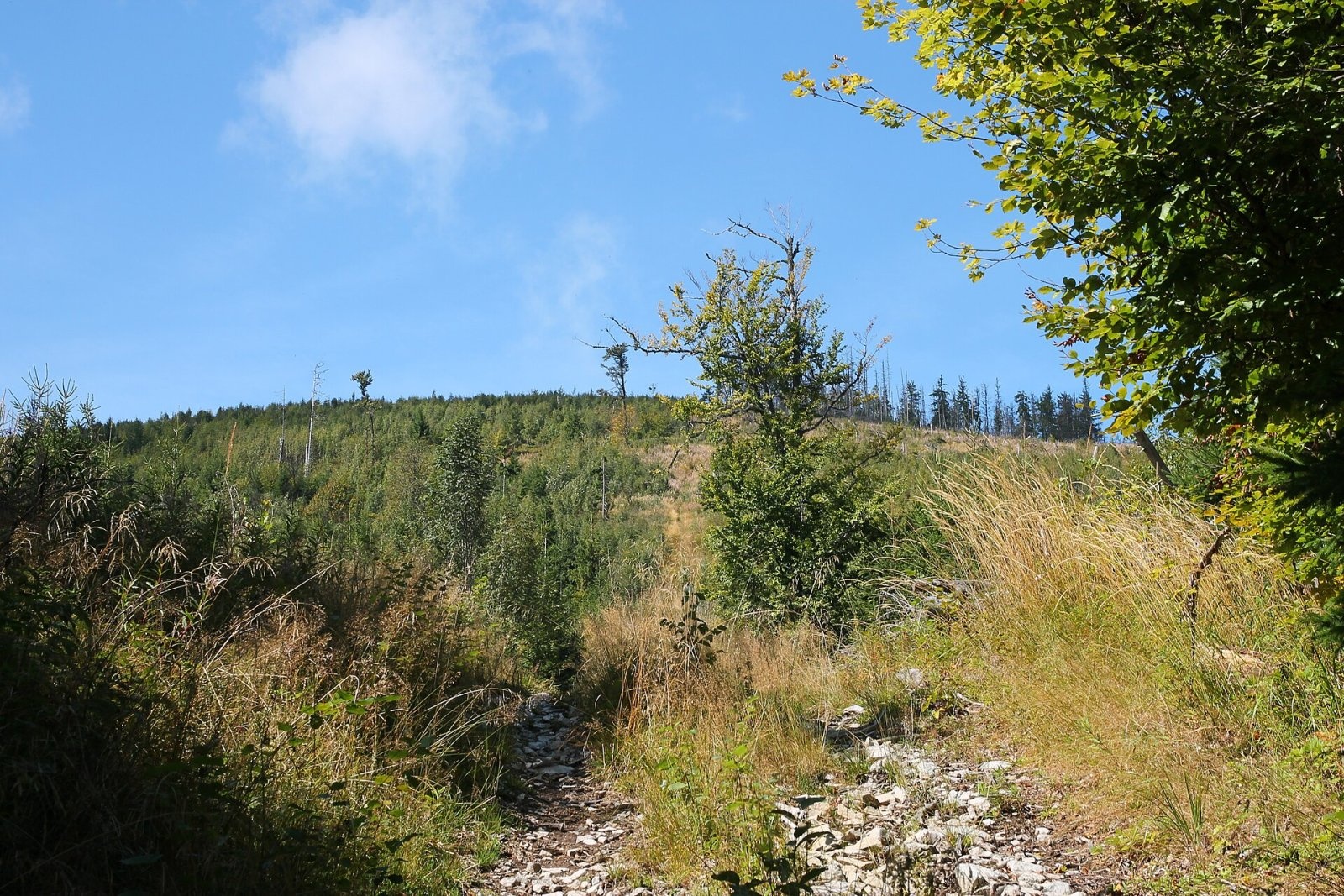
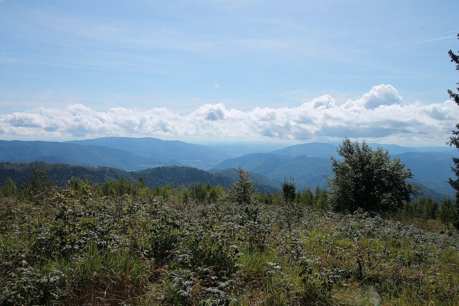
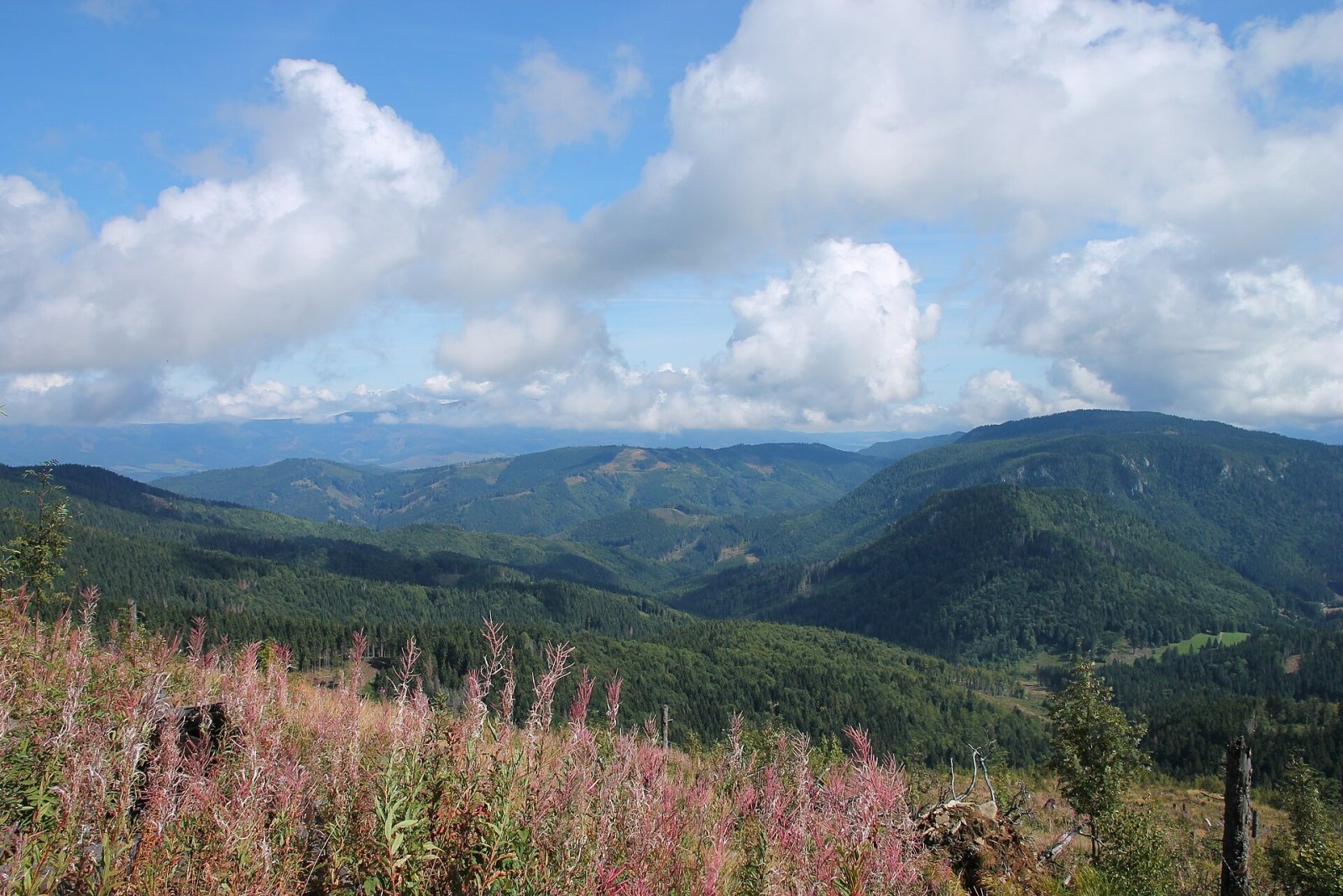
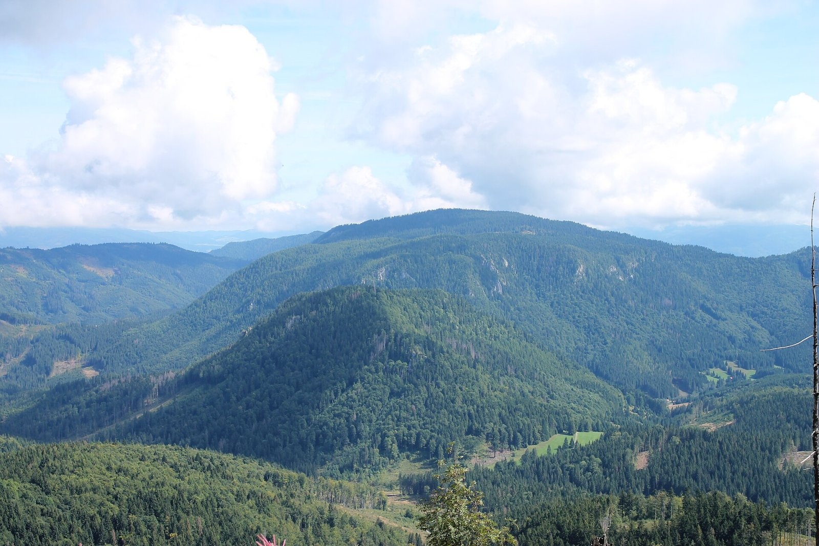
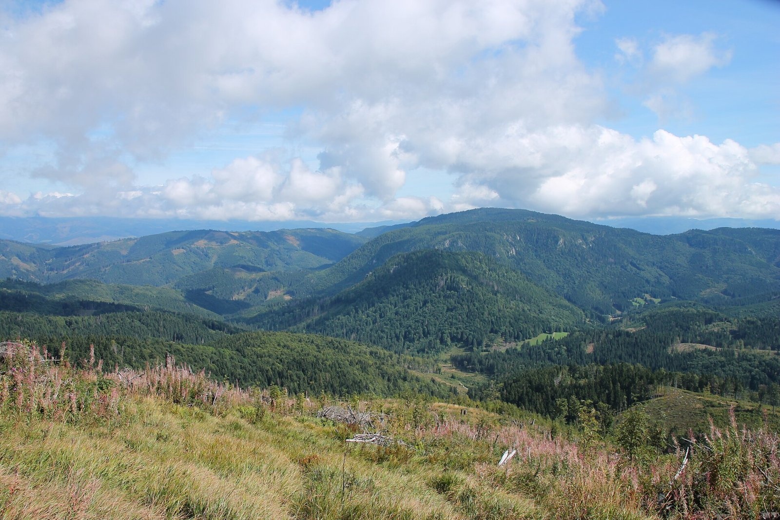
Fabova hoľa (Polish Fabowa Hala) is the highest summit of the Vepor Mountains (1439 m), part of the Slovak Ore Mountains. It rises above the village of Pohronská Polhora, about 16 km east of the town of Brezno, and closes the Hron valley from the south. The border between the Brezno and Revúca districts of the Banská Bystrica Region runs over the top, and the slopes belong to the municipalities of Polomka, Pohronská Polhora, Muráň and Tisovec. The massif is broad and wooded; the southern fore-summit, Tri kopce, lies right on the main watershed ridge, with the main summit about 500 m north-west of it. The whole mountain is part of Muránska planina National Park.
Getting there / routes
The Tri kopce junction just below the summit is an important trail hub. The red long-distance Ore Trail (Rudná magistrála) passes through it, and several other routes lead to the top. Times according to Polish sources:
- Red (Rudná magistrála): from the railway stop below sedlo Zbojská about 2 h 25 min; from sedlo Burda about 1 h 20 min.
- Blue: from the west from Pohronská Polhora about 2 h 45 min.
- Green: from the north from Polomka up Petríkova dolina about 3 h 25 min; from the south from Tisovec via sedlo Burda.
- From sedlo Burda via Kučalach about 2 h.
At sedlo Burda the log cabin Zrub Burda was reopened in 2015 and also serves as a hikers’ shelter.
What you can see from the summit
Until the early 21st century the summit was completely covered with dense spruce forest, and views opened only from the meadows on the northern slopes — towards the Low Tatras and the High Tatra peaks rising behind them. After a windthrow the top now carries only sparse forest, so the view is all-round: the Vepor Mountains, the Low Tatras, the Spiš-Gemer Karst, the Stolica Mountains and Poľana, often also the High Tatra ridge, the Kremnica Mountains and the hills of northern Hungary.
Nature and history
The name Fabova hoľa probably dates from the 17th–18th centuries, when the massif really was sheep pasture (hoľa). The slopes carry spruce-beech-fir forest; the main conservation value is natural mountain spruce woodland. Small stands of Swiss stone pine and dwarf mountain pine grow here too, and the herb layer includes Carpathian crocus and other protected plants. Bears and wolves live in the area, and capercaillie among the birds. The neighbouring Kučalach massif contains Čertova jaskyňa, a natural monument.
The Fabova hoľa nature reserve, declared in 1980 with more than 260 ha, was abolished on 1 October 2022 and its area was included in the zoning of Muránska planina National Park.
Safety, season and rules
The climbs are long, wooded and lonely in places — carry water and a map, as trails may be blocked by fallen trees after windthrow. Remember that bears and wolves live in the massif: stay on marked trails, do not leave food behind and avoid walking at dusk. In winter the routes call for snowshoes or skis. Walk only on the marked trails of the national park. Slovak Mountain Rescue Service (HZS): 18 300 (+421 18 300), general emergency number 112.
Photos: Draceane, CC BY-SA 4.0; Draceane, CC BY-SA 4.0; Draceane, CC BY-SA 4.0; Draceane, CC BY-SA 4.0; Draceane, CC BY-SA 4.0; Draceane, CC BY-SA 4.0; Daniel Baránek, CC BY-SA 3.0 — Wikimedia Commons.
Getting there from Ukraine
Border crossings
- Uzhhorod – Vyšné Nemecké — road, 24/7
- Malyi Bereznyi – Ubľa — road, 24/7 For cars and buses; pedestrians not confirmed by the Ukrainian border service, lorries up to 3.5 t.
- Mali Selmentsi – Veľké Slemence (pedestrian) — pedestrian, 09:00–21:00 Kyiv time Pedestrians and cyclists only; inconvenient for the Tatras without onward transport.
- Chop – Čierna nad Tisou (rail) — rail, 24/7
By car
From Uzhhorod to Brezno ≈274 km, ≈3 h 50 min without queues: Uzhhorod – Vyšné Nemecké → I/19 to Košice → D1 via Prešov and Poprad to the exit near Liptovský Hrádok → I/18 and I/72 over the Čertovica Pass to Brezno. To Banská Bystrica ≈322 km, ≈4 h 30 min: D1 to Ružomberok, then I/59 via Donovaly. From Lviv: to Brezno via Uzhok and Ubľa ≈498 km (≈7 h 45 min) or through Poland ≈554 km (≈7 h 05 min); to Banská Bystrica through Poland (Kraków – Chyżne – Trstená – Dolný Kubín – Ružomberok) ≈535 km, ≈7 h 15 min. The D1 requires an e-vignette (eznamka.sk).
Checked 23.10.2026; border crossing hours and timetables change — check before you travel.
Location on the map
Water and shelter nearby
- Rohozná Stream Spring550 m · Not verified · 1 260 m
- Rimava Spring930 m · Not verified · 1 275 m
- Spring below Javorinka Pass (east slope), 1 306 m1.2 km · Not verified · 1 306 m
- Spring below Vysoký vrch (north-west slope)1.8 km · Not verified · 1 027 m
- Burda Hut1.8 km · Standing · 1 031 m
- Spring below Kučalach2.6 km · Not verified · 966 m
- Hut on Randavica2.7 km · Not verified · 935 m
- Spring below Psica (south slope)2.8 km · Not verified · 1 073 m
- Spring below Psica (south-west slope)2.8 km · Not verified · 1 203 m
Comments
Trails nearby
All trails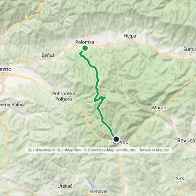 HardTwo-dayMarkedPolomka, station Tisovec, stationvia Fabova hoľaElevation profile422–1 439 m28.4 kmascent 911 m≈ 9 h walkingunder 1 km from Fabova hoľa
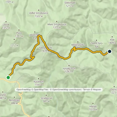 ModerateTwo-dayMarkedZbojská Nižná KľakováElevation profile734–1 439 m15.1 kmascent 1 058 m≈ 6 h walkingunder 1 km from Fabova hoľa
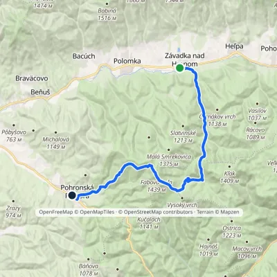 HardTwo-dayMarkedZávadka nad Hronom Pohronská PolhoraElevation profile609–1 439 m25.6 kmascent 884 m≈ 8 h walkingunder 1 km from Fabova hoľa
Nearby attractions
 Cheese dairies & pasturesSalaš Zbojská: sheep’s cheese, bryndza and žinčica on the passTisovec3.9 km from Fabova hoľaThe Zbojská pass lies at about 740 metres in the forests between Brezno and Tisovec, on the edge of the Hron valley and the Muránska planina plateau.
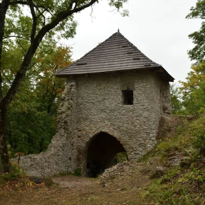 CastleMuráň CastleMuráň13 km from Fabova hoľaMuráň Castle (Muránsky hrad, officially Muráň) is the ruin of a medieval castle on the summit of Cigánka (935 m) at the southern edge of the Muránska planina plateau,...
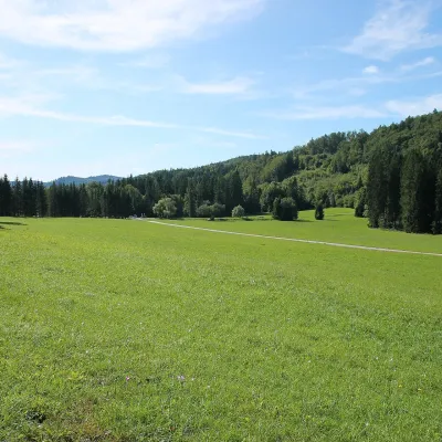 Mountain meadowVeľká lúka on Muránska planinaMuráňaltitude 887 m14 km from Fabova hoľaVeľká lúka («the Great Meadow») is a huge mountain meadow on the limestone Muránska planina plateau north of the village of Muráň, in the south-eastern part of the...
Craft nearby
All craft places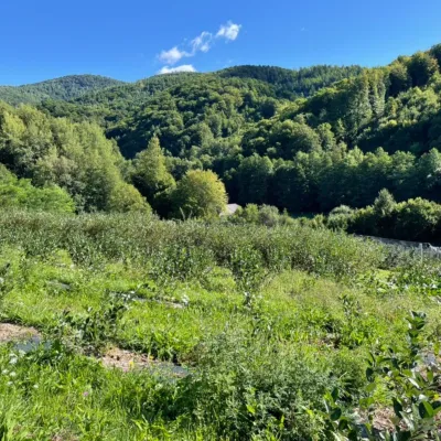 Eco farmsČučoriedková záhrada: pick-your-own blueberries and aronia juiceRatkovské Bystré20 km from Fabova hoľaHere in 2010 the owners’ family planted the first Canadian blueberry bushes on a small plot — and gradually grew them into the Čučoriedková záhrada (Blueberry Garden).
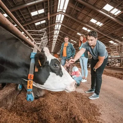 Eco farmsFarma Východná — organic farm below the TatrasVýchodná33 km from Fabova hoľaFarma Východná is the highest-lying organic farm in Liptov, at 930 m in the village of Východná right below the Tatras.
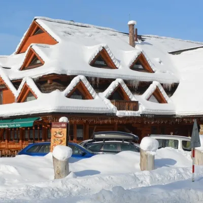 Koliby & Hutsul cuisineKoliba Strachanovka, Jánska valleyLiptovský Ján33 km from Fabova hoľaKoliba Strachanovka (Jánska koliba) is a large wooden koliba at the entrance to the Jánska valley in the village of Liptovský Ján, which locals consider one of the...
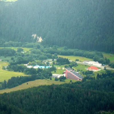 Water parks & thermal poolsTERMAL raj thermal bath, Liptovský JánLiptovský Ján33 km from Fabova hoľaLiptovský Ján: thermal water at the entrance to Jánska dolina Liptovský Ján is an old village in southern Liptov, about 10 km from Liptovský Mikuláš, at the entrance...
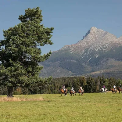 Horse ridingKone vo Východnej: horse rides below the TatrasVýchodná36 km from Fabova hoľaKone vo Východnej (“Horses in Východná”) is a small family horse farm on the meadows above the village of Východná in upper Liptov, with a sweeping view of the High...
 Water parks & thermal poolsBrusno Spa: mineral springs, treatments and Caracalla SpaBrusno36 km from Fabova hoľaBrusno Spa (Kúpele Brusno) lies in the Hron valley (Horehronie), about 20 km north-east of Banská Bystrica, on the northern slopes of the Vepor massif in the Slovak...
