Pohronská Polhora
Photos: Pudelek (Marcin Szala), CC BY-SA 3.0 (Wikimedia Commons); Jan Pešula, CC0 (Wikimedia Commons); Jan Pešula, CC0 (Wikimedia Commons)
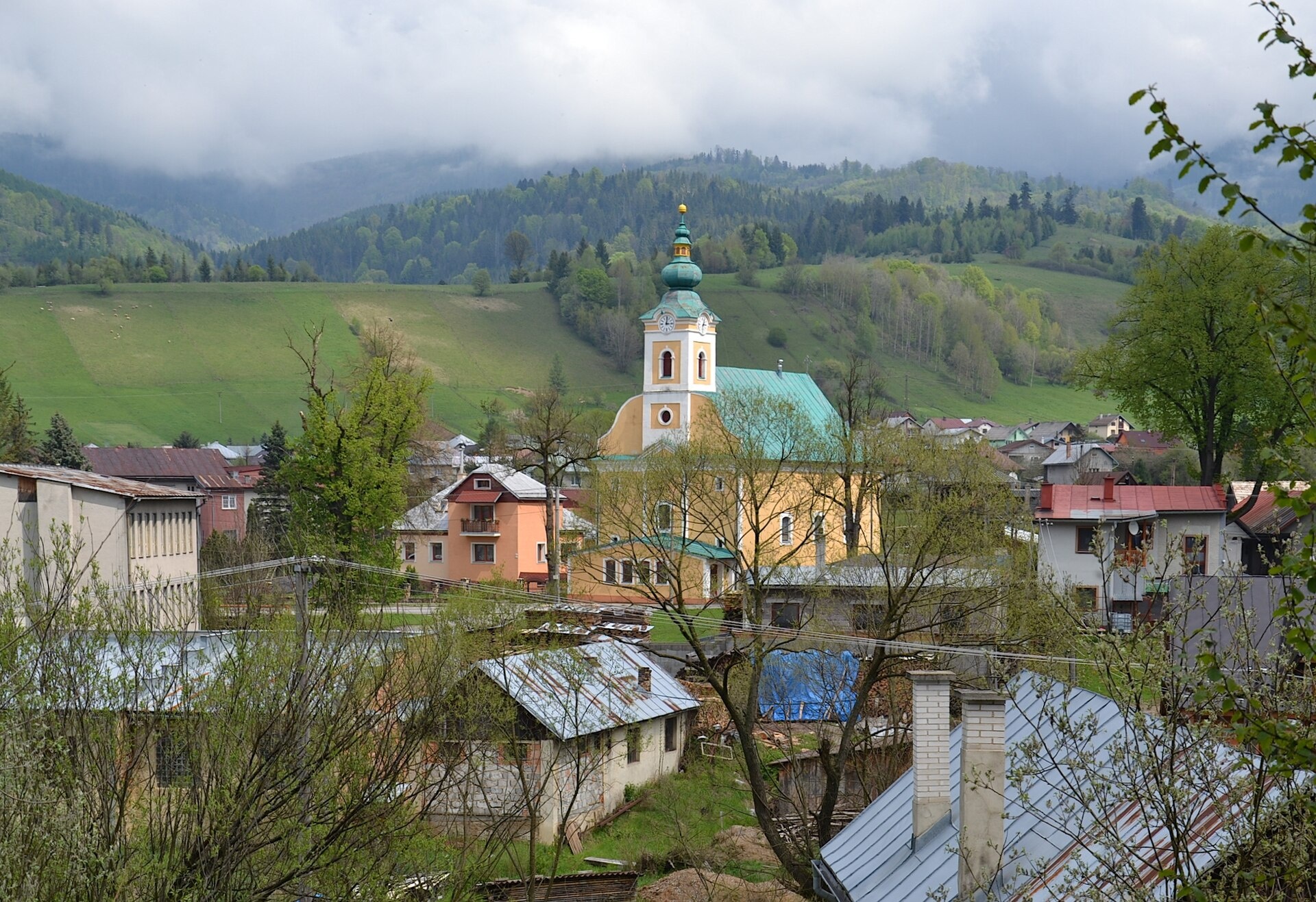
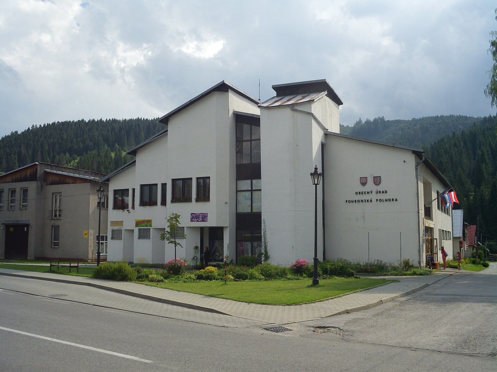
Pohronská Polhora is a village in the Brezno District of the Banská Bystrica Region, Slovakia, situated at an elevation of 619 metres. The settlement lies amid the scenic Slovak Ore Mountains, offering a picturesque mountain setting in central Slovakia. This location combines natural beauty with the traditions of the region.
The first direct mention of Pohronská Polhora dates back to 1786, though the famous outlaw Jakub Surovec was captured here as early as 1740. The village's history is closely tied to the development of mountain communities in this part of Slovakia.
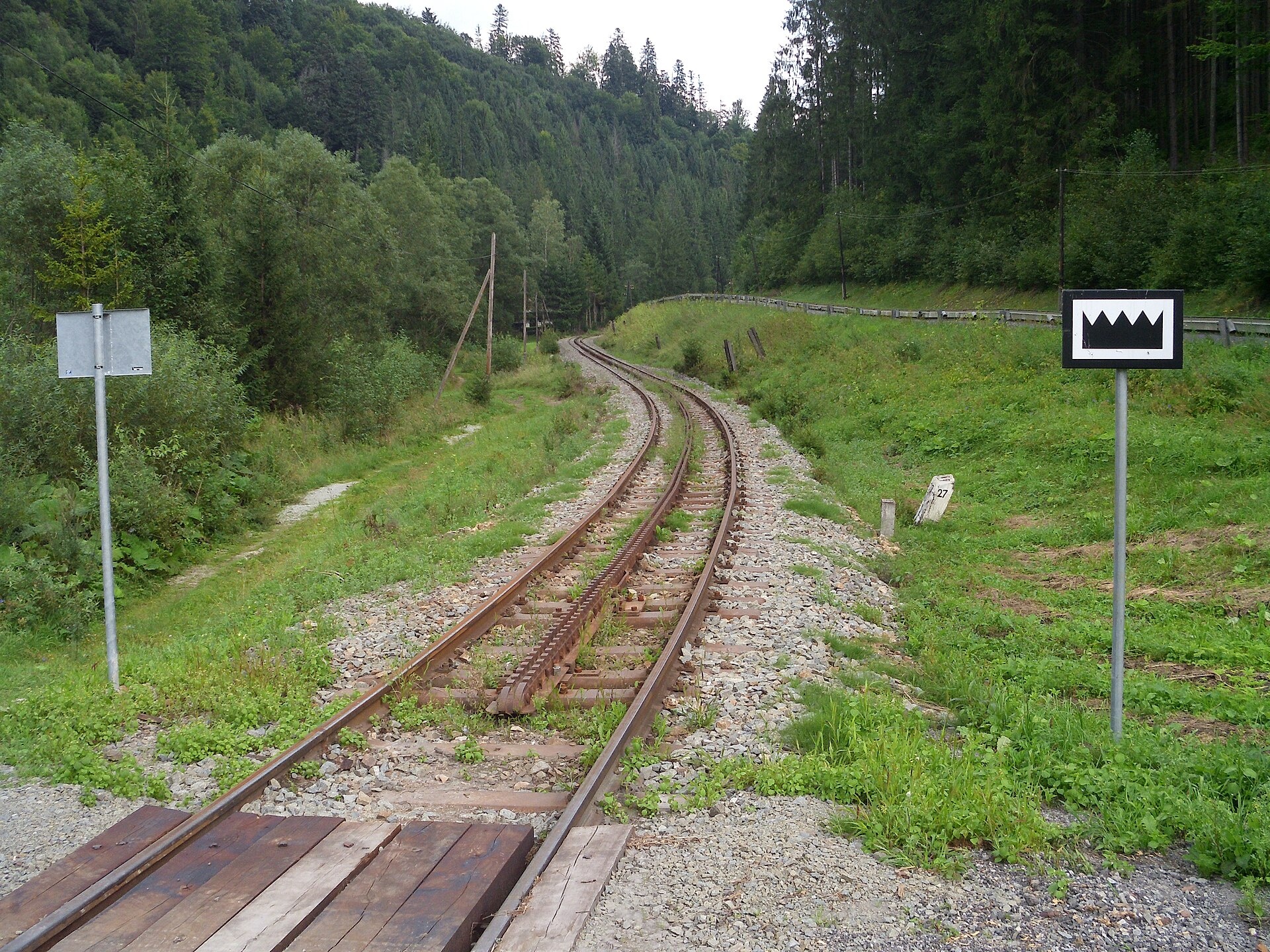
Pohronská Polhora is known for its natural surroundings and cultural heritage. The nearby Klenovský Vepor peak is a notable feature of the Slovak Ore Mountains. Sights such as the Čierny Hron Forest Railway and the Vydrovo Forest Open-Air Museum introduce visitors to the area's history and environment. The village is also characterized by a diverse mix of ethnic groups and religious traditions, shaping its unique atmosphere.
Visitors will find Pohronská Polhora an excellent base for outdoor activities. Numerous hiking trails start or pass through here, including "Báňová – Pohronská Polhora" and "Závadka nad Hronom – Pohronská Polhora". Nature lovers can hike up Klenovský Vepor or visit the Čierny Hron Forest Railway and Vydrovo Open-Air Museum. The village is ideal for walking, exploring local culture, and discovering mountain landscapes.
Getting there from Ukraine
From Uzhhorod to Brezno ≈274 km, ≈3 h 50 min without queues: Uzhhorod – Vyšné Nemecké → I/19 to Košice → D1 via Prešov and Poprad to the exit near Liptovský Hrádok → I/18 and I/72 over the Čertovica Pass to Brezno. To Banská Bystrica ≈322 km, ≈4 h 30 min: D1 to Ružomberok, then I/59 via Donovaly. From Lviv: to Brezno via Uzhok and Ubľa ≈498 km (≈7 h 45 min) or through Poland ≈554 km (≈7 h 05 min); to Banská Bystrica through Poland (Kraków – Chyżne – Trstená – Dolný Kubín – Ružomberok) ≈535 km, ≈7 h 15 min. The D1 requires an e-vignette (eznamka.sk).
Sources: Wikipedia, Wikidata, OpenStreetMap, Karpaty.rocks data. More on Wikipedia
Trails nearby
All trails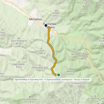 EasyOne-dayMarkedBáňova Pohronská PolhoraElevation profile613–1 046 m6.7 kmascent 137 m≈ 2 h walkingunder 1 km from the centre
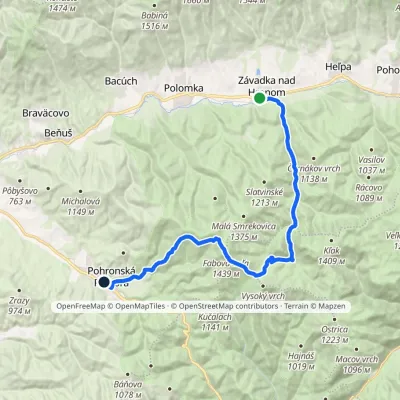 HardTwo-dayMarkedZávadka nad Hronom Pohronská PolhoraElevation profile609–1 439 m25.6 kmascent 884 m≈ 8 h walkingunder 1 km from the centre
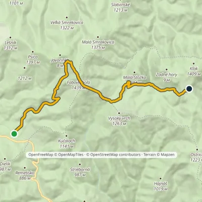 ModerateTwo-dayMarkedZbojská Nižná KľakováElevation profile734–1 439 m15.1 kmascent 1 058 m≈ 6 h walking3.2 km from the centre
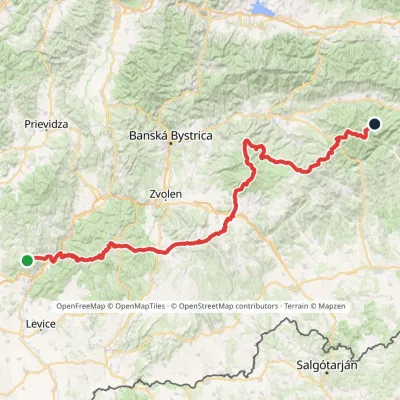 HardMulti-dayMarkedRudná magistrála: Veľký Inovec KadakElevation profile196–1 458 m195.4 kmascent 6 404 m3.2 km from the centre
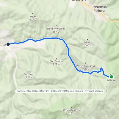 EasyOne-dayMarkedDobroč MachniarkaElevation profile569–1 046 m10.7 kmascent 3 m≈ 2.5 h walking3.5 km from the centre
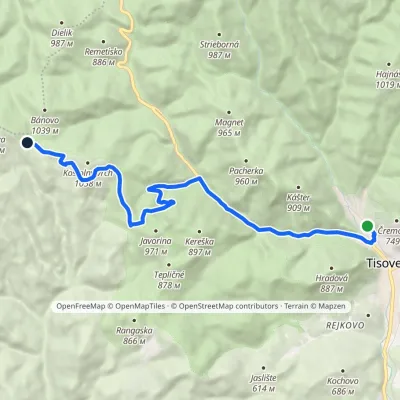 ModerateOne-dayMarkedTisovec, station Saddle Bánovovia RoveňElevation profile418–971 m13.4 kmascent 614 m≈ 4.5 h walking5.4 km from the centre
Peaks nearby
All peaks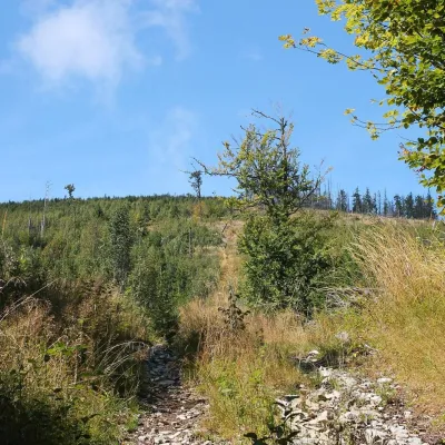 PeakFabova hoľaPohronská Polhoraaltitude 1 439 m6.7 km from the centreFabova hoľa (Polish Fabowa Hala) is the highest summit of the Vepor Mountains (1439 m), part of the Slovak Ore Mountains.
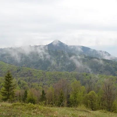 PeakKlenovský VeporPohronská Polhoraaltitude 1 338 m7.6 km from the centreKlenovský Vepor is a massive 1338.2 m summit in the Veporské vrchy, part of the Slovak Ore Mountains. It is the second-highest summit of the Veporské vrchy and the...
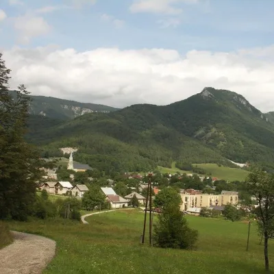 PeakCigánkaMuráňaltitude 935 m19 km from the centreCigánka is a 935 m summit on the south-eastern edge of the Muránska planina plateau, in the Spiš-Gemer Karst, part of the Slovak Ore Mountains.
What to visit
All Cheese dairies & pasturesSalaš Zbojská: sheep’s cheese, bryndza and žinčica on the passTisovec4.2 km from the centreThe Zbojská pass lies at about 740 metres in the forests between Brezno and Tisovec, on the edge of the Hron valley and the Muránska planina plateau.
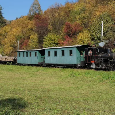 Historic siteČierny Hron Forest RailwayČierny Balog10 km from the centreThe Čierny Hron Railway (Čiernohronská železnica, ČHŽ) is a historic 760 mm narrow-gauge forest railway in the village of Čierny Balog in the Horehronie region.
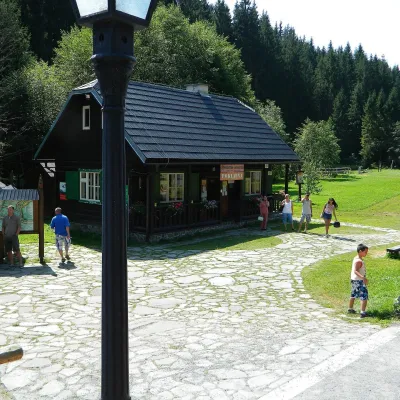 MuseumVydrovo Forestry Open-Air MuseumČierny Balog12 km from the centreThe Vydrovo Forestry Open-Air Museum (Lesnícky skanzen Vydrovo) is devoted to the forest and the work of foresters.
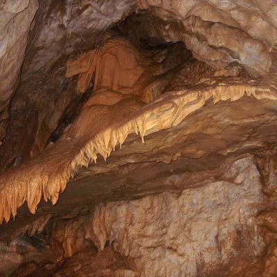 NatureBystrianska CaveValaská18 km from the centreBystrianska Cave (Bystrianska jaskyňa) is the most important cave of the Horehronie valley on the southern side of the Low Tatras.
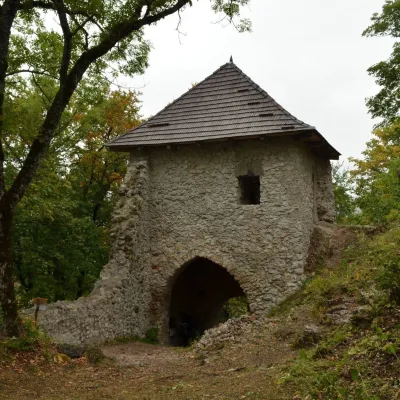 CastleMuráň CastleMuráň19 km from the centreMuráň Castle (Muránsky hrad, officially Muráň) is the ruin of a medieval castle on the summit of Cigánka (935 m) at the southern edge of the Muránska planina plateau,...
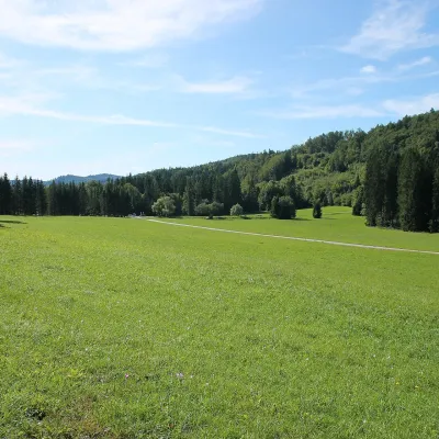 Mountain meadowVeľká lúka on Muránska planinaMuráňaltitude 887 m20 km from the centreVeľká lúka («the Great Meadow») is a huge mountain meadow on the limestone Muránska planina plateau north of the village of Muráň, in the south-eastern part of the...
Craft nearby
All craft places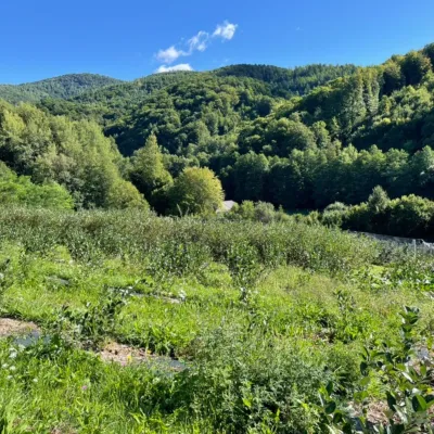 Eco farmsČučoriedková záhrada: pick-your-own blueberries and aronia juiceRatkovské Bystré23 km from the centreHere in 2010 the owners’ family planted the first Canadian blueberry bushes on a small plot — and gradually grew them into the Čučoriedková záhrada (Blueberry Garden).
 Water parks & thermal poolsBrusno Spa: mineral springs, treatments and Caracalla SpaBrusno30 km from the centreBrusno Spa (Kúpele Brusno) lies in the Hron valley (Horehronie), about 20 km north-east of Banská Bystrica, on the northern slopes of the Vepor massif in the Slovak...
Spas and thermal pools nearby
Huts, shelters and springs nearby
Getting there from Ukraine
Border crossings
- Uzhhorod – Vyšné Nemecké — road, 24/7
- Malyi Bereznyi – Ubľa — road, 24/7 For cars and buses; pedestrians not confirmed by the Ukrainian border service, lorries up to 3.5 t.
- Mali Selmentsi – Veľké Slemence (pedestrian) — pedestrian, 09:00–21:00 Kyiv time Pedestrians and cyclists only; inconvenient for the Tatras without onward transport.
- Chop – Čierna nad Tisou (rail) — rail, 24/7
By car
From Uzhhorod to Brezno ≈274 km, ≈3 h 50 min without queues: Uzhhorod – Vyšné Nemecké → I/19 to Košice → D1 via Prešov and Poprad to the exit near Liptovský Hrádok → I/18 and I/72 over the Čertovica Pass to Brezno. To Banská Bystrica ≈322 km, ≈4 h 30 min: D1 to Ružomberok, then I/59 via Donovaly. From Lviv: to Brezno via Uzhok and Ubľa ≈498 km (≈7 h 45 min) or through Poland ≈554 km (≈7 h 05 min); to Banská Bystrica through Poland (Kraków – Chyżne – Trstená – Dolný Kubín – Ružomberok) ≈535 km, ≈7 h 15 min. The D1 requires an e-vignette (eznamka.sk).
Checked 23.10.2026; border crossing hours and timetables change — check before you travel.
