Klenovský Vepor
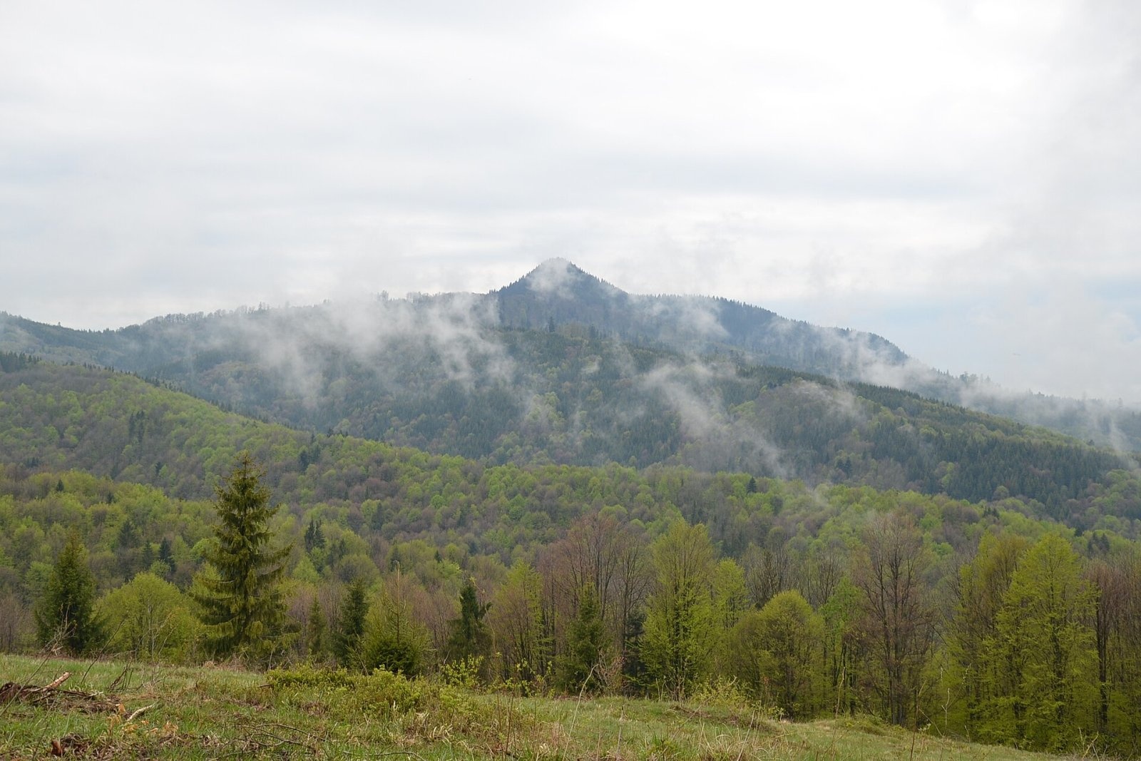
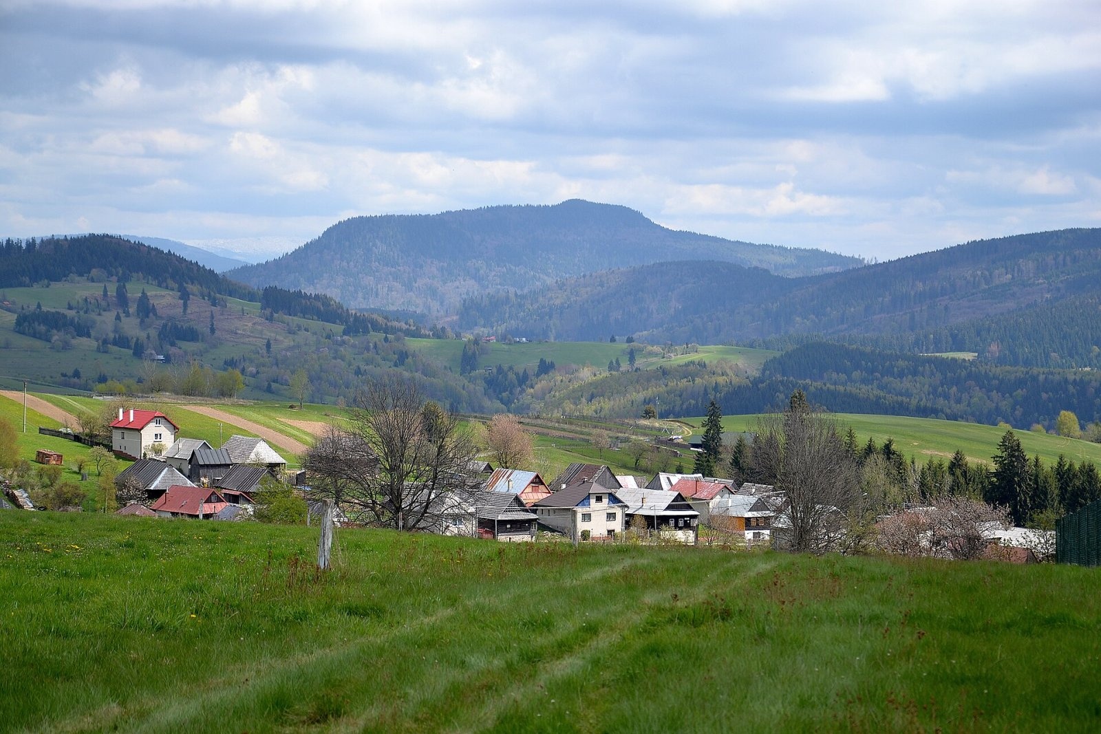
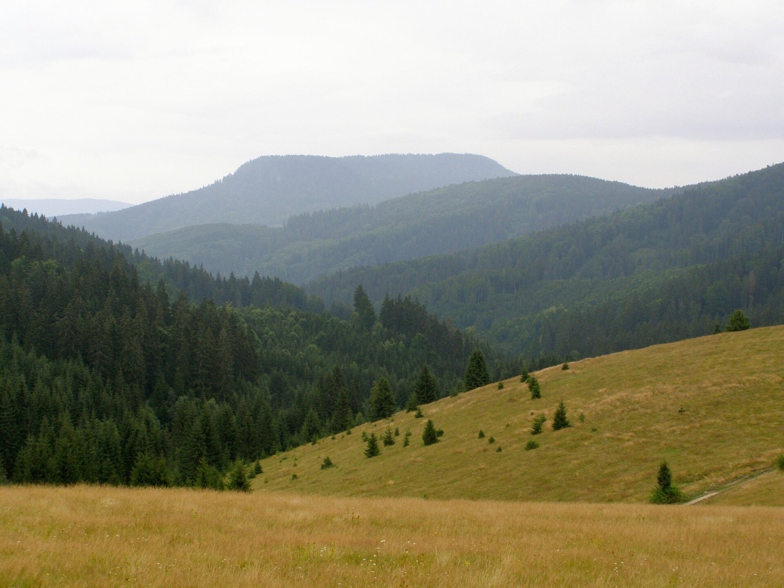
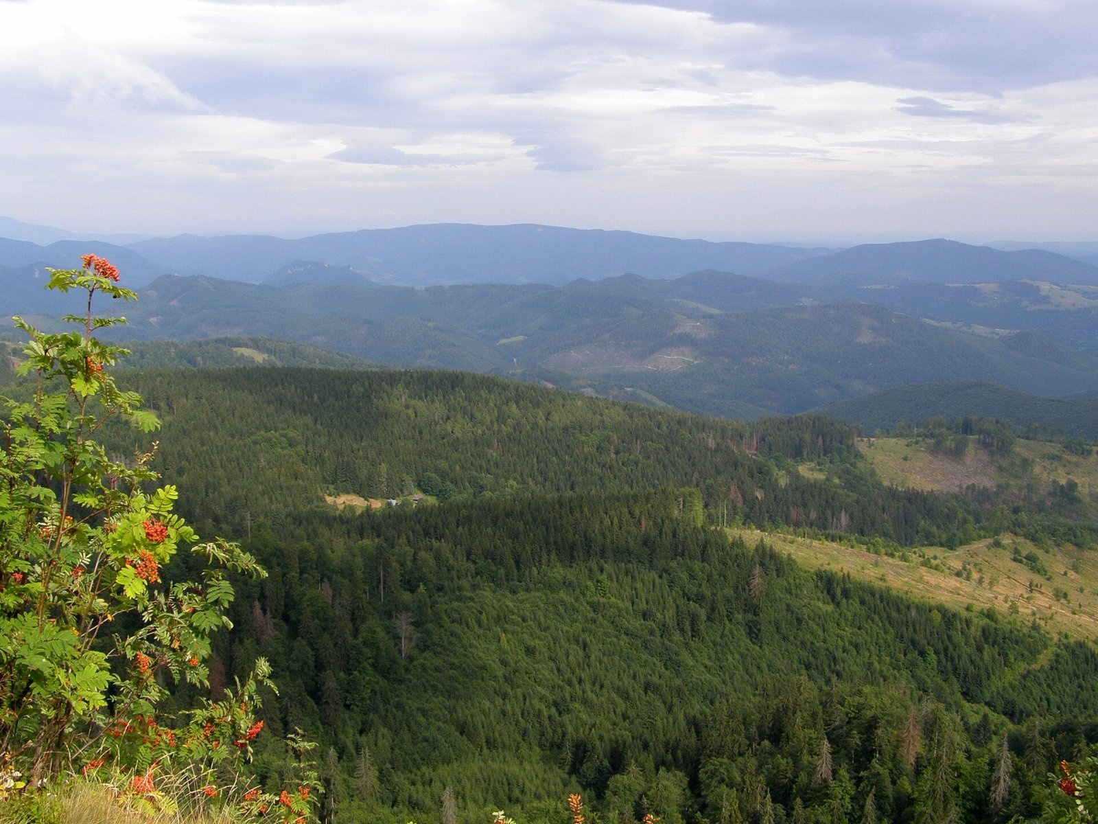
Klenovský Vepor is a massive 1338.2 m summit in the Veporské vrchy, part of the Slovak Ore Mountains. It is the second-highest summit of the Veporské vrchy and the highest in the part called the Balocké vrchy. The mountain rises above the village of Klenovec, about 15 km south-east of Brezno in the Banská Bystrica Region – on the boundary of Brezno and Rimavská Sobota districts, in the cadastres of Čierny Balog and Klenovec. Its prominence is about 444 m. Seen from afar, the elongated massif resembles a lying boar – hence the name: "vepor" means "boar".
The summit lies on a ridge running south-west from the Bánovo saddle (918 m) to Tri chotáre (1141 m). The massif itself is a broad east–west ridge from which long, deeply dissected spurs radiate in all directions, separated by deep, winding valleys. The western slopes drain to the Čierny Hron, the northern ones via the Šaling and Čierny streams, and the south-eastern ones via the Veporský stream to the Klenovská Rimava. Around it rise Karašovo, Zrazy, Lômik, Široký grúň, Rozsypok, Železná brána (1164 m), Machnáčov grúň and Tri chotáre.
How to get there / routes
The red Rudná magistrála crosses the summit:
- From the north-east – from Zbojská via the Bánovo saddle and Rozsypok (about 4:30 h).
- From the south-west – from Tri chotáre via Machnáčov grúň; from the Tlstý javor pass about 4:10 h.
- Green trail – from Klenovec via the Sedlo pod Vartou.
- Blue trails – from Čierny Balog (Dobroč) via Stará dolina and the Machniarka saddle, from Tisovec via the Bánovo saddle, or from Utekáč via Tri chotáre.
- Yellow trail – from Pohronská Polhora via the Chlipavice junction and the Machniarka saddle.
A mountain hut stands on the south-eastern slope.
What you can see from the summit
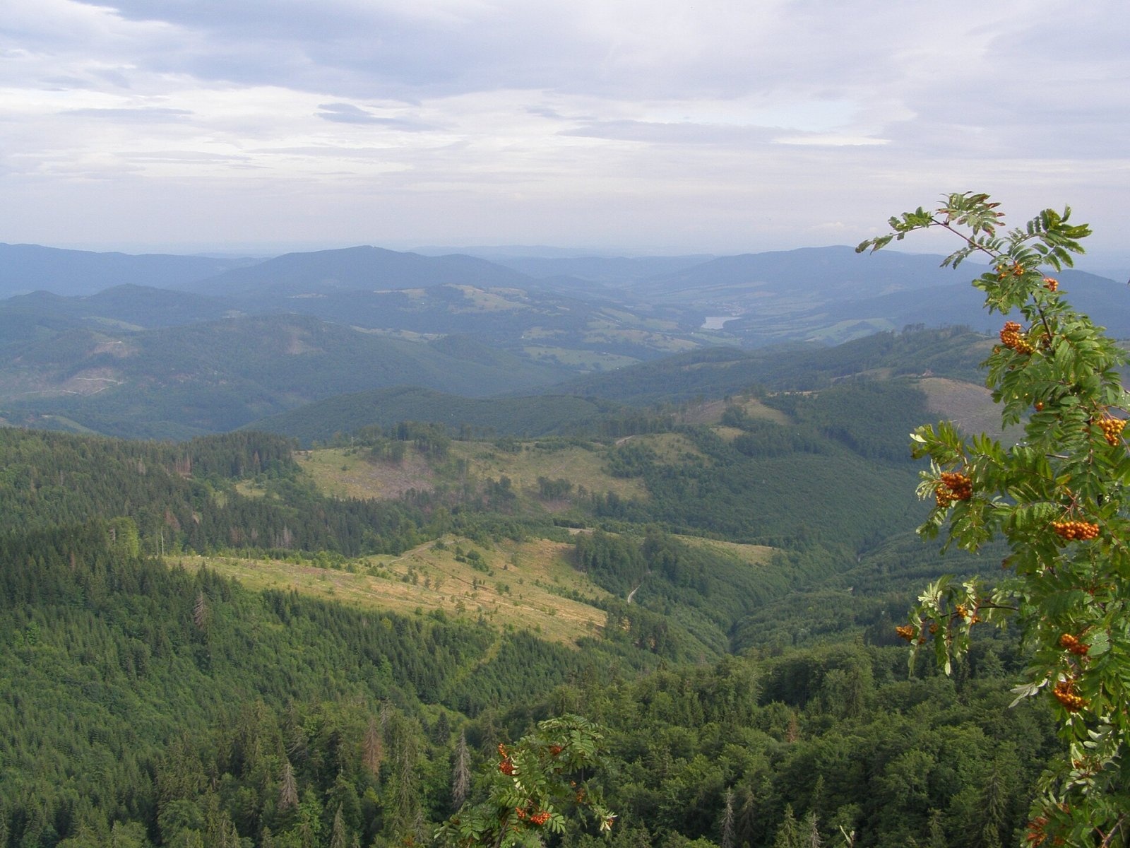
The summit is wooded, so the best views open from rock outcrops and thinner patches of vegetation. From there you can see the neighbouring summits of the Veporské vrchy, the ridges of the Low and High Tatras, the Spiš-Gemer Karst, the Stolické vrchy, Poľana and the border hills of northern Hungary. The most interesting view is to the north-west, into the Čierny Hron valley and to the Prašivá massif in the Low Tatras.
Nature and history
The mountain is volcanic: an erosion-isolated lava flow of pyroxene andesites of Miocene (Badenian) age, probably from a volcanic centre near Tisovec. The andesite crops out here and there as walls and rocks – on the summit and in the southern and western parts of the massif – and these give the mountain its distinctive look.
Most of the massif, roughly above 1150 m, is protected by the Klenovský Vepor national nature reserve, declared in 1964 over 257.6 ha. It protects forests of the 5th to 7th forest vegetation zones – a varied mosaic of well-preserved forest communities that change with altitude, aspect and relief.
Safety, season and rules
In the reserve keep to the marked trails and do not pick plants. The routes to the summit are long, so plan your strength and daylight. About a kilometre from the summit is the Jánošíkova slza spring, with a drinking-water spring a little further; there are several shelters on the slopes. In the Slovak mountains help comes from the Mountain Rescue Service HZS: 18 300 (+421 18 300) or 112.
Interesting facts
- The name "Vepor" comes from the resemblance of the mountain's outline to a boar's back.
- The massif is a lava flow that erosion has "prepared out" of the surrounding rocks.
Photos: Pudelek (Marcin Szala), CC BY-SA 3.0; Pudelek, CC BY-SA 4.0; Daniel Baránek, CC BY-SA 3.0; Daniel Baránek, CC BY-SA 3.0; Daniel Baránek, CC BY-SA 3.0 — Wikimedia Commons.
Getting there from Ukraine
Border crossings
- Uzhhorod – Vyšné Nemecké — road, 24/7
- Malyi Bereznyi – Ubľa — road, 24/7 For cars and buses; pedestrians not confirmed by the Ukrainian border service, lorries up to 3.5 t.
- Mali Selmentsi – Veľké Slemence (pedestrian) — pedestrian, 09:00–21:00 Kyiv time Pedestrians and cyclists only; inconvenient for the Tatras without onward transport.
- Chop – Čierna nad Tisou (rail) — rail, 24/7
By car
From Uzhhorod to Brezno ≈274 km, ≈3 h 50 min without queues: Uzhhorod – Vyšné Nemecké → I/19 to Košice → D1 via Prešov and Poprad to the exit near Liptovský Hrádok → I/18 and I/72 over the Čertovica Pass to Brezno. To Banská Bystrica ≈322 km, ≈4 h 30 min: D1 to Ružomberok, then I/59 via Donovaly. From Lviv: to Brezno via Uzhok and Ubľa ≈498 km (≈7 h 45 min) or through Poland ≈554 km (≈7 h 05 min); to Banská Bystrica through Poland (Kraków – Chyżne – Trstená – Dolný Kubín – Ružomberok) ≈535 km, ≈7 h 15 min. The D1 requires an e-vignette (eznamka.sk).
Checked 23.10.2026; border crossing hours and timetables change — check before you travel.
Location on the map
Water and shelter nearby
- Jánošíková slza Spring910 m · Not verified · 1 246 m
- Spring below Klenovský Vepor1.1 km · Not verified · 1 065 m
- Hut under Varta1.1 km · Not verified · 1 069 m
- Zadná Kýčera2.1 km · Not verified · 967 m
- Spring below Oltárne2.3 km · Not verified · 794 m
Comments
Trails nearby
All trails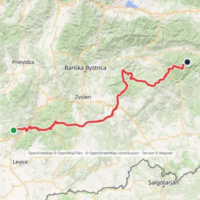 HardMulti-dayMarkedRudná magistrála: Veľký Inovec KadakElevation profile196–1 458 m195.4 kmascent 6 404 munder 1 km from Klenovský Vepor
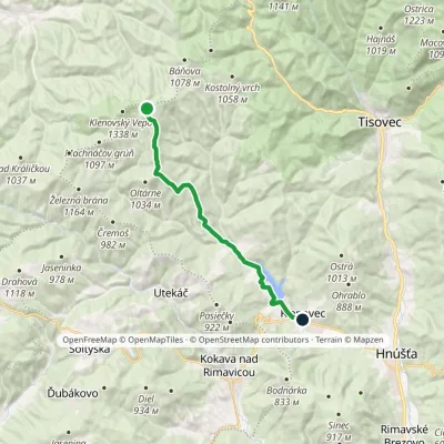 ModerateOne-dayMarkedKlenovec, square Sedlo pod VartouElevation profile339–1 130 m16.1 kmascent 88 m≈ 4 h walking1 km from Klenovský Vepor
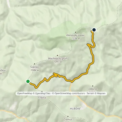 ModerateOne-dayMarkedTri chotáre Saddle under Vartavia SkorušinaElevation profile653–1 150 m9.4 kmascent 472 m≈ 3.5 h walking1 km from Klenovský Vepor
Nearby attractions
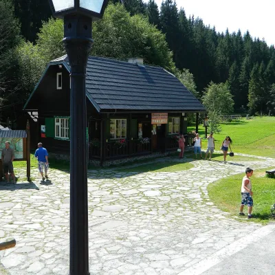 MuseumVydrovo Forestry Open-Air MuseumČierny Balog10 km from Klenovský VeporThe Vydrovo Forestry Open-Air Museum (Lesnícky skanzen Vydrovo) is devoted to the forest and the work of foresters.
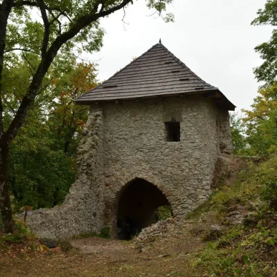 CastleMuráň CastleMuráň23 km from Klenovský VeporMuráň Castle (Muránsky hrad, officially Muráň) is the ruin of a medieval castle on the summit of Cigánka (935 m) at the southern edge of the Muránska planina plateau,...
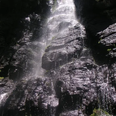 WaterfallBystrô waterfall on the Poľana volcanoHriňová23 km from Klenovský VeporThe Bystrý potok waterfall (Vodopád Bystrého potoka), known locally simply as Bystrô or Bystré, is one of the best-known waterfalls in central Slovakia.
Craft nearby
All craft places Cheese dairies & pasturesSalaš Zbojská: sheep’s cheese, bryndza and žinčica on the passTisovec8.7 km from Klenovský VeporThe Zbojská pass lies at about 740 metres in the forests between Brezno and Tisovec, on the edge of the Hron valley and the Muránska planina plateau.
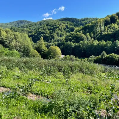 Eco farmsČučoriedková záhrada: pick-your-own blueberries and aronia juiceRatkovské Bystré22 km from Klenovský VeporHere in 2010 the owners’ family planted the first Canadian blueberry bushes on a small plot — and gradually grew them into the Čučoriedková záhrada (Blueberry Garden).
 Water parks & thermal poolsBrusno Spa: mineral springs, treatments and Caracalla SpaBrusno29 km from Klenovský VeporBrusno Spa (Kúpele Brusno) lies in the Hron valley (Horehronie), about 20 km north-east of Banská Bystrica, on the northern slopes of the Vepor massif in the Slovak...
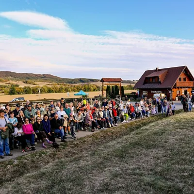 Cheese dairies & pasturesSalaš pod Maginhradom: Gemer sheep’s cheese and the Mitrovanie feastVeľké Teriakovce31 km from Klenovský VeporAcross the road rises Maginhrad hill: in the 15th century a castle stood there that served as a Hussite fortress, and the Romantic poet Ján Botto dedicated a ballad to...
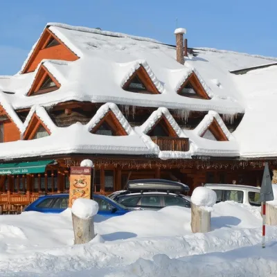 Koliby & Hutsul cuisineKoliba Strachanovka, Jánska valleyLiptovský Ján39 km from Klenovský VeporKoliba Strachanovka (Jánska koliba) is a large wooden koliba at the entrance to the Jánska valley in the village of Liptovský Ján, which locals consider one of the...
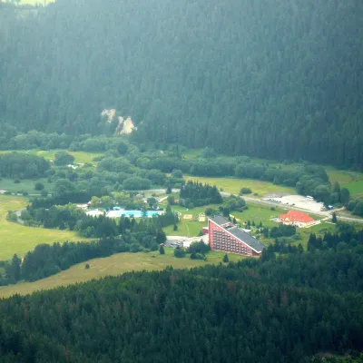 Water parks & thermal poolsTERMAL raj thermal bath, Liptovský JánLiptovský Ján40 km from Klenovský VeporLiptovský Ján: thermal water at the entrance to Jánska dolina Liptovský Ján is an old village in southern Liptov, about 10 km from Liptovský Mikuláš, at the entrance...
