Bystrô waterfall on the Poľana volcano
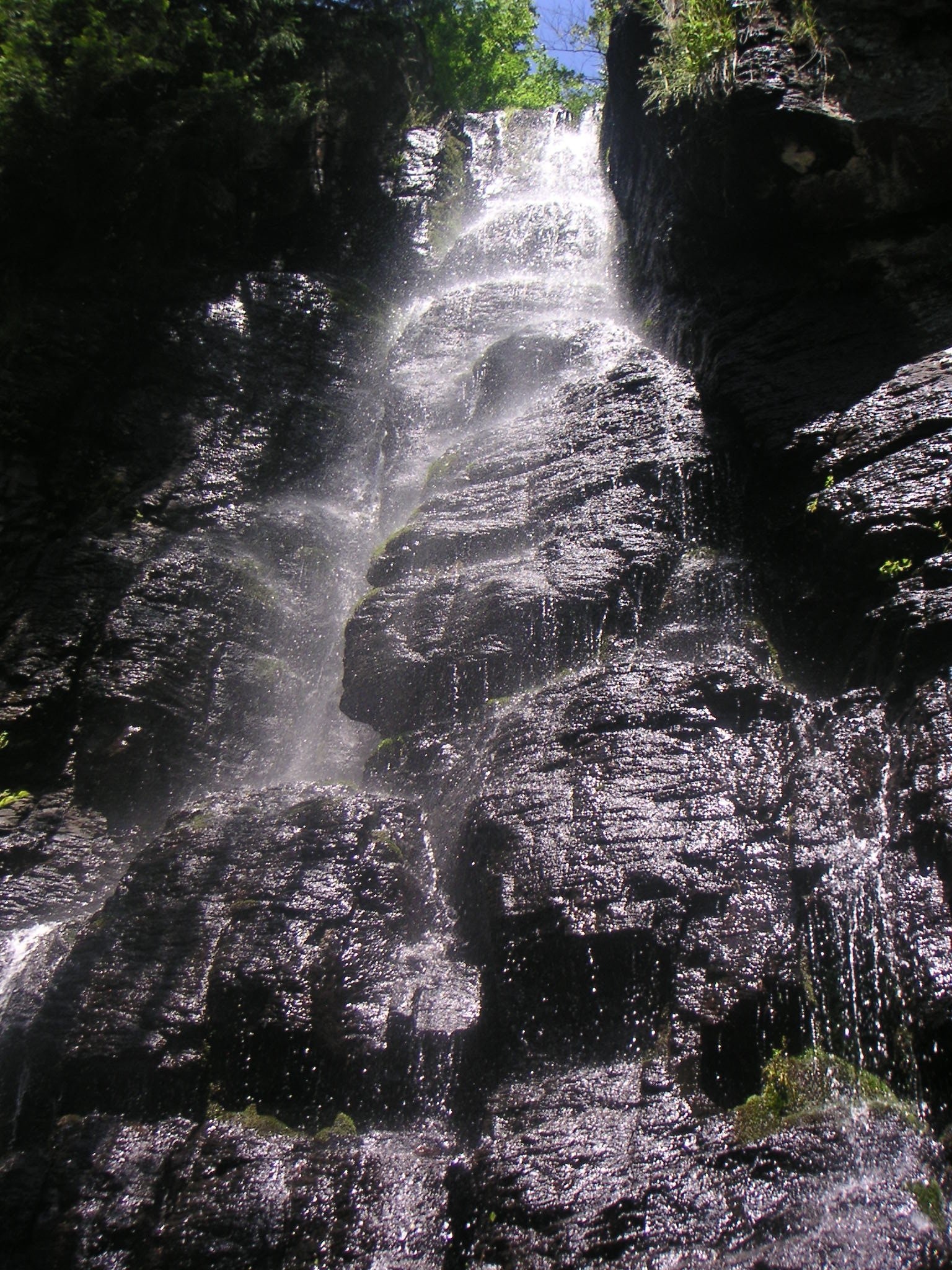
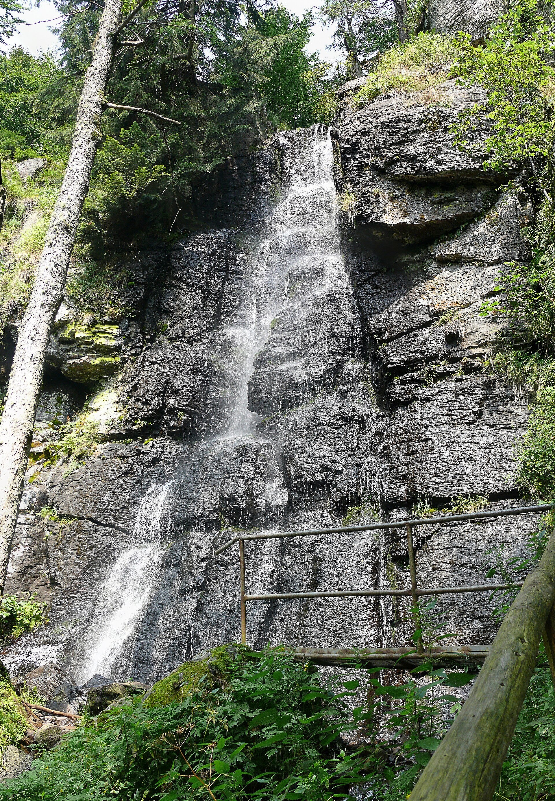
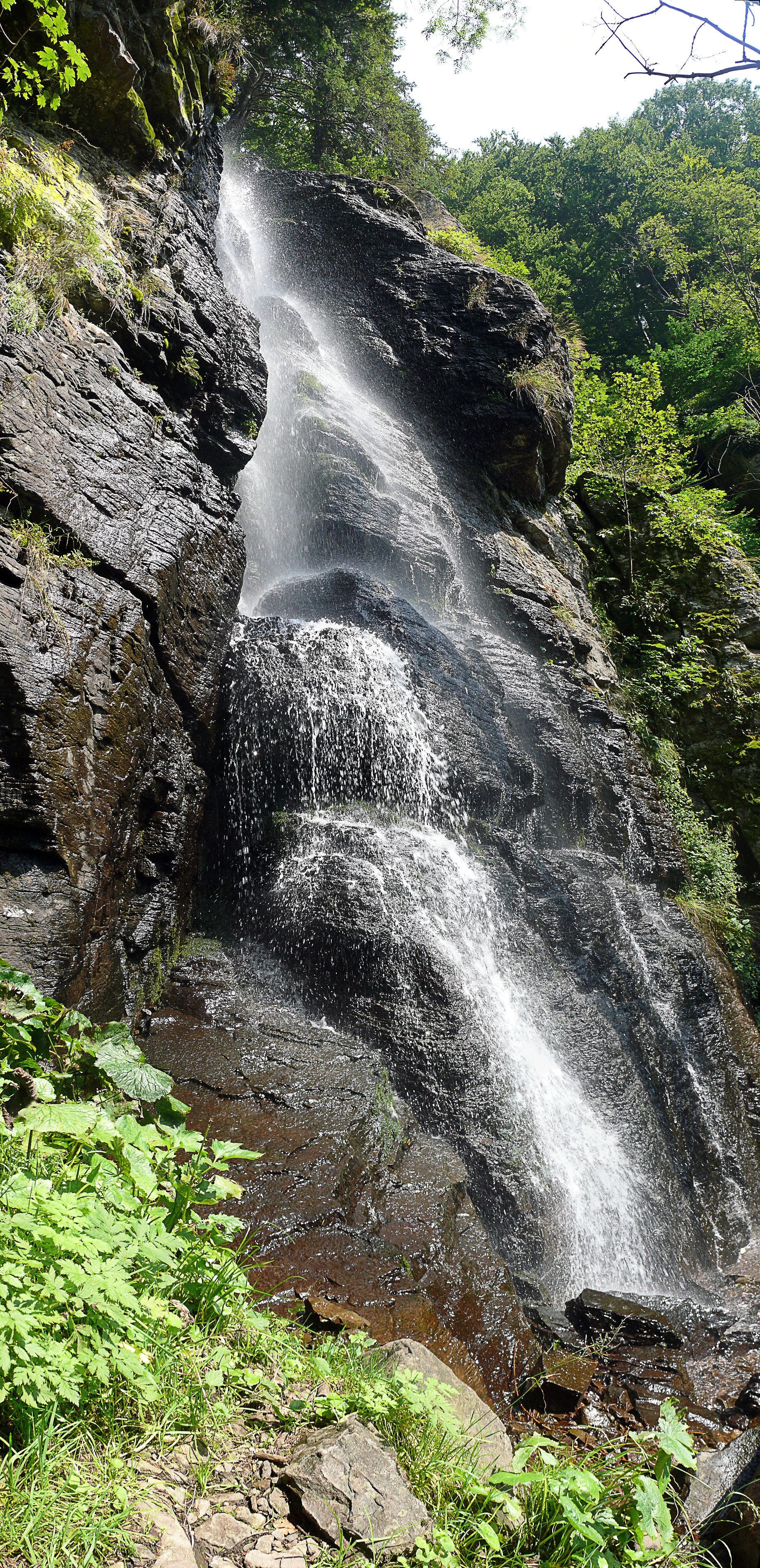
The Bystrý potok waterfall (Vodopád Bystrého potoka), known locally simply as Bystrô or Bystré, is one of the best-known waterfalls in central Slovakia. It lies on the southern slopes of the Poľana massif within the town of Hriňová (Detva District, Banská Bystrica Region), below the Priehybina saddle. The Bystrý stream rises below the summit of Poľana and further down joins the Slatina river; at about 983 m (the upper edge) it falls from a wall 20 m high according to Slovak Wikipedia — or 23 m according to the educational trail and OpenStreetMap.
The waterfall is special for its volcanic origin. The whole Poľana massif is a heavily eroded stratovolcano with its crater at the settlement of Kyslinky; its highest summit (1,457.8 m) is the highest and most massive of the Neogene volcanic mountains in the Western Carpathians. Here the water drops over the edge of a thick andesite lava flow, and erosion and weathering have carved a rock amphitheatre around it. It was this amphitheatre that was declared a national natural monument in 1982. The Poľana mountains have been a protected landscape area (CHKO) since 1981 and a UNESCO biosphere reserve since 1990; the Bystrý potok valley is part of the Natura 2000 network and of a primeval-forest reserve.
What to see and do
- A «veil» waterfall: thin streams spread over dark andesite ledges; it carries the most water in spring during snowmelt and after rain.
- The «Bystrý potok Waterfall» educational trail (opened in 2013): 11 stops with information panels on the volcanic structure of Poľana, its forests, animals and plants; on the way you pass the Rechtorova studnička spring.
- At the waterfall itself there are steps and railings from which the wall is easy to photograph from below.
Getting there
The most convenient way is the educational trail from Hriňová: start by the Church of Our Lady of Fátima on Raticov vrch (bus stop «Hriňová, Raticov vrch»), then via the settlements of Bystré and Vrátka up the Bystrý potok valley to the waterfall — 4.5 km, 350 m of ascent, about 2 hours one way. The trail is rated moderately demanding, two-way and open all year; at first it runs alongside the yellow trail, higher up alongside the green one. The green trail continues up to the ridge — route Skliarovo – Mountain Hotel Poľana. It is a calm walk up a wooded valley that school-age children can manage, but the stepped section by the waterfall is not suitable for pushchairs.
Season and safety
The waterfall is accessible all year and entry is free. It lies in a protected landscape area and a national natural monument, so keep to the path, do not climb the wet andesite ledges and do not step beyond the railings. In winter the steps and rocks by the waterfall ice up — wear shoes with a good tread or light crampons. The trail panels also tell of the brown bear living in the forests of Poľana: keep dogs on a lead and do not leave food behind. Mountain Rescue Service — 18 300, general emergency number — 112. As of October 2026.
Nearby
From the waterfall, paths lead to the Poľana ridge — to the Priehybina saddle and the main summit (1,457.8 m), from which in good visibility you can see the Low Tatras, Veľká Fatra and even the peaks of the High Tatras. The red Rudná magistrála: Veľký Inovec – Kadak crosses the summit. To the south-west lies the town of Detva (route Detva, museum – Polomy, junction).
Official website: naucnechodniky.eu
Photos: John fitzburn, CC BY-SA 3.0, Wikimedia Commons; Prskavka, Public domain, Wikimedia Commons.
Getting there from Ukraine
Border crossings
- Uzhhorod – Vyšné Nemecké — road, 24/7
- Malyi Bereznyi – Ubľa — road, 24/7 For cars and buses; pedestrians not confirmed by the Ukrainian border service, lorries up to 3.5 t.
- Mali Selmentsi – Veľké Slemence (pedestrian) — pedestrian, 09:00–21:00 Kyiv time Pedestrians and cyclists only; inconvenient for the Tatras without onward transport.
- Chop – Čierna nad Tisou (rail) — rail, 24/7
By car
From Uzhhorod to Brezno ≈274 km, ≈3 h 50 min without queues: Uzhhorod – Vyšné Nemecké → I/19 to Košice → D1 via Prešov and Poprad to the exit near Liptovský Hrádok → I/18 and I/72 over the Čertovica Pass to Brezno. To Banská Bystrica ≈322 km, ≈4 h 30 min: D1 to Ružomberok, then I/59 via Donovaly. From Lviv: to Brezno via Uzhok and Ubľa ≈498 km (≈7 h 45 min) or through Poland ≈554 km (≈7 h 05 min); to Banská Bystrica through Poland (Kraków – Chyżne – Trstená – Dolný Kubín – Ružomberok) ≈535 km, ≈7 h 15 min. The D1 requires an e-vignette (eznamka.sk).
Checked 23.10.2026; border crossing hours and timetables change — check before you travel.
Location on the map
Comments
Trails nearby
All trails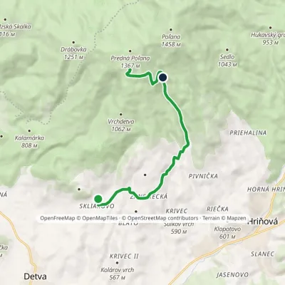 ModerateOne-dayMarkedSkliarovo Mountain Hotel PoľanaElevation profile557–1 259 m9.7 kmascent 699 m≈ 4 h walkingunder 1 km from Bystrô waterfall on the Poľana volcano
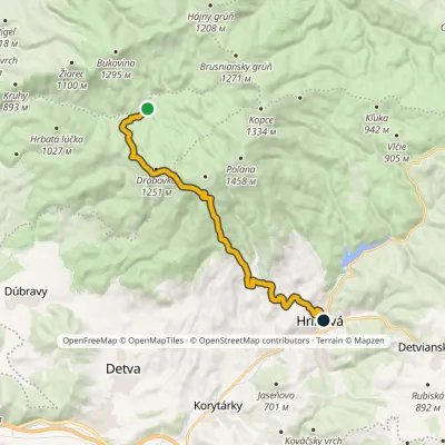 ModerateOne-dayMarkedMičová HriňováElevation profile482–1 293 m16.6 kmascent 656 m≈ 5.5 h walkingunder 1 km from Bystrô waterfall on the Poľana volcano
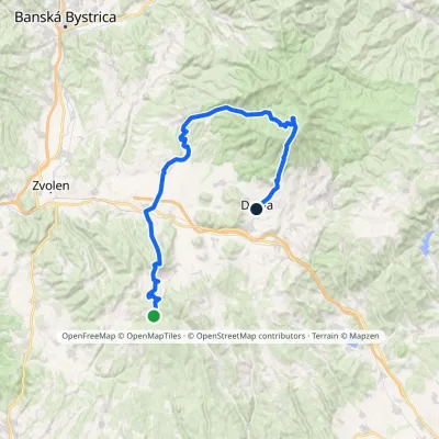 HardMulti-dayMarkedDetva, museum Polomy, junctionElevation profile332–1 318 m55 kmascent 1 410 m1.1 km from Bystrô waterfall on the Poľana volcano
Nearby attractions
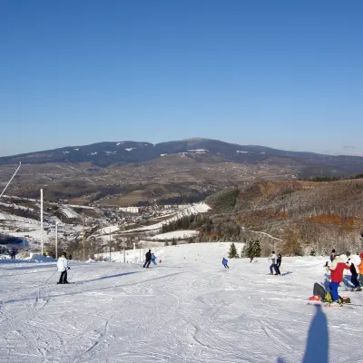 PeakPoľanaHriňováaltitude 1 458 m1.7 km from Bystrô waterfall on the Poľana volcanoPoľana is a 1457.8 m summit, the highest point of the mountain massif of the same name in central Slovakia.
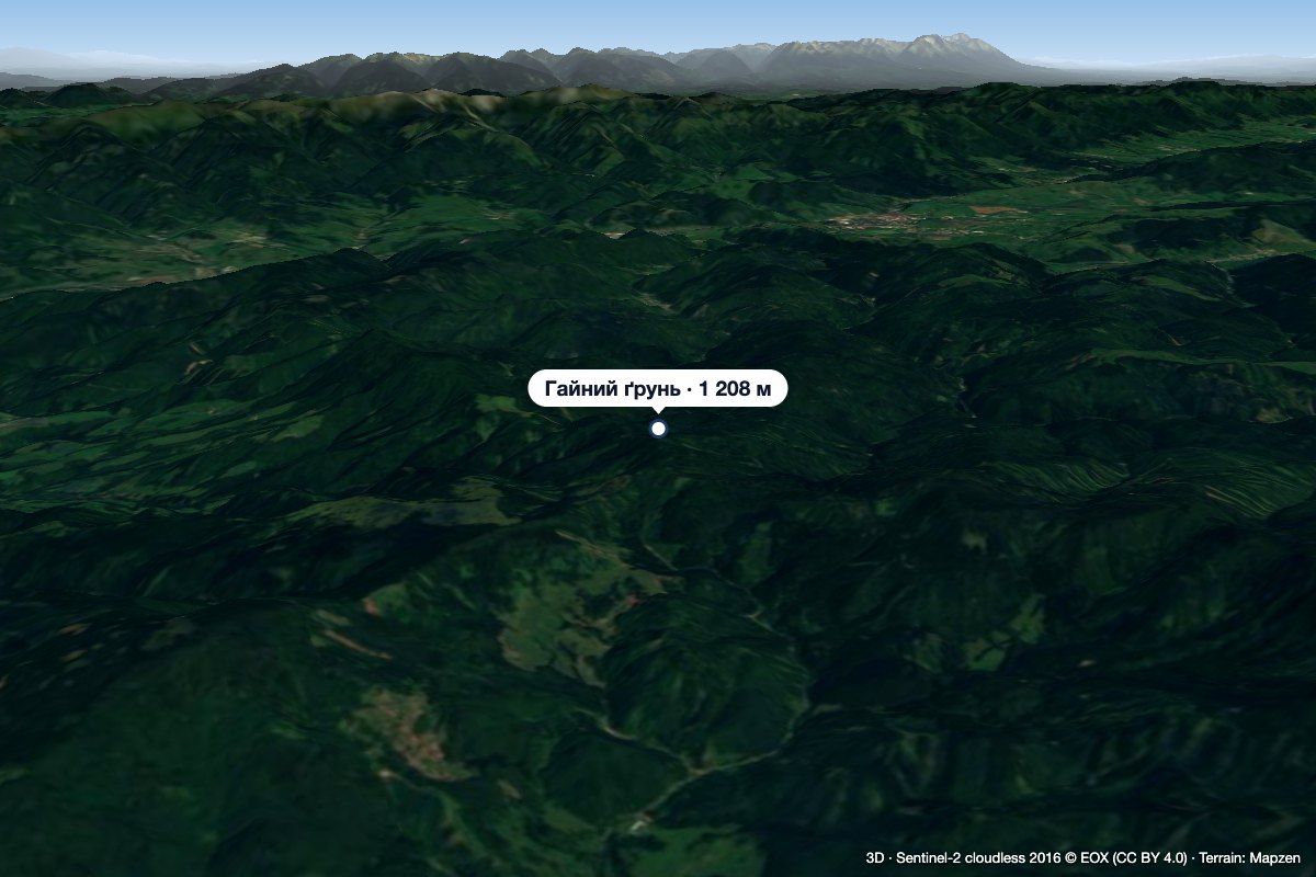 PeakHájny grúňĽubietováaltitude 1 208 m7.7 km from Bystrô waterfall on the Poľana volcanoHájny grúň is a forested 1208 m summit in the northern part of the Poľana mountains in Central Slovakia.
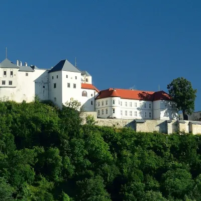 CastleĽupča CastleSlovenská Ľupča22 km from Bystrô waterfall on the Poľana volcanoĽupča Castle (Ľupčiansky hrad, Hrad Ľupča) rises above the village of Slovenská Ľupča in the Hron valley, about 10 km east of Banská Bystrica.
Craft nearby
All craft places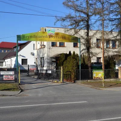 Cheese dairies & pasturesZvolenská Slatina bryndza dairy: the oldest, since 1797Zvolenská Slatina18 km from Bystrô waterfall on the Poľana volcanoBryndza with more than 220 years behind it Zvolenská Slatina is a large village in the Podpoľanie region, a few kilometres from Zvolen, at the foot of the volcanic...
 Water parks & thermal poolsBrusno Spa: mineral springs, treatments and Caracalla SpaBrusno19 km from Bystrô waterfall on the Poľana volcanoBrusno Spa (Kúpele Brusno) lies in the Hron valley (Horehronie), about 20 km north-east of Banská Bystrica, on the northern slopes of the Vepor massif in the Slovak...
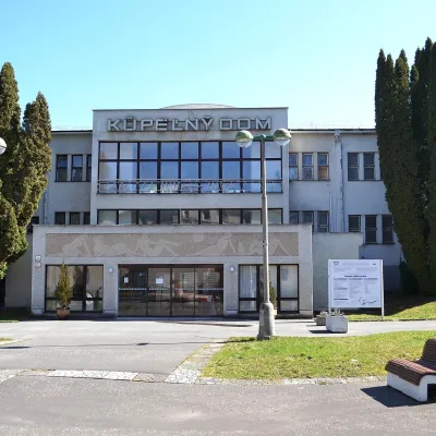 Water parks & thermal poolsSliač spa: warm carbonated water and a thermal swimming areaSliač23 km from Bystrô waterfall on the Poľana volcanoSliač is a spa in the Zvolen Basin above the Hron valley, between Zvolen and Banská Bystrica. The spa quarter with its 46-hectare park lies on a slope above the former...
 Craft beer & breweriesUrpiner brewery in Banská Bystrica: tour and beer from the tankBanská Bystrica27 km from Bystrô waterfall on the Poľana volcanoBanská Bystrica is the centre of Central Slovakia and grew rich on copper mining in the 14th–16th centuries.
 Craft shopsÚĽUV Banská Bystrica: folk-craft shop and craft schoolBanská Bystrica28 km from Bystrô waterfall on the Poľana volcanoÚĽUV (Ústredie ľudovej umeleckej výroby, the Centre for Folk Art Production) is a state institution that has looked after Slovak folk crafts since 1945: it keeps a...
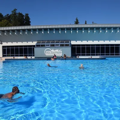 Water parks & thermal poolsKováčová: thermal spa and Holidaypark aquapark near ZvolenKováčová28 km from Bystrô waterfall on the Poľana volcanoKováčová is a spa village on the south-western edge of the Zvolen Basin, 4 km west of Zvolen at the foot of the Kremnica Mountains; the village centre lies at 303 m.
