Hriňová
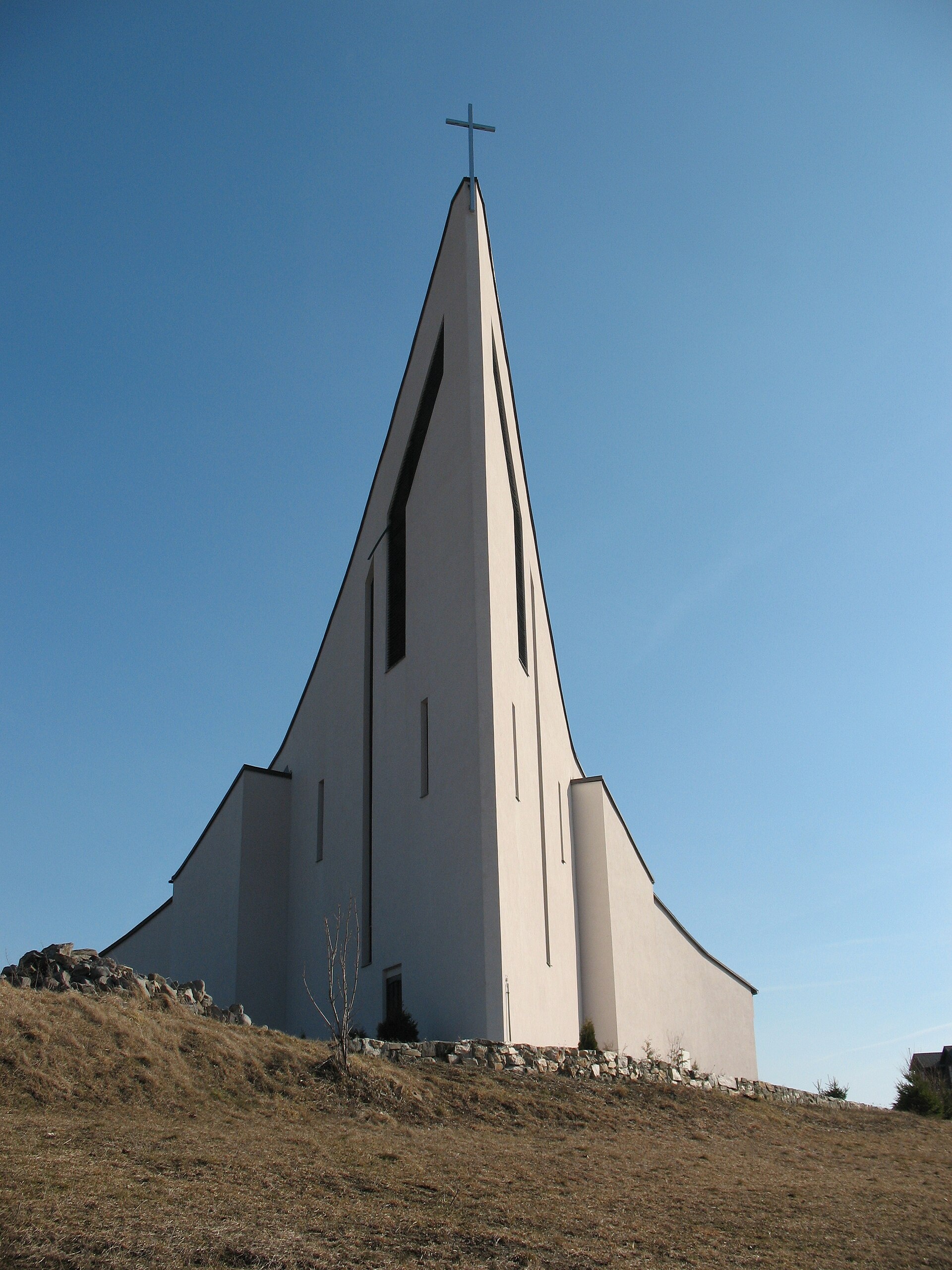
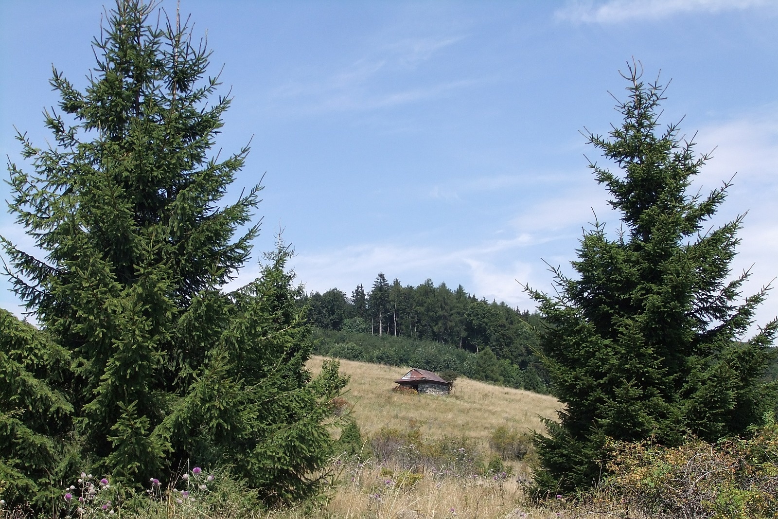
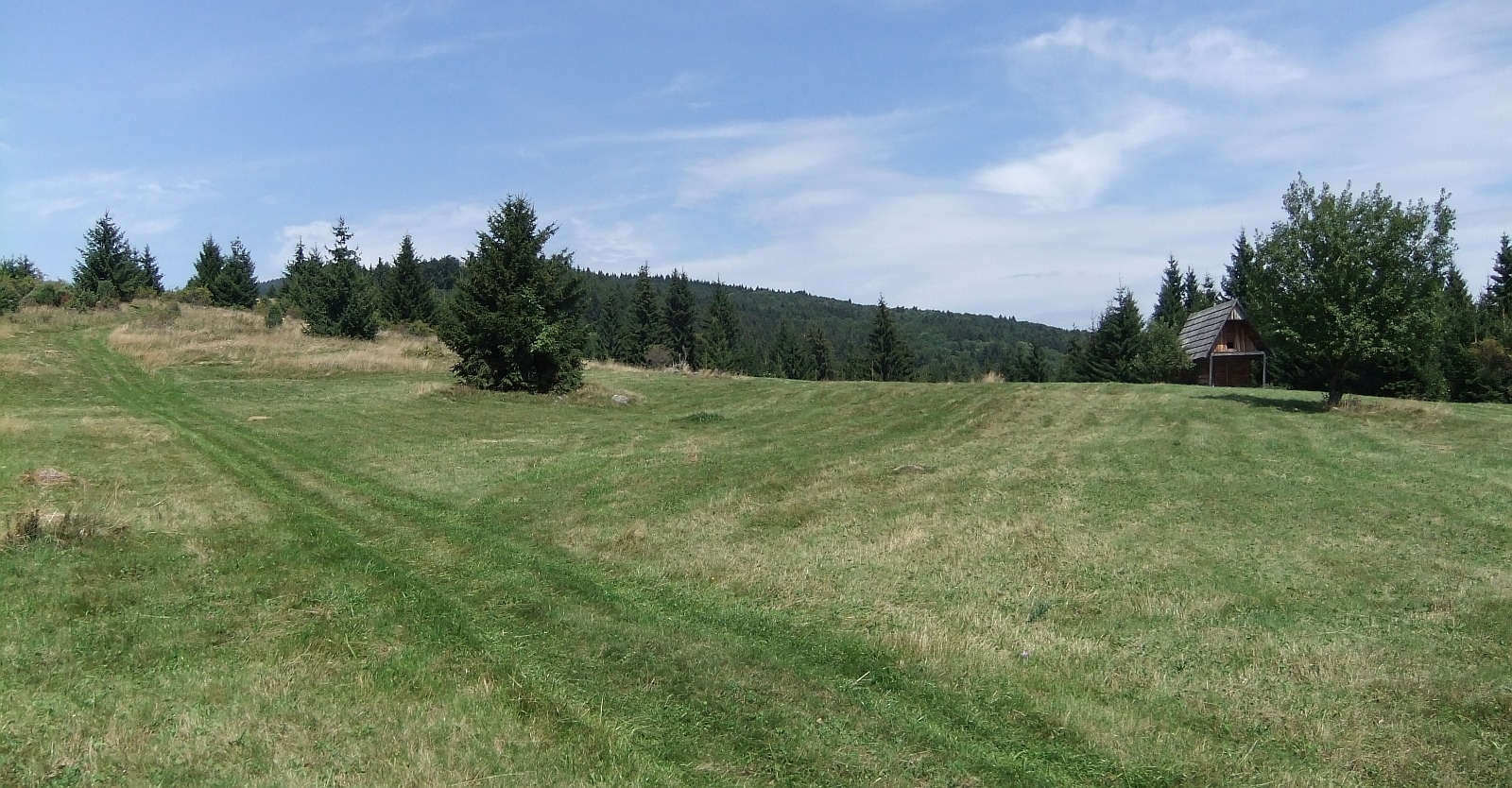
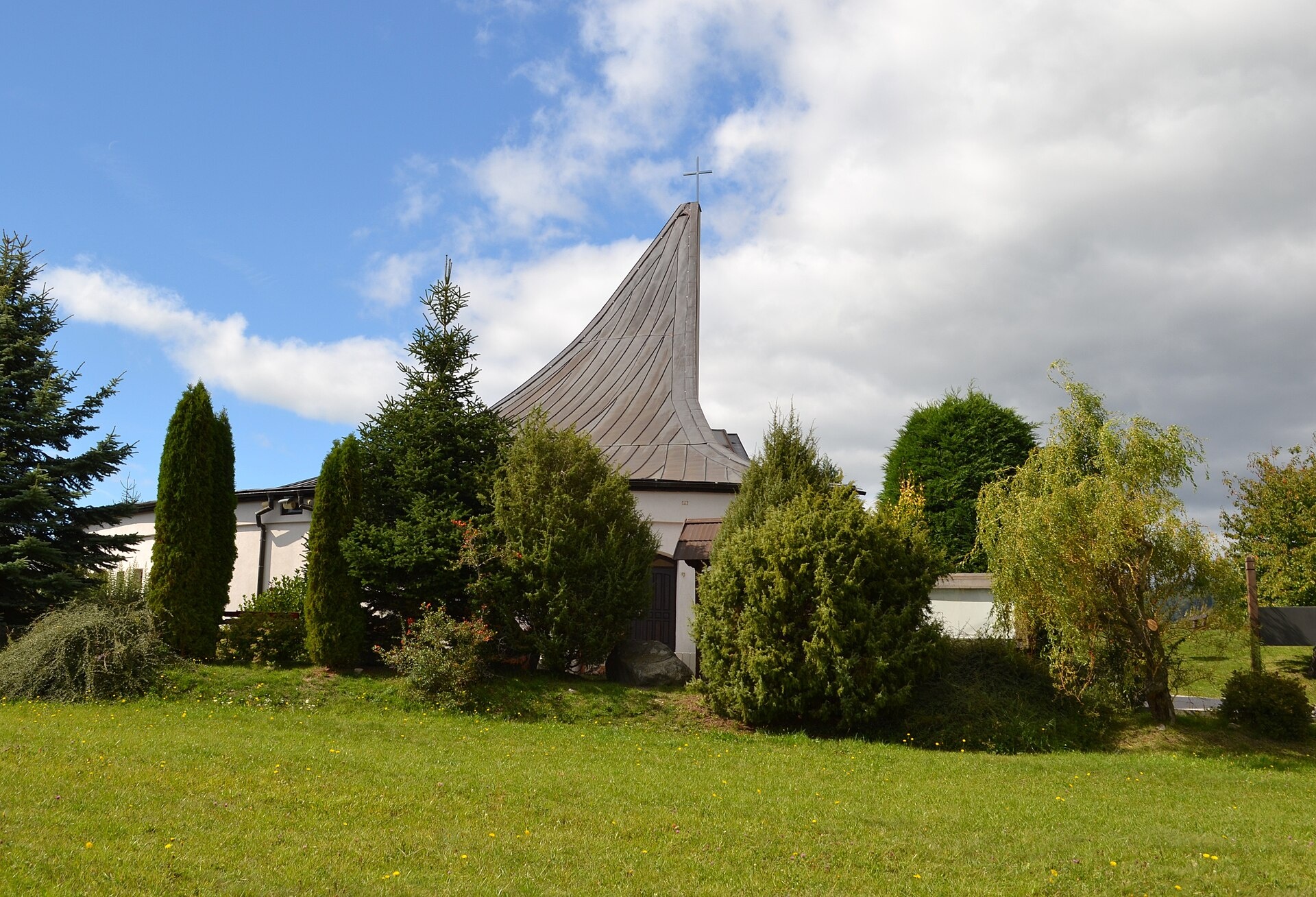
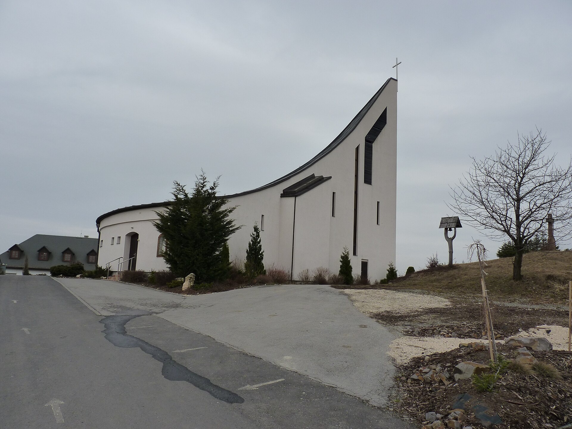
Photos: Martiner111, Public domain (Wikimedia Commons); Miroslav Blaho, CC BY-SA 3.0 (Wikimedia Commons); Miroslav Blaho, CC BY-SA 3.0 (Wikimedia Commons); Ladislav Luppa, CC BY-SA 4.0 (Wikimedia Commons); Dvojzmysel, CC BY-SA 4.0 (Wikimedia Commons); Ladislav Luppa, CC BY-SA 4.0 (Wikimedia Commons)
Hriňová is a town in the Detva District of the Banská Bystrica Region, Slovakia, situated at an elevation of 669 metres in the scenic area near the Slovak Ore Mountains. The town lies on the Slatina river, with the Hriňová reservoir located nearby. Surrounded by hills and mountain ranges, Hriňová offers picturesque landscapes and proximity to the Poľana massif.
The first mentions of the settlement date back to 1863. Initially, Hriňová was part of the Detva municipality, which originated in the 17th century. In 1891, Hriňová became a separate municipality, and it has held town status since January 1, 1989.
Hriňová is known for its natural riches, with numerous streams such as Bystrý potok, Hukava, Nemecka, Riečka, Bielá voda, Gondova jama, and Suchý potok flowing through the area. To the north of the town lies the Hriňová reservoir. The region is notable for its preserved folklore, examples of wooden folk architecture, and valuable wooden crosses in the cemetery. In 1929, a treasure of 14 Roman denarii from the 2nd century AD was discovered here.
Visitors can enjoy a variety of hiking trails, including "Hriňová – Čertjaž", "Mičová – Hriňová", and "Cinobaňa – Tanevo, crossroads – Veľký Drboč – Hriňová", as well as "Detvianska Huta – Smolno". Nature lovers may visit the Bystrý Waterfall on the Poľana volcano or hike to the Poľana peak. For mountain accommodation, the Dudáš Hut is available.
Getting there from Ukraine
From Uzhhorod to Brezno ≈274 km, ≈3 h 50 min without queues: Uzhhorod – Vyšné Nemecké → I/19 to Košice → D1 via Prešov and Poprad to the exit near Liptovský Hrádok → I/18 and I/72 over the Čertovica Pass to Brezno. To Banská Bystrica ≈322 km, ≈4 h 30 min: D1 to Ružomberok, then I/59 via Donovaly. From Lviv: to Brezno via Uzhok and Ubľa ≈498 km (≈7 h 45 min) or through Poland ≈554 km (≈7 h 05 min); to Banská Bystrica through Poland (Kraków – Chyżne – Trstená – Dolný Kubín – Ružomberok) ≈535 km, ≈7 h 15 min. The D1 requires an e-vignette (eznamka.sk).
Sources: Wikipedia, Wikidata, OpenStreetMap, Karpaty.rocks data. More on Wikipedia
Trails nearby
All trails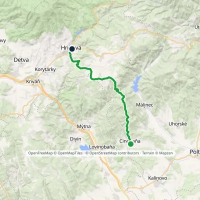 HardTwo-dayMarkedCinobaňa Hriňovávia Táňovo, junction, VrchdobročElevation profile270–920 m25 kmascent 897 m≈ 8 h walkingunder 1 km from the centre
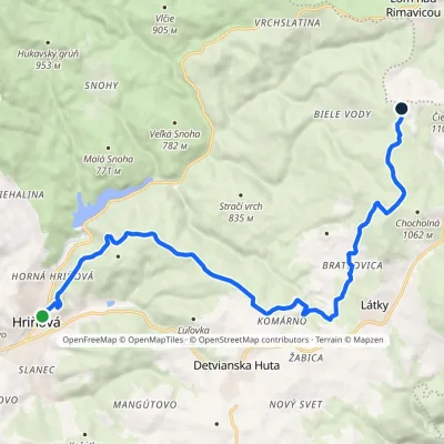 ModerateTwo-dayMarkedHriňová ČierťažElevation profile481–1 060 m16.5 kmascent 711 m≈ 5.5 h walkingunder 1 km from the centre
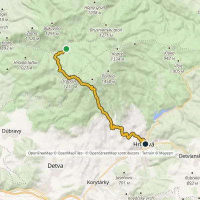 ModerateOne-dayMarkedMičová HriňováElevation profile482–1 293 m16.6 kmascent 656 m≈ 5.5 h walkingunder 1 km from the centre
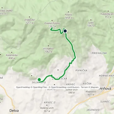 ModerateOne-dayMarkedSkliarovo Mountain Hotel PoľanaElevation profile557–1 259 m9.7 kmascent 699 m≈ 4 h walking3.7 km from the centre
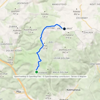 EasyOne-dayMarkedPredné lazy VrchdobročElevation profile634–876 m7.5 kmascent 305 m≈ 2.5 h walking4.2 km from the centre
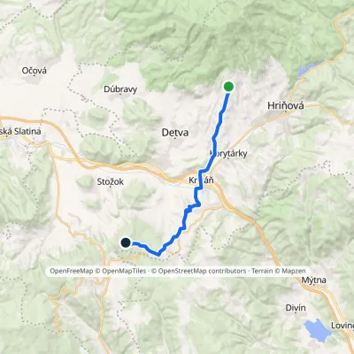 ModerateTwo-dayMarkedSliačska Podpoľana Malčekova skalaElevation profile392–829 m18.4 kmascent 500 m≈ 5.5 h walking4.2 km from the centre
Peaks nearby
All peaks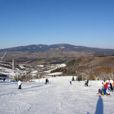 PeakPoľanaHriňováaltitude 1 458 m7.4 km from the centrePoľana is a 1457.8 m summit, the highest point of the mountain massif of the same name in central Slovakia.
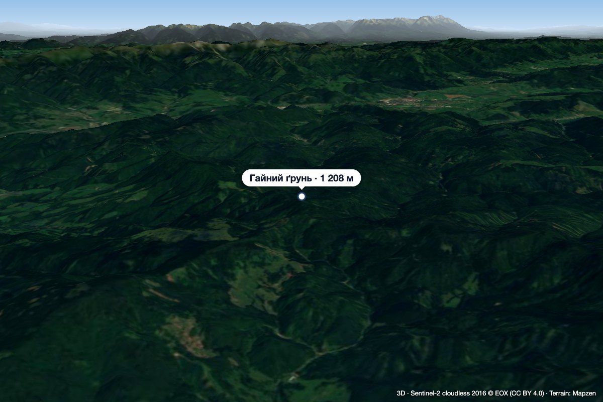 PeakHájny grúňĽubietováaltitude 1 208 m13 km from the centreHájny grúň is a forested 1208 m summit in the northern part of the Poľana mountains in Central Slovakia.
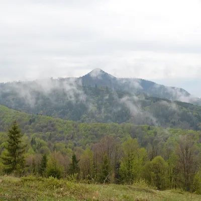 PeakKlenovský VeporPohronská Polhoraaltitude 1 338 m22 km from the centreKlenovský Vepor is a massive 1338.2 m summit in the Veporské vrchy, part of the Slovak Ore Mountains. It is the second-highest summit of the Veporské vrchy and the...
What to visit
All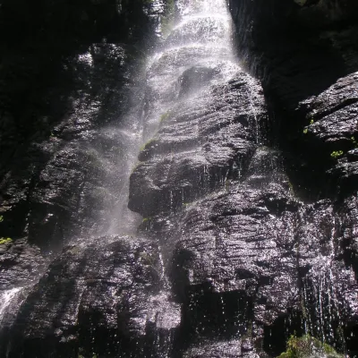 WaterfallBystrô waterfall on the Poľana volcanoHriňová6.1 km from the centreThe Bystrý potok waterfall (Vodopád Bystrého potoka), known locally simply as Bystrô or Bystré, is one of the best-known waterfalls in central Slovakia.
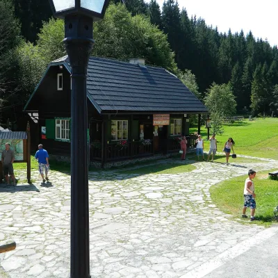 MuseumVydrovo Forestry Open-Air MuseumČierny Balog19 km from the centreThe Vydrovo Forestry Open-Air Museum (Lesnícky skanzen Vydrovo) is devoted to the forest and the work of foresters.
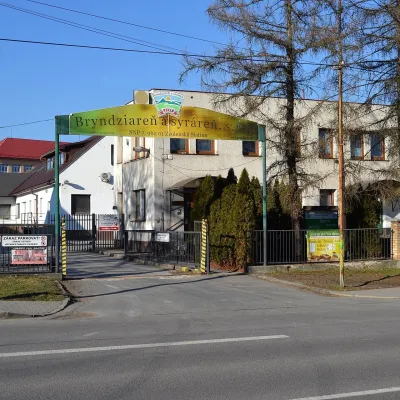 Cheese dairies & pasturesZvolenská Slatina bryndza dairy: the oldest, since 1797Zvolenská Slatina20 km from the centreBryndza with more than 220 years behind it Zvolenská Slatina is a large village in the Podpoľanie region, a few kilometres from Zvolen, at the foot of the volcanic...
Craft nearby
All craft placesSpas and thermal pools nearby
 Water parks & thermal poolsBrusno Spa: mineral springs, treatments and Caracalla SpaBrusno25 km from the centreBrusno Spa (Kúpele Brusno) lies in the Hron valley (Horehronie), about 20 km north-east of Banská Bystrica, on the northern slopes of the Vepor massif in the Slovak...
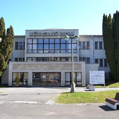 Water parks & thermal poolsSliač spa: warm carbonated water and a thermal swimming areaSliač27 km from the centreSliač is a spa in the Zvolen Basin above the Hron valley, between Zvolen and Banská Bystrica. The spa quarter with its 46-hectare park lies on a slope above the former...
Huts, shelters and springs nearby
Getting there from Ukraine
Border crossings
- Uzhhorod – Vyšné Nemecké — road, 24/7
- Malyi Bereznyi – Ubľa — road, 24/7 For cars and buses; pedestrians not confirmed by the Ukrainian border service, lorries up to 3.5 t.
- Mali Selmentsi – Veľké Slemence (pedestrian) — pedestrian, 09:00–21:00 Kyiv time Pedestrians and cyclists only; inconvenient for the Tatras without onward transport.
- Chop – Čierna nad Tisou (rail) — rail, 24/7
By car
From Uzhhorod to Brezno ≈274 km, ≈3 h 50 min without queues: Uzhhorod – Vyšné Nemecké → I/19 to Košice → D1 via Prešov and Poprad to the exit near Liptovský Hrádok → I/18 and I/72 over the Čertovica Pass to Brezno. To Banská Bystrica ≈322 km, ≈4 h 30 min: D1 to Ružomberok, then I/59 via Donovaly. From Lviv: to Brezno via Uzhok and Ubľa ≈498 km (≈7 h 45 min) or through Poland ≈554 km (≈7 h 05 min); to Banská Bystrica through Poland (Kraków – Chyżne – Trstená – Dolný Kubín – Ružomberok) ≈535 km, ≈7 h 15 min. The D1 requires an e-vignette (eznamka.sk).
Checked 23.10.2026; border crossing hours and timetables change — check before you travel.
