Poľana
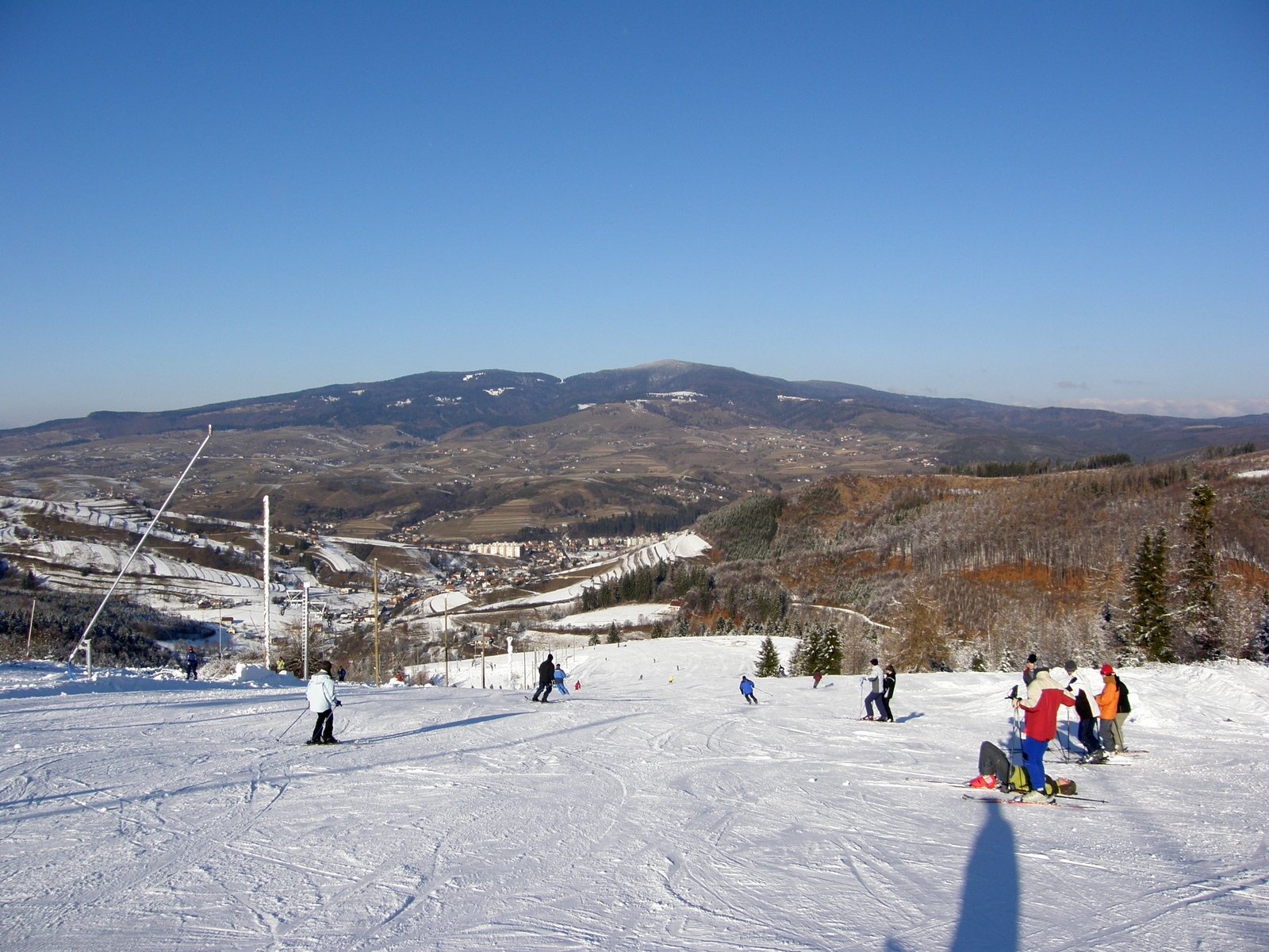
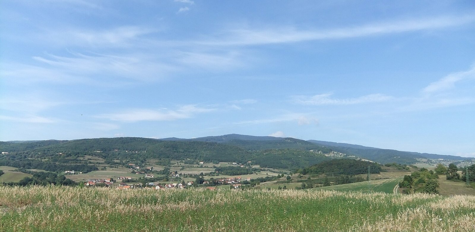
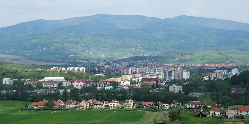
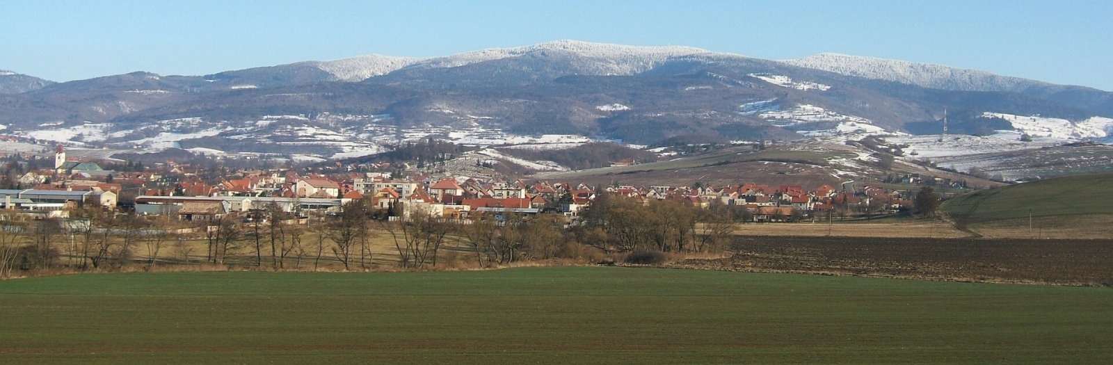
Poľana is a 1457.8 m summit, the highest point of the mountain massif of the same name in central Slovakia. The massif belongs to the Slovak Central Mountains (Slovenské stredohorie) and is a heavily eroded stratovolcano – the highest volcanic mountains in Slovakia. The summit lies about 7 km north of the town of Hriňová, within its cadastre, in Detva District of the Banská Bystrica Region. With a prominence of about 728 m it stands out clearly above the Zvolen basin.
The summit rises on the south-eastern rim of the former caldera. The caldera is about 6 km across and almost 20 km round, and is counted among the largest extinct volcanoes in Europe; the settlement of Kyslinky lies at its centre. To the west, beyond the Priehybina saddle (1273 m), stands Predná Poľana (1367 m); to the south Kozí chrbát (967 m), to the east Sedlo (1043 m), and to the north Kopce (1334 m) and Brusniansky grúň (1271 m). The western slopes drain into the Hučava, the eastern ones are the source area of the Hukava and the southern ones drain via the Bystrý stream.
How to get there / routes
The red Rudná magistrála, a long-distance trail across central Slovakia, follows the caldera rim over the summit.
- Red trail: from Detva via Kalamárka and the Priehybina saddle, or from the Jasenová saddle via Kopce.
- Blue trail: from Kyslinky via the Priehybina saddle, from Detva via Vrchdetva, or from Lom nad Rimavicou via Kopce.
- Yellow trail: from Hriňová via the Priehybina saddle.
The most popular part of the massif is the ridge from the Poľana mountain hotel on the southern slopes of Predná Poľana to the Chata pod Hrbom. Sources give no official walking times.
What you can see from the summit
The rocky summit ridge is covered with spruce, so the views are only partial – but very far-reaching. The best spots are small meadows, mostly on the southern slopes. From there you can see the neighbouring summits of the massif, the Štiavnické, Kremnické and Starohorské vrchy, the Veľká Fatra, the Low Tatras and the Veporské and Stolické vrchy. To the north the peaks of the High Tatras appear above the Low Tatra ridge, to the south many ranges in Hungary.
Nature and history
The massif is built of middle Miocene andesite volcanics, which here and there crop out as distinctive rock formations. Poľana is the highest and most massive of the Neogene volcanic mountains in the Western Carpathians, although the Štiavnica stratovolcano was probably once higher. The whole massif is forested.
The Poľana Protected Landscape Area (over 20,000 ha) was declared in 1981, and since 1990 it has been one of the UNESCO "Man and the Biosphere" reserves. The summit lies in the Zadná Poľana national nature reserve (855 ha, declared in 1953, the highest, 5th level of protection), which protects beech and spruce forests of largely old-growth character with meadows and peat bogs. According to experts, the area holds Slovakia's largest brown bear population. An educational trail with a longer (17 km) and a shorter (8.5 km) loop starts in Kyslinky.
Safety, season and rules
In the reserve keep to the marked trails and take your litter home. Because there are many bears, do not walk in the forest at dusk, stay in a group and never leave food behind. Near the summit there are drinking-water springs, including the Krivý most well and Žliebky (about 1 km away), as well as several shelters. In the Slovak mountains help comes from the Mountain Rescue Service HZS: 18 300 (+421 18 300) or 112.
Interesting facts
- The Poľana caldera is almost 20 km round – one of the largest extinct volcanoes in Europe.
- Poľana is one of Slovakia's four UNESCO biosphere reserves.
Photos: Marian Lacko, CC BY 3.0; Miroslav Blaho, CC BY-SA 3.0; Miroslav Blaho, CC BY-SA 3.0; Miroslav Blaho, CC BY-SA 3.0 — Wikimedia Commons.
Getting there from Ukraine
Border crossings
- Uzhhorod – Vyšné Nemecké — road, 24/7
- Malyi Bereznyi – Ubľa — road, 24/7 For cars and buses; pedestrians not confirmed by the Ukrainian border service, lorries up to 3.5 t.
- Mali Selmentsi – Veľké Slemence (pedestrian) — pedestrian, 09:00–21:00 Kyiv time Pedestrians and cyclists only; inconvenient for the Tatras without onward transport.
- Chop – Čierna nad Tisou (rail) — rail, 24/7
By car
From Uzhhorod to Brezno ≈274 km, ≈3 h 50 min without queues: Uzhhorod – Vyšné Nemecké → I/19 to Košice → D1 via Prešov and Poprad to the exit near Liptovský Hrádok → I/18 and I/72 over the Čertovica Pass to Brezno. To Banská Bystrica ≈322 km, ≈4 h 30 min: D1 to Ružomberok, then I/59 via Donovaly. From Lviv: to Brezno via Uzhok and Ubľa ≈498 km (≈7 h 45 min) or through Poland ≈554 km (≈7 h 05 min); to Banská Bystrica through Poland (Kraków – Chyżne – Trstená – Dolný Kubín – Ružomberok) ≈535 km, ≈7 h 15 min. The D1 requires an e-vignette (eznamka.sk).
Checked 23.10.2026; border crossing hours and timetables change — check before you travel.
Location on the map
Water and shelter nearby
- Spring below Poľana (west slope)760 m · Not verified · 1 235 m
- Spring below Poľana (north-west slope)770 m · Not verified · 1 183 m
- Krivý most Spring1.1 km · Not verified · 1 123 m
- Žliebky Captured Spring, 1 310 m1.1 km · Not verified · 1 310 m
- Spring below Pass1.2 km · Not verified · 1 266 m
- Spring of Bystrý potok, 1 062 m1.3 km · Not verified · 1 062 m
- Spring near Strunga Hut1.4 km · Not verified · 1 264 m
- Spring below Dudáš1.5 km · Not verified · 1 112 m
- Dudáš Hut1.5 km · Standing · 1 118 m
- Zálomská Spring1.7 km · Not verified · 1 039 m
- Spring, 1 232 m1.8 km · Not verified · 1 232 m
- Spring below Kozí chrbát (west slope)2 km · Not verified · 1 103 m
- Spring below Predná Poľana2.3 km · Not verified · 1 207 m
- Spring below Šafraníčka (south-west slope), 960 m2.4 km · Not verified · 960 m
- Spring below Kopce (north-west slope), 1 187 m2.4 km · Not verified · 1 187 m
- Spring below Kopce (north-west slope), 1 185 m2.5 km · Not verified · 1 185 m
Comments
Trails nearby
All trails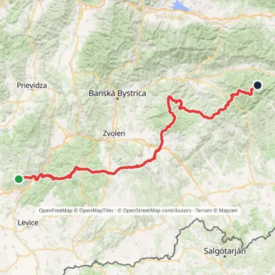 HardMulti-dayMarkedRudná magistrála: Veľký Inovec KadakElevation profile196–1 458 m195.4 kmascent 6 404 munder 1 km from Poľana
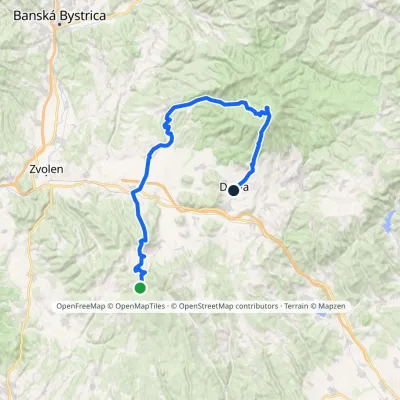 HardMulti-dayMarkedDetva, museum Polomy, junctionElevation profile332–1 318 m55 kmascent 1 410 munder 1 km from Poľana
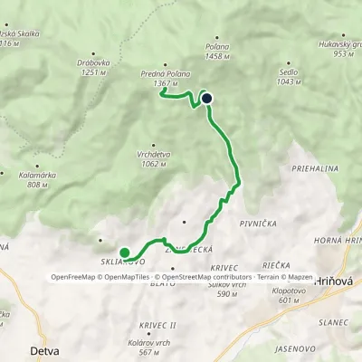 ModerateOne-dayMarkedSkliarovo Mountain Hotel PoľanaElevation profile557–1 259 m9.7 kmascent 699 m≈ 4 h walking1.5 km from Poľana
Nearby attractions
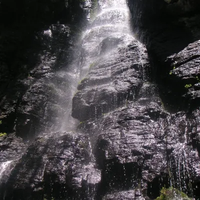 WaterfallBystrô waterfall on the Poľana volcanoHriňová1.7 km from PoľanaThe Bystrý potok waterfall (Vodopád Bystrého potoka), known locally simply as Bystrô or Bystré, is one of the best-known waterfalls in central Slovakia.
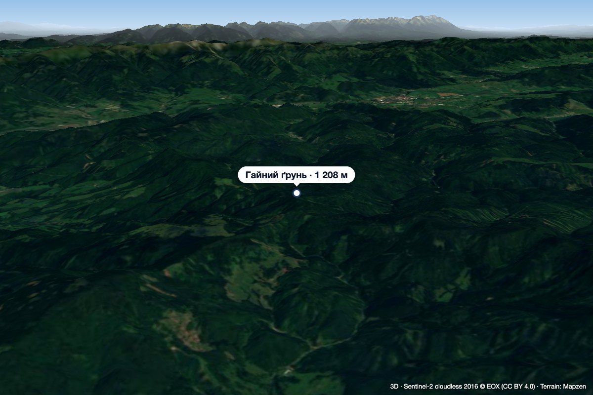 PeakHájny grúňĽubietováaltitude 1 208 m6.1 km from PoľanaHájny grúň is a forested 1208 m summit in the northern part of the Poľana mountains in Central Slovakia.
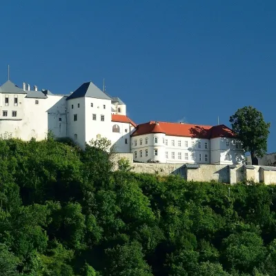 CastleĽupča CastleSlovenská Ľupča21 km from PoľanaĽupča Castle (Ľupčiansky hrad, Hrad Ľupča) rises above the village of Slovenská Ľupča in the Hron valley, about 10 km east of Banská Bystrica.
Craft nearby
All craft places Water parks & thermal poolsBrusno Spa: mineral springs, treatments and Caracalla SpaBrusno18 km from PoľanaBrusno Spa (Kúpele Brusno) lies in the Hron valley (Horehronie), about 20 km north-east of Banská Bystrica, on the northern slopes of the Vepor massif in the Slovak...
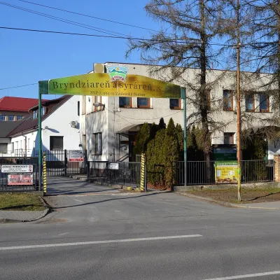 Cheese dairies & pasturesZvolenská Slatina bryndza dairy: the oldest, since 1797Zvolenská Slatina19 km from PoľanaBryndza with more than 220 years behind it Zvolenská Slatina is a large village in the Podpoľanie region, a few kilometres from Zvolen, at the foot of the volcanic...
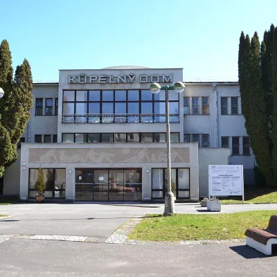 Water parks & thermal poolsSliač spa: warm carbonated water and a thermal swimming areaSliač24 km from PoľanaSliač is a spa in the Zvolen Basin above the Hron valley, between Zvolen and Banská Bystrica. The spa quarter with its 46-hectare park lies on a slope above the former...
 Craft beer & breweriesUrpiner brewery in Banská Bystrica: tour and beer from the tankBanská Bystrica27 km from PoľanaBanská Bystrica is the centre of Central Slovakia and grew rich on copper mining in the 14th–16th centuries.
 Craft shopsÚĽUV Banská Bystrica: folk-craft shop and craft schoolBanská Bystrica27 km from PoľanaÚĽUV (Ústredie ľudovej umeleckej výroby, the Centre for Folk Art Production) is a state institution that has looked after Slovak folk crafts since 1945: it keeps a...
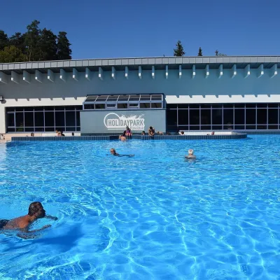 Water parks & thermal poolsKováčová: thermal spa and Holidaypark aquapark near ZvolenKováčová28 km from PoľanaKováčová is a spa village on the south-western edge of the Zvolen Basin, 4 km west of Zvolen at the foot of the Kremnica Mountains; the village centre lies at 303 m.
