Mountain shelter
Andrejcová Hut
Slovakia · Low Tatras range · 1 410 m
Condition
StandingNo hikers’ reports yet. According to open data the hut is open — check its website or call before setting out.
Last edited on the OSM map 11.02.2025
- 1 410 m
- Sleeps up to 30
- Staffed
- Paid overnight stay
Practical info
- Local name: Útulňa Andrejcová
- Opening hours: May 15-Nov 5 sunrise-sunset+
- Contacts: +421904596443 · andrejcova.sk
About
Low Tatras range, about 1 410 m above sea level. 3 of the site’s trails pass nearby, including “Výpad – Andrejcová, hut”.
The hut is staffed. There are about 30 beds. Opening hours according to OpenStreetMap: May 15-Nov 5 sunrise-sunset+. The nearest known spring is 20 m away. Overnight stays here are paid.
On the map
Coordinates: 48.90158, 20.02327
How to get there
Trails nearby
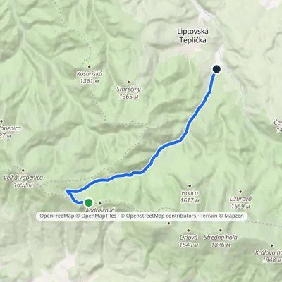 EasyOne-dayMarkedVýpad Andrejcová, hutElevation profile911–1 430 m11.3 kmascent 8 m≈ 3 h walking
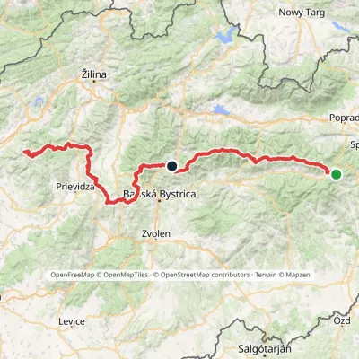 HardMulti-dayMarkedHorná Poruba, U Brdárov Pred ČuntavouElevation profile309–2 004 m241.6 kmascent 15 694 m
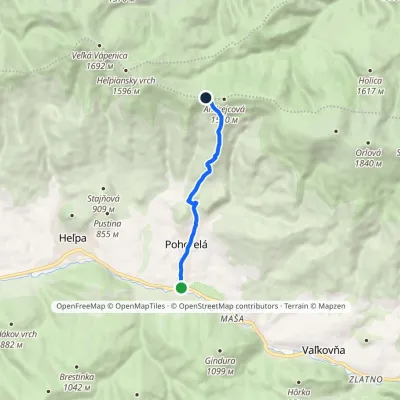 EasyOne-dayMarkedPohorelá, station Útulňa AndrejcováElevation profile678–1 424 m6.5 kmascent 745 m≈ 3 h walking
Report the condition
Been here recently? Tell us what you saw and add photos — your report appears on the page right away with today’s date.
No photos yet — send yours together with a condition report.
