Žarnovica District
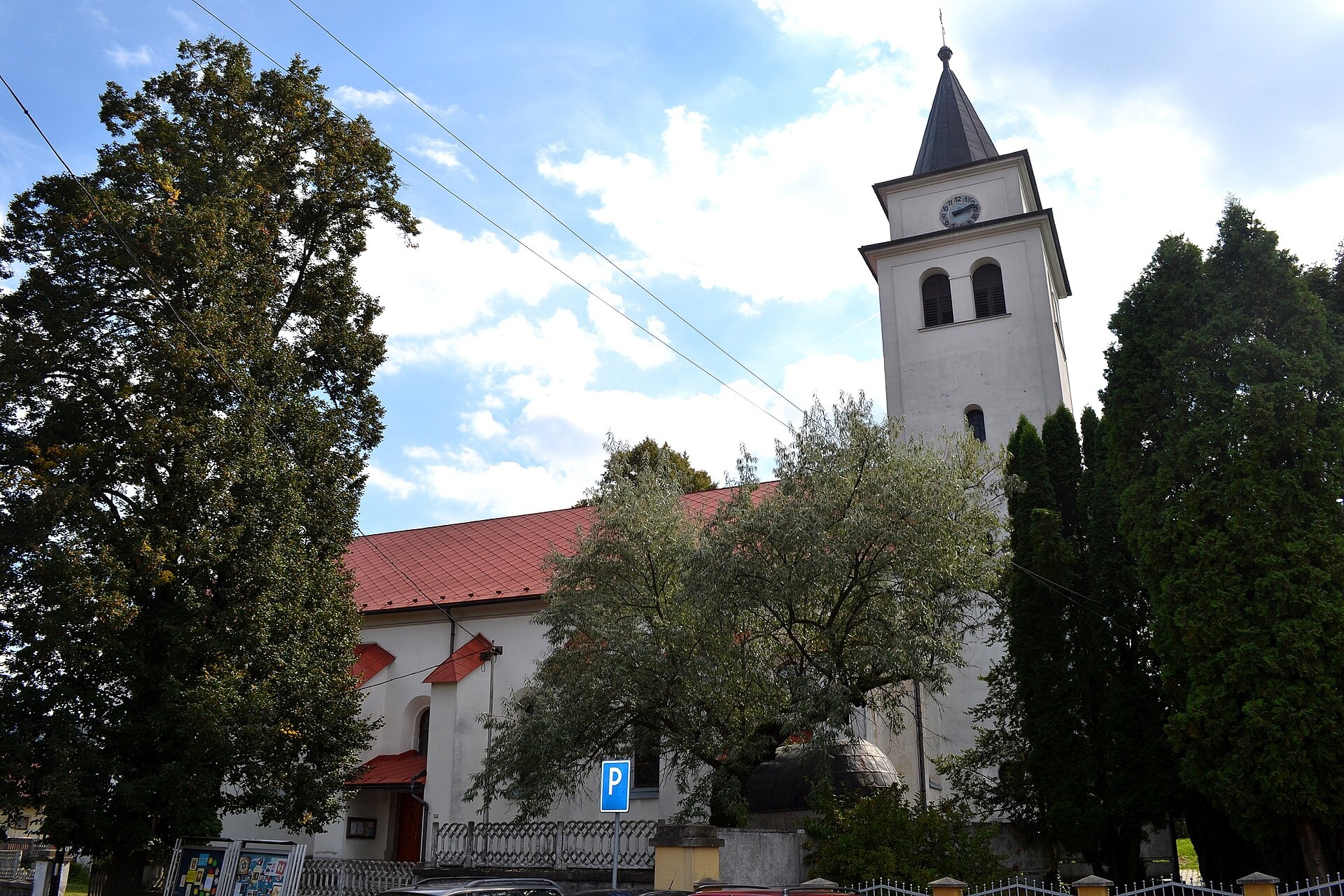
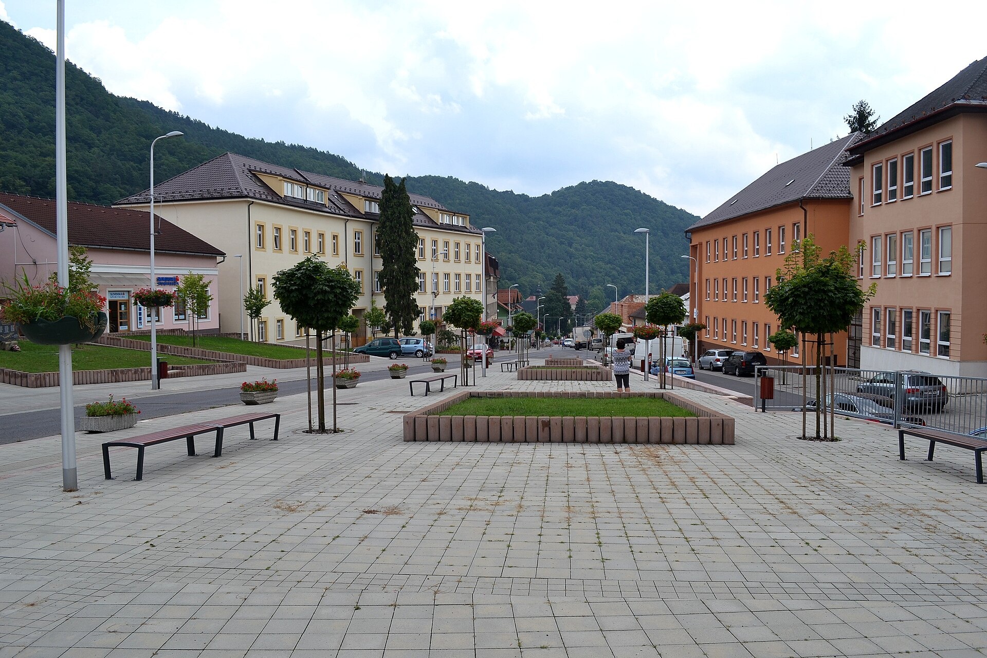
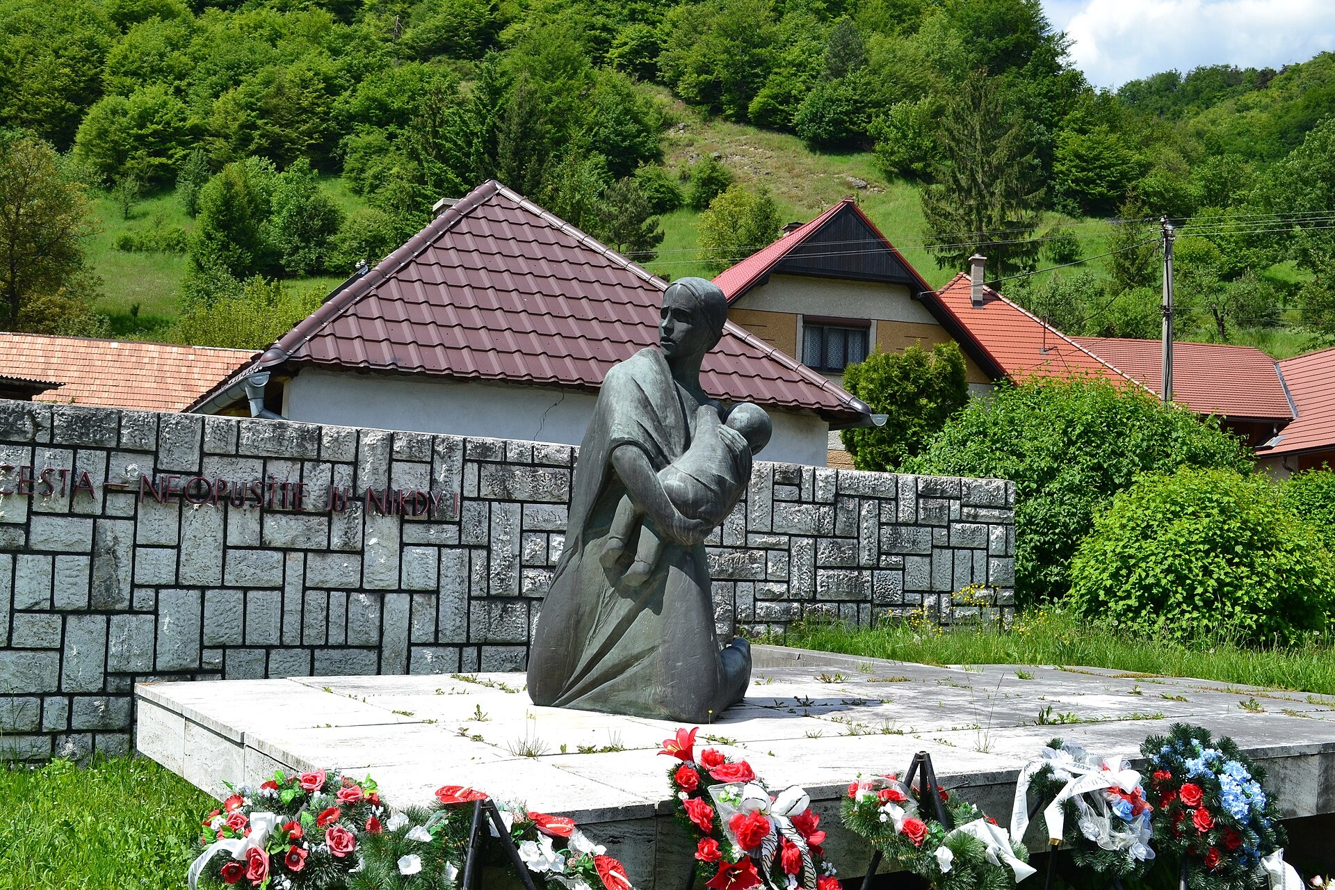
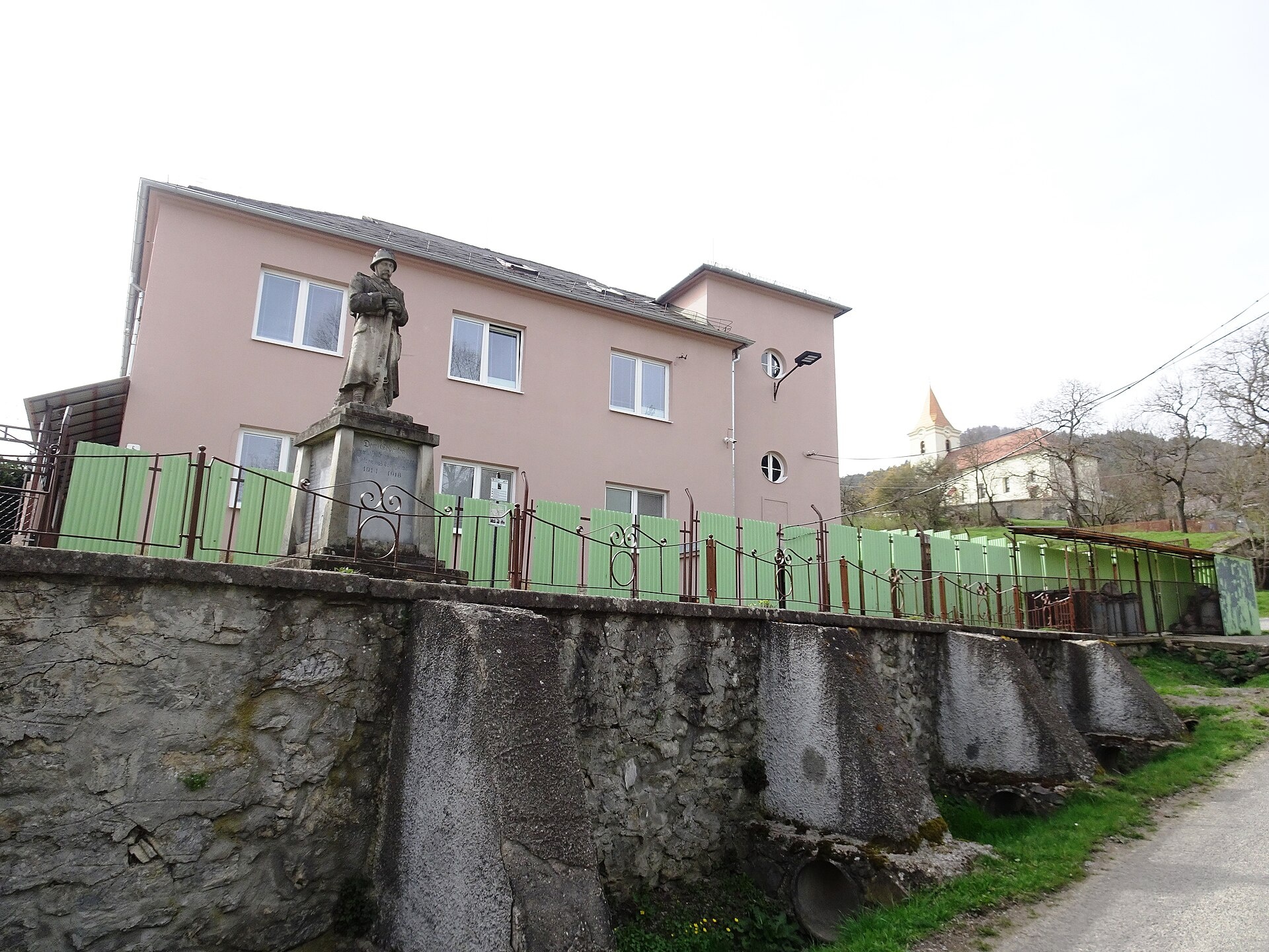
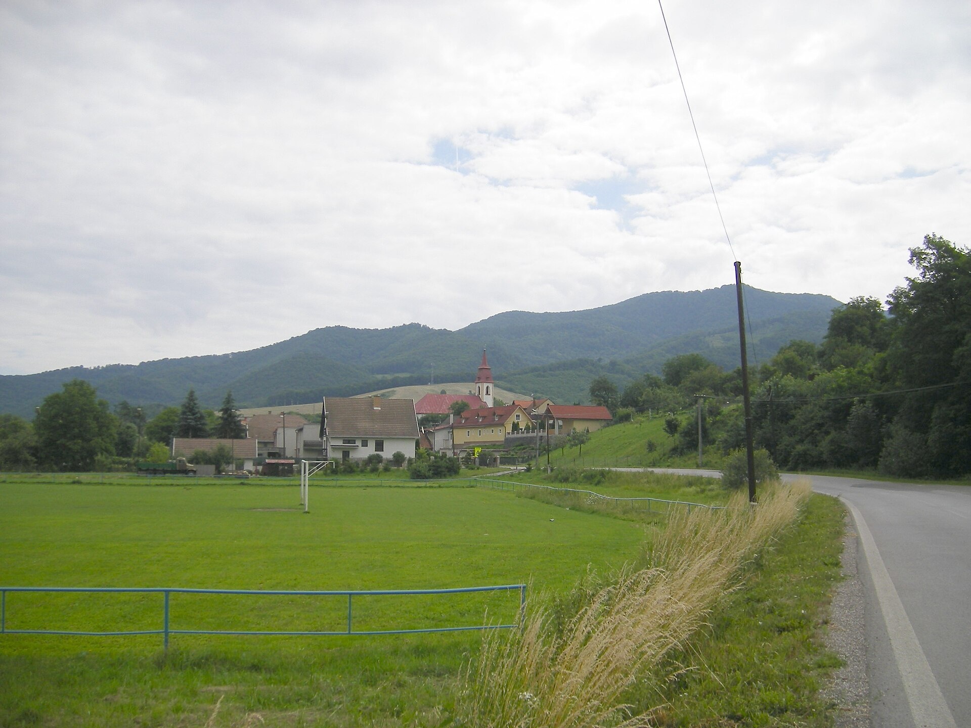
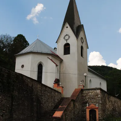
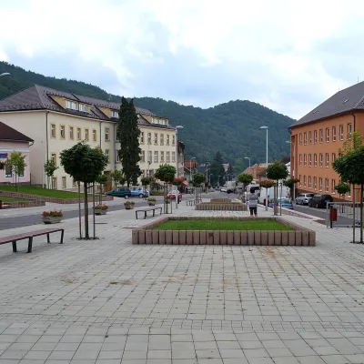
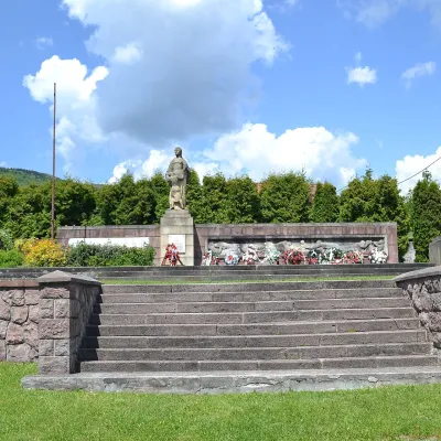
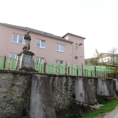
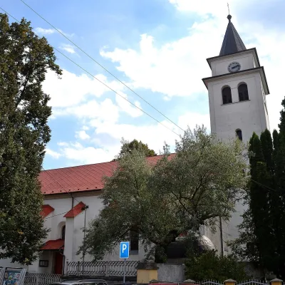
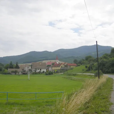
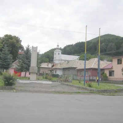
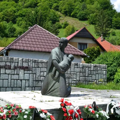
Photos: Žarnovica (Lure, CC BY-SA 4.0); Nová Baňa (Lure, CC BY-SA 4.0); Ostrý Grúň (Jarmila Podzimková-Mračková (sculptor) - cc-by-3.0 Marian Sabo (photo), CC BY-SA 3.0); Veľké Pole (Palickap, CC BY 4.0); Rudno nad Hronom (Szeder László, CC BY-SA 3.0)
Žarnovica District is an administrative district in the Banská Bystrica Region of Slovakia. Its centre is the town of Žarnovica. Until 1918, most of the district belonged to the Hungarian county of Tekov, while part of Hodruša-Hámre was part of the urban county of Banská Štiavnica. The population is predominantly Slovak, with Romani, Czech, and other minorities. The main religion is Catholicism.
The district lies in the foothills of the Western Carpathians and is known for its scenic landscapes, forests, and mountain areas. Traditional settlements remain, and the natural surroundings attract those interested in outdoor activities. The area is noted for its natural resources and tranquil atmosphere.
On karpaty.rocks, the district features numerous objects, with the largest numbers in Hodruša-Hámre, Nová Baňa, Kľak, Veľké Pole, and Žarnovica. Popular trails include the Ponitrianska Magistrála, routes to Kľak, Hodruša Lake, and paths through Vtáčnik and Handlová. Villages such as Rudno nad Hronom, Ostrý Grúň, Orovnica, Píla, Brehy, and Malá Lehota are also highlighted.
Getting there from Ukraine
From Uzhhorod to Brezno ≈274 km, ≈3 h 50 min without queues: Uzhhorod – Vyšné Nemecké → I/19 to Košice → D1 via Prešov and Poprad to the exit near Liptovský Hrádok → I/18 and I/72 over the Čertovica Pass to Brezno. To Banská Bystrica ≈322 km, ≈4 h 30 min: D1 to Ružomberok, then I/59 via Donovaly. From Lviv: to Brezno via Uzhok and Ubľa ≈498 km (≈7 h 45 min) or through Poland ≈554 km (≈7 h 05 min); to Banská Bystrica through Poland (Kraków – Chyżne – Trstená – Dolný Kubín – Ružomberok) ≈535 km, ≈7 h 15 min. The D1 requires an e-vignette (eznamka.sk).
Sources: Wikipedia, Wikidata, OpenStreetMap, Karpaty.rocks data.
What's nearby
Towns and villages
Getting there from Ukraine
Border crossings
- Uzhhorod – Vyšné Nemecké — road, 24/7
- Malyi Bereznyi – Ubľa — road, 24/7 For cars and buses; pedestrians not confirmed by the Ukrainian border service, lorries up to 3.5 t.
- Mali Selmentsi – Veľké Slemence (pedestrian) — pedestrian, 09:00–21:00 Kyiv time Pedestrians and cyclists only; inconvenient for the Tatras without onward transport.
- Chop – Čierna nad Tisou (rail) — rail, 24/7
By car
From Uzhhorod to Brezno ≈274 km, ≈3 h 50 min without queues: Uzhhorod – Vyšné Nemecké → I/19 to Košice → D1 via Prešov and Poprad to the exit near Liptovský Hrádok → I/18 and I/72 over the Čertovica Pass to Brezno. To Banská Bystrica ≈322 km, ≈4 h 30 min: D1 to Ružomberok, then I/59 via Donovaly. From Lviv: to Brezno via Uzhok and Ubľa ≈498 km (≈7 h 45 min) or through Poland ≈554 km (≈7 h 05 min); to Banská Bystrica through Poland (Kraków – Chyżne – Trstená – Dolný Kubín – Ružomberok) ≈535 km, ≈7 h 15 min. The D1 requires an e-vignette (eznamka.sk).
Checked 23.10.2026; border crossing hours and timetables change — check before you travel.
