Nová Baňa
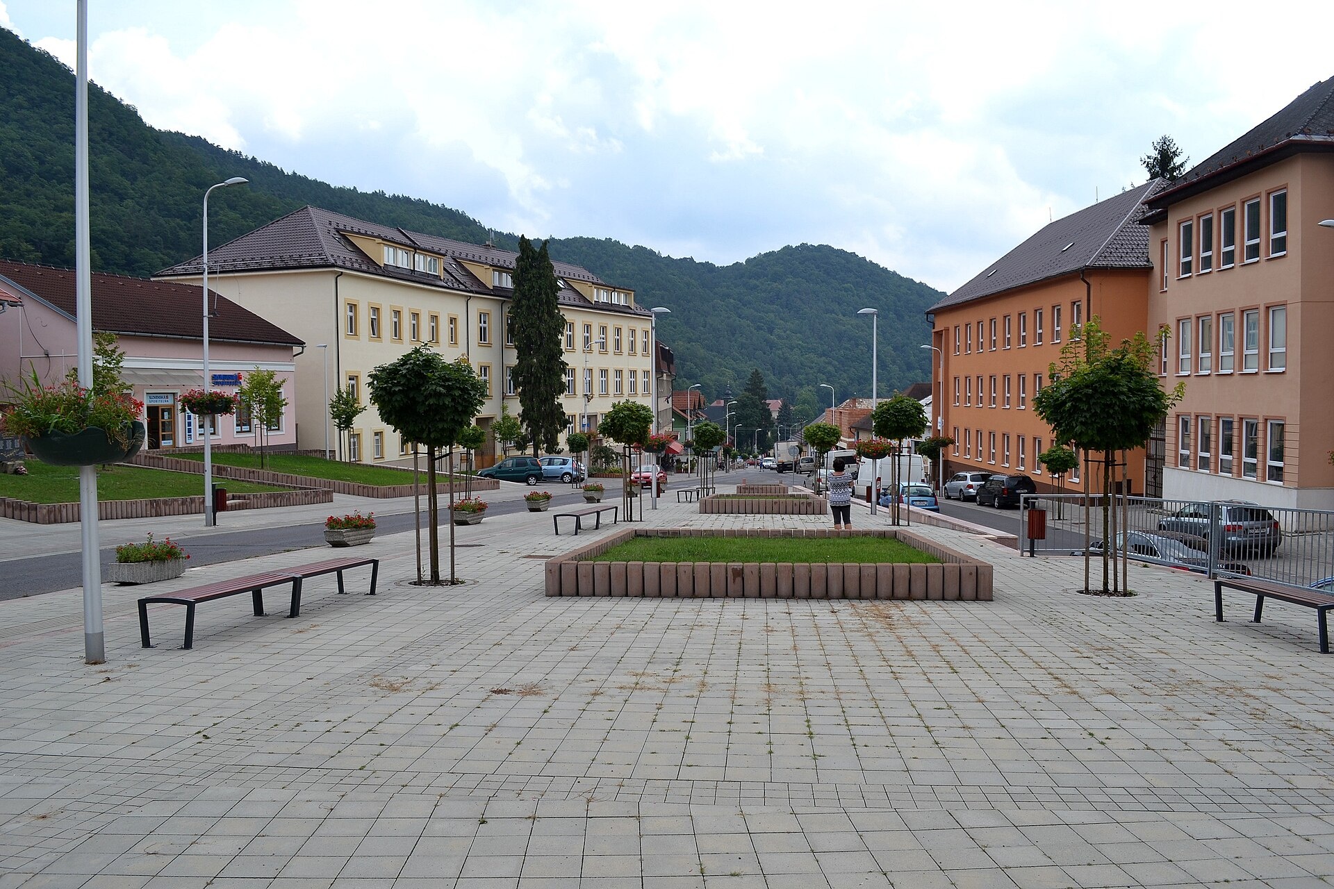
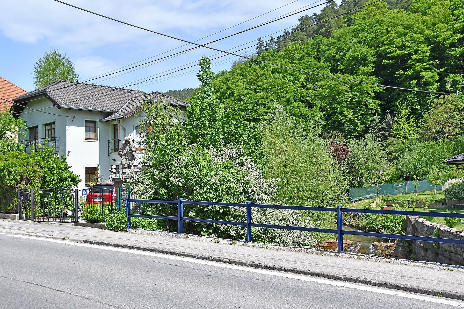
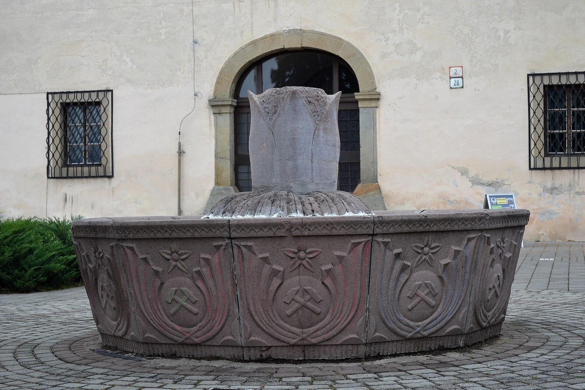
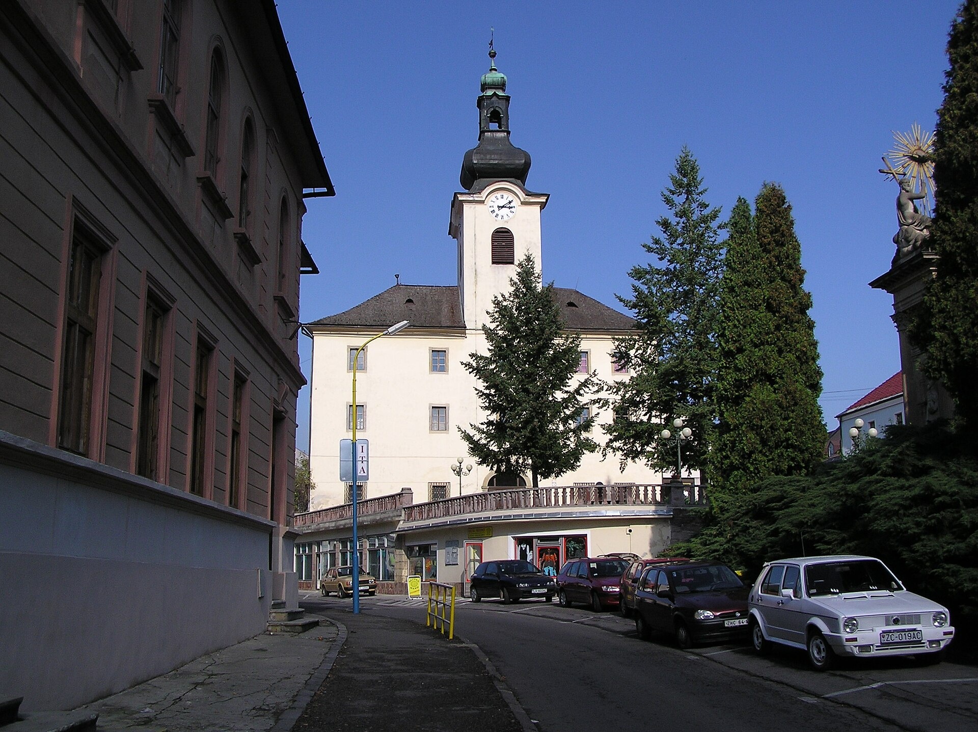
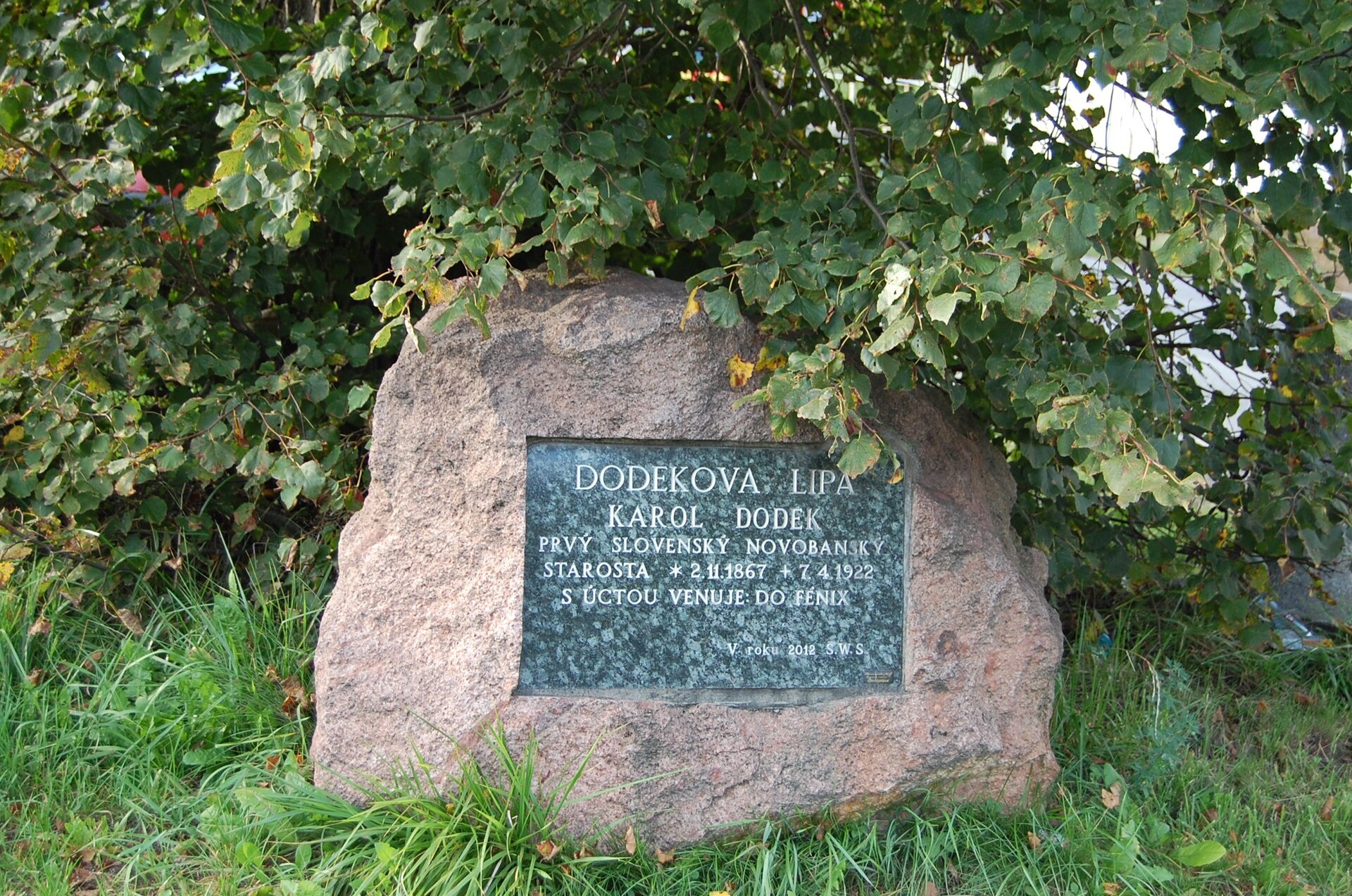
Photos: Lure, CC BY-SA 4.0 (Wikimedia Commons); Pasztilla aka Attila Terbócs, CC BY-SA 4.0 (Wikimedia Commons); Lure, CC BY-SA 4.0 (Wikimedia Commons); User:Mindblocker, Public domain (Wikimedia Commons); Richard, CC0 (Wikimedia Commons); Ing.Mgr.Jozef Kotulič, CC BY-SA 4.0 (Wikimedia Commons)
Nová Baňa is a town in central Slovakia, located in the Žarnovica District of the Banská Bystrica Region. The town sits on the right bank of the Hron River, surrounded by a ring of volcanic mountains: the Štiavnica Mountains to the east, Pohronský Inovec to the southwest, and Vtáčnik to the northwest. Nová Baňa lies at an elevation of 442 metres and is traversed by the Novobanský stream.
The first written mention of Nová Baňa dates back to 1337. The town developed on the site of the old Slavonic hillfort Zámčisko, built atop an even older Hallstatt fortification. In 1345, Nová Baňa became a "free royal mining town". The discovery of gold and silver attracted settlers from Kremnica, Pukanec, and German colonists. Mining declined at the end of the 19th century.
Nová Baňa is known for its mining history and scenic mountain setting. Nearby, close to the village of Tekovská Breznica, is Putikov vŕšok, the youngest volcano in Central Europe. The area features a mix of forested slopes, mountain massifs, and river valleys. The climate is warm, with long summers and short winters. Notable natives include footballers Marek Bakoš and Adam Grdina, as well as Catholic bishop Dávid Tencer.
Visitors can use Nová Baňa as a base for exploring the surrounding mountains and valleys. Numerous hiking trails start here, such as "Nová Baňa – sedlo Kuchyňa", "Motorest Zubor – Stará Huta", "Rudná magistrála: Zlaté Moravce – Veľký Inovec", and "Tlmače – Hodruša-Hámre, Sandrik". Nature lovers can reach the tourist hut on Veľký Inovec or explore routes to Hodruša Lake and the Osná Valley. The town is also of interest to those keen on mining history and the region's cultural heritage.
Getting there from Ukraine
From Uzhhorod to Brezno ≈274 km, ≈3 h 50 min without queues: Uzhhorod – Vyšné Nemecké → I/19 to Košice → D1 via Prešov and Poprad to the exit near Liptovský Hrádok → I/18 and I/72 over the Čertovica Pass to Brezno. To Banská Bystrica ≈322 km, ≈4 h 30 min: D1 to Ružomberok, then I/59 via Donovaly. From Lviv: to Brezno via Uzhok and Ubľa ≈498 km (≈7 h 45 min) or through Poland ≈554 km (≈7 h 05 min); to Banská Bystrica through Poland (Kraków – Chyżne – Trstená – Dolný Kubín – Ružomberok) ≈535 km, ≈7 h 15 min. The D1 requires an e-vignette (eznamka.sk).
Sources: Wikipedia, Wikidata, OpenStreetMap, Karpaty.rocks data. More on Wikipedia
Trails nearby
All trails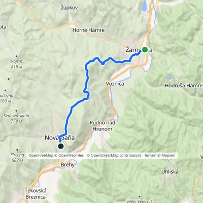 ModerateOne-dayMarkedNová Baňa ŽarnovicaElevation profile219–677 m13.8 kmascent 533 m≈ 4.5 h walkingunder 1 km from the centre
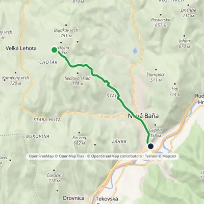 EasyOne-dayMarkedNová Baňa Sedlo KuchyňaElevation profile205–722 m7.9 kmascent 33 m≈ 2 h walkingunder 1 km from the centre
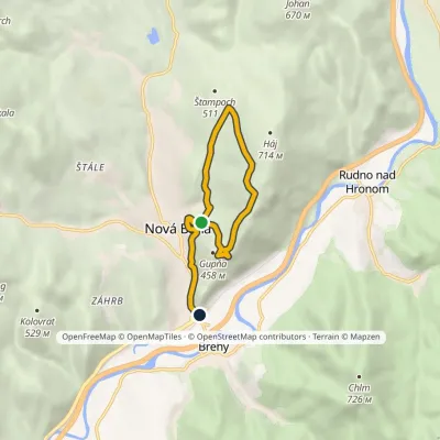 EasyOne-dayMarkedNová Baňa, trail No. 8419Elevation profile205–646 m8.3 kmascent 295 m≈ 2.5 h walkingunder 1 km from the centre
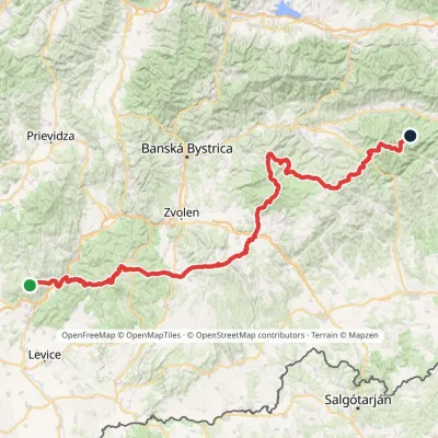 HardMulti-dayMarkedRudná magistrála: Veľký Inovec KadakElevation profile196–1 458 m195.4 kmascent 6 404 munder 1 km from the centre
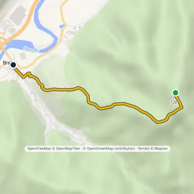 EasyOne-dayMarkedChlm BrehyElevation profile202–726 m3.4 km≈ 45 min walking2.1 km from the centre
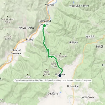 ModerateOne-dayMarkedRudno nad Hronom PukanecElevation profile214–726 m12.7 kmascent 746 m≈ 4.5 h walking3 km from the centre
Peaks nearby
All peaks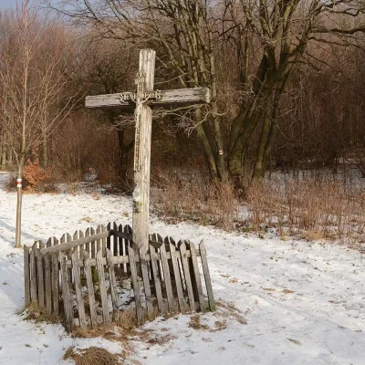 PeakVeľký InovecTekovské Nemcealtitude 900 m7.4 km from the centreVeľký Inovec is the highest summit of the Pohronský Inovec mountains in Slovakia, at 900 m. It lies in the central part of the range, on the main ridge, in the Nitra...
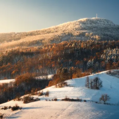 PeakSitnoIlijaaltitude 1 009 m18 km from the centre1 trail to the topSitno (Hungarian Szitnya) is the highest peak of the Štiavnica Mountains at 1,009 m, close to the historic mining town of Banská Štiavnica in central Slovakia.
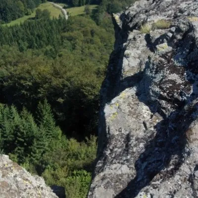 PeakBuchlov (Vtáčnik)Čereňanyaltitude 1 040 m21 km from the centreBuchlov is a prominent rocky peak, 1,040 m high, in the Vtáčnik mountains of central Slovakia. It should not be confused with the castle hill of the same name in the...
What to visit
All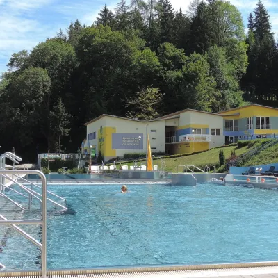 Water parks & thermal poolsVodný raj thermal pools in VyhneVyhne14 km from the centreVodný raj Vyhne ("Water Paradise") is a public pool complex with thermal water in the village of Vyhne, in a quiet wooded valley of the Štiavnické vrchy hills near the...
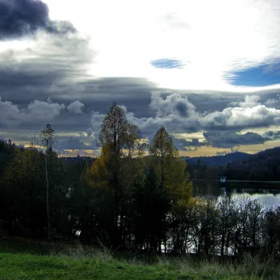 LakeThe Štiavnica tajchy – historic mining lakes of Banská ŠtiavnicaŠtiavnické Bane15 km from the centreThe Štiavnica tajchy are a system of historic artificial lakes in the Štiavnica Mountains (Štiavnické vrchy) around the mining town of Banská Štiavnica in central...
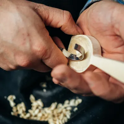 Crafts & workshopsDo dielne, Počúvadlo: woodcarving courses near Banská ŠtiavnicaPočúvadlo16 km from the centreHere, in the quiet among the hills, works the small workshop Do dielne (“To the workshop”). Its owner Dušan Budinský ran a hairdresser’s in Bratislava for eight years,...
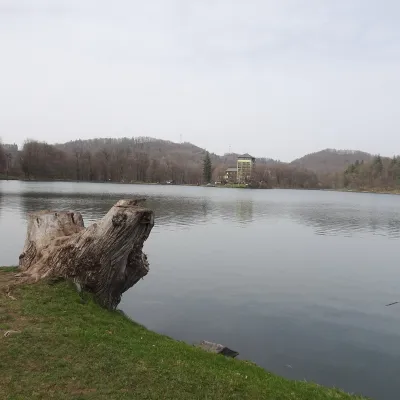 LakePočúvadlo — historic mining lake below SitnoBanská Štiavnica16 km from the centrePočúvadlo (Počúvadlianske jazero) is the largest of the Štiavnica tajchs — historic artificial ponds built by the miners of Banská Štiavnica to drive the machinery of...
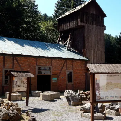 MuseumOpen-Air Mining Museum, Banská ŠtiavnicaBanská Štiavnica18 km from the centreThe Open-Air Mining Museum (Banské múzeum v prírode) in Banská Štiavnica is the oldest and thematically broadest mining exhibition in Slovakia.
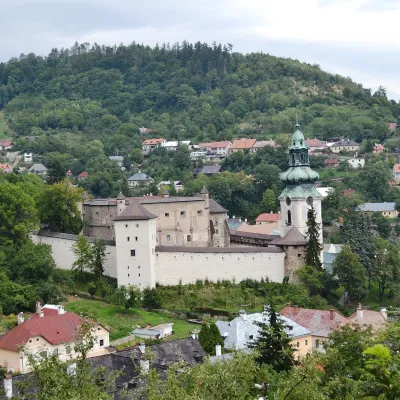 MuseumOld Castle in Banská ŠtiavnicaBanská Štiavnica19 km from the centreThe Old Castle (Starý zámok, officially Mestský hrad — Town Castle) is one of the oldest buildings of Banská Štiavnica, a mining town on the UNESCO World Heritage List.
Craft nearby
All craft places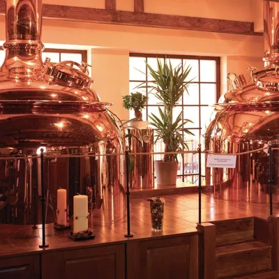 Craft beer & breweriesERB brewery in Banská Štiavnica: brewery tour and tastingBanská Štiavnica19 km from the centreBanská Štiavnica is an old mining town in the caldera of an extinct volcano and a UNESCO World Heritage site.
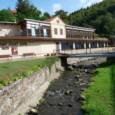 Water parks & thermal poolsSklené Teplice: Parenica cave steam bath and thermal bathsSklené Teplice20 km from the centreSklené Teplice is a small spa in a wooded valley of the Štiavnické vrchy hills, a few kilometres from the Hron valley and about 8 km from Banská Štiavnica.
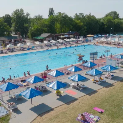 Water parks & thermal poolsMargita-Ilona thermal swimming area near LeviceLevice26 km from the centreMargita-Ilona is a summer swimming area with thermal water 6 km from the town of Levice towards Šahy, in the Kalinčiakovo part of the town.
Spas and thermal pools nearby
Water parks & thermal poolsVodný raj thermal pools in VyhneVyhne14 km from the centreVodný raj Vyhne ("Water Paradise") is a public pool complex with thermal water in the village of Vyhne, in a quiet wooded valley of the Štiavnické vrchy hills near the...Water parks & thermal poolsSklené Teplice: Parenica cave steam bath and thermal bathsSklené Teplice20 km from the centreSklené Teplice is a small spa in a wooded valley of the Štiavnické vrchy hills, a few kilometres from the Hron valley and about 8 km from Banská Štiavnica.Water parks & thermal poolsMargita-Ilona thermal swimming area near LeviceLevice26 km from the centreMargita-Ilona is a summer swimming area with thermal water 6 km from the town of Levice towards Šahy, in the Kalinčiakovo part of the town.Huts, shelters and springs nearby
Getting there from Ukraine
Border crossings
- Uzhhorod – Vyšné Nemecké — road, 24/7
- Malyi Bereznyi – Ubľa — road, 24/7 For cars and buses; pedestrians not confirmed by the Ukrainian border service, lorries up to 3.5 t.
- Mali Selmentsi – Veľké Slemence (pedestrian) — pedestrian, 09:00–21:00 Kyiv time Pedestrians and cyclists only; inconvenient for the Tatras without onward transport.
- Chop – Čierna nad Tisou (rail) — rail, 24/7
By car
From Uzhhorod to Brezno ≈274 km, ≈3 h 50 min without queues: Uzhhorod – Vyšné Nemecké → I/19 to Košice → D1 via Prešov and Poprad to the exit near Liptovský Hrádok → I/18 and I/72 over the Čertovica Pass to Brezno. To Banská Bystrica ≈322 km, ≈4 h 30 min: D1 to Ružomberok, then I/59 via Donovaly. From Lviv: to Brezno via Uzhok and Ubľa ≈498 km (≈7 h 45 min) or through Poland ≈554 km (≈7 h 05 min); to Banská Bystrica through Poland (Kraków – Chyżne – Trstená – Dolný Kubín – Ružomberok) ≈535 km, ≈7 h 15 min. The D1 requires an e-vignette (eznamka.sk).
Checked 23.10.2026; border crossing hours and timetables change — check before you travel.
