The Štiavnica tajchy – historic mining lakes of Banská Štiavnica
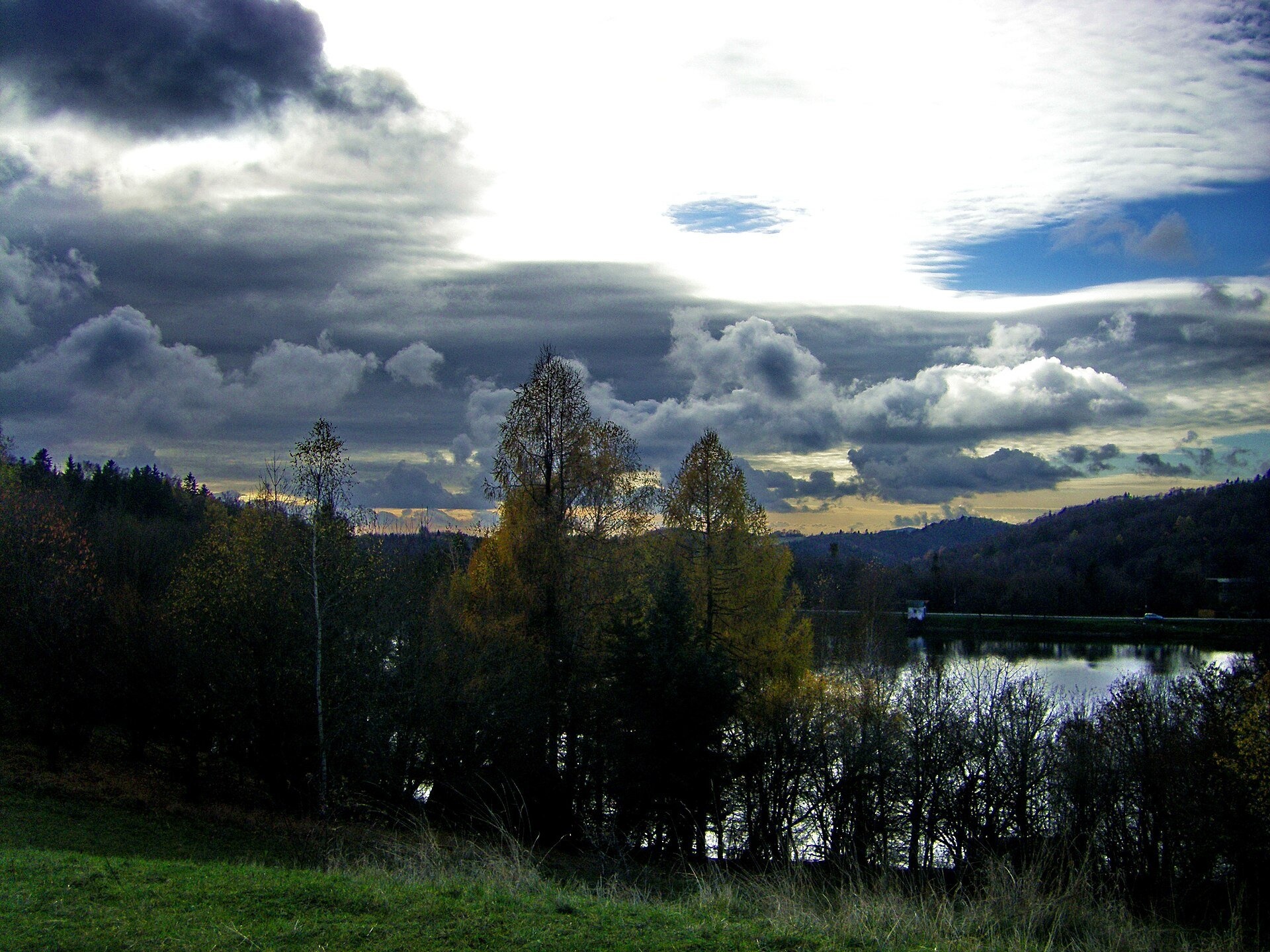
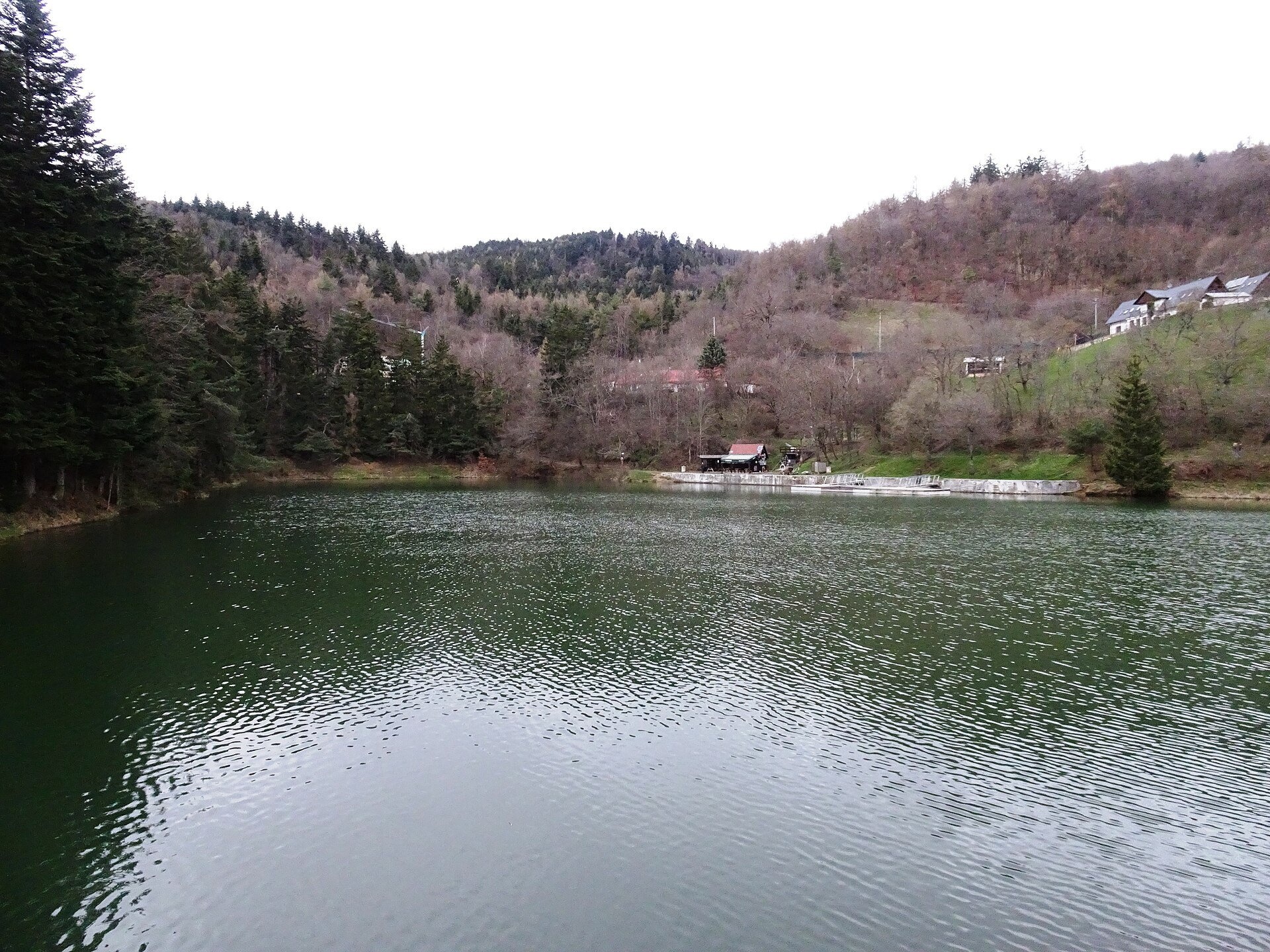
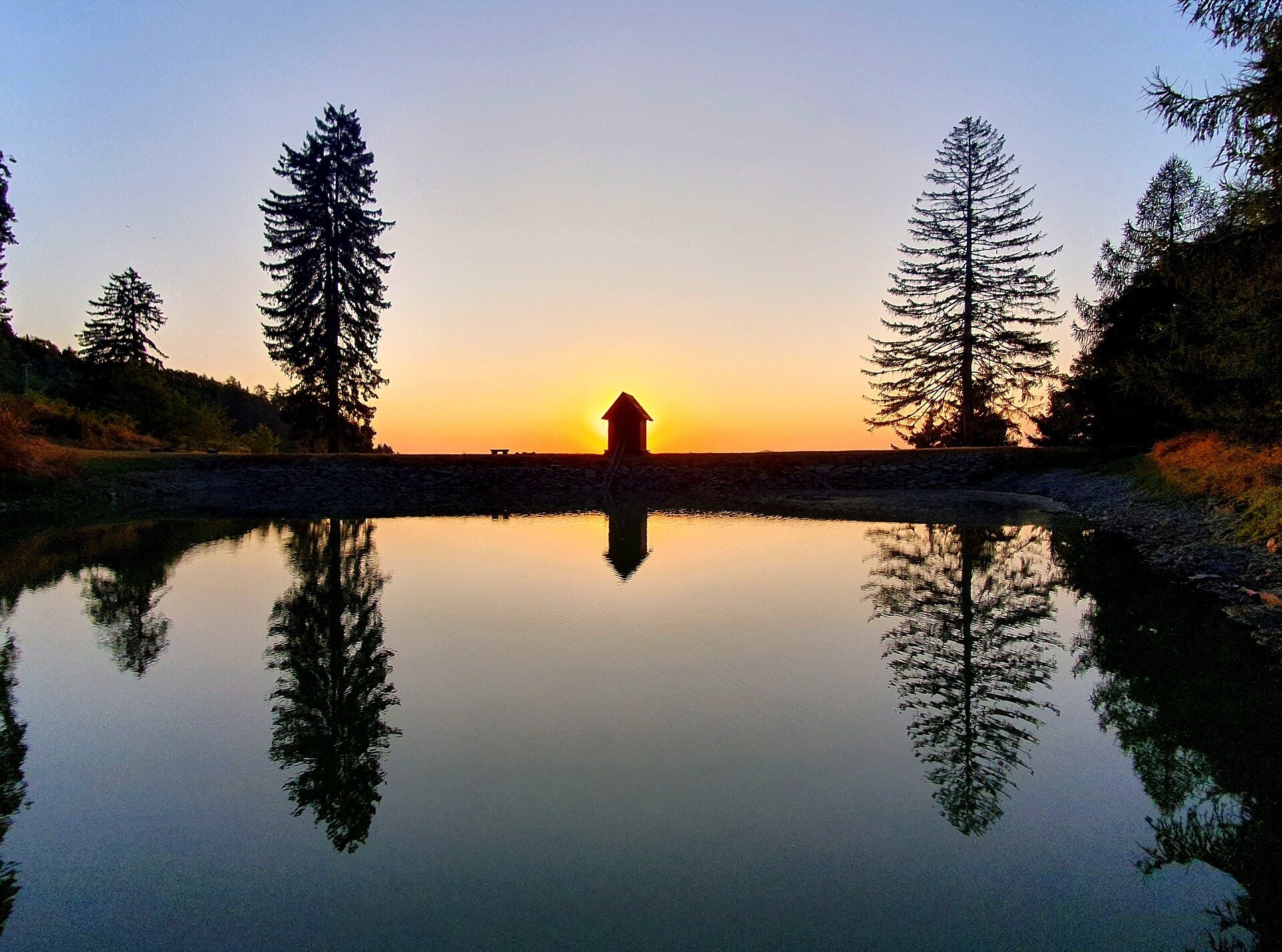
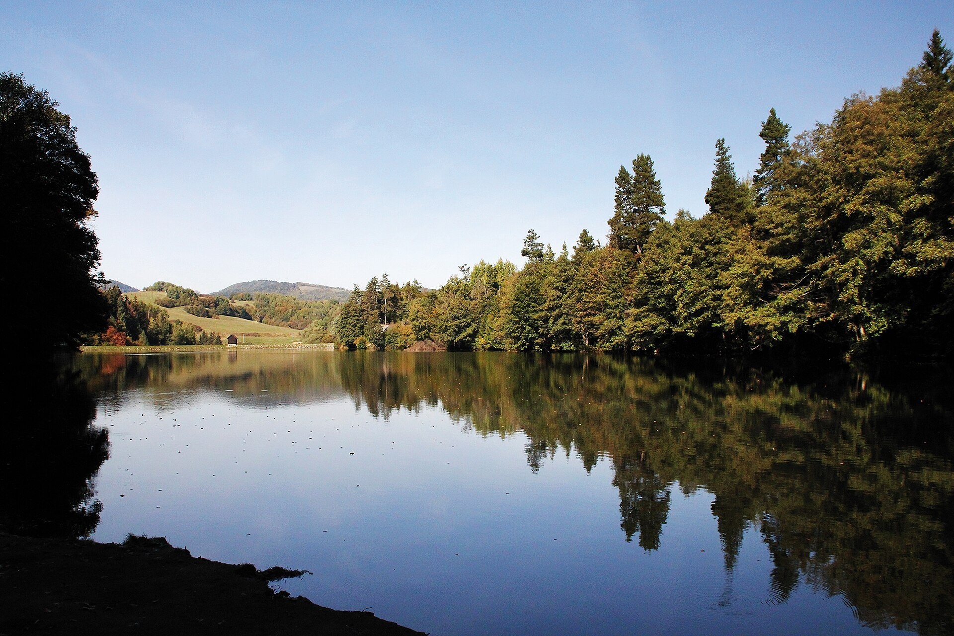
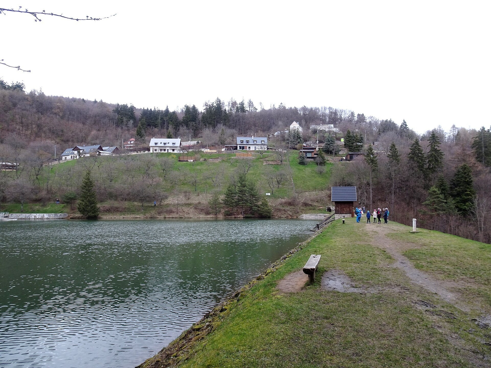
The Štiavnica tajchy are a system of historic artificial lakes in the Štiavnica Mountains (Štiavnické vrchy) around the mining town of Banská Štiavnica in central Slovakia. The name comes from the German Teich, "pond". They were built to collect rain and snowmelt and use it to drive mine pumps, hoists, ore stamps, forges and the bellows of smelting furnaces: there are no large rivers nearby – the nearest, the Hron, flows more than 10 km away. At its peak the system had about 60 reservoirs with a total volume of 7 million m³, fed by 72 km of collecting ditches and 57 km of supply ditches; some reservoirs were linked by canals and water adits. Today only about 25 tajchy still work – used for recreation, fishing and water supply – and on 11 December 1993 they were inscribed, together with the other technical monuments of the area, on the UNESCO World Heritage List.
Miners founded the first reservoirs as early as the 15th century, and the system flourished in the first half of the 18th century. After 1627, when gunpowder was used in mining in Banská Štiavnica for the first time in the world, the shafts quickly went deeper than the drainage adits and began to flood; in a single mine more than 200 pairs of horses were pumping out the water. The tajch system was proposed by Matej Kornel Hell, his son Jozef Karol Hell and Samuel Mikovíni. The largest project was the Richňava tajchy: in 1738–1740 about 4,000 people worked on it every day (on 9 July 1740 as many as 5,283), and the reservoir, holding more than a million cubic metres, became the largest water structure in the world at the time. Because of seepage it was split by a cross dam in 1746 into Veľká and Malá Richňava. In the mid-19th century seven of the thirteen largest mining reservoirs in Europe were still tajchy, and the three highest mining dams on the continent stood at Rozgrund (30.2 m), Počúvadlo (29.6 m) and Veľká Richňava (23.4 m). Since 1995 the tajchy have been cared for by the Slovak Water Management Enterprise, which has reconstructed most of the dams.
What to see and do
- Veľká Richňava (Veľké Richnavské jazero) – the deepest (21 m) and largest (960,000 m³) tajch, with a dam 569 m long. In summer people swim and do water sports here and divers run courses; the lake is also a fishing ground. Its water once flowed under the Peciny divide through the Main Richňava water adit – the longest in the system.
- The Piarg tajchy near Štiavnické Bane – the largest group, holding about half of the total volume: the cascade of Bakomi, Veľká Vindšachta and Evička.
- Rozgrund (Štiavnické jazero) – Samuel Mikovíni's tajch of 1743–1744; until the Meurad dam was built in Algeria (1855–1859) it was considered the boldest reservoir in the world. Today it supplies Banská Štiavnica with drinking water.
- Klinger and Ottergrund – smaller tajchy right on the edge of Banská Štiavnica, while the best-known and most popular is Počúvadlo — historic mining lake below Sitno.
How to get there
Buses run to Banská Štiavnica and Štiavnické Bane; by the Richňava lakes there is the "Štiavnické Bane, Richnava, rázcestie" stop on the Peciny saddle. According to the administration of the Štiavnické vrchy Protected Landscape Area, the "Horná Roveň – Richnavské jazero" educational trail from the former Roveň shaft via Malý Tanád and Kanderka to the Peciny saddle is 4.7 km long with 110 m of ascent, takes about 2 hours and is undemanding; it ends 200–500 m above the lakes. Marked trails also pass the tajchy – the Andrej Kmeť Trail and the Rudná magistrála: Veľký Inovec – Kadak. Local roads lead to many of the tajchy, and walks along the dams are manageable for families with children too.
Season and safety
The tajchy are beautiful all year, but the swimming season is July and August; the water in these mountain reservoirs is cool and the depth near the dams is great, so swim only where it is allowed and watch children. Follow the local signs at each tajch. The whole area belongs to the Štiavnické vrchy Protected Landscape Area: do not drive off roads and do not light fires outside designated places. Emergency number – 112. Information as of October 2026.
Nearby
In Banská Štiavnica are the Open-Air Mining Museum, Banská Štiavnica and the Old Castle in Banská Štiavnica; 2 km from Richňava is Počúvadlo — historic mining lake below Sitno.
Official website: sopsr.sk
Photos: Michal Hruška, CC BY-SA 3.0, Wikimedia Commons; Palickap, CC BY 4.0, Wikimedia Commons; Martingazak, CC BY-SA 4.0, Wikimedia Commons; Martin Babarik, CC BY-SA 3.0, Wikimedia Commons.
Getting there from Ukraine
Border crossings
- Uzhhorod – Vyšné Nemecké — road, 24/7
- Malyi Bereznyi – Ubľa — road, 24/7 For cars and buses; pedestrians not confirmed by the Ukrainian border service, lorries up to 3.5 t.
- Mali Selmentsi – Veľké Slemence (pedestrian) — pedestrian, 09:00–21:00 Kyiv time Pedestrians and cyclists only; inconvenient for the Tatras without onward transport.
- Chop – Čierna nad Tisou (rail) — rail, 24/7
By car
From Uzhhorod to Brezno ≈274 km, ≈3 h 50 min without queues: Uzhhorod – Vyšné Nemecké → I/19 to Košice → D1 via Prešov and Poprad to the exit near Liptovský Hrádok → I/18 and I/72 over the Čertovica Pass to Brezno. To Banská Bystrica ≈322 km, ≈4 h 30 min: D1 to Ružomberok, then I/59 via Donovaly. From Lviv: to Brezno via Uzhok and Ubľa ≈498 km (≈7 h 45 min) or through Poland ≈554 km (≈7 h 05 min); to Banská Bystrica through Poland (Kraków – Chyżne – Trstená – Dolný Kubín – Ružomberok) ≈535 km, ≈7 h 15 min. The D1 requires an e-vignette (eznamka.sk).
Checked 23.10.2026; border crossing hours and timetables change — check before you travel.
Location on the map
Comments
Trails nearby
All trails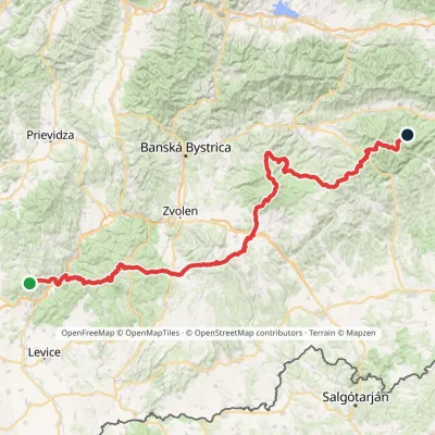 HardMulti-dayMarkedRudná magistrála: Veľký Inovec KadakElevation profile196–1 458 m195.4 kmascent 6 404 munder 1 km from The Štiavnica tajchy – historic mining lakes of Banská Štiavnica
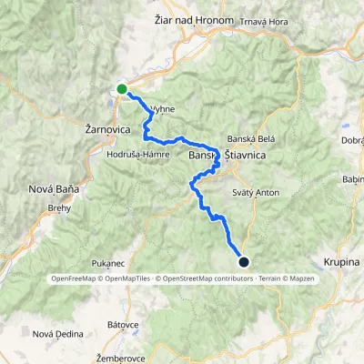 HardMulti-dayMarkedAndrej Kmeť TrailElevation profile231–1 011 m39.6 kmascent 1 216 m≈ 12.5 h walkingunder 1 km from The Štiavnica tajchy – historic mining lakes of Banská Štiavnica
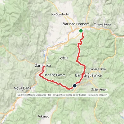 HardMulti-dayMarkedŽarnovica, station Žiar nad Hronom, stationElevation profile210–940 m42.1 kmascent 2 364 munder 1 km from The Štiavnica tajchy – historic mining lakes of Banská Štiavnica
Nearby attractions
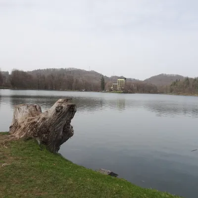 LakePočúvadlo — historic mining lake below SitnoBanská Štiavnica2.2 km from The Štiavnica tajchy – historic mining lakes of Banská ŠtiavnicaPočúvadlo (Počúvadlianske jazero) is the largest of the Štiavnica tajchs — historic artificial ponds built by the miners of Banská Štiavnica to drive the machinery of...
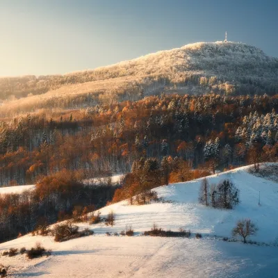 PeakSitnoIlijaaltitude 1 009 m3.5 km from The Štiavnica tajchy – historic mining lakes of Banská ŠtiavnicaSitno (Hungarian Szitnya) is the highest peak of the Štiavnica Mountains at 1,009 m, close to the historic mining town of Banská Štiavnica in central Slovakia.
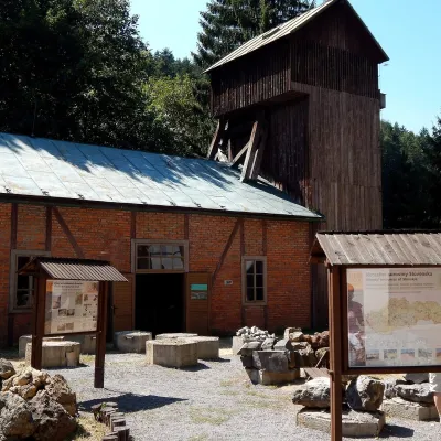 MuseumOpen-Air Mining Museum, Banská ŠtiavnicaBanská Štiavnica4 km from The Štiavnica tajchy – historic mining lakes of Banská ŠtiavnicaThe Open-Air Mining Museum (Banské múzeum v prírode) in Banská Štiavnica is the oldest and thematically broadest mining exhibition in Slovakia.
Craft nearby
All craft places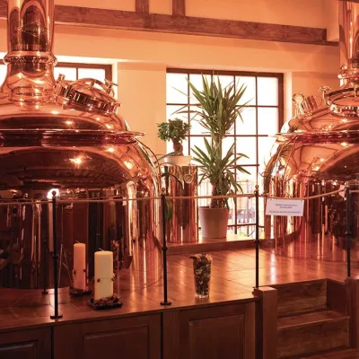 Craft beer & breweriesERB brewery in Banská Štiavnica: brewery tour and tastingBanská Štiavnica4.8 km from The Štiavnica tajchy – historic mining lakes of Banská ŠtiavnicaBanská Štiavnica is an old mining town in the caldera of an extinct volcano and a UNESCO World Heritage site.
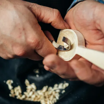 Crafts & workshopsDo dielne, Počúvadlo: woodcarving courses near Banská ŠtiavnicaPočúvadlo6.8 km from The Štiavnica tajchy – historic mining lakes of Banská ŠtiavnicaHere, in the quiet among the hills, works the small workshop Do dielne (“To the workshop”). Its owner Dušan Budinský ran a hairdresser’s in Bratislava for eight years,...
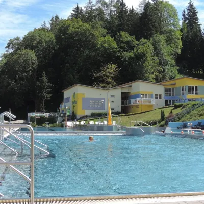 Water parks & thermal poolsVodný raj thermal pools in VyhneVyhne9.6 km from The Štiavnica tajchy – historic mining lakes of Banská ŠtiavnicaVodný raj Vyhne ("Water Paradise") is a public pool complex with thermal water in the village of Vyhne, in a quiet wooded valley of the Štiavnické vrchy hills near the...
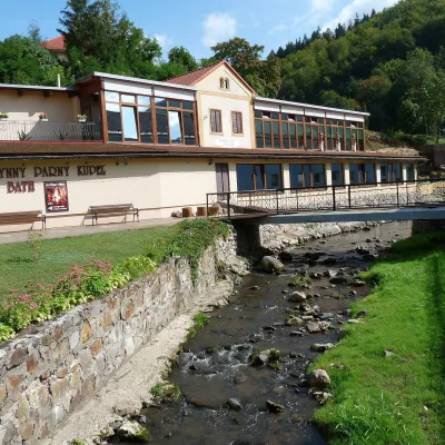 Water parks & thermal poolsSklené Teplice: Parenica cave steam bath and thermal bathsSklené Teplice11 km from The Štiavnica tajchy – historic mining lakes of Banská ŠtiavnicaSklené Teplice is a small spa in a wooded valley of the Štiavnické vrchy hills, a few kilometres from the Hron valley and about 8 km from Banská Štiavnica.
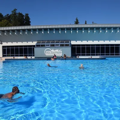 Water parks & thermal poolsKováčová: thermal spa and Holidaypark aquapark near ZvolenKováčová28 km from The Štiavnica tajchy – historic mining lakes of Banská ŠtiavnicaKováčová is a spa village on the south-western edge of the Zvolen Basin, 4 km west of Zvolen at the foot of the Kremnica Mountains; the village centre lies at 303 m.
 Water parks & thermal poolsDudince spa: carbon dioxide–sulphur water and the Roman BathsDudince29 km from The Štiavnica tajchy – historic mining lakes of Banská ŠtiavnicaDudince is the smallest town in Slovakia (about 1,400 inhabitants) and the southernmost Slovak spa. It lies at 144 m in the valley of the Štiavnica stream, where the...
