Sitno
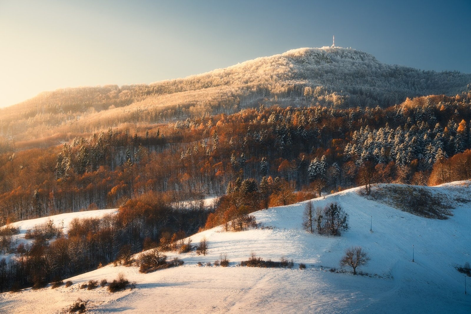
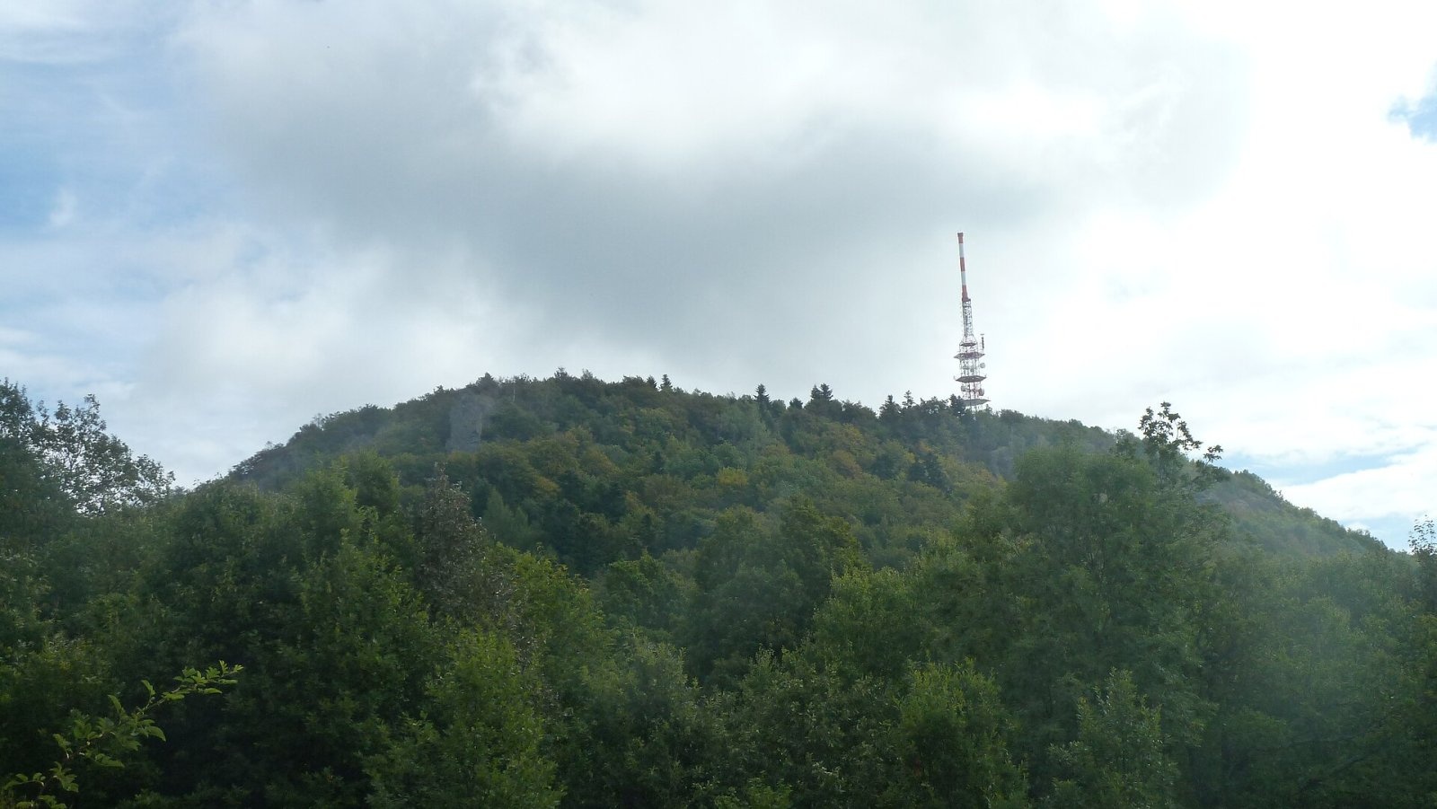
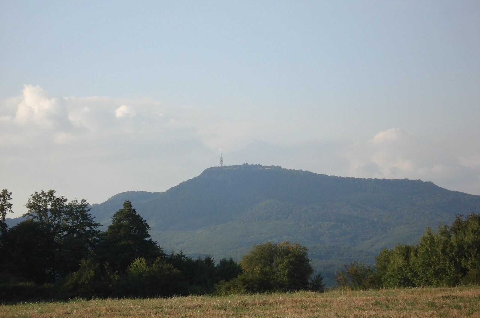
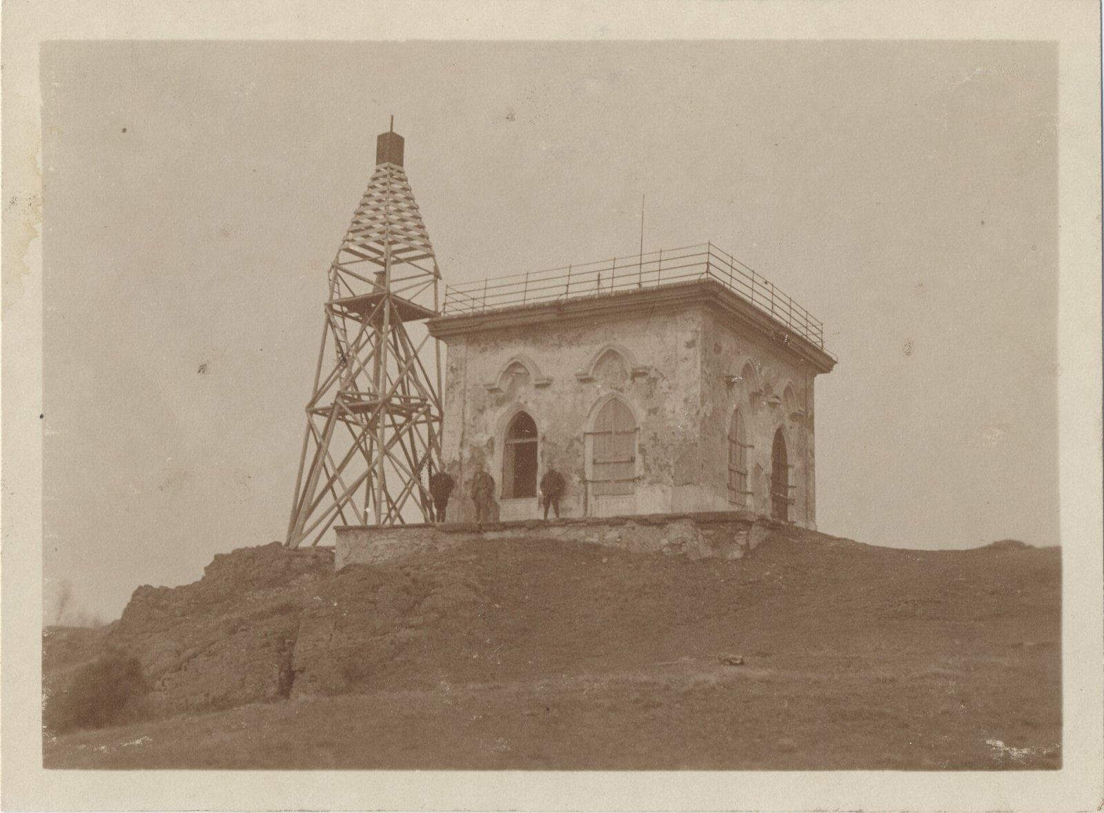
Sitno (Hungarian Szitnya) is the highest peak of the Štiavnica Mountains at 1,009 m, close to the historic mining town of Banská Štiavnica in central Slovakia. It stands in the cadastre of the village of Ilija in the Banská Bystrica Region and dominates the landscape: on clear days it can be seen even from the Hungarian Mátra and Börzsöny. Sitno is regarded as the cradle of European mountain tourism: one of the first hiking clubs was founded here in the 19th century and, according to Hungarian sources, Europe's first marked hiking trail was painted here.
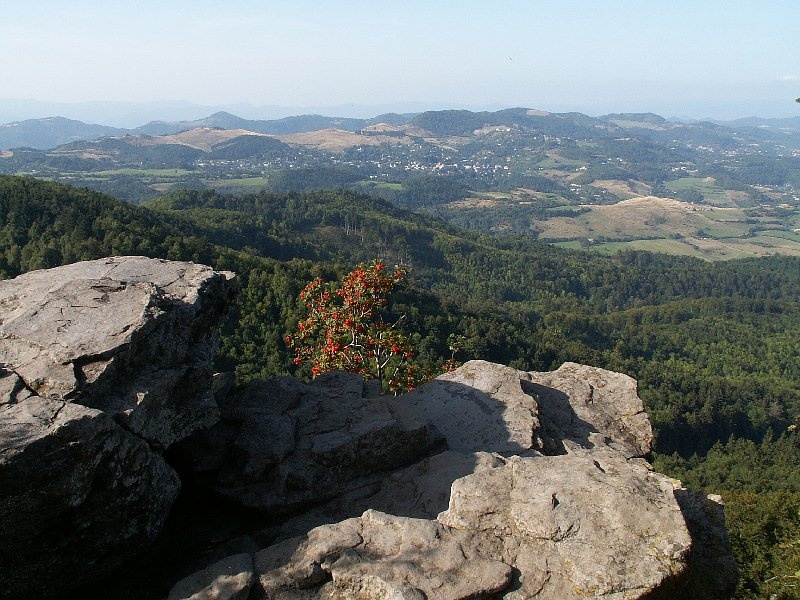
Geologically Sitno is the remnant of a solidified andesite lava flow that poured into a valley among softer volcanic tuffs in the Neogene; the flat summit platform is made of more resistant pyroxene andesite. Steep rock walls surround it on three sides, so it is accessible only from the north-east; on its north-western edge stands the Téry Tower — a crag of five- and six-sided andesite columns. The cliffs below the summit have climbing routes up to 80 m long.
Getting there / trails
- Green and blue markings — the «Sitno» nature trail from Počúvadlo lake; stairs lead from Tatárska lúka to the summit.
- Green markings from the village of Ilija.
- Blue markings — the «Andrej Kmeť Trail» from the village of Prenčov.
The climb has no technical difficulties and suits families. On the summit there are a lookout pavilion, a telecommunications tower and the Andrej Kmeť mountain hut, with a large wooden cross and a monument to the volunteers who mark hiking trails nearby.
The view
From the lookout pavilion the panorama takes in the Štiavnica Mountains and the ranges of central Slovakia: Pohronský Inovec, Vtáčnik, the Lesser and Greater Fatra, the Low Tatras, the Veporské vrchy, Poľana and Javorie, and to the south the Hungarian Börzsöny and Mátra.
History
The summit was settled in prehistory. Archaeologists uncovered a large 16-hectare hillfort of the Lusatian culture with a double ring of ramparts — the highest fortified settlement of this culture in Slovakia; people lived here around 1200–800 BC, and pottery, quern stones and bronze objects have been found. In the 13th century the stone castle of Sitno was built on the eastern slope, at about 840 m, to guard the approaches to the ore mines of Banská Štiavnica. In the 16th century it defended the central Slovak towns against the Ottomans, and in 1703–1710 it was destroyed by Kuruc insurgents.
In 1727 Andrej Jozef Koháry, owner of the manor at Svätý Anton, had a pavilion built on Sitno; the rebuilt lookout is dated 1736 and is considered the second-oldest in Slovakia. In 1852 it burned down after a lightning strike, and in the 1880s it was restored at the initiative of the physician Edmund Téry — the same man after whom the Téry hut in the High Tatras is named. Sitno is also linked to the legend of the Sitno knights, who sleep inside the mountain and will come to the nation's aid in its darkest hour.
Nature
As early as 1951 the summit was protected as the Sitno nature reserve (about 45 ha), within the Štiavnické vrchy Protected Landscape Area. Thermophilous and mountain plants grow side by side here — martagon lily, Carpathian saxifrage, yellow garlic — and the naturalist Andrej Kmeť described about 300 forms of wild roses on the mountain. The local roe deer, with dark, high-set antlers, are known as the «Sitno roe deer».
Safety
The summit cliffs are not fenced everywhere — keep children close. In an emergency call 112 or the Slovak Mountain Rescue Service (HZS): 18 300 (+421 18 300).
Photos: Michalsmr, CC BY-SA 4.0; Peko, CC BY-SA 3.0; Pe3kZA, CC BY-SA 4.0; Mineralysk, CC BY-SA 4.0; Unknown authorUnknown author, Public domain — Wikimedia Commons.
Getting there from Ukraine
Border crossings
- Uzhhorod – Vyšné Nemecké — road, 24/7
- Malyi Bereznyi – Ubľa — road, 24/7 For cars and buses; pedestrians not confirmed by the Ukrainian border service, lorries up to 3.5 t.
- Mali Selmentsi – Veľké Slemence (pedestrian) — pedestrian, 09:00–21:00 Kyiv time Pedestrians and cyclists only; inconvenient for the Tatras without onward transport.
- Chop – Čierna nad Tisou (rail) — rail, 24/7
By car
From Uzhhorod to Brezno ≈274 km, ≈3 h 50 min without queues: Uzhhorod – Vyšné Nemecké → I/19 to Košice → D1 via Prešov and Poprad to the exit near Liptovský Hrádok → I/18 and I/72 over the Čertovica Pass to Brezno. To Banská Bystrica ≈322 km, ≈4 h 30 min: D1 to Ružomberok, then I/59 via Donovaly. From Lviv: to Brezno via Uzhok and Ubľa ≈498 km (≈7 h 45 min) or through Poland ≈554 km (≈7 h 05 min); to Banská Bystrica through Poland (Kraków – Chyżne – Trstená – Dolný Kubín – Ružomberok) ≈535 km, ≈7 h 15 min. The D1 requires an e-vignette (eznamka.sk).
Checked 23.10.2026; border crossing hours and timetables change — check before you travel.
Location on the map
Water and shelter nearby
- Andreja Kmeťa Hut50 m · Standing · 997 m
- Sitnianska Spring290 m · Not verified · 956 m
- Močidlo Spring, 953 m320 m · Not verified · 953 m
- Granty Spring, 871 m390 m · Not verified · 871 m
- Spring Nad Veľkou lúkou580 m · Not verified · 832 m
- Kaňova Spring750 m · Not verified · 883 m
- Spring below Salašiská (west slope)790 m · Not verified · 735 m
- Spring below Malé Sitno (west slope)870 m · Not verified · 791 m
- Petrova Spring1000 m · Not verified · 701 m
- Spring below Malé Sitno (south-west slope)1.3 km · Not verified · 687 m
- Gretzmacherov Spring1.3 km · Not verified · 766 m
- Spring below Salašiská (south-west slope)1.3 km · Not verified · 646 m
- Spring below Holík1.5 km · Not verified · 673 m
- Spring below Jedlina (south-east slope)1.7 km · Not verified · 714 m
- Spring below Jedlina (east slope)1.8 km · Not verified · 649 m
- Lipová1.9 km · Not verified · 667 m
Comments
Trails via Sitno
All 1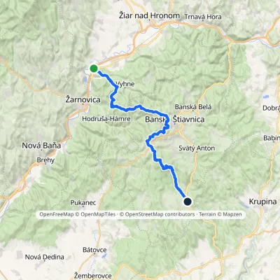
Nearby attractions
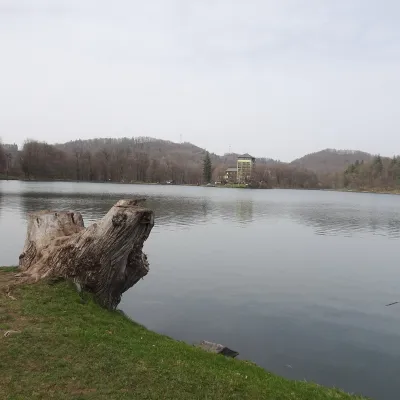 LakePočúvadlo — historic mining lake below SitnoBanská Štiavnica1.8 km from SitnoPočúvadlo (Počúvadlianske jazero) is the largest of the Štiavnica tajchs — historic artificial ponds built by the miners of Banská Štiavnica to drive the machinery of...
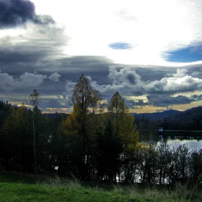 LakeThe Štiavnica tajchy – historic mining lakes of Banská ŠtiavnicaŠtiavnické Bane3.5 km from SitnoThe Štiavnica tajchy are a system of historic artificial lakes in the Štiavnica Mountains (Štiavnické vrchy) around the mining town of Banská Štiavnica in central...
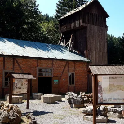 MuseumOpen-Air Mining Museum, Banská ŠtiavnicaBanská Štiavnica5.4 km from SitnoThe Open-Air Mining Museum (Banské múzeum v prírode) in Banská Štiavnica is the oldest and thematically broadest mining exhibition in Slovakia.
Craft nearby
All craft places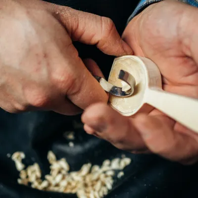 Crafts & workshopsDo dielne, Počúvadlo: woodcarving courses near Banská ŠtiavnicaPočúvadlo5.1 km from SitnoHere, in the quiet among the hills, works the small workshop Do dielne (“To the workshop”). Its owner Dušan Budinský ran a hairdresser’s in Bratislava for eight years,...
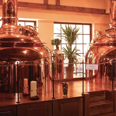 Craft beer & breweriesERB brewery in Banská Štiavnica: brewery tour and tastingBanská Štiavnica6.3 km from SitnoBanská Štiavnica is an old mining town in the caldera of an extinct volcano and a UNESCO World Heritage site.
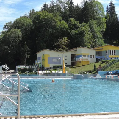 Water parks & thermal poolsVodný raj thermal pools in VyhneVyhne13 km from SitnoVodný raj Vyhne ("Water Paradise") is a public pool complex with thermal water in the village of Vyhne, in a quiet wooded valley of the Štiavnické vrchy hills near the...
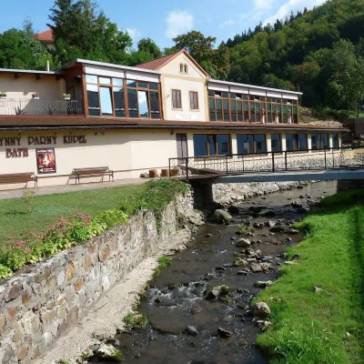 Water parks & thermal poolsSklené Teplice: Parenica cave steam bath and thermal bathsSklené Teplice14 km from SitnoSklené Teplice is a small spa in a wooded valley of the Štiavnické vrchy hills, a few kilometres from the Hron valley and about 8 km from Banská Štiavnica.
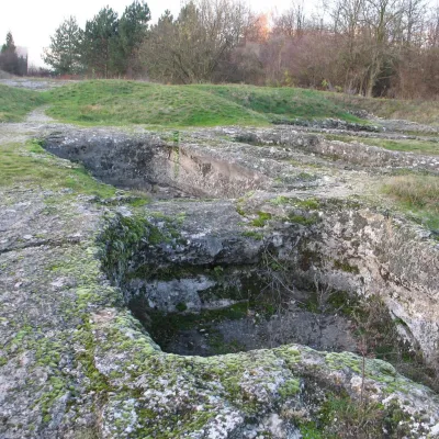 Water parks & thermal poolsDudince spa: carbon dioxide–sulphur water and the Roman BathsDudince26 km from SitnoDudince is the smallest town in Slovakia (about 1,400 inhabitants) and the southernmost Slovak spa. It lies at 144 m in the valley of the Štiavnica stream, where the...
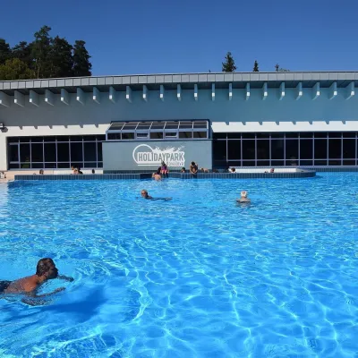 Water parks & thermal poolsKováčová: thermal spa and Holidaypark aquapark near ZvolenKováčová28 km from SitnoKováčová is a spa village on the south-western edge of the Zvolen Basin, 4 km west of Zvolen at the foot of the Kremnica Mountains; the village centre lies at 303 m.
