Počúvadlo — historic mining lake below Sitno
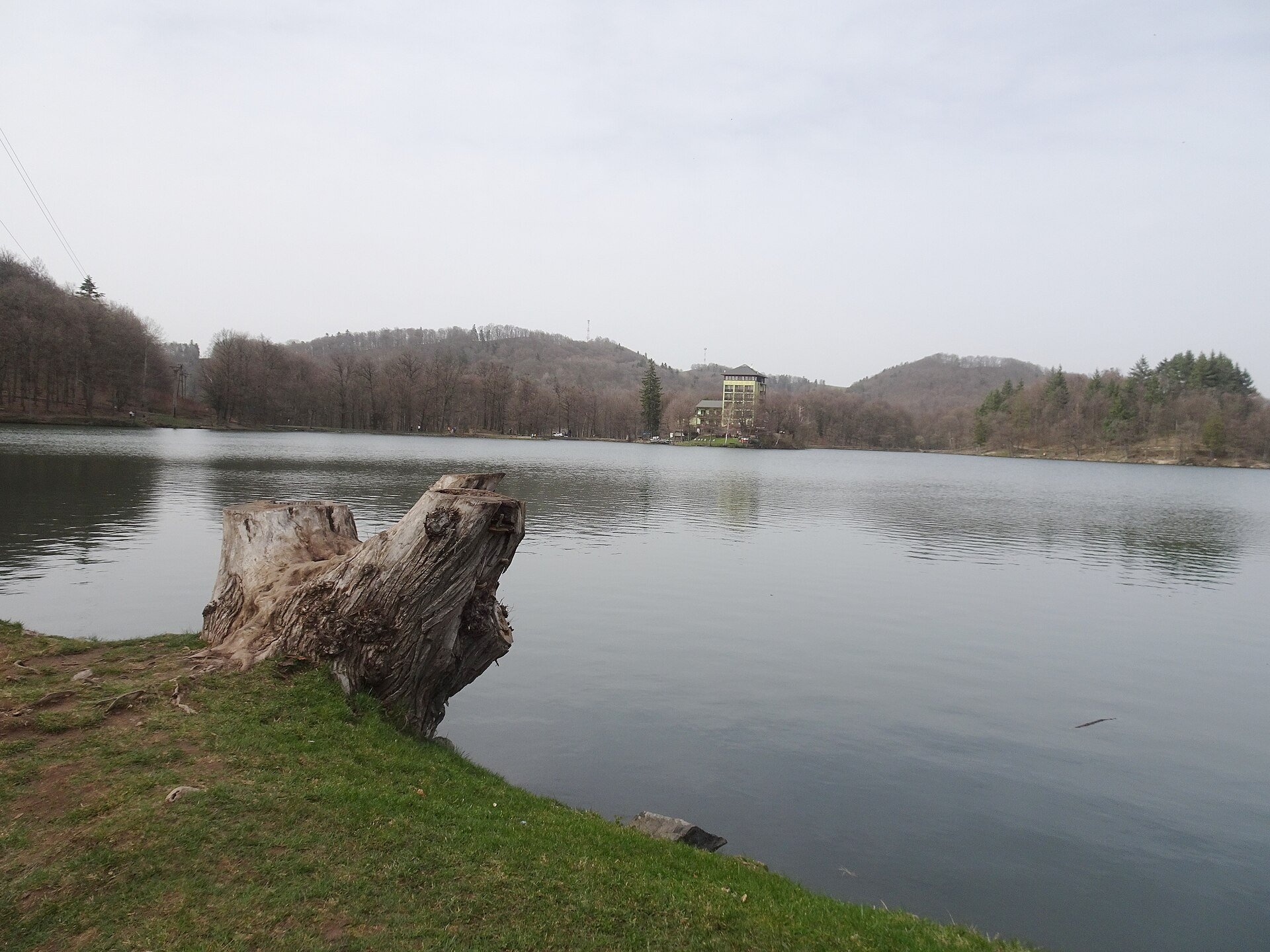
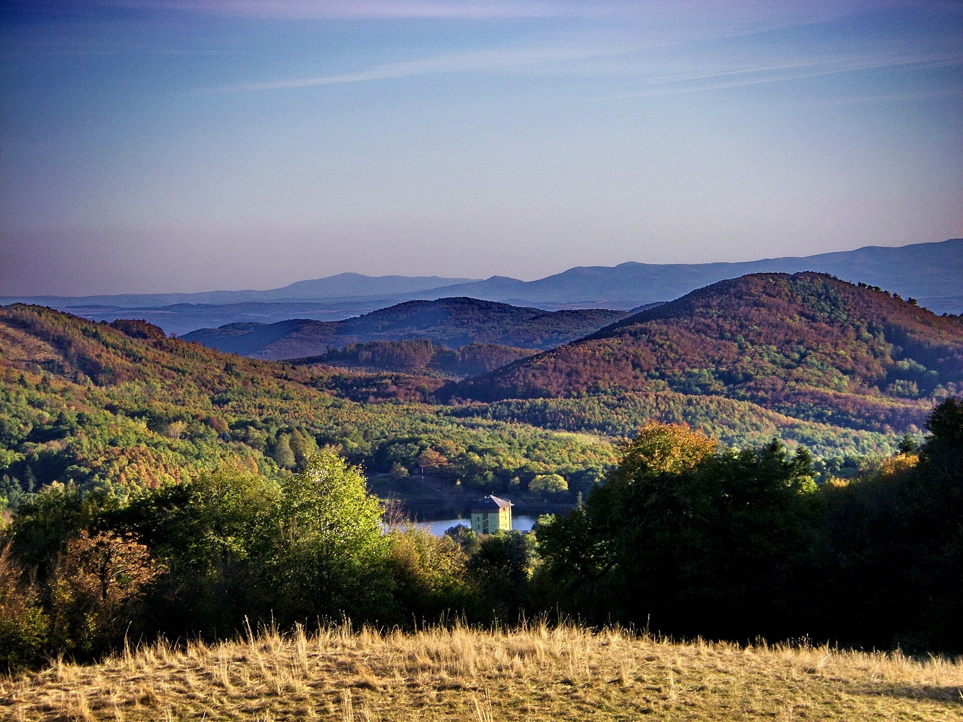
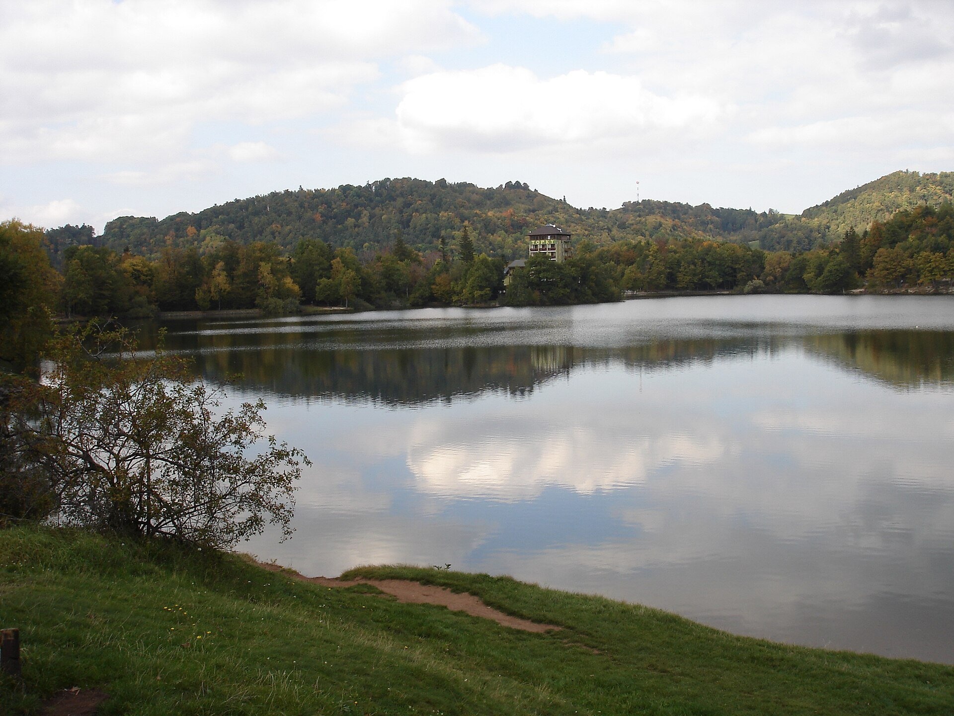
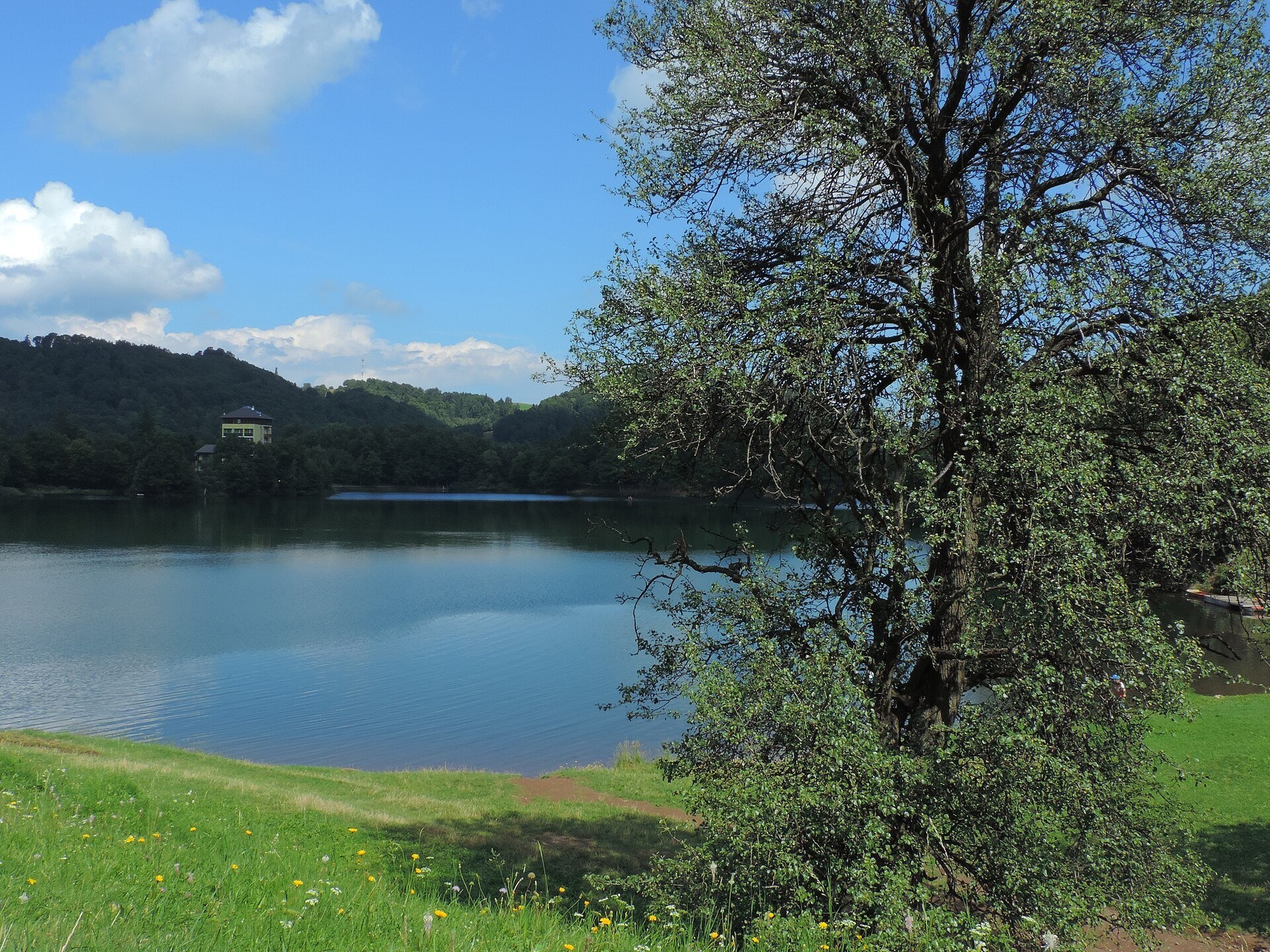
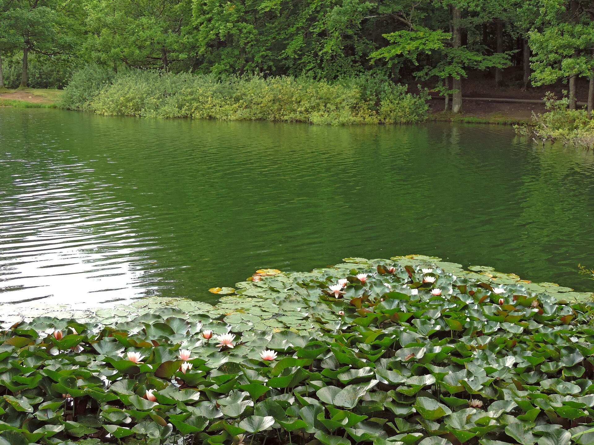
Počúvadlo (Počúvadlianske jazero) is the largest of the Štiavnica tajchs — historic artificial ponds built by the miners of Banská Štiavnica to drive the machinery of mines and smelters. The lake lies in the Štiavnické vrchy mountains at the foot of Sitno (1,009 m), the highest peak of the range, about 10 km from Banská Štiavnica; since 1980 its surroundings have belonged to the town as the district of Počúvadlianske Jazero. The name is linked to the Slovak «počúvať» — in its old meaning «to observe», i.e. «a lookout place».
The mining country around Banská Štiavnica is poor in natural water sources, so from the early 16th to the mid-19th century a unique system of 60 tajchs (from German Teich, pond) with a total volume of 7 million m³ was created here, linked by collecting (72 km) and feeder (57 km) channels: snow and rainwater gathered in the channels, accumulated in the ponds and flowed on to the mine wheels. The names of Matej Kornel Hell, Jozef Karol Hell and above all the scientist Samuel Mikovíni are associated with the system. Počúvadlo was built in 1775–1779 to a design by Jozef Karol Hell; no fewer than five dams hold back its water. It covers 11.73 ha (about 12 ha according to Slovak Wikipedia) and holds 745,300 m³; Polish Wikipedia gives a maximum depth of 20 m, Slovak and Czech Wikipedia 11 m. Water flowed into the lake through five artificial channels totalling 15.56 km (the longest, the Sitno channel, 4.63 km), and the outflow channels to the water wheels measured 13.77 km, seven sections of them running through underground adits. Of the 60 tajchs, 23 survive today; Počúvadlo is one of the largest and coldest. The tajchs are regarded as a technical monument listed by UNESCO together with Banská Štiavnica.
What to see and do
- A walk around the lake: mirror-like water, the forests of the Štiavnické vrchy and water lilies by the banks.
- Summer swimming: Polish Wikipedia mentions a bathing area on the lake; it is one of the most popular leisure spots near Banská Štiavnica, and visitors come in winter too.
- Traces of the historic water system: dams and channels that once carried water to the mines.
- The climb to Sitno — the highest peak of the Štiavnické vrchy with andesite walls and a lookout tower; a marked trail leads there from the lake via Tatárska lúka.
Getting there
You can drive right up to the lake — this is a stroll, not a hike, suitable for families with children; a trail signpost «Počúvadlianske jazero» (684 m) stands by the shore. Marked routes run around the lake and through the area, including the loop Počúvadlianske jazero – Počúvadlianske jazero and Bátovce, square – Tatárska lúka, used to climb Sitno via Tatárska lúka; to the south runs the long route Počúvadlianske Lake – Šahy, state border. The Andrej Kmeť Trail also passes nearby. Check the time for the climb to Sitno on the signposts by the lake.
Season and safety
The lake is accessible all year and access to the shores is free. In summer it is busy, especially at weekends; in autumn the forests around turn colourful. Swim only in the designated area — the water of the tajch is cold even in summer and the bottom is muddy in places. In winter do not go onto the ice unless you are sure it is safe. Protect the historic dams and channels — they are part of the monument. Mountain Rescue Service — 18 300, general emergency number — 112. As of October 2026.
Nearby
Above the lake rises the Sitno massif, crossed by the red Rudná magistrála: Veľký Inovec – Kadak; from Sedlo Krížna the route Banská Štiavnica, Križovatka – Sedlo Krížna leads towards Banská Štiavnica.
Photos: Palickap, CC BY 4.0, Wikimedia Commons; Michal Hruška, CC BY-SA 3.0, Wikimedia Commons; Daniel Skreno, CC BY-SA 2.5, Wikimedia Commons; Jan Starec, CC BY-SA 3.0, Wikimedia Commons.
Getting there from Ukraine
Border crossings
- Uzhhorod – Vyšné Nemecké — road, 24/7
- Malyi Bereznyi – Ubľa — road, 24/7 For cars and buses; pedestrians not confirmed by the Ukrainian border service, lorries up to 3.5 t.
- Mali Selmentsi – Veľké Slemence (pedestrian) — pedestrian, 09:00–21:00 Kyiv time Pedestrians and cyclists only; inconvenient for the Tatras without onward transport.
- Chop – Čierna nad Tisou (rail) — rail, 24/7
By car
From Uzhhorod to Brezno ≈274 km, ≈3 h 50 min without queues: Uzhhorod – Vyšné Nemecké → I/19 to Košice → D1 via Prešov and Poprad to the exit near Liptovský Hrádok → I/18 and I/72 over the Čertovica Pass to Brezno. To Banská Bystrica ≈322 km, ≈4 h 30 min: D1 to Ružomberok, then I/59 via Donovaly. From Lviv: to Brezno via Uzhok and Ubľa ≈498 km (≈7 h 45 min) or through Poland ≈554 km (≈7 h 05 min); to Banská Bystrica through Poland (Kraków – Chyżne – Trstená – Dolný Kubín – Ružomberok) ≈535 km, ≈7 h 15 min. The D1 requires an e-vignette (eznamka.sk).
Checked 23.10.2026; border crossing hours and timetables change — check before you travel.
Location on the map
Comments
Trails nearby
All trails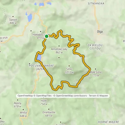 ModerateOne-dayMarkedPočúvadlianske jazero loopElevation profile682–770 m13.8 kmascent 120 m≈ 3.5 h walkingunder 1 km from Počúvadlo — historic mining lake below Sitno
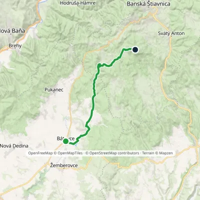 ModerateTwo-dayMarkedBátovce, square Tatárska lúkaElevation profile221–911 m22.3 kmascent 752 m≈ 7 h walkingunder 1 km from Počúvadlo — historic mining lake below Sitno
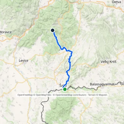 HardMulti-dayMarkedPočúvadlianske Lake Šahy, state borderElevation profile125–707 m60 kmascent 1 303 munder 1 km from Počúvadlo — historic mining lake below Sitno
Nearby attractions
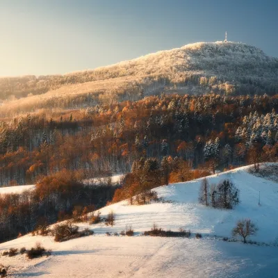 PeakSitnoIlijaaltitude 1 009 m1.8 km from Počúvadlo — historic mining lake below SitnoSitno (Hungarian Szitnya) is the highest peak of the Štiavnica Mountains at 1,009 m, close to the historic mining town of Banská Štiavnica in central Slovakia.
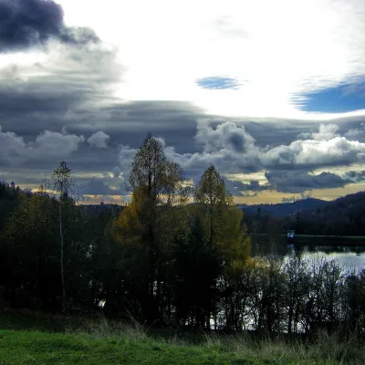 LakeThe Štiavnica tajchy – historic mining lakes of Banská ŠtiavnicaŠtiavnické Bane2.2 km from Počúvadlo — historic mining lake below SitnoThe Štiavnica tajchy are a system of historic artificial lakes in the Štiavnica Mountains (Štiavnické vrchy) around the mining town of Banská Štiavnica in central...
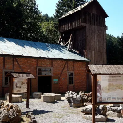 MuseumOpen-Air Mining Museum, Banská ŠtiavnicaBanská Štiavnica5.5 km from Počúvadlo — historic mining lake below SitnoThe Open-Air Mining Museum (Banské múzeum v prírode) in Banská Štiavnica is the oldest and thematically broadest mining exhibition in Slovakia.
Craft nearby
All craft places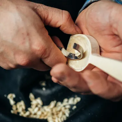 Crafts & workshopsDo dielne, Počúvadlo: woodcarving courses near Banská ŠtiavnicaPočúvadlo4.7 km from Počúvadlo — historic mining lake below SitnoHere, in the quiet among the hills, works the small workshop Do dielne (“To the workshop”). Its owner Dušan Budinský ran a hairdresser’s in Bratislava for eight years,...
 Craft beer & breweriesERB brewery in Banská Štiavnica: brewery tour and tastingBanská Štiavnica6.3 km from Počúvadlo — historic mining lake below SitnoBanská Štiavnica is an old mining town in the caldera of an extinct volcano and a UNESCO World Heritage site.
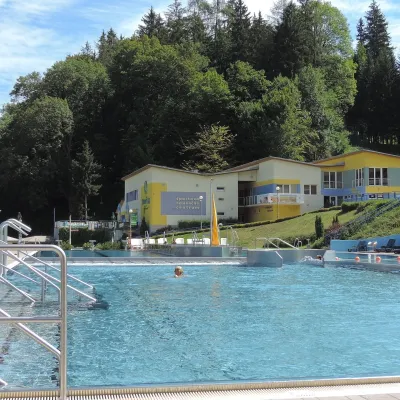 Water parks & thermal poolsVodný raj thermal pools in VyhneVyhne12 km from Počúvadlo — historic mining lake below SitnoVodný raj Vyhne ("Water Paradise") is a public pool complex with thermal water in the village of Vyhne, in a quiet wooded valley of the Štiavnické vrchy hills near the...
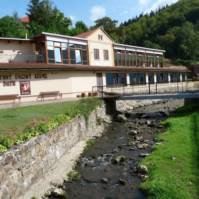 Water parks & thermal poolsSklené Teplice: Parenica cave steam bath and thermal bathsSklené Teplice13 km from Počúvadlo — historic mining lake below SitnoSklené Teplice is a small spa in a wooded valley of the Štiavnické vrchy hills, a few kilometres from the Hron valley and about 8 km from Banská Štiavnica.
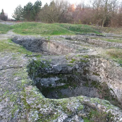 Water parks & thermal poolsDudince spa: carbon dioxide–sulphur water and the Roman BathsDudince27 km from Počúvadlo — historic mining lake below SitnoDudince is the smallest town in Slovakia (about 1,400 inhabitants) and the southernmost Slovak spa. It lies at 144 m in the valley of the Štiavnica stream, where the...
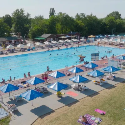 Water parks & thermal poolsMargita-Ilona thermal swimming area near LeviceLevice28 km from Počúvadlo — historic mining lake below SitnoMargita-Ilona is a summer swimming area with thermal water 6 km from the town of Levice towards Šahy, in the Kalinčiakovo part of the town.
