Veľký Inovec
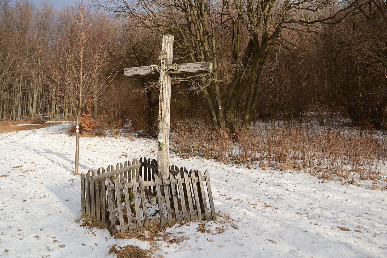
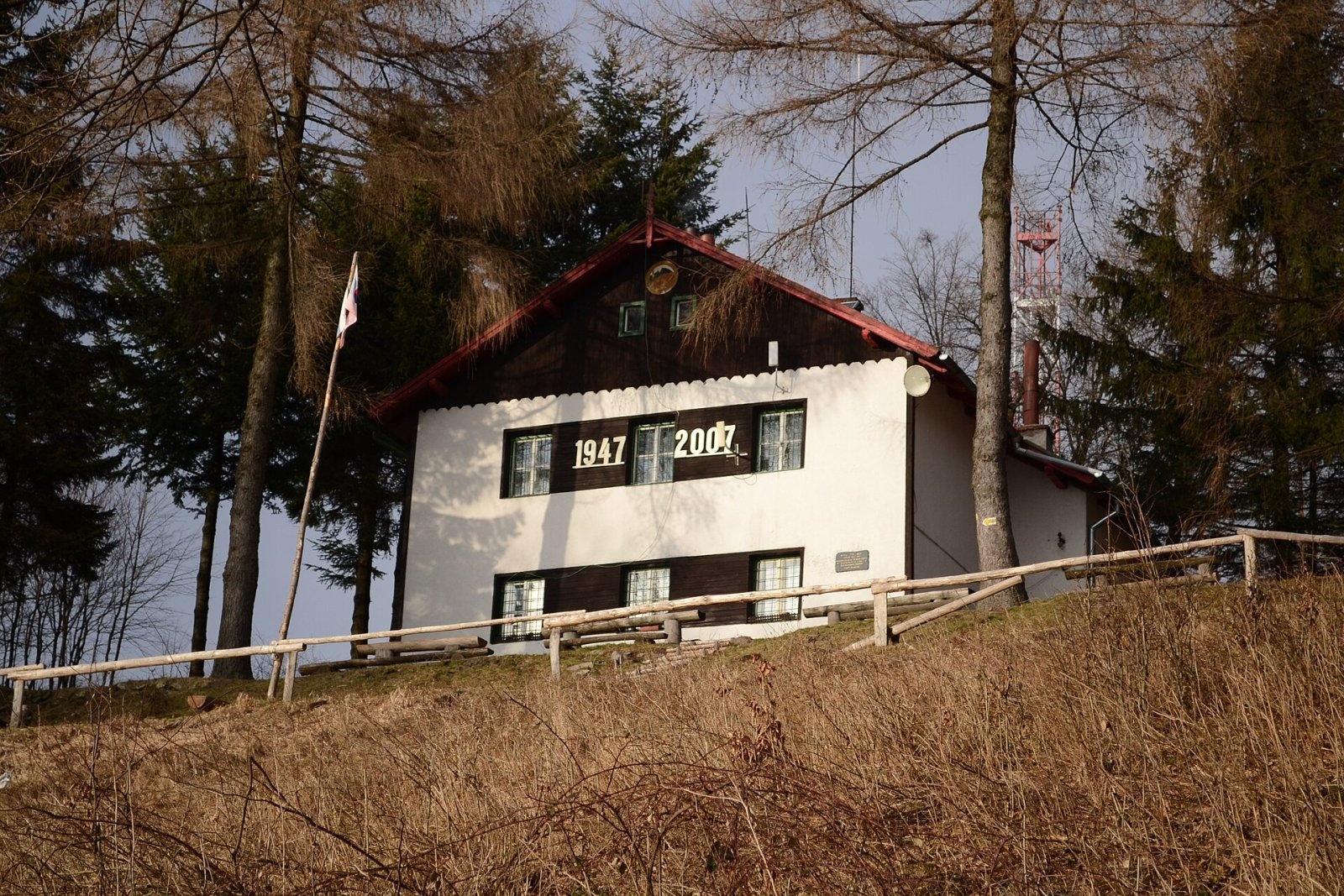
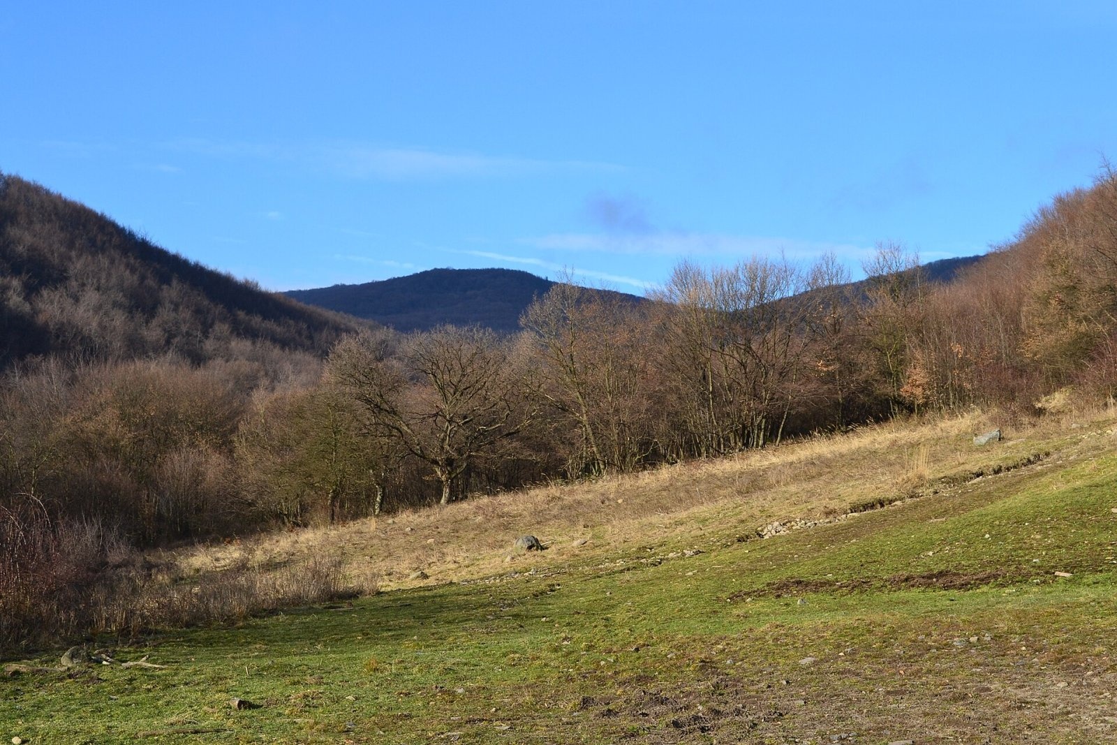
Veľký Inovec is the highest summit of the Pohronský Inovec mountains in Slovakia, at 900 m. It lies in the central part of the range, on the main ridge, in the Nitra Region, Zlaté Moravce District, in the cadastre of the village of Tekovské Nemce. Since 1992 the summit has been a natural monument: it is formed by a rocky remnant of an old andesite lava flow. The nearest villages in a straight line are Orovnica (about 4.5 km), Veľká Lehota (5 km), Tekovská Breznica and Tekovské Nemce (6 km each).
The summit is a broad flattening of the ridge at 860–880 m, elongated north–south and crowned in its southern part by an andesite rock massif. To the west, beyond the shallow Inovecké sedlo saddle, stands Malý Inovec (870 m); to the north-east lies Zámčisko (770 m) and to the south-east Stavanský vrch (771 m). Tributaries of the Žitava drain the northern slopes, tributaries of the Hron the rest. The mountain is mostly forested.
How to get there / routes
The summit can be reached by marked trails from many surrounding villages. The trail junction lies north-west of the summit, just below the hikers' hut on Veľký Inovec; from there a short marked link leads to the top.
- Red trail – the long-distance Rudná magistrála (Ore Trail): from Nová Baňa (Bukovina) via Loksová lúka, about 2 h, or from Zlaté Moravce via Obycké lúky.
- Blue trail – from Veľká Lehota via Inovecké sedlo, about 1:45 h.
- Trails from Stará Huta and from Tekovské Nemce (via the Breziny junction above Obyce).
- The Way of St James (Camino) also passes here on its Nová Baňa – Hronský Beňadik stage.
What you can see from the top
The view from the summit itself is limited. The terrace in front of the hut looks over the Tekov region – the rolling Pohronská pahorkatina with villages, groves, fields and the Hron river. Thanks to its height and position above the Danubian Lowland, small meadows give interesting views: fragments of Vtáčnik, the Lesser and Greater Fatra, the Low Tatras, the Štiavnica Mountains, Inovec peak, the southern Strážov Mountains and, to the south, part of the Danubian Lowland. In very good visibility you can even make out Esztergom on the Danube in Hungary and the hills of northern Hungary.
Nature and history
The Pohronský Inovec is a volcanic range, and Veľký Inovec is built of andesite. The rock walls of the summit massif – the remnant of a lava flow – attract rock climbers. The summit and southern part of the mountain belong to the Veľký Inovec natural monument.
Safety, season and rules
The mountain is not high, but the trails are long and wooded; in winter expect snow and ice. Take care near the rock walls and stay on the paths in the natural monument. Slovak Mountain Rescue Service (HZS): 18 300 (+421 18 300); general emergency number 112.
Interesting facts
- The Rudná magistrála and the Way of St James meet near the summit.
- The summit has been a natural monument since 1992.
Photos: Titlak, CC BY 3.0; Titlak, CC BY 3.0; Titlak, CC BY 3.0 — Wikimedia Commons.
Getting there from Ukraine
Border crossings
- Uzhhorod – Vyšné Nemecké — road, 24/7
- Malyi Bereznyi – Ubľa — road, 24/7 For cars and buses; pedestrians not confirmed by the Ukrainian border service, lorries up to 3.5 t.
- Mali Selmentsi – Veľké Slemence (pedestrian) — pedestrian, 09:00–21:00 Kyiv time Pedestrians and cyclists only; inconvenient for the Tatras without onward transport.
- Chop – Čierna nad Tisou (rail) — rail, 24/7
By car
From Uzhhorod to Žilina ≈330 km, ≈4 h 20 min without queues: Uzhhorod – Vyšné Nemecké → I/19 to Košice → D1 via Prešov, Poprad, Liptovský Mikuláš and Ružomberok (≈17 km on I/18 between D1 sections) → Žilina. To Terchová ≈314 km, ≈4 h 15 min: from the D1 onto I/70 and II/583. From Lviv through Poland: M-10 → Krakovets – Korczowa → A4 to Kraków → S7/DK7 to Chyżne – Trstená → R3, I/59 to Dolný Kubín → II/583 via Terchová to Žilina: to Terchová ≈493 km (≈6 h 30 min), to Žilina ≈518 km (≈7 h). Via the tolled A4 Kraków – Katowice, S1 and D3: ≈533 km, ≈6 h 35 min. The D1 requires an e-vignette (eznamka.sk).
Checked 23.10.2026; border crossing hours and timetables change — check before you travel.
Location on the map
Water and shelter nearby
- Tourist Hut on Veľký Inovec220 m · Standing · 854 m
- Spring below Veľký Inovec (south-west slope)250 m · Not verified · 825 m
- Spring below Veľký Inovec (north-west slope)560 m · Not verified · 834 m
- Spring below Pečanský vrch2 km · Not verified · 504 m
- Stoky Spring2.3 km · Not verified · 709 m
- Spring below Viecha (north-west slope)2.7 km · Not verified · 571 m
Comments
Trails nearby
All trails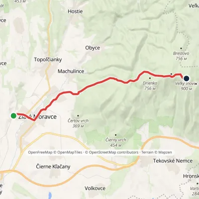 ModerateOne-dayMarkedRudná magistrála: Zlaté Moravce Veľký InovecElevation profile184–900 m14.9 kmascent 796 m≈ 5.5 h walkingunder 1 km from Veľký Inovec
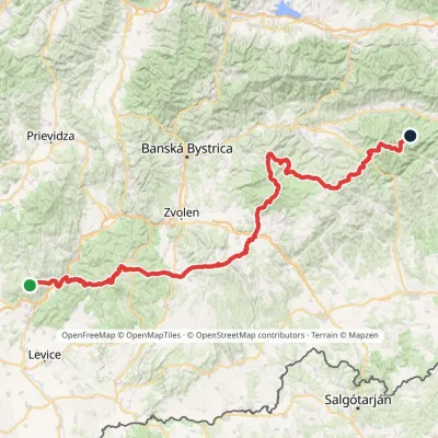 HardMulti-dayMarkedRudná magistrála: Veľký Inovec KadakElevation profile196–1 458 m195.4 kmascent 6 404 munder 1 km from Veľký Inovec
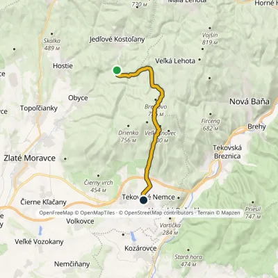 ModerateOne-dayMarkedHoráreň in Osná Valley Tekovské NemceElevation profile258–862 m15.9 kmascent 533 m≈ 5 h walkingunder 1 km from Veľký Inovec
Nearby attractions
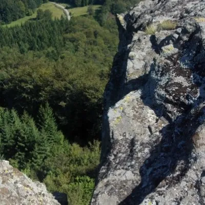 PeakBuchlov (Vtáčnik)Čereňanyaltitude 1 040 m22 km from Veľký InovecBuchlov is a prominent rocky peak, 1,040 m high, in the Vtáčnik mountains of central Slovakia. It should not be confused with the castle hill of the same name in the...
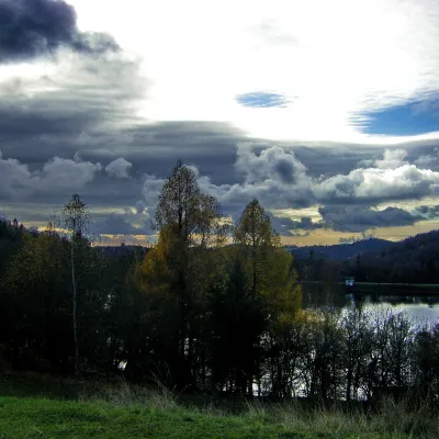 LakeThe Štiavnica tajchy – historic mining lakes of Banská ŠtiavnicaŠtiavnické Bane23 km from Veľký InovecThe Štiavnica tajchy are a system of historic artificial lakes in the Štiavnica Mountains (Štiavnické vrchy) around the mining town of Banská Štiavnica in central...
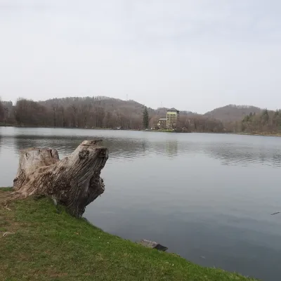 LakePočúvadlo — historic mining lake below SitnoBanská Štiavnica23 km from Veľký InovecPočúvadlo (Počúvadlianske jazero) is the largest of the Štiavnica tajchs — historic artificial ponds built by the miners of Banská Štiavnica to drive the machinery of...
Craft nearby
All craft places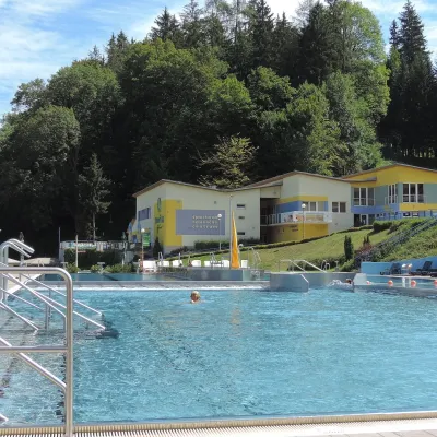 Water parks & thermal poolsVodný raj thermal pools in VyhneVyhne21 km from Veľký InovecVodný raj Vyhne ("Water Paradise") is a public pool complex with thermal water in the village of Vyhne, in a quiet wooded valley of the Štiavnické vrchy hills near the...
 Crafts & workshopsDo dielne, Počúvadlo: woodcarving courses near Banská ŠtiavnicaPočúvadlo22 km from Veľký InovecHere, in the quiet among the hills, works the small workshop Do dielne (“To the workshop”). Its owner Dušan Budinský ran a hairdresser’s in Bratislava for eight years,...
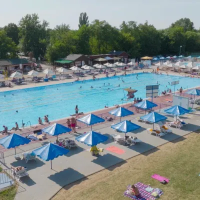 Water parks & thermal poolsMargita-Ilona thermal swimming area near LeviceLevice26 km from Veľký InovecMargita-Ilona is a summer swimming area with thermal water 6 km from the town of Levice towards Šahy, in the Kalinčiakovo part of the town.
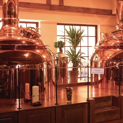 Craft beer & breweriesERB brewery in Banská Štiavnica: brewery tour and tastingBanská Štiavnica26 km from Veľký InovecBanská Štiavnica is an old mining town in the caldera of an extinct volcano and a UNESCO World Heritage site.
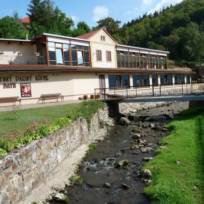 Water parks & thermal poolsSklené Teplice: Parenica cave steam bath and thermal bathsSklené Teplice27 km from Veľký InovecSklené Teplice is a small spa in a wooded valley of the Štiavnické vrchy hills, a few kilometres from the Hron valley and about 8 km from Banská Štiavnica.
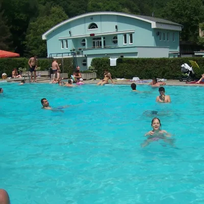 Water parks & thermal poolsChalmová Thermal Pool near PrievidzaBystričany29 km from Veľký InovecChalmová Thermal Pool (Termálne kúpalisko Chalmová) is a public pool complex in the village of Chalmová, part of the municipality of Bystričany, about 14 km south of...
