Buchlov (Vtáčnik)
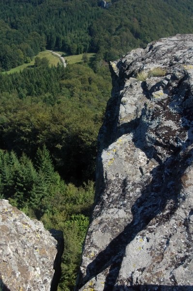
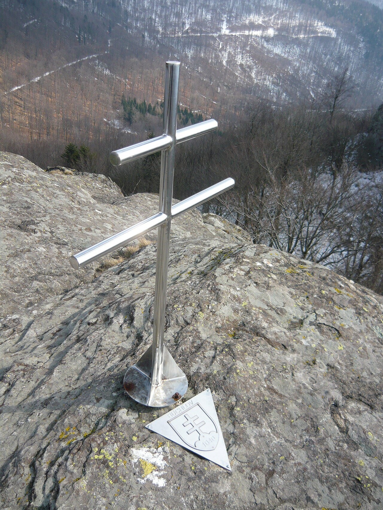
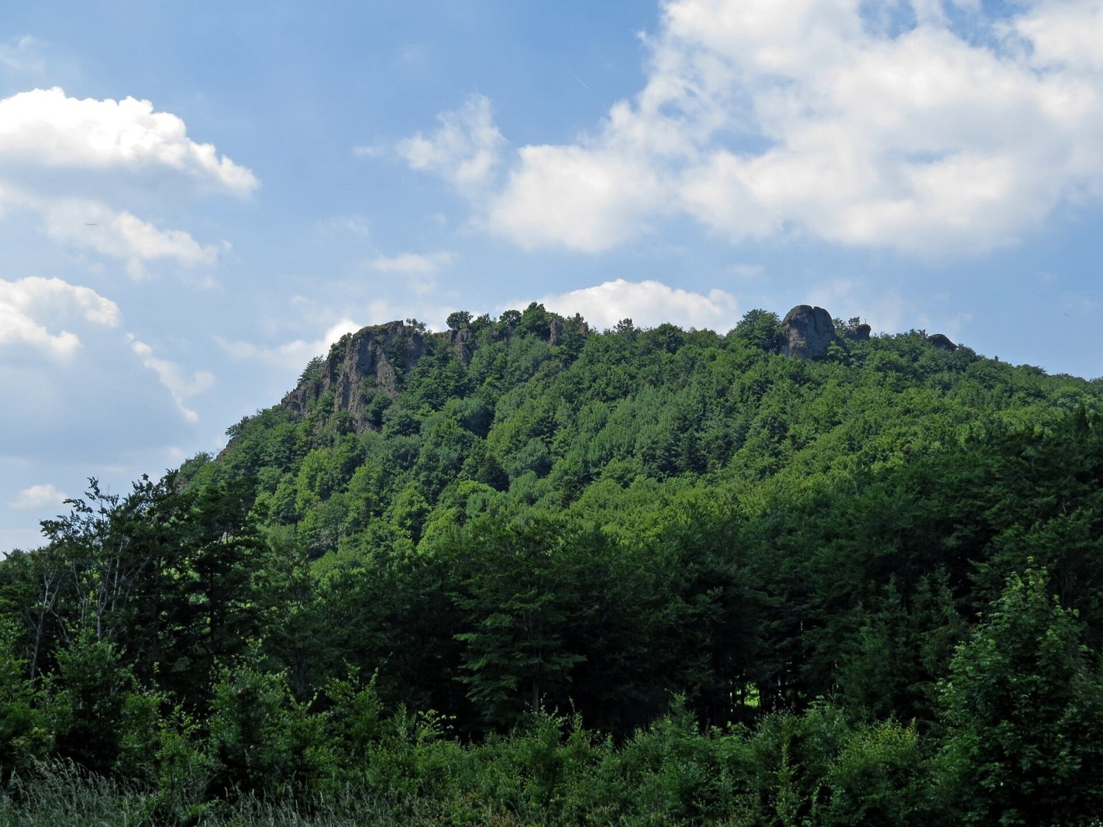
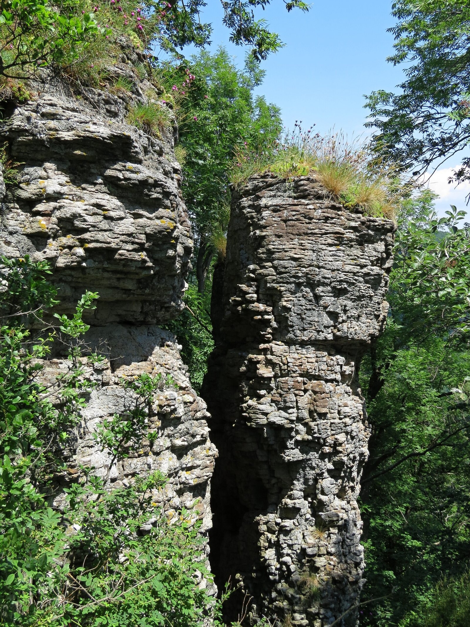
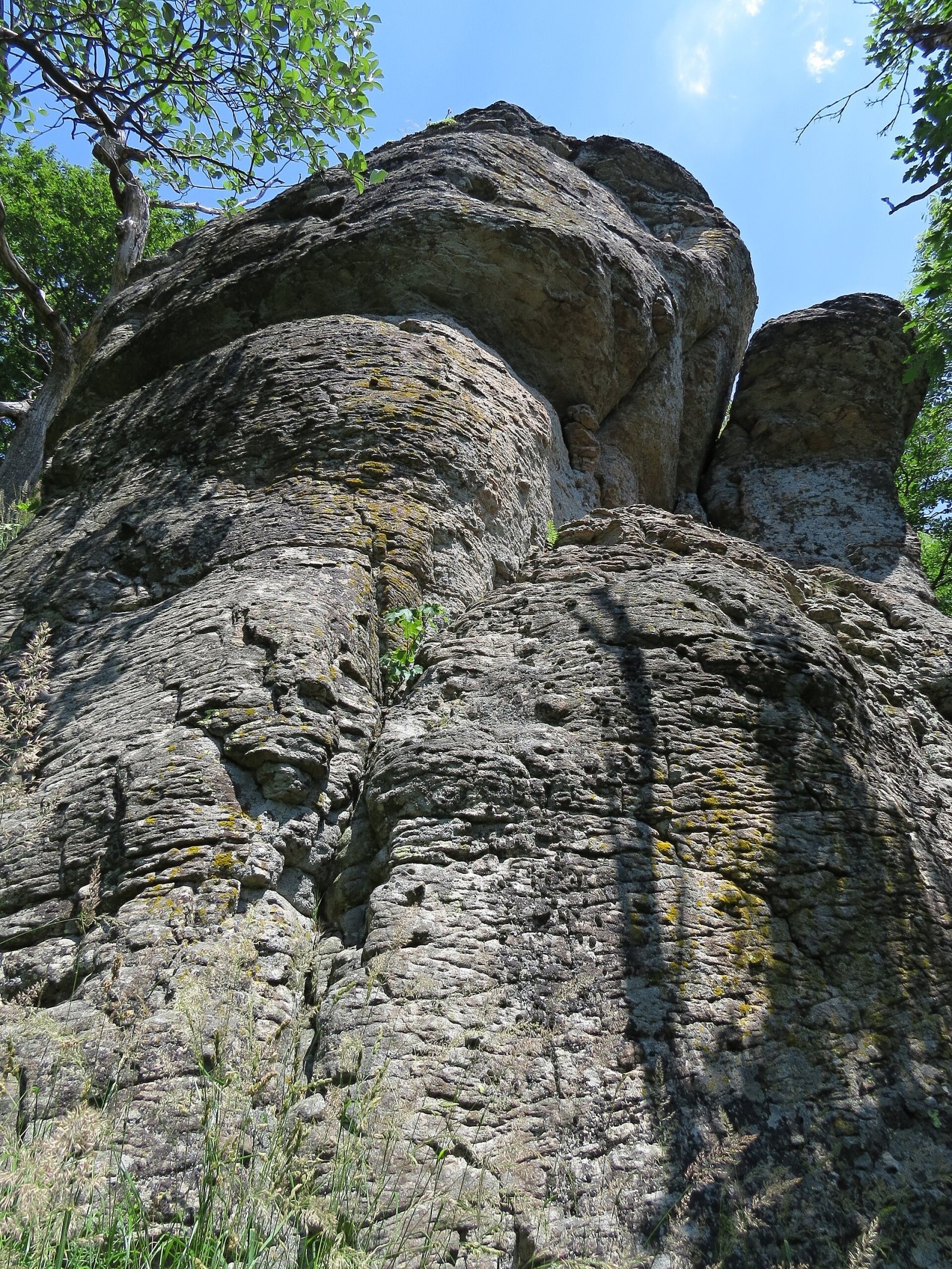
Buchlov is a prominent rocky peak, 1,040 m high, in the Vtáčnik mountains of central Slovakia. It should not be confused with the castle hill of the same name in the Czech Republic. The mountain rises in the highest part of the range, Vysoký Vtáčnik, in its south-western section, on a side ridge above the villages of Čereňany and Horná Ves, about 11 km south of the town of Nováky. The summit lies in the Trenčín Region, in the Prievidza District, on the border of the Čereňany and Oslany cadastres. The nearest settlements are Horná Ves and Radobica to the west (about 6 km), Kľak to the south-east and Bystričany to the north.
Buchlov lies on a spur that branches off the main Vtáčnik ridge at Rúbaný vrch (1,097 m) and runs north-west. At Buchlov the spur splits into two ridges: the northern one ends at Veľká skala (820 m), the western one descends via Sladná skala (913 m), Žarnov (840 m) and Rakytská skala towards the Upper Nitra basin and ends at the Čertova pec hillock. The summit area is a narrow crest elongated from south-east to north-west with fairly steep slopes. The north-eastern slopes fall to the valley of the Buchlovský potok, the Lubenský potok rises on the south-western side; this whole part of the range drains to the Nitra.
Getting there / routes
The yellow-marked trail KST 8401a runs along the Buchlov ridge just below the summit, from the village of Oslany via Žarnov and Sladná skala to Rúbaný vrch on the main Vtáčnik ridge. From the other side, Rúbaný vrch can be reached from the village of Ostrý Grúň, where the route meets the Ponitrie ridge trail (Ponitrianska magistrála). A blue trail via the Zadná lúka junction connects the route with Radobica (through the Radobická dolina) and with the Bystričianska dolina.
The Buchlov nature trail (Náučný chodník Buchlov) also crosses the mountain – from the Bystričianska dolina to the summit and on along the ridge via Sladná skala to Žarnov, with information panels on the local nature.
The view from the top
The forest on the summit ridge is patchy and the crags give a very good view. Thanks to its position on a side ridge, the view of the main Vtáčnik ridge is especially interesting. In good weather, according to Slovak sources, you can see the Lesser Fatra, the Strážov Mountains, Považský Inovec, Tribeč and Pohronský Inovec.
Nature and history
The Vtáčnik is a volcanic range and Buchlov is built of andesite. For about 500 m north-west of the summit a belt of weathered rock outcrops runs along the ridge – walls, towers, needles and groups of smaller andesite crags formed by the break-up of ancient lava tongues. At their foot, present-day weathering has produced scree and “stone seas”. The whole massif is covered by mixed, mostly broadleaf forest, and interesting warmth-loving plant communities grow on the southern slopes.
Buchlov lies in the Ponitrie Protected Landscape Area, and the summit area and south-western slopes down to about 800 m are within the Buchlov nature reserve, which reaches south-east to the crags of Žarnov. Picturesque rock formations, interesting flora and unusual views make Buchlov, Sladná skala and Žarnov popular with hikers.
Safety, season and rules
Buchlov can be climbed from spring to autumn and, with little snow, in winter too. The summit crags are steep, so take care with children and in wet weather, when the andesite and scree become slippery. In the Buchlov nature reserve stay on marked paths, do not pick plants and do not climb the rocks off the path. Mountain Rescue Service HZS: 18 300 (+421 18 300), general emergency number 112.
Interesting facts
- The crags of Buchlov are remnants of ancient lava flows of the Vtáčnik volcano.
- A cross stands on the summit, and a nature trail with information panels crosses the mountain.
Photos: Doronenko, CC BY-SA 3.0; Mutichou, CC BY-SA 4.0; Tomáš Merta, CC BY-SA 4.0; Tomáš Merta, CC BY-SA 4.0; Tomáš Merta, CC BY-SA 4.0 — Wikimedia Commons.
Getting there from Ukraine
Border crossings
- Uzhhorod – Vyšné Nemecké — road, 24/7
- Malyi Bereznyi – Ubľa — road, 24/7 For cars and buses; pedestrians not confirmed by the Ukrainian border service, lorries up to 3.5 t.
- Mali Selmentsi – Veľké Slemence (pedestrian) — pedestrian, 09:00–21:00 Kyiv time Pedestrians and cyclists only; inconvenient for the Tatras without onward transport.
- Chop – Čierna nad Tisou (rail) — rail, 24/7
By car
From Uzhhorod to Žilina ≈330 km, ≈4 h 20 min without queues: Uzhhorod – Vyšné Nemecké → I/19 to Košice → D1 via Prešov, Poprad, Liptovský Mikuláš and Ružomberok (≈17 km on I/18 between D1 sections) → Žilina. To Terchová ≈314 km, ≈4 h 15 min: from the D1 onto I/70 and II/583. From Lviv through Poland: M-10 → Krakovets – Korczowa → A4 to Kraków → S7/DK7 to Chyżne – Trstená → R3, I/59 to Dolný Kubín → II/583 via Terchová to Žilina: to Terchová ≈493 km (≈6 h 30 min), to Žilina ≈518 km (≈7 h). Via the tolled A4 Kraków – Katowice, S1 and D3: ≈533 km, ≈6 h 35 min. The D1 requires an e-vignette (eznamka.sk).
Checked 23.10.2026; border crossing hours and timetables change — check before you travel.
Location on the map
Water and shelter nearby
- Spring below Buchlov720 m · Not verified · 900 m
- Spring below Sladná skala790 m · Not verified · 747 m
- Spring below Veľká skala (south-east slope)2 km · Not verified · 595 m
Comments
Trails nearby
All trails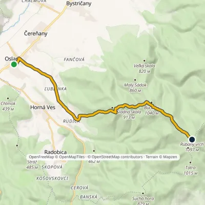 ModerateOne-dayMarkedOslany Rúbaný vrchElevation profile234–1 106 m13.6 kmascent 1 084 m≈ 5.5 h walkingunder 1 km from Buchlov (Vtáčnik)
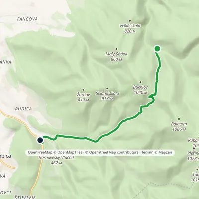 EasyOne-dayMarkedRadobická dolina Bystričianska dolinaElevation profile348–923 m7.8 kmascent 276 m≈ 2.5 h walkingunder 1 km from Buchlov (Vtáčnik)
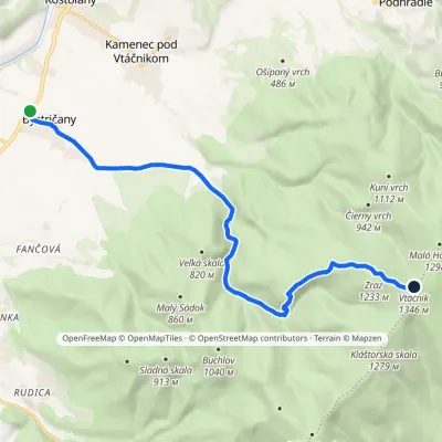 ModerateOne-dayMarkedChodník Petra ŠkolnuElevation profile255–1 346 m13.8 kmascent 1 091 m≈ 5.5 h walking1.4 km from Buchlov (Vtáčnik)
Nearby attractions
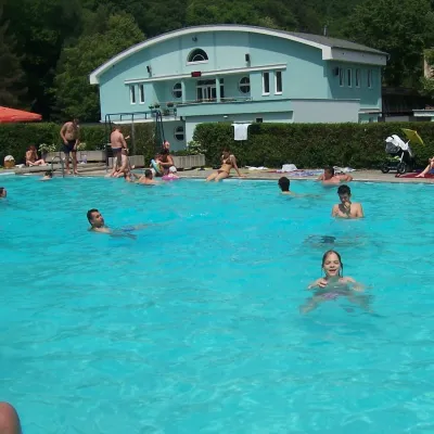 Water parks & thermal poolsChalmová Thermal Pool near PrievidzaBystričany8.7 km from Buchlov (Vtáčnik)Chalmová Thermal Pool (Termálne kúpalisko Chalmová) is a public pool complex in the village of Chalmová, part of the municipality of Bystričany, about 14 km south of...
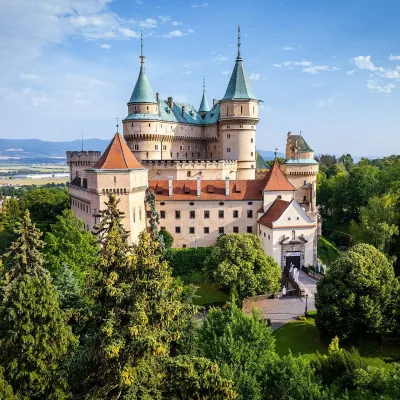 MuseumBojnice Castle — Slovak National MuseumBojnice19 km from Buchlov (Vtáčnik)Bojnice Castle (Bojnický zámok) rises on a travertine mound above the spa town of Bojnice near Prievidza, in the upper Nitra valley.
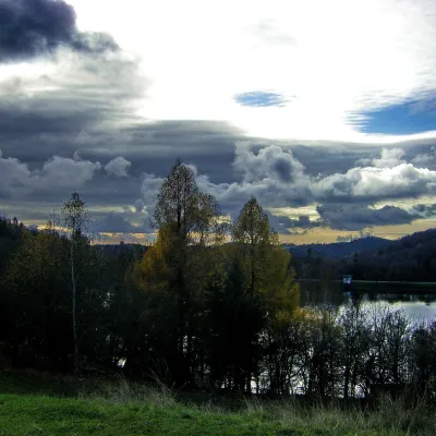 LakeThe Štiavnica tajchy – historic mining lakes of Banská ŠtiavnicaŠtiavnické Bane29 km from Buchlov (Vtáčnik)The Štiavnica tajchy are a system of historic artificial lakes in the Štiavnica Mountains (Štiavnické vrchy) around the mining town of Banská Štiavnica in central...
Craft nearby
All craft places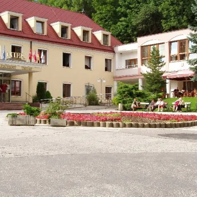 Water parks & thermal poolsBojnice Spa: thermal springs, pools and treatmentsBojnice18 km from Buchlov (Vtáčnik)Bojnice Spa (Kúpele Bojnice) lies on the edge of the town of Bojnice, about 3 km from Prievidza, in the Upper Nitra basin – at the eastern foot of the Malá Magura...
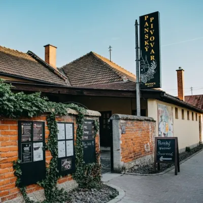 Craft beer & breweriesPanský pivovar Bojnice: unfiltered craft beer below the castleBojnice19 km from Buchlov (Vtáčnik)Bojnice is a spa town in the upper Nitra valley at the foot of the Strážov Hills, famous for the fairy-tale castle of the Pálffy family.
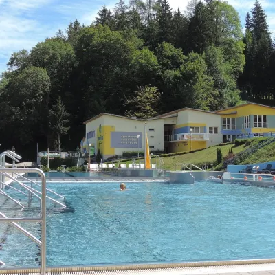 Water parks & thermal poolsVodný raj thermal pools in VyhneVyhne20 km from Buchlov (Vtáčnik)Vodný raj Vyhne ("Water Paradise") is a public pool complex with thermal water in the village of Vyhne, in a quiet wooded valley of the Štiavnické vrchy hills near the...
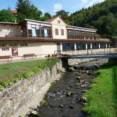 Water parks & thermal poolsSklené Teplice: Parenica cave steam bath and thermal bathsSklené Teplice23 km from Buchlov (Vtáčnik)Sklené Teplice is a small spa in a wooded valley of the Štiavnické vrchy hills, a few kilometres from the Hron valley and about 8 km from Banská Štiavnica.
 Craft producersKremnica gingerbread: the Haurík family bakery since 1922Kremnica27 km from Buchlov (Vtáčnik)Kremnica is an old mining town in the Kremnica Mountains where coins have been struck for more than six centuries.
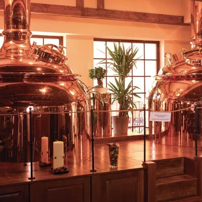 Craft beer & breweriesERB brewery in Banská Štiavnica: brewery tour and tastingBanská Štiavnica29 km from Buchlov (Vtáčnik)Banská Štiavnica is an old mining town in the caldera of an extinct volcano and a UNESCO World Heritage site.
