Prievidza District
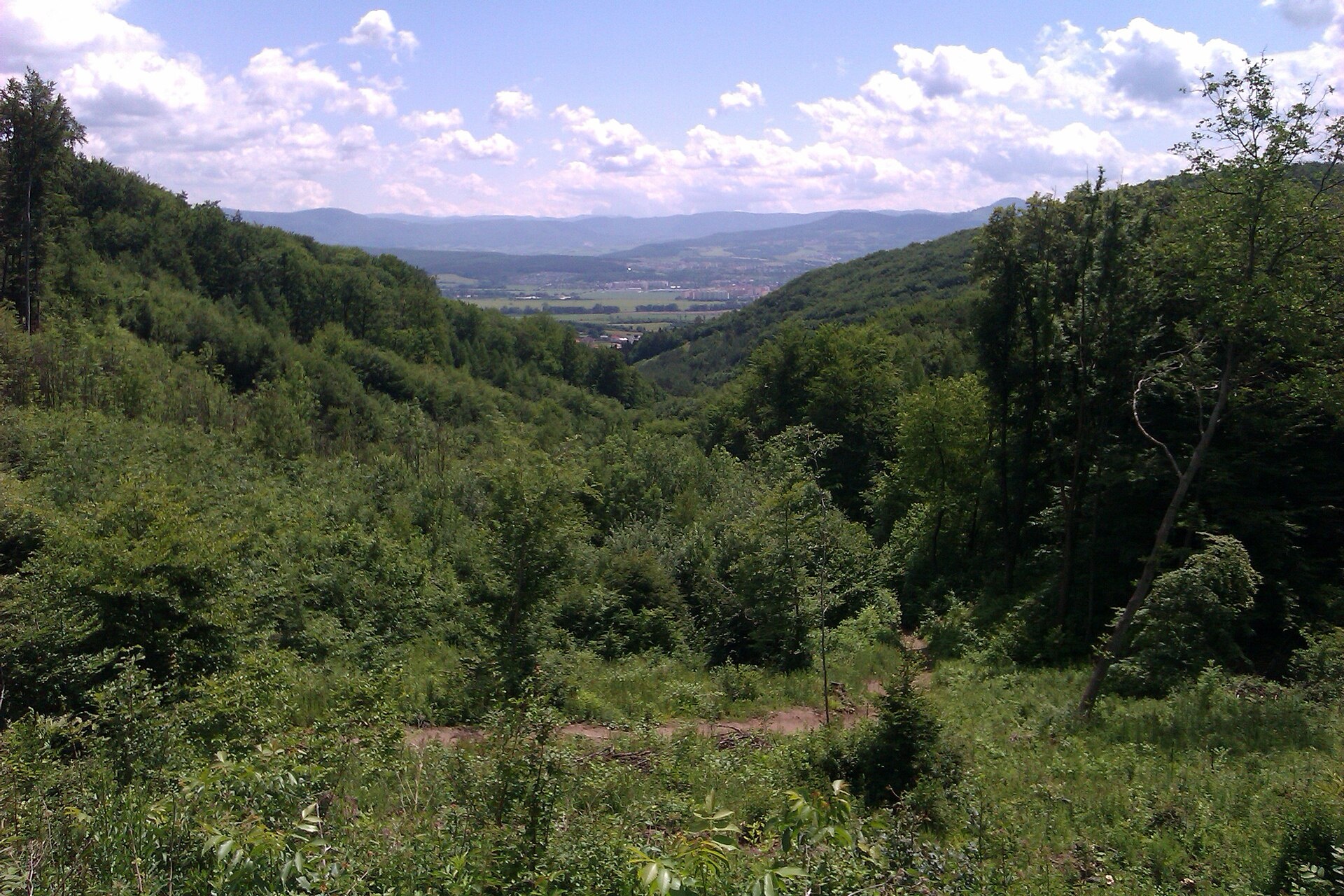
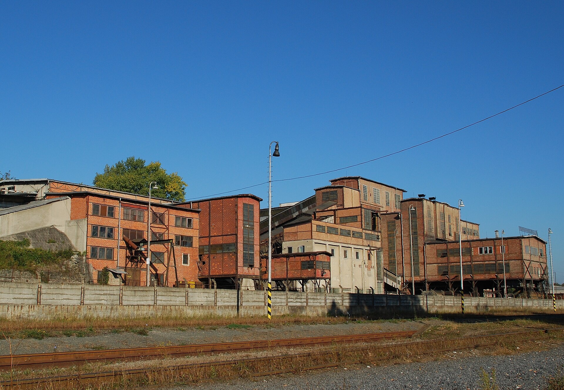
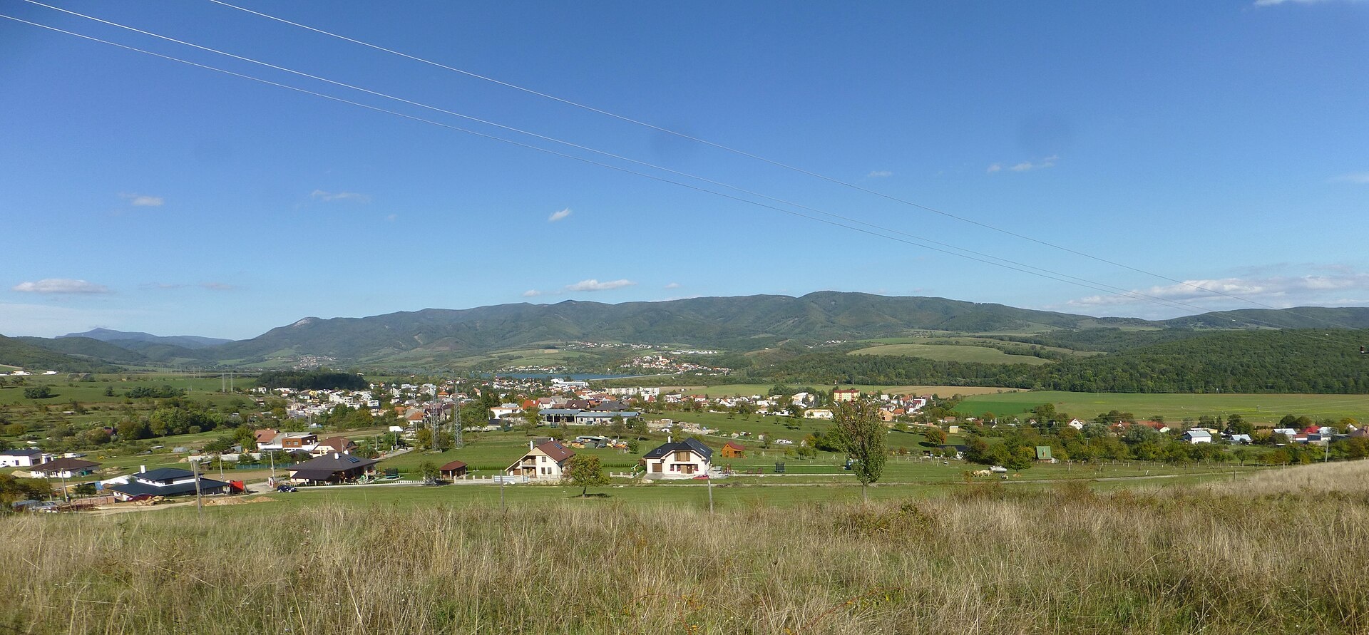
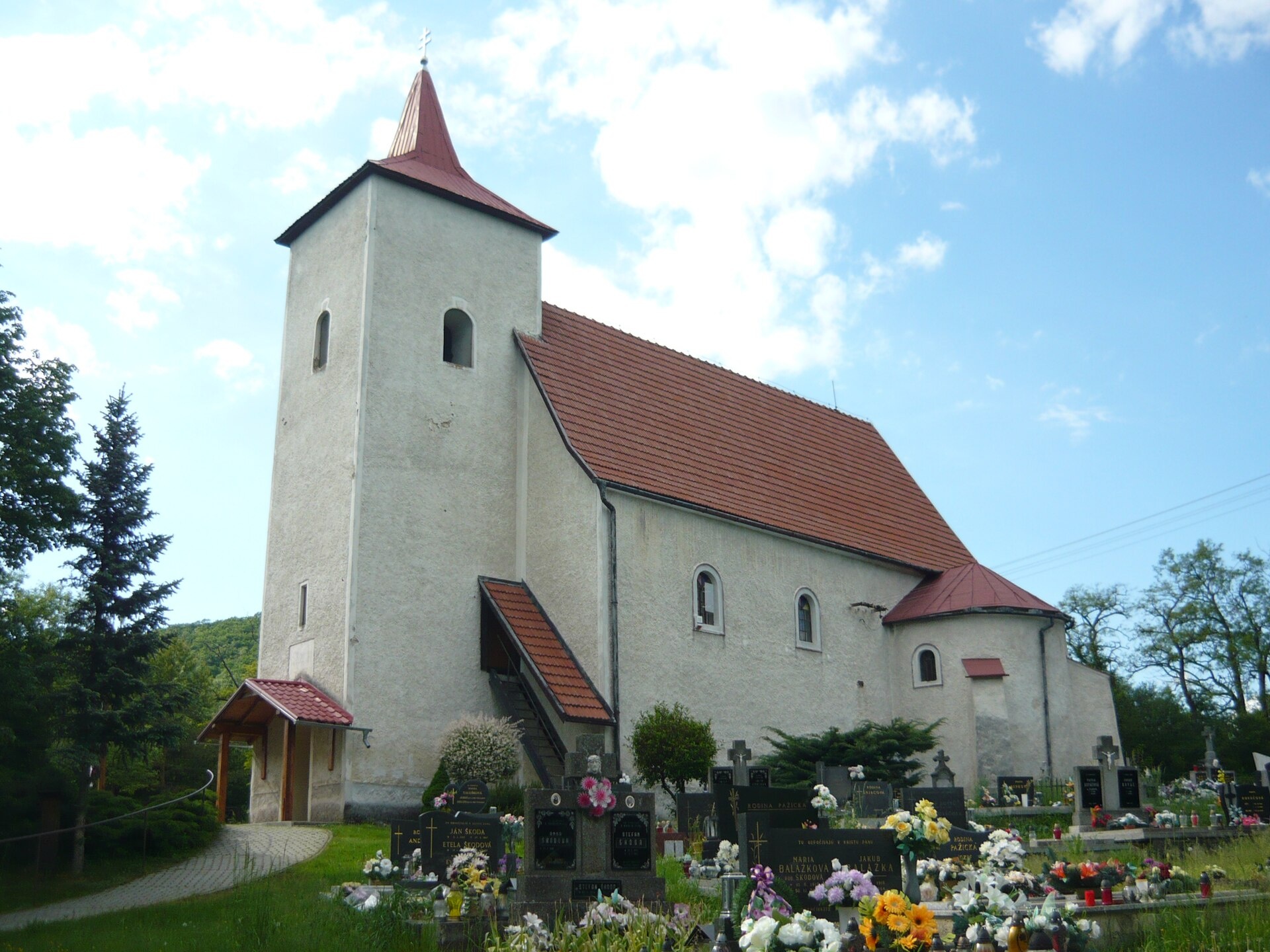
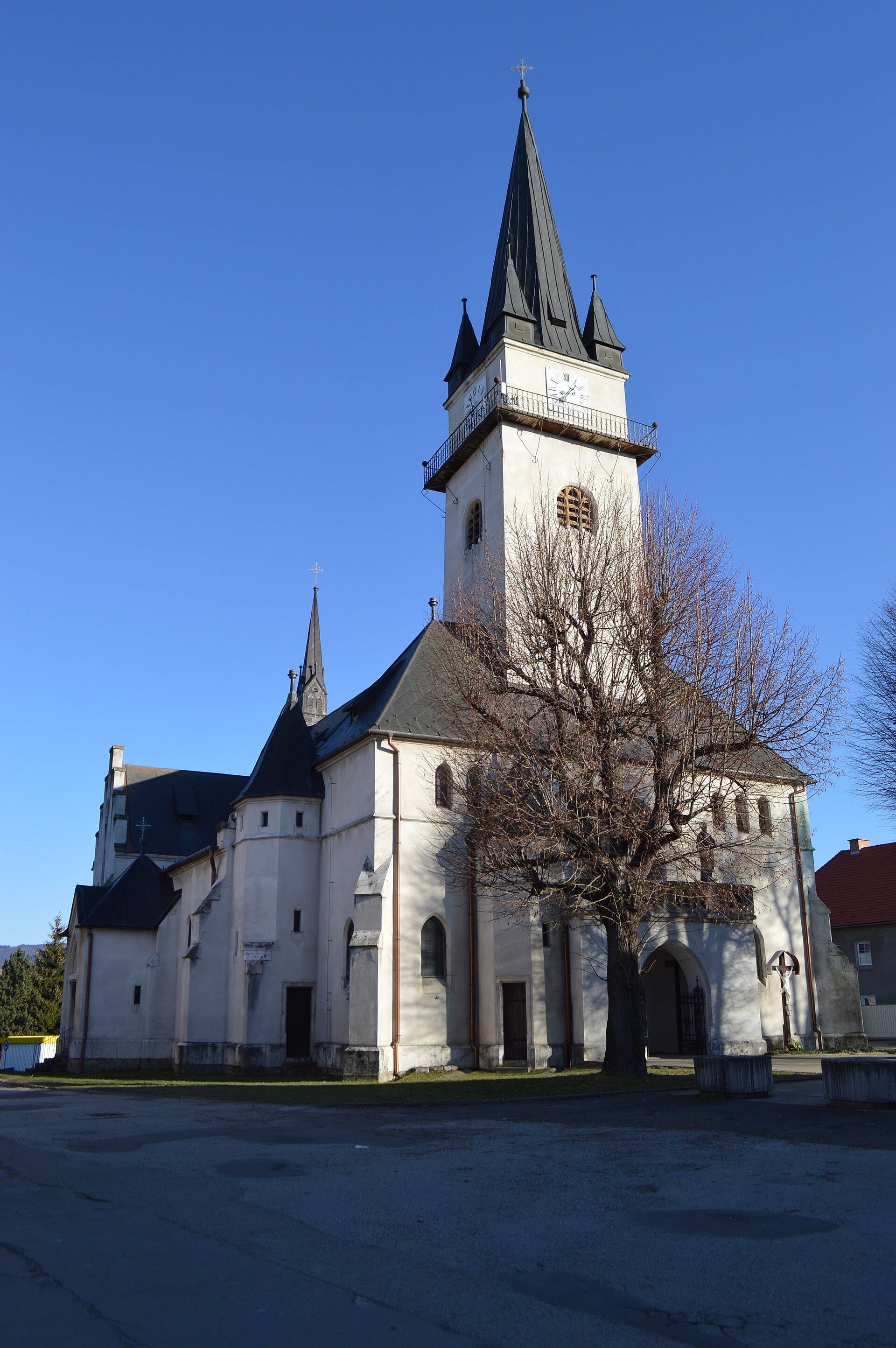
Photos: Bojnice (Branik P, CC BY-SA 3.0); Handlová (KamilkMT, CC BY-SA 3.0); Nitrianske Rudno (Ondrej Pelech, CC BY-SA 4.0); Bystričany (Mutichou, CC BY-SA 3.0); Nitrianske Pravno (Elenyyy, CC BY-SA 4.0)
Prievidza District is an administrative district in the Trenčín Region of Slovakia, with its centre in the town of Prievidza. Until 1918, most of the district belonged to the Hungarian county of Nyitra, except for the area around Handlová, which was part of Bars county. The district lies in the central part of the country and borders several neighbouring districts from different regions.
Prievidza is known for its natural landscapes, including the Zliechov Hills, Kľak, Kunešov Hills, Lučanská Fatra, Lučanské Windy Balds, Nitrianske Hills, and the Nitrianske Rudno reservoir. The area attracts visitors with its variety of mountain routes and scenic views.
The site features objects in towns and villages such as Bojnice, Valaská Belá, Handlová, Bystričany, Lehota pod Vtáčnikom, and Nitrianske Rudno. Trails include Prievidza – Veľký Grič, Ponitrianska Magistrála, and the Zoltán Kiss Trail. Notable sights are Bojnice Castle and local breweries like Galgenberg and Panský. For relaxation, there is the Bojnice spa and the thermal swimming pool Chalmová.
Getting there from Ukraine
From Uzhhorod to Žilina ≈330 km, ≈4 h 20 min without queues: Uzhhorod – Vyšné Nemecké → I/19 to Košice → D1 via Prešov, Poprad, Liptovský Mikuláš and Ružomberok (≈17 km on I/18 between D1 sections) → Žilina. To Terchová ≈314 km, ≈4 h 15 min: from the D1 onto I/70 and II/583. From Lviv through Poland: M-10 → Krakovets – Korczowa → A4 to Kraków → S7/DK7 to Chyżne – Trstená → R3, I/59 to Dolný Kubín → II/583 via Terchová to Žilina: to Terchová ≈493 km (≈6 h 30 min), to Žilina ≈518 km (≈7 h). Via the tolled A4 Kraków – Katowice, S1 and D3: ≈533 km, ≈6 h 35 min. The D1 requires an e-vignette (eznamka.sk).
Sources: Wikipedia, Wikidata, OpenStreetMap, Karpaty.rocks data.
Towns and villages
 Handlová5 trails, 2 peaks
 Bojnice4 trails, 1 sight, 1 craft place
 Valaská Belá6 trails, 1 mountain hut or shelter
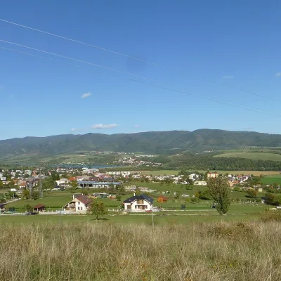 Nitrianske Rudno4 trails, 1 peak
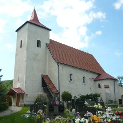 Bystričany4 trails, 1 spa or thermal pool
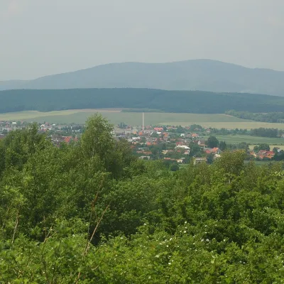 Lehota pod Vtáčnikom4 trails
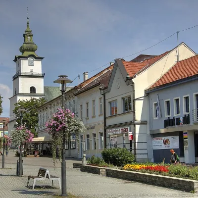 Prievidza3 trails
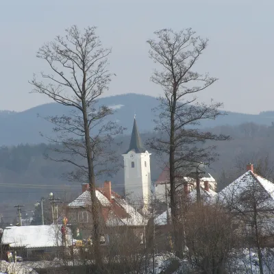 Nedožery-Brezany3 trails
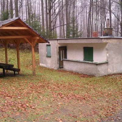 Cigeľ3 trails
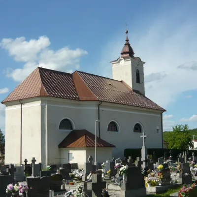 Horná Ves3 trails
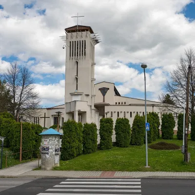 Kanianka2 trails
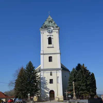 Oslany2 trails
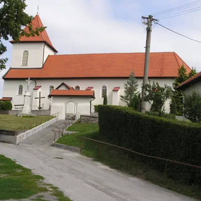 Kamenec pod Vtáčnikom2 trails
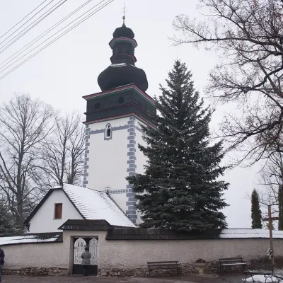 Poruba2 trails
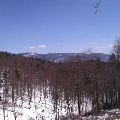 Liešťany2 trails
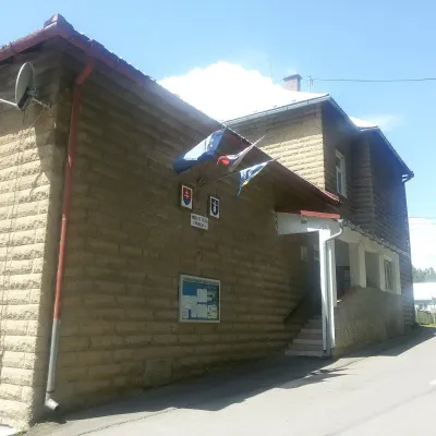 Chvojnica2 trails
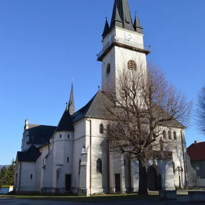 Nitrianske Pravno1 craft place
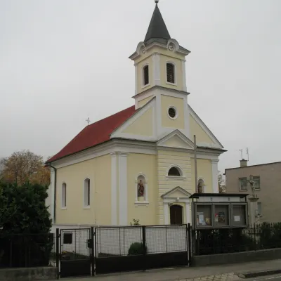 Dolné Vestenice1 trail
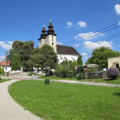 Diviaky nad Nitricou1 trail
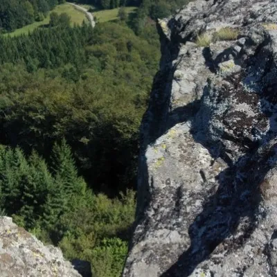 Čereňany1 peak
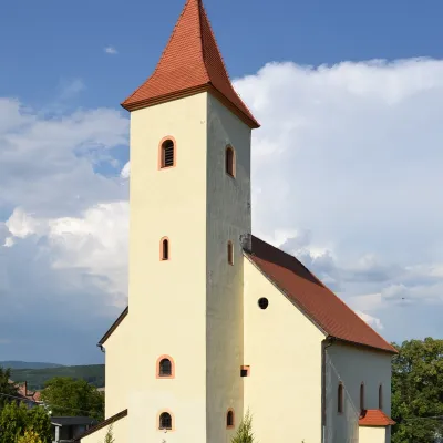 Diviacka Nová Ves1 trail
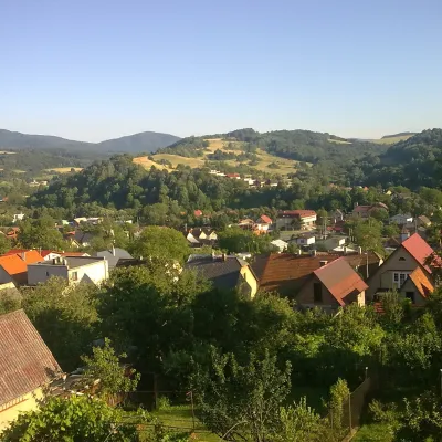 Ráztočno1 trail
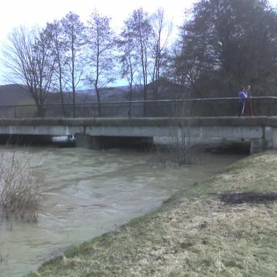 Nitrianske Sučany1 trail
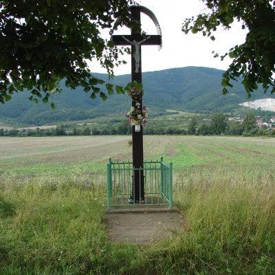 Nitrica1 trail
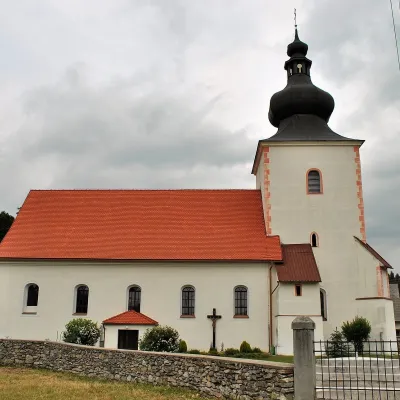 Kľačno1 trail
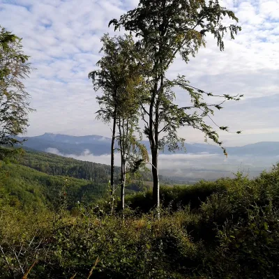 Malinová1 trailHorné Vestenice1 trail
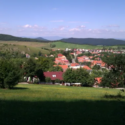 Radobica1 trail
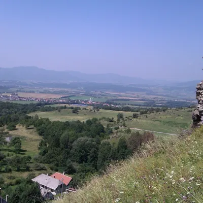 Podhradie1 trail
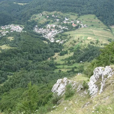 Temeš1 trail
Getting there from Ukraine
Border crossings
- Uzhhorod – Vyšné Nemecké — road, 24/7
- Malyi Bereznyi – Ubľa — road, 24/7 For cars and buses; pedestrians not confirmed by the Ukrainian border service, lorries up to 3.5 t.
- Mali Selmentsi – Veľké Slemence (pedestrian) — pedestrian, 09:00–21:00 Kyiv time Pedestrians and cyclists only; inconvenient for the Tatras without onward transport.
- Chop – Čierna nad Tisou (rail) — rail, 24/7
By car
From Uzhhorod to Žilina ≈330 km, ≈4 h 20 min without queues: Uzhhorod – Vyšné Nemecké → I/19 to Košice → D1 via Prešov, Poprad, Liptovský Mikuláš and Ružomberok (≈17 km on I/18 between D1 sections) → Žilina. To Terchová ≈314 km, ≈4 h 15 min: from the D1 onto I/70 and II/583. From Lviv through Poland: M-10 → Krakovets – Korczowa → A4 to Kraków → S7/DK7 to Chyżne – Trstená → R3, I/59 to Dolný Kubín → II/583 via Terchová to Žilina: to Terchová ≈493 km (≈6 h 30 min), to Žilina ≈518 km (≈7 h). Via the tolled A4 Kraków – Katowice, S1 and D3: ≈533 km, ≈6 h 35 min. The D1 requires an e-vignette (eznamka.sk).
Checked 23.10.2026; border crossing hours and timetables change — check before you travel.
