Bystričany
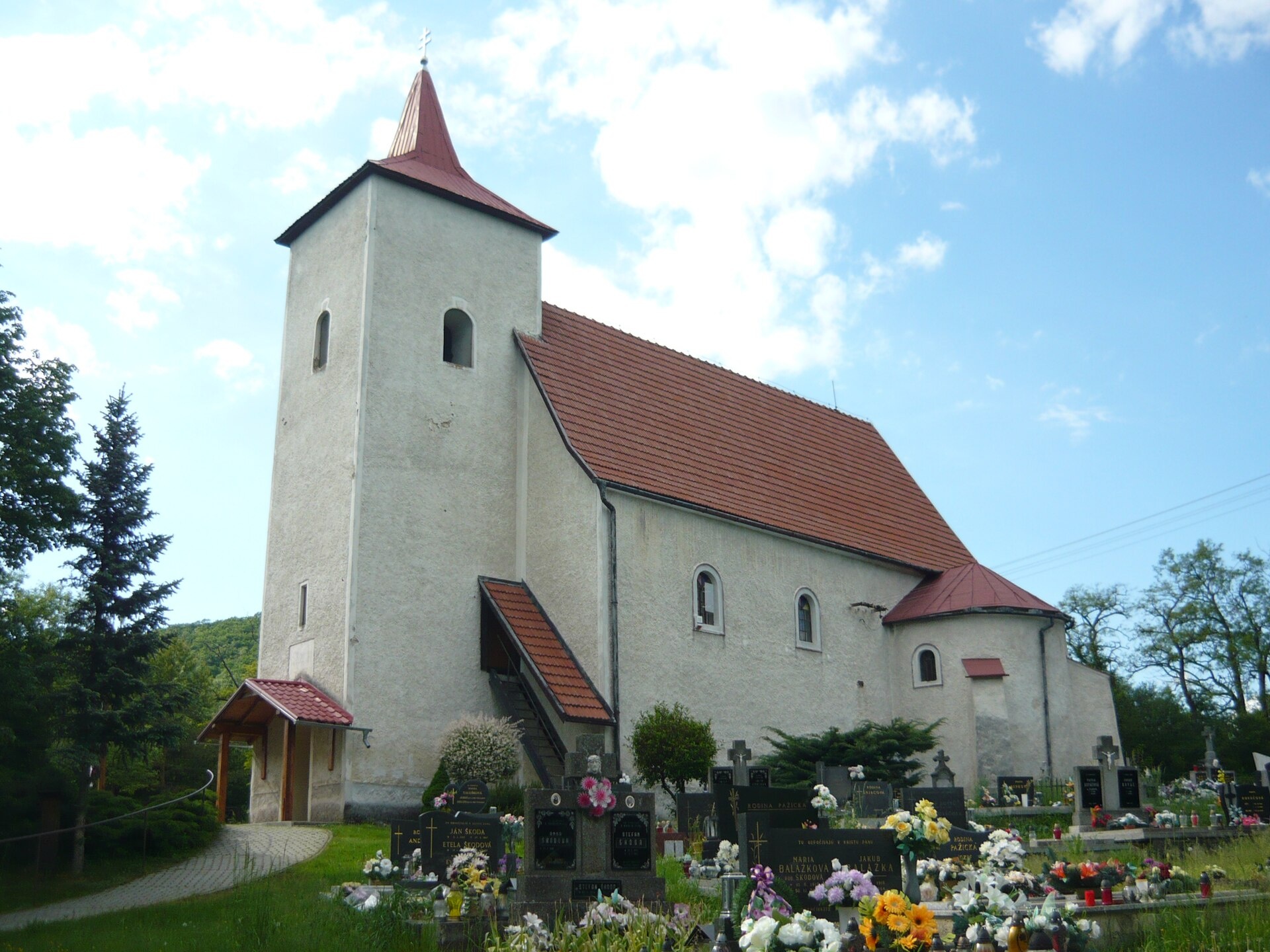
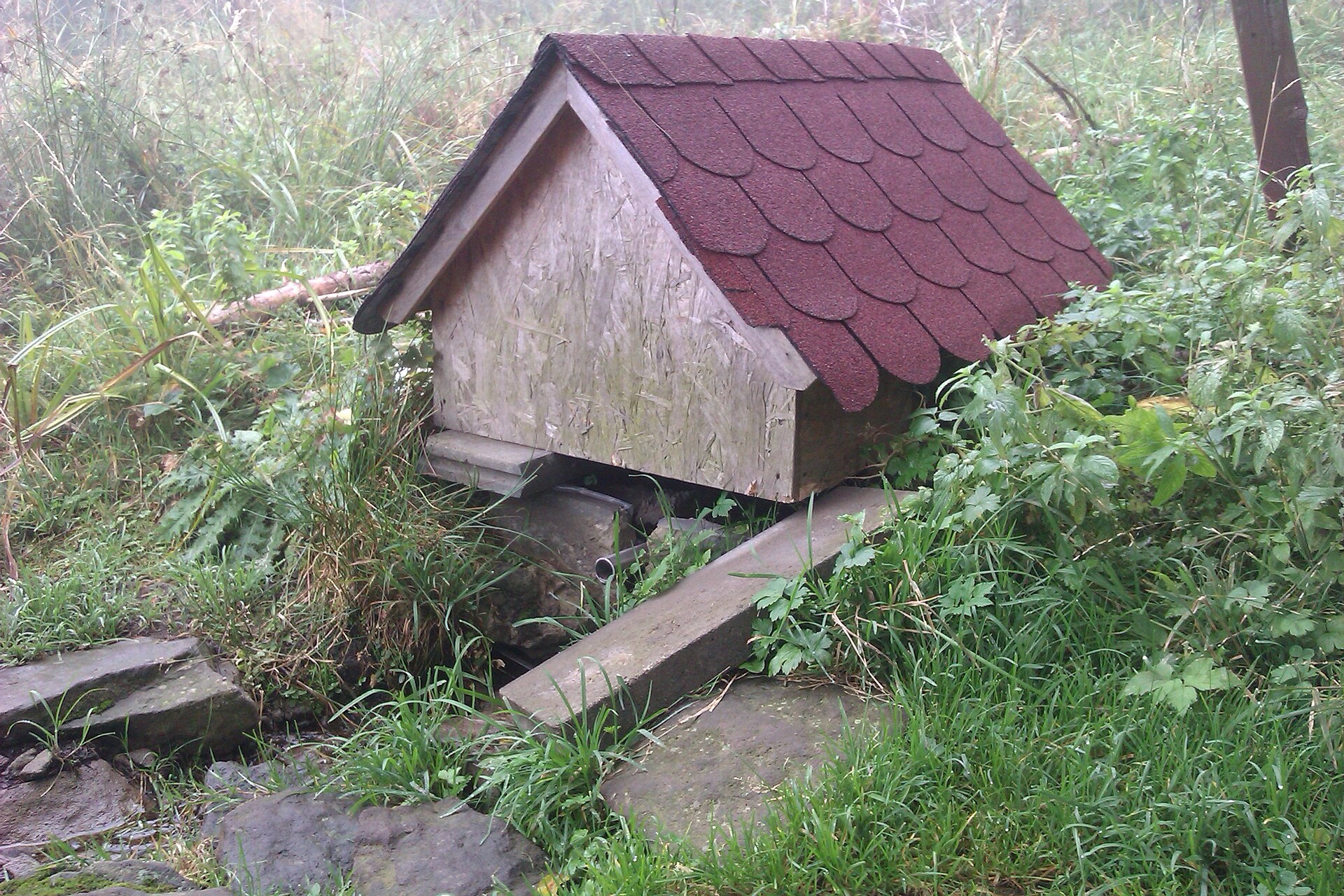
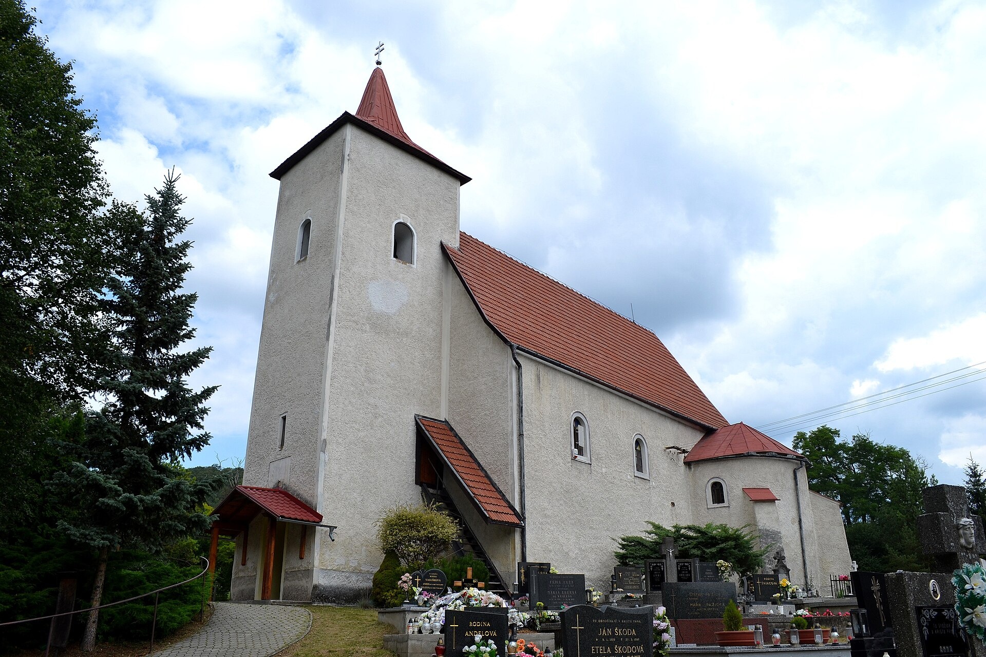
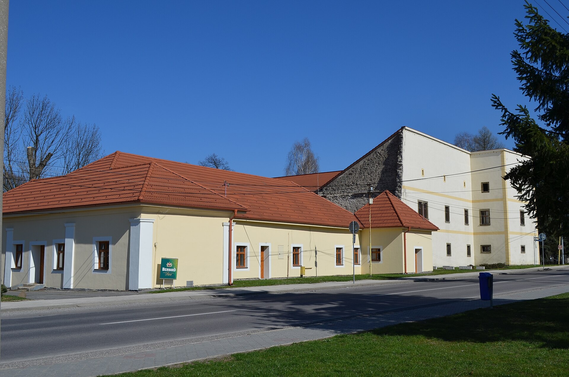
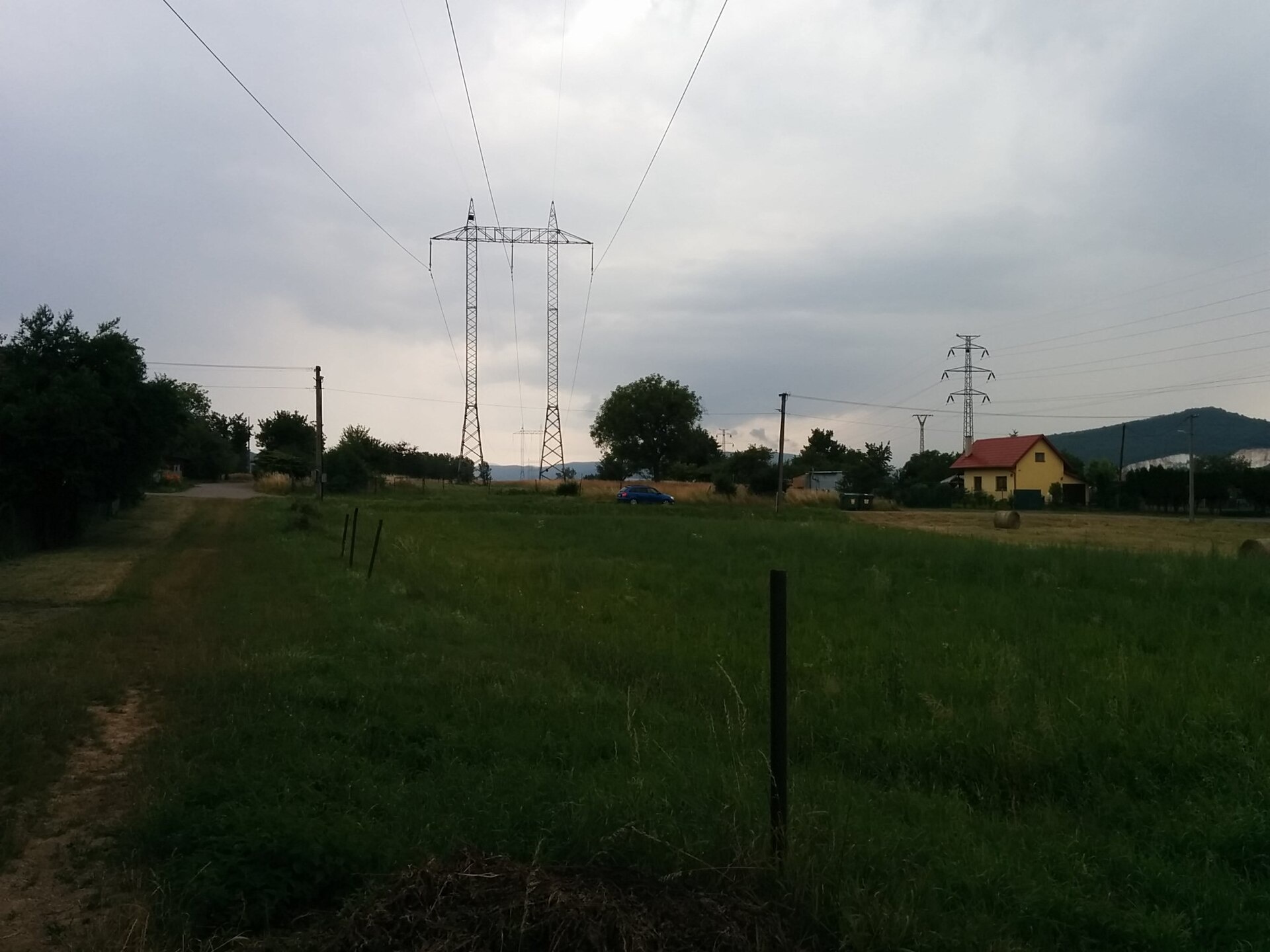
Photos: Mutichou, CC BY-SA 3.0 (Wikimedia Commons); Branik P, CC BY-SA 3.0 (Wikimedia Commons); Ľuboš Repta, CC BY-SA 4.0 (Wikimedia Commons); CsFeri, CC BY-SA 3.0 (Wikimedia Commons); Matej Grochal, CC BY-SA 4.0 (Wikimedia Commons); Matej Grochal, CC BY-SA 4.0 (Wikimedia Commons)
Bystričany is a village and municipality in the Prievidza District of the Trenčín Region, Slovakia. The settlement is situated at an altitude of 239 metres and covers an area of 37.63 km². Bystričany lies near the Strážov Mountains, with the Bystrica River flowing through the village, adding to its scenic character.
The first historical mention of Bystričany dates back to 1388. Over the centuries, the village has become part of the cultural and natural landscape of western Slovakia.
Bystričany is known for its natural surroundings and proximity to the Strážov Mountains. Visitors can enjoy diverse landscapes and experience the atmosphere of a traditional Slovak village. The village has a railway station on line 140, which provides convenient access to nearby towns and natural attractions.
Outdoor enthusiasts can choose from numerous hiking trails, such as "Legota pod Vtačníkom – Pod Vtačníkom", "Diviacka Nová Ves – Vozore", "František Madva Educational Trail", or "Uhrovec Castle – Skačany". The region also features the Buchlov peak for mountain lovers. For relaxation, the Hal’mová Thermal Bath near Prievidza is available.
Getting there from Ukraine
From Uzhhorod to Žilina is about 330 km (approx. 4 h 20 min without queues): Uzhhorod – Vyšné Nemecké → I/19 to Košice → D1 via Prešov, Poprad, Liptovský Mikuláš and Ružomberok (approx. 17 km on I/18 between D1 sections) → Žilina. To Terchová: about 314 km (approx. 4 h 15 min) via I/70 and II/583 from the D1. From Lviv via Poland: M-10 → Krakovets – Korczowa → A4 to Kraków → S7/DK7 to Chyżne – Trstená → R3, I/59 to Dolný Kubín → II/583 via Terchová to Žilina: to Terchová about 493 km (approx. 6 h 30 min), to Žilina about 518 km (approx. 7 h). Via the tolled A4 Kraków – Katowice, S1 and D3: about 533 km (approx. 6 h 35 min). The D1 requires an e-vignette (eznamka.sk).
Sources: Wikipedia, Wikidata, OpenStreetMap, Karpaty.rocks data. More on Wikipedia
Trails nearby
All trails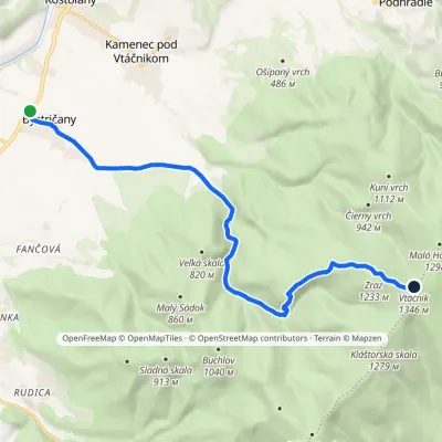 ModerateOne-dayMarkedChodník Petra ŠkolnuElevation profile255–1 346 m13.8 kmascent 1 091 m≈ 5.5 h walkingunder 1 km from the centre
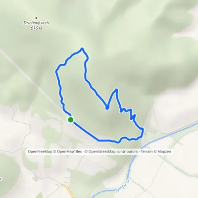 EasyOne-dayMarkedChalmová, Spa Chalmová, Spa, LoopElevation profile226–599 m4.9 kmascent 350 m≈ 2 h walking2.2 km from the centre
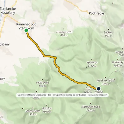 ModerateOne-dayMarkedKamenec pod Vtáčnikom VtáčnikElevation profile289–1 346 m9.6 kmascent 1 057 m≈ 4.5 h walking2.5 km from the centre
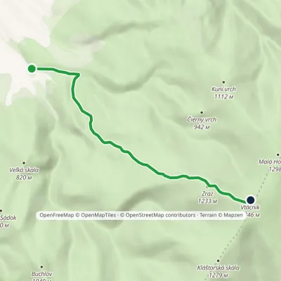 ModerateOne-dayMarkedVtáčnik Educational TrailElevation profile406–1 346 m6.7 kmascent 940 m≈ 3.5 h walking3.9 km from the centre
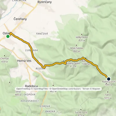 ModerateOne-dayMarkedOslany Rúbaný vrchElevation profile234–1 106 m13.6 kmascent 1 084 m≈ 5.5 h walking4.2 km from the centre
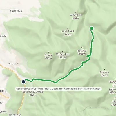 EasyOne-dayMarkedRadobická dolina Bystričianska dolinaElevation profile348–923 m7.8 kmascent 276 m≈ 2.5 h walking6.1 km from the centre
Peaks nearby
All peaks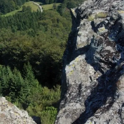
What to visit
All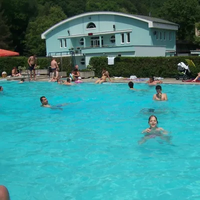 Water parks & thermal poolsChalmová Thermal Pool near PrievidzaBystričany2.1 km from the centreChalmová Thermal Pool (Termálne kúpalisko Chalmová) is a public pool complex in the village of Chalmová, part of the municipality of Bystričany, about 14 km south of...
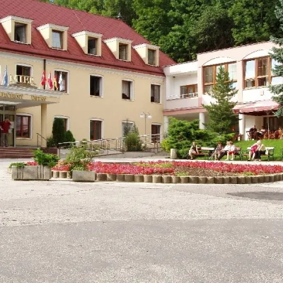 Water parks & thermal poolsBojnice Spa: thermal springs, pools and treatmentsBojnice14 km from the centreBojnice Spa (Kúpele Bojnice) lies on the edge of the town of Bojnice, about 3 km from Prievidza, in the Upper Nitra basin – at the eastern foot of the Malá Magura...
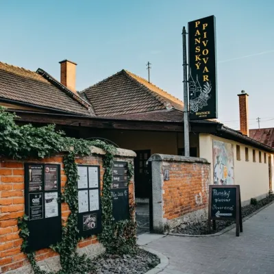 Craft beer & breweriesPanský pivovar Bojnice: unfiltered craft beer below the castleBojnice14 km from the centreBojnice is a spa town in the upper Nitra valley at the foot of the Strážov Hills, famous for the fairy-tale castle of the Pálffy family.
Craft nearby
All craft places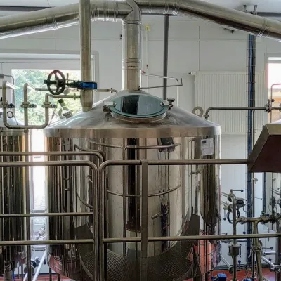 Craft beer & breweriesGalgenberg brewery in Nitrianske Pravno: tour and beer from the tankNitrianske Pravno25 km from the centreNitrianske Pravno is a large village at the northern end of the Upper Nitra basin, 12 km from Prievidza, where the river Nitra leaves the Malá Magura and Žiar hills.
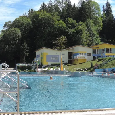 Water parks & thermal poolsVodný raj thermal pools in VyhneVyhne26 km from the centreVodný raj Vyhne ("Water Paradise") is a public pool complex with thermal water in the village of Vyhne, in a quiet wooded valley of the Štiavnické vrchy hills near the...
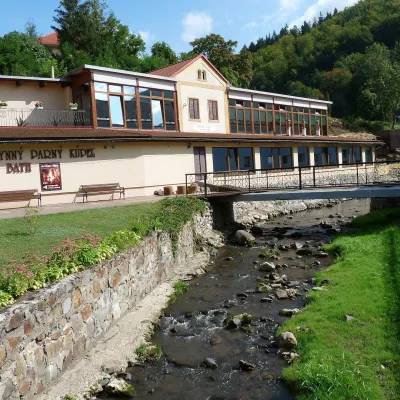 Water parks & thermal poolsSklené Teplice: Parenica cave steam bath and thermal bathsSklené Teplice29 km from the centreSklené Teplice is a small spa in a wooded valley of the Štiavnické vrchy hills, a few kilometres from the Hron valley and about 8 km from Banská Štiavnica.
Spas and thermal pools nearby
Water parks & thermal poolsChalmová Thermal Pool near PrievidzaBystričany2.1 km from the centreChalmová Thermal Pool (Termálne kúpalisko Chalmová) is a public pool complex in the village of Chalmová, part of the municipality of Bystričany, about 14 km south of...Water parks & thermal poolsBojnice Spa: thermal springs, pools and treatmentsBojnice14 km from the centreBojnice Spa (Kúpele Bojnice) lies on the edge of the town of Bojnice, about 3 km from Prievidza, in the Upper Nitra basin – at the eastern foot of the Malá Magura...Water parks & thermal poolsVodný raj thermal pools in VyhneVyhne26 km from the centreVodný raj Vyhne ("Water Paradise") is a public pool complex with thermal water in the village of Vyhne, in a quiet wooded valley of the Štiavnické vrchy hills near the...Huts, shelters and springs nearby
Getting there from Ukraine
Border crossings
- Uzhhorod – Vyšné Nemecké — road, 24/7
- Malyi Bereznyi – Ubľa — road, 24/7 For cars and buses; pedestrians not confirmed by the Ukrainian border service, lorries up to 3.5 t.
- Mali Selmentsi – Veľké Slemence (pedestrian) — pedestrian, 09:00–21:00 Kyiv time Pedestrians and cyclists only; inconvenient for the Tatras without onward transport.
- Chop – Čierna nad Tisou (rail) — rail, 24/7
By car
From Uzhhorod to Žilina ≈330 km, ≈4 h 20 min without queues: Uzhhorod – Vyšné Nemecké → I/19 to Košice → D1 via Prešov, Poprad, Liptovský Mikuláš and Ružomberok (≈17 km on I/18 between D1 sections) → Žilina. To Terchová ≈314 km, ≈4 h 15 min: from the D1 onto I/70 and II/583. From Lviv through Poland: M-10 → Krakovets – Korczowa → A4 to Kraków → S7/DK7 to Chyżne – Trstená → R3, I/59 to Dolný Kubín → II/583 via Terchová to Žilina: to Terchová ≈493 km (≈6 h 30 min), to Žilina ≈518 km (≈7 h). Via the tolled A4 Kraków – Katowice, S1 and D3: ≈533 km, ≈6 h 35 min. The D1 requires an e-vignette (eznamka.sk).
Checked 23.10.2026; border crossing hours and timetables change — check before you travel.
