Trenčín Region
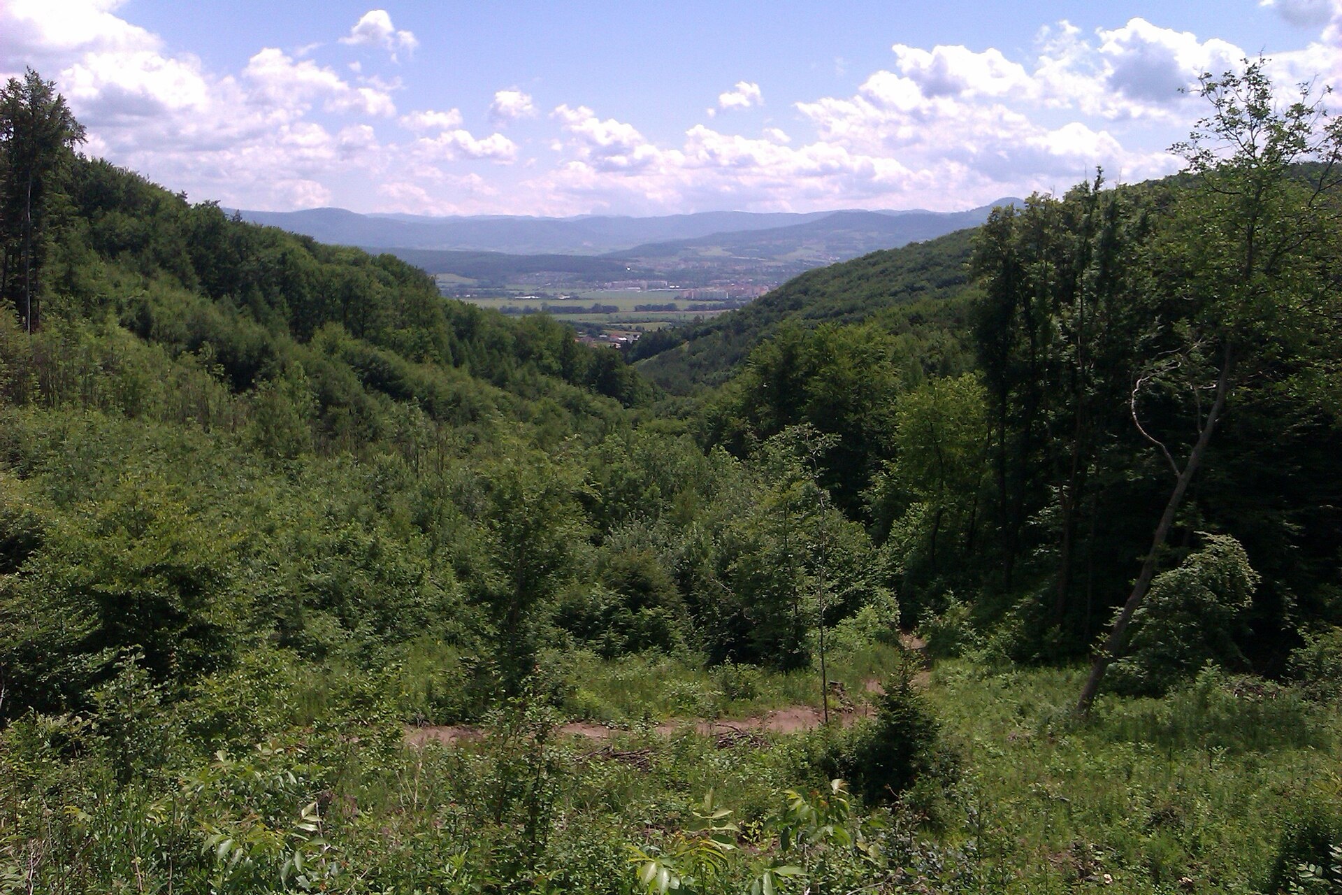
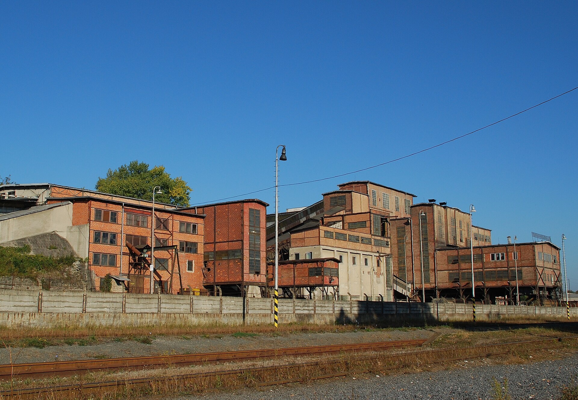
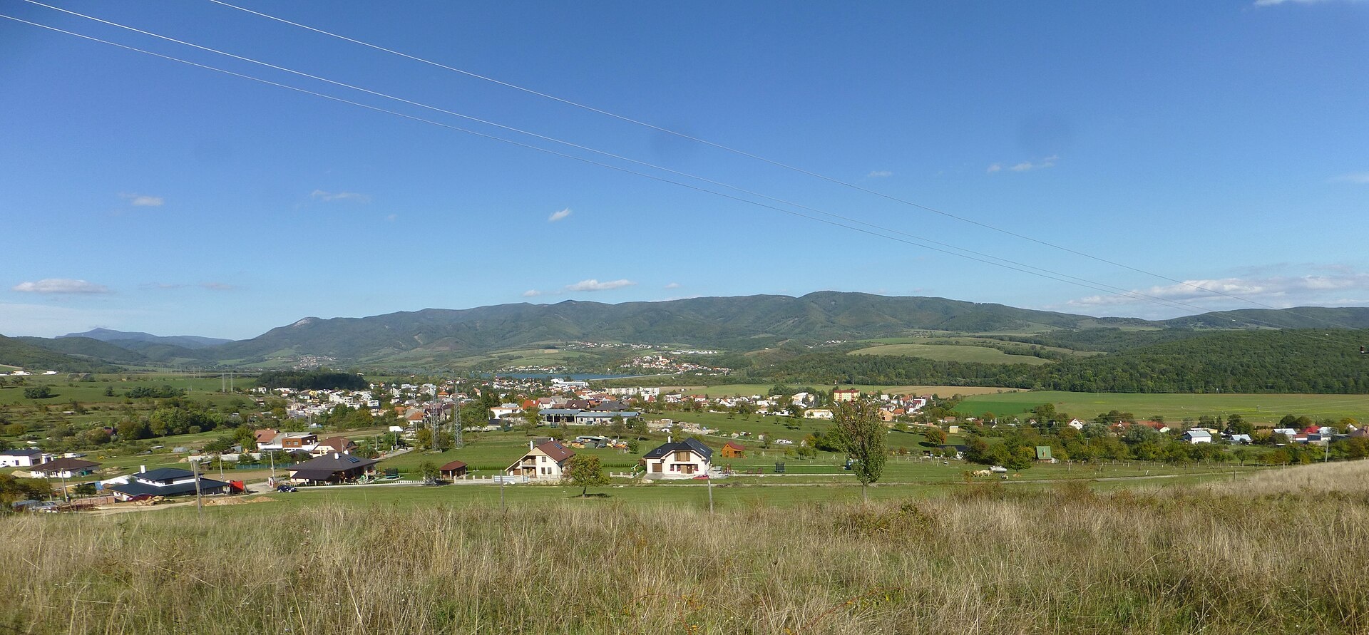
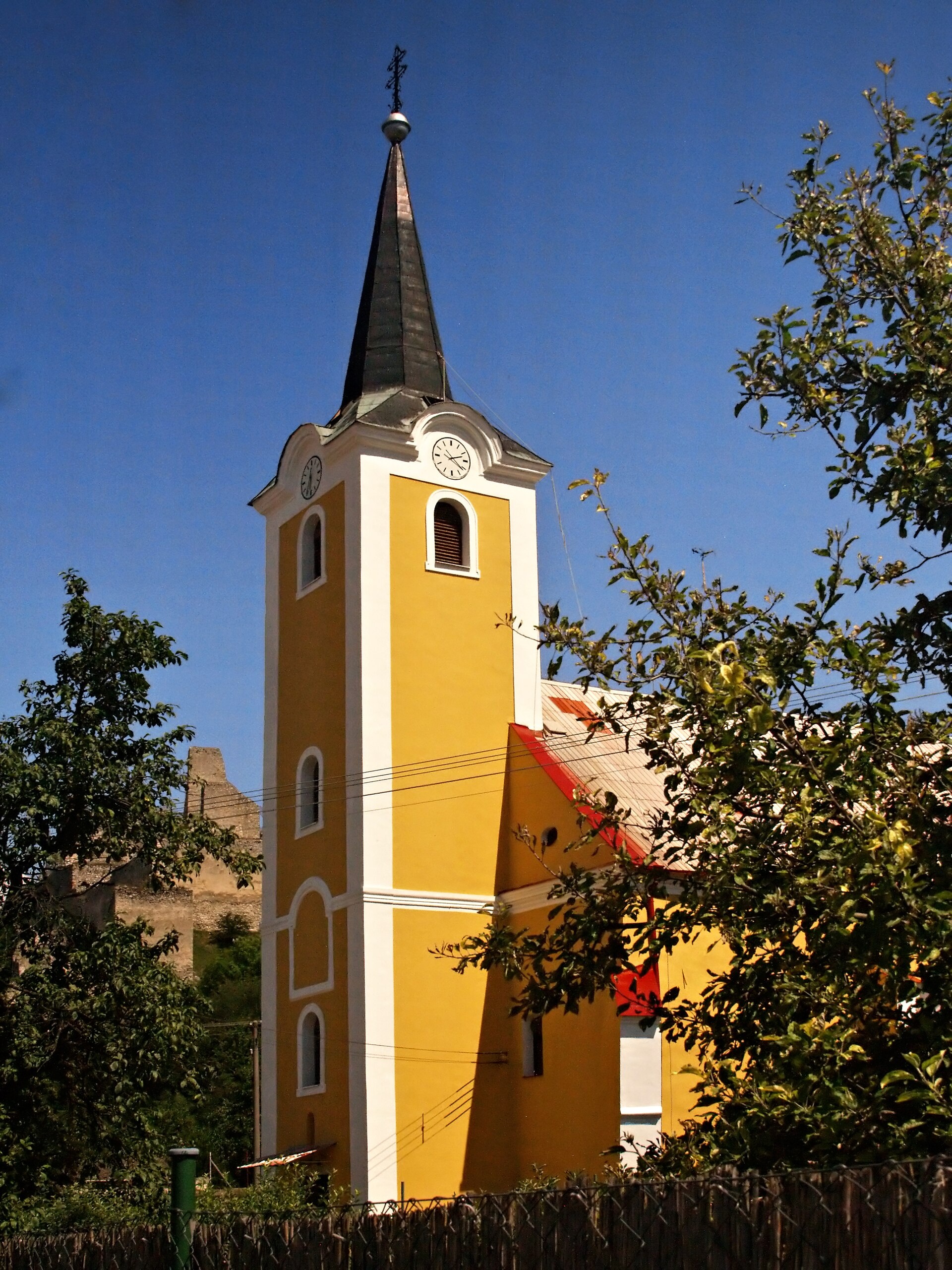
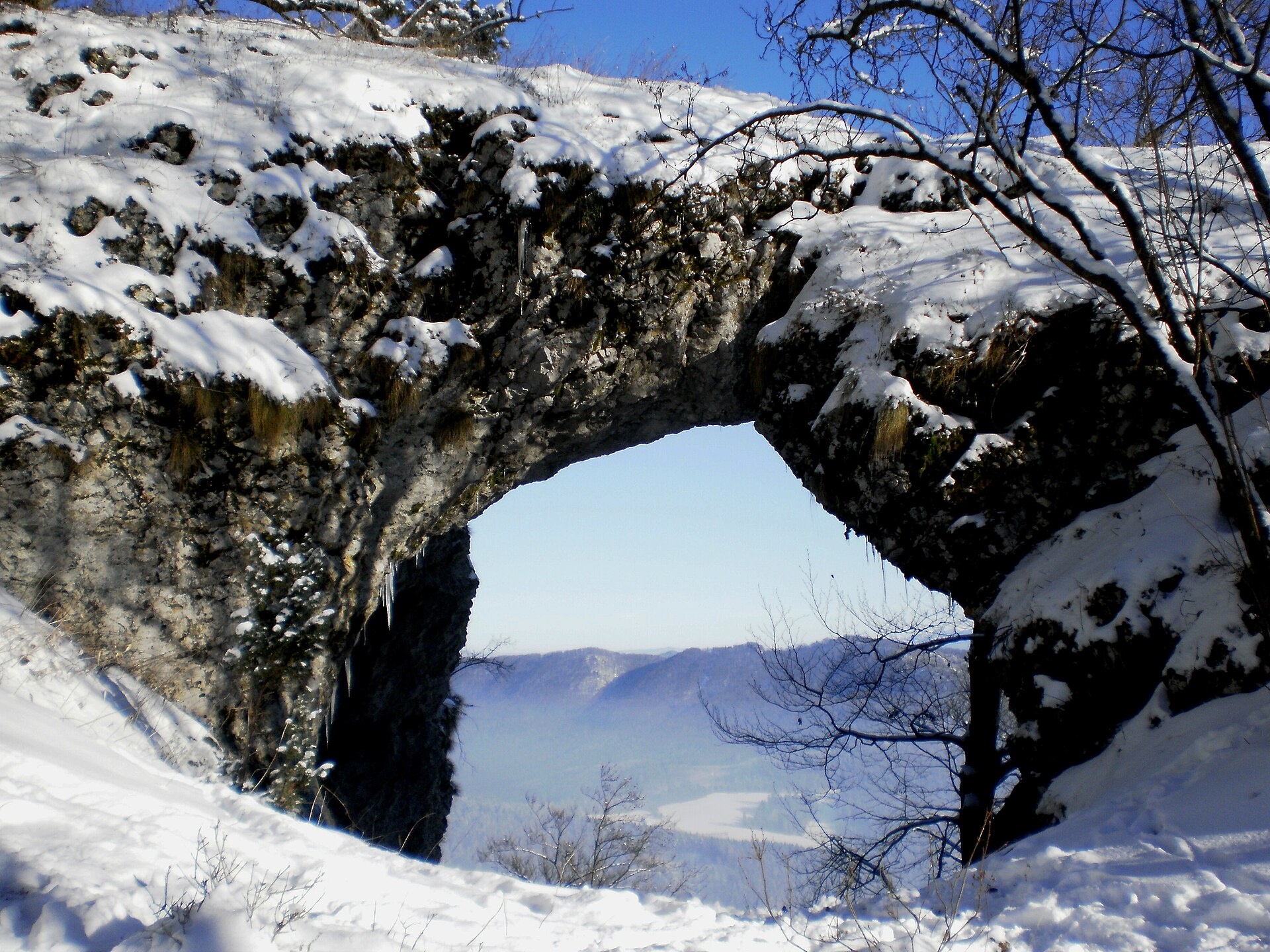
Photos: Bojnice (Branik P, CC BY-SA 3.0); Handlová (KamilkMT, CC BY-SA 3.0); Nitrianske Rudno (Ondrej Pelech, CC BY-SA 4.0); Beckov (Pierre Bona, CC BY-SA 3.0); Považská Bystrica (Michal Jakubský, CC BY 3.0)
Trenčín Region is one of the eight administrative regions of Slovakia, with its centre in the city of Trenčín. The region was established in 1996, having previously been part of the West Slovak Region and partly the Central Slovak Region. Located in western Slovakia, it borders the Czech Republic as well as the Žilina, Banská Bystrica, Nitra, and Trnava regions.
The Trenčín Region is known for its mountain ranges, including parts of the Little Carpathians, White Carpathians, Strážov Mountains, Považský Inovec, Vtáčnik, Žiar, and sections of Lesser Fatra and Kremnica Mountains. The main rivers are the Váh and Nitra. The region attracts visitors with its natural landscapes, hiking opportunities, thermal springs, and traditional crafts.
On karpaty.rocks, you will find over 140 trails, such as "Paprano – Hrholinec Saddle", "Dubnica nad Váhom – Trenčianske Teplice", and "Vršatec – Červený Kameň". Notable peaks include Veľký Lopeník, Makita, and Strážov. Highlights are Bojnice Castle, the meadows of Veľká Javorina, the spas of Bojnice and Trenčianske Teplice, mountain huts, and cheese dairies. The most objects are in the districts of Prievidza, Trenčín, Nové Mesto nad Váhom, and Považská Bystrica.
Getting there from Ukraine
From Uzhhorod to Žilina is about 330 km, around 4 h 20 min without queues: Uzhhorod – Vyšné Nemecké → I/19 to Košice → D1 via Prešov, Poprad, Liptovský Mikuláš and Ružomberok (≈17 km on I/18 between D1 sections) → Žilina. The D1 requires an e-vignette (eznamka.sk).
Sources: Wikipedia, Wikidata, OpenStreetMap, Karpaty.rocks data.
Towns, villages and districts
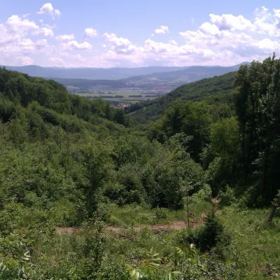 Prievidza Districtokres Prievidza63 trails, 4 peaks, 1 sight
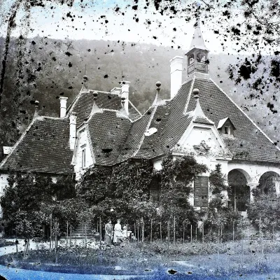 Trenčín Districtokres Trenčín37 trails, 1 peak, 1 spa or thermal pool
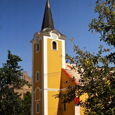 Nové Mesto nad Váhom Districtokres Nové Mesto nad Váhom27 trails, 1 peak, 1 sight
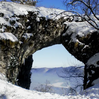 Považská Bystrica Districtokres Považská Bystrica25 trails, 2 craft places, 2 mountain huts and shelters
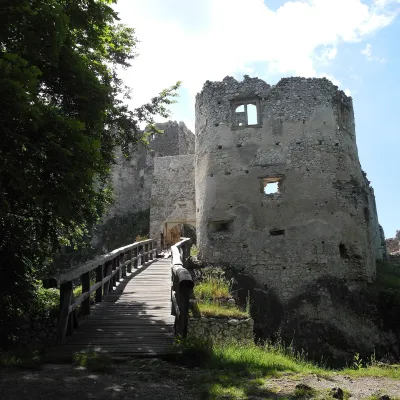 Bánovce nad Bebravou Districtokres Bánovce nad Bebravou22 trails, 1 mountain hut or shelter, 10 settlements
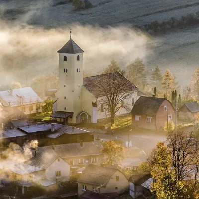 Ilava Districtokres Ilava19 trails, 3 peaks, 11 settlements
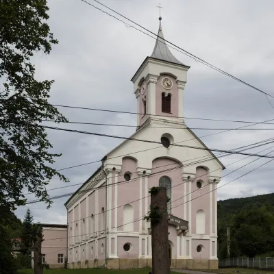 Púchov Districtokres Púchov11 trails, 1 peak, 1 spa or thermal pool
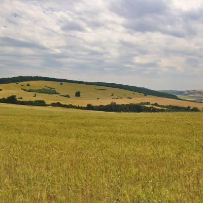 Myjava Districtokres Myjava6 trails, 1 peak, 4 settlements
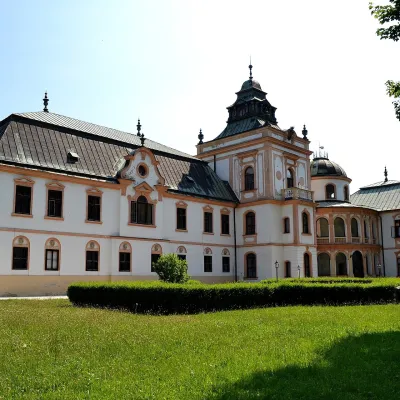 Partizánske Districtokres Partizánske5 trails, 4 settlements
Getting there from Ukraine
Border crossings
- Uzhhorod – Vyšné Nemecké — road, 24/7
- Malyi Bereznyi – Ubľa — road, 24/7 For cars and buses; pedestrians not confirmed by the Ukrainian border service, lorries up to 3.5 t.
- Mali Selmentsi – Veľké Slemence (pedestrian) — pedestrian, 09:00–21:00 Kyiv time Pedestrians and cyclists only; inconvenient for the Tatras without onward transport.
- Chop – Čierna nad Tisou (rail) — rail, 24/7
By car
From Uzhhorod to Žilina ≈330 km, ≈4 h 20 min without queues: Uzhhorod – Vyšné Nemecké → I/19 to Košice → D1 via Prešov, Poprad, Liptovský Mikuláš and Ružomberok (≈17 km on I/18 between D1 sections) → Žilina. To Terchová ≈314 km, ≈4 h 15 min: from the D1 onto I/70 and II/583. From Lviv through Poland: M-10 → Krakovets – Korczowa → A4 to Kraków → S7/DK7 to Chyżne – Trstená → R3, I/59 to Dolný Kubín → II/583 via Terchová to Žilina: to Terchová ≈493 km (≈6 h 30 min), to Žilina ≈518 km (≈7 h). Via the tolled A4 Kraków – Katowice, S1 and D3: ≈533 km, ≈6 h 35 min. The D1 requires an e-vignette (eznamka.sk).
Checked 23.10.2026; border crossing hours and timetables change — check before you travel.
