Považská Bystrica District
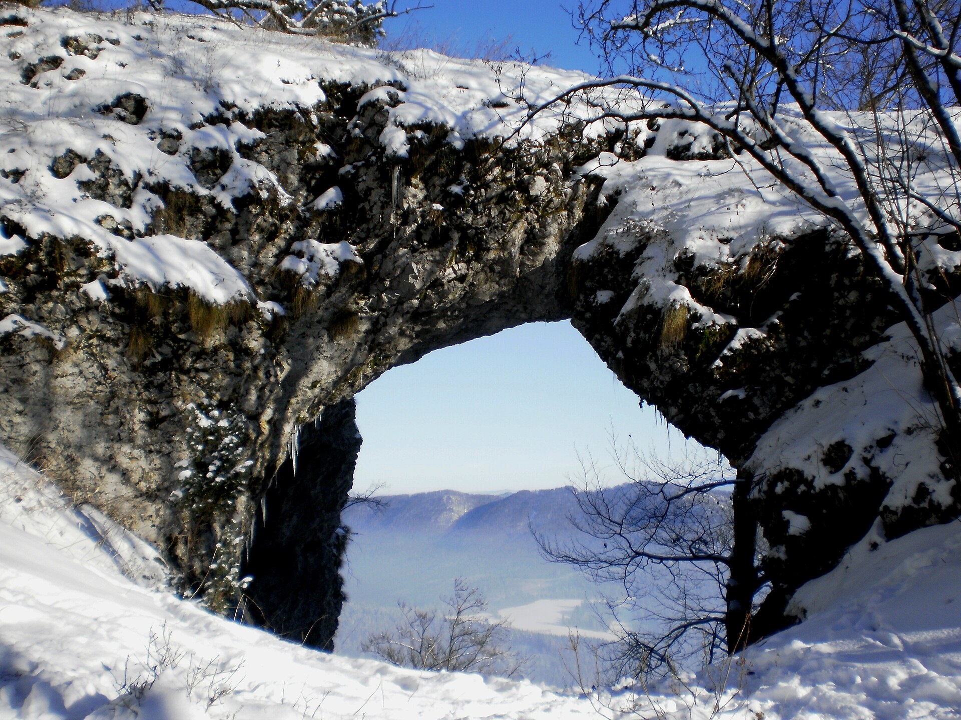
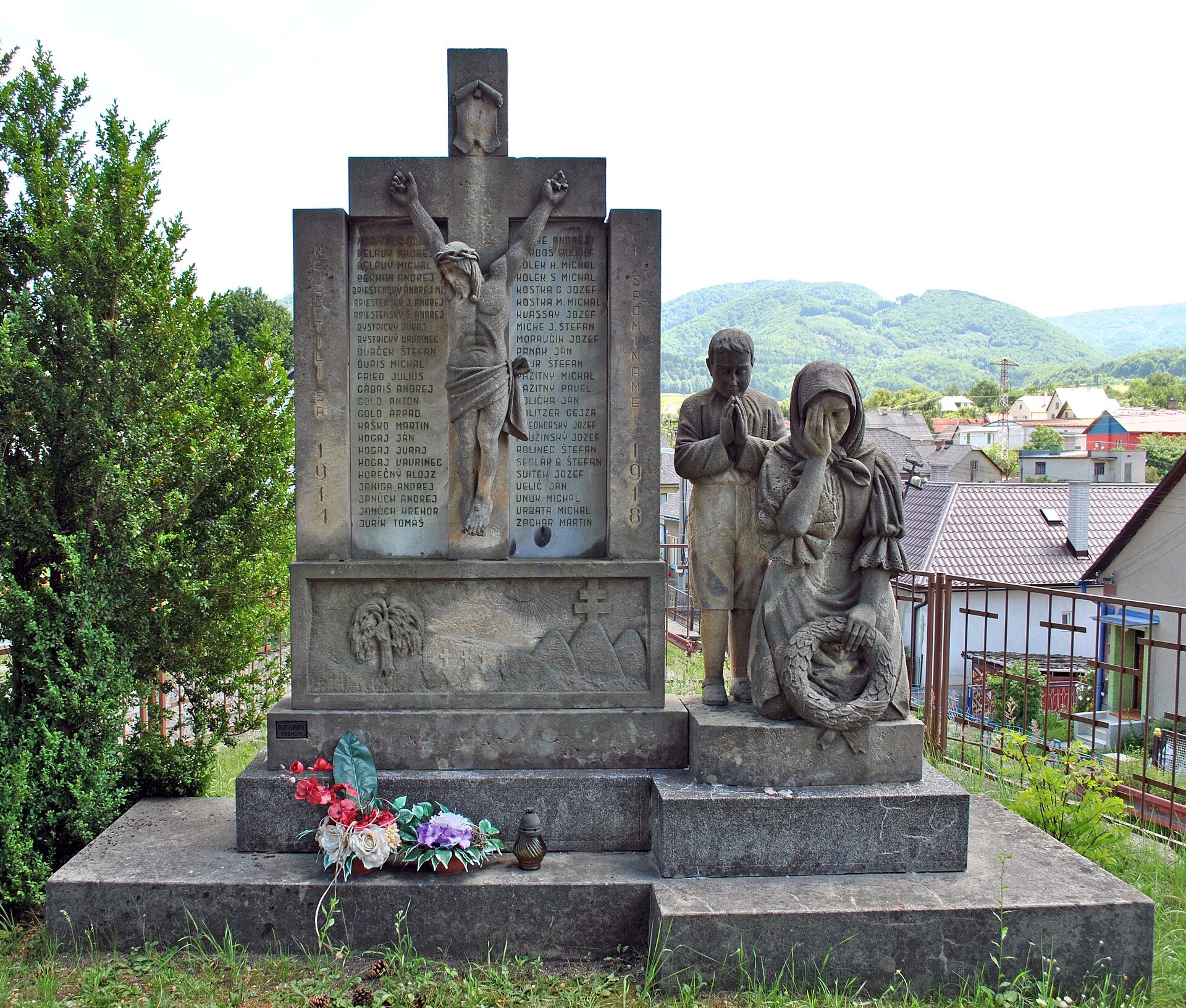
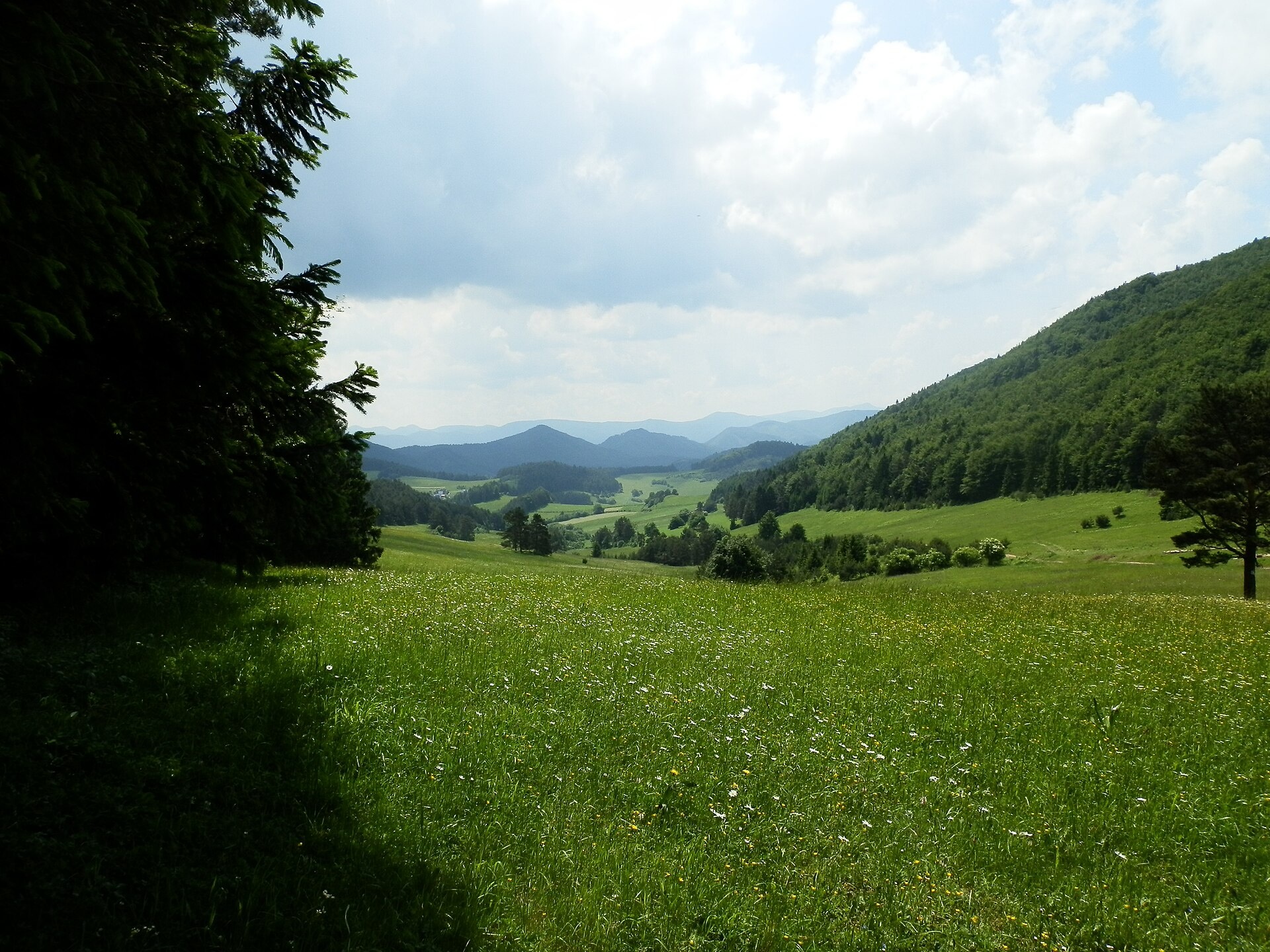
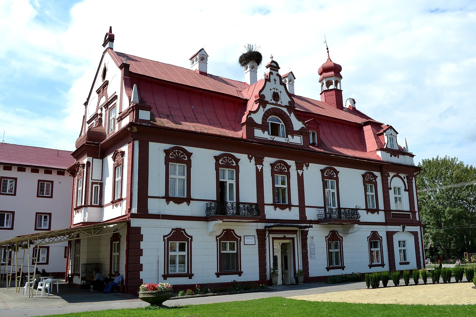
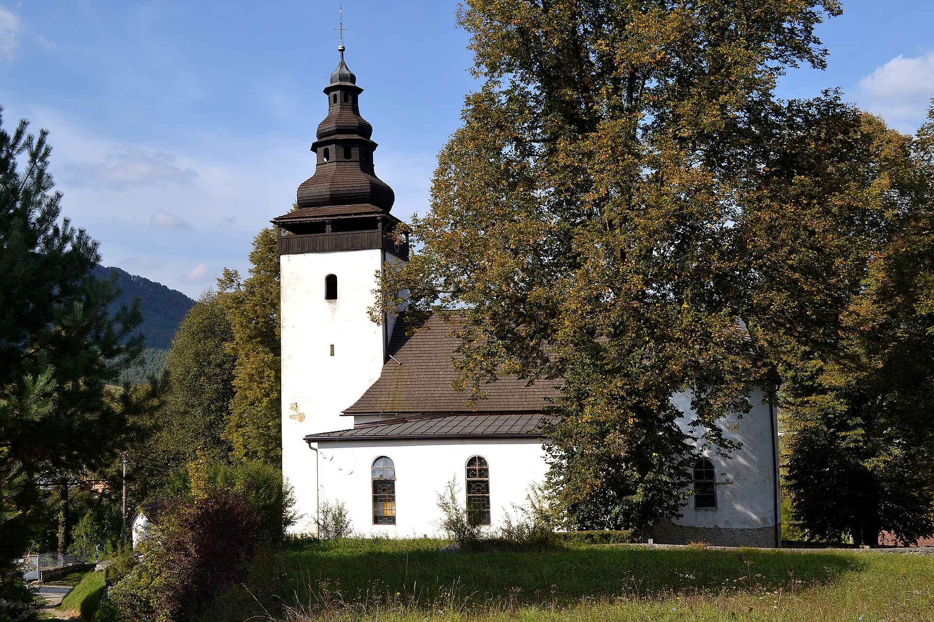
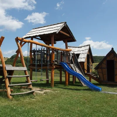
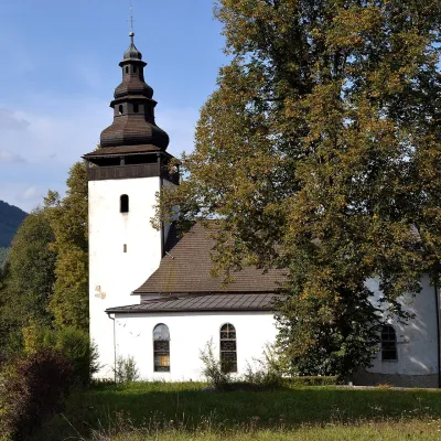
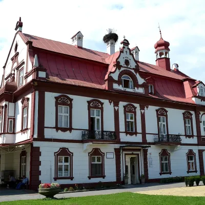
Photos: Považská Bystrica (Michal Jakubský, CC BY 3.0); Pružina (Gaultieri, CC BY-SA 3.0); Vrchteplá (Michal Jakubský, CC BY 3.0); Dolný Lieskov (Ľuboš Repta, CC BY-SA 4.0); Domaniža (Ľuboš Repta, CC BY-SA 4.0)
Považská Bystrica District is an administrative district in the northwestern part of Slovakia, within the Trenčín Region. Its centre is the town of Považská Bystrica. Until 1918, the area was part of the Hungarian county of Trencsén, and the district took its current form in 1996 after an administrative reform. It borders other districts of the Trenčín and Žilina regions, and to the north, the Czech Republic.
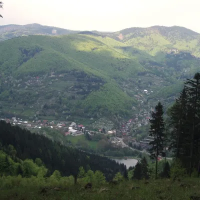
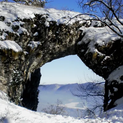
The largest river in Slovakia, the Váh, flows through the district, along with the Podmanín Hills. Notable nature reserves include Babiratka, Kostolecká Gorge, and Manínska Gorge. The region is valued for its scenic landscapes and rich natural environment.
On karpaty.rocks, the district features many objects, especially in Horná Mariková, Považská Bystrica, Pružina, Vrchteplá, Domaniža, Papradno, Dolný Lieskov, and Dolná Mariková. Popular trails include "Papradno – Hrholinec Saddle", "Považská Bystrica – Malý Javorník", "Domaniža – Kľak", as well as the shelters Portáš and Javorka. You can also visit cheese farms: Salaš Orlové near Považská Bystrica and Salaš Pružina.
Getting there from Ukraine
From Uzhhorod to Žilina ≈330 km, ≈4 h 20 min without queues: Uzhhorod – Vyšné Nemecké → I/19 to Košice → D1 via Prešov, Poprad, Liptovský Mikuláš and Ružomberok (≈17 km on I/18 between D1 sections) → Žilina. The D1 requires an e-vignette (eznamka.sk).
Sources: Wikipedia, Wikidata, OpenStreetMap, Karpaty.rocks data.
Towns and villages
Getting there from Ukraine
Border crossings
- Uzhhorod – Vyšné Nemecké — road, 24/7
- Malyi Bereznyi – Ubľa — road, 24/7 For cars and buses; pedestrians not confirmed by the Ukrainian border service, lorries up to 3.5 t.
- Mali Selmentsi – Veľké Slemence (pedestrian) — pedestrian, 09:00–21:00 Kyiv time Pedestrians and cyclists only; inconvenient for the Tatras without onward transport.
- Chop – Čierna nad Tisou (rail) — rail, 24/7
By car
From Uzhhorod to Žilina ≈330 km, ≈4 h 20 min without queues: Uzhhorod – Vyšné Nemecké → I/19 to Košice → D1 via Prešov, Poprad, Liptovský Mikuláš and Ružomberok (≈17 km on I/18 between D1 sections) → Žilina. To Terchová ≈314 km, ≈4 h 15 min: from the D1 onto I/70 and II/583. From Lviv through Poland: M-10 → Krakovets – Korczowa → A4 to Kraków → S7/DK7 to Chyżne – Trstená → R3, I/59 to Dolný Kubín → II/583 via Terchová to Žilina: to Terchová ≈493 km (≈6 h 30 min), to Žilina ≈518 km (≈7 h). Via the tolled A4 Kraków – Katowice, S1 and D3: ≈533 km, ≈6 h 35 min. The D1 requires an e-vignette (eznamka.sk).
Checked 23.10.2026; border crossing hours and timetables change — check before you travel.
