Považská Bystrica
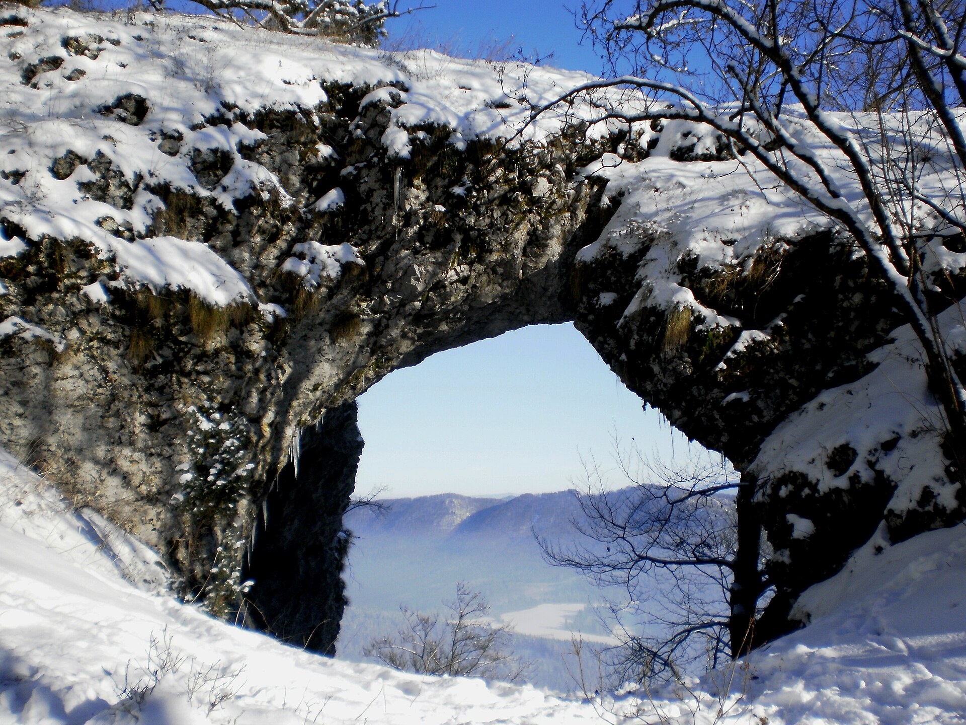
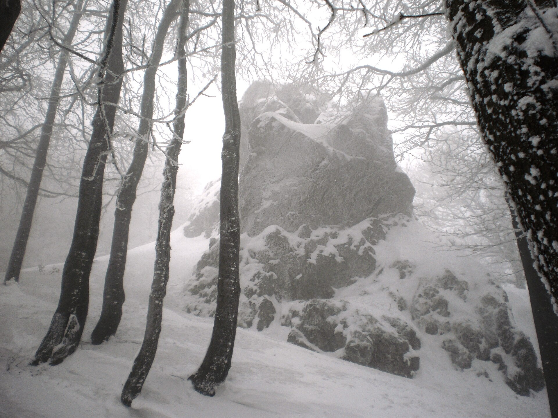
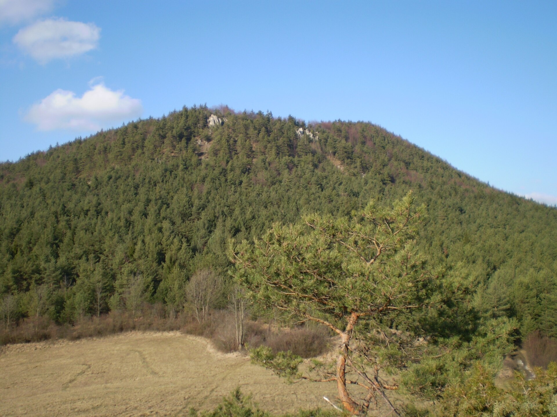
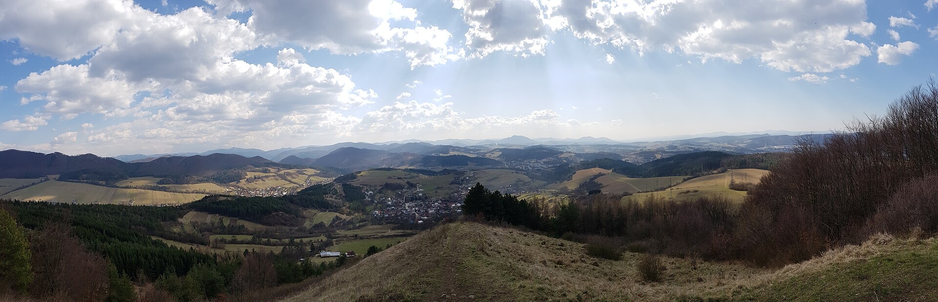
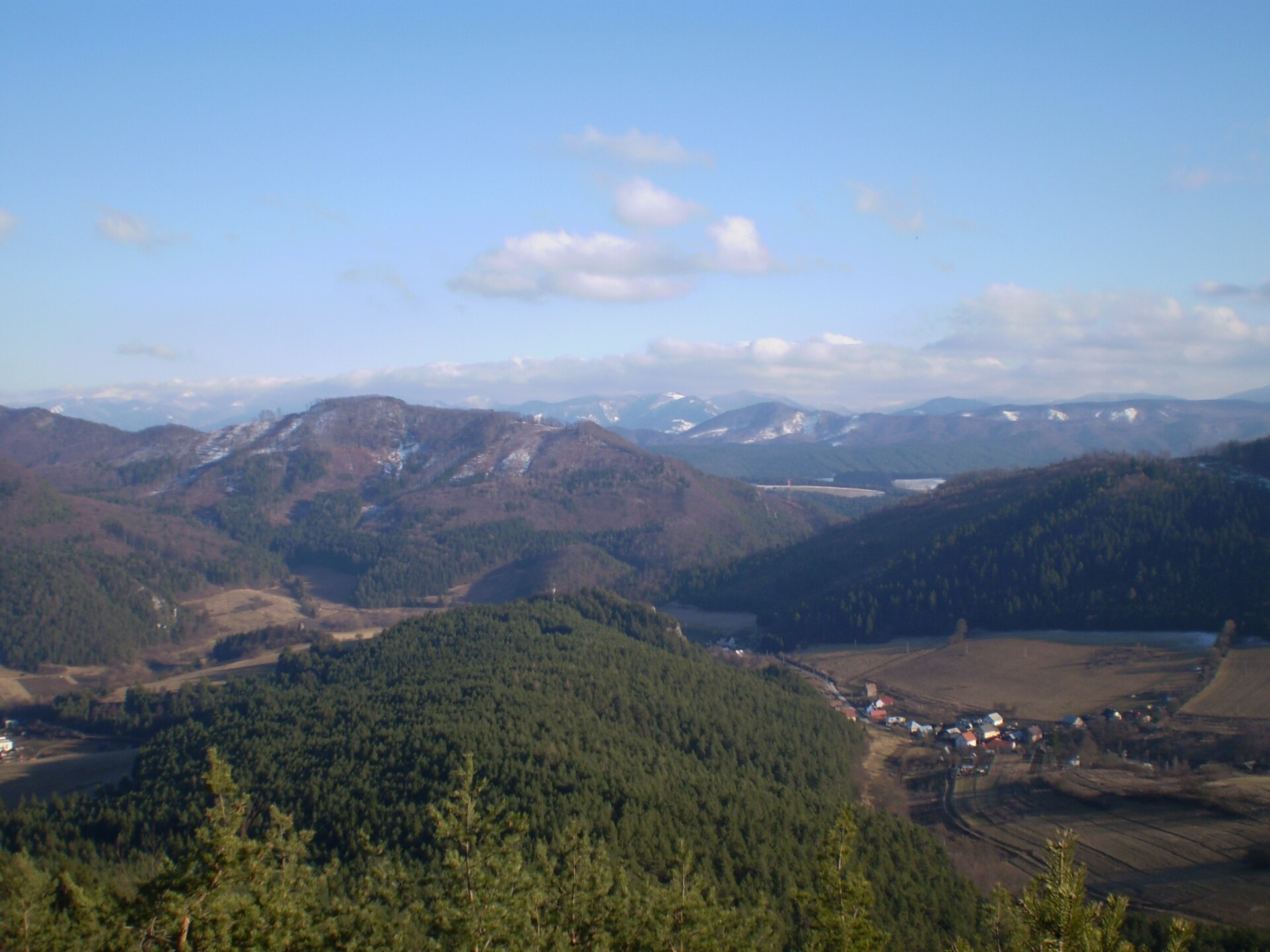
Photos: Michal Jakubský, CC BY 3.0 (Wikimedia Commons); Michal Jakubský, CC BY 3.0 (Wikimedia Commons); ono373, CC BY 3.0 (Wikimedia Commons); Jakub CA, CC BY-SA 4.0 (Wikimedia Commons); ono373, CC BY 3.0 (Wikimedia Commons); László Mednyánszky, Public domain (Wikimedia Commons)
Považská Bystrica is a town in northwestern Slovakia, serving as the administrative centre of the Považská Bystrica District in the Trenčín Region. It lies on the Váh river between the towns of Púchov and Bytča, at an elevation of 288 m above sea level. Surrounded by the Western Carpathians, specifically the Strážovské vrchy and Javorníky ranges, Považská Bystrica offers scenic landscapes and proximity to notable natural sites.
The first written mention of the town dates back to 1316. Its history is closely linked to the local castle, built in the 13th century. In 1918, the Roth ammunition factory was relocated here from Bratislava, sparking rapid industrial growth. During the second half of the 20th century, most of the old buildings were replaced by modern structures, giving the town a contemporary appearance.
Považská Bystrica is known for the ruins of Považský hrad castle, the Church of the Virgin Mary from the 15th century, and the Church of St. George (1791). The skyline is dominated by Veľký Manín peak, and the picturesque Manínska tiesňava canyon is nearby. The mineral water spa Nimnica is also close to the town. Považská Bystrica has a railway station and is a centre for local cheese and bryndza production at traditional shepherds' huts.
Visitors will find over 20 marked hiking trails in and around Považská Bystrica, including "Považská Bystrica – Malý Javorník", "Považské Podhradie – Púchov", "Púchov – Brezová", "Zliechov – Riedka", and "Ladce – Košecké Rovné". Those interested in local gastronomy can visit Salaš Orlové near Považská Bystrica for cheese, bryndza, and žinčica, or Salaš Pružina for 100% sheep bryndza. For wellness and relaxation, the mineral water spa Nimnica above the Nosice reservoir is a popular destination.
Getting there from Ukraine
From Uzhhorod to Žilina ≈330 km, ≈4 h 20 min without queues: Uzhhorod – Vyšné Nemecké → I/19 to Košice → D1 via Prešov, Poprad, Liptovský Mikuláš and Ružomberok (≈17 km on I/18 between D1 sections) → Žilina. To Terchová ≈314 km, ≈4 h 15 min: from the D1 onto I/70 and II/583. From Lviv through Poland: M-10 → Krakovets – Korczowa → A4 to Kraków → S7/DK7 to Chyżne – Trstená → R3, I/59 to Dolný Kubín → II/583 via Terchová to Žilina: to Terchová ≈493 km (≈6 h 30 min), to Žilina ≈518 km (≈7 h). Via the tolled A4 Kraków – Katowice, S1 and D3: ≈533 km, ≈6 h 35 min. The D1 requires an e-vignette (eznamka.sk).
Sources: Wikipedia, Wikidata, OpenStreetMap, Karpaty.rocks data. More on Wikipedia
Trails nearby
All trails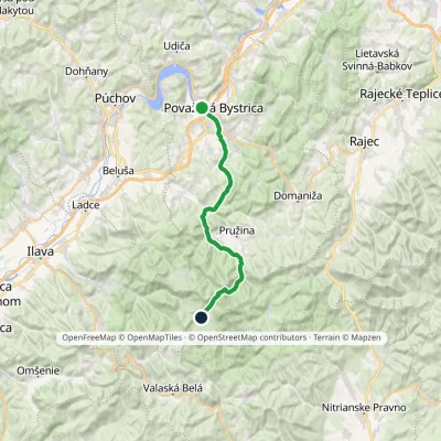 HardTwo-dayMarkedPovažská Bystrica ZliechovElevation profile283–902 m27 kmascent 866 m≈ 8.5 h walkingunder 1 km from the centre
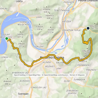 ModerateTwo-dayMarkedMilochov Manínska Gorge, CampElevation profile282–845 m18.2 kmascent 818 m≈ 6 h walkingunder 1 km from the centre
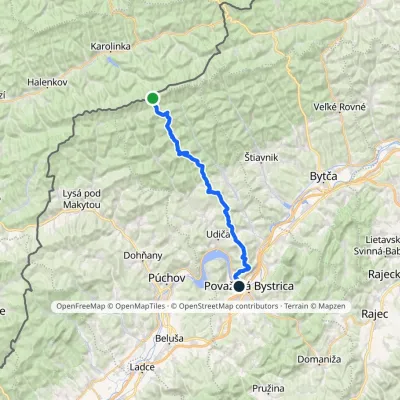 HardMulti-dayMarkedPovažská Bystrica Malý JavorníkElevation profile279–1 019 m31.7 kmascent 774 m≈ 9.5 h walkingunder 1 km from the centre
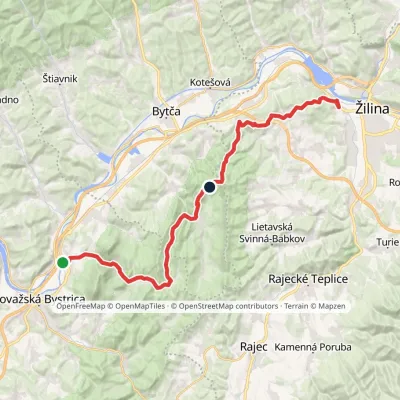 HardMulti-dayMarkedŽilina, Strážov Považská TepláElevation profile289–765 m31.7 kmascent 1 869 m≈ 11.5 h walking3.1 km from the centre
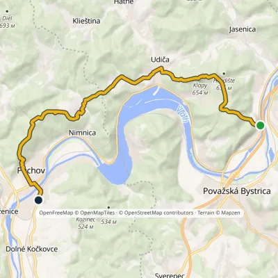 ModerateTwo-dayMarkedPovažské Podhradie PúchovElevation profile259–654 m18.9 kmascent 894 m≈ 6.5 h walking3.2 km from the centre
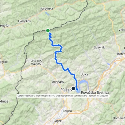 HardMulti-dayMarkedNosice Hotel PortášElevation profile260–927 m34.7 kmascent 1 017 m≈ 10.5 h walking5.6 km from the centre
Peaks nearby
All peaks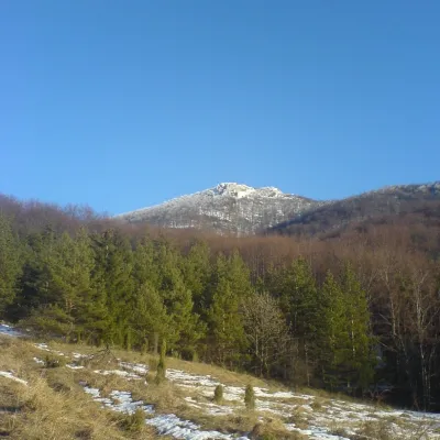 PeakStrážovZliechovaltitude 1 213 m18 km from the centreStrážov (Hungarian Sztrázsó) is the highest summit of the Strážov Mountains, 1213.3 m high (local signs often say 1215 m).
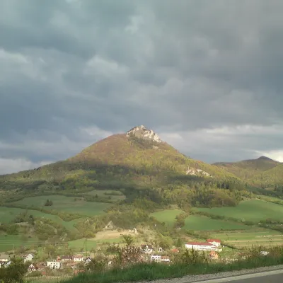 PeakVápečKošecké Podhradiealtitude 955 m22 km from the centreVápeč is a 955 m summit in the Strážov Mountains (Strážovské vrchy) in western Slovakia. It rises above the village of Horná Poruba, about 9 km south-east of Ilava,...
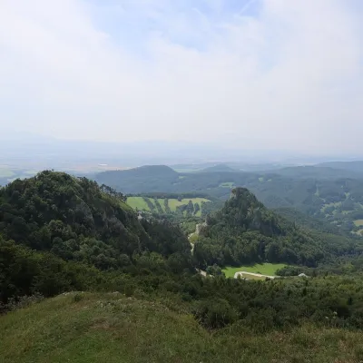 PeakChmeľováVršatské Podhradiealtitude 925 m22 km from the centreChmeľová is a 925 m summit, the second highest in the White Carpathians (Biele Karpaty) after Veľká Javorina (970 m).
What to visit
All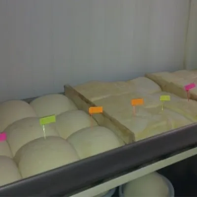 Cheese dairies & pasturesSalaš Orlové near Považská Bystrica: cheese, bryndza, žinčicaPovažská Bystrica2.5 km from the centreOrlové is a part of the town of Považská Bystrica on the left bank of the Váh, at the foot of hills that rise into the Strážov Hills.
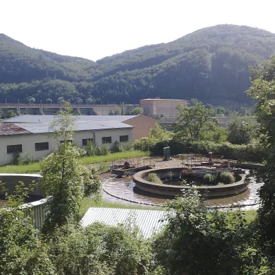 Water parks & thermal poolsNimnica: a mineral-water spa above the Nosice reservoirNimnica5.7 km from the centreNimnica is one of Slovakia's youngest spas, in the Váh valley between Púchov and Považská Bystrica. Its spa houses stand at about 300 m on a wooded spur of the...
 Cheese dairies & pasturesSalaš Pružina: 100% sheep’s bryndza in the Strážov HillsPružina11 km from the centrePružina is a village in a picturesque valley of the Strážov Hills (Strážovské vrchy) west of Považská Bystrica.
 Water parks & thermal poolsSpa Aphrodite thermal pools, Rajecké TepliceRajecké Teplice17 km from the centreHot mineral water rises here, and it feeds the Spa Aphrodite resort, whose thermal pools, saunas and Natural Spa zone are open not only to patients but to anyone with...
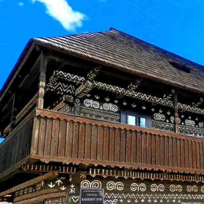 MuseumRaden's House in Čičmany — Museum of the Painted Log HousesČičmany18 km from the centreČičmany is a mountain village in a basin of the Strážov Hills, close to the source of the Rajčanka river, and the highest-lying village in Žilina District.
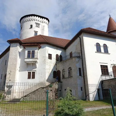 MuseumBudatín Castle — Považie Museum and Tinkers' ExhibitionŽilina25 km from the centreBudatín Castle (Budatínsky hrad, also Budatínsky zámok) stands in the Budatín district of Žilina, where the Kysuca flows into the Váh.
Craft nearby
All craft places
Spas and thermal pools nearby
Water parks & thermal poolsNimnica: a mineral-water spa above the Nosice reservoirNimnica5.7 km from the centreNimnica is one of Slovakia's youngest spas, in the Váh valley between Púchov and Považská Bystrica. Its spa houses stand at about 300 m on a wooded spur of the...Water parks & thermal poolsSpa Aphrodite thermal pools, Rajecké TepliceRajecké Teplice17 km from the centreHot mineral water rises here, and it feeds the Spa Aphrodite resort, whose thermal pools, saunas and Natural Spa zone are open not only to patients but to anyone with...Huts, shelters and springs nearby
Getting there from Ukraine
Border crossings
- Uzhhorod – Vyšné Nemecké — road, 24/7
- Malyi Bereznyi – Ubľa — road, 24/7 For cars and buses; pedestrians not confirmed by the Ukrainian border service, lorries up to 3.5 t.
- Mali Selmentsi – Veľké Slemence (pedestrian) — pedestrian, 09:00–21:00 Kyiv time Pedestrians and cyclists only; inconvenient for the Tatras without onward transport.
- Chop – Čierna nad Tisou (rail) — rail, 24/7
By car
From Uzhhorod to Žilina ≈330 km, ≈4 h 20 min without queues: Uzhhorod – Vyšné Nemecké → I/19 to Košice → D1 via Prešov, Poprad, Liptovský Mikuláš and Ružomberok (≈17 km on I/18 between D1 sections) → Žilina. To Terchová ≈314 km, ≈4 h 15 min: from the D1 onto I/70 and II/583. From Lviv through Poland: M-10 → Krakovets – Korczowa → A4 to Kraków → S7/DK7 to Chyżne – Trstená → R3, I/59 to Dolný Kubín → II/583 via Terchová to Žilina: to Terchová ≈493 km (≈6 h 30 min), to Žilina ≈518 km (≈7 h). Via the tolled A4 Kraków – Katowice, S1 and D3: ≈533 km, ≈6 h 35 min. The D1 requires an e-vignette (eznamka.sk).
Checked 23.10.2026; border crossing hours and timetables change — check before you travel.
