Chmeľová
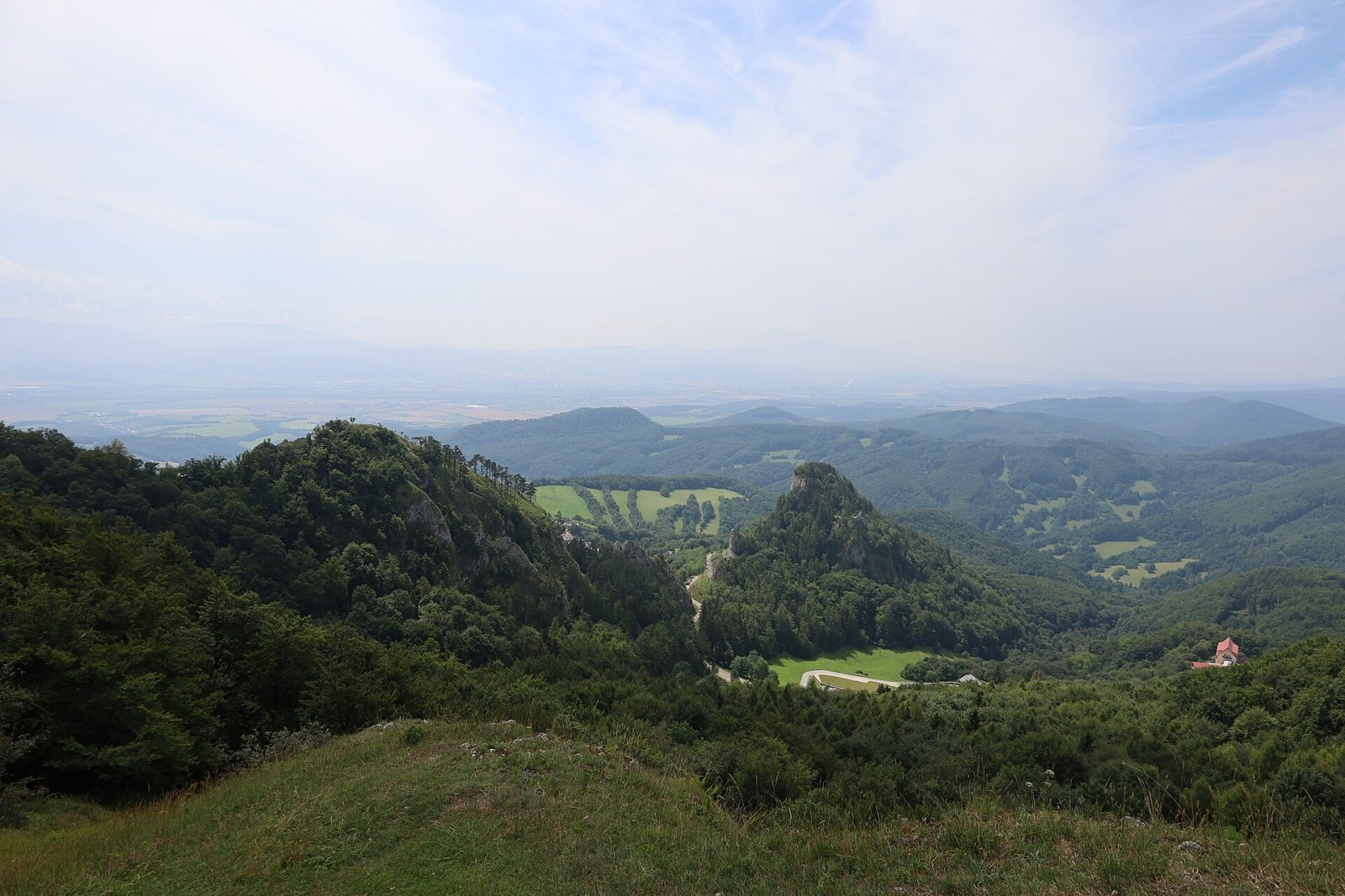
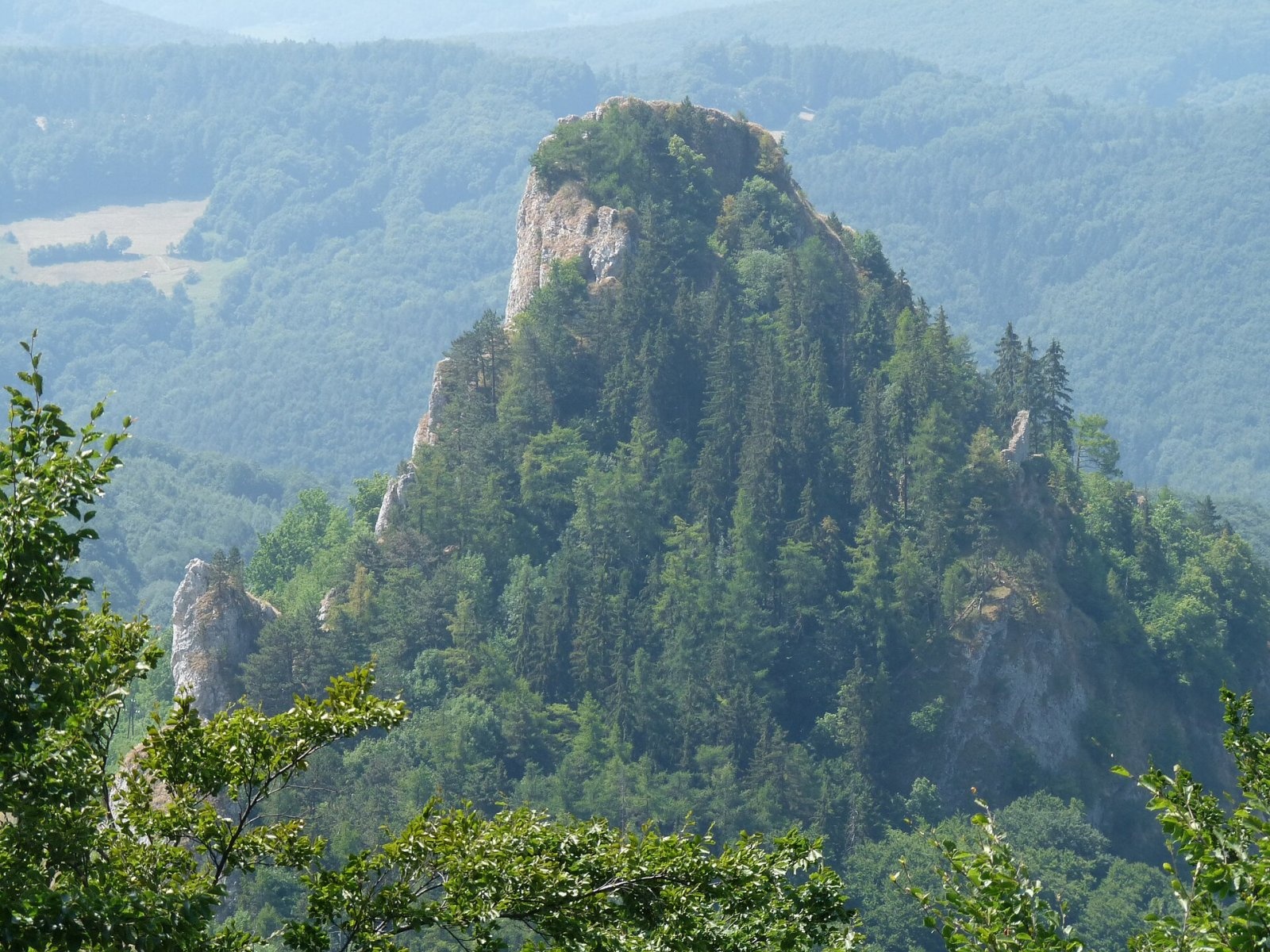
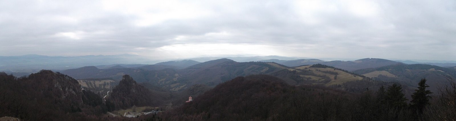
Chmeľová is a 925 m summit, the second highest in the White Carpathians (Biele Karpaty) after Veľká Javorina (970 m). It rises above the village of Vršatské Podhradie, about 12 km north of the town of Dubnica nad Váhom, in the northern part of the range – the Vršatské bradlá (Vysoké Vršatce) section. The hill lies in the Trenčín Region, Ilava District, in the cadastres of Vršatské Podhradie and Červený Kameň. The nearest villages are Vršatské Podhradie (about 1 km) and Červený Kameň (2.5 km), a little further Krivoklát and Mikušovce. The summit's prominence is about 395 m, making Chmeľová a landmark of the wide surroundings.
The mountain belongs to a distinctive rock massif of the Pieniny Klippen Belt, where limestone blocks ("bradlá") jut out above soft flysch slopes. To the east a saddle separates it from the limestone massif of Javorník (898 m), to the north is Zvonová hora (722 m), to the west Biely vrch (819 m), and to the south the Vršatec castle cliff with the ruins of Vršatec Castle.
How to get there / routes
- Yellow trail via the Chmeľová junction: from the south from the Vršatec junction near Vršatské Podhradie (from the car park by the chalet) or from the north-east from Červený Kameň; the last section to the viewpoint follows a short yellow spur.
- Blue trail – from Červený Kameň via Vršatské Podhradie; at the Brezová, kaplnka junction it links to the main ridge trail of the White Carpathians.
A walk to Chmeľová is easy to combine with a visit to the ruins of Vršatec Castle, which stand right below the hill.
What you can see from the top
Chmeľová is mostly forested, but small open spots near the top give wide views. Closest, right below, is the Vršatec castle cliff with the ruins, the neighbouring peaks of the White Carpathians and the Váh valley. In good visibility you can see the landmarks of the Považský Inovec, Vtáčnik, the Strážov Mountains and the Javorníky; the Moravian-Silesian Beskids, the Lesser Fatra and Tribeč often appear on the horizon, and rarely even the Hrubý Jeseník in the Czech Republic.
Nature and history
Rock and forest communities of both warmth-loving and mountain plants and animals have survived on the Chmeľová massif. The hill stands next to the Vršatské bradlá nature reserve, declared in 1970 to protect the impressive limestone massif of the White Carpathian Klippen Belt; the whole area lies in the White Carpathians Protected Landscape Area (CHKO Biele Karpaty) and the Natura 2000 site "Vršatské bradlá". Chmeľová belongs to the Váh basin: the western and northern parts of the massif drain via tributaries of the Tovarský potok to the Lednica, the south-western part via the Krivoklátsky potok.
Safety, season and rules
Near the rocks and viewpoints stay on marked paths and away from the cliffs. In the nature reserve leaving the trails, picking plants and lighting fires are forbidden. In winter the paths can be icy. In Slovakia the Mountain Rescue Service (HZS) operates: 18 300 (+421 18 300); the general emergency number is 112.
Interesting facts
- Chmeľová is the second-highest peak of the White Carpathians, lower only than Veľká Javorina.
- On rare clear days the Czech Hrubý Jeseník is visible from the top.
- The ruins of Vršatec Castle stand on a limestone cliff below the hill.
Photos: Zuzana Stozicka, CC BY-SA 4.0; Pistal, CC BY-SA 4.0; Peter Mikšík, CC BY-SA 4.0 — Wikimedia Commons.
Getting there from Ukraine
Border crossings
- Uzhhorod – Vyšné Nemecké — road, 24/7
- Malyi Bereznyi – Ubľa — road, 24/7 For cars and buses; pedestrians not confirmed by the Ukrainian border service, lorries up to 3.5 t.
- Mali Selmentsi – Veľké Slemence (pedestrian) — pedestrian, 09:00–21:00 Kyiv time Pedestrians and cyclists only; inconvenient for the Tatras without onward transport.
- Chop – Čierna nad Tisou (rail) — rail, 24/7
By car
From Uzhhorod to Žilina ≈330 km, ≈4 h 20 min without queues: Uzhhorod – Vyšné Nemecké → I/19 to Košice → D1 via Prešov, Poprad, Liptovský Mikuláš and Ružomberok (≈17 km on I/18 between D1 sections) → Žilina. To Terchová ≈314 km, ≈4 h 15 min: from the D1 onto I/70 and II/583. From Lviv through Poland: M-10 → Krakovets – Korczowa → A4 to Kraków → S7/DK7 to Chyżne – Trstená → R3, I/59 to Dolný Kubín → II/583 via Terchová to Žilina: to Terchová ≈493 km (≈6 h 30 min), to Žilina ≈518 km (≈7 h). Via the tolled A4 Kraków – Katowice, S1 and D3: ≈533 km, ≈6 h 35 min. The D1 requires an e-vignette (eznamka.sk).
Checked 23.10.2026; border crossing hours and timetables change — check before you travel.
Location on the map
Water and shelter nearby
- Spring below Chmeľová (south slope), 743 m510 m · Not verified · 743 m
- Spring below Javorník (north slope)650 m · Not verified · 696 m
- Spring below Chmeľová (south-west slope)790 m · Not verified · 747 m
- Spring below Javorník (south-east slope)810 m · Not verified · 633 m
- Spring below Chmeľová (south slope), 667 m870 m · Not verified · 667 m
- Spring below Chotuč (north-west slope)1.2 km · Not verified · 589 m
- Hut below Chotuč1.4 km · Not verified · 544 m
- Spring below Biely vrch (north-west slope)1.8 km · Not verified · 687 m
- Spring below Chotuč (south slope)1.8 km · Not verified · 570 m
- Spring below Biely vrch (west slope)2.3 km · Not verified · 675 m
- Červenica Spring2.4 km · Not verified · 492 m
- Well below Závlačná2.7 km · Not verified · 358 m
- Spring below Okršlisko2.9 km · Not verified · 748 m
- Spring below Veľké Hradište2.9 km · Not verified · 453 m
Comments
Trails nearby
All trails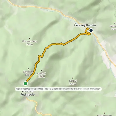 EasyOne-dayMarkedVršatec Červený KameňElevation profile358–831 m4 kmascent 104 m≈ 1 h walkingunder 1 km from Chmeľová
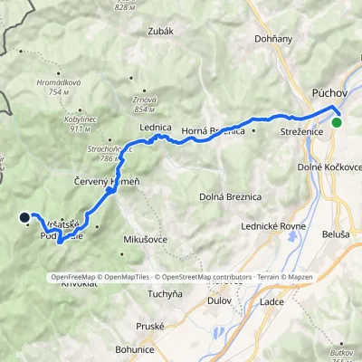 HardTwo-dayMarkedPúchov BrezováElevation profile259–750 m21.7 kmascent 1 054 m≈ 7.5 h walkingunder 1 km from Chmeľová
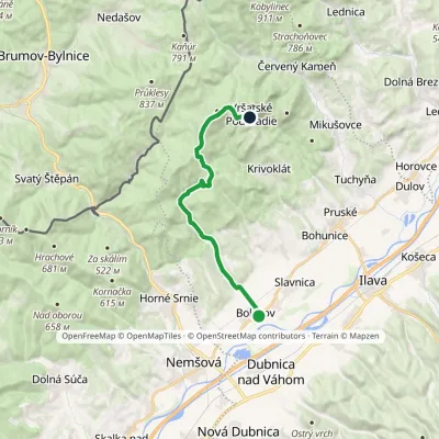 ModerateOne-dayMarkedBolešov Chata VršatecElevation profile232–785 m15.2 kmascent 577 m≈ 5 h walkingunder 1 km from Chmeľová
Nearby attractions
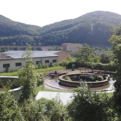 Water parks & thermal poolsNimnica: a mineral-water spa above the Nosice reservoirNimnica17 km from ChmeľováNimnica is one of Slovakia's youngest spas, in the Váh valley between Púchov and Považská Bystrica. Its spa houses stand at about 300 m on a wooded spur of the...
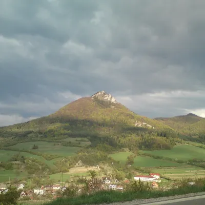 PeakVápečKošecké Podhradiealtitude 955 m20 km from ChmeľováVápeč is a 955 m summit in the Strážov Mountains (Strážovské vrchy) in western Slovakia. It rises above the village of Horná Poruba, about 9 km south-east of Ilava,...
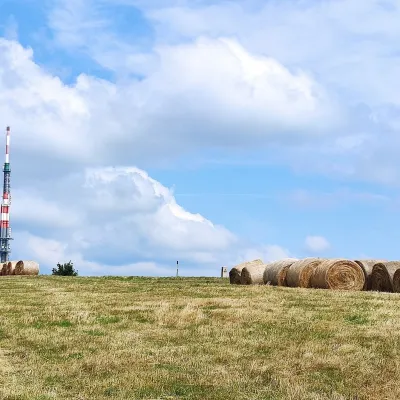 Mountain meadowThe meadows of Veľká Javorina, the highest peak of the White CarpathiansLubinaaltitude 970 m42 km from ChmeľováVeľká Javorina (Czech Velká Javořina, 969.8 m) is the highest mountain of the White Carpathians (Biele Karpaty) on the Slovak–Czech border, about 8 km north of the...
Craft nearby
All craft places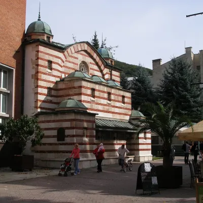 Water parks & thermal poolsTrenčianske Teplice: the Hammam and sulphur thermal bathsTrenčianske Teplice18 km from ChmeľováTrenčianske Teplice is one of Slovakia's oldest spas, squeezed into a narrow wooded valley of the Strážov Mountains not far from Trenčín.
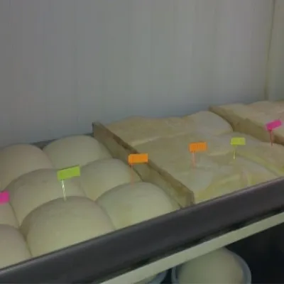 Cheese dairies & pasturesSalaš Orlové near Považská Bystrica: cheese, bryndza, žinčicaPovažská Bystrica21 km from ChmeľováOrlové is a part of the town of Považská Bystrica on the left bank of the Váh, at the foot of hills that rise into the Strážov Hills.
 Cheese dairies & pasturesSalaš Pružina: 100% sheep’s bryndza in the Strážov HillsPružina24 km from ChmeľováPružina is a village in a picturesque valley of the Strážov Hills (Strážovské vrchy) west of Považská Bystrica.
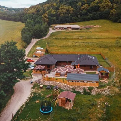 Cheese dairies & pasturesSalaš Beckov: 100% sheep’s cheese and bryndza dumplingsBeckov39 km from ChmeľováA sheep salaš beside one of the Váh valley’s finest castles Beckov is a village in the Váh valley between Nové Mesto nad Váhom and Trenčín, overlooked by the ruins of...
 Water parks & thermal poolsSpa Aphrodite thermal pools, Rajecké TepliceRajecké Teplice39 km from ChmeľováHot mineral water rises here, and it feeds the Spa Aphrodite resort, whose thermal pools, saunas and Natural Spa zone are open not only to patients but to anyone with...
 Cheese dairies & pasturesFarma Brezany near Žilina: hand-stretched cheese and a distilleryBrezany40 km from ChmeľováBrezany is a village a few kilometres south of Žilina, on the edge of the Žilina basin and the foothills leading towards the Rajec valley and the Strážov Hills.
