Vápeč
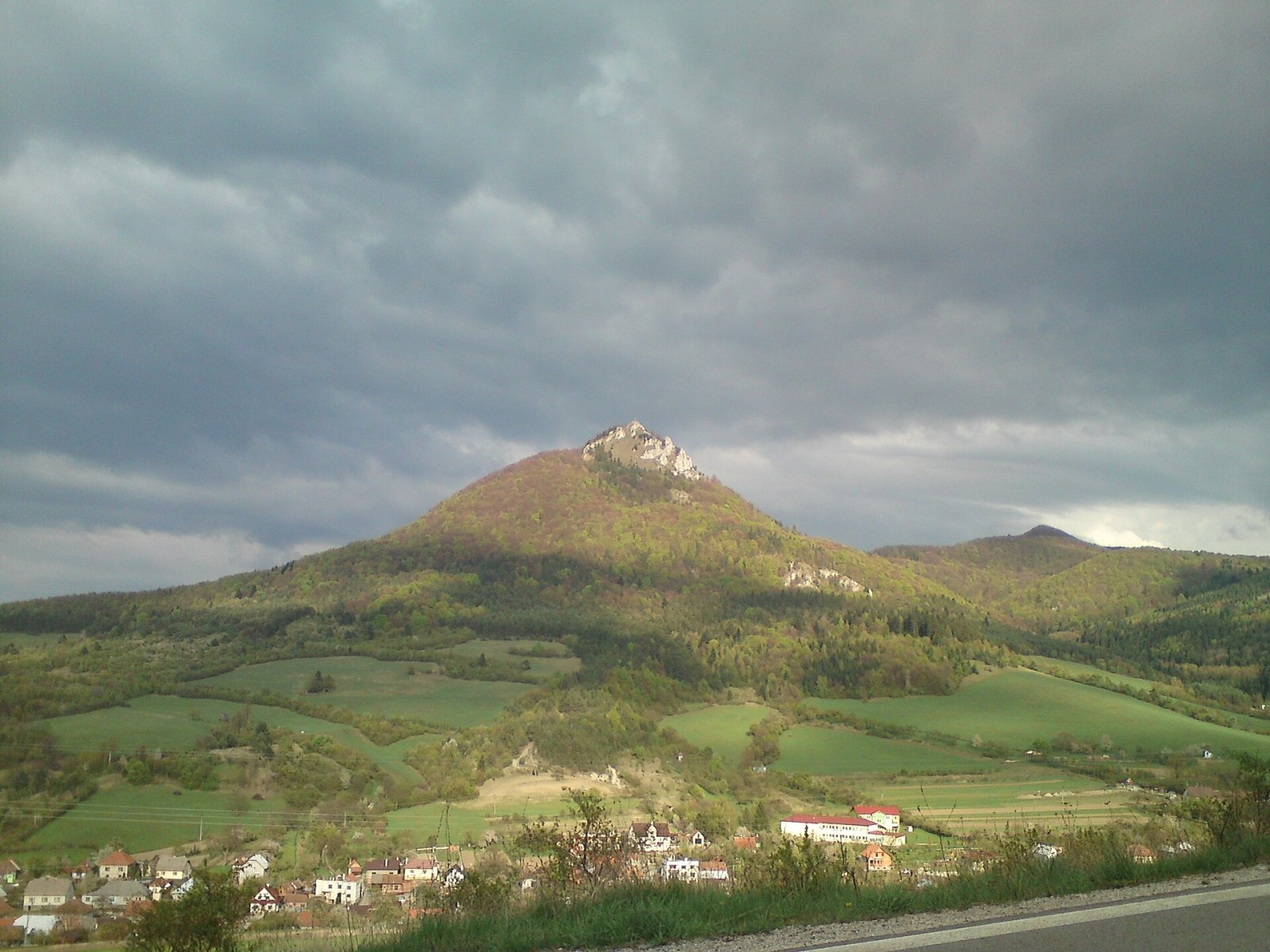
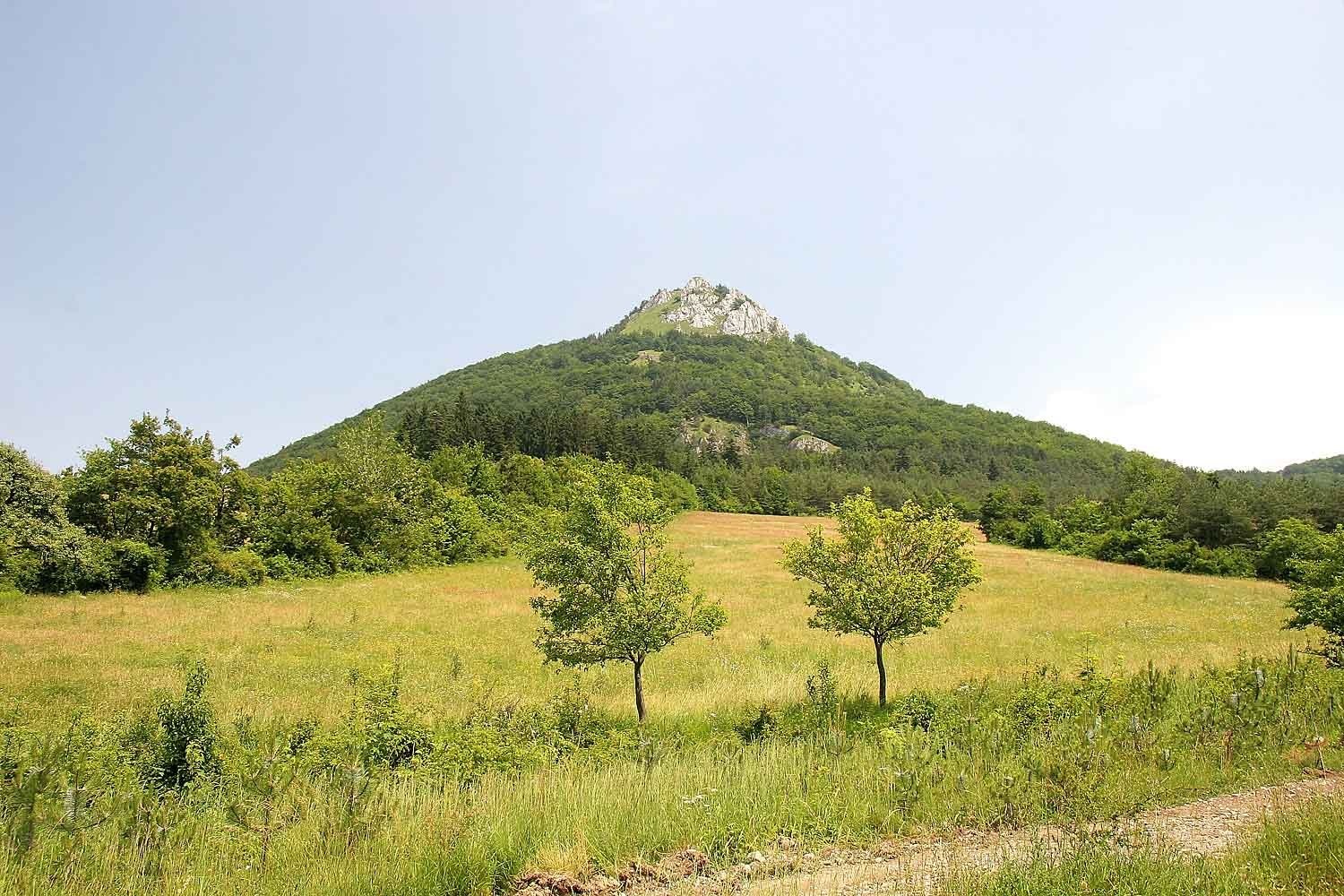
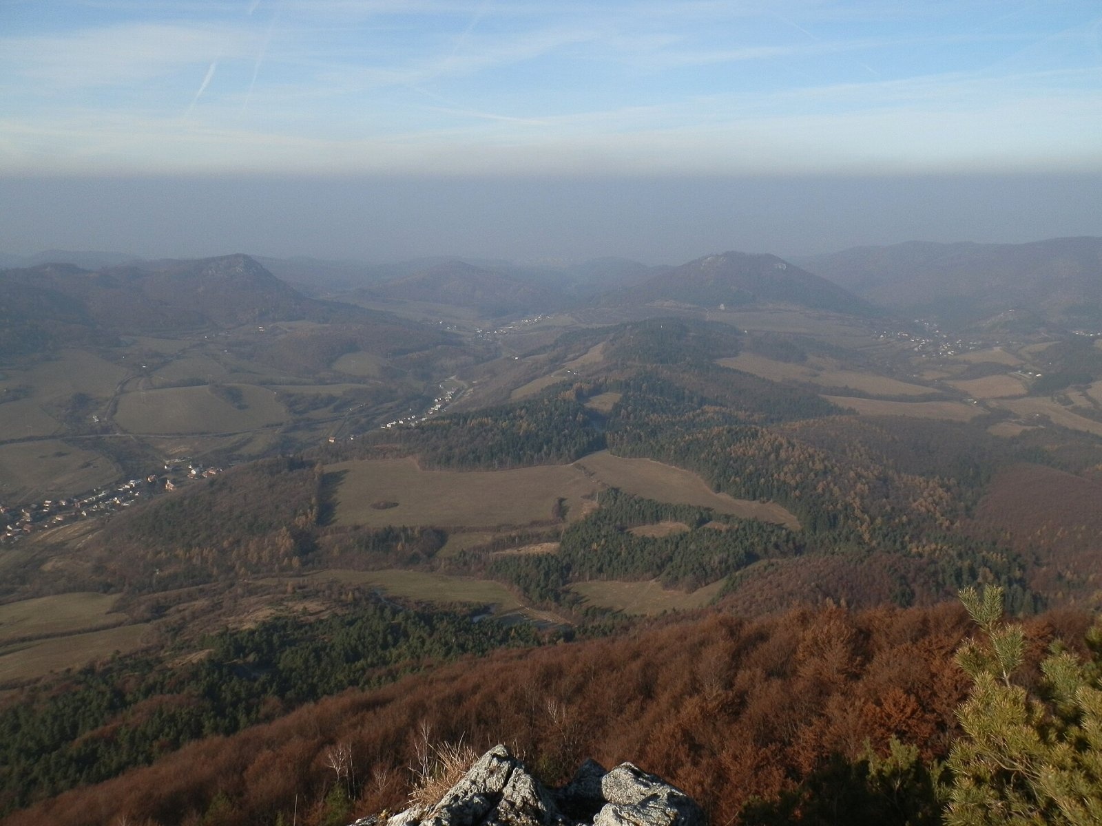
Vápeč is a 955 m summit in the Strážov Mountains (Strážovské vrchy) in western Slovakia. It rises above the village of Horná Poruba, about 9 km south-east of Ilava, and its sharp, unmistakable silhouette dominates the Poruba furrow. Vápeč lies in the central part of the range, in the Zliechov Highlands, on the western edge of the mighty Suchá hora massif. It belongs to the Ilava District of the Trenčín Region and extends into the cadastres of Horná Poruba and Košecké Podhradie (the hamlet of Kopec).
A saddle links Vápeč with the neighbouring Suchá hora (986 m) to the south-east. To the south lies Homôľka (907 m), to the west Hoľazne (901 m), to the north Mačičie (758 m) and to the east Čierny vrch (855 m) and Hrubá Zliezajňa (946 m). The Podhradský and Porubský streams drain the slopes to the Váh. The nearest settlements are Horná Poruba at the western foot (about 1.6 km) and Kopec to the north-east; Dolná Poruba lies to the south-west.
How to get there / routes
- Red trail – the SNP Heroes' Trail (Cesta hrdinov SNP, also the European long-distance path E8): it passes through the Palúch saddle below the summit – from the west from Omšenská Baba via Horná Poruba, from the east from Zliechov. From Kopec it is about 3 km and an hour and a half.
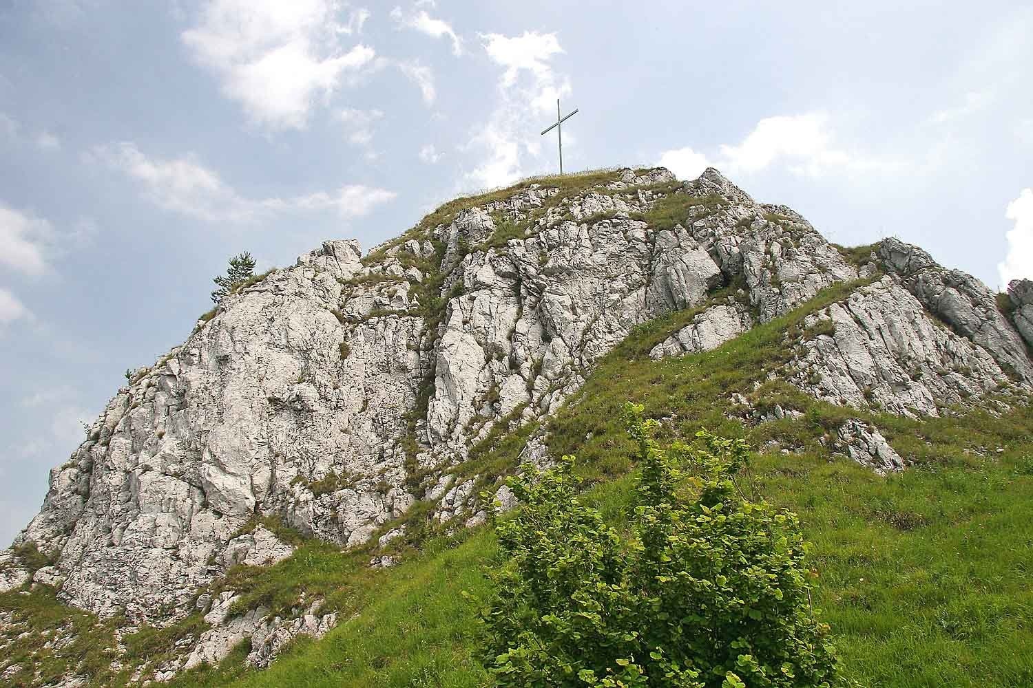
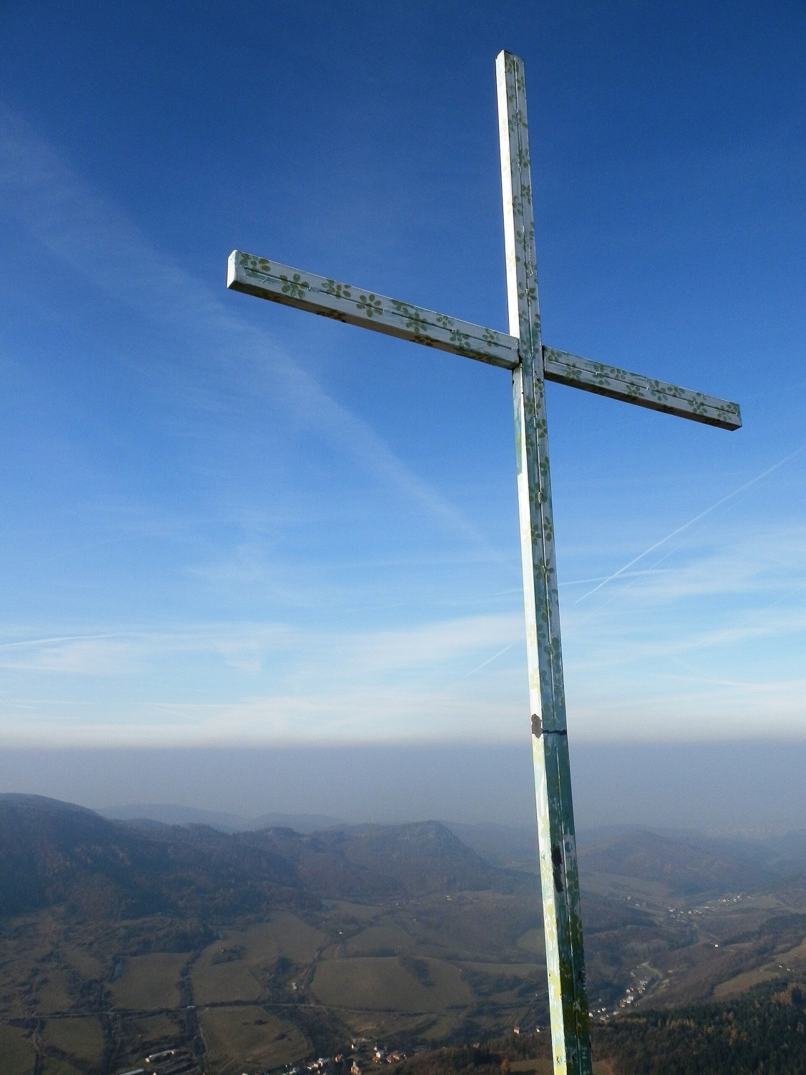
- A short spur marked with a red triangle leads from the main trail to the summit cross.
- Local trails (including a blue one) come from Ilava, from Prejta via Horná Poruba and from the saddle below Homôľka.
What you can see from the top
The summit area has only patchy forest and much of it is bare rock, so the view is excellent. The surrounding peaks of the Strážov Mountains are well seen, and in clear weather you can see the Považský Inovec, the White Carpathians, the Javorníky, the Súľov Mountains, part of the Lesser and Greater Fatra, Vtáčnik, the Pohronský Inovec and the Tribeč.
Nature and history
The summit and its immediate surroundings form a national nature reserve of the same name, declared in 1993 over 75.38 ha. Geologically, Vápeč is a morphologically prominent remnant of the Hronic nappe: the slopes are built mainly of Upper Triassic ("main") dolomites, while the summit itself is Wetterstein limestone. It is a limestone-and-dolomite rocky landmark with a very varied flora and fauna, from warmth-loving to montane species. Limestone beech forests prevail, with fewer herb-rich beech woods; on the slopes below the summit there are grassland communities dominated by warmth-loving plants, while montane species keep to cooler spots.
Safety, season and rules
The last stretch to the summit is stony and the rocks around the cross drop steeply – keep to the path and take care in wet or icy weather. The summit lies in a nature reserve, so stay on marked trails and do not pick plants. Slovak Mountain Rescue Service (HZS): 18 300 (+421 18 300); general emergency number 112.
Interesting facts
- Signposts and older photos give the height as 956 m; the refined value is 955.5 m.
- Vápeč is clearly visible even from Ilava Castle in the Váh valley.
Photos: Pe3kZA, CC BY-SA 3.0; User:Prazak, CC BY-SA 3.0; Prazak, CC BY-SA 3.0; Michal Jakubský, CC BY 3.0; Michal Jakubský, CC BY 3.0 — Wikimedia Commons.
Getting there from Ukraine
Border crossings
- Uzhhorod – Vyšné Nemecké — road, 24/7
- Malyi Bereznyi – Ubľa — road, 24/7 For cars and buses; pedestrians not confirmed by the Ukrainian border service, lorries up to 3.5 t.
- Mali Selmentsi – Veľké Slemence (pedestrian) — pedestrian, 09:00–21:00 Kyiv time Pedestrians and cyclists only; inconvenient for the Tatras without onward transport.
- Chop – Čierna nad Tisou (rail) — rail, 24/7
By car
From Uzhhorod to Žilina ≈330 km, ≈4 h 20 min without queues: Uzhhorod – Vyšné Nemecké → I/19 to Košice → D1 via Prešov, Poprad, Liptovský Mikuláš and Ružomberok (≈17 km on I/18 between D1 sections) → Žilina. To Terchová ≈314 km, ≈4 h 15 min: from the D1 onto I/70 and II/583. From Lviv through Poland: M-10 → Krakovets – Korczowa → A4 to Kraków → S7/DK7 to Chyżne – Trstená → R3, I/59 to Dolný Kubín → II/583 via Terchová to Žilina: to Terchová ≈493 km (≈6 h 30 min), to Žilina ≈518 km (≈7 h). Via the tolled A4 Kraków – Katowice, S1 and D3: ≈533 km, ≈6 h 35 min. The D1 requires an e-vignette (eznamka.sk).
Checked 23.10.2026; border crossing hours and timetables change — check before you travel.
Location on the map
Water and shelter nearby
- Spring below Vápeč (west slope)210 m · Not verified · 798 m
- Spring below Vápeč (north-west slope), 664 m460 m · Not verified · 664 m
- Spring below Vápeč (north-west slope), 618 m580 m · Not verified · 618 m
- Spring below Vápeč (south slope)610 m · Not verified · 627 m
- Spring below Vápeč (south-west slope), 601 m610 m · Not verified · 601 m
- Spring below Vápeč (south-west slope), 531 m950 m · Not verified · 531 m
- Spring below Vápeč (south-west slope), 489 m1.1 km · Not verified · 489 m
- Spring below Jedľovina (east slope)1.6 km · Not verified · 446 m
- Spring below Suchá hora (west slope)1.9 km · Not verified · 695 m
- Spring below Homôľka (north slope)2.2 km · Not verified · 824 m
Comments
Trails nearby
All trails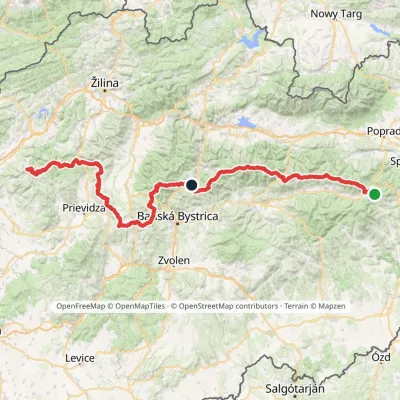 HardMulti-dayMarkedHorná Poruba, U Brdárov Pred ČuntavouElevation profile309–2 004 m241.6 kmascent 15 694 munder 1 km from Vápeč
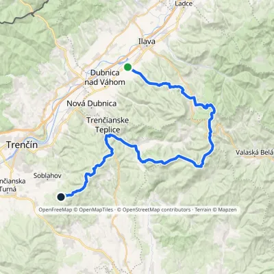 HardMulti-dayMarkedPrejta Hut under Ostrý vrchElevation profile247–955 m47.9 kmascent 2 010 munder 1 km from Vápeč
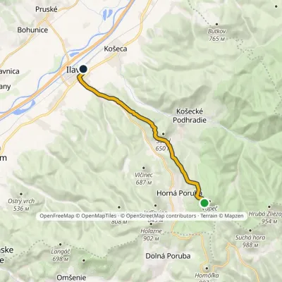 EasyOne-dayMarkedIlava Nad Hornou PorubouElevation profile240–768 m11 kmascent 94 m≈ 3 h walkingunder 1 km from Vápeč
Nearby attractions
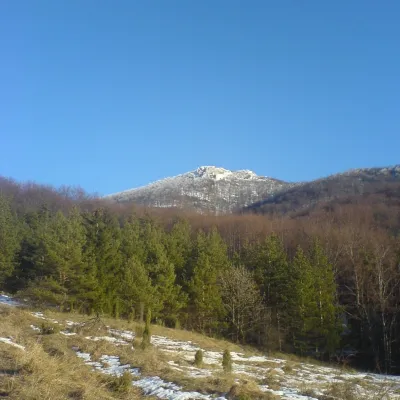 PeakStrážovZliechovaltitude 1 213 m10 km from VápečStrážov (Hungarian Sztrázsó) is the highest summit of the Strážov Mountains, 1213.3 m high (local signs often say 1215 m).
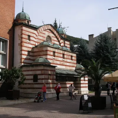 Water parks & thermal poolsTrenčianske Teplice: the Hammam and sulphur thermal bathsTrenčianske Teplice12 km from VápečTrenčianske Teplice is one of Slovakia's oldest spas, squeezed into a narrow wooded valley of the Strážov Mountains not far from Trenčín.
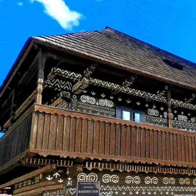 MuseumRaden's House in Čičmany — Museum of the Painted Log HousesČičmany14 km from VápečČičmany is a mountain village in a basin of the Strážov Hills, close to the source of the Rajčanka river, and the highest-lying village in Žilina District.
Craft nearby
All craft places Cheese dairies & pasturesSalaš Pružina: 100% sheep’s bryndza in the Strážov HillsPružina14 km from VápečPružina is a village in a picturesque valley of the Strážov Hills (Strážovské vrchy) west of Považská Bystrica.
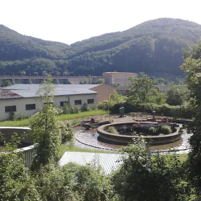 Water parks & thermal poolsNimnica: a mineral-water spa above the Nosice reservoirNimnica21 km from VápečNimnica is one of Slovakia's youngest spas, in the Váh valley between Púchov and Považská Bystrica. Its spa houses stand at about 300 m on a wooded spur of the...
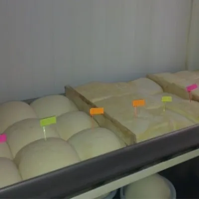 Cheese dairies & pasturesSalaš Orlové near Považská Bystrica: cheese, bryndza, žinčicaPovažská Bystrica23 km from VápečOrlové is a part of the town of Považská Bystrica on the left bank of the Váh, at the foot of hills that rise into the Strážov Hills.
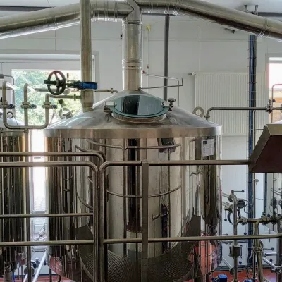 Craft beer & breweriesGalgenberg brewery in Nitrianske Pravno: tour and beer from the tankNitrianske Pravno24 km from VápečNitrianske Pravno is a large village at the northern end of the Upper Nitra basin, 12 km from Prievidza, where the river Nitra leaves the Malá Magura and Žiar hills.
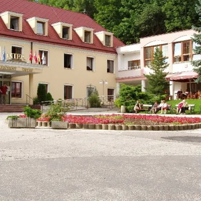 Water parks & thermal poolsBojnice Spa: thermal springs, pools and treatmentsBojnice26 km from VápečBojnice Spa (Kúpele Bojnice) lies on the edge of the town of Bojnice, about 3 km from Prievidza, in the Upper Nitra basin – at the eastern foot of the Malá Magura...
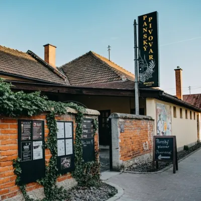 Craft beer & breweriesPanský pivovar Bojnice: unfiltered craft beer below the castleBojnice26 km from VápečBojnice is a spa town in the upper Nitra valley at the foot of the Strážov Hills, famous for the fairy-tale castle of the Pálffy family.
