Strážov
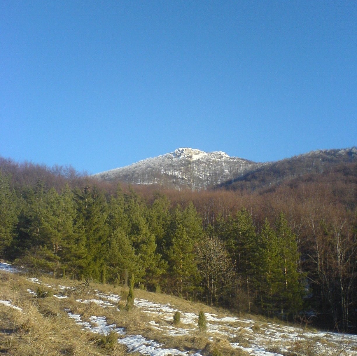
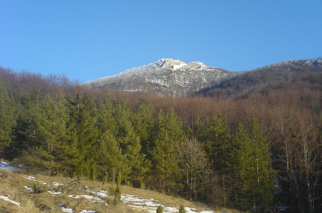
Strážov (Hungarian Sztrázsó) is the highest summit of the Strážov Mountains, 1213.3 m high (local signs often say 1215 m). The mountain stands about 15 km east of Ilava, in the central part of the range, in the Zliechov Highlands geomorphological subunit. The summit lies on the border of the Žilina and Trenčín Regions, between Žilina and Ilava Districts, and extends onto the land of the villages of Čičmany and Zliechov; the northern part of the massif belongs to the municipality of Pružina in Považská Bystrica District. Strážov dominates the village of Zliechov from the east, while Čičmany lies to the west. The road between these villages runs along the southern slopes of the massif.
The summit stands on the strongly winding main ridge of the Strážov Mountains, on the watershed between the Váh and the Nitra. A ridge with Čierny vrch (1068 m) runs to the north-east, and Sokolie (1032 m) lies to the north. The western part of the massif drains via tributaries of the Podhradský stream flowing to the Váh; the eastern slopes at Zákľuka are the source area of the Rajčanka; the northern part drains via the Strážovský stream, a tributary of the Pružinka, and from the southern foot water flows via the Jasenina stream to the Nitra.
How to get there / routes
- Red trail – the Heroes of the SNP trail from Čičmany or Zliechov.
- Green trail from the village of Briestenné.
- Marked trail from Pružina – the route of the traditional annual ascent of Strážov.
All these trails meet at the Lúka pod Strážovom meadow (1130 m), from where a separate marked path leads to the summit in less than 15 minutes. Sources give no other official walking times. There are several springs near the summit, but some of them dry up, so carry water.
What you can see from the summit
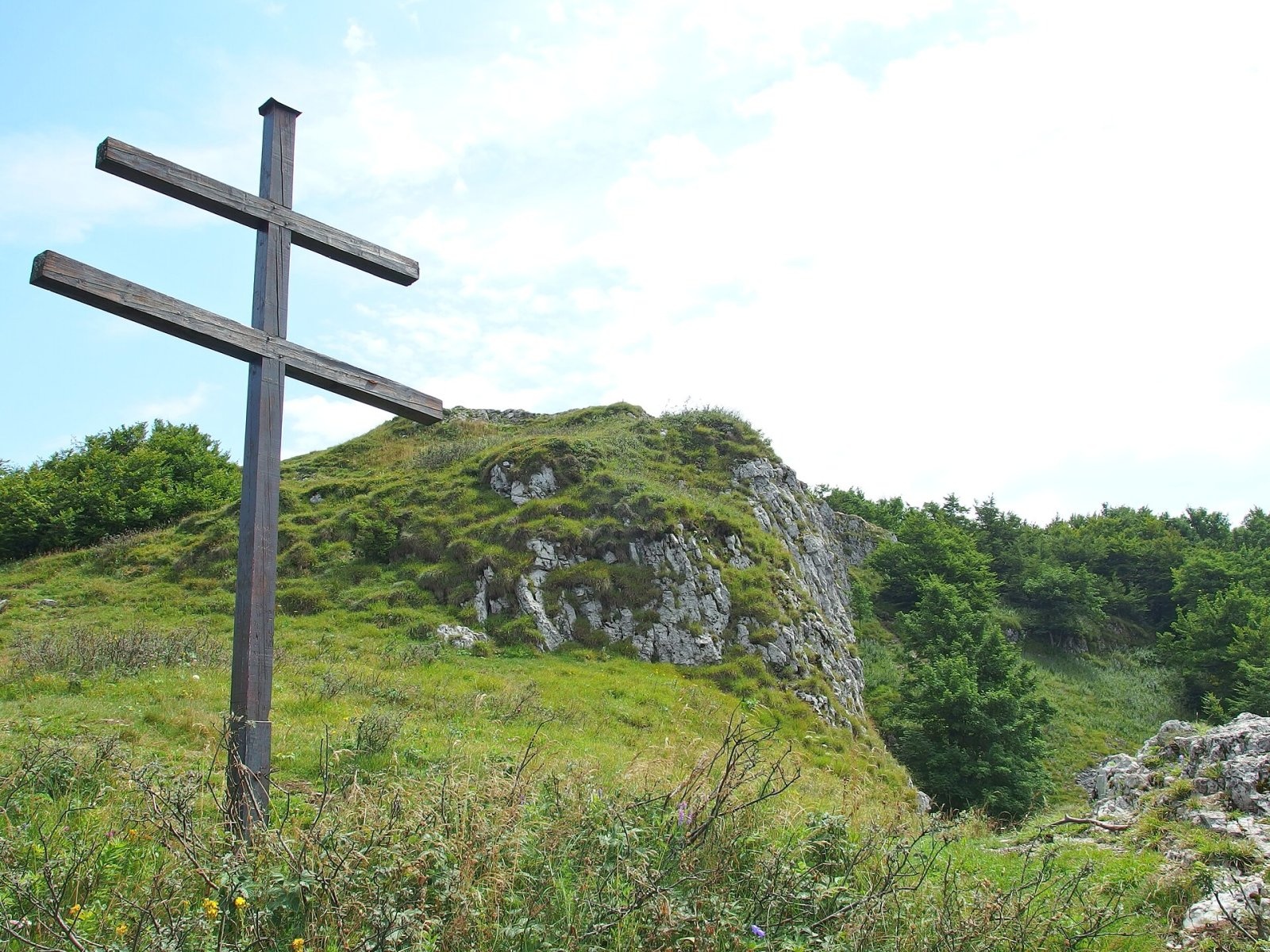
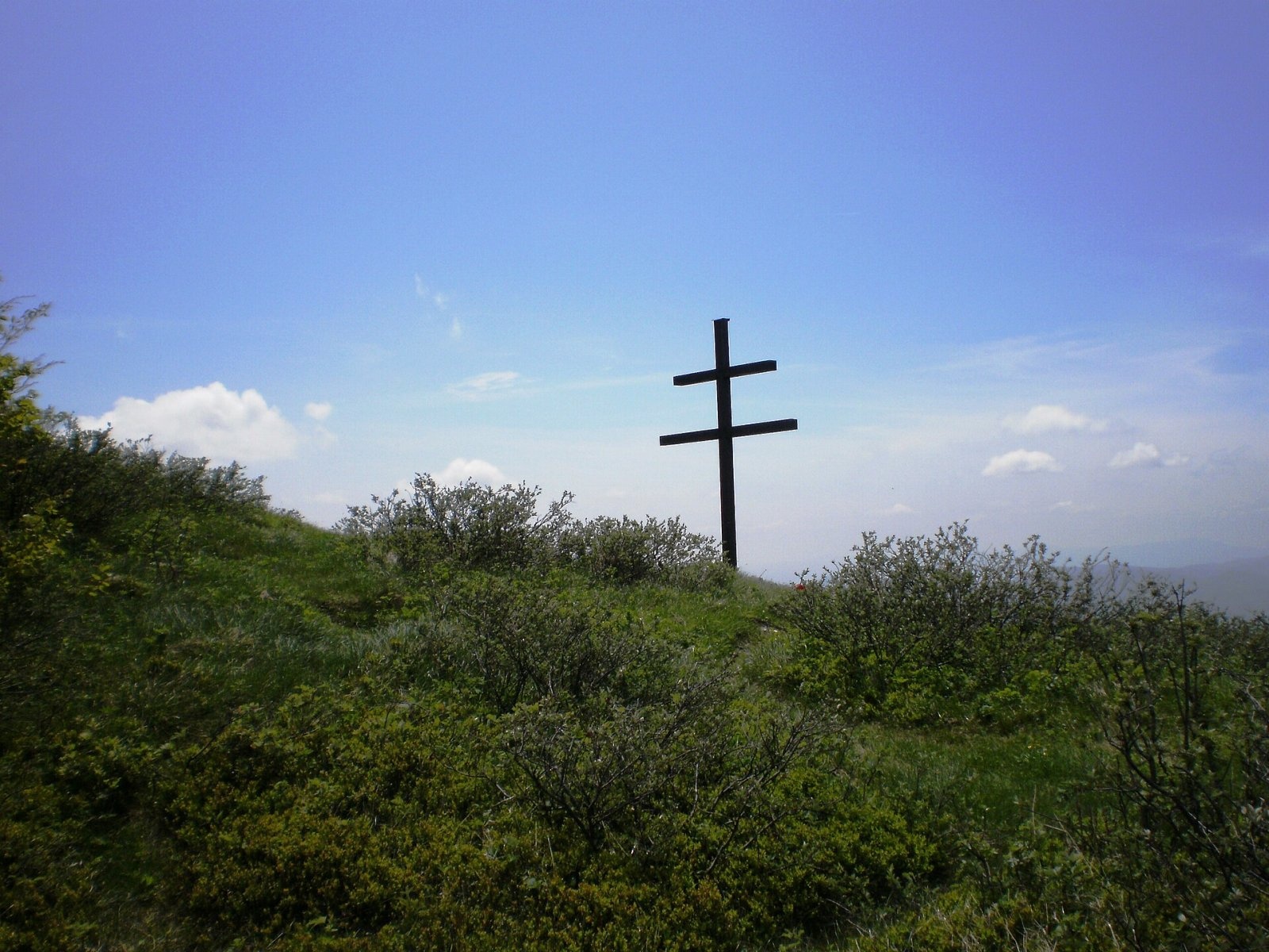
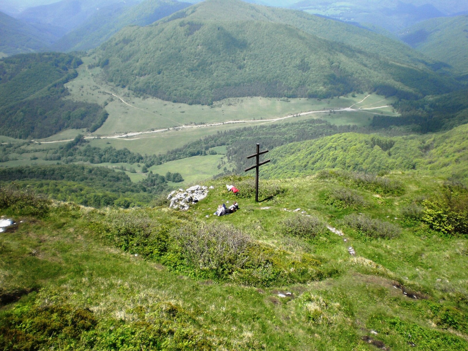
Thanks to its height and position, Strážov offers interesting, far-reaching views. The rocky summit gives an all-round panorama of the surrounding peaks and neighbouring ranges. In good conditions you can see the Malá Fatra, Vtáčnik and Považský Inovec, occasionally even the Kysuce Beskids, Babia Góra and Ostredok. Crosses stand on the summit, including a large double cross.
Nature and history
The whole massif lies in the Strážov Mountains Protected Landscape Area and in the Strážov National Nature Reserve, declared in 1981 on 4.8 km². The massif is carved from a thick layer of Mesozoic limestone and dolomite forming a large nappe: mainly dark-grey Middle Triassic Gutenstein limestone and light-grey Triassic Ramsau dolomite. These rocks used to be classed as a separate Strážov nappe; today geologists see them as part of the Považie nappe (according to newer research, the Ostrá Malenica nappe).
Five tops are distinguished in the massif: northern (1001 m), middle (1063 m), main, western (1025 m) and southern (1104 m). The main summit is rocky and cut on the west by a vertical wall more than ten metres high. The slopes are generally steep, dissected by deep valleys and studded with groups of rocks in many places. The massif hides many caves, mostly developed along vertical cracks. On the western side below the summit lies Jánošíkova jaskyňa, and 200 m south-west of it the Četníková svadba cave, discovered in 2001: cavers have explored about 1300 m of passages and large halls reaching 100 m into the mountain, and in 2013 it was linked with the Strážovská priepasť cave. On the northern slopes, at the boundary of rocks with different resistance to erosion, two Strážov waterfalls have formed.
Safety, season and rules
The summit area is rocky and the west side drops away in a steep wall, so take care near the edge, especially on wet rock or in winter. In the national nature reserve stay on marked trails and do not pick plants. In the Slovak mountains help comes from the Mountain Rescue Service HZS: 18 300 (+421 18 300) or 112.
Interesting facts
- Strážov is one of the most sought-after destinations in the Strážov Mountains thanks to its nature and wide panorama.
- The cave system below the summit is still being explored by cavers.
- A traditional ascent of Strážov from Pružina takes place every year.
Photos: Svetovid, CC BY 3.0; Michal Jakubský, CC BY 3.0; Michal Jakubský, CC BY 3.0; Michal Jakubský, CC BY 3.0; Svetovid, CC BY 3.0 — Wikimedia Commons.
Getting there from Ukraine
Border crossings
- Uzhhorod – Vyšné Nemecké — road, 24/7
- Malyi Bereznyi – Ubľa — road, 24/7 For cars and buses; pedestrians not confirmed by the Ukrainian border service, lorries up to 3.5 t.
- Mali Selmentsi – Veľké Slemence (pedestrian) — pedestrian, 09:00–21:00 Kyiv time Pedestrians and cyclists only; inconvenient for the Tatras without onward transport.
- Chop – Čierna nad Tisou (rail) — rail, 24/7
By car
From Uzhhorod to Žilina ≈330 km, ≈4 h 20 min without queues: Uzhhorod – Vyšné Nemecké → I/19 to Košice → D1 via Prešov, Poprad, Liptovský Mikuláš and Ružomberok (≈17 km on I/18 between D1 sections) → Žilina. To Terchová ≈314 km, ≈4 h 15 min: from the D1 onto I/70 and II/583. From Lviv through Poland: M-10 → Krakovets – Korczowa → A4 to Kraków → S7/DK7 to Chyżne – Trstená → R3, I/59 to Dolný Kubín → II/583 via Terchová to Žilina: to Terchová ≈493 km (≈6 h 30 min), to Žilina ≈518 km (≈7 h). Via the tolled A4 Kraków – Katowice, S1 and D3: ≈533 km, ≈6 h 35 min. The D1 requires an e-vignette (eznamka.sk).
Checked 23.10.2026; border crossing hours and timetables change — check before you travel.
Location on the map
Water and shelter nearby
- Captured spring below Strážov (north slope), 1 024 m480 m · Not verified · 1 024 m
- Captured spring below Strážov (north slope), 968 m550 m · Not verified · 968 m
- Captured spring below Strážov (north-west slope)800 m · Not verified · 876 m
- Spring below Strážov (north-east slope)860 m · Not verified · 888 m
- Hut below Strážov920 m · Not verified · 872 m
- Spring below Strážov (north-west slope)1 km · Not verified · 749 m
- Spring below Kudľajov vrch (south-west slope), 827 m1.5 km · Not verified · 827 m
- Spring below Kudľajov vrch (south-west slope), 801 m1.6 km · Not verified · 801 m
- Spring below Mažiar1.9 km · Not verified · 730 m
- Drinking water below Javorina Pass2 km · Not verified · 633 m
- Spring below Sokolie (south-east slope), 631 m2 km · Not verified · 631 m
- Spring below Sokolie (south-east slope), 623 m2.1 km · Not verified · 623 m
- Spring below Úbočka2.1 km · Not verified · 710 m
- Spring below Javorinka Pass (north-west slope)2.3 km · Not verified · 574 m
Comments
Trails nearby
All trails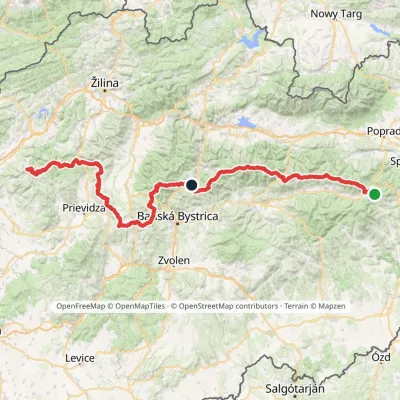 HardMulti-dayMarkedHorná Poruba, U Brdárov Pred ČuntavouElevation profile309–2 004 m241.6 kmascent 15 694 munder 1 km from Strážov
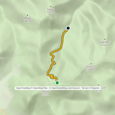 EasyOne-dayMarkedČervíková, hut Lúka pod StrážovomElevation profile604–1 130 m2.9 kmascent 6 m≈ 45 min walkingunder 1 km from Strážov
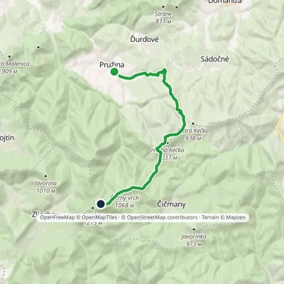 ModerateOne-dayMarkedPružina, garages Meadow under StrážovElevation profile377–1 132 m13.3 kmascent 1 050 m≈ 5.5 h walkingunder 1 km from Strážov
Nearby attractions
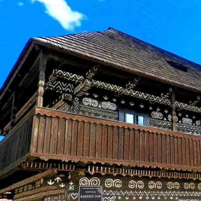 MuseumRaden's House in Čičmany — Museum of the Painted Log HousesČičmany4 km from StrážovČičmany is a mountain village in a basin of the Strážov Hills, close to the source of the Rajčanka river, and the highest-lying village in Žilina District.
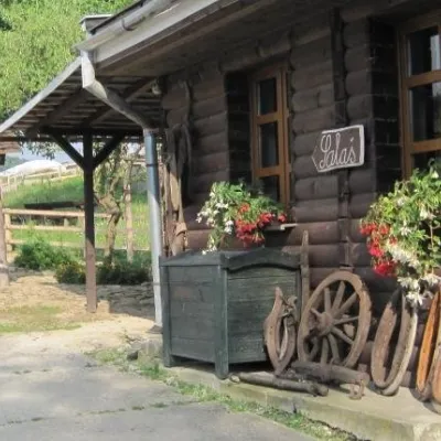 Cheese dairies & pasturesSalaš Pružina: 100% sheep’s bryndza in the Strážov HillsPružina7.4 km from StrážovPružina is a village in a picturesque valley of the Strážov Hills (Strážovské vrchy) west of Považská Bystrica.
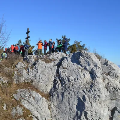 PeakVyšehradJasenovoaltitude 829 m19 km from StrážovVyšehrad (Polish Wyszogród) is a prominent summit 829 m high on the main ridge of the Žiar Mountains in central Slovakia.
Craft nearby
All craft places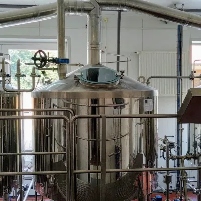 Craft beer & breweriesGalgenberg brewery in Nitrianske Pravno: tour and beer from the tankNitrianske Pravno16 km from StrážovNitrianske Pravno is a large village at the northern end of the Upper Nitra basin, 12 km from Prievidza, where the river Nitra leaves the Malá Magura and Žiar hills.
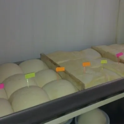 Cheese dairies & pasturesSalaš Orlové near Považská Bystrica: cheese, bryndza, žinčicaPovažská Bystrica20 km from StrážovOrlové is a part of the town of Považská Bystrica on the left bank of the Váh, at the foot of hills that rise into the Strážov Hills.
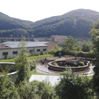 Water parks & thermal poolsNimnica: a mineral-water spa above the Nosice reservoirNimnica21 km from StrážovNimnica is one of Slovakia's youngest spas, in the Váh valley between Púchov and Považská Bystrica. Its spa houses stand at about 300 m on a wooded spur of the...
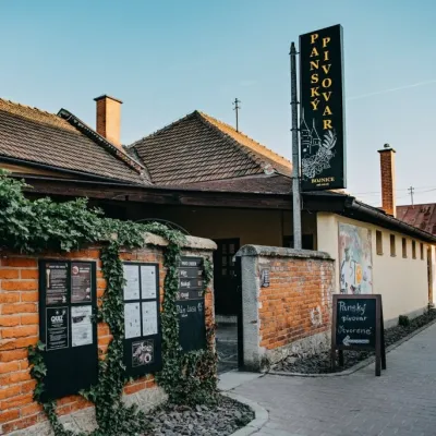 Craft beer & breweriesPanský pivovar Bojnice: unfiltered craft beer below the castleBojnice21 km from StrážovBojnice is a spa town in the upper Nitra valley at the foot of the Strážov Hills, famous for the fairy-tale castle of the Pálffy family.
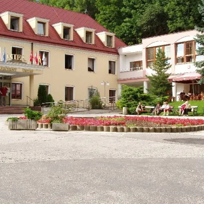 Water parks & thermal poolsBojnice Spa: thermal springs, pools and treatmentsBojnice22 km from StrážovBojnice Spa (Kúpele Bojnice) lies on the edge of the town of Bojnice, about 3 km from Prievidza, in the Upper Nitra basin – at the eastern foot of the Malá Magura...
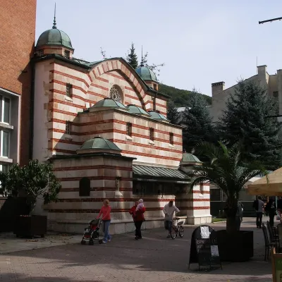 Water parks & thermal poolsTrenčianske Teplice: the Hammam and sulphur thermal bathsTrenčianske Teplice22 km from StrážovTrenčianske Teplice is one of Slovakia's oldest spas, squeezed into a narrow wooded valley of the Strážov Mountains not far from Trenčín.
