Vyšehrad
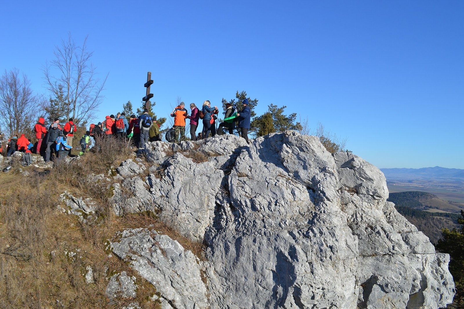
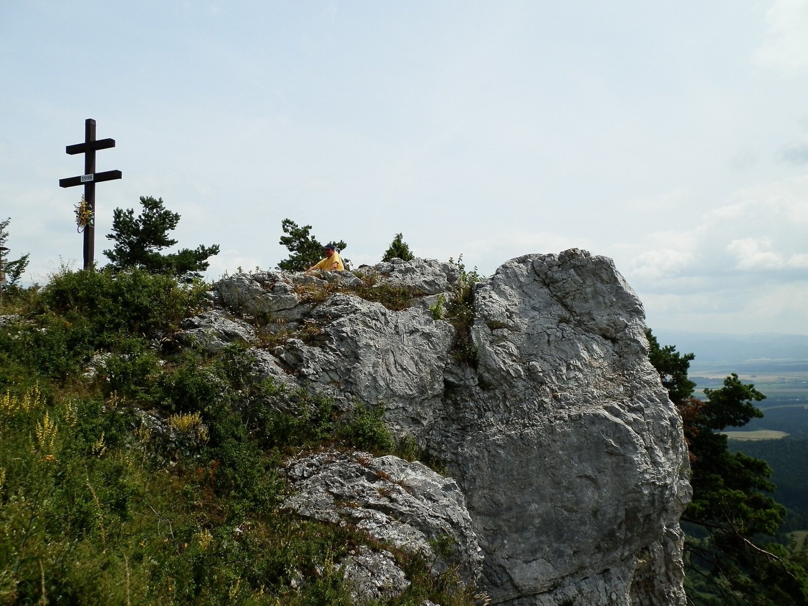
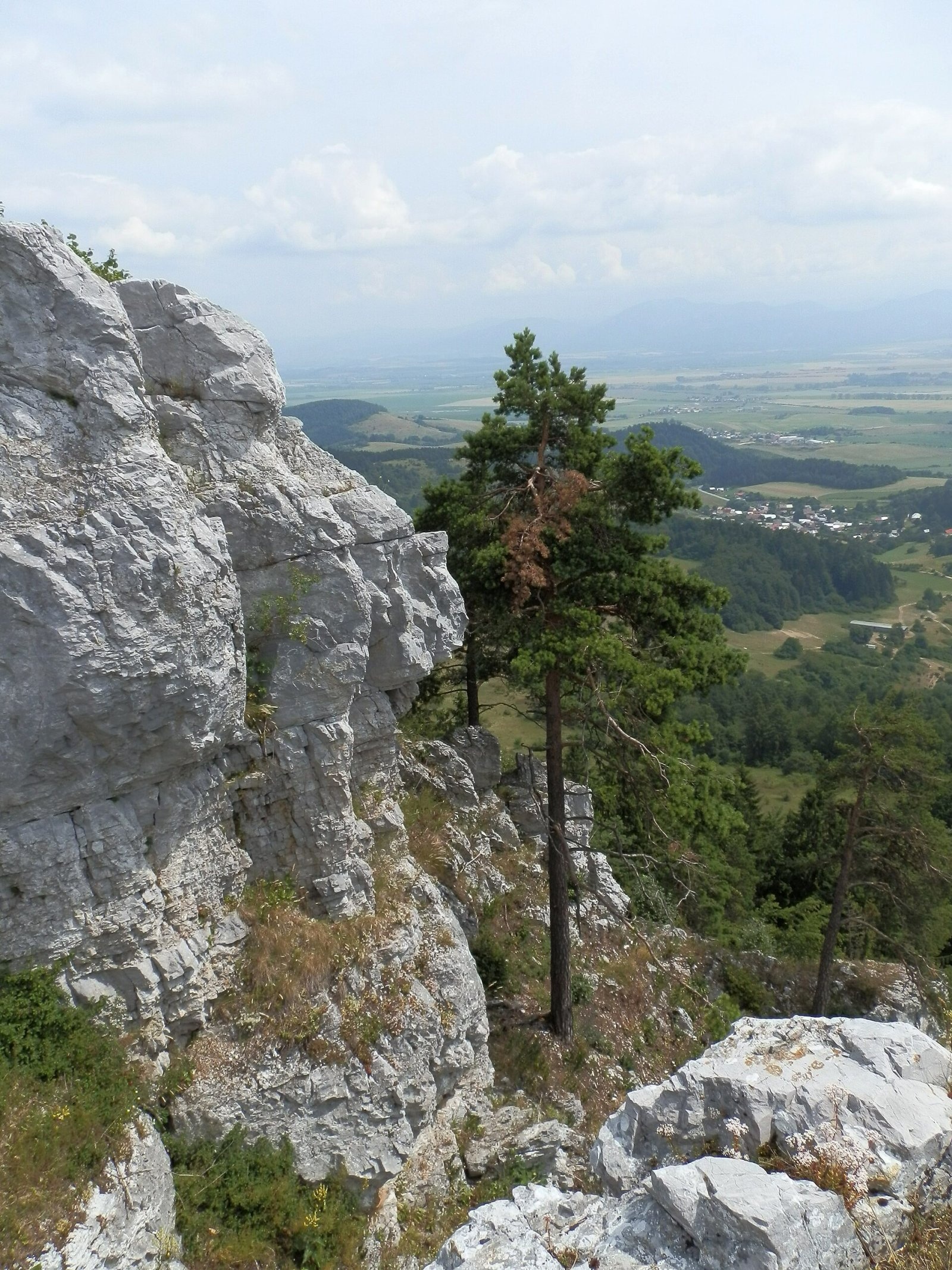
Vyšehrad (Polish Wyszogród) is a prominent summit 829 m high on the main ridge of the Žiar Mountains in central Slovakia. It rises above the village of Jasenovo (about 2 km away), roughly 11 km west of the town of Turčianske Teplice, between the Upper Nitra and Turiec basins. The boundary between the Trenčín and Žilina regions (Prievidza and Turčianske Teplice districts) runs over the top, and the slopes belong to the municipalities of Nitrianske Pravno and Jasenovo. The summit is a limestone outlier rising above mostly shale surroundings; its rocky plateau is part of the Vyšehrad national nature reserve. A double cross stands on the top.
Getting there / routes
Vyšehrad is a popular hiking goal, easily reached from the nearby Vyšehradské sedlo or from the villages around it.
- Red — the SNP Heroes’ Trail (Cesta hrdinov SNP), here also part of the European long-distance path E8: from the north from Závozy via Vyšehradské sedlo (579 m), crossed by road II/519; from the south-east along the ridge below Malý Vyšehrad.
- Green: from the east from Jasenovo or from the west from Nitrianske Pravno.
The shortest climb is from Vyšehradské sedlo: from the road to the summit you gain roughly 250 m of height.
What you can see from the summit
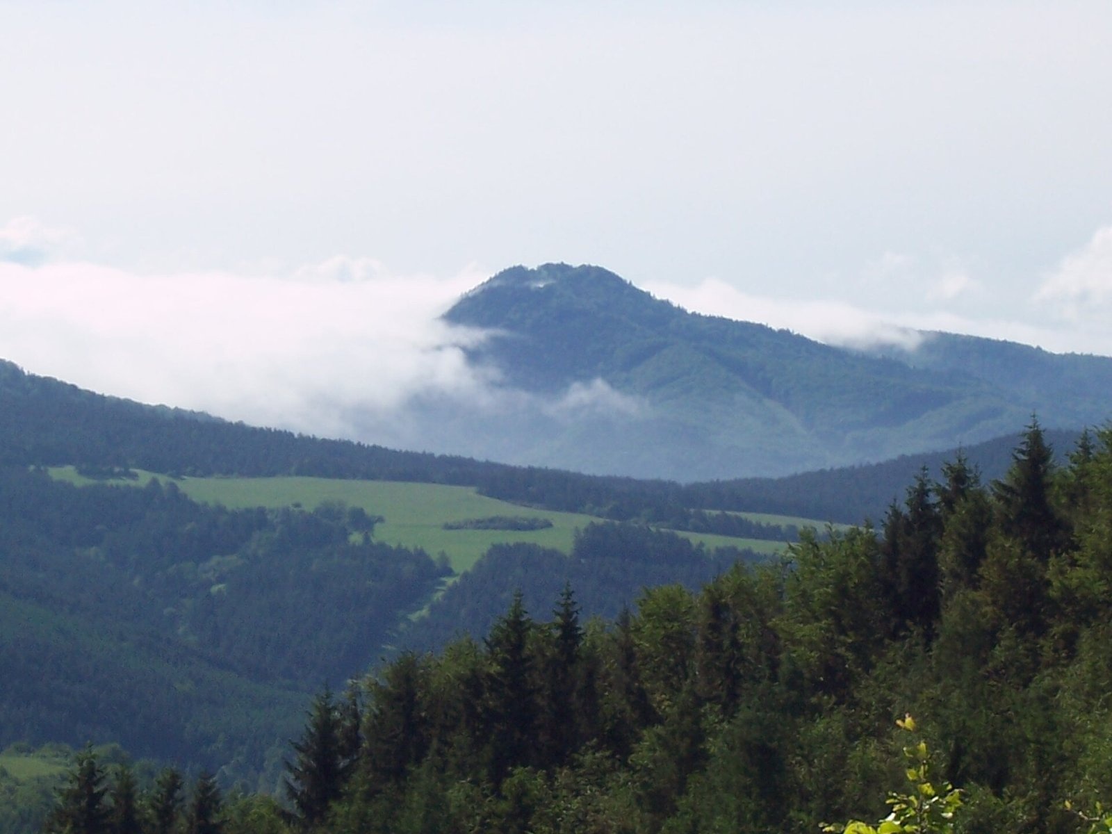
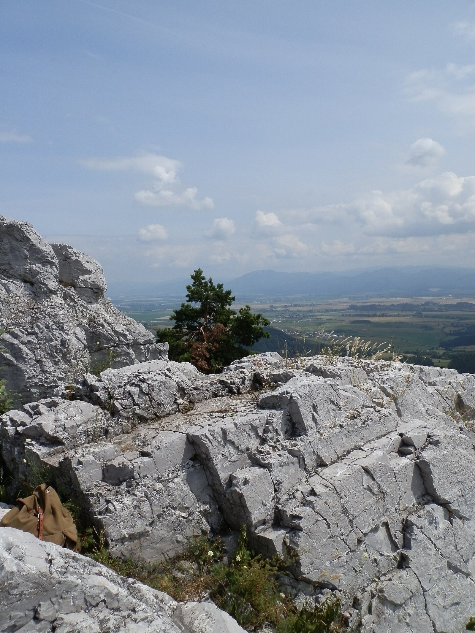
Sparse trees and a partly rocky plateau, together with the favourable position, give an all-round panorama. You can see the neighbouring Žiar summits and the Turiec and Upper Nitra basins, and in good conditions the Lesser and Greater Fatra, the Kremnica Mountains, Vtáčnik and the Strážov Mountains.
Nature and history
Vyšehrad lies on the main ridge, which runs from the northern part of the range through Vyšehradské sedlo and on via Malý Vyšehrad (766 m) south-east towards Horeňov. North of the saddle stands Čierny les (721 m), to the south Malý Vyšehrad. The western part of the massif drains through tributaries of the Vyšehradný stream to the Nitra, the eastern part through the Jasenovský stream into the Turiec basin.
Thanks to its position near the saddle linking Upper Nitra with Turiec, the summit attracted several cultures, including the Celts and the Slavs. Remains of Celtic and Slavic fortifications survive on the hard-to-reach summit plateau, the most significant dating from the Great Moravian period, when the Vyšehrad hillfort was an important regional centre of the state. Later a medieval castle stood here, guarding the passage from the Upper Nitra basin to Turiec. The name of the mountain probably comes from this stronghold. The hillfort is listed as a Slovak cultural monument.
Safety, season and rules
The summit is not high, but the rocky plateau has steep drops — stay on the path, especially with children and in fog, and keep away from the cliff edges. Limestone boulders are slippery when wet. The archaeological site is protected by law: do not dig or take anything. This is a nature reserve — do not leave the marked trails and take your litter home. Slovak Mountain Rescue Service (HZS): 18 300 (+421 18 300), general emergency number 112.
Photos: Elenyyy, CC BY-SA 4.0; Michal Jakubský, CC BY 3.0; Branik P, CC BY-SA 3.0; Michal Jakubský, CC BY 3.0; Michal Jakubský, CC BY 3.0; Pe3kZA, CC BY-SA 4.0; 113nessinka, CC BY-SA 3.0 — Wikimedia Commons.
Getting there from Ukraine
Border crossings
- Uzhhorod – Vyšné Nemecké — road, 24/7
- Malyi Bereznyi – Ubľa — road, 24/7 For cars and buses; pedestrians not confirmed by the Ukrainian border service, lorries up to 3.5 t.
- Mali Selmentsi – Veľké Slemence (pedestrian) — pedestrian, 09:00–21:00 Kyiv time Pedestrians and cyclists only; inconvenient for the Tatras without onward transport.
- Chop – Čierna nad Tisou (rail) — rail, 24/7
By car
From Uzhhorod to Žilina ≈330 km, ≈4 h 20 min without queues: Uzhhorod – Vyšné Nemecké → I/19 to Košice → D1 via Prešov, Poprad, Liptovský Mikuláš and Ružomberok (≈17 km on I/18 between D1 sections) → Žilina. To Terchová ≈314 km, ≈4 h 15 min: from the D1 onto I/70 and II/583. From Lviv through Poland: M-10 → Krakovets – Korczowa → A4 to Kraków → S7/DK7 to Chyżne – Trstená → R3, I/59 to Dolný Kubín → II/583 via Terchová to Žilina: to Terchová ≈493 km (≈6 h 30 min), to Žilina ≈518 km (≈7 h). Via the tolled A4 Kraków – Katowice, S1 and D3: ≈533 km, ≈6 h 35 min. The D1 requires an e-vignette (eznamka.sk).
Checked 23.10.2026; border crossing hours and timetables change — check before you travel.
Location on the map
Water and shelter nearby
- Spring below Vyšehrad410 m · Not verified · 698 m
- Spring below Malý Vyšehrad1.4 km · Not verified · 693 m
Comments
Trails nearby
All trails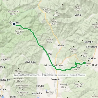 HardTwo-dayMarkedČičmany JasenovoElevation profile333–829 m23.8 kmascent 810 m≈ 7.5 h walkingunder 1 km from Vyšehrad
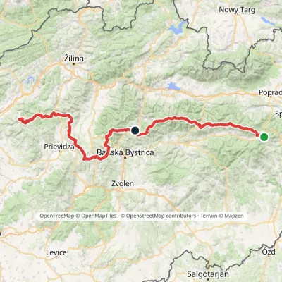 HardMulti-dayMarkedHorná Poruba, U Brdárov Pred ČuntavouElevation profile309–2 004 m241.6 kmascent 15 694 munder 1 km from Vyšehrad
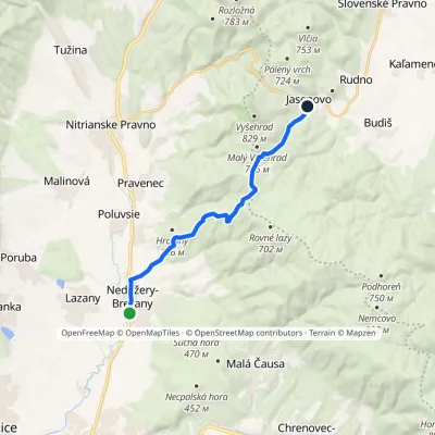 ModerateOne-dayMarkedVia MagnaElevation profile291–699 m11.1 kmascent 419 m≈ 3.5 h walking1.2 km from Vyšehrad
Nearby attractions
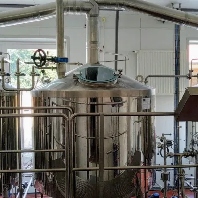 Craft beer & breweriesGalgenberg brewery in Nitrianske Pravno: tour and beer from the tankNitrianske Pravno4.8 km from VyšehradNitrianske Pravno is a large village at the northern end of the Upper Nitra basin, 12 km from Prievidza, where the river Nitra leaves the Malá Magura and Žiar hills.
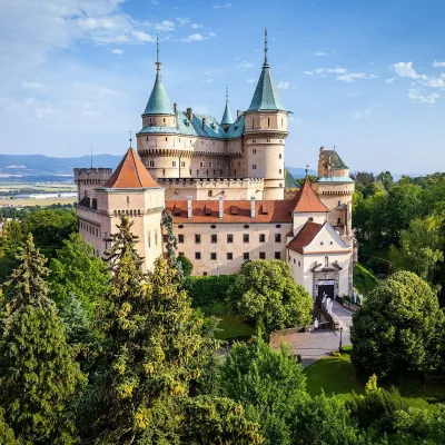 MuseumBojnice Castle — Slovak National MuseumBojnice14 km from VyšehradBojnice Castle (Bojnický zámok) rises on a travertine mound above the spa town of Bojnice near Prievidza, in the upper Nitra valley.
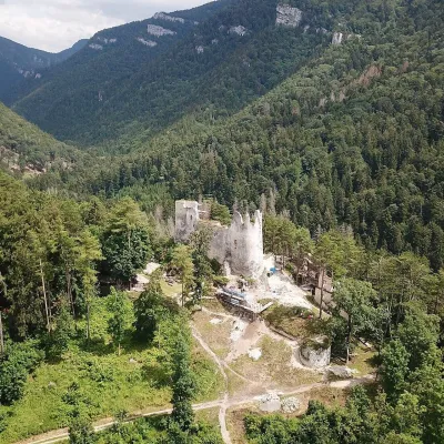 CastleBlatnica Castle and the Gader ValleyBlatnica20 km from VyšehradBlatnica Castle (Blatnický hrad) is a medieval ruin on the low but sharp limestone ridge of Plešovica (658 m), which separates the Gader valley (Gaderská dolina) from...
Craft nearby
All craft places Water parks & thermal poolsSpa & Aquapark Turčianske TepliceTurčianske Teplice12 km from VyšehradTurčianske Teplice is one of Slovakia’s oldest spa towns. Its warm springs were first mentioned in 1281 in a deed of gift by King Ladislaus IV, and from 1533 they...
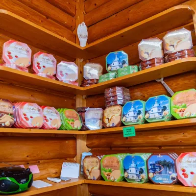 Cheese dairies & pasturesTuriec bryndza dairy, Turčianske Teplice: bryndza since 1917Turčianske Teplice12 km from VyšehradMore than a hundred years of Turiec bryndza Turiec is a wide basin between the ridges of the Veľká and Malá Fatra, a land of pastures and old sheep farming.
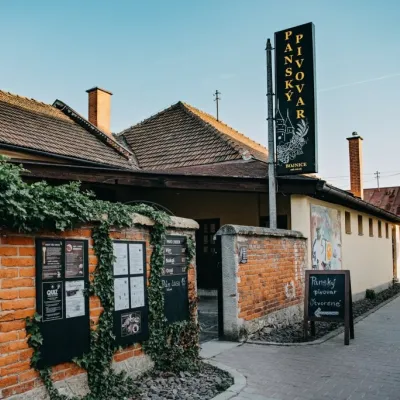 Craft beer & breweriesPanský pivovar Bojnice: unfiltered craft beer below the castleBojnice14 km from VyšehradBojnice is a spa town in the upper Nitra valley at the foot of the Strážov Hills, famous for the fairy-tale castle of the Pálffy family.
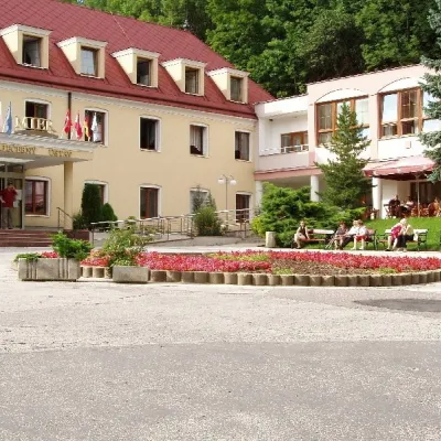 Water parks & thermal poolsBojnice Spa: thermal springs, pools and treatmentsBojnice15 km from VyšehradBojnice Spa (Kúpele Bojnice) lies on the edge of the town of Bojnice, about 3 km from Prievidza, in the Upper Nitra basin – at the eastern foot of the Malá Magura...
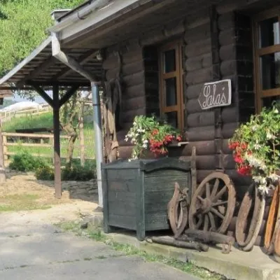 Cheese dairies & pasturesSalaš Pružina: 100% sheep’s bryndza in the Strážov HillsPružina23 km from VyšehradPružina is a village in a picturesque valley of the Strážov Hills (Strážovské vrchy) west of Považská Bystrica.
 Craft producersKremnica gingerbread: the Haurík family bakery since 1922Kremnica25 km from VyšehradKremnica is an old mining town in the Kremnica Mountains where coins have been struck for more than six centuries.
