Via Magna
Trail map
Route, springs and shelters: © OpenStreetMap contributors (ODbL) · elevation: Copernicus DEM © DLR e.V., © Airbus DS · Data & licences
About the trail
Route Via Magna. Has blue marking (regional route №2603, KST). Waymarking data: OpenStreetMap (© OpenStreetMap contributors, ODbL).
Officially marked regional tourist route No. 2603. The marking is blue, the sign is a horizontal stripe on a white background. Marked and maintained by: KST. Length of the route — 11.1 km. Location: mountain range — Strazhovske Mountains, Slovakia.
At a glance
A one-day route of 11.1 km with 419 m of ascent. Estimated walking time: about 3.5 h, not counting stops. Difficulty: moderate. Waymarking: blue.
Route stages
- 0–2 kmGentle ups and downs at 290–320 m
- 2–5 kmClimb of 250 m (up to 563 m)
- 5–8 kmGentle ups and downs at 560–700 m
- 8–11 kmDescent of 180 m (down to 513 m)
Steepest kilometre: km 9–10, a descent of 130 m (≈13%).
Water and overnight stays
A spring near the trail: at km 8. There are no springs between km 0 and 8 — carry at least 1.5 l of water.
When to go
The route can be walked most of the year; it is most comfortable from April to October.
Getting there
This is a one-way route: the finish is 9 km from the start in a straight line, so plan your way back in advance.
FAQ
- How long does the route take?
- Estimated walking time: about 3.5 h, not counting stops.
- Is there water on the route?
- A spring near the trail: at km 8. There are no springs between km 0 and 8 — carry at least 1.5 l of water.
Water and shelter on the route
- Spring below Malý Vyšehradkm 8.5 from the start · Not verified · 693 m
Comments
Trails nearby
All trails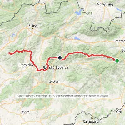 HardMulti-dayMarkedHorná Poruba, U Brdárov Pred ČuntavouElevation profile309–2 004 m241.6 kmascent 15 694 m
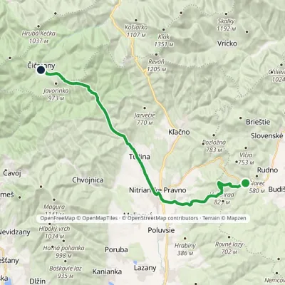 HardTwo-dayMarkedČičmany JasenovoElevation profile333–829 m23.8 kmascent 810 m≈ 7.5 h walking
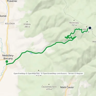 ModerateOne-dayMarkedNedožery Štyri chotáreElevation profile289–718 m9.9 kmascent 427 m≈ 3.5 h walking
Craft nearby
All craft places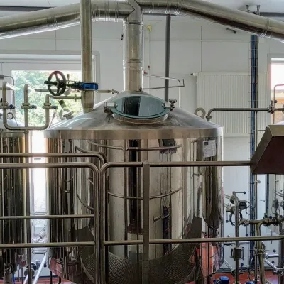 Craft beer & breweriesGalgenberg brewery in Nitrianske Pravno: tour and beer from the tank6.1 km from the trailNitrianske Pravno is a large village at the northern end of the Upper Nitra basin, 12 km from Prievidza, where the river Nitra leaves the Malá Magura and Žiar hills.
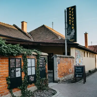 Craft beer & breweriesPanský pivovar Bojnice: unfiltered craft beer below the castle6.2 km from the trailBojnice is a spa town in the upper Nitra valley at the foot of the Strážov Hills, famous for the fairy-tale castle of the Pálffy family.
 Water parks & thermal poolsSpa & Aquapark Turčianske Teplice17 km from the trailTurčianske Teplice is one of Slovakia’s oldest spa towns. Its warm springs were first mentioned in 1281 in a deed of gift by King Ladislaus IV, and from 1533 they...
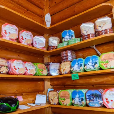 Cheese dairies & pasturesTuriec bryndza dairy, Turčianske Teplice: bryndza since 191717 km from the trailMore than a hundred years of Turiec bryndza Turiec is a wide basin between the ridges of the Veľká and Malá Fatra, a land of pastures and old sheep farming.
 Craft producersKremnica gingerbread: the Haurík family bakery since 192224 km from the trailKremnica is an old mining town in the Kremnica Mountains where coins have been struck for more than six centuries.
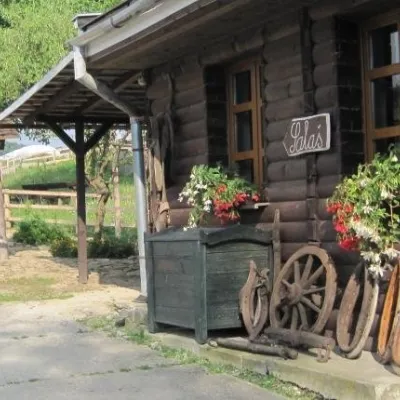 Cheese dairies & pasturesSalaš Pružina: 100% sheep’s bryndza in the Strážov Hills26 km from the trailPružina is a village in a picturesque valley of the Strážov Hills (Strážovské vrchy) west of Považská Bystrica.
