Trenčín District
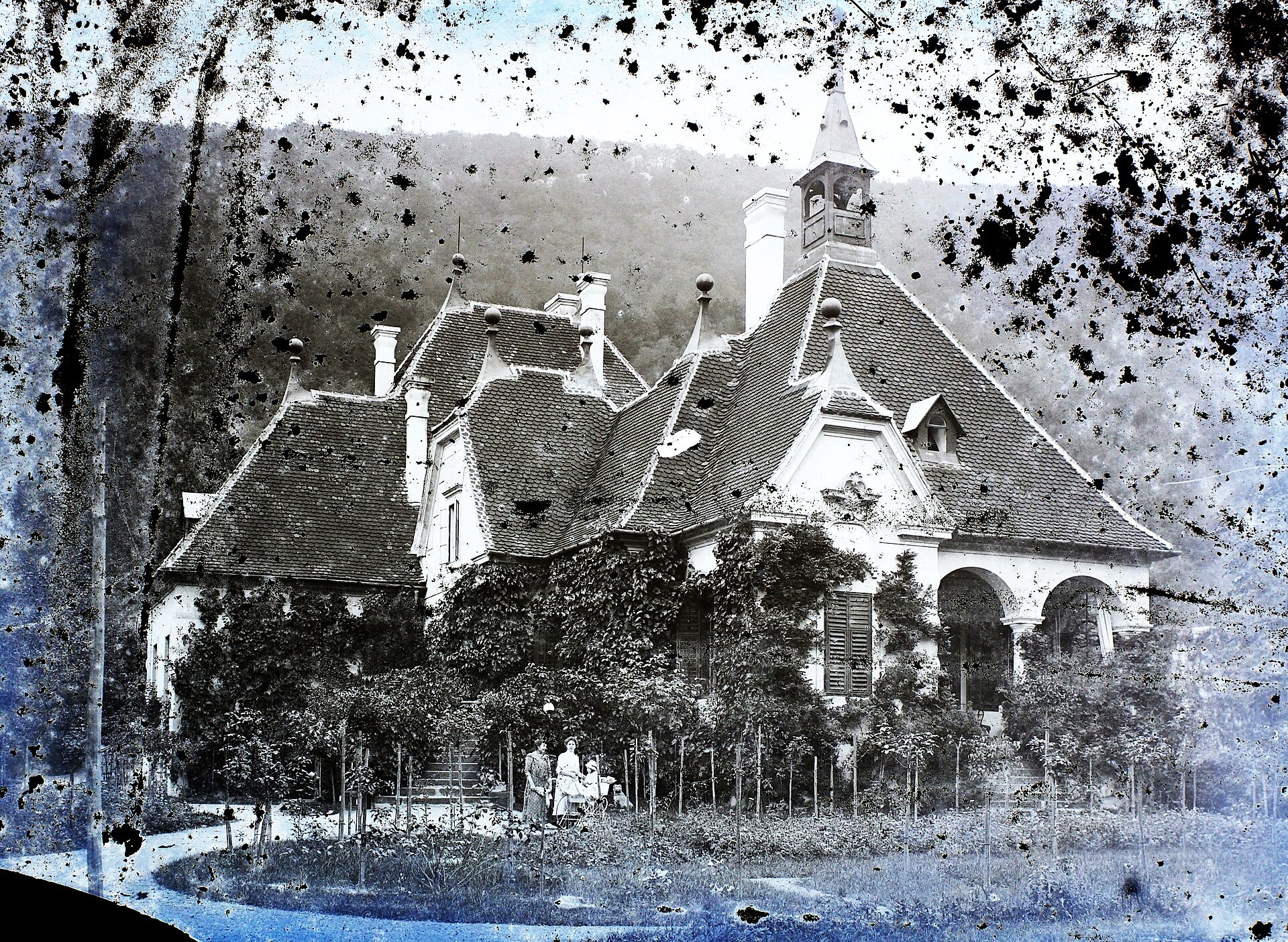
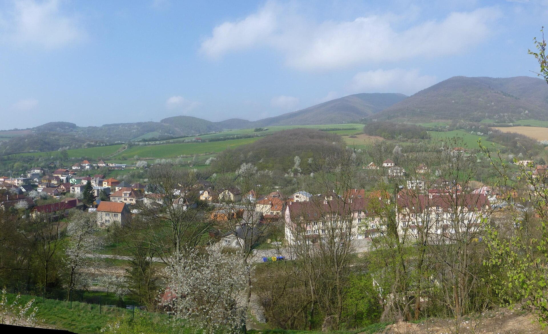
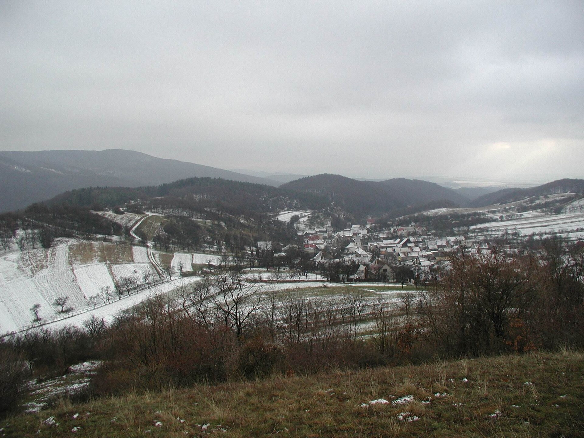
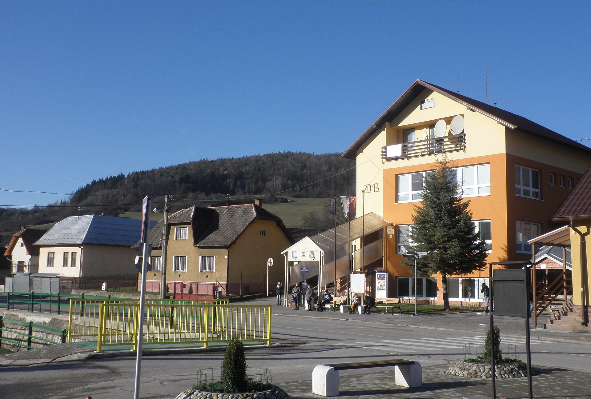
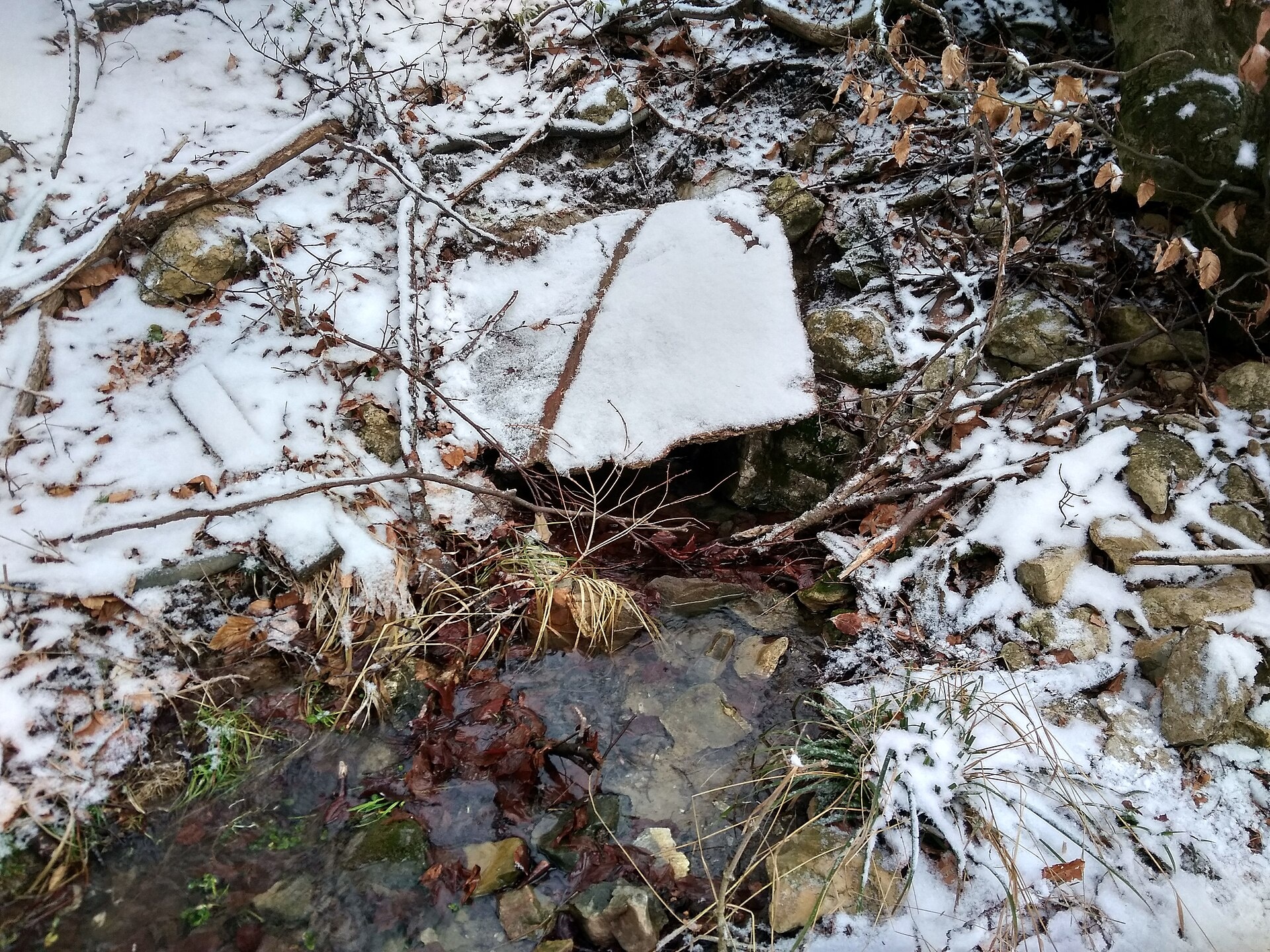
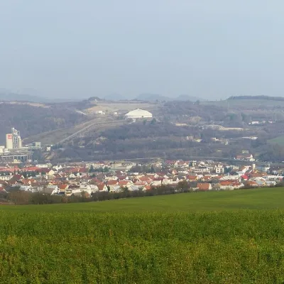
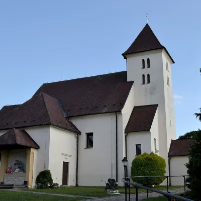
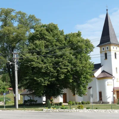
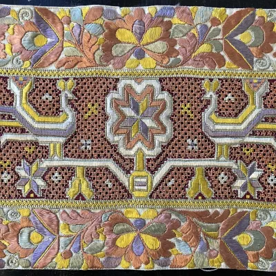
Photos: Trenčianske Teplice (FOTO:Fortepan — ID 86521: Adományozó/Donor: Magyar Földrajzi Múzeum / Erdélyi Mór cége. archive copy at the Wayback M…, Public domain); Drietoma (Pelex, CC BY-SA 4.0); Petrova Lehota (Fezoj, CC BY-SA 4.0); Omšenie (Qasinka, CC0); Dolná Poruba (Lubosb, CC BY-SA 4.0)
Trenčín District is an administrative district in the Trenčín Region of northwestern Slovakia. Its administrative centre is the city of Trenčín. Until 1918, the territory was part of the Hungarian county of Trencsén, and the current district boundaries were established in 1996 during Slovakia's administrative reform. The district consists of 3 towns and 34 rural municipalities.
The area includes the Bánovské Hills and borders the White Carpathians to the west. The Biskupický Canal flows through the district. Trenčín District is known for its natural landscapes and the spa town of Trenčianske Teplice, which features a hammam and sulphur thermal baths.
On karpaty.rocks, the most featured places are Trenčín, Trenčianske Teplice, as well as the villages of Horná Súča, Chocholná-Velčice, and Soblahov. Notable hiking trails include Dubnica nad Váhom – Trenčianske Teplice, Hlohovec – Trenčín, Hotel Elizabeth, and Trenčianske Jastrabie – Nad Krasnou dolinou. Mountain huts such as Prístrešok pod Ostrým Vrchom and Inovecký prístrešok are available for visitors.
Getting there from Ukraine
From Uzhhorod to Žilina is about 330 km, taking approximately 4 hours 20 minutes without queues: Uzhhorod – Vyšné Nemecké → I/19 to Košice → D1 via Prešov, Poprad, Liptovský Mikuláš and Ružomberok (about 17 km on I/18 between D1 sections) → Žilina. The D1 requires an e-vignette (eznamka.sk).
Sources: Wikipedia, Wikidata, OpenStreetMap, Karpaty.rocks data.
Towns and villages
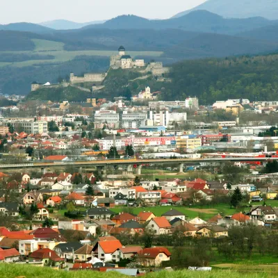 Trenčín11 trails
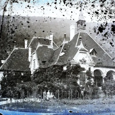 Trenčianske Teplice6 trails, 1 spa or thermal pool
 Horná Súča4 trailsChocholná-Velčice3 trails
 Horné Srnie2 trails
 Soblahov1 trail, 1 mountain hut or shelter
 Trenčianske Jastrabie1 trail, 1 mountain hut or shelter
 Trenčianska Teplá1 trail
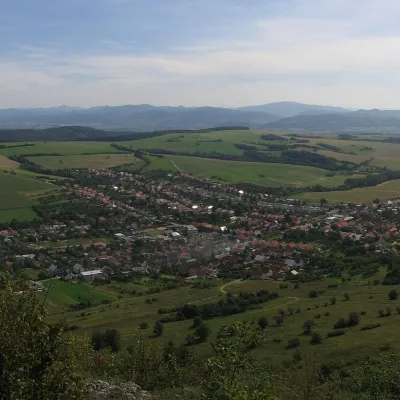 Dolná Súča1 trail
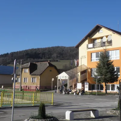 Omšenie1 trail
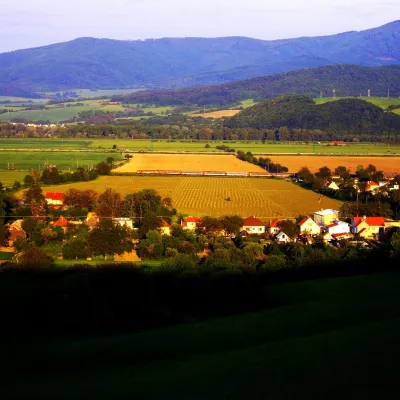 Melčice-Lieskové1 trail
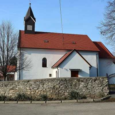 Mníchova Lehota1 trail
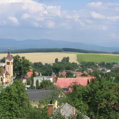 Dubodiel1 trail
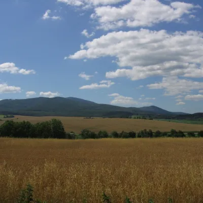 Selec1 peak
 Dolná Poruba1 trail
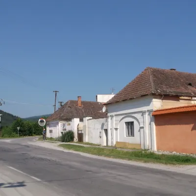 Motešice1 trail
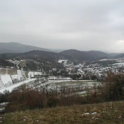 Petrova Lehota1 trail
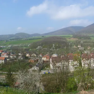 Drietoma
Getting there from Ukraine
Border crossings
- Uzhhorod – Vyšné Nemecké — road, 24/7
- Malyi Bereznyi – Ubľa — road, 24/7 For cars and buses; pedestrians not confirmed by the Ukrainian border service, lorries up to 3.5 t.
- Mali Selmentsi – Veľké Slemence (pedestrian) — pedestrian, 09:00–21:00 Kyiv time Pedestrians and cyclists only; inconvenient for the Tatras without onward transport.
- Chop – Čierna nad Tisou (rail) — rail, 24/7
By car
From Uzhhorod to Žilina ≈330 km, ≈4 h 20 min without queues: Uzhhorod – Vyšné Nemecké → I/19 to Košice → D1 via Prešov, Poprad, Liptovský Mikuláš and Ružomberok (≈17 km on I/18 between D1 sections) → Žilina. To Terchová ≈314 km, ≈4 h 15 min: from the D1 onto I/70 and II/583. From Lviv through Poland: M-10 → Krakovets – Korczowa → A4 to Kraków → S7/DK7 to Chyżne – Trstená → R3, I/59 to Dolný Kubín → II/583 via Terchová to Žilina: to Terchová ≈493 km (≈6 h 30 min), to Žilina ≈518 km (≈7 h). Via the tolled A4 Kraków – Katowice, S1 and D3: ≈533 km, ≈6 h 35 min. The D1 requires an e-vignette (eznamka.sk).
Checked 23.10.2026; border crossing hours and timetables change — check before you travel.
