Trenčín
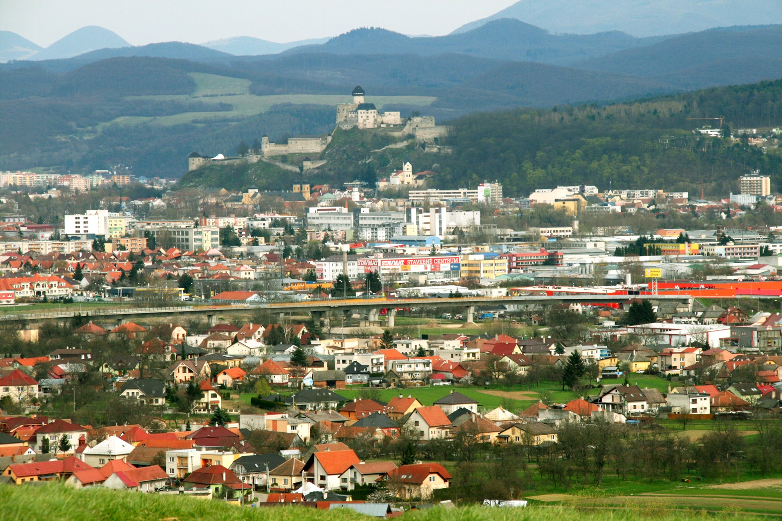
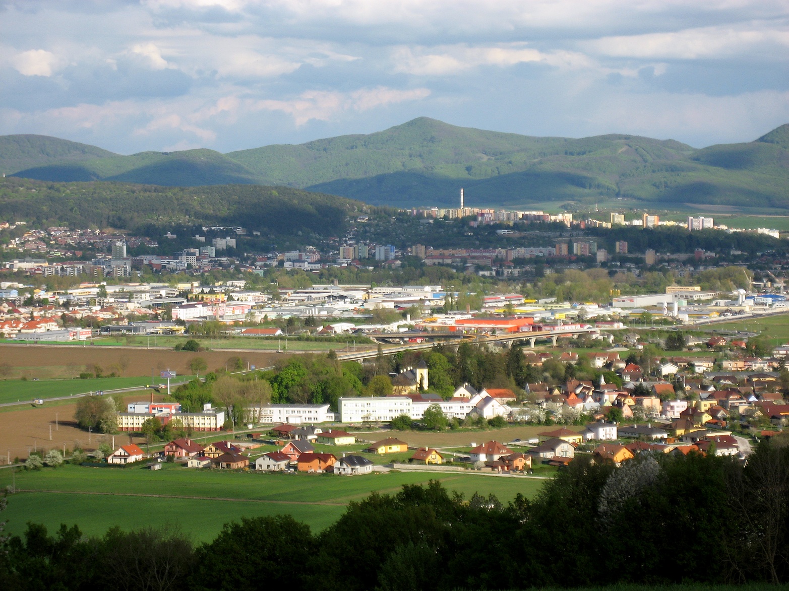
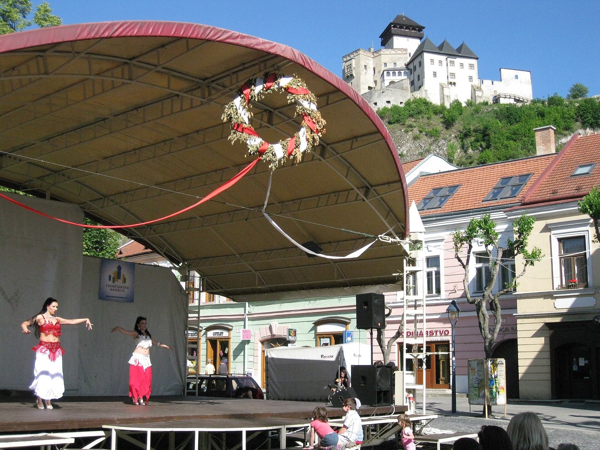
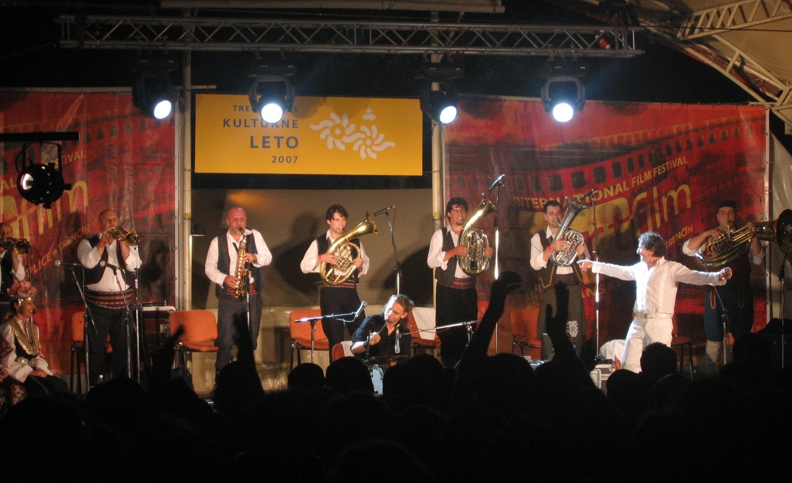
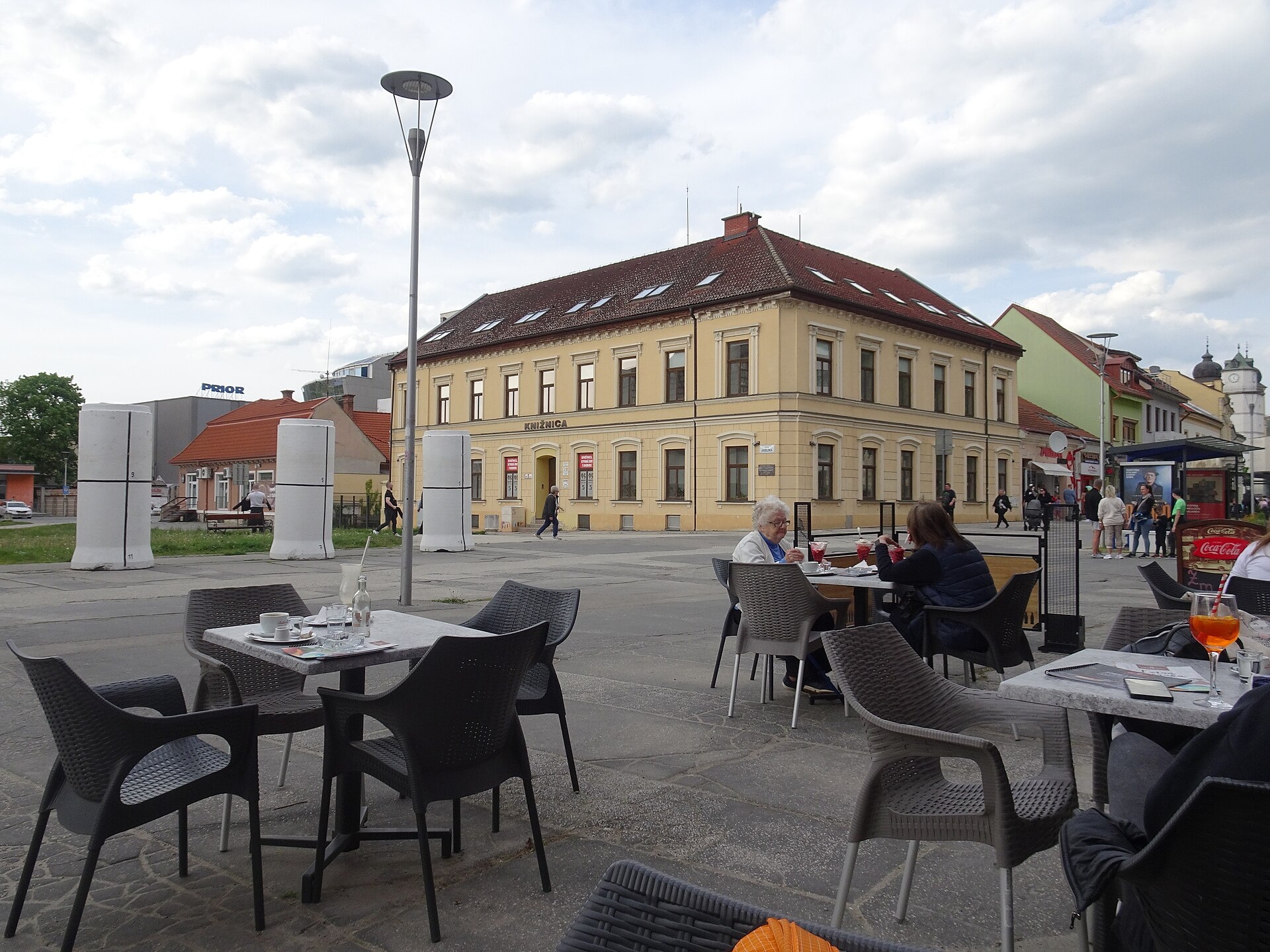
Photos: Peter Zelizňák, Public domain (Wikimedia Commons); Peter Zelizňák, Public domain (Wikimedia Commons); Tumi-1983, CC0 (Wikimedia Commons); Juloml, CC BY-SA 3.0 (Wikimedia Commons); Palickap, CC BY 4.0 (Wikimedia Commons); KormiSK, CC BY-SA 4.0 (Wikimedia Commons)
Trenčín is a city in western Slovakia, situated on the Váh River and serving as the administrative centre of the Trenčín Region and Trenčín District. The city lies in a valley surrounded by the Western Carpathians, near the Czech border. At an elevation of 217 metres, Trenčín has a population of over 54,000 (2025). The city is known for its scenic hills and rich historical heritage.
The earliest traces of settlement in the area date back to the 4th millennium BC. In 179 AD, a Roman legion was stationed here, as evidenced by an inscription on the rock below Trenčín Castle, linked to the Marcomannic Wars. In 1018, the city was annexed to Hungary. Trenčín flourished in the 14th century under Matthew Csák, and in 1412 it received the status of a free royal town. The city survived a Turkish siege in the 17th century, underwent Baroque reconstruction in the 18th century, and saw industrial growth in the 19th century.
Trenčín is renowned for its medieval castle, Trenčín Castle, which stands on a rock above the city and is the third largest in Slovakia. Other architectural landmarks include the Church of St. Mary, Church of St. Francis, Chapel of St. Michael, Piarist Monastery, Lutheran church, town hall, executioner's house, synagogue, and the Peace Square ensemble. The city is also known for the Roman inscription on the rock and its connection to Countess Elizabeth Báthory. Trenčín hosts the NATO Explosive Ordnance Disposal Centre of Excellence.
Visitors can explore Trenčín Castle, stroll through the old town, or enjoy the many hiking trails in the Western Carpathians. Notable routes include "Dubnica nad Váhom – Trenčianske Teplice", "Hlohovec – Trenčín, Hotel Elizabeth", "Nová Dubnica – Kamenné vrata", and "Prejta – Shelter under Ostrý vrch". Mountain enthusiasts can stay at the Shelter under Ostrý vrch or Inovec Shelter. For relaxation, Trenčianske Teplice offers a hammam and sulphur thermal baths.
Getting there from Ukraine
From Uzhhorod to Žilina is about 330 km, approximately 4 h 20 min without queues: Uzhhorod – Vyšné Nemecké → I/19 to Košice → D1 via Prešov, Poprad, Liptovský Mikuláš and Ružomberok (≈17 km on I/18 between D1 sections) → Žilina. Continue on the D1 to Trenčín. The D1 requires an e-vignette (eznamka.sk).
Sources: Wikipedia, Wikidata, OpenStreetMap, Karpaty.rocks data. More on Wikipedia
What's nearby
Trails nearby
All trails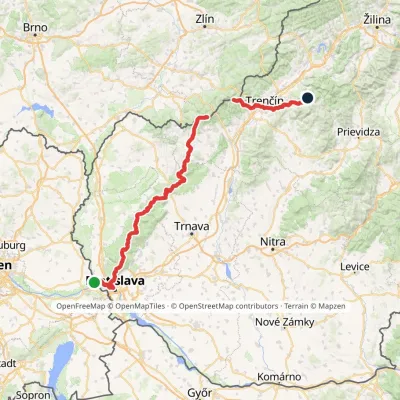 HardMulti-dayMarkedHrad Devín, parking Horná Poruba, U BrdárovElevation profile146–965 m190.1 kmascent 7 200 munder 1 km from the centre
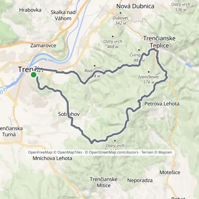 HardMulti-dayMarkedVladov Trail (marathon route)Elevation profile212–701 m33 kmascent 1 109 m≈ 10.5 h walkingunder 1 km from the centre
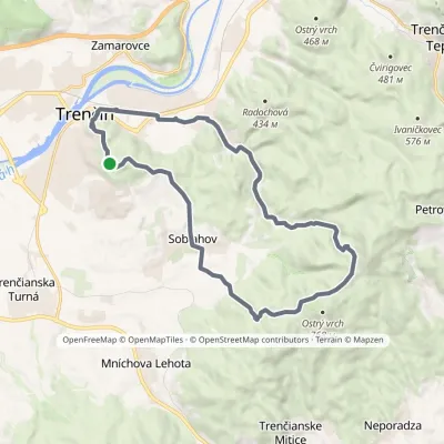 ModerateTwo-dayMarkedJanov Trail (long family route)Elevation profile212–633 m22.7 kmascent 553 m≈ 7 h walkingunder 1 km from the centre
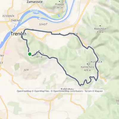 ModerateOne-dayMarkedStanov Trail (Short Family Route)Elevation profile212–381 m14.8 kmascent 238 m≈ 4 h walkingunder 1 km from the centre
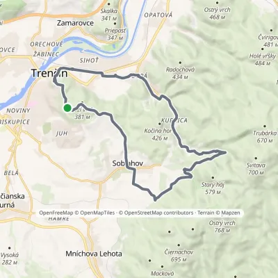 ModerateTwo-dayMarkedAnkin chodník (medium family route)Elevation profile212–418 m20.3 kmascent 343 m≈ 6 h walkingunder 1 km from the centre
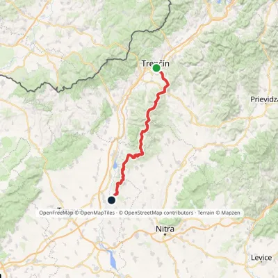 HardMulti-dayMarkedHlohovec Trenčín, Hotel ElizabethElevation profile145–1 041 m81.8 kmascent 2 463 munder 1 km from the centre
Peaks nearby
All peaks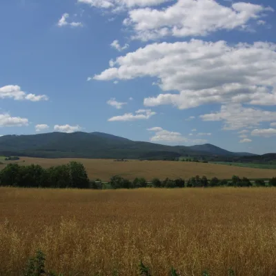 PeakInovecSelecaltitude 1 041 m13 km from the centreInovec (Polish Inowiec) is the highest summit of the Považský Inovec range in western Slovakia, at 1,041 m (more precisely 1,041.6 m).
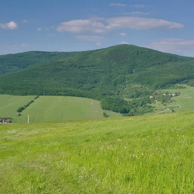 PeakVeľký LopeníkNová Bošácaaltitude 911 m19 km from the centreVeľký Lopeník (Czech Velký Lopeník) is a distinctive 911 m summit of the White Carpathians (911.3 m according to Slovak data) on the border between Slovakia and Czechia.
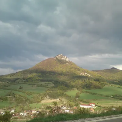 PeakVápečKošecké Podhradiealtitude 955 m22 km from the centreVápeč is a 955 m summit in the Strážov Mountains (Strážovské vrchy) in western Slovakia. It rises above the village of Horná Poruba, about 9 km south-east of Ilava,...
What to visit
All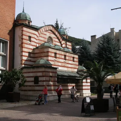 Water parks & thermal poolsTrenčianske Teplice: the Hammam and sulphur thermal bathsTrenčianske Teplice10 km from the centreTrenčianske Teplice is one of Slovakia's oldest spas, squeezed into a narrow wooded valley of the Strážov Mountains not far from Trenčín.
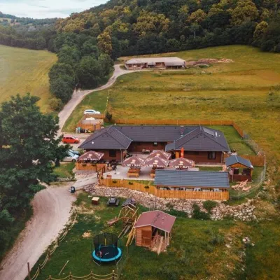 Cheese dairies & pasturesSalaš Beckov: 100% sheep’s cheese and bryndza dumplingsBeckov17 km from the centreA sheep salaš beside one of the Váh valley’s finest castles Beckov is a village in the Váh valley between Nové Mesto nad Váhom and Trenčín, overlooked by the ruins of...
Spas and thermal pools nearby
Huts, shelters and springs nearby
Getting there from Ukraine
Border crossings
- Uzhhorod – Vyšné Nemecké — road, 24/7
- Malyi Bereznyi – Ubľa — road, 24/7 For cars and buses; pedestrians not confirmed by the Ukrainian border service, lorries up to 3.5 t.
- Mali Selmentsi – Veľké Slemence (pedestrian) — pedestrian, 09:00–21:00 Kyiv time Pedestrians and cyclists only; inconvenient for the Tatras without onward transport.
- Chop – Čierna nad Tisou (rail) — rail, 24/7
By car
From Uzhhorod to Žilina ≈330 km, ≈4 h 20 min without queues: Uzhhorod – Vyšné Nemecké → I/19 to Košice → D1 via Prešov, Poprad, Liptovský Mikuláš and Ružomberok (≈17 km on I/18 between D1 sections) → Žilina. To Terchová ≈314 km, ≈4 h 15 min: from the D1 onto I/70 and II/583. From Lviv through Poland: M-10 → Krakovets – Korczowa → A4 to Kraków → S7/DK7 to Chyżne – Trstená → R3, I/59 to Dolný Kubín → II/583 via Terchová to Žilina: to Terchová ≈493 km (≈6 h 30 min), to Žilina ≈518 km (≈7 h). Via the tolled A4 Kraków – Katowice, S1 and D3: ≈533 km, ≈6 h 35 min. The D1 requires an e-vignette (eznamka.sk).
Checked 23.10.2026; border crossing hours and timetables change — check before you travel.
