Inovec
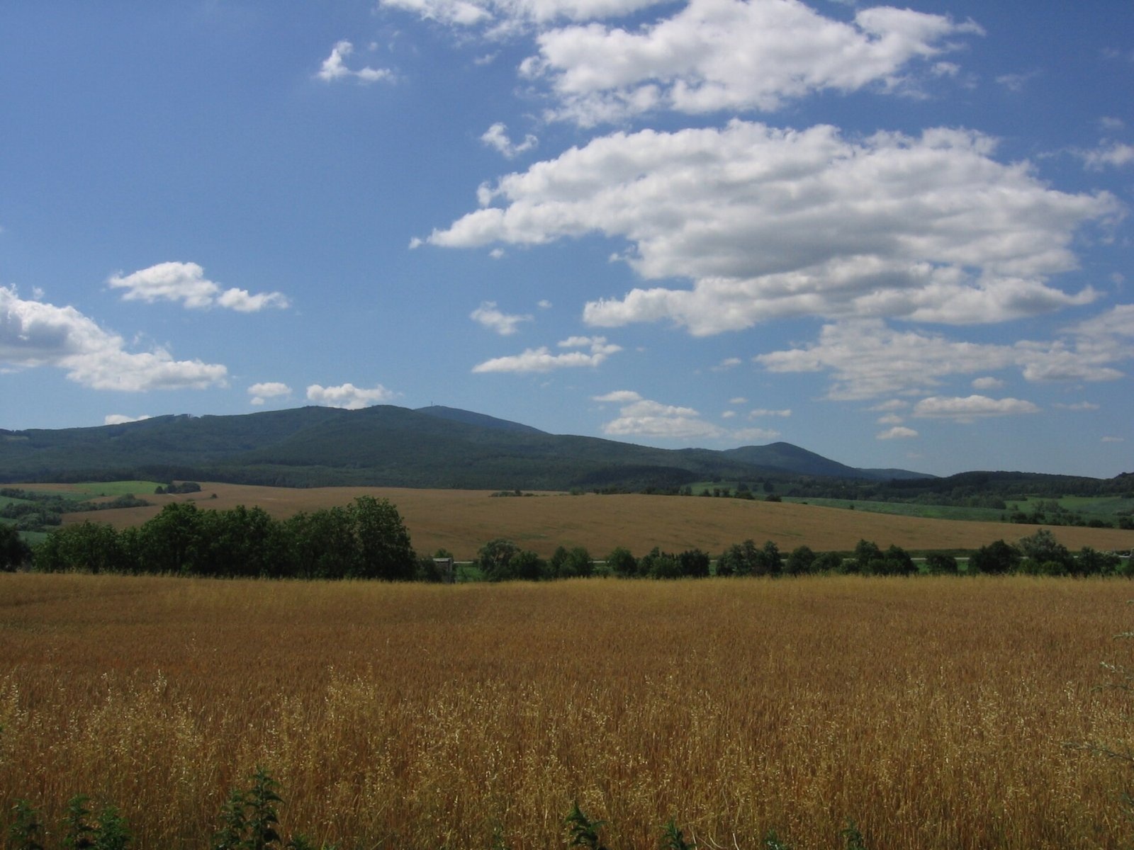
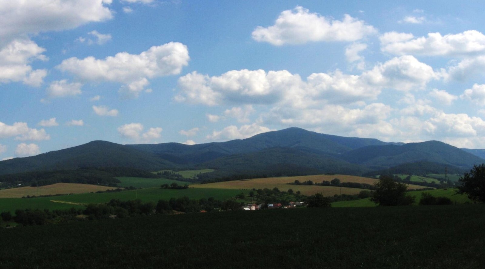
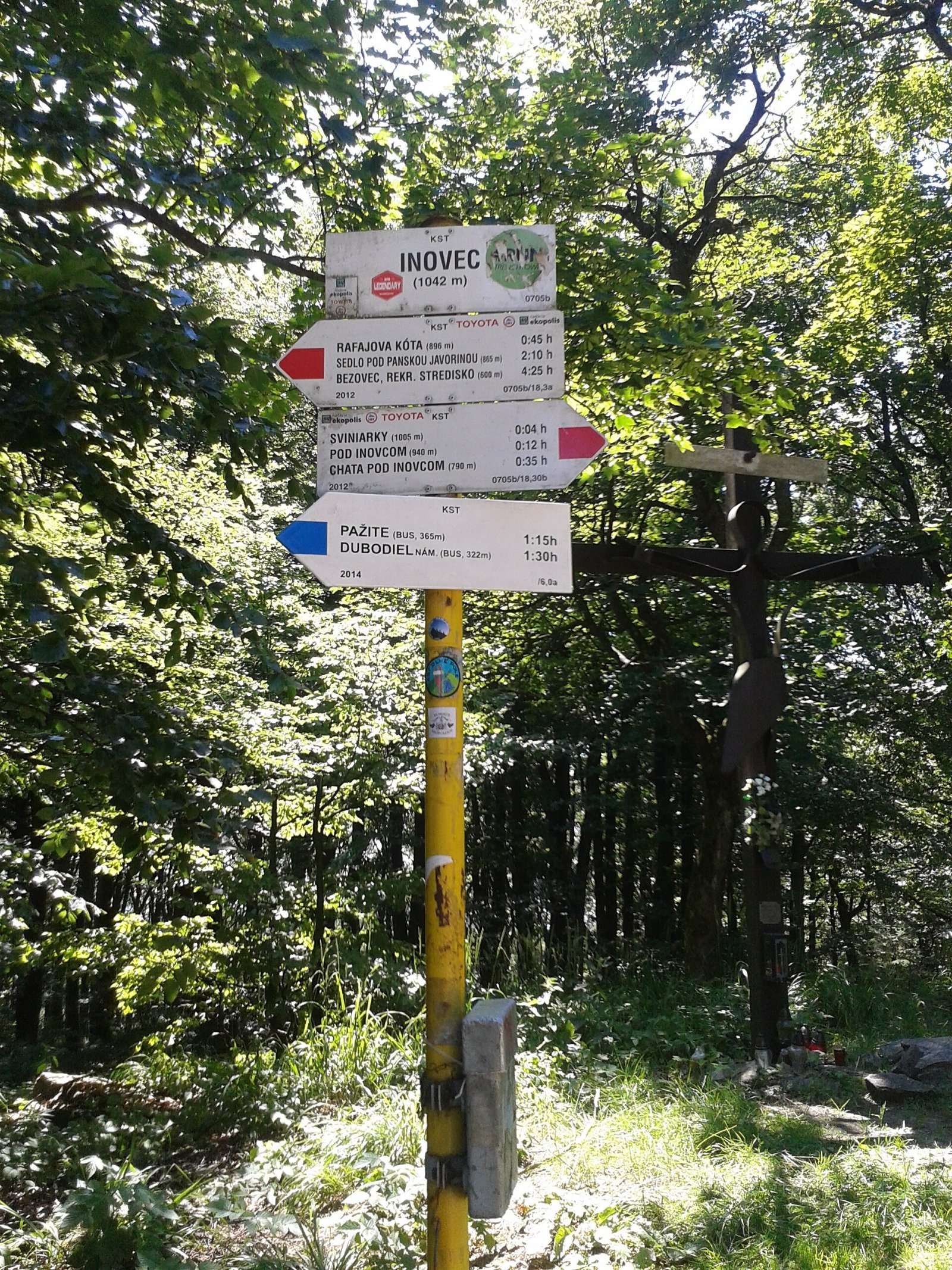
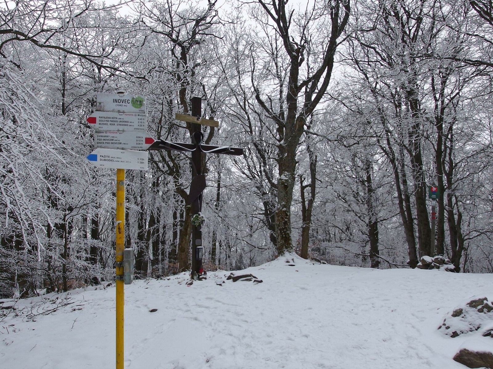
Inovec (Polish Inowiec) is the highest summit of the Považský Inovec range in western Slovakia, at 1,041 m (more precisely 1,041.6 m). It lies in the northern part of the range, in the Vysoký Inovec subunit, above the village of Selec, about 12 km south of Trenčín. Around it are Selec to the west, Dubodiel and Trenčianske Jastrabie to the east and Mníchova Lehota to the north. Inovec is a broad massif visible from afar and was once the highest point of the former West Slovak Region. According to Polish sources it is the westernmost summit of the whole Carpathians above 1,000 m.
How to get there / routes
Several marked trails lead to the summit, as well as a paved road used to reach the cottages and the military transmitter (do not count on driving to the top; plan on walking).
- Red along the main ridge: from the north from Mníchova Lehota railway station past Chata pod Inovcom and Jastrabské sedlo; from the south via Krželnica (968 m) from Panská Javorina.
- Blue: from the east from the village of Dubodiel.
- Green: from the village of Selec via the Pod Inovcom junction, or from Mníchova Lehota station.
On the north-eastern slopes, at about 790 m, there is a small tourist centre with several cottages and a ski tow; the best known is Chata pod Inovcom.
What you can see from the summit
The top itself is covered by continuous forest, so there is no view without the tower. Since the mid-2010s a 21 m steel tower called “Helena” has stood here, with a viewing platform at 16 m offering a 360° panorama. You can see the Považský Inovec, the Strážov Mountains, the Lesser and Greater Fatra, Vršatec and Veľký Lopeník in the White Carpathians, and towns such as Nové Mesto nad Váhom, Trenčín and Topoľčany. In exceptional visibility observers have spotted the Western Tatras, Babia Góra, Veľká Rača, Praděd in the Jeseníky, Králický Sněžník and even the Schneeberg in the Austrian Alps and Hungary’s Börzsöny hills.
Nature and history
The mountain is built of crystalline schists — mainly mica schist and gneiss. To the north a saddle separates it from Jarabský vrch (795 m), to the south from Krželnica. Steep, massive western slopes drop into the Selec basin, while gentler eastern slopes descend to the Bánovce Upland. Water from the western and northern slopes flows to the Váh, and from the east via the Svinica and Inovec brooks to the Bebrava.
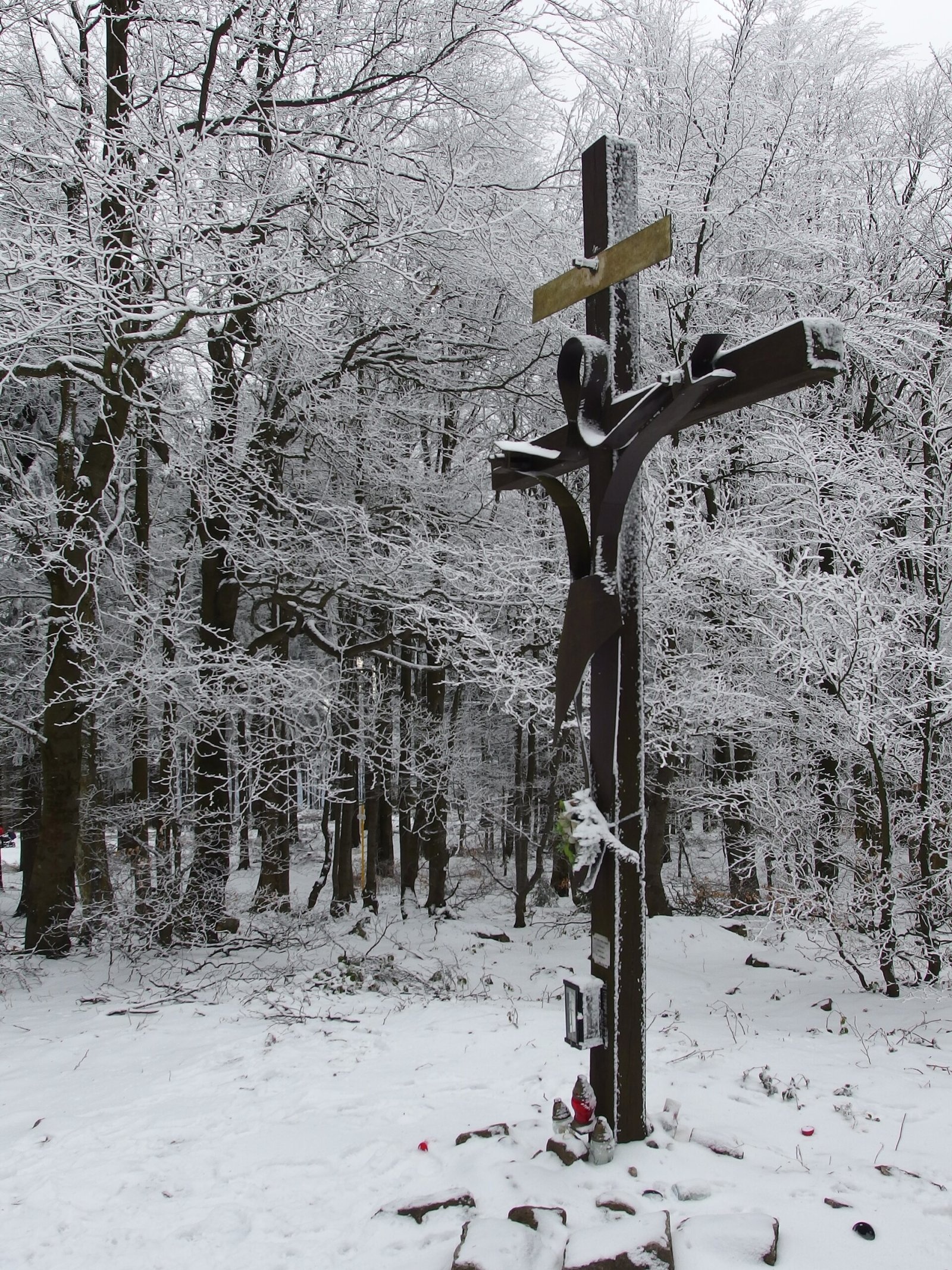
Snow lies on the summit for about 80 days a year. The south-western part of the top is taken up by the Považský Inovec nature reserve with well-preserved natural beech forest. The ridge is partly deforested, and besides natural mixed forest there are spruce plantations; the woods at the foot are popular with mushroom pickers. The summit has telecommunication transmitters, a signpost, a shelter and two wooden crosses.
Safety, season and rules
The routes to Inovec are easy and usable all year, but in winter the ridge is snowy and in fog it is easy to lose the path in the forest. Do not enter the fenced transmitter area and respect the reserve boundaries. Slovak Mountain Rescue (HZS): 18 300 (+421 18 300); emergency number 112.
Interesting facts
- Inovec has a large prominence of about 690 m, so it is visible from the whole Váh valley.
- The “Helena” tower serves not only as a lookout but also carries meteorological instruments.
Photos: Pelex, CC BY-SA 3.0; Pelex, CC BY 3.0; Pistal, CC BY-SA 4.0; Michal Jakubský, CC BY 3.0; Michal Jakubský, CC BY 3.0; Erika Gašparová, CC BY 3.0; Michal Jakubský, CC BY 3.0 — Wikimedia Commons.
Getting there from Ukraine
Border crossings
- Uzhhorod – Vyšné Nemecké — road, 24/7
- Malyi Bereznyi – Ubľa — road, 24/7 For cars and buses; pedestrians not confirmed by the Ukrainian border service, lorries up to 3.5 t.
- Mali Selmentsi – Veľké Slemence (pedestrian) — pedestrian, 09:00–21:00 Kyiv time Pedestrians and cyclists only; inconvenient for the Tatras without onward transport.
- Chop – Čierna nad Tisou (rail) — rail, 24/7
By car
From Uzhhorod to Žilina ≈330 km, ≈4 h 20 min without queues: Uzhhorod – Vyšné Nemecké → I/19 to Košice → D1 via Prešov, Poprad, Liptovský Mikuláš and Ružomberok (≈17 km on I/18 between D1 sections) → Žilina. To Terchová ≈314 km, ≈4 h 15 min: from the D1 onto I/70 and II/583. From Lviv through Poland: M-10 → Krakovets – Korczowa → A4 to Kraków → S7/DK7 to Chyżne – Trstená → R3, I/59 to Dolný Kubín → II/583 via Terchová to Žilina: to Terchová ≈493 km (≈6 h 30 min), to Žilina ≈518 km (≈7 h). Via the tolled A4 Kraków – Katowice, S1 and D3: ≈533 km, ≈6 h 35 min. The D1 requires an e-vignette (eznamka.sk).
Checked 23.10.2026; border crossing hours and timetables change — check before you travel.
Location on the map
Water and shelter nearby
- Spring below Krželnica720 m · Not verified · 974 m
- Spring below Inovec740 m · Not verified · 884 m
- Spring below Hradisko (east slope), 636 m1.2 km · Not verified · 636 m
- Inovecká Hut1.2 km · Standing · 790 m
- Spring below Hradisko (east slope), 574 m1.5 km · Not verified · 574 m
- Mineral Spring in Vlčie Jamy2.3 km · Not verified · 533 m
- Válovy, 702 m2.4 km · Not verified · 702 m
- Spring below Jarabský vrch2.4 km · Not verified · 706 m
Comments
Trails nearby
All trails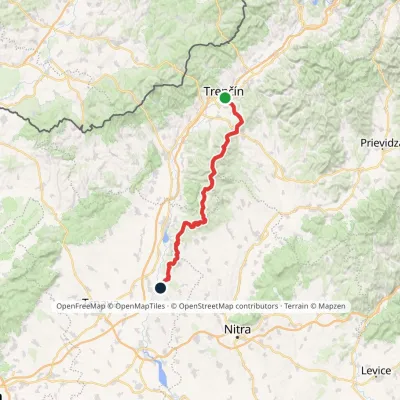 HardMulti-dayMarkedHlohovec Trenčín, Hotel ElizabethElevation profile145–1 041 m81.8 kmascent 2 463 munder 1 km from Inovec
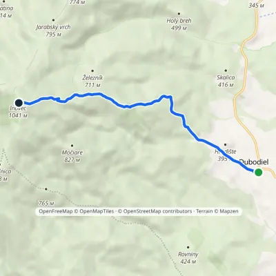 EasyOne-dayMarkedDubodiel námestie InovecElevation profile324–1 041 m6 kmascent 717 m≈ 3 h walkingunder 1 km from Inovec
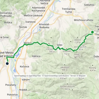 HardTwo-dayMarkedNové Mesto nad Váhom Mníchova Lehota, stopElevation profile173–958 m28.4 kmascent 877 m≈ 9 h walkingunder 1 km from Inovec
Nearby attractions
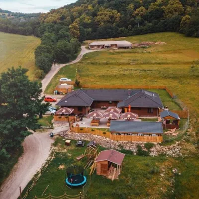 Cheese dairies & pasturesSalaš Beckov: 100% sheep’s cheese and bryndza dumplingsBeckov10 km from InovecA sheep salaš beside one of the Váh valley’s finest castles Beckov is a village in the Váh valley between Nové Mesto nad Váhom and Trenčín, overlooked by the ruins of...
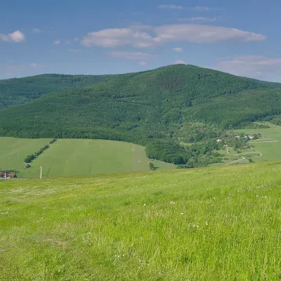 PeakVeľký LopeníkNová Bošácaaltitude 911 m25 km from InovecVeľký Lopeník (Czech Velký Lopeník) is a distinctive 911 m summit of the White Carpathians (911.3 m according to Slovak data) on the border between Slovakia and Czechia.
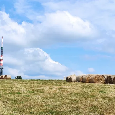 Mountain meadowThe meadows of Veľká Javorina, the highest peak of the White CarpathiansLubinaaltitude 970 m28 km from InovecVeľká Javorina (Czech Velká Javořina, 969.8 m) is the highest mountain of the White Carpathians (Biele Karpaty) on the Slovak–Czech border, about 8 km north of the...
Craft nearby
All craft places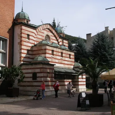 Water parks & thermal poolsTrenčianske Teplice: the Hammam and sulphur thermal bathsTrenčianske Teplice18 km from InovecTrenčianske Teplice is one of Slovakia's oldest spas, squeezed into a narrow wooded valley of the Strážov Mountains not far from Trenčín.
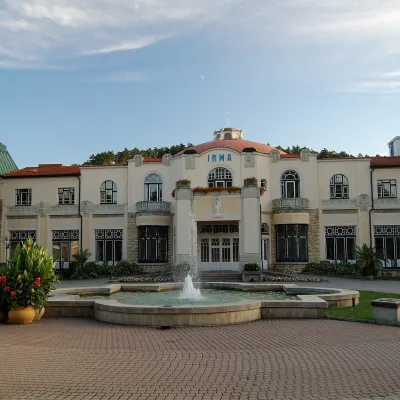 Water parks & thermal poolsPiešťany: the Spa Island, sulphur mud and thermal bathsPiešťany26 km from InovecPiešťany is Slovakia's best-known spa, spread out in the Váh valley between the Považský Inovec and the Little Carpathians.
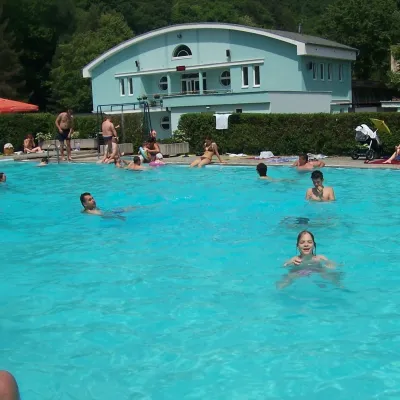 Water parks & thermal poolsChalmová Thermal Pool near PrievidzaBystričany35 km from InovecChalmová Thermal Pool (Termálne kúpalisko Chalmová) is a public pool complex in the village of Chalmová, part of the municipality of Bystričany, about 14 km south of...
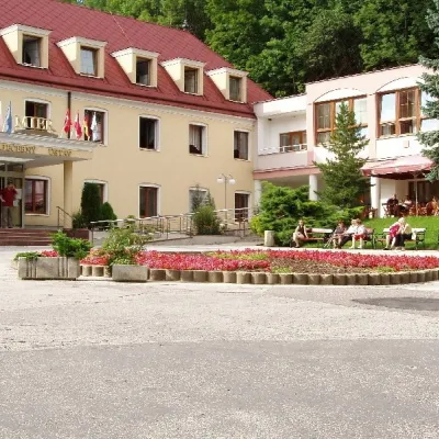 Water parks & thermal poolsBojnice Spa: thermal springs, pools and treatmentsBojnice39 km from InovecBojnice Spa (Kúpele Bojnice) lies on the edge of the town of Bojnice, about 3 km from Prievidza, in the Upper Nitra basin – at the eastern foot of the Malá Magura...
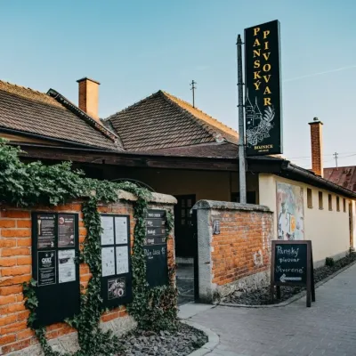 Craft beer & breweriesPanský pivovar Bojnice: unfiltered craft beer below the castleBojnice40 km from InovecBojnice is a spa town in the upper Nitra valley at the foot of the Strážov Hills, famous for the fairy-tale castle of the Pálffy family.
 Cheese dairies & pasturesSalaš Pružina: 100% sheep’s bryndza in the Strážov HillsPružina42 km from InovecPružina is a village in a picturesque valley of the Strážov Hills (Strážovské vrchy) west of Považská Bystrica.
