Selec
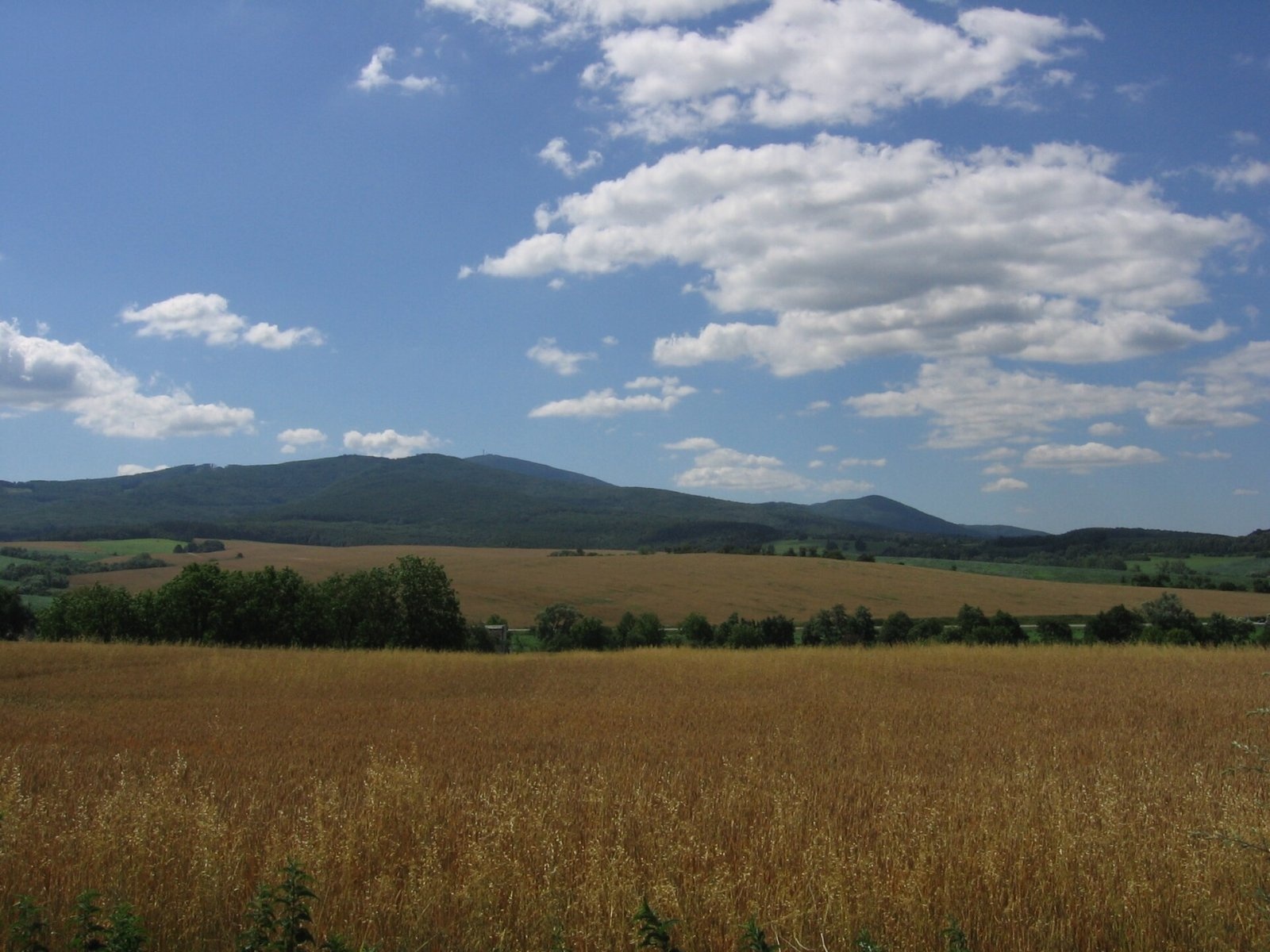
Photos: Inovec
Selec is a village in Slovakia.
Elevation: about 319 m above sea level. Population: 1,010 (2025).
Here and nearby on the site: 1 peak.
Facts: Wikidata, OpenStreetMap. More on Wikipedia
Trails nearby
All trails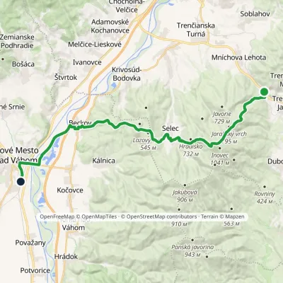 HardTwo-dayMarkedNové Mesto nad Váhom Mníchova Lehota, stopElevation profile173–958 m28.4 kmascent 877 m≈ 9 h walkingunder 1 km from the centre
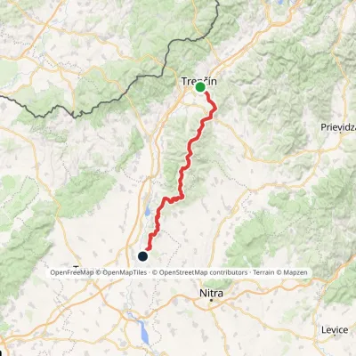 HardMulti-dayMarkedHlohovec Trenčín, Hotel ElizabethElevation profile145–1 041 m81.8 kmascent 2 463 m3.6 km from the centre
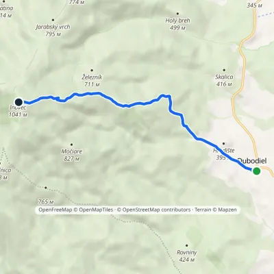 EasyOne-dayMarkedDubodiel námestie InovecElevation profile324–1 041 m6 kmascent 717 m≈ 3 h walking4 km from the centre
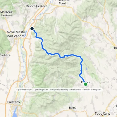 HardMulti-dayMarkedChodník Štefana PetrovičaElevation profile192–943 m32.1 kmascent 930 m≈ 10 h walking4.9 km from the centre
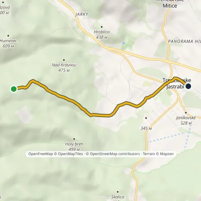 EasyOne-dayMarkedTrenčianske Jastrabie Above Krásna ValleyElevation profile283–601 m4.5 kmascent 9 m≈ 1 h walking5.9 km from the centre
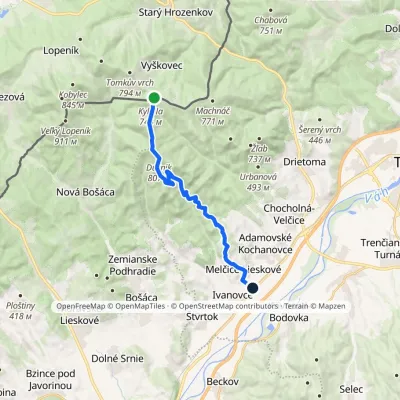 ModerateOne-dayMarkedMelčice Sedlo Kykula, state borderElevation profile197–817 m16 kmascent 224 m≈ 4.5 h walking7.7 km from the centre
Peaks nearby
All peaks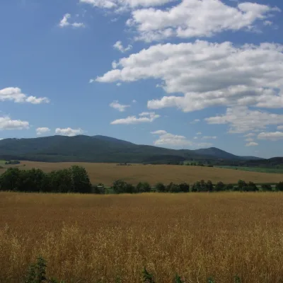 PeakInovecSelecaltitude 1 041 m3.9 km from the centreInovec (Polish Inowiec) is the highest summit of the Považský Inovec range in western Slovakia, at 1,041 m (more precisely 1,041.6 m).
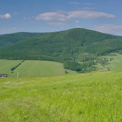 PeakVeľký LopeníkNová Bošácaaltitude 911 m21 km from the centreVeľký Lopeník (Czech Velký Lopeník) is a distinctive 911 m summit of the White Carpathians (911.3 m according to Slovak data) on the border between Slovakia and Czechia.
What to visit
All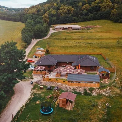 Cheese dairies & pasturesSalaš Beckov: 100% sheep’s cheese and bryndza dumplingsBeckov6.9 km from the centreA sheep salaš beside one of the Váh valley’s finest castles Beckov is a village in the Váh valley between Nové Mesto nad Váhom and Trenčín, overlooked by the ruins of...
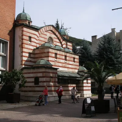 Water parks & thermal poolsTrenčianske Teplice: the Hammam and sulphur thermal bathsTrenčianske Teplice19 km from the centreTrenčianske Teplice is one of Slovakia's oldest spas, squeezed into a narrow wooded valley of the Strážov Mountains not far from Trenčín.
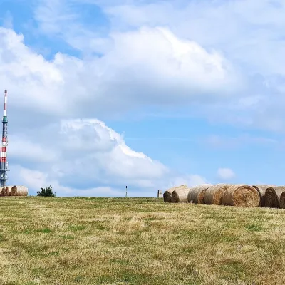 Mountain meadowThe meadows of Veľká Javorina, the highest peak of the White CarpathiansLubinaaltitude 970 m24 km from the centreVeľká Javorina (Czech Velká Javořina, 969.8 m) is the highest mountain of the White Carpathians (Biele Karpaty) on the Slovak–Czech border, about 8 km north of the...
Spas and thermal pools nearby
Water parks & thermal poolsTrenčianske Teplice: the Hammam and sulphur thermal bathsTrenčianske Teplice19 km from the centreTrenčianske Teplice is one of Slovakia's oldest spas, squeezed into a narrow wooded valley of the Strážov Mountains not far from Trenčín.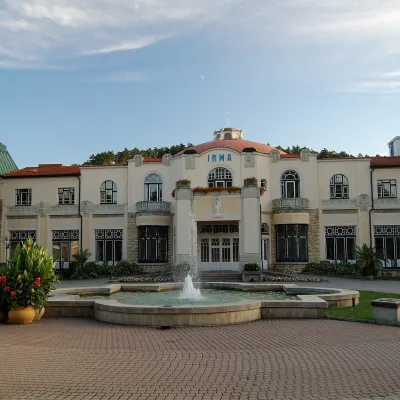 Water parks & thermal poolsPiešťany: the Spa Island, sulphur mud and thermal bathsPiešťany25 km from the centrePiešťany is Slovakia's best-known spa, spread out in the Váh valley between the Považský Inovec and the Little Carpathians.
Huts, shelters and springs nearby
Getting there from Ukraine
Border crossings
- Uzhhorod – Vyšné Nemecké — road, 24/7
- Malyi Bereznyi – Ubľa — road, 24/7 For cars and buses; pedestrians not confirmed by the Ukrainian border service, lorries up to 3.5 t.
- Mali Selmentsi – Veľké Slemence (pedestrian) — pedestrian, 09:00–21:00 Kyiv time Pedestrians and cyclists only; inconvenient for the Tatras without onward transport.
- Chop – Čierna nad Tisou (rail) — rail, 24/7
By car
From Uzhhorod to Žilina ≈330 km, ≈4 h 20 min without queues: Uzhhorod – Vyšné Nemecké → I/19 to Košice → D1 via Prešov, Poprad, Liptovský Mikuláš and Ružomberok (≈17 km on I/18 between D1 sections) → Žilina. To Terchová ≈314 km, ≈4 h 15 min: from the D1 onto I/70 and II/583. From Lviv through Poland: M-10 → Krakovets – Korczowa → A4 to Kraków → S7/DK7 to Chyżne – Trstená → R3, I/59 to Dolný Kubín → II/583 via Terchová to Žilina: to Terchová ≈493 km (≈6 h 30 min), to Žilina ≈518 km (≈7 h). Via the tolled A4 Kraków – Katowice, S1 and D3: ≈533 km, ≈6 h 35 min. The D1 requires an e-vignette (eznamka.sk).
Checked 23.10.2026; border crossing hours and timetables change — check before you travel.
