Stanov Trail (Short Family Route)
Trail map
Route, springs and shelters: © OpenStreetMap contributors (ODbL) · elevation: Copernicus DEM © DLR e.V., © Airbus DS · Data & licences
About the trail
Route Stanov Trail (Short Family Route). Has grey marking (local route №IVV3, KST). Waymarking data: OpenStreetMap (© OpenStreetMap contributors, ODbL).
Officially marked local tourist route No. IVV3. Marked and maintained by: KST. Length of the route — 14.8 km, the route is circular. Location: mountain range — Strážovské hory, Slovakia.
At a glance
A one-day loop route of 14.8 km with 238 m of ascent. Estimated walking time: about 4 h, not counting stops. Difficulty: moderate.
Route stages
- 0–12 kmGentle ups and downs at 210–380 m
- 12–15 kmClimb of 130 m (up to 341 m)
Steepest kilometre: km 13–14, a climb of 100 m (≈10%).
Water and overnight stays
Springs near the trail: at km 6, 7, 8, 12, 13 and 14. Some springs run low or dry up in late summer.
When to go
The route can be walked most of the year; it is most comfortable from April to October.
Getting there
This is a loop: it brings you back to the start.
FAQ
- How long does the route take?
- Estimated walking time: about 4 h, not counting stops.
- Is there water on the route?
- Springs near the trail: at km 6, 7, 8, 12, 13 and 14. Some springs run low or dry up in late summer.
Water and shelter on the route
- Spring below Pavlov vrchkm 6.1 from the start · 220 m off the path · Not verified · 297 m
- Spring below Nemcov vrch (south slope)km 7.2 from the start · 90 m off the path · Not verified · 285 m
- Kubranská Mineral Springkm 8.4 from the start · Not verified · 244 m
- Drinking water below Kozí vrch (north slope), 210 mkm 12.2 from the start · 70 m off the path · Not verified · 210 m
- Well of Lovekm 12.8 from the start · 70 m off the path · Not verified · 226 m
- Drinking water below Kozí vrch (north-west slope), 217 m (2)km 13.2 from the start · 110 m off the path · Has water · 217 m
- Spring below Kozí vrchkm 14.4 from the start · 130 m off the path · Not verified · 293 m
Comments
Trails nearby
All trails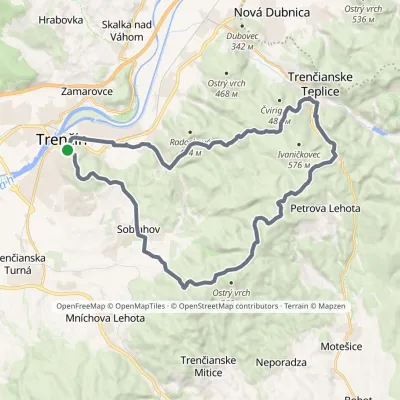 HardMulti-dayMarkedVladov Trail (marathon route)Elevation profile212–701 m33 kmascent 1 109 m≈ 10.5 h walking
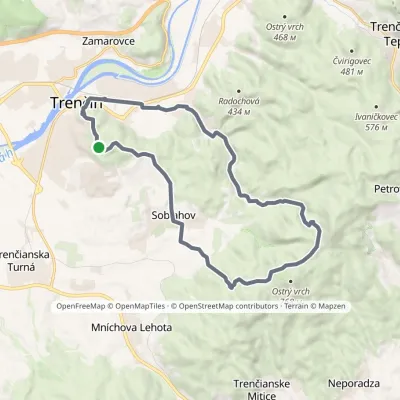 ModerateTwo-dayMarkedJanov Trail (long family route)Elevation profile212–633 m22.7 kmascent 553 m≈ 7 h walking
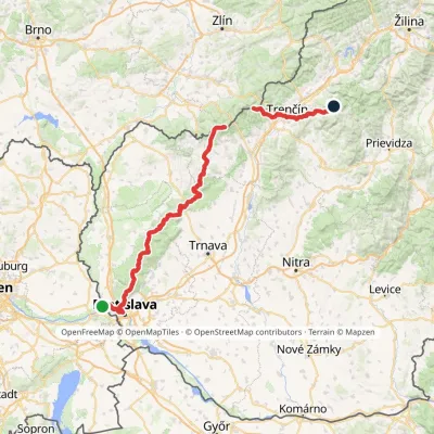 HardMulti-dayMarkedHrad Devín, parking Horná Poruba, U BrdárovElevation profile146–965 m190.1 kmascent 7 200 m
Craft nearby
All craft places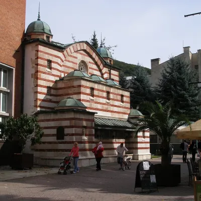 Water parks & thermal poolsTrenčianske Teplice: the Hammam and sulphur thermal bathsTrenčianske Teplice9.6 km from the trailTrenčianske Teplice is one of Slovakia's oldest spas, squeezed into a narrow wooded valley of the Strážov Mountains not far from Trenčín.
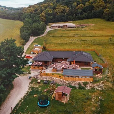 Cheese dairies & pasturesSalaš Beckov: 100% sheep’s cheese and bryndza dumplingsBeckov17 km from the trailA sheep salaš beside one of the Váh valley’s finest castles Beckov is a village in the Váh valley between Nové Mesto nad Váhom and Trenčín, overlooked by the ruins of...
 Cheese dairies & pasturesSalaš Pružina: 100% sheep’s bryndza in the Strážov HillsPružina35 km from the trailPružina is a village in a picturesque valley of the Strážov Hills (Strážovské vrchy) west of Považská Bystrica.
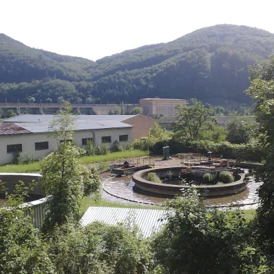 Water parks & thermal poolsNimnica: a mineral-water spa above the Nosice reservoirNimnica36 km from the trailNimnica is one of Slovakia's youngest spas, in the Váh valley between Púchov and Považská Bystrica. Its spa houses stand at about 300 m on a wooded spur of the...
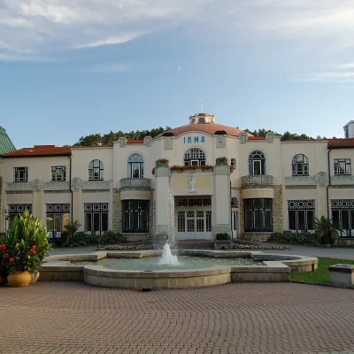 Water parks & thermal poolsPiešťany: the Spa Island, sulphur mud and thermal bathsPiešťany36 km from the trailPiešťany is Slovakia's best-known spa, spread out in the Váh valley between the Považský Inovec and the Little Carpathians.
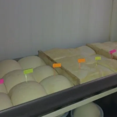 Cheese dairies & pasturesSalaš Orlové near Považská Bystrica: cheese, bryndza, žinčicaPovažská Bystrica40 km from the trailOrlové is a part of the town of Považská Bystrica on the left bank of the Váh, at the foot of hills that rise into the Strážov Hills.
