Rokoš
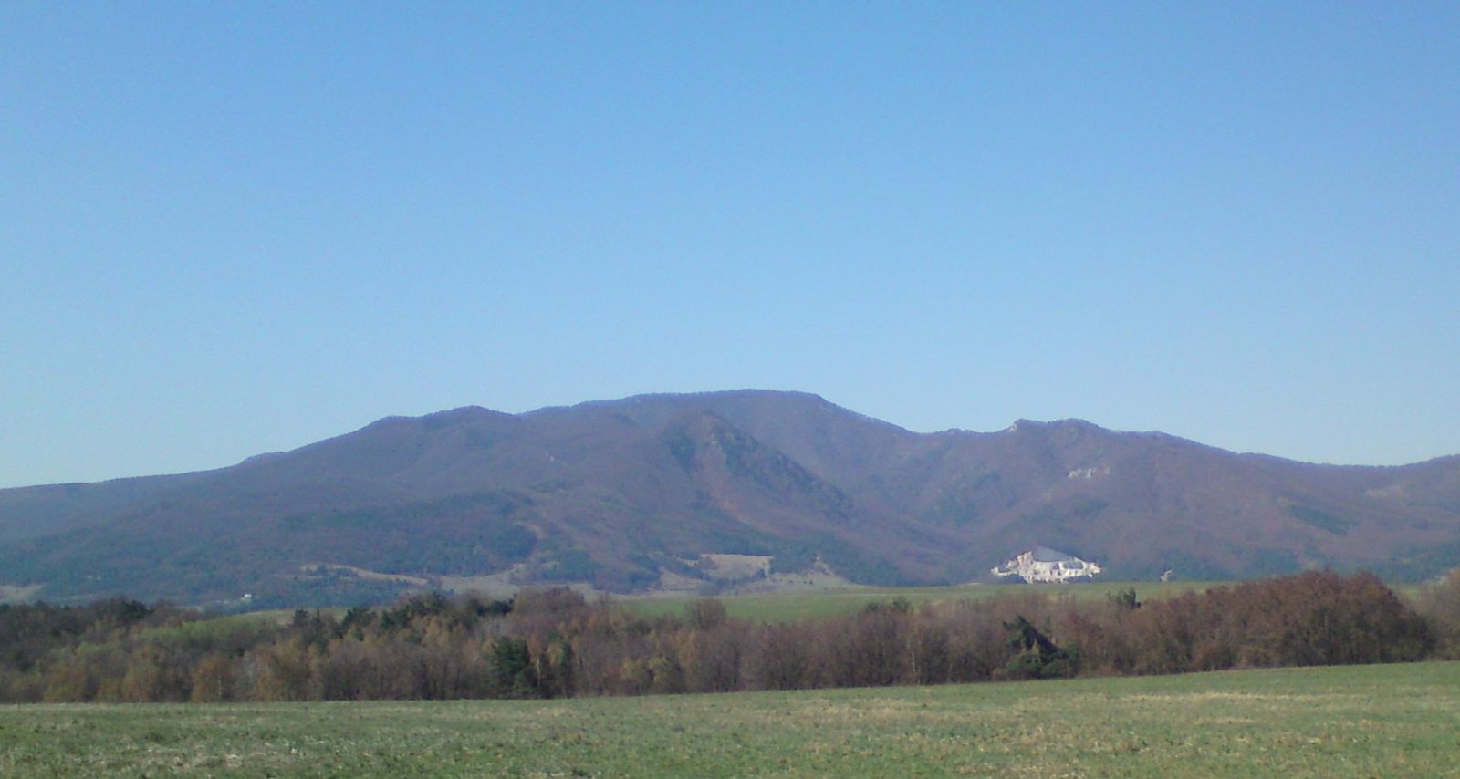
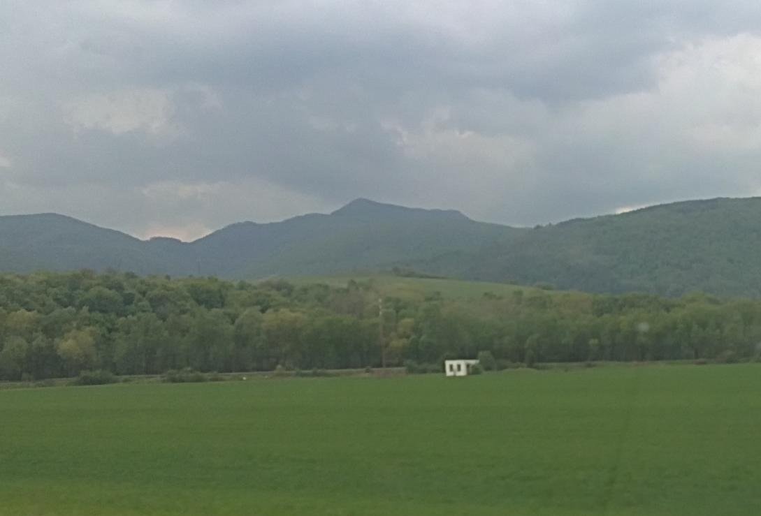
Rokoš is a 1010 m mountain, the second-highest peak of the Nitrické vrchy, part of the Strážov Mountains (Strážovské vrchy) in western Slovakia. The Rokoš massif dominates the middle Nitrica valley from the west, between the villages of Nitrianske Rudno to the north and Diviacka Nová Ves to the south, about 8 km north-west of the town of Nováky. The summit lies on the border of the Prievidza and Bánovce nad Bebravou Districts in the Trenčín Region, where the cadastres of Nitrianske Rudno and Uhrovské Podhradie meet. The nearest villages are Omastiná (about 3 km), Uhrovské Podhradie, Nitrianske Rudno and Diviaky nad Nitricou (4–4.5 km each).
To the north the Rázdelie saddle (685 m) separates Rokoš from Suchý vrch (1028 m), the highest peak of the Nitrické vrchy; to the south the shallow Rokoš saddle (945 m) divides it from Malý Rokoš (953 m) and the rest of the ridge, which drops in several spurs towards the Nitrica and Nitra valleys. The massive ridge rises above the northern edge of the Danubian Hills, so the mountain stands about 700 m above the surrounding lowlands. Even so, Rokoš is counted among the most easily reached "thousanders" of western Slovakia.
How to get there / routes
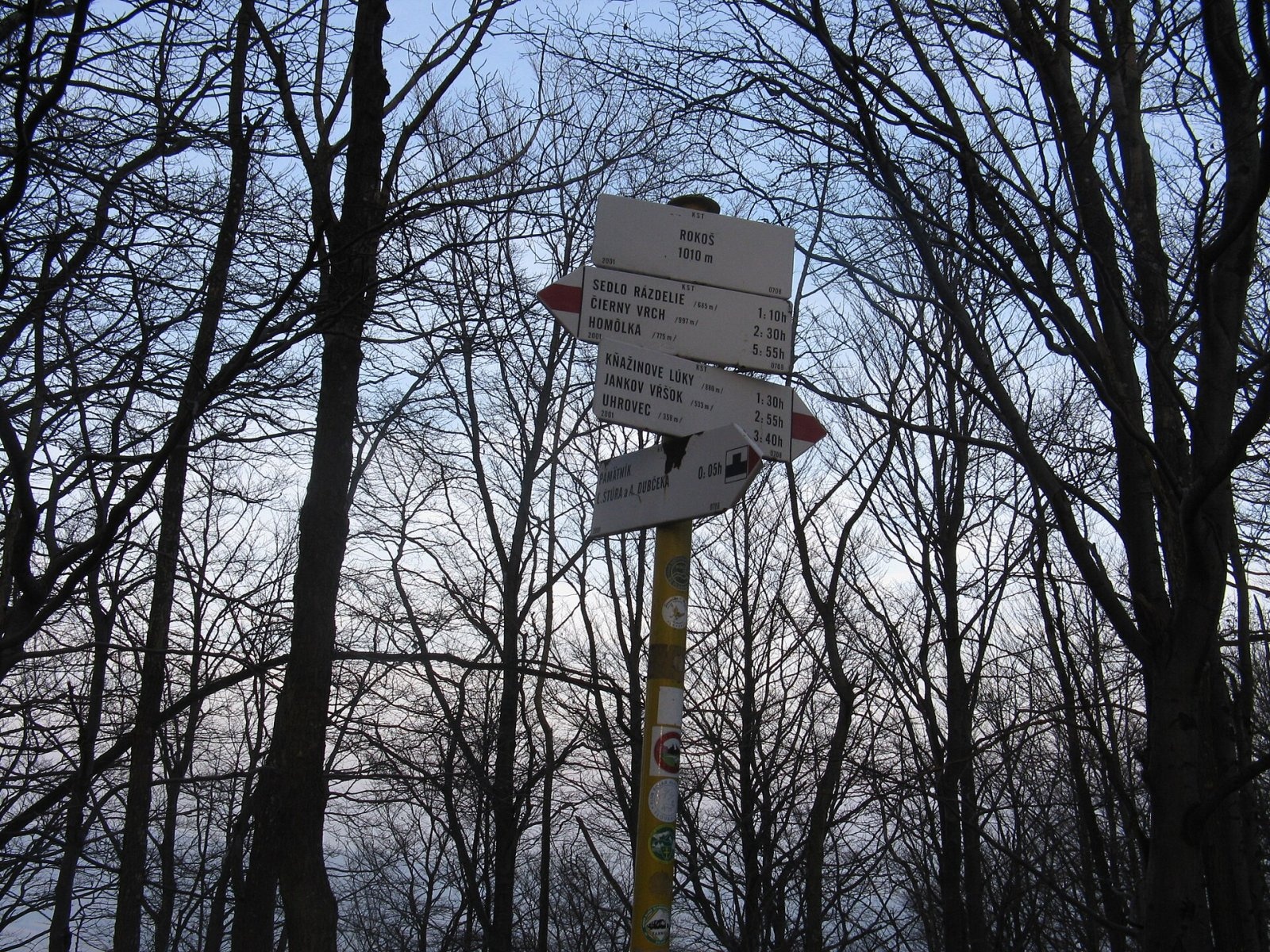
- Red trail – the Ľudovít Štúr and Alexander Dubček Trail: from Uhrovec via the Rokoš saddle to the summit and on via Košútova skala to Suchý vrch. According to the Polish Wikipedia, the walk from Uhrovec takes about 4 h 15 min, and on to Suchý vrch about 3 h 30 min. A short spur leads to a viewpoint meadow on the south-western shoulder.
- Marked trails to the Rokoš saddle – from Uhrovské Podhradie in the west and from Diviacka Nová Ves in the east.
- From the east – marked trails from Diviaky nad Nitricou (Ješkova Ves), Nitrianske Rudno and Omastiná.
What you can see from the top
The summit itself is covered with mixed forest, so there is hardly any view from it. Smaller spots with sparser vegetation, especially the meadows on the rocky western shoulder, offer distant views to the west and south. Besides the nearby basins you can see Vtáčnik and the neighbouring parts of the Strážov Mountains, Považský Inovec and Tribeč, and on exceptionally clear days Pohronský Inovec, the Kremnica Mountains, the Low Tatras, the Greater and Lesser Fatra and the White Carpathians.
Nature and history
The massif consists of thick beds of Middle Triassic dolomites with limestone layers of the Choč nappe, resting on marly rocks of the Križná nappe; Jurassic and Lower Cretaceous rocks appear on the eastern slopes. The massif is deeply cut by valleys separated by high ridges with rock walls and fanciful pinnacles. Karst features are few – a handful of short caves, under 50 m long. Because of the permeable carbonate bedrock, the upper parts of most valleys are dry or carry water only in spring and after heavy rain.
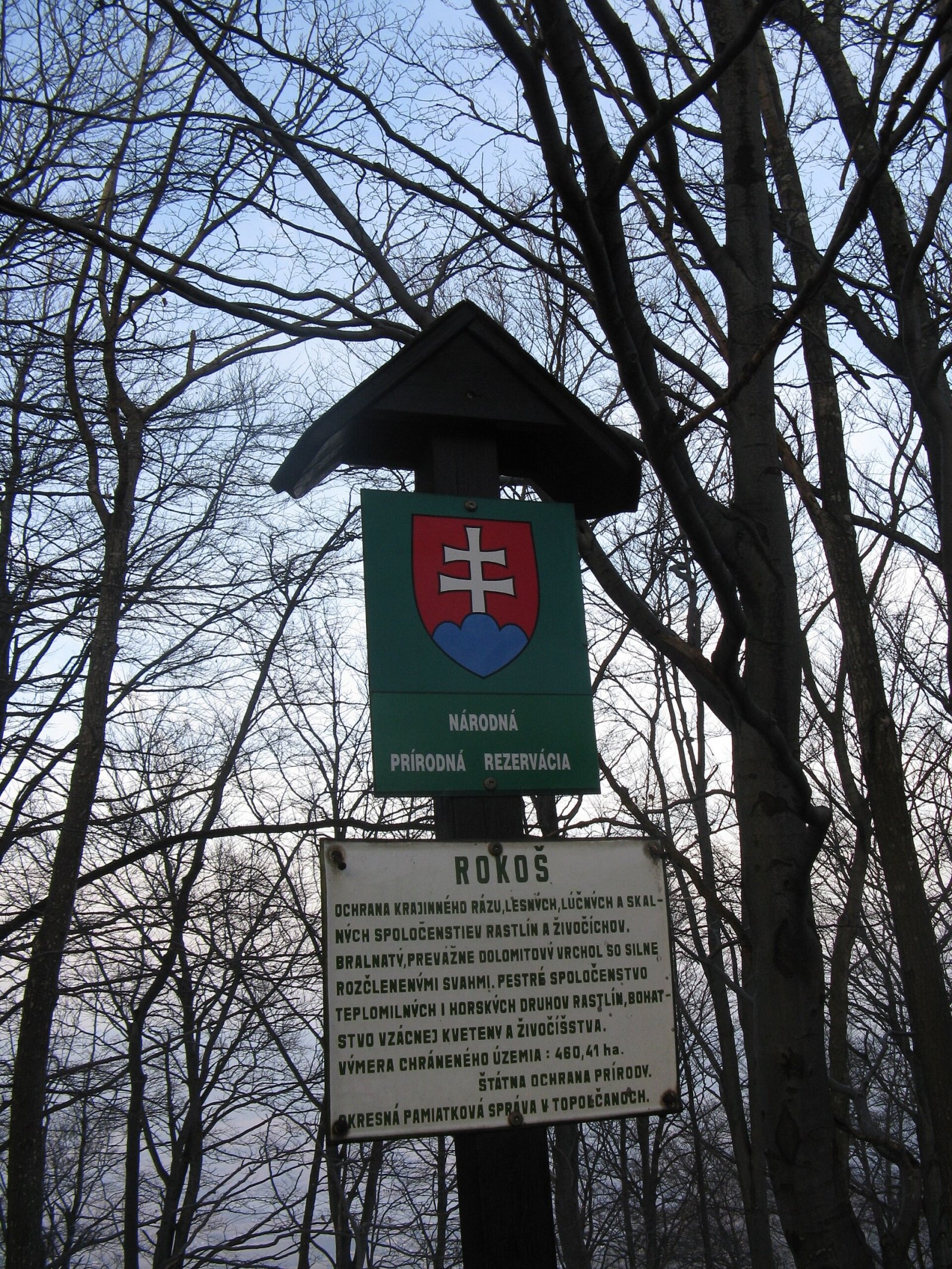
The whole massif is forested, mostly with beech. The downy oak grows here at the northern limit of its range, and its sites below the summit of Rokoš are the highest in Slovakia. Scots pine grows on rock ledges and ridges, and the western shoulder has warm-loving rocky grasslands. The summit and a large part of the massif belong to the Rokoš national nature reserve.
On the viewpoint meadow about 30 m below the summit stands a modest memorial to Ľudovít Štúr and Alexander Dubček, both born in nearby Uhrovec. Local people set it up in 1968; after the Prague Spring was crushed, the plaque was destroyed by "unknown perpetrators", and in 1996 the people of Uhrovec put up a new one.
Safety, season and rules
Rokoš is visited all year. The paths are steep and stony in places, dolomite is slippery after rain, and the rocky shoulders have drops – watch children. In summer the valleys of the massif are often dry, so carry water. In the reserve stay on marked trails and do not pick plants. Slovak Mountain Rescue Service (HZS): 18 300 (+421 18 300); general emergency number 112.
Interesting facts
- The red trail over the summit is named after Ľudovít Štúr and Alexander Dubček, two natives of Uhrovec.
- Below the summit of Rokoš are the highest downy oak sites in Slovakia.
- In the Nitrické vrchy only Suchý vrch (1028 m) is higher than Rokoš.
Photos: Pe3kZA, CC BY-SA 3.0; Pe3kZA, CC BY-SA 3.0; Milan Nobonn, CC BY 3.0; Milan Nobonn, CC BY 3.0 — Wikimedia Commons.
Getting there from Ukraine
Border crossings
- Uzhhorod – Vyšné Nemecké — road, 24/7
- Malyi Bereznyi – Ubľa — road, 24/7 For cars and buses; pedestrians not confirmed by the Ukrainian border service, lorries up to 3.5 t.
- Mali Selmentsi – Veľké Slemence (pedestrian) — pedestrian, 09:00–21:00 Kyiv time Pedestrians and cyclists only; inconvenient for the Tatras without onward transport.
- Chop – Čierna nad Tisou (rail) — rail, 24/7
By car
From Uzhhorod to Žilina ≈330 km, ≈4 h 20 min without queues: Uzhhorod – Vyšné Nemecké → I/19 to Košice → D1 via Prešov, Poprad, Liptovský Mikuláš and Ružomberok (≈17 km on I/18 between D1 sections) → Žilina. To Terchová ≈314 km, ≈4 h 15 min: from the D1 onto I/70 and II/583. From Lviv through Poland: M-10 → Krakovets – Korczowa → A4 to Kraków → S7/DK7 to Chyżne – Trstená → R3, I/59 to Dolný Kubín → II/583 via Terchová to Žilina: to Terchová ≈493 km (≈6 h 30 min), to Žilina ≈518 km (≈7 h). Via the tolled A4 Kraków – Katowice, S1 and D3: ≈533 km, ≈6 h 35 min. The D1 requires an e-vignette (eznamka.sk).
Checked 23.10.2026; border crossing hours and timetables change — check before you travel.
Location on the map
Water and shelter nearby
- Spring below Predný Rokoš (west slope)1.5 km · Not verified · 521 m
- Spring below Predný Rokoš (north-west slope)1.7 km · Not verified · 501 m
- Sučianska studnička Spring1.9 km · Not verified · 641 m
- Spring below Malý Rokoš1.9 km · Not verified · 581 m
- Spring below Predný Rokoš (east slope)2.6 km · Not verified · 478 m
- Omastiná Hut2.8 km · Not verified · 440 m
- Drinking water below Dolný les2.8 km · Not verified · 456 m
- Madvova Spring2.9 km · Not verified · 374 m
Comments
Trails nearby
All trails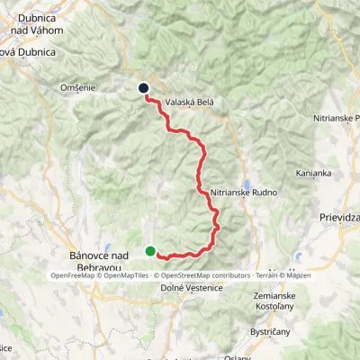 HardMulti-dayMarkedAlexander Dubček TrailElevation profile243–1 029 m33.8 kmascent 1 956 m≈ 12.5 h walkingunder 1 km from Rokoš
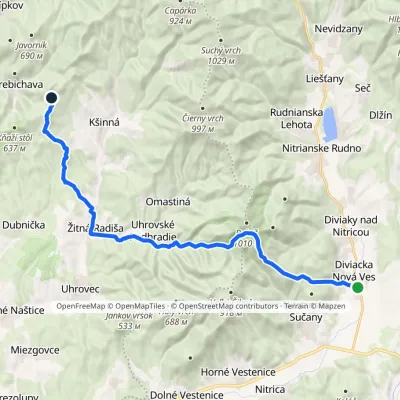 HardTwo-dayMarkedDiviacka Nová Ves VozoreElevation profile265–964 m21.3 kmascent 1 033 m≈ 7.5 h walkingunder 1 km from Rokoš
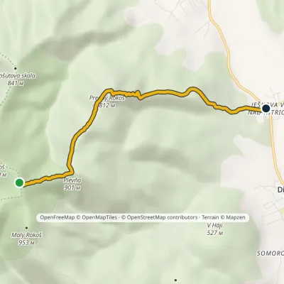 EasyOne-dayMarkedJeškova Ves nad Nitricou Sedlo RokošElevation profile299–969 m5.2 kmascent 67 m≈ 1.5 h walkingunder 1 km from Rokoš
Nearby attractions
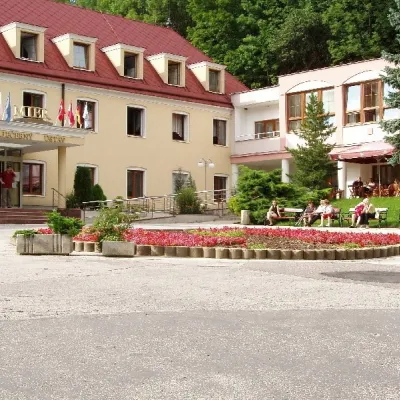 Water parks & thermal poolsBojnice Spa: thermal springs, pools and treatmentsBojnice10 km from RokošBojnice Spa (Kúpele Bojnice) lies on the edge of the town of Bojnice, about 3 km from Prievidza, in the Upper Nitra basin – at the eastern foot of the Malá Magura...
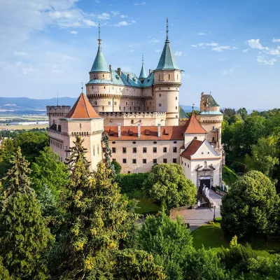 MuseumBojnice Castle — Slovak National MuseumBojnice11 km from RokošBojnice Castle (Bojnický zámok) rises on a travertine mound above the spa town of Bojnice near Prievidza, in the upper Nitra valley.
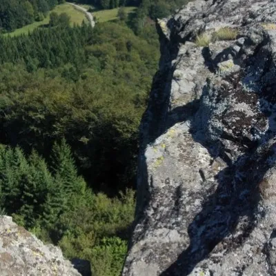 PeakBuchlov (Vtáčnik)Čereňanyaltitude 1 040 m20 km from RokošBuchlov is a prominent rocky peak, 1,040 m high, in the Vtáčnik mountains of central Slovakia. It should not be confused with the castle hill of the same name in the...
Craft nearby
All craft places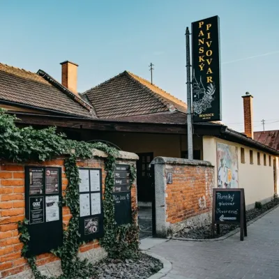 Craft beer & breweriesPanský pivovar Bojnice: unfiltered craft beer below the castleBojnice11 km from RokošBojnice is a spa town in the upper Nitra valley at the foot of the Strážov Hills, famous for the fairy-tale castle of the Pálffy family.
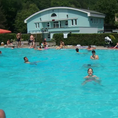 Water parks & thermal poolsChalmová Thermal Pool near PrievidzaBystričany12 km from RokošChalmová Thermal Pool (Termálne kúpalisko Chalmová) is a public pool complex in the village of Chalmová, part of the municipality of Bystričany, about 14 km south of...
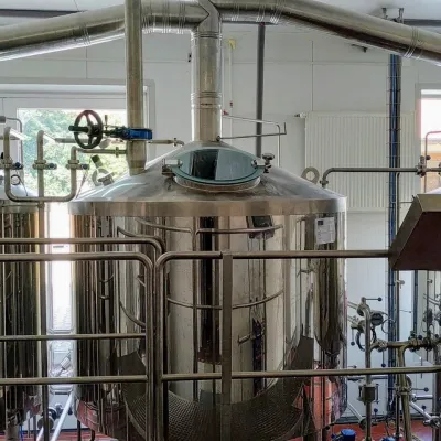 Craft beer & breweriesGalgenberg brewery in Nitrianske Pravno: tour and beer from the tankNitrianske Pravno18 km from RokošNitrianske Pravno is a large village at the northern end of the Upper Nitra basin, 12 km from Prievidza, where the river Nitra leaves the Malá Magura and Žiar hills.
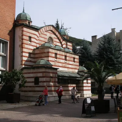 Water parks & thermal poolsTrenčianske Teplice: the Hammam and sulphur thermal bathsTrenčianske Teplice25 km from RokošTrenčianske Teplice is one of Slovakia's oldest spas, squeezed into a narrow wooded valley of the Strážov Mountains not far from Trenčín.
 Cheese dairies & pasturesSalaš Pružina: 100% sheep’s bryndza in the Strážov HillsPružina28 km from RokošPružina is a village in a picturesque valley of the Strážov Hills (Strážovské vrchy) west of Považská Bystrica.
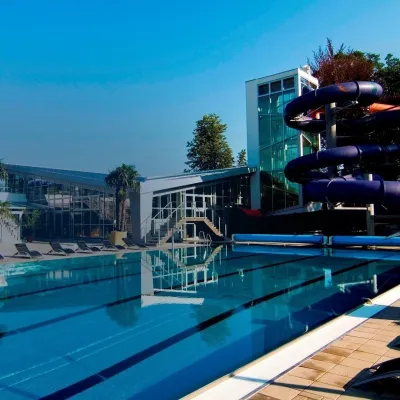 Water parks & thermal poolsSpa & Aquapark Turčianske TepliceTurčianske Teplice33 km from RokošTurčianske Teplice is one of Slovakia’s oldest spa towns. Its warm springs were first mentioned in 1281 in a deed of gift by King Ladislaus IV, and from 1533 they...
