Ješkova Ves nad Nitricou – Sedlo Rokoš
Trail map
Route, springs and shelters: © OpenStreetMap contributors (ODbL) · elevation: Copernicus DEM © DLR e.V., © Airbus DS · Data & licences
About the trail
Route Ješkova Ves nad Nitricou – Sedlo Rokoš. Has yellow marking (regional route №8416, KST). Waymarking data: OpenStreetMap (© OpenStreetMap contributors, ODbL).
Officially marked regional tourist route No. 8416. The marking is yellow, the sign is a horizontal stripe on a white background. Marked and maintained by: KST. Length of the route — 5.2 km. Location: mountain range — Strazhovske Mountains, Slovakia.
At a glance
A short route of 5.2 km with 67 m of ascent and 737 m of descent from Ješkova Ves nad Nitricou to Sedlo Rokoš. Estimated walking time: about 1.5 h, not counting stops. Difficulty: easy. Waymarking: yellow.
Route stages
- 0–5 kmDescent of 640 m to Sedlo Rokoš
Steepest kilometre: km 2.5–3.5, a descent of 220 m (≈22%), near Predný Rokoš.
Water and overnight stays
A spring near the trail: at km 3.5.
When to go
The route can be walked most of the year; it is most comfortable from April to October.
Getting there
Start: Ješkova Ves nad Nitricou. This is a one-way route: the finish is 4 km from the start in a straight line, so plan your way back in advance.
FAQ
- How long does the route take?
- Estimated walking time: about 1.5 h, not counting stops.
- Is there water on the route?
- A spring near the trail: at km 3.5.
Water and shelter on the route
- Spring below Predný Rokoš (east slope)km 3.4 from the start · 220 m off the path · Not verified · 478 m
Comments
Trails nearby
All trails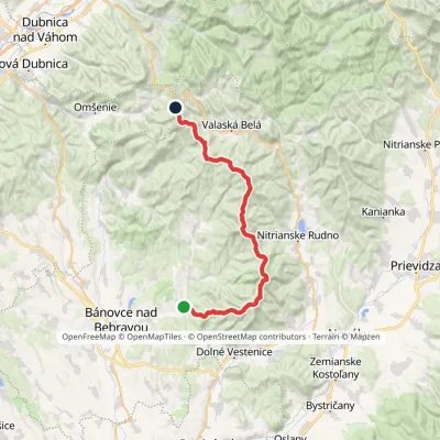 HardMulti-dayMarkedAlexander Dubček TrailElevation profile243–1 029 m33.8 kmascent 1 956 m≈ 12.5 h walking
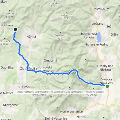 HardTwo-dayMarkedDiviacka Nová Ves VozoreElevation profile265–964 m21.3 kmascent 1 033 m≈ 7.5 h walking
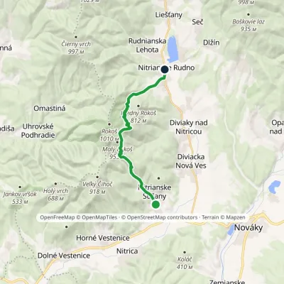 ModerateOne-dayMarkedEducational Trail of Fraňo MadvaElevation profile298–901 m12 kmascent 608 m≈ 4 h walking
Craft nearby
All craft places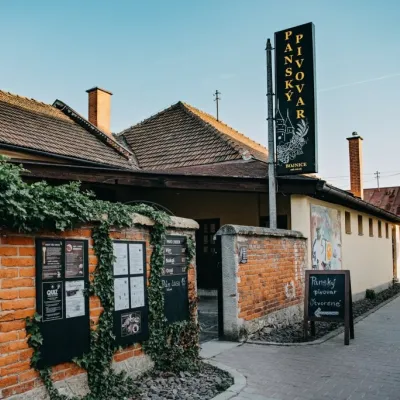 Craft beer & breweriesPanský pivovar Bojnice: unfiltered craft beer below the castle10 km from the trailBojnice is a spa town in the upper Nitra valley at the foot of the Strážov Hills, famous for the fairy-tale castle of the Pálffy family.
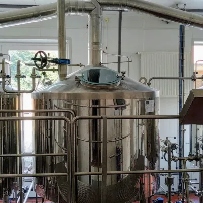 Craft beer & breweriesGalgenberg brewery in Nitrianske Pravno: tour and beer from the tank18 km from the trailNitrianske Pravno is a large village at the northern end of the Upper Nitra basin, 12 km from Prievidza, where the river Nitra leaves the Malá Magura and Žiar hills.
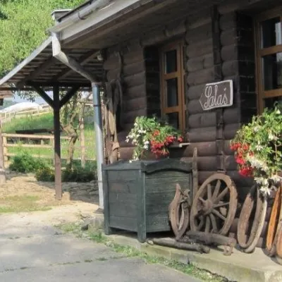 Cheese dairies & pasturesSalaš Pružina: 100% sheep’s bryndza in the Strážov Hills28 km from the trailPružina is a village in a picturesque valley of the Strážov Hills (Strážovské vrchy) west of Považská Bystrica.
 Water parks & thermal poolsSpa & Aquapark Turčianske Teplice32 km from the trailTurčianske Teplice is one of Slovakia’s oldest spa towns. Its warm springs were first mentioned in 1281 in a deed of gift by King Ladislaus IV, and from 1533 they...
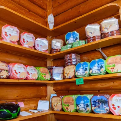 Cheese dairies & pasturesTuriec bryndza dairy, Turčianske Teplice: bryndza since 191733 km from the trailMore than a hundred years of Turiec bryndza Turiec is a wide basin between the ridges of the Veľká and Malá Fatra, a land of pastures and old sheep farming.
 Craft producersKremnica gingerbread: the Haurík family bakery since 192236 km from the trailKremnica is an old mining town in the Kremnica Mountains where coins have been struck for more than six centuries.
