Hrad Devín, parking – Horná Poruba, U Brdárov
Trail map
Route, springs and shelters: © OpenStreetMap contributors (ODbL) · elevation: Copernicus DEM © DLR e.V., © Airbus DS · Data & licences
About the trail
Route Hrad Devín, parking – Horná Poruba, U Brdárov. Has red marking (national route №0701, KST). Waymarking data: OpenStreetMap (© OpenStreetMap contributors, ODbL).
Officially marked national tourist route No. 0701. Marking is red, sign — horizontal stripe on a white background. Marked and maintained by: KST. Length of the route — 190.1 km. Location: mountain range — Little Carpathians, Slovakia.
Attention: part of the route has not yet been mapped in OpenStreetMap, so the line on the map has gaps. On the ground, orient yourself by the marking signs.
At a glance
A multi-day route of 190.1 km with 7,200 m of ascent from Hrad Devín, parking to Horná Poruba, U Brdárov. Estimated time: 9 days of 5–9 h of walking (about 59.5 h in total, not counting stops). Difficulty: hard. Waymarking: red.
Route stages
- 0–190 kmGentle ups and downs at 150–970 m, past Čapec, Kašpariskův vrch, Durda, Veľká Javorina
Steepest kilometre: km 155–156, a descent of 240 m (≈26%).
Water and overnight stays
Springs near the trail: at km 0, 2, 5, 17, 18, 20, 21, 23, 25 and 26 etc.. There are no springs between km 108 and 131 — carry at least 4 l of water. Some springs run low or dry up in late summer.
Huts and shelters near the trail: Klinec Hut (km 29), Sološnická Shelter (km 58), Jozefa Maka Hut (km 90), Holubyho Hut (km 134).
A possible split into days:
- Day 1: km 0–20, ≈6.5 h — overnight: no shelter nearby on the map, bring a tent
- Day 2: km 20–41, ≈6.5 h — overnight: no shelter nearby on the map, bring a tent
- Day 3: km 41–58, ≈5 h — overnight: Sološnická Shelter (hut)
- Day 4: km 58–82, ≈8 h — overnight: no shelter nearby on the map, bring a tent
- Day 5: km 82–104, ≈6.5 h — overnight: no shelter nearby on the map, bring a tent
- Day 6: km 104–125, ≈6.5 h — overnight: no shelter nearby on the map, bring a tent
- Day 7: km 125–148, ≈6.5 h — overnight: no shelter nearby on the map, bring a tent
- Day 8: km 148–171, ≈6.5 h — overnight: no shelter nearby on the map, bring a tent
- Day 9: km 171–190, ≈6.5 h — finish
When to go
The route can be walked most of the year; it is most comfortable from April to October.
Getting there
Start: Hrad Devín, parking. This is a one-way route: the finish is 129 km from the start in a straight line, so plan your way back in advance.
FAQ
- How long does the route take?
- Estimated time: 9 days of 5–9 h of walking (about 59.5 h in total, not counting stops).
- Is there water on the route?
- Springs near the trail: at km 0, 2, 5, 17, 18, 20, 21, 23, 25 and 26 etc.. There are no springs between km 108 and 131 — carry at least 4 l of water. Some springs run low or dry up in late summer.
- Where can I stay overnight?
- Huts and shelters near the trail: Klinec Hut (km 29), Sološnická Shelter (km 58), Jozefa Maka Hut (km 90), Holubyho Hut (km 134). Possible overnight stops: Sološnická Shelter (km 58).
Water and shelter on the route
- Castle well, 174 mkm 0.1 from the start · 170 m off the path · Not verified · 174 m
- Ladislavov Springkm 2.3 from the start · Not verified · 327 m
- Spring under Kobylia (Biele skaly)km 5.1 from the start · 130 m off the path · Not verified · 387 m
- Bohran Springkm 5.6 from the start · 50 m off the path · Not verified · 391 m
- Spring below Červený Mostkm 18.1 from the start · Not verified · 195 m
- Oškerda Springkm 19.5 from the start · 290 m off the path · Not verified · 363 m
- Drieňovkakm 21.1 from the start · 280 m off the path · Not verified · 362 m
- Jánov prameň Spring, 326 mkm 22.1 from the start · 90 m off the path · Not verified · 326 m
- Máriin Springkm 25 from the start · Not verified · 395 m
- Spring below Spariská (south slope), 361 mkm 25.7 from the start · 180 m off the path · Not verified · 361 m
- Kvapkavka Springkm 27.1 from the start · 190 m off the path · Not verified · 396 m
- Himligárka Springkm 28.2 from the start · 230 m off the path · Not verified · 435 m
- Klinec Hutkm 30.6 from the start · 80 m off the path · Standing · 511 m
- Spring below Hrubý Hajdúchkm 30.6 from the start · 210 m off the path · Not verified · 515 m
- Silnického Springkm 32.5 from the start · Not verified · 546 m
- Spring below Tri chotáre (south slope)km 35.5 from the start · 90 m off the path · Not verified · 501 m
- Blatiny Springkm 47.8 from the start · 200 m off the path · Not verified · 606 m
- Modranská baba Springkm 52.8 from the start · 150 m off the path · Not verified · 600 m
- Spring below Gajdoškm 55.8 from the start · 130 m off the path · Not verified · 538 m
- Sološnická Shelterkm 61.5 from the start · 120 m off the path · Not verified · 281 m
- Spring below Malá Vápenná (west slope), 347 mkm 62.7 from the start · 130 m off the path · Not verified · 347 m
- Nazdar Springkm 69.3 from the start · 140 m off the path · Not verified · 557 m
- Vyvieračka Spring, 467 mkm 70.8 from the start · 70 m off the path · Not verified · 467 m
- Mon Repos Springkm 71.2 from the start · Not verified · 483 m
- Spring near obrázokkm 72.3 from the start · 280 m off the path · Not verified · 415 m
- Spring below Šedivý vrchkm 87 from the start · Not verified · 271 m
- Spring below Šrenkov vŕšokkm 93.4 from the start · 60 m off the path · Not verified · 289 m
- Spring below Mihalinová (west slope), 321 mkm 94.1 from the start · Not verified · 321 m
- Jozefa Maka Hutkm 95.8 from the start · 160 m off the path · Not verified · 422 m
- Spring Pod Dankech lúkukm 97 from the start · 50 m off the path · Not verified · 329 m
- Spring below Mariášske brehykm 99.2 from the start · Not verified · 244 m
- Hlávka Springkm 99.8 from the start · Not verified · 242 m
- U Vodníka Springkm 112.5 from the start · 260 m off the path · Not verified · 276 m
- Spring below Krátky vŕšokkm 115 from the start · Not verified · 448 m
- Studánka Spring, 814 mkm 139.9 from the start · 280 m off the path · Not verified · 814 m
- Holubyho Hutkm 142.8 from the start · Standing · 905 m
- Spring below Veľký Lopeník (south slope), 540 mkm 153.1 from the start · 120 m off the path · Not verified · 540 m
- Spring below Kykula (east slope), 696 mkm 158.4 from the start · 100 m off the path · Not verified · 696 m
- Spring below Kykula (east slope), 673 mkm 159.7 from the start · 220 m off the path · Not verified · 673 m
- Spring below Machnáč (south slope)km 162.1 from the start · 90 m off the path · Not verified · 705 m
- Spring below Ihriskákm 164.9 from the start · Not verified · 586 m
- Drinking water below Brezinakm 168.6 from the start · Not verified · 234 m
- Spring below Bolovicakm 170.8 from the start · 210 m off the path · Not verified · 302 m
- Záblatská kyselka Mineral Springkm 171.6 from the start · Not verified · 252 m
- Drinking water below Kozí vrch (north-west slope), 228 mkm 177.1 from the start · 180 m off the path · Not verified · 228 m
- Well of Lovekm 177.6 from the start · 70 m off the path · Not verified · 226 m
- Drinking water below Kozí vrch (north slope), 210 mkm 178.1 from the start · 70 m off the path · Not verified · 210 m
- Spring below Nemcov vrch (west slope)km 181.5 from the start · Not verified · 235 m
- Spring below Kubriansky hájkm 183.9 from the start · Not verified · 326 m
- Spring below Málenie (south slope)km 185.8 from the start · 120 m off the path · Not verified · 302 m
- Studnička Búcľavky Springkm 188.1 from the start · Not verified · 435 m
- Drinking water below Pri altáne (west slope), 274 mkm 189.5 from the start · 160 m off the path · Not verified · 274 m
- Pitný prameň Wellkm 189.9 from the start · 90 m off the path · Not verified · 276 m
- Spring below Klepáč (north slope), 359 mkm 190.4 from the start · 260 m off the path · Not verified · 359 m
- Spring below Ostrý Vrch (north-west slope), 339 mkm 191.5 from the start · Not verified · 339 m
- Captured spring below Ostrý Vrchkm 192 from the start · 80 m off the path · Not verified · 395 m
- Spring below Michalovákm 195.8 from the start · Not verified · 562 m
- Spring below Hoľazne (south slope), 612 mkm 200.7 from the start · Not verified · 612 m
- Spring below Jedľovina (east slope)km 203 from the start · Not verified · 446 m
Comments
Trails nearby
All trails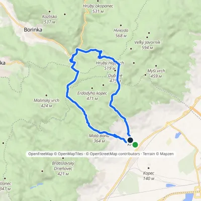 ModerateOne-dayMarkedRača Rača, loopElevation profile153–525 m16.3 kmascent 573 m≈ 5 h walking
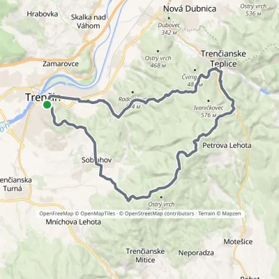 HardMulti-dayMarkedVladov Trail (marathon route)Elevation profile212–701 m33 kmascent 1 109 m≈ 10.5 h walking
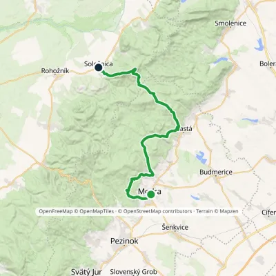 HardMulti-dayMarkedModra, square SološnicaElevation profile175–744 m32.9 kmascent 1 113 m≈ 10.5 h walking
Craft nearby
All craft places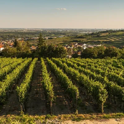 Wine & tastingsDubovský & Grančič Winery, Svätý Jur: tastings and sektSvätý Jur19 km from the trailFrom sixty ares to “Winemaker of the Year” Svätý Jur is an old wine town on the southern slopes of the Little Carpathians, just beyond the Bratislava city limits.
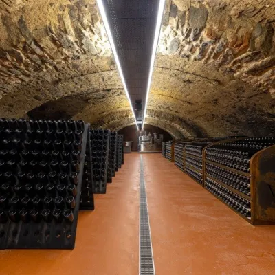 Wine & tastingsVIAJUR winery in Svätý Jur: tastings in the Pálffy cellarsSvätý Jur19 km from the trailWine in old cellars on the edge of Bratislava Svätý Jur is an old wine town at the very foot of the Little Carpathians, just beyond the Bratislava city limits.
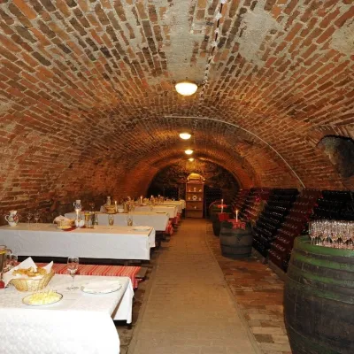 Wine & tastingsHACAJ winery in Pezinok: sparkling wine in a 300-year-old cellarPezinok25 km from the trailPezinok is the centre of the Little Carpathian Wine Route, a town where winegrowers’ houses with deep cellars line the old streets.
 Crafts & workshopsSlovak Folk Majolica in Modra: pottery tour and paintingModra30 km from the trailModra is a small wine town on the eastern slopes of the Little Carpathians, half an hour’s drive from Bratislava.
 Wine & tastingsJuran z Modry winery: tastings in a Modra wine shopModra30 km from the trailModra is one of the main wine towns of the Little Carpathians: every other courtyard has its own cellar, and rows of vines climb the slopes above the town.
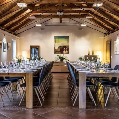 Wine & tastingsKarpatská Perla winery in Šenkvice: tastings and cellarŠenkvice31 km from the trailFrom a home cellar to Winery of the Year Šenkvice is a wine village on the plain below the eastern slopes of the Little Carpathians, between Pezinok and Modra.
