Bradlo
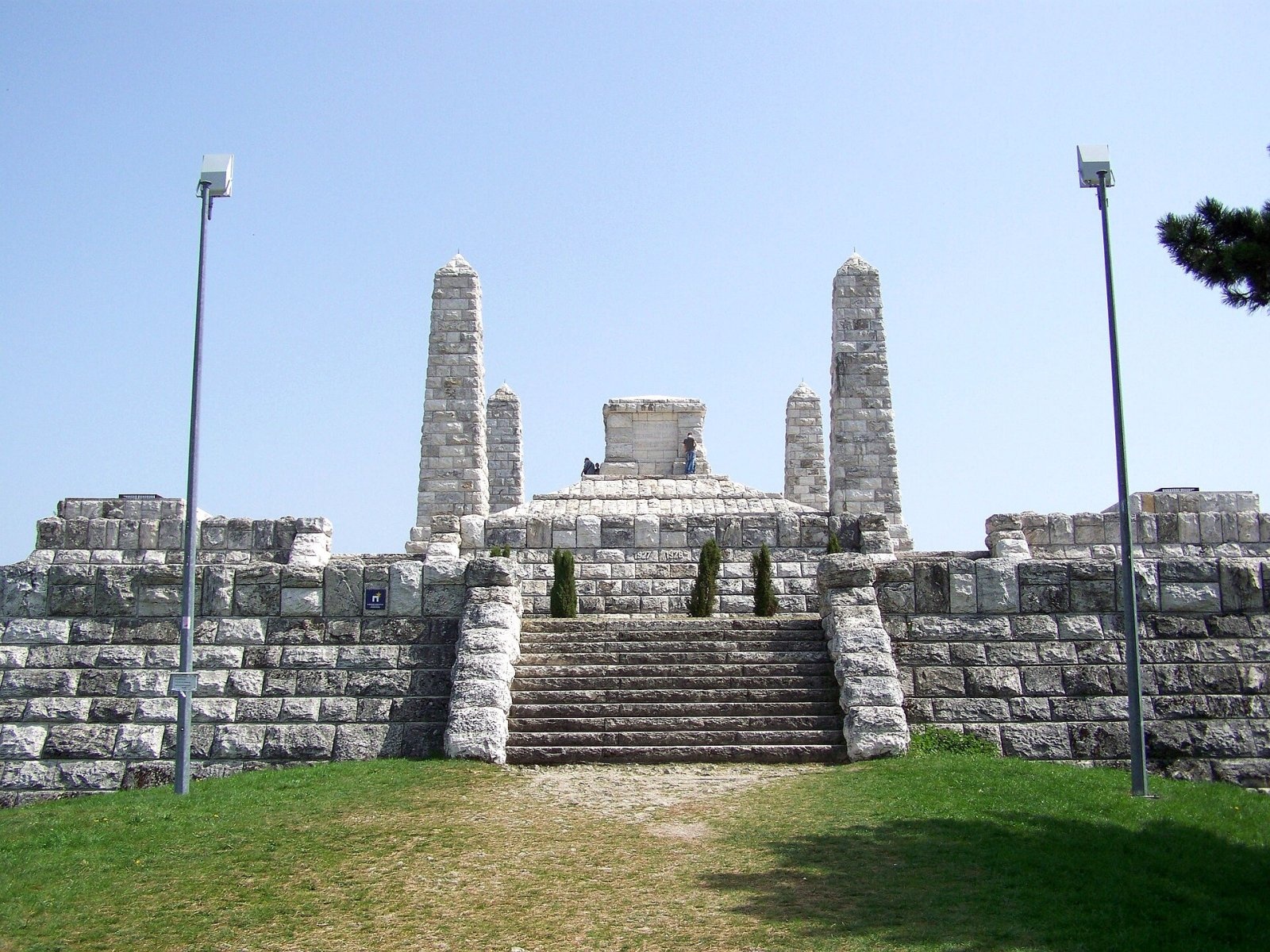
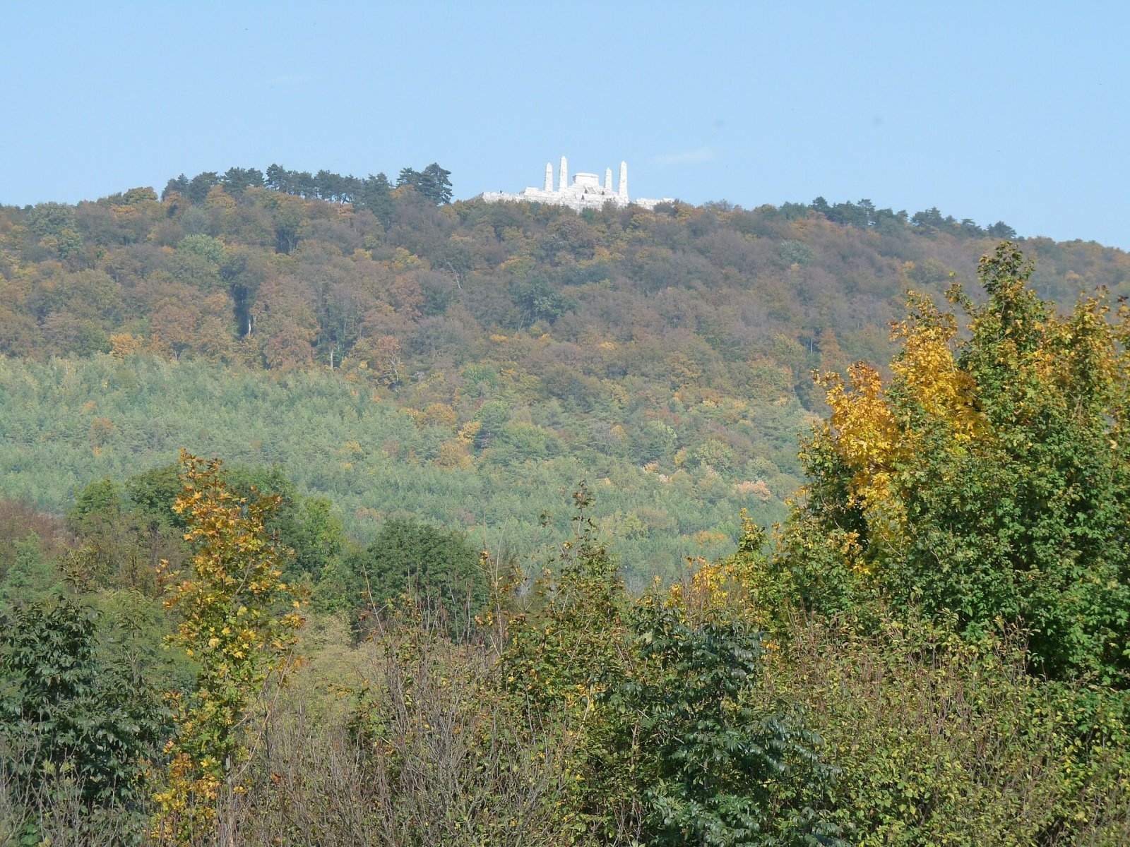
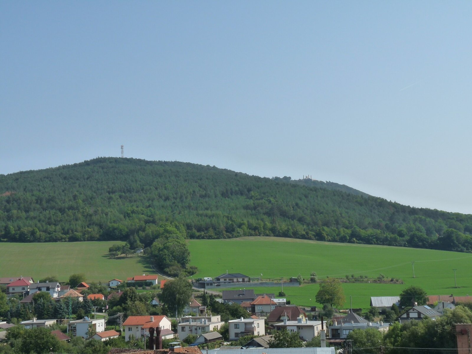
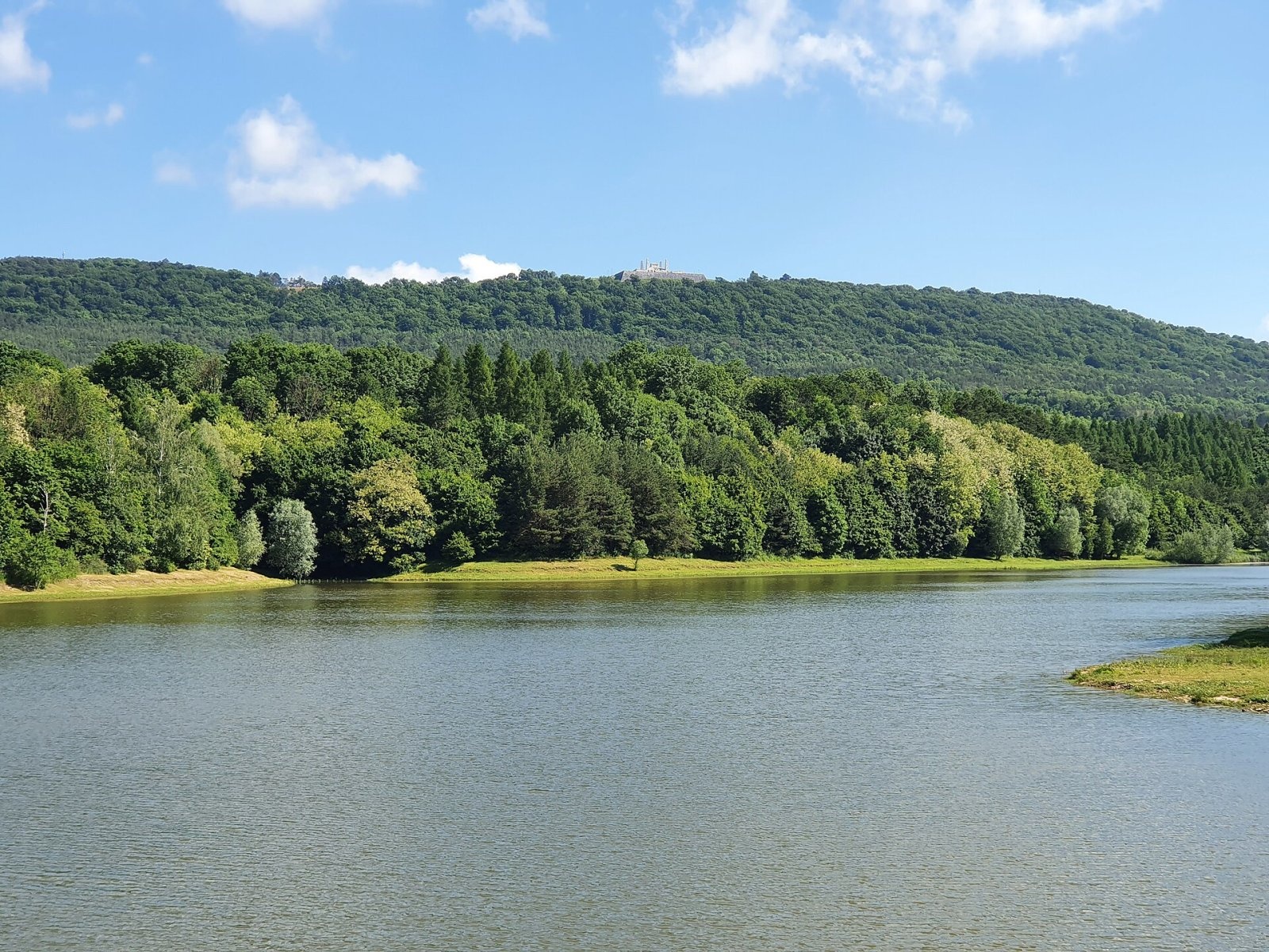
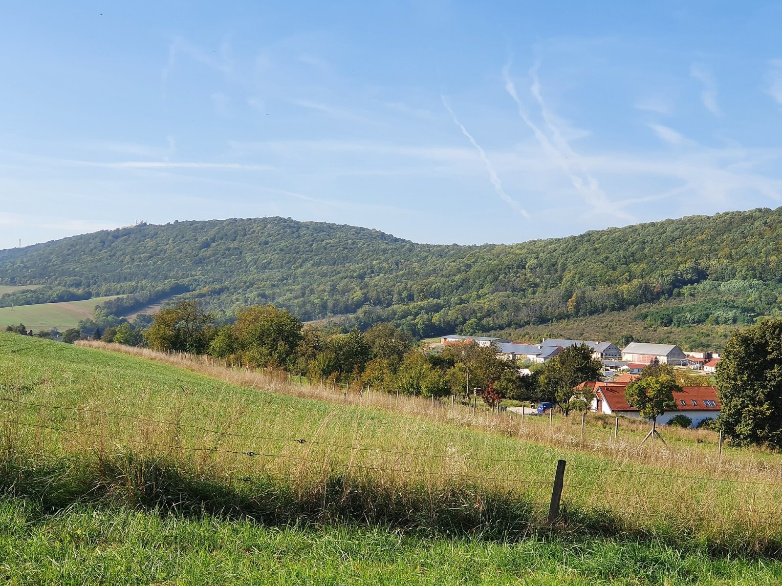
Bradlo (Hungarian Bradló) is a 543 m limestone summit, the highest point of the Myjava Hills (Myjavská pahorkatina) in western Slovakia. It lies on the southern edge of the hills, about 2 km north-east of the town of Brezová pod Bradlom, in the Myjava District of the Trenčín Region; its slopes also belong to the villages of Priepasné and Košariská. Despite its modest height, Bradlo is one of the best-known places in Slovakia: on its ridge stands the Mound of Milan Rastislav Štefánik, the monumental mausoleum of one of the founders of Czechoslovakia.
How to get there / routes
The marked trails lead mainly to the mound, which stands on the ridge south-west of the summit itself.
- Red — the Štefánik Trail (Štefánikova magistrála), largely following the SNP Heroes’ Trail: from Brezová pod Bradlom (last section green, about 2.2 km) or from the town of Myjava — about 11.3 km, roughly 3 hours.
- Yellow, then green: from the village of Košariská, Štefánik’s birthplace.
- Green: from the Dlhý vŕšok settlement of Priepasné — the only trail passing just below the summit.
A paved road with a car park also leads from Brezová pod Bradlom almost to the monument.
What you can see from the summit
The summit itself is wooded, so it offers hardly any view. The mound, however, gives a view in practically all directions — over the picturesque landscape of scattered hamlets (kopanice) around Brezová pod Bradlom, the surrounding hills and, in good weather, Veľká Javorina, Inovec and occasionally even the northern Alps.
Nature and history
Bradlo is a limestone outlier exposed by the erosion of softer surrounding rocks. Most of the hill is covered by mixed forest, with mountain meadows giving limited views.
General Milan Rastislav Štefánik — astronomer, diplomat and soldier — died in a plane crash on 4 May 1919 near Ivanka pri Dunaji while returning home. Three days later he was buried on Bradlo with his Italian crew, above his native Košariská. The architect Dušan Jurkovič, who during the First World War had built dozens of military cemeteries in Galicia, conceived a monumental tomb for him. The foundation stone was laid five years after Štefánik’s death, and about two million crowns were raised by a national collection. The mound was solemnly unveiled on 23 September 1928, for the tenth anniversary of the Czechoslovak Republic.
The white terraced structure of massive travertine blocks consists of two truncated pyramids and a three-stepped pyramid bearing the tomb; four 12 m obelisks stand at the corners of the upper terrace. It was declared a national cultural monument in 1968, thoroughly restored in 1988–1996 and added to the European Heritage Label list in 2009. The Štefánik Trail ends at the mound.
Safety, season and rules
The routes to Bradlo are easy and open all year; in winter a small ski tow runs on the slopes. The mound is a place of remembrance: please behave quietly and respectfully. Emergency number 112; in the Slovak mountains the Mountain Rescue Service (HZS) also operates: 18 300 (+421 18 300).
Interesting facts
- The tomb bears the inscription “To a great son — the liberated Czechoslovak nation”.
- The Italian airmen U. Merlino and G. Aggiunti are buried here alongside Štefánik.
Photos: Baca12 (talk), CC BY-SA 3.0; Akul59, CC BY-SA 4.0; Akul59, CC BY-SA 4.0; Akul59, CC BY-SA 4.0; Akul59, CC BY-SA 4.0; Akul59, CC BY-SA 4.0; Lure, CC BY-SA 4.0 — Wikimedia Commons.
Getting there from Ukraine
Border crossings
- Uzhhorod – Vyšné Nemecké — road, 24/7
- Malyi Bereznyi – Ubľa — road, 24/7 For cars and buses; pedestrians not confirmed by the Ukrainian border service, lorries up to 3.5 t.
- Mali Selmentsi – Veľké Slemence (pedestrian) — pedestrian, 09:00–21:00 Kyiv time Pedestrians and cyclists only; inconvenient for the Tatras without onward transport.
- Chop – Čierna nad Tisou (rail) — rail, 24/7
By car
From Uzhhorod to Žilina ≈330 km, ≈4 h 20 min without queues: Uzhhorod – Vyšné Nemecké → I/19 to Košice → D1 via Prešov, Poprad, Liptovský Mikuláš and Ružomberok (≈17 km on I/18 between D1 sections) → Žilina. To Terchová ≈314 km, ≈4 h 15 min: from the D1 onto I/70 and II/583. From Lviv through Poland: M-10 → Krakovets – Korczowa → A4 to Kraków → S7/DK7 to Chyżne – Trstená → R3, I/59 to Dolný Kubín → II/583 via Terchová to Žilina: to Terchová ≈493 km (≈6 h 30 min), to Žilina ≈518 km (≈7 h). Via the tolled A4 Kraków – Katowice, S1 and D3: ≈533 km, ≈6 h 35 min. The D1 requires an e-vignette (eznamka.sk).
Checked 23.10.2026; border crossing hours and timetables change — check before you travel.
Location on the map
Water and shelter nearby
- Spring below Krátky vŕšok740 m · Not verified · 448 m
- U Vodníka Spring2.5 km · Not verified · 276 m
Comments
Trails nearby
All trails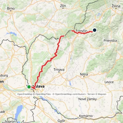 HardMulti-dayMarkedHrad Devín, parking Horná Poruba, U BrdárovElevation profile146–965 m190.1 kmascent 7 200 munder 1 km from Bradlo
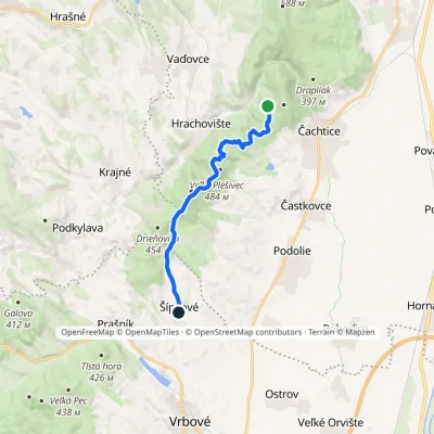 EasyOne-dayMarkedČachtický Castle ŠípkovéElevation profile216–484 m11.2 kmascent 192 m≈ 3 h walking11 km from Bradlo
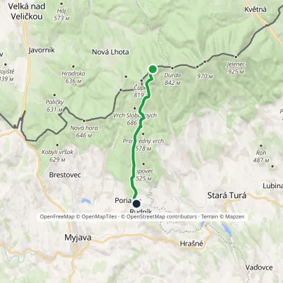 EasyOne-dayMarkedPoriadie Dibrovov Monument, state borderElevation profile369–774 m9.9 kmascent 62 m≈ 2.5 h walking11 km from Bradlo
Nearby attractions
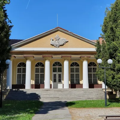 Water parks & thermal poolsSmrdáky: a hydrogen-sulphide spa for skin diseasesSmrdáky20 km from BradloSmrdáky is a small spa village in western Slovakia, on the edge of the Záhorie Lowland and the foothills of the White Carpathians, about 7 km from Senica and 80 km...
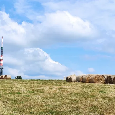 Mountain meadowThe meadows of Veľká Javorina, the highest peak of the White CarpathiansLubinaaltitude 970 m21 km from BradloVeľká Javorina (Czech Velká Javořina, 969.8 m) is the highest mountain of the White Carpathians (Biele Karpaty) on the Slovak–Czech border, about 8 km north of the...
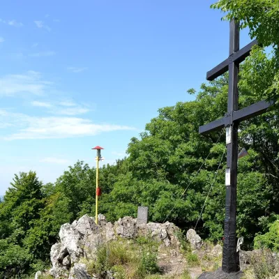 PeakZárubyBukováaltitude 767 m22 km from BradloZáruby (formerly also Ostrý vrch, German Scharfenstein) is the highest peak of the Little Carpathians at 767 m (some signposts say 768 m).
Craft nearby
All craft places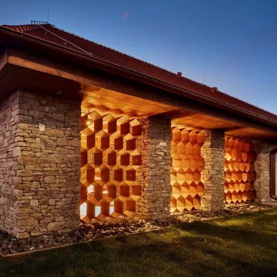 Honey & meaderiesVčelovina meadery, Smolenice: mead and honey beerSmolenice21 km from BradloThis is where the Včelovina meadery works — “a small production with a big heart”, as its founders put it.
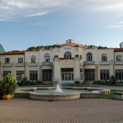 Water parks & thermal poolsPiešťany: the Spa Island, sulphur mud and thermal bathsPiešťany23 km from BradloPiešťany is Slovakia's best-known spa, spread out in the Váh valley between the Považský Inovec and the Little Carpathians.
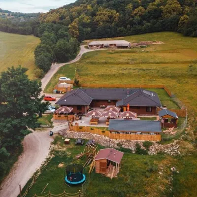 Cheese dairies & pasturesSalaš Beckov: 100% sheep’s cheese and bryndza dumplingsBeckov26 km from BradloA sheep salaš beside one of the Váh valley’s finest castles Beckov is a village in the Váh valley between Nové Mesto nad Váhom and Trenčín, overlooked by the ruins of...
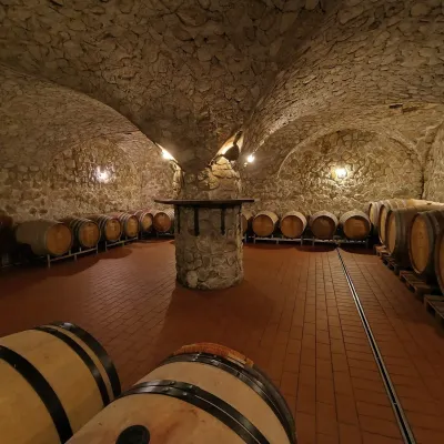 Wine & tastingsMagula Winery, Suchá nad Parnou: biodynamic wines and a farmSuchá nad Parnou29 km from BradloSuchá nad Parnou is a wine village on the south-eastern slopes of the Little Carpathians, near Trnava.
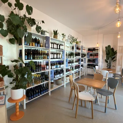 Wine & tastingsJuran z Modry winery: tastings in a Modra wine shopModra43 km from BradloModra is one of the main wine towns of the Little Carpathians: every other courtyard has its own cellar, and rows of vines climb the slopes above the town.
 Crafts & workshopsSlovak Folk Majolica in Modra: pottery tour and paintingModra44 km from BradloModra is a small wine town on the eastern slopes of the Little Carpathians, half an hour’s drive from Bratislava.
