Havranica
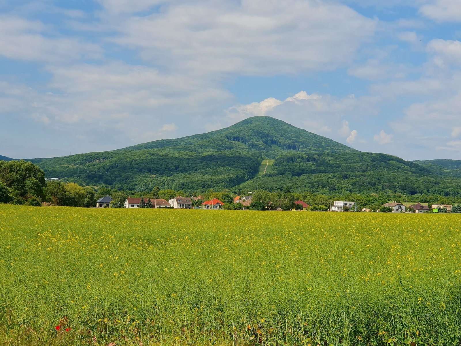
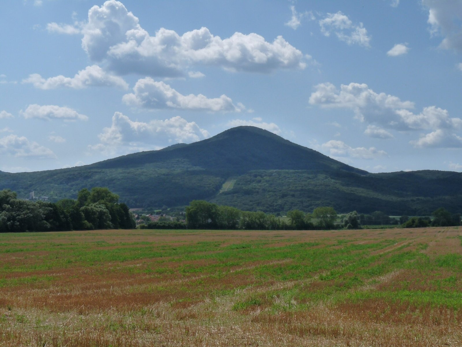
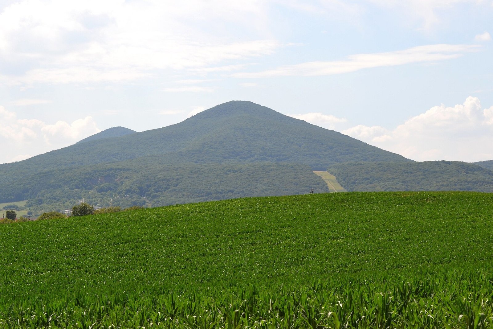
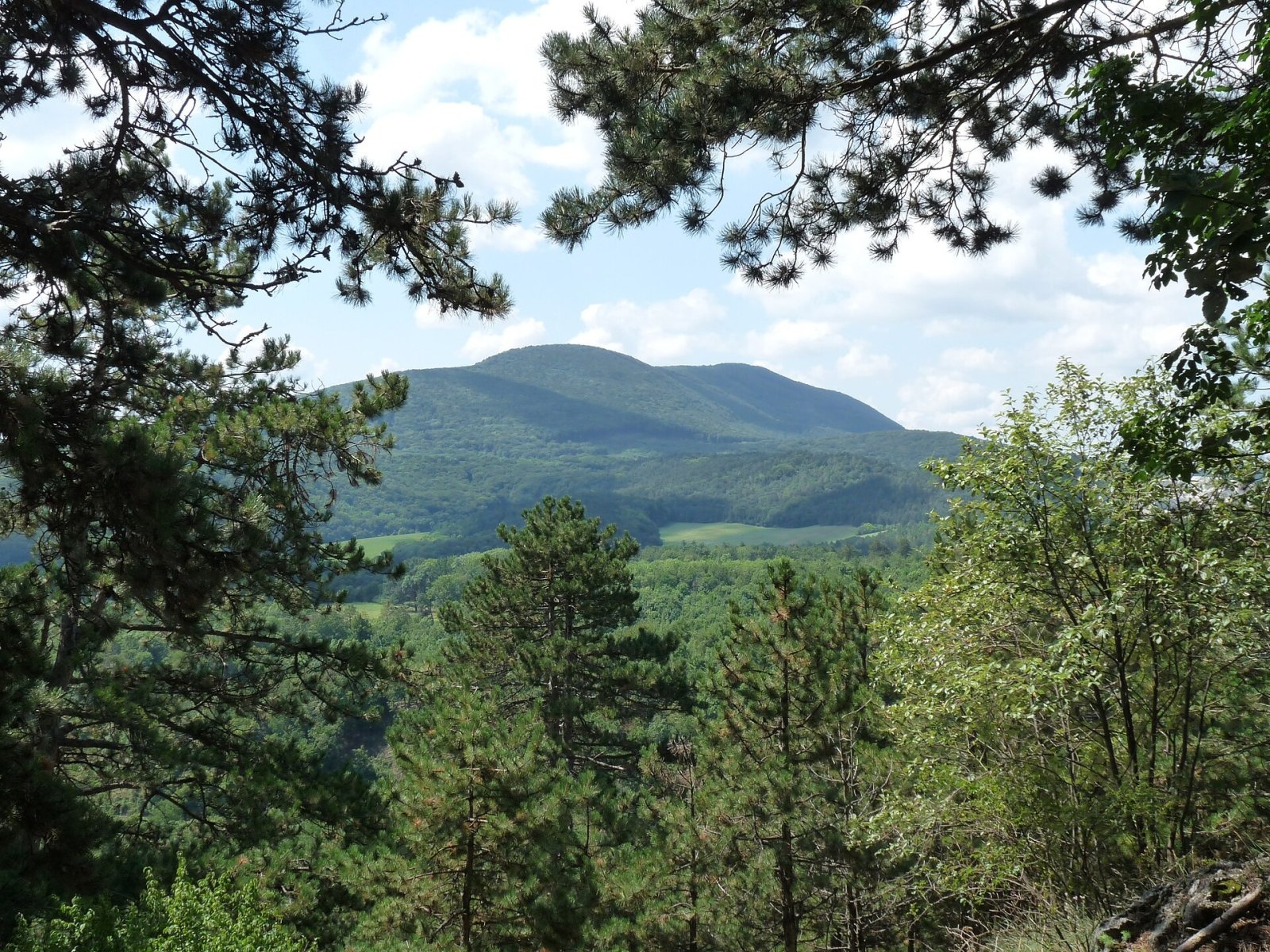
Havranica is a 717 m summit in the Little Carpathians (Malé Karpaty) in western Slovakia. It rises above the village of Smolenice, about 18 km north-west of Trnava. Havranica lies in the central part of the range, in the Pezinok Carpathians and their Biele hory section, on the main ridge – in the massif whose highest point is Záruby (767 m). The mountain belongs to the Trnava Region and Trnava District and extends into the cadastres of Smolenice and Buková. The nearest villages are Buková at the northern foot (about 2 km), Smolenice to the south (about 3 km) and Trstín to the east (about 4 km). The summit lies in the Little Carpathians Protected Landscape Area.
To the west, beyond an indistinct saddle, lies Záruby; to the north Medzipanské (464 m) and Biela hora (374 m), to the east the Havrania skala rocks, to the south Driny (483 m) and to the south-west Čelo (716 m). The northern, eastern and southern parts of the massif drain to the Dudváh via the Trnávka, while water from the northern slopes flows via the Hrudky stream to the Rudava and on to the Morava. The summit therefore lies on the divide between the Váh and Morava basins.
How to get there / routes
The red Štefánik Trail (Štefánikova magistrála), which here coincides with the SNP Heroes' Trail and the European path E8, crosses the summit. Local trails join it.
- Red trail: from the west from Ostrý Kameň via Záruby; from the north from Buková (quarry) via Havrania skala.
- Blue trail: from the east from Smolenice via Havrania skala; from the south-west from Plavecký Mikuláš via Červená hora and Záruby.
- Yellow trail: from Smolenice railway station via Havrania skala; from the west from Plavecký Peter via Ostrý Kameň.
What you can see from the top
Dense forest covers the ridge and summit, so views open only from small spots with thinner vegetation. From there you see mainly the neighbouring Little Carpathian peaks and the Záhorie and Danubian lowlands, and in good conditions part of the White Carpathians, the Chvojnica Hills, the Považský Inovec and the Tribeč.
Nature and history
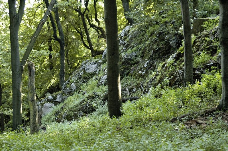
With its regular cone-shaped silhouette, Havranica is easy to spot from the plain around Trstín, Naháč and Smolenice. Limestone rocks crop out in the forest near the summit. The mountain belongs to the Záruby massif, the highest part of the Little Carpathians in this area, and the neighbouring Havrania skala is a well-known rocky spot above Smolenice.
Safety, season and rules
The routes are forest paths and not difficult, but limestone paths get slippery after rain. There are no services on the summit, so carry water. In the protected landscape area stay on marked trails. Slovak Mountain Rescue Service (HZS): 18 300 (+421 18 300); general emergency number 112.
Interesting facts
- A section of the long SNP Heroes' Trail crosses the summit.
- Havranica is almost exactly as high as neighbouring Čelo (716 m).
Photos: Akul59, CC BY-SA 4.0; Akul59, CC BY-SA 4.0; Lure, CC BY-SA 4.0; Akul59, CC BY-SA 4.0; Doronenko, CC BY-SA 3.0 — Wikimedia Commons.
Getting there from Ukraine
Border crossings
- Uzhhorod – Vyšné Nemecké — road, 24/7
- Malyi Bereznyi – Ubľa — road, 24/7 For cars and buses; pedestrians not confirmed by the Ukrainian border service, lorries up to 3.5 t.
- Mali Selmentsi – Veľké Slemence (pedestrian) — pedestrian, 09:00–21:00 Kyiv time Pedestrians and cyclists only; inconvenient for the Tatras without onward transport.
- Chop – Čierna nad Tisou (rail) — rail, 24/7
By car
From Uzhhorod to Žilina ≈330 km, ≈4 h 20 min without queues: Uzhhorod – Vyšné Nemecké → I/19 to Košice → D1 via Prešov, Poprad, Liptovský Mikuláš and Ružomberok (≈17 km on I/18 between D1 sections) → Žilina. To Terchová ≈314 km, ≈4 h 15 min: from the D1 onto I/70 and II/583. From Lviv through Poland: M-10 → Krakovets – Korczowa → A4 to Kraków → S7/DK7 to Chyżne – Trstená → R3, I/59 to Dolný Kubín → II/583 via Terchová to Žilina: to Terchová ≈493 km (≈6 h 30 min), to Žilina ≈518 km (≈7 h). Via the tolled A4 Kraków – Katowice, S1 and D3: ≈533 km, ≈6 h 35 min. The D1 requires an e-vignette (eznamka.sk).
Checked 23.10.2026; border crossing hours and timetables change — check before you travel.
Location on the map
Water and shelter nearby
- Spring below Cerník (east slope)1.4 km · Not verified · 358 m
- Spring below Cerník (south-west slope)1.6 km · Not verified · 410 m
- Tomášek Spring2.3 km · Not verified · 280 m
- Spring below Ostrý Kameň2.3 km · Not verified · 461 m
Comments
Trails nearby
All trails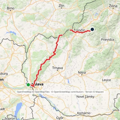 HardMulti-dayMarkedHrad Devín, parking Horná Poruba, U BrdárovElevation profile146–965 m190.1 kmascent 7 200 munder 1 km from Havranica
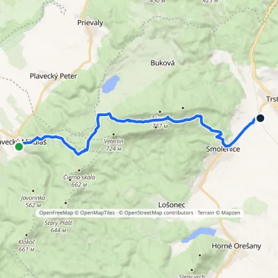 ModerateOne-dayMarkedPlavecký Mikuláš Smolenice, stationElevation profile207–651 m15.7 kmascent 552 m≈ 5 h walkingunder 1 km from Havranica
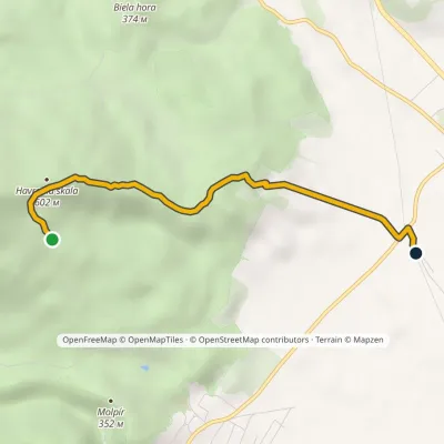 EasyOne-dayMarkedSmolenice, station Havrania skala, junctionElevation profile208–602 m3.9 kmascent 99 m≈ 1 h walkingunder 1 km from Havranica
Nearby attractions
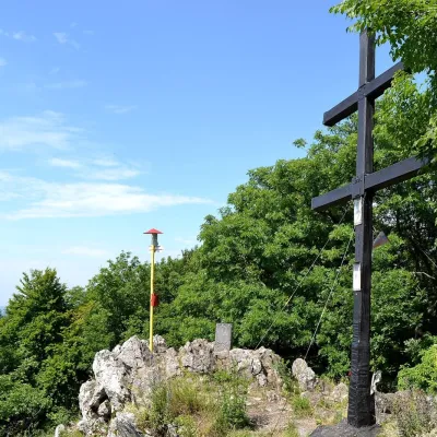 PeakZárubyBukováaltitude 767 m1.1 km from HavranicaZáruby (formerly also Ostrý vrch, German Scharfenstein) is the highest peak of the Little Carpathians at 767 m (some signposts say 768 m).
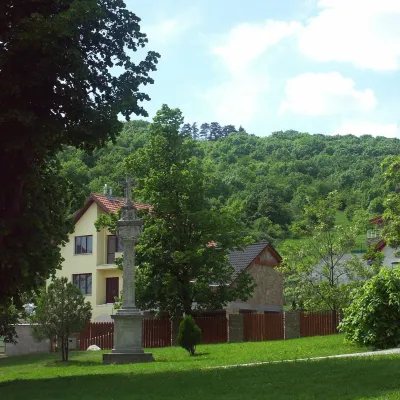 PeakMolpírSmolenicealtitude 354 m2 km from HavranicaMolpír is a low, wooded 354 m hill in the Little Carpathians (Malé Karpaty), right above the village of Smolenice in the Trnava Region of Slovakia.
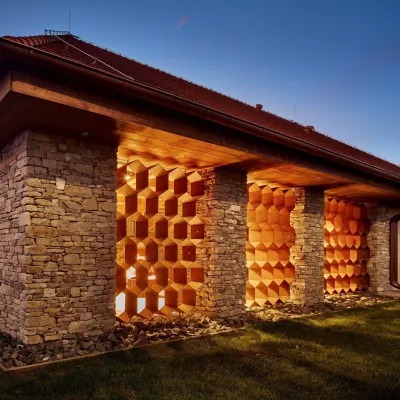 Honey & meaderiesVčelovina meadery, Smolenice: mead and honey beerSmolenice2.8 km from HavranicaThis is where the Včelovina meadery works — “a small production with a big heart”, as its founders put it.
Craft nearby
All craft places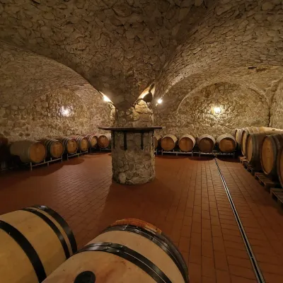 Wine & tastingsMagula Winery, Suchá nad Parnou: biodynamic wines and a farmSuchá nad Parnou14 km from HavranicaSuchá nad Parnou is a wine village on the south-eastern slopes of the Little Carpathians, near Trnava.
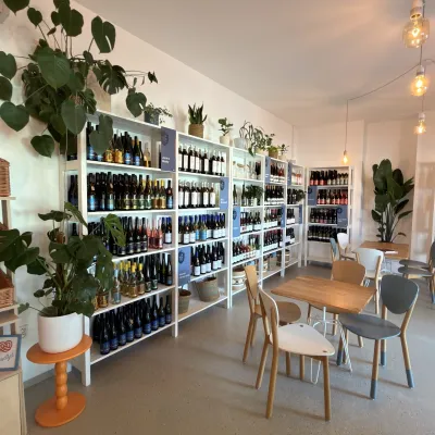 Wine & tastingsJuran z Modry winery: tastings in a Modra wine shopModra22 km from HavranicaModra is one of the main wine towns of the Little Carpathians: every other courtyard has its own cellar, and rows of vines climb the slopes above the town.
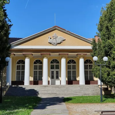 Water parks & thermal poolsSmrdáky: a hydrogen-sulphide spa for skin diseasesSmrdáky23 km from HavranicaSmrdáky is a small spa village in western Slovakia, on the edge of the Záhorie Lowland and the foothills of the White Carpathians, about 7 km from Senica and 80 km...
 Crafts & workshopsSlovak Folk Majolica in Modra: pottery tour and paintingModra23 km from HavranicaModra is a small wine town on the eastern slopes of the Little Carpathians, half an hour’s drive from Bratislava.
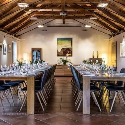 Wine & tastingsKarpatská Perla winery in Šenkvice: tastings and cellarŠenkvice25 km from HavranicaFrom a home cellar to Winery of the Year Šenkvice is a wine village on the plain below the eastern slopes of the Little Carpathians, between Pezinok and Modra.
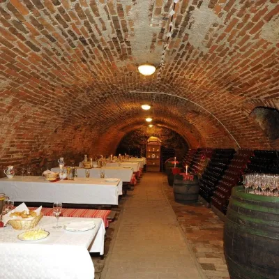 Wine & tastingsHACAJ winery in Pezinok: sparkling wine in a 300-year-old cellarPezinok28 km from HavranicaPezinok is the centre of the Little Carpathian Wine Route, a town where winegrowers’ houses with deep cellars line the old streets.
