Molpír
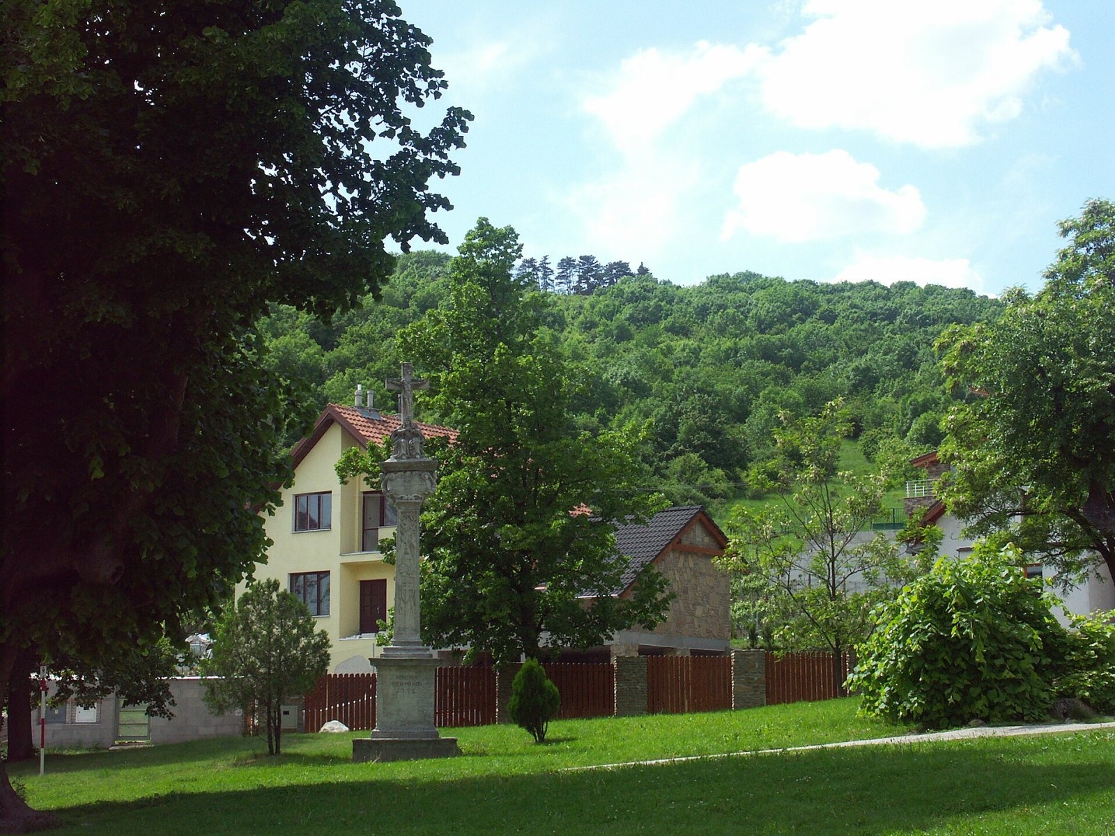
Molpír is a low, wooded 354 m hill in the Little Carpathians (Malé Karpaty), right above the village of Smolenice in the Trnava Region of Slovakia. The summit is less than a kilometre from the village centre, and the well-known Smolenice Castle stands on the neighbouring hill. The nearest settlements are Smolenice (about 1 km), Trstín and Lošonec (3.5 km) and Buková (4 km). Molpír is remarkable not for its height but for what it hides: its top holds one of the most important prehistoric hillforts in Slovakia, later also a Slavic hillfort. The hill is protected as a national cultural monument.
How to get there / routes
- The Molpír educational trail crosses the summit, explaining the history of the hillfort and following the remains of the ramparts.
- The green Smolenice Karst educational trail and the blue trail KST 2412 pass close to the summit, so Molpír is easy to combine with a walk to Smolenice Castle and the karst surroundings.
The climb from Smolenice is short and suitable for families with children.
What you can see from the top
Forest covers the summit, so there are no wide panoramas. The main sight is the site itself: terraces, ramparts and rock outcrops that outline the ancient settlement, with Smolenice and the Trnava Upland glimpsed through the trees.
Nature and history
Around the 6th century BC, in the Early Iron Age (Hallstatt period), a large hillfort of 12–14 ha spread over the top of Molpír. It consisted of three courtyards protected by ramparts. The impressive fortifications were built of loosely laid stone strengthened with earth banks and timber structures. Archaeologists found foundations of towers, fortified gates and a round bastion. Along the inner side of the highest rampart ran a row of wooden log dwellings, and the best-protected upper courtyard, the "acropolis", held rows of terraces with houses.
The hillfort also had a cult site cut into the rock: it contained three sacrificial hearths, next to them the skull and bones of a child about two years old, and broken crescent-shaped and geometric idols. A human skull in the foundations of one house is further evidence of the cult. The settlement's economy rested on crafts – iron tools, weapons and knives, bronze casting and stone querns – but the most important seems to have been the production of yarn and cloth, the basis of its trade. Boat-shaped fibulae, pins, amber and glass beads show contacts with the advanced south-eastern Alpine world. At its peak about 800 people lived here.
The hillfort, at the meeting point of the Kalenderberg and Lusatian cultures, was destroyed at the beginning of the 6th century BC. Many metal arrowheads were found on both sides of the ramparts, yet the only proven victim was a defender killed in the third gate. The attackers used the same arrows as the defenders, so the hillfort was probably destroyed not by invaders from the east but by conflicts among local groups, linked to the emergence of the nomadic Vekerzug culture in the Carpathian Basin.
Safety, season and rules
The walk is easy and possible all year. Molpír is an archaeological monument: do not dig, do not use metal detectors and do not take any finds. Take care near the rock outcrops. In Slovakia the Mountain Rescue Service (HZS) operates: 18 300 (+421 18 300); the general emergency number is 112.
Interesting facts
- About 800 people lived on Molpír at its peak.
- Weaving was probably the hillfort's main craft.
- The only proven victim of its destruction is a defender in the third gate.
Photos: Rado Bahna, Public domain — Wikimedia Commons.
Getting there from Ukraine
Border crossings
- Uzhhorod – Vyšné Nemecké — road, 24/7
- Malyi Bereznyi – Ubľa — road, 24/7 For cars and buses; pedestrians not confirmed by the Ukrainian border service, lorries up to 3.5 t.
- Mali Selmentsi – Veľké Slemence (pedestrian) — pedestrian, 09:00–21:00 Kyiv time Pedestrians and cyclists only; inconvenient for the Tatras without onward transport.
- Chop – Čierna nad Tisou (rail) — rail, 24/7
By car
From Uzhhorod to Žilina ≈330 km, ≈4 h 20 min without queues: Uzhhorod – Vyšné Nemecké → I/19 to Košice → D1 via Prešov, Poprad, Liptovský Mikuláš and Ružomberok (≈17 km on I/18 between D1 sections) → Žilina. To Terchová ≈314 km, ≈4 h 15 min: from the D1 onto I/70 and II/583. From Lviv through Poland: M-10 → Krakovets – Korczowa → A4 to Kraków → S7/DK7 to Chyżne – Trstená → R3, I/59 to Dolný Kubín → II/583 via Terchová to Žilina: to Terchová ≈493 km (≈6 h 30 min), to Žilina ≈518 km (≈7 h). Via the tolled A4 Kraków – Katowice, S1 and D3: ≈533 km, ≈6 h 35 min. The D1 requires an e-vignette (eznamka.sk).
Checked 23.10.2026; border crossing hours and timetables change — check before you travel.
Location on the map
Water and shelter nearby
- Tomášek Spring350 m · Not verified · 280 m
- Spring below Cerník (east slope)1 km · Not verified · 358 m
- Spring below Cerník (south-west slope)1.7 km · Not verified · 410 m
Comments
Trails nearby
All trails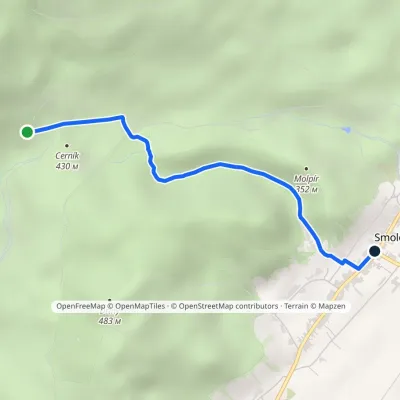 EasyOne-dayMarkedSmolenice Junction above VlčiarňouElevation profile232–442 m3 kmascent 14 m≈ 45 min walkingunder 1 km from Molpír
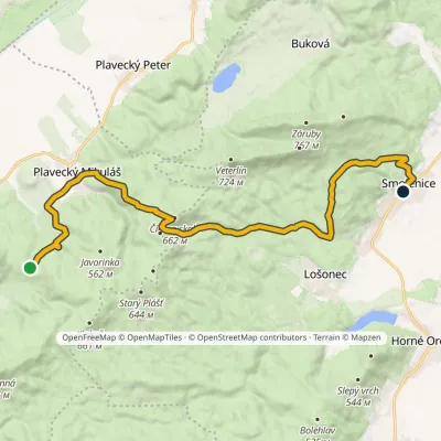 ModerateTwo-dayMarkedSedlo Báborská SmoleniceElevation profile228–660 m18.4 kmascent 577 m≈ 6 h walkingunder 1 km from Molpír
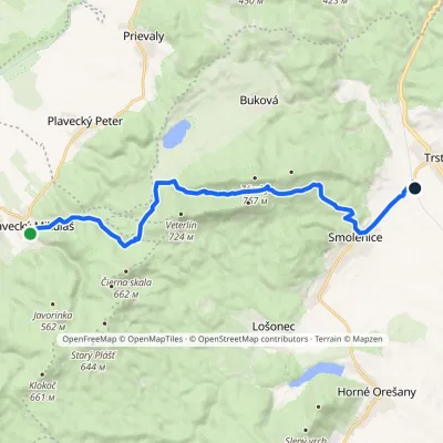 ModerateOne-dayMarkedPlavecký Mikuláš Smolenice, stationElevation profile207–651 m15.7 kmascent 552 m≈ 5 h walkingunder 1 km from Molpír
Nearby attractions
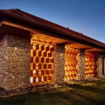 Honey & meaderiesVčelovina meadery, Smolenice: mead and honey beerSmoleniceunder 1 km from MolpírThis is where the Včelovina meadery works — “a small production with a big heart”, as its founders put it.
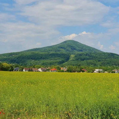 PeakHavranicaBukováaltitude 717 m2 km from MolpírHavranica is a 717 m summit in the Little Carpathians (Malé Karpaty) in western Slovakia. It rises above the village of Smolenice, about 18 km north-west of Trnava.
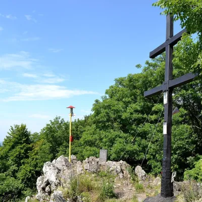 PeakZárubyBukováaltitude 767 m2.7 km from MolpírZáruby (formerly also Ostrý vrch, German Scharfenstein) is the highest peak of the Little Carpathians at 767 m (some signposts say 768 m).
Craft nearby
All craft places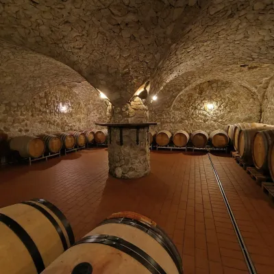 Wine & tastingsMagula Winery, Suchá nad Parnou: biodynamic wines and a farmSuchá nad Parnou12 km from MolpírSuchá nad Parnou is a wine village on the south-eastern slopes of the Little Carpathians, near Trnava.
 Wine & tastingsJuran z Modry winery: tastings in a Modra wine shopModra21 km from MolpírModra is one of the main wine towns of the Little Carpathians: every other courtyard has its own cellar, and rows of vines climb the slopes above the town.
 Crafts & workshopsSlovak Folk Majolica in Modra: pottery tour and paintingModra22 km from MolpírModra is a small wine town on the eastern slopes of the Little Carpathians, half an hour’s drive from Bratislava.
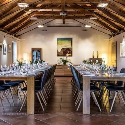 Wine & tastingsKarpatská Perla winery in Šenkvice: tastings and cellarŠenkvice24 km from MolpírFrom a home cellar to Winery of the Year Šenkvice is a wine village on the plain below the eastern slopes of the Little Carpathians, between Pezinok and Modra.
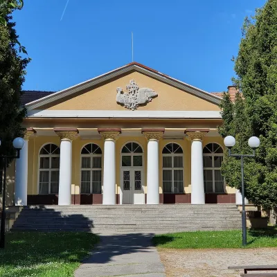 Water parks & thermal poolsSmrdáky: a hydrogen-sulphide spa for skin diseasesSmrdáky25 km from MolpírSmrdáky is a small spa village in western Slovakia, on the edge of the Záhorie Lowland and the foothills of the White Carpathians, about 7 km from Senica and 80 km...
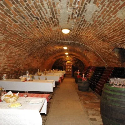 Wine & tastingsHACAJ winery in Pezinok: sparkling wine in a 300-year-old cellarPezinok27 km from MolpírPezinok is the centre of the Little Carpathian Wine Route, a town where winegrowers’ houses with deep cellars line the old streets.
