Mountain shelter
Holubyho Hut
Slovakia · White Carpathians range · 905 m
Condition
StandingNo hikers’ reports yet. According to open data the hut is open — check its website or call before setting out.
Last edited on the OSM map 11.05.2026
- 905 m
- Meals served
Practical info
- Local name: Holubyho chata
- Opening hours: Tu-Th 10:00-17:00; Fr-Sa 10:00-18:00; Su 10:00-17:00
- Food: Kitchen or buffet
- Contacts: +421323700338 · holubyhochata.eu
About
White Carpathians range, about 910 m above sea level. 3 of the site’s trails pass nearby, including “Hrad Devín, parking – Horná Poruba, U Brdárov”.
The hut is staffed and serves hot food. Opening hours according to OpenStreetMap: Tu-Th 10:00-17:00; Fr-Sa 10:00-18:00; Su 10:00-17:00.
On the map
Coordinates: 48.85738, 17.68195
How to get there
Trails nearby
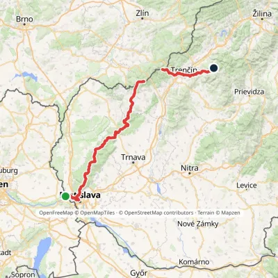 HardMulti-dayMarkedHrad Devín, parking Horná Poruba, U BrdárovElevation profile146–965 m190.1 kmascent 7 200 m
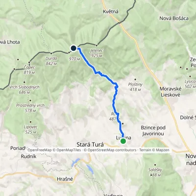 ModerateOne-dayMarkedTrail of Captain Miloš UhraElevation profile269–961 m11.9 kmascent 845 m≈ 4.5 h walking
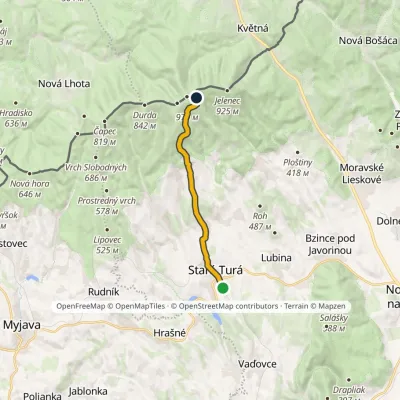 ModerateOne-dayMarkedStará Turá Veľká Javorina, Holuby HutElevation profile279–907 m10.7 kmascent 647 m≈ 4 h walking
Report the condition
Been here recently? Tell us what you saw and add photos — your report appears on the page right away with today’s date.
No photos yet — send yours together with a condition report.
