Trenčianske Teplice
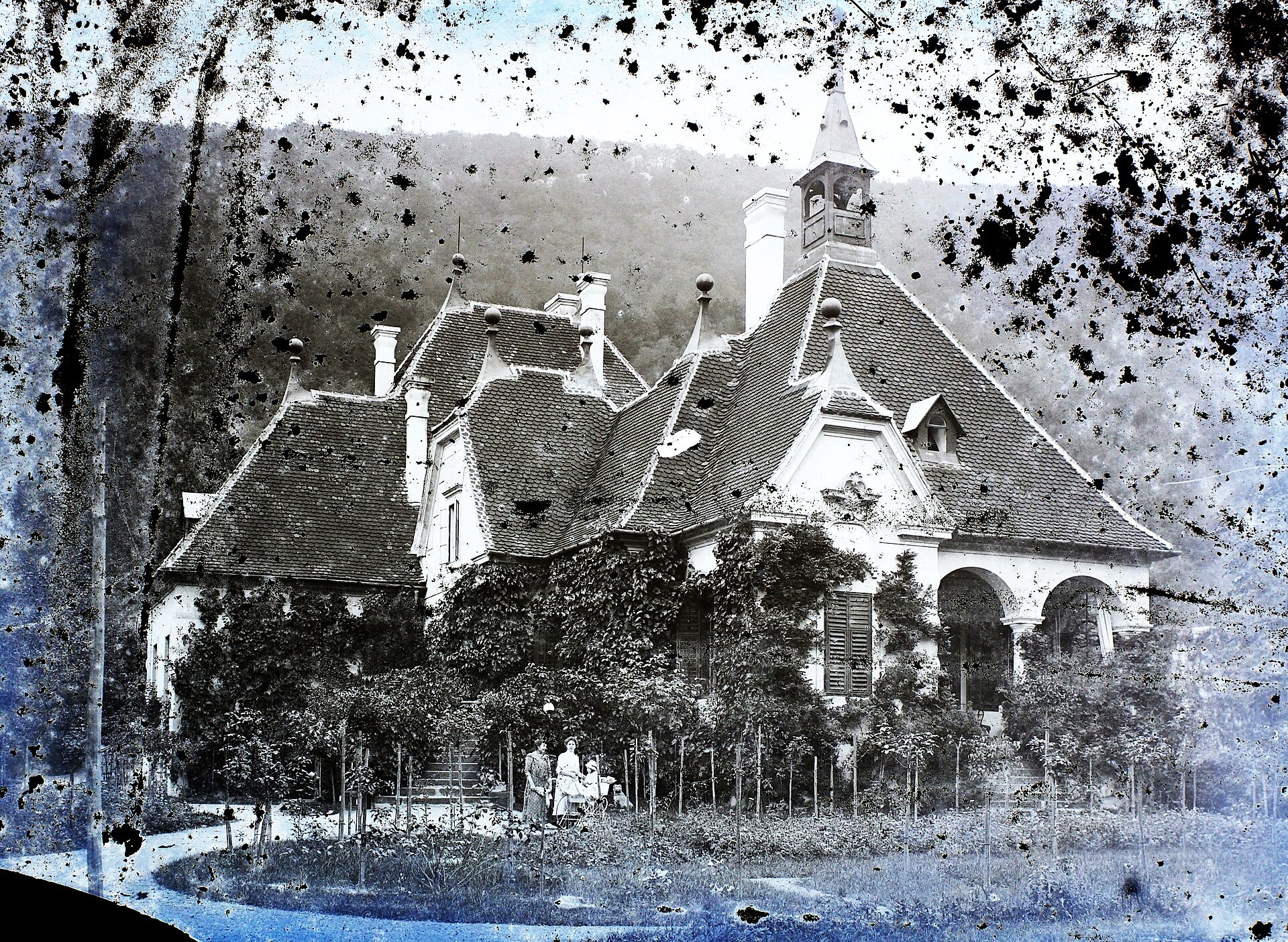
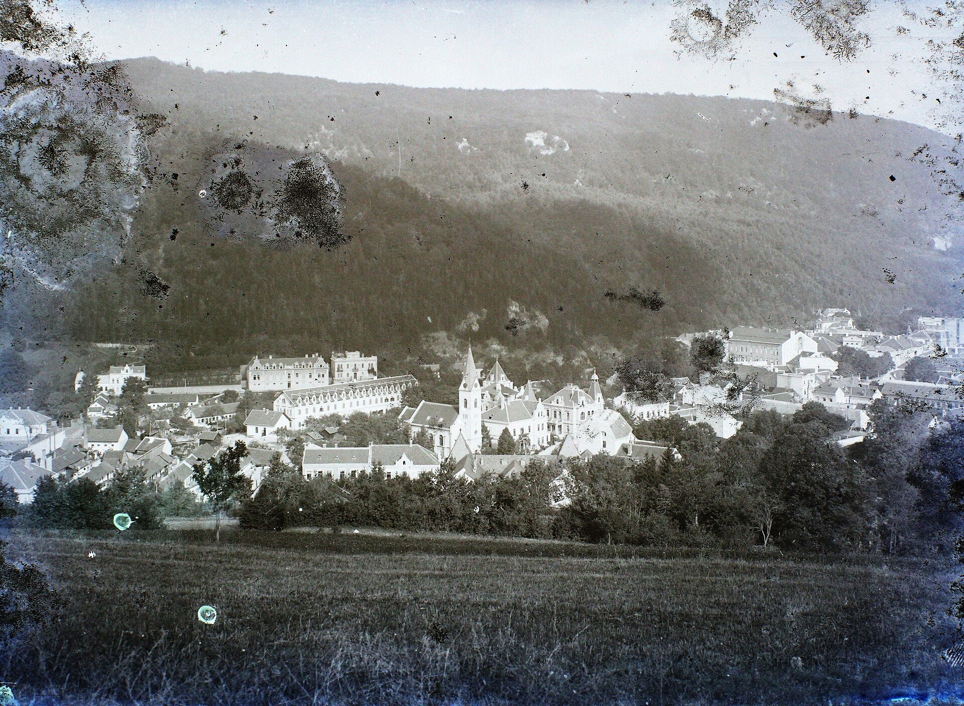
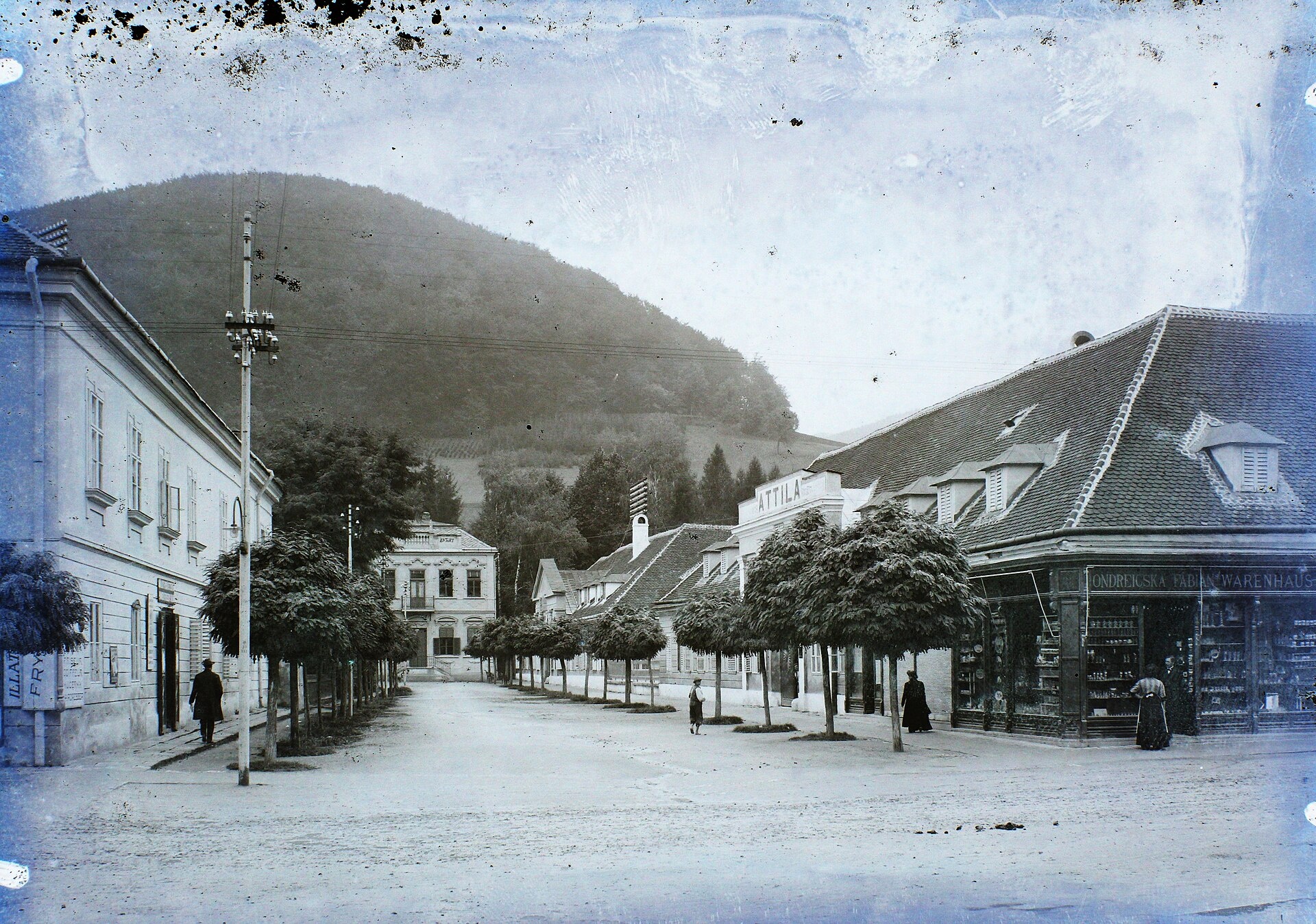
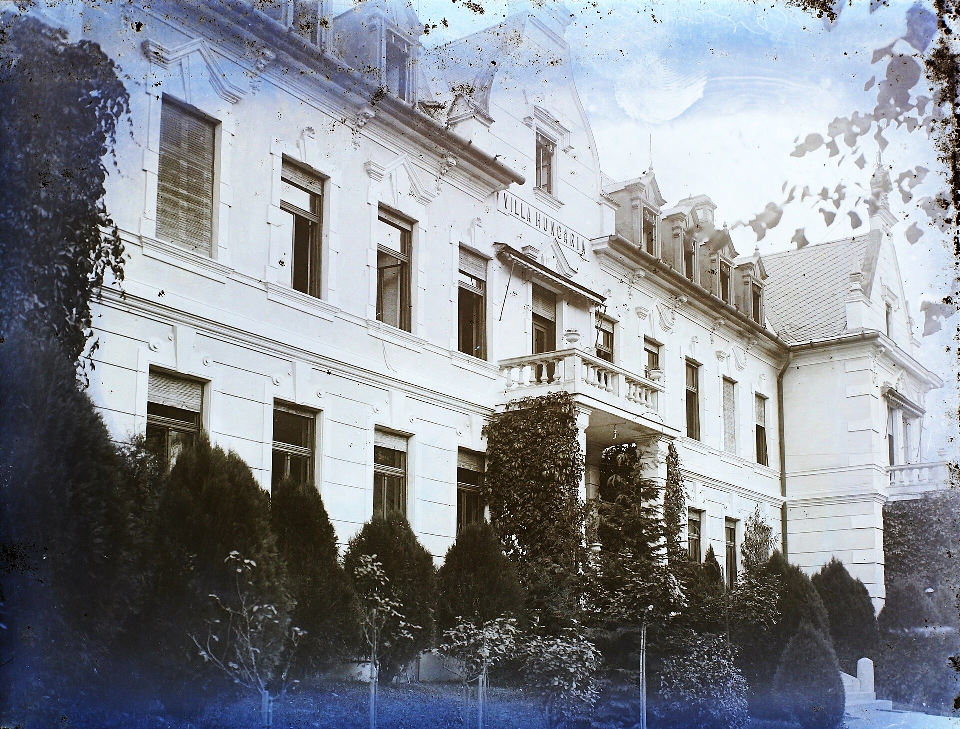
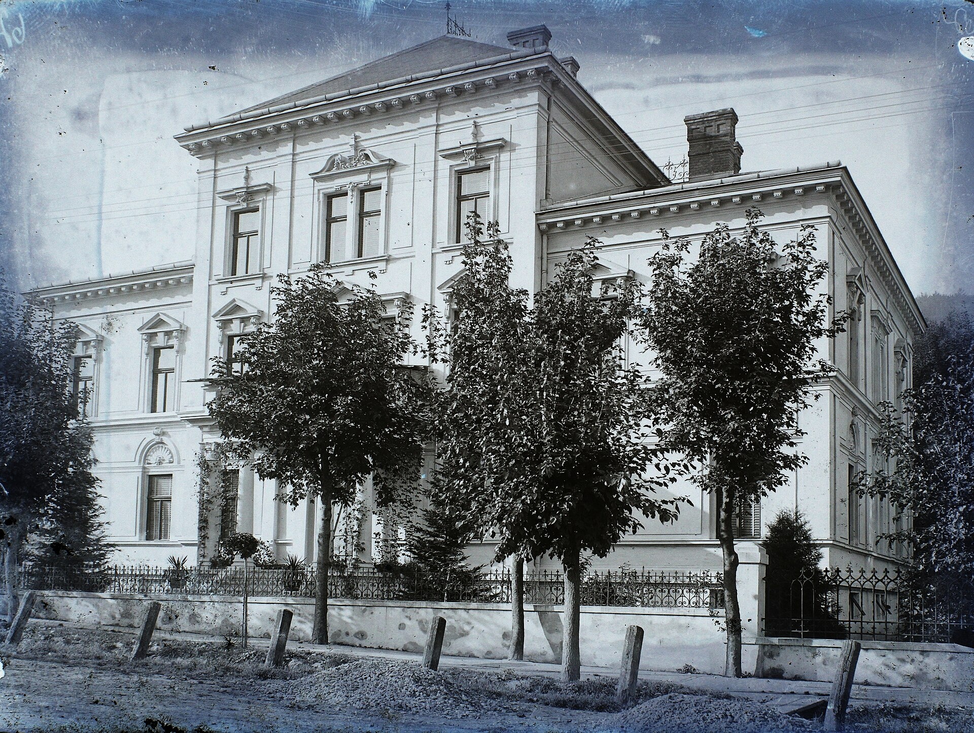
Photos: FOTO:Fortepan — ID 86521: Adományozó/Donor: Magyar Földrajzi Múzeum / Erdélyi Mór cége. archive copy at the Wayback M…, Public domain (Wikimedia Commons); FOTO:Fortepan — ID 86595: Adományozó/Donor: Magyar Földrajzi Múzeum / Erdélyi Mór cége. archive copy at the Wayback M…, Public domain (Wikimedia Commons); FOTO:Fortepan — ID 86631: Adományozó/Donor: Magyar Földrajzi Múzeum / Erdélyi Mór cége., Public domain (Wikimedia Commons); FOTO:Fortepan — ID 86685: Adományozó/Donor: Magyar Földrajzi Múzeum / Erdélyi Mór cége., Public domain (Wikimedia Commons); FOTO:Fortepan — ID 86989: Adományozó/Donor: Magyar Földrajzi Múzeum / Erdélyi Mór cége. archive copy at the Wayback M…, Public domain (Wikimedia Commons); Jakub257, CC BY-SA 3.0 (Wikimedia Commons)
Trenčianske Teplice is a spa town in western Slovakia, located in the valley of the Teplička River at the foothills of the Strážov Mountains. It belongs to the Trenčín District in the Trenčín Region and sits at an elevation of 276 metres above sea level. The town is surrounded by scenic Carpathian landscapes and is well known as a destination for relaxation and wellness.
The first written mention of Trenčianske Teplice dates back to 1379. In the 13th century, the area was known as terra Teplicza and belonged to the Cseszneky family. The town became a spa site in the 14th century and was owned by the Illésházy family from 1582. In 1835, Viennese financier Jozef Sina purchased the area and developed the spa. After World War II, the spa was nationalised.
Trenčianske Teplice is renowned for its sulphur thermal springs, which have long been used to treat diseases of the locomotive organs and nervous system. The spa is set in a natural environment protected from winds, and its architectural highlight is the late 19th-century hammam bath in the Sina spa house. The town also features a romantic English park with a pond, and in the past, it hosted the international Art Film Fest.
Visitors can enjoy wellness treatments at "Trenčianske Teplice: Hammam and Sulphur Thermal Baths". For those seeking outdoor activities, there are numerous hiking trails such as "Dubnica nad Váhom – Trenčianske Teplice", "Hlohovec – Trenčín, Hotel Elizabeth", and "Nová Dubnica – Kamenné vrata". In the surrounding mountains, huts like "Shelter under Ostrý vrch" and "Baské Shelter" offer opportunities for longer hikes and exploration of the Strážov Mountains.
Getting there from Ukraine
From Uzhhorod to Žilina is about 330 km, approximately 4 hours 20 minutes without queues: Uzhhorod – Vyšné Nemecké → I/19 to Košice → D1 via Prešov, Poprad, Liptovský Mikuláš and Ružomberok (about 17 km on I/18 between D1 sections) → Žilina. To Terchová about 314 km, 4 hours 15 minutes: from the D1 onto I/70 and II/583. From Lviv through Poland: M-10 → Krakovets – Korczowa → A4 to Kraków → S7/DK7 to Chyżne – Trstená → R3, I/59 to Dolný Kubín → II/583 via Terchová to Žilina: to Terchová about 493 km (about 6 h 30 min), to Žilina about 518 km (about 7 h). Via the tolled A4 Kraków – Katowice, S1 and D3: about 533 km, about 6 h 35 min. The D1 requires an e-vignette (eznamka.sk).
Sources: Wikipedia, Wikidata, OpenStreetMap, Karpaty.rocks data. More on Wikipedia
Trails nearby
All trails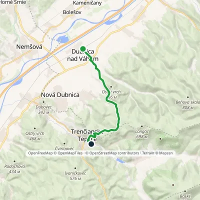 ModerateOne-dayMarkedDubnica nad Váhom Trenčianske TepliceElevation profile231–596 m10.5 kmascent 404 m≈ 3.5 h walkingunder 1 km from the centre
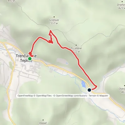 EasyOne-dayMarkedTrenčianske Teplice BaračkaElevation profile279–494 m2.9 kmascent 215 m≈ 1 h walkingunder 1 km from the centre
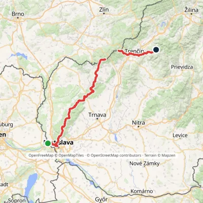 HardMulti-dayMarkedHrad Devín, parking Horná Poruba, U BrdárovElevation profile146–965 m190.1 kmascent 7 200 munder 1 km from the centre
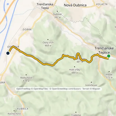 EasyOne-dayMarkedTrenčianske Teplice OpatováElevation profile218–481 m8.6 kmascent 236 m≈ 2.5 h walkingunder 1 km from the centre
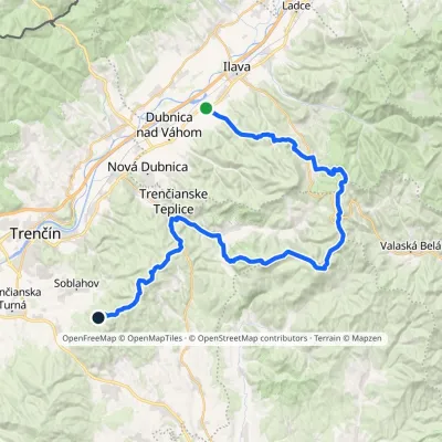 HardMulti-dayMarkedPrejta Hut under Ostrý vrchElevation profile247–955 m47.9 kmascent 2 010 munder 1 km from the centre
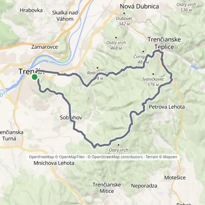 HardMulti-dayMarkedVladov Trail (marathon route)Elevation profile212–701 m33 kmascent 1 109 m≈ 10.5 h walkingunder 1 km from the centre
Peaks nearby
All peaks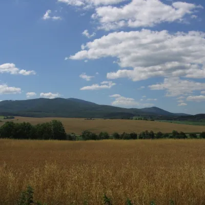 PeakInovecSelecaltitude 1 041 m18 km from the centreInovec (Polish Inowiec) is the highest summit of the Považský Inovec range in western Slovakia, at 1,041 m (more precisely 1,041.6 m).
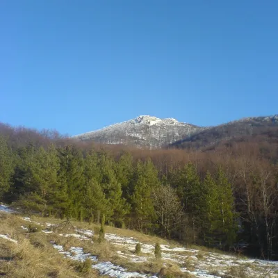 PeakStrážovZliechovaltitude 1 213 m22 km from the centreStrážov (Hungarian Sztrázsó) is the highest summit of the Strážov Mountains, 1213.3 m high (local signs often say 1215 m).
What to visit
AllCraft nearby
All craft places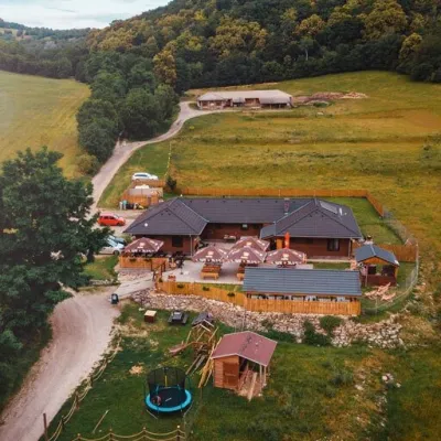 Cheese dairies & pasturesSalaš Beckov: 100% sheep’s cheese and bryndza dumplingsBeckov25 km from the centreA sheep salaš beside one of the Váh valley’s finest castles Beckov is a village in the Váh valley between Nové Mesto nad Váhom and Trenčín, overlooked by the ruins of...
 Cheese dairies & pasturesSalaš Pružina: 100% sheep’s bryndza in the Strážov HillsPružina26 km from the centrePružina is a village in a picturesque valley of the Strážov Hills (Strážovské vrchy) west of Považská Bystrica.
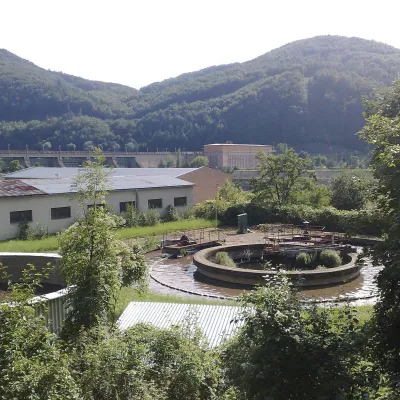 Water parks & thermal poolsNimnica: a mineral-water spa above the Nosice reservoirNimnica29 km from the centreNimnica is one of Slovakia's youngest spas, in the Váh valley between Púchov and Považská Bystrica. Its spa houses stand at about 300 m on a wooded spur of the...
Spas and thermal pools nearby
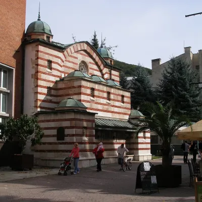 Water parks & thermal poolsTrenčianske Teplice: the Hammam and sulphur thermal bathsTrenčianske Tepliceunder 1 km from the centreTrenčianske Teplice is one of Slovakia's oldest spas, squeezed into a narrow wooded valley of the Strážov Mountains not far from Trenčín.Water parks & thermal poolsNimnica: a mineral-water spa above the Nosice reservoirNimnica29 km from the centreNimnica is one of Slovakia's youngest spas, in the Váh valley between Púchov and Považská Bystrica. Its spa houses stand at about 300 m on a wooded spur of the...
Huts, shelters and springs nearby
Getting there from Ukraine
Border crossings
- Uzhhorod – Vyšné Nemecké — road, 24/7
- Malyi Bereznyi – Ubľa — road, 24/7 For cars and buses; pedestrians not confirmed by the Ukrainian border service, lorries up to 3.5 t.
- Mali Selmentsi – Veľké Slemence (pedestrian) — pedestrian, 09:00–21:00 Kyiv time Pedestrians and cyclists only; inconvenient for the Tatras without onward transport.
- Chop – Čierna nad Tisou (rail) — rail, 24/7
By car
From Uzhhorod to Žilina ≈330 km, ≈4 h 20 min without queues: Uzhhorod – Vyšné Nemecké → I/19 to Košice → D1 via Prešov, Poprad, Liptovský Mikuláš and Ružomberok (≈17 km on I/18 between D1 sections) → Žilina. To Terchová ≈314 km, ≈4 h 15 min: from the D1 onto I/70 and II/583. From Lviv through Poland: M-10 → Krakovets – Korczowa → A4 to Kraków → S7/DK7 to Chyżne – Trstená → R3, I/59 to Dolný Kubín → II/583 via Terchová to Žilina: to Terchová ≈493 km (≈6 h 30 min), to Žilina ≈518 km (≈7 h). Via the tolled A4 Kraków – Katowice, S1 and D3: ≈533 km, ≈6 h 35 min. The D1 requires an e-vignette (eznamka.sk).
Checked 23.10.2026; border crossing hours and timetables change — check before you travel.
