Bojnice
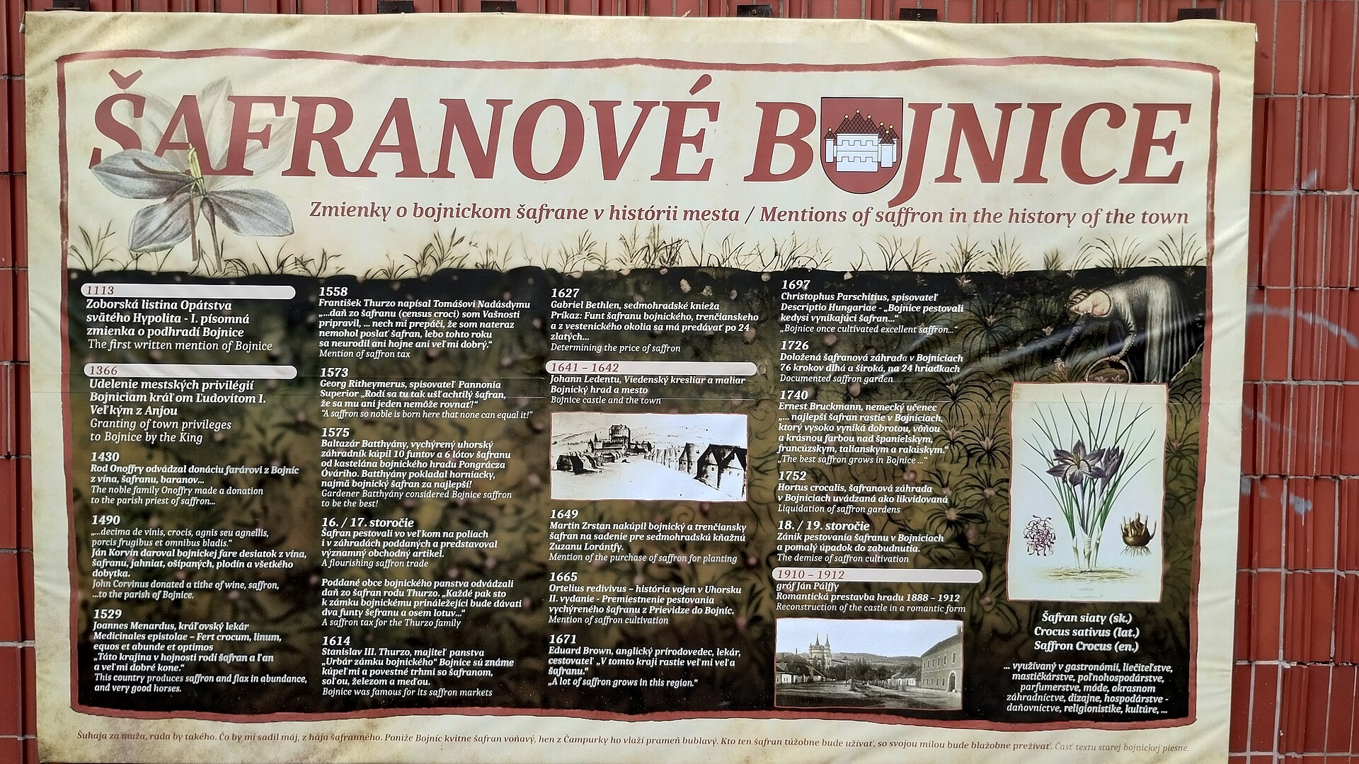
Photos: Branik P, CC BY-SA 3.0 (Wikimedia Commons); Juraj Habaj, CC BY-SA 3.0 (Wikimedia Commons); Michal Jakubský, CC BY 3.0 (Wikimedia Commons); Axel Cotón Gutiérrez, CC BY-SA 4.0 (Wikimedia Commons); Pilifo, CC0 (Wikimedia Commons)
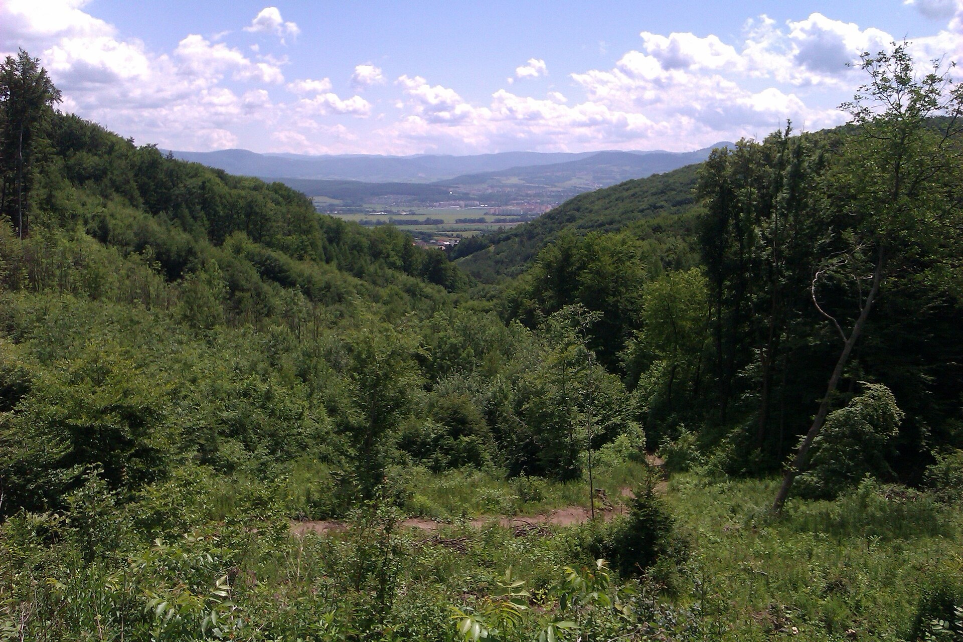
Bojnice is a town in the Trenčín Region of Slovakia, within the Prievidza District. It lies at an elevation of 291 metres, nestled at the foot of the Strážov Mountains and the eastern slopes of Malá Magura. The town is adjacent to Prievidza, with which it shares a public transport system, and is surrounded by scenic forested hills and natural beauty.
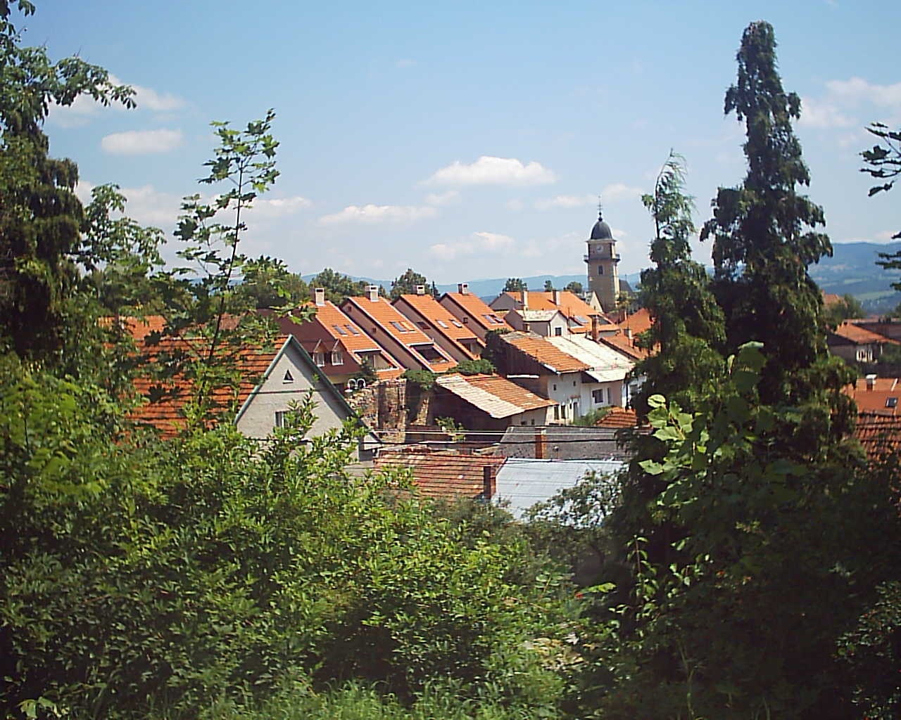
The first written mention of Bojnice dates back to 1113, when it was recorded as a settlement under the castle. Archaeological findings indicate that the area was inhabited as early as the Paleolithic era. Bojnice was granted town privileges in 1366 and developed as an administrative and trading centre over the centuries.
Bojnice is best known for its remarkable castle, a national cultural monument of Slovakia, often called the "castle of ghosts." The castle, surrounded by a park and botanical garden, is a major attraction. The town also hosts one of the largest zoos in Europe and is renowned for its spa, which has operated since the 16th century and uses thermal sulphur springs. The mild, temperate continental climate and picturesque surroundings attract visitors year-round.
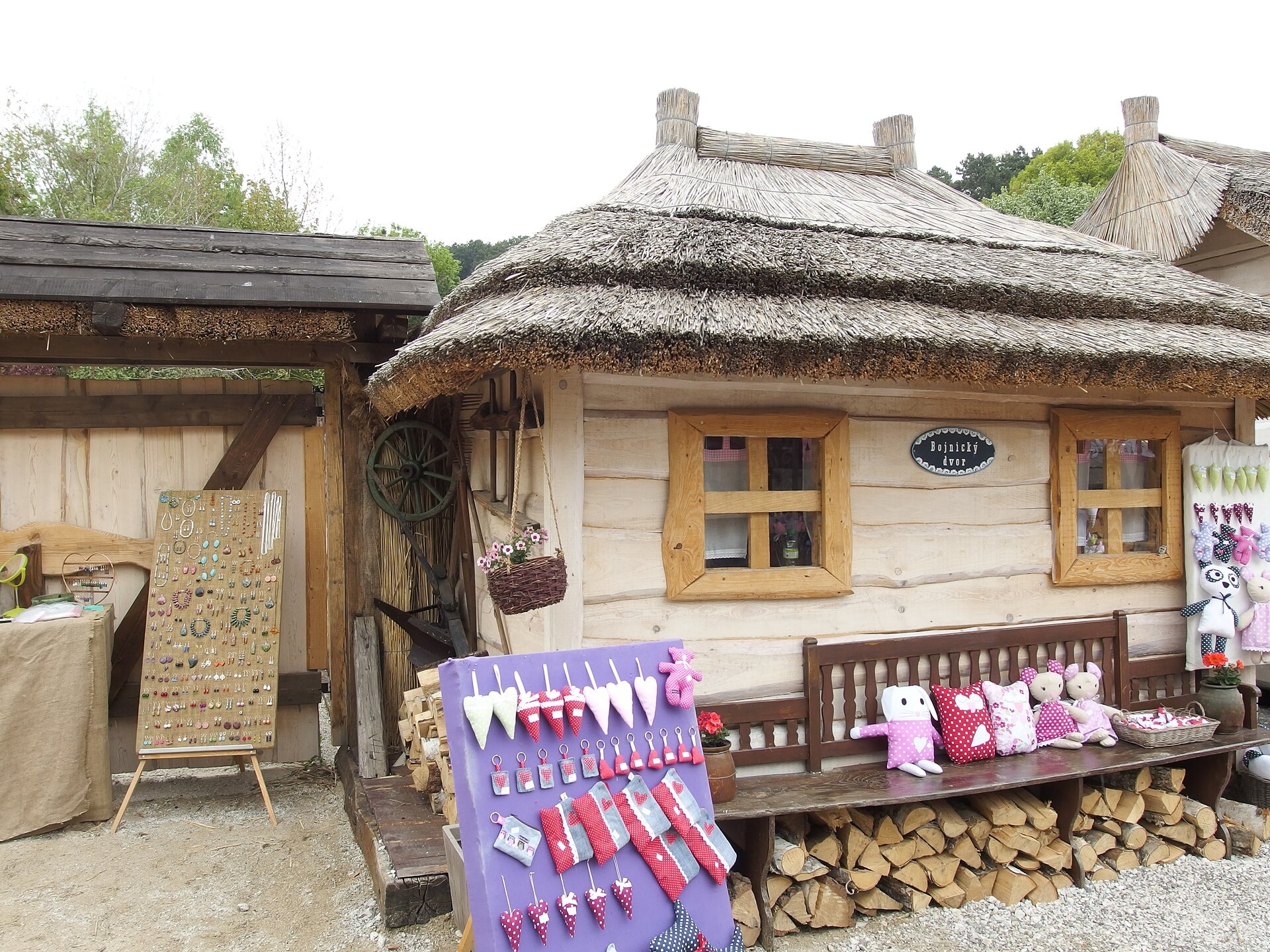
Visitors can explore the Bojnice Castle — a museum of the Slovak National Museum, stroll through the park and botanical garden, and visit the castle cave. The Bojnice Spa offers thermal springs, pools, and wellness treatments. Nature lovers can choose from numerous hiking trails such as "Bojnice, hospital – Bohatka shelter," "Bojnice, square – Javorinka saddle," "Via Magna," and "Bojnice, spa – Saint Vendelin." For craft beer enthusiasts, the Panská brewery in Bojnice is worth a visit.
Getting there from Ukraine
From Uzhhorod to Žilina is about 330 km (approx. 4 h 20 min without queues): Uzhhorod – Vyšné Nemecké → I/19 to Košice → D1 via Prešov, Poprad, Liptovský Mikuláš and Ružomberok (about 17 km on I/18 between D1 sections) → Žilina. To Terchová about 314 km (approx. 4 h 15 min): from the D1 onto I/70 and II/583. From Lviv via Poland: M-10 → Krakovets – Korczowa → A4 to Kraków → S7/DK7 to Chyżne – Trstená → R3, I/59 to Dolný Kubín → II/583 via Terchová to Žilina: to Terchová about 493 km (approx. 6 h 30 min), to Žilina about 518 km (approx. 7 h). Via the tolled A4 Kraków – Katowice, S1 and D3: about 533 km, approx. 6 h 35 min. The D1 requires an e-vignette (eznamka.sk).
Sources: Wikipedia, Wikidata, OpenStreetMap, Karpaty.rocks data. More on Wikipedia
Trails nearby
All trails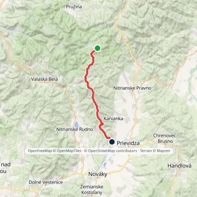 HardTwo-dayMarkedBojnice, square Sedlo JavorinkaElevation profile302–1 146 m24.4 kmascent 842 m≈ 8 h walkingunder 1 km from the centre
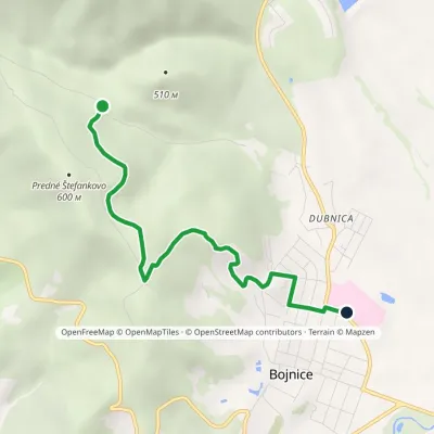 EasyOne-dayMarkedBojnice, hospital Bohatka HutElevation profile288–543 m4.8 kmascent 88 m≈ 1.5 h walkingunder 1 km from the centre
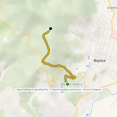 EasyOne-dayMarkedBojnice spa St. VendelínElevation profile306–504 m2.6 kmascent 197 m≈ 1 h walkingunder 1 km from the centre
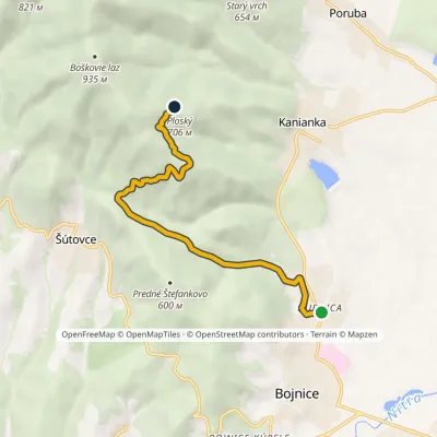 EasyOne-dayMarkedBojnice, Dubnica PlešinaElevation profile283–719 m7 kmascent 435 m≈ 2.5 h walking1.3 km from the centre
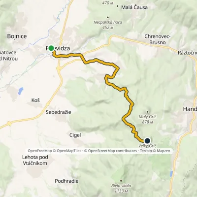 ModerateOne-dayMarkedPrievidza Veľký GričElevation profile266–976 m15.5 kmascent 771 m≈ 5.5 h walking2.6 km from the centre
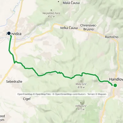 ModerateOne-dayMarkedPrievidza Handlová, SquareElevation profile266–753 m15.9 kmascent 334 m≈ 4.5 h walking2.6 km from the centre
Peaks nearby
All peaks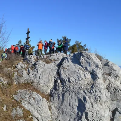 PeakVyšehradJasenovoaltitude 829 m14 km from the centreVyšehrad (Polish Wyszogród) is a prominent summit 829 m high on the main ridge of the Žiar Mountains in central Slovakia.
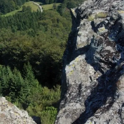 PeakBuchlov (Vtáčnik)Čereňanyaltitude 1 040 m19 km from the centreBuchlov is a prominent rocky peak, 1,040 m high, in the Vtáčnik mountains of central Slovakia. It should not be confused with the castle hill of the same name in the...
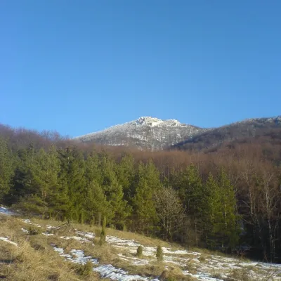 PeakStrážovZliechovaltitude 1 213 m21 km from the centreStrážov (Hungarian Sztrázsó) is the highest summit of the Strážov Mountains, 1213.3 m high (local signs often say 1215 m).
What to visit
All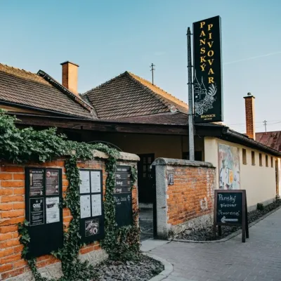 Craft beer & breweriesPanský pivovar Bojnice: unfiltered craft beer below the castleBojniceunder 1 km from the centreBojnice is a spa town in the upper Nitra valley at the foot of the Strážov Hills, famous for the fairy-tale castle of the Pálffy family.
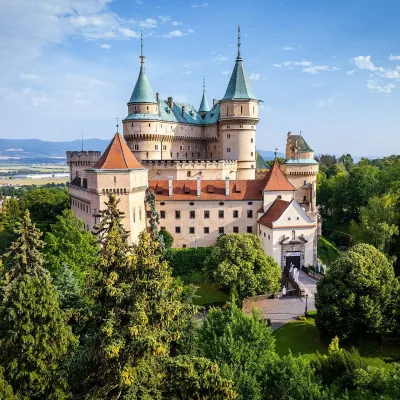 MuseumBojnice Castle — Slovak National MuseumBojniceunder 1 km from the centreBojnice Castle (Bojnický zámok) rises on a travertine mound above the spa town of Bojnice near Prievidza, in the upper Nitra valley.
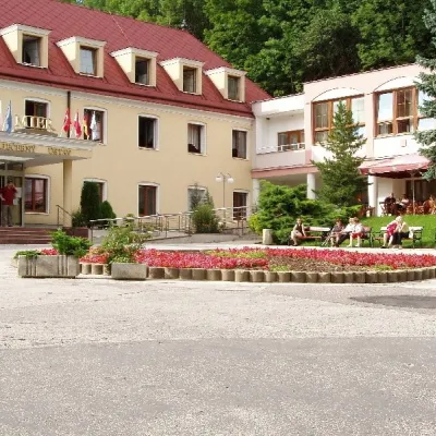 Water parks & thermal poolsBojnice Spa: thermal springs, pools and treatmentsBojniceunder 1 km from the centreBojnice Spa (Kúpele Bojnice) lies on the edge of the town of Bojnice, about 3 km from Prievidza, in the Upper Nitra basin – at the eastern foot of the Malá Magura...
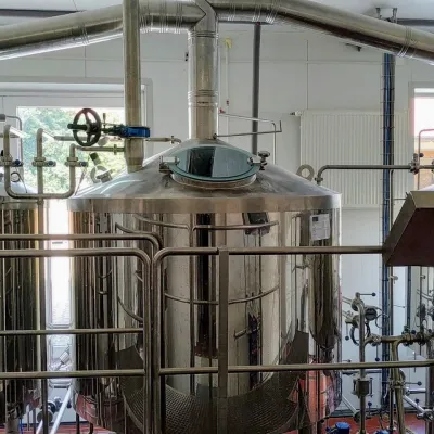 Craft beer & breweriesGalgenberg brewery in Nitrianske Pravno: tour and beer from the tankNitrianske Pravno11 km from the centreNitrianske Pravno is a large village at the northern end of the Upper Nitra basin, 12 km from Prievidza, where the river Nitra leaves the Malá Magura and Žiar hills.
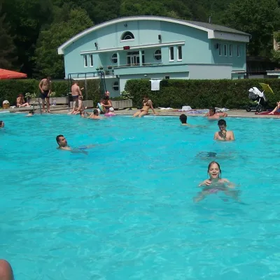 Water parks & thermal poolsChalmová Thermal Pool near PrievidzaBystričany14 km from the centreChalmová Thermal Pool (Termálne kúpalisko Chalmová) is a public pool complex in the village of Chalmová, part of the municipality of Bystričany, about 14 km south of...
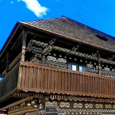 MuseumRaden's House in Čičmany — Museum of the Painted Log HousesČičmany20 km from the centreČičmany is a mountain village in a basin of the Strážov Hills, close to the source of the Rajčanka river, and the highest-lying village in Žilina District.
Craft nearby
All craft places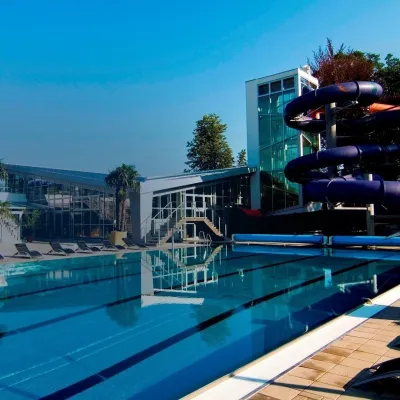 Water parks & thermal poolsSpa & Aquapark Turčianske TepliceTurčianske Teplice22 km from the centreTurčianske Teplice is one of Slovakia’s oldest spa towns. Its warm springs were first mentioned in 1281 in a deed of gift by King Ladislaus IV, and from 1533 they...
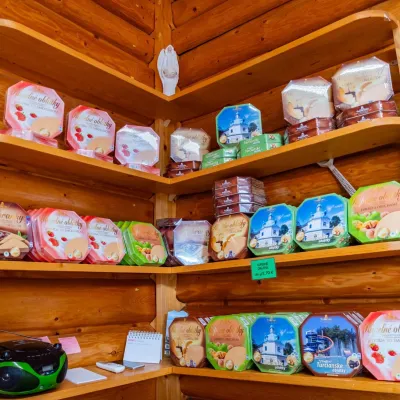 Cheese dairies & pasturesTuriec bryndza dairy, Turčianske Teplice: bryndza since 1917Turčianske Teplice22 km from the centreMore than a hundred years of Turiec bryndza Turiec is a wide basin between the ridges of the Veľká and Malá Fatra, a land of pastures and old sheep farming.
 Craft producersKremnica gingerbread: the Haurík family bakery since 1922Kremnica26 km from the centreKremnica is an old mining town in the Kremnica Mountains where coins have been struck for more than six centuries.
Spas and thermal pools nearby
Water parks & thermal poolsBojnice Spa: thermal springs, pools and treatmentsBojniceunder 1 km from the centreBojnice Spa (Kúpele Bojnice) lies on the edge of the town of Bojnice, about 3 km from Prievidza, in the Upper Nitra basin – at the eastern foot of the Malá Magura...Water parks & thermal poolsChalmová Thermal Pool near PrievidzaBystričany14 km from the centreChalmová Thermal Pool (Termálne kúpalisko Chalmová) is a public pool complex in the village of Chalmová, part of the municipality of Bystričany, about 14 km south of...Water parks & thermal poolsSpa & Aquapark Turčianske TepliceTurčianske Teplice22 km from the centreTurčianske Teplice is one of Slovakia’s oldest spa towns. Its warm springs were first mentioned in 1281 in a deed of gift by King Ladislaus IV, and from 1533 they...Huts, shelters and springs nearby
Getting there from Ukraine
Border crossings
- Uzhhorod – Vyšné Nemecké — road, 24/7
- Malyi Bereznyi – Ubľa — road, 24/7 For cars and buses; pedestrians not confirmed by the Ukrainian border service, lorries up to 3.5 t.
- Mali Selmentsi – Veľké Slemence (pedestrian) — pedestrian, 09:00–21:00 Kyiv time Pedestrians and cyclists only; inconvenient for the Tatras without onward transport.
- Chop – Čierna nad Tisou (rail) — rail, 24/7
By car
From Uzhhorod to Žilina ≈330 km, ≈4 h 20 min without queues: Uzhhorod – Vyšné Nemecké → I/19 to Košice → D1 via Prešov, Poprad, Liptovský Mikuláš and Ružomberok (≈17 km on I/18 between D1 sections) → Žilina. To Terchová ≈314 km, ≈4 h 15 min: from the D1 onto I/70 and II/583. From Lviv through Poland: M-10 → Krakovets – Korczowa → A4 to Kraków → S7/DK7 to Chyżne – Trstená → R3, I/59 to Dolný Kubín → II/583 via Terchová to Žilina: to Terchová ≈493 km (≈6 h 30 min), to Žilina ≈518 km (≈7 h). Via the tolled A4 Kraków – Katowice, S1 and D3: ≈533 km, ≈6 h 35 min. The D1 requires an e-vignette (eznamka.sk).
Checked 23.10.2026; border crossing hours and timetables change — check before you travel.
