Kľačno
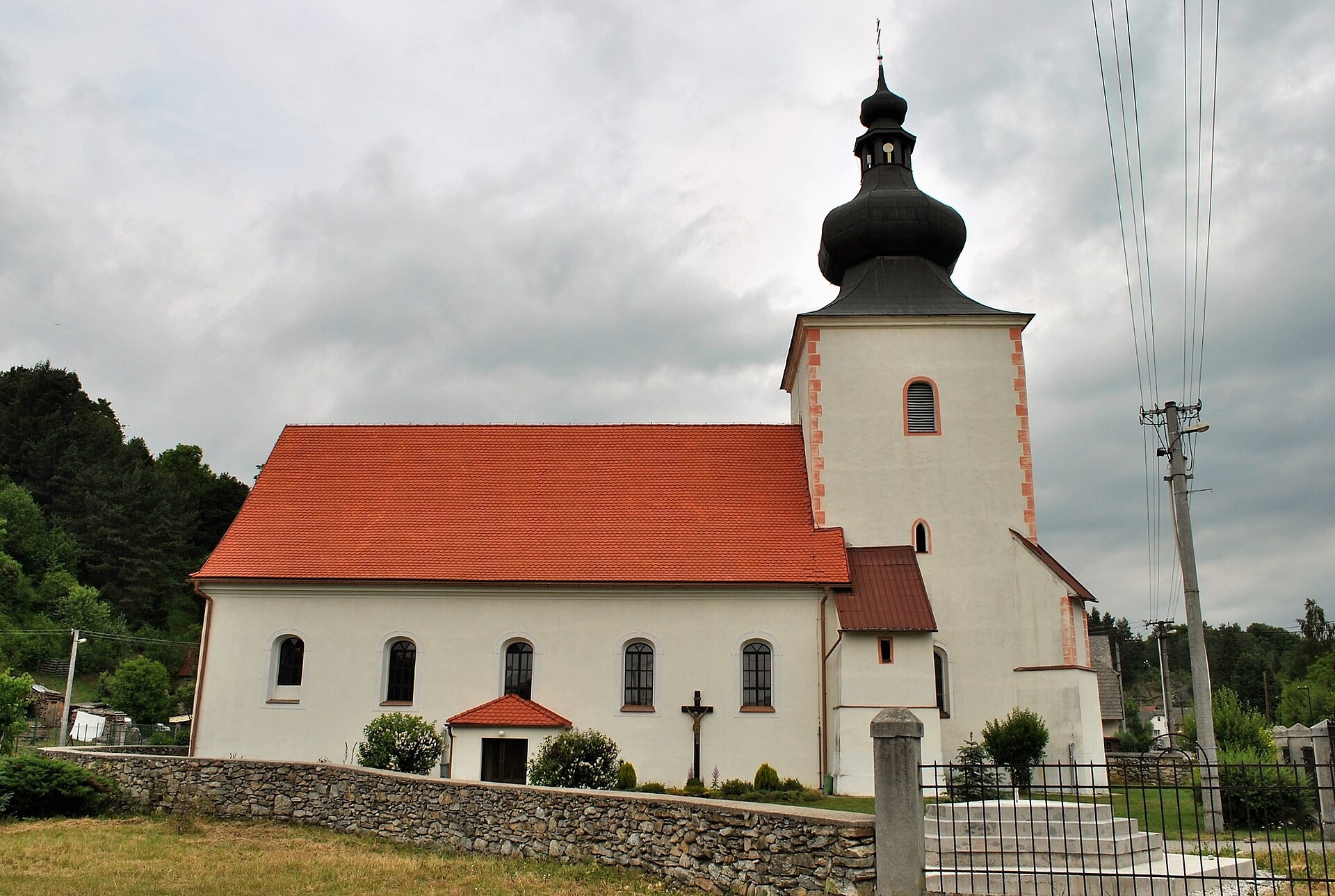
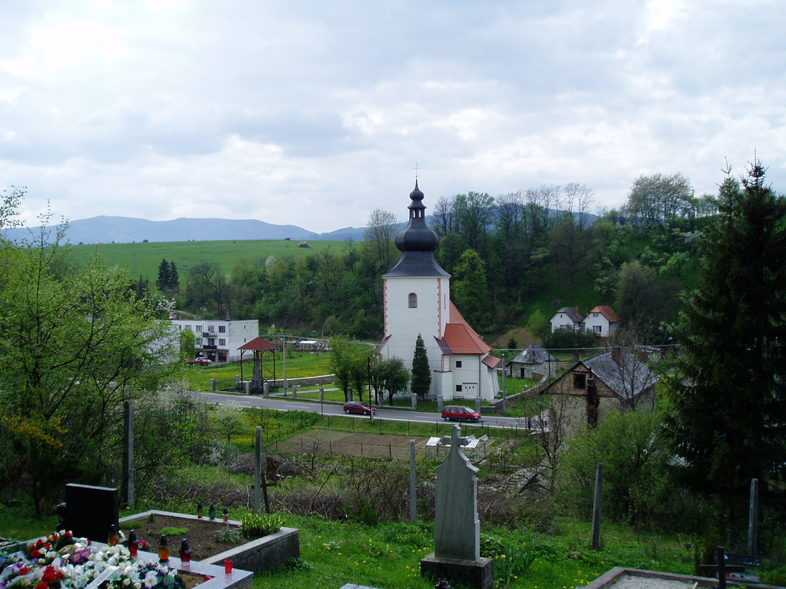
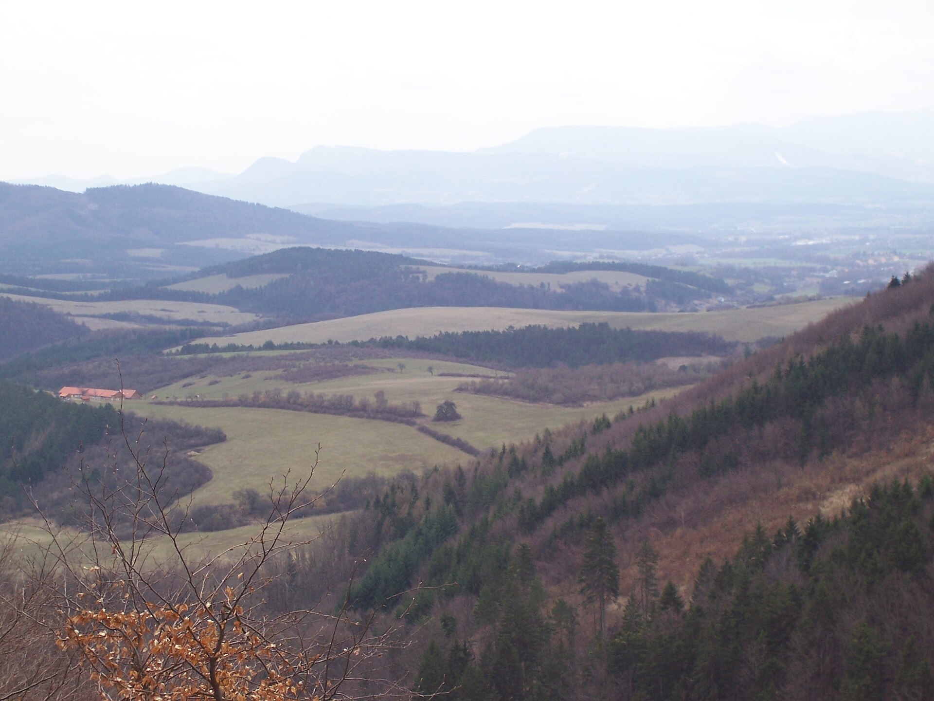
Photos: Patrik Kunec, CC BY-SA 4.0 (Wikimedia Commons); Pavol Steinecker, CC BY 3.0 (Wikimedia Commons); Branik P, CC BY-SA 3.0 (Wikimedia Commons)
Kľačno is a village in Slovakia.
Elevation: about 400 m above sea level. Population: 1,074 (2025). Mountains nearby: Strážov Mountains.
Here and nearby on the site: 1 trail.
Facts: Wikidata, OpenStreetMap. More on Wikipedia
Trails nearby
All trails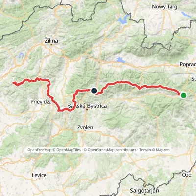 HardMulti-dayMarkedHorná Poruba, U Brdárov Pred ČuntavouElevation profile309–2 004 m241.6 kmascent 15 694 m3.1 km from the centre
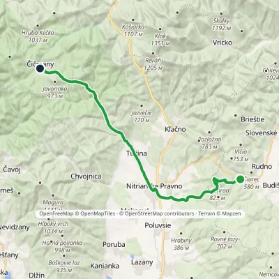 HardTwo-dayMarkedČičmany JasenovoElevation profile333–829 m23.8 kmascent 810 m≈ 7.5 h walking3.5 km from the centre
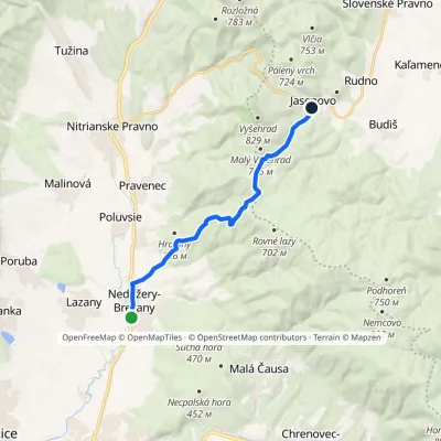 ModerateOne-dayMarkedVia MagnaElevation profile291–699 m11.1 kmascent 419 m≈ 3.5 h walking6 km from the centre
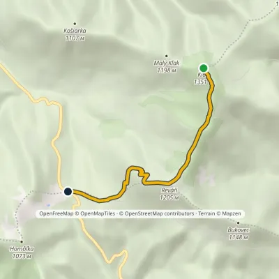 EasyOne-dayMarkedChodník Zoltána KissaElevation profile797–1 351 m4.6 kmascent 20 m≈ 1 h walking6.3 km from the centre
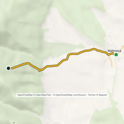 EasyOne-dayMarkedMalinová RoveňElevation profile344–691 m3.8 kmascent 347 m≈ 1.5 h walking7 km from the centre
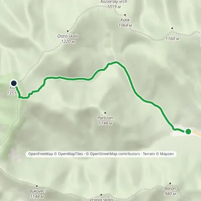 EasyOne-dayMarkedVrícko KľakElevation profile599–1 351 m5.8 kmascent 753 m≈ 3 h walking7.3 km from the centre
Peaks nearby
All peaks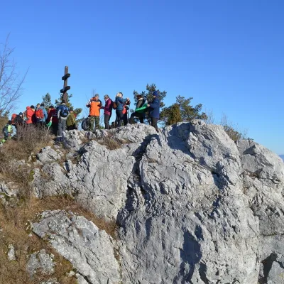 PeakVyšehradJasenovoaltitude 829 m5 km from the centreVyšehrad (Polish Wyszogród) is a prominent summit 829 m high on the main ridge of the Žiar Mountains in central Slovakia.
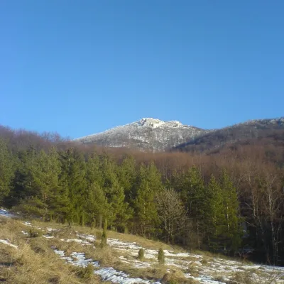 PeakStrážovZliechovaltitude 1 213 m15 km from the centreStrážov (Hungarian Sztrázsó) is the highest summit of the Strážov Mountains, 1213.3 m high (local signs often say 1215 m).
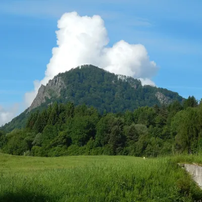 PeakVeľký GričHandlováaltitude 971 m22 km from the centreVeľký Grič (German Donnerstein) is a striking, partly rocky mountain 971 m high in the volcanic Vtáčnik range in central Slovakia.
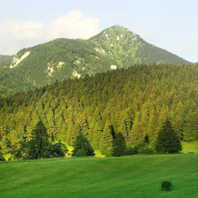 PeakDrienokBlatnicaaltitude 1 268 m22 km from the centreDrienok (formerly Drieňok) is a 1268 m limestone and dolomite summit in the south-western part of the Slovak Veľká Fatra.
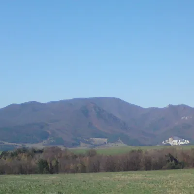 PeakRokošNitrianske Rudnoaltitude 1 010 m22 km from the centreRokoš is a 1010 m mountain, the second-highest peak of the Nitrické vrchy, part of the Strážov Mountains (Strážovské vrchy) in western Slovakia.
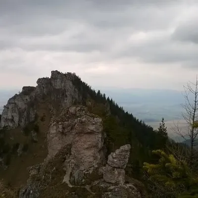 PeakOstráBlatnicaaltitude 1 259 m23 km from the centreOstrá (Slovak for sharp) is one of the most striking and best-loved peaks of Slovakia’s Greater Fatra.
What to visit
All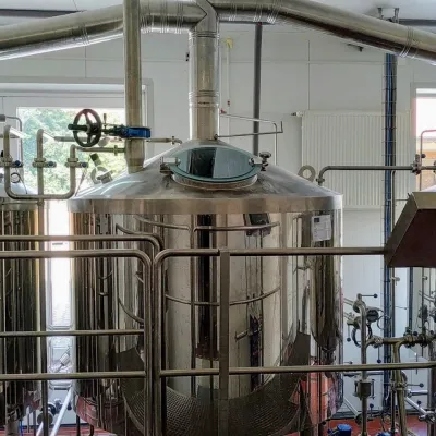 Craft beer & breweriesGalgenberg brewery in Nitrianske Pravno: tour and beer from the tankNitrianske Pravno4.7 km from the centreNitrianske Pravno is a large village at the northern end of the Upper Nitra basin, 12 km from Prievidza, where the river Nitra leaves the Malá Magura and Žiar hills.
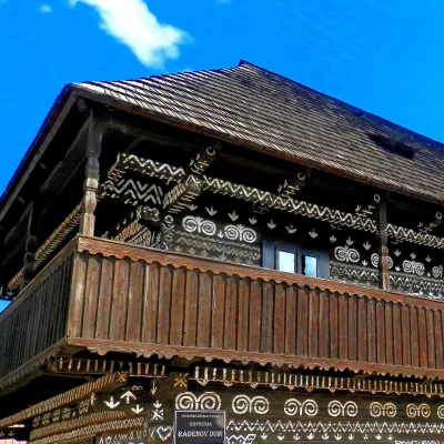 MuseumRaden's House in Čičmany — Museum of the Painted Log HousesČičmany11 km from the centreČičmany is a mountain village in a basin of the Strážov Hills, close to the source of the Rajčanka river, and the highest-lying village in Žilina District.
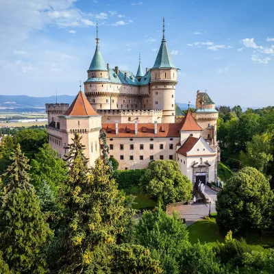 MuseumBojnice Castle — Slovak National MuseumBojnice16 km from the centreBojnice Castle (Bojnický zámok) rises on a travertine mound above the spa town of Bojnice near Prievidza, in the upper Nitra valley.
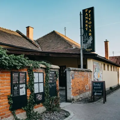 Craft beer & breweriesPanský pivovar Bojnice: unfiltered craft beer below the castleBojnice16 km from the centreBojnice is a spa town in the upper Nitra valley at the foot of the Strážov Hills, famous for the fairy-tale castle of the Pálffy family.
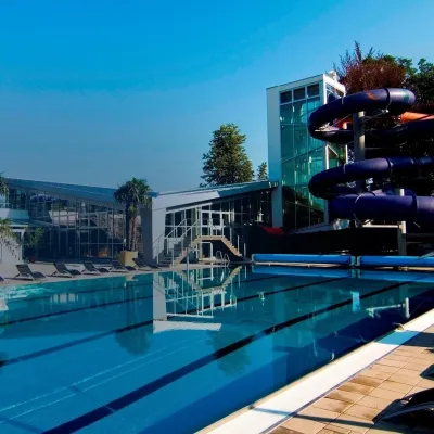 Water parks & thermal poolsSpa & Aquapark Turčianske TepliceTurčianske Teplice16 km from the centreTurčianske Teplice is one of Slovakia’s oldest spa towns. Its warm springs were first mentioned in 1281 in a deed of gift by King Ladislaus IV, and from 1533 they...
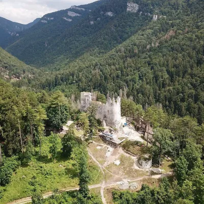 CastleBlatnica Castle and the Gader ValleyBlatnica22 km from the centreBlatnica Castle (Blatnický hrad) is a medieval ruin on the low but sharp limestone ridge of Plešovica (658 m), which separates the Gader valley (Gaderská dolina) from...
Craft nearby
All craft places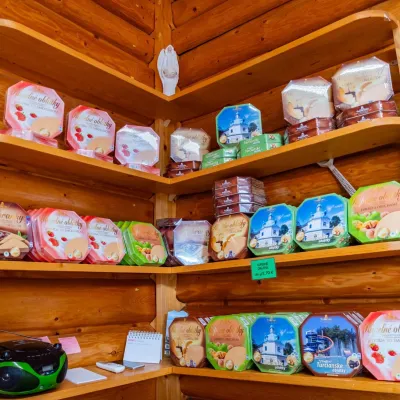 Cheese dairies & pasturesTuriec bryndza dairy, Turčianske Teplice: bryndza since 1917Turčianske Teplice16 km from the centreMore than a hundred years of Turiec bryndza Turiec is a wide basin between the ridges of the Veľká and Malá Fatra, a land of pastures and old sheep farming.
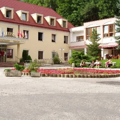 Water parks & thermal poolsBojnice Spa: thermal springs, pools and treatmentsBojnice16 km from the centreBojnice Spa (Kúpele Bojnice) lies on the edge of the town of Bojnice, about 3 km from Prievidza, in the Upper Nitra basin – at the eastern foot of the Malá Magura...
 Cheese dairies & pasturesSalaš Pružina: 100% sheep’s bryndza in the Strážov HillsPružina18 km from the centrePružina is a village in a picturesque valley of the Strážov Hills (Strážovské vrchy) west of Považská Bystrica.
 Water parks & thermal poolsSpa Aphrodite thermal pools, Rajecké TepliceRajecké Teplice24 km from the centreHot mineral water rises here, and it feeds the Spa Aphrodite resort, whose thermal pools, saunas and Natural Spa zone are open not only to patients but to anyone with...
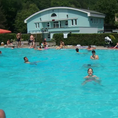 Water parks & thermal poolsChalmová Thermal Pool near PrievidzaBystričany29 km from the centreChalmová Thermal Pool (Termálne kúpalisko Chalmová) is a public pool complex in the village of Chalmová, part of the municipality of Bystričany, about 14 km south of...
 Craft producersKremnica gingerbread: the Haurík family bakery since 1922Kremnica30 km from the centreKremnica is an old mining town in the Kremnica Mountains where coins have been struck for more than six centuries.
Spas and thermal pools nearby
Water parks & thermal poolsSpa & Aquapark Turčianske TepliceTurčianske Teplice16 km from the centreTurčianske Teplice is one of Slovakia’s oldest spa towns. Its warm springs were first mentioned in 1281 in a deed of gift by King Ladislaus IV, and from 1533 they...Water parks & thermal poolsBojnice Spa: thermal springs, pools and treatmentsBojnice16 km from the centreBojnice Spa (Kúpele Bojnice) lies on the edge of the town of Bojnice, about 3 km from Prievidza, in the Upper Nitra basin – at the eastern foot of the Malá Magura...Water parks & thermal poolsSpa Aphrodite thermal pools, Rajecké TepliceRajecké Teplice24 km from the centreHot mineral water rises here, and it feeds the Spa Aphrodite resort, whose thermal pools, saunas and Natural Spa zone are open not only to patients but to anyone with...Huts, shelters and springs nearby
Getting there from Ukraine
Border crossings
- Uzhhorod – Vyšné Nemecké — road, 24/7
- Malyi Bereznyi – Ubľa — road, 24/7 For cars and buses; pedestrians not confirmed by the Ukrainian border service, lorries up to 3.5 t.
- Mali Selmentsi – Veľké Slemence (pedestrian) — pedestrian, 09:00–21:00 Kyiv time Pedestrians and cyclists only; inconvenient for the Tatras without onward transport.
- Chop – Čierna nad Tisou (rail) — rail, 24/7
By car
From Uzhhorod to Žilina ≈330 km, ≈4 h 20 min without queues: Uzhhorod – Vyšné Nemecké → I/19 to Košice → D1 via Prešov, Poprad, Liptovský Mikuláš and Ružomberok (≈17 km on I/18 between D1 sections) → Žilina. To Terchová ≈314 km, ≈4 h 15 min: from the D1 onto I/70 and II/583. From Lviv through Poland: M-10 → Krakovets – Korczowa → A4 to Kraków → S7/DK7 to Chyżne – Trstená → R3, I/59 to Dolný Kubín → II/583 via Terchová to Žilina: to Terchová ≈493 km (≈6 h 30 min), to Žilina ≈518 km (≈7 h). Via the tolled A4 Kraków – Katowice, S1 and D3: ≈533 km, ≈6 h 35 min. The D1 requires an e-vignette (eznamka.sk).
Checked 23.10.2026; border crossing hours and timetables change — check before you travel.
