Veľký Grič
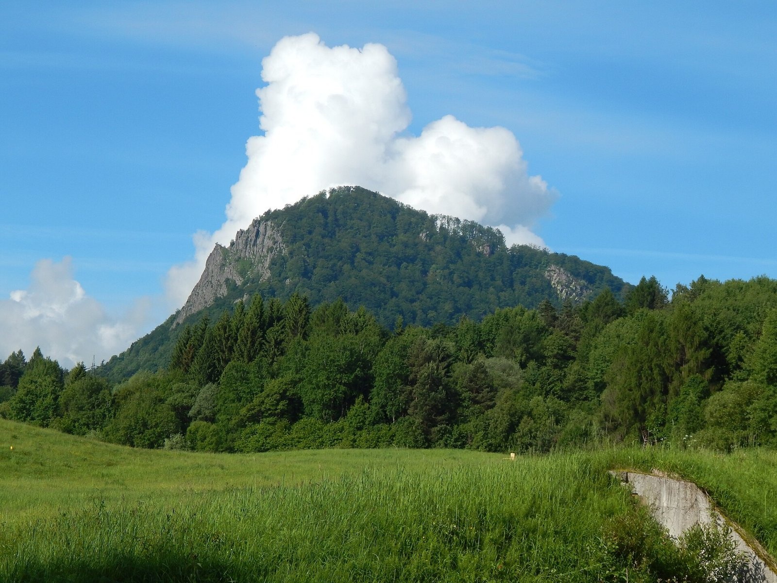
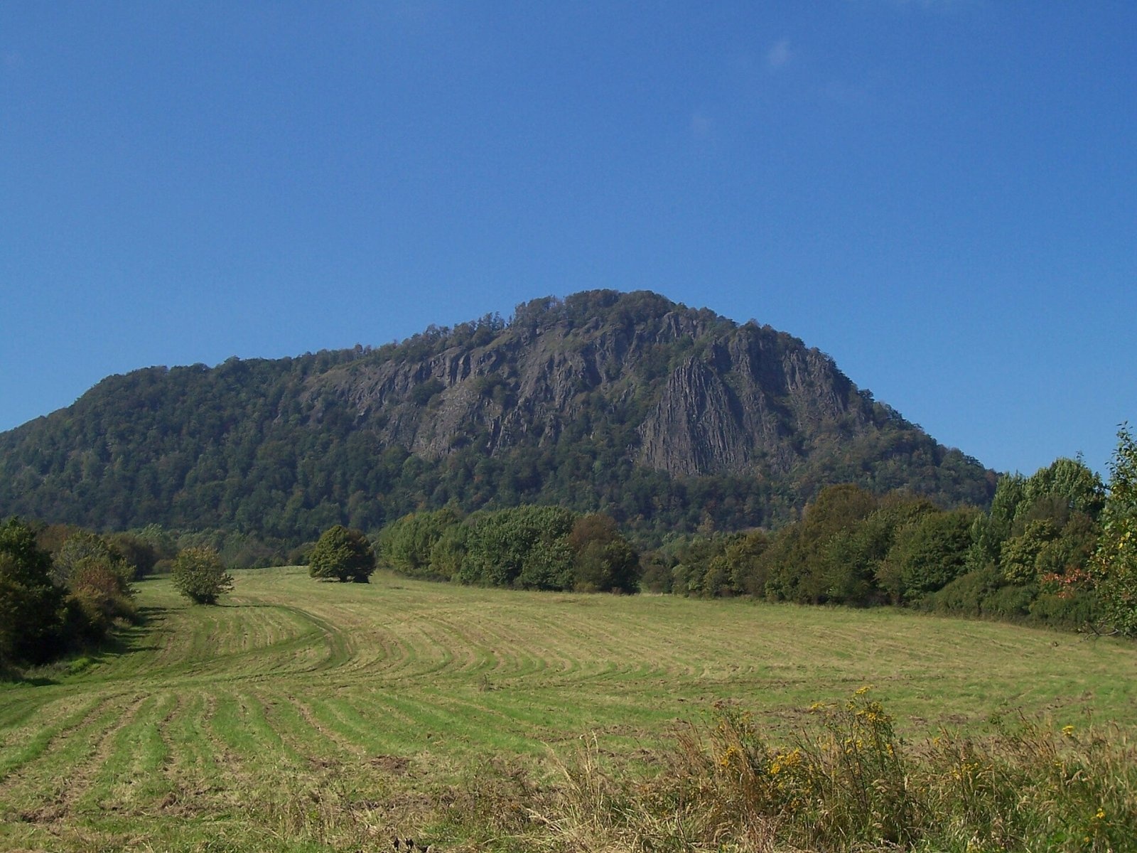
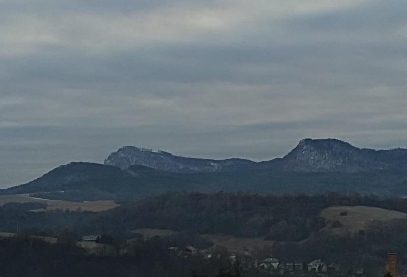
Veľký Grič (German Donnerstein) is a striking, partly rocky mountain 971 m high in the volcanic Vtáčnik range in central Slovakia. It lies at the northern edge of the range, in the Vysoký Vtáčnik part, about 3 km south-west of the town of Handlová. The summit belongs to the Trenčín Region, Prievidza District, and extends into the cadastres of Handlová and the village of Cigeľ. It is the last peak of Vtáčnik above 900 m when counting from south to north: here the main ridge forms a characteristic horn pointing north-east towards Handlová.
The mountain is an elongated dome that clearly dominates the Handlová basin from the south-west. The south-western and western slopes are gentle, the others steep and in places precipitous, and the top is flattened. To the north stands Malý Grič (876 m), to the west Chvojka (836 m), to the south-west Tlstý diel (1014 m) and Biela skala (1135 m), and to the east Vysoká (935 m) and Jazvečia skala (931 m). The slopes belong to the Nitra basin: the eastern and northern ones drain to the Handlovka river, the western ones to tributaries of the Ciglianka stream.
How to get there / routes
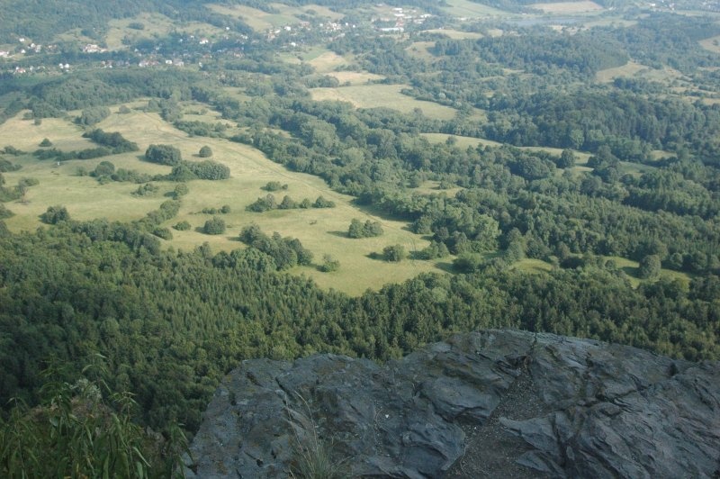
- Red trail – the long-distance Ponitrianska magistrála, which follows the entire main ridge of Vtáčnik. From the north it climbs straight from the centre of Handlová; from the south it comes from Vtáčnik via Orlí kameň. The path passes just below the summit, and a short marked spur leads to the top itself and to a nearby viewpoint on the edge of the cliff.
- Yellow trail – from Veľká Lehôtka (coming from Prievidza via the Uhlisko saddle).
- Green trail – from the village of Cigeľ.
The mountain is a popular walk from Handlová and a stop for those walking the whole Vtáčnik ridge.
What you can see from the top
The slopes are covered with mixed forest, but the summit and the cliff edge offer an almost all-round panorama, widest from north through east to south. You can see the Strážov Mountains, Žiar, the Lesser and Greater Fatra, the western end of the Low Tatras, the Kremnica Mountains, Poľana, Javorie and the Štiavnica Mountains, as well as Považský Inovec and other Vtáčnik peaks. Right below lie Handlová and its basin.
Nature and history
The mountain is carved from a thick layer of volcanic andesites. On the eastern and north-eastern slopes just below the summit they come to the surface as a series of mighty rock walls and cliffs almost 900 m long in total, broken up by ribs, pulpits and rock towers. These cliffs are clearly visible from Handlová and make Veľký Grič the landmark of the area. The rock formations are a popular training ground for climbers and boulderers.
Below the summit, on the Handlová side, there are several springs, one of them simply improved.
Safety, season and rules
The mountain can be climbed all year, but take great care near the edge of the cliffs on the eastern side, especially with children, in fog and in winter when the paths ice up. Climb the rocks only with your own gear and experience. Stay on marked trails and take your litter home. Slovak Mountain Rescue Service (HZS): 18 300 (+421 18 300); general emergency number 112.
Interesting facts
- The rock walls of Veľký Grič stretch for almost 900 m.
- The mountain's German name is Donnerstein – "Thunder Stone".
- It is the northernmost Vtáčnik peak above 900 m.
Photos: Branik P, CC BY-SA 3.0; Branik P, CC BY-SA 3.0; Pe3kZA, CC BY-SA 3.0; Stanislav Doronenko, CC BY 3.0 — Wikimedia Commons.
Getting there from Ukraine
Border crossings
- Uzhhorod – Vyšné Nemecké — road, 24/7
- Malyi Bereznyi – Ubľa — road, 24/7 For cars and buses; pedestrians not confirmed by the Ukrainian border service, lorries up to 3.5 t.
- Mali Selmentsi – Veľké Slemence (pedestrian) — pedestrian, 09:00–21:00 Kyiv time Pedestrians and cyclists only; inconvenient for the Tatras without onward transport.
- Chop – Čierna nad Tisou (rail) — rail, 24/7
By car
From Uzhhorod to Žilina ≈330 km, ≈4 h 20 min without queues: Uzhhorod – Vyšné Nemecké → I/19 to Košice → D1 via Prešov, Poprad, Liptovský Mikuláš and Ružomberok (≈17 km on I/18 between D1 sections) → Žilina. To Terchová ≈314 km, ≈4 h 15 min: from the D1 onto I/70 and II/583. From Lviv through Poland: M-10 → Krakovets – Korczowa → A4 to Kraków → S7/DK7 to Chyżne – Trstená → R3, I/59 to Dolný Kubín → II/583 via Terchová to Žilina: to Terchová ≈493 km (≈6 h 30 min), to Žilina ≈518 km (≈7 h). Via the tolled A4 Kraków – Katowice, S1 and D3: ≈533 km, ≈6 h 35 min. The D1 requires an e-vignette (eznamka.sk).
Checked 23.10.2026; border crossing hours and timetables change — check before you travel.
Location on the map
Water and shelter nearby
- Studánka Spring, 715 m570 m · Not verified · 715 m
- Spring below Veľký Grič (north-west slope)700 m · Has water · 863 m
- Spring below Veľký Grič (west slope)1.1 km · Not verified · 799 m
- Handlovky Spring1.3 km · Not verified · 744 m
- Križkovská Hut1.7 km · Standing · 725 m
- Drinking water below Prieloh2.6 km · Not verified · 622 m
- Tri studničky, 619 m3 km · Not verified · 619 m
Comments
Trails nearby
All trails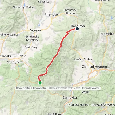 HardMulti-dayMarkedPonitrianska magistrála: Veľké Pole HandlováElevation profile429–1 346 m33.1 kmascent 1 277 m≈ 11 h walkingunder 1 km from Veľký Grič
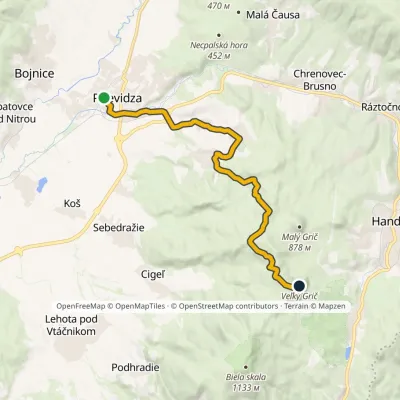 ModerateOne-dayMarkedPrievidza Veľký GričElevation profile266–976 m15.5 kmascent 771 m≈ 5.5 h walkingunder 1 km from Veľký Grič
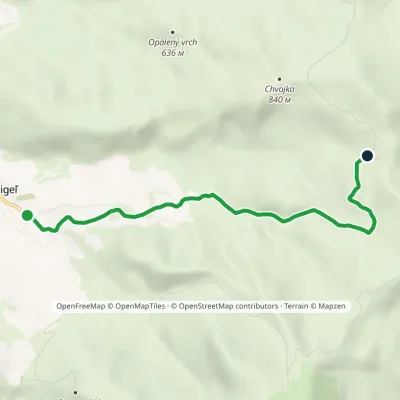 EasyOne-dayMarkedCigeľ KrížkovceElevation profile464–815 m5.8 kmascent 363 m≈ 2 h walkingunder 1 km from Veľký Grič
Nearby attractions
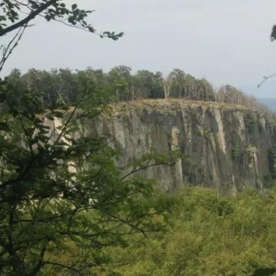 PeakBiela skala (Biely kameň)Handlováaltitude 1 135 m3.5 km from Veľký GričBiela skala (older name, still used on most maps: Biely kameň; Polish Biały Kamień) is a partly rocky 1135 m summit in the Vtáčnik mountains of Slovakia.
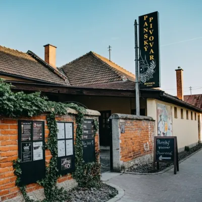 Craft beer & breweriesPanský pivovar Bojnice: unfiltered craft beer below the castleBojnice12 km from Veľký GričBojnice is a spa town in the upper Nitra valley at the foot of the Strážov Hills, famous for the fairy-tale castle of the Pálffy family.
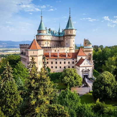 MuseumBojnice Castle — Slovak National MuseumBojnice12 km from Veľký GričBojnice Castle (Bojnický zámok) rises on a travertine mound above the spa town of Bojnice near Prievidza, in the upper Nitra valley.
Craft nearby
All craft places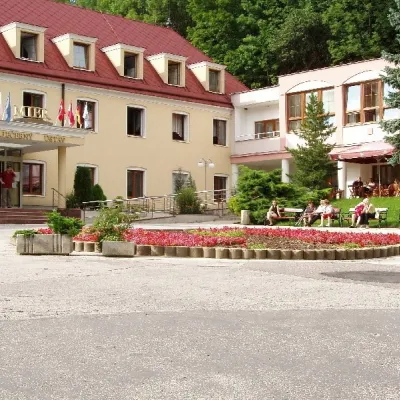 Water parks & thermal poolsBojnice Spa: thermal springs, pools and treatmentsBojnice12 km from Veľký GričBojnice Spa (Kúpele Bojnice) lies on the edge of the town of Bojnice, about 3 km from Prievidza, in the Upper Nitra basin – at the eastern foot of the Malá Magura...
 Craft producersKremnica gingerbread: the Haurík family bakery since 1922Kremnica15 km from Veľký GričKremnica is an old mining town in the Kremnica Mountains where coins have been struck for more than six centuries.
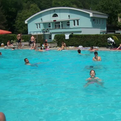 Water parks & thermal poolsChalmová Thermal Pool near PrievidzaBystričany17 km from Veľký GričChalmová Thermal Pool (Termálne kúpalisko Chalmová) is a public pool complex in the village of Chalmová, part of the municipality of Bystričany, about 14 km south of...
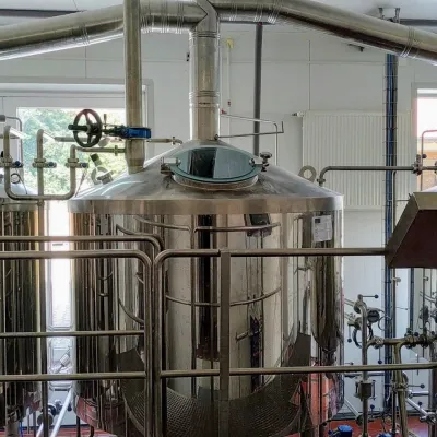 Craft beer & breweriesGalgenberg brewery in Nitrianske Pravno: tour and beer from the tankNitrianske Pravno19 km from Veľký GričNitrianske Pravno is a large village at the northern end of the Upper Nitra basin, 12 km from Prievidza, where the river Nitra leaves the Malá Magura and Žiar hills.
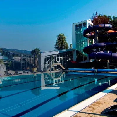 Water parks & thermal poolsSpa & Aquapark Turčianske TepliceTurčianske Teplice20 km from Veľký GričTurčianske Teplice is one of Slovakia’s oldest spa towns. Its warm springs were first mentioned in 1281 in a deed of gift by King Ladislaus IV, and from 1533 they...
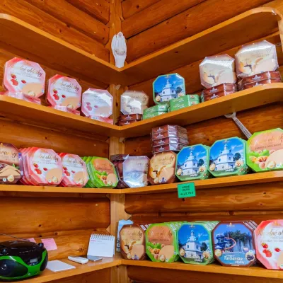 Cheese dairies & pasturesTuriec bryndza dairy, Turčianske Teplice: bryndza since 1917Turčianske Teplice20 km from Veľký GričMore than a hundred years of Turiec bryndza Turiec is a wide basin between the ridges of the Veľká and Malá Fatra, a land of pastures and old sheep farming.
