Kľak
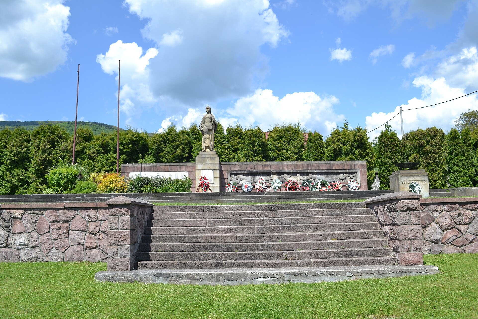
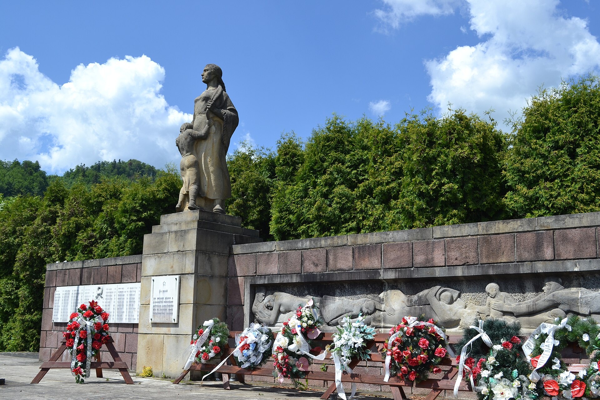
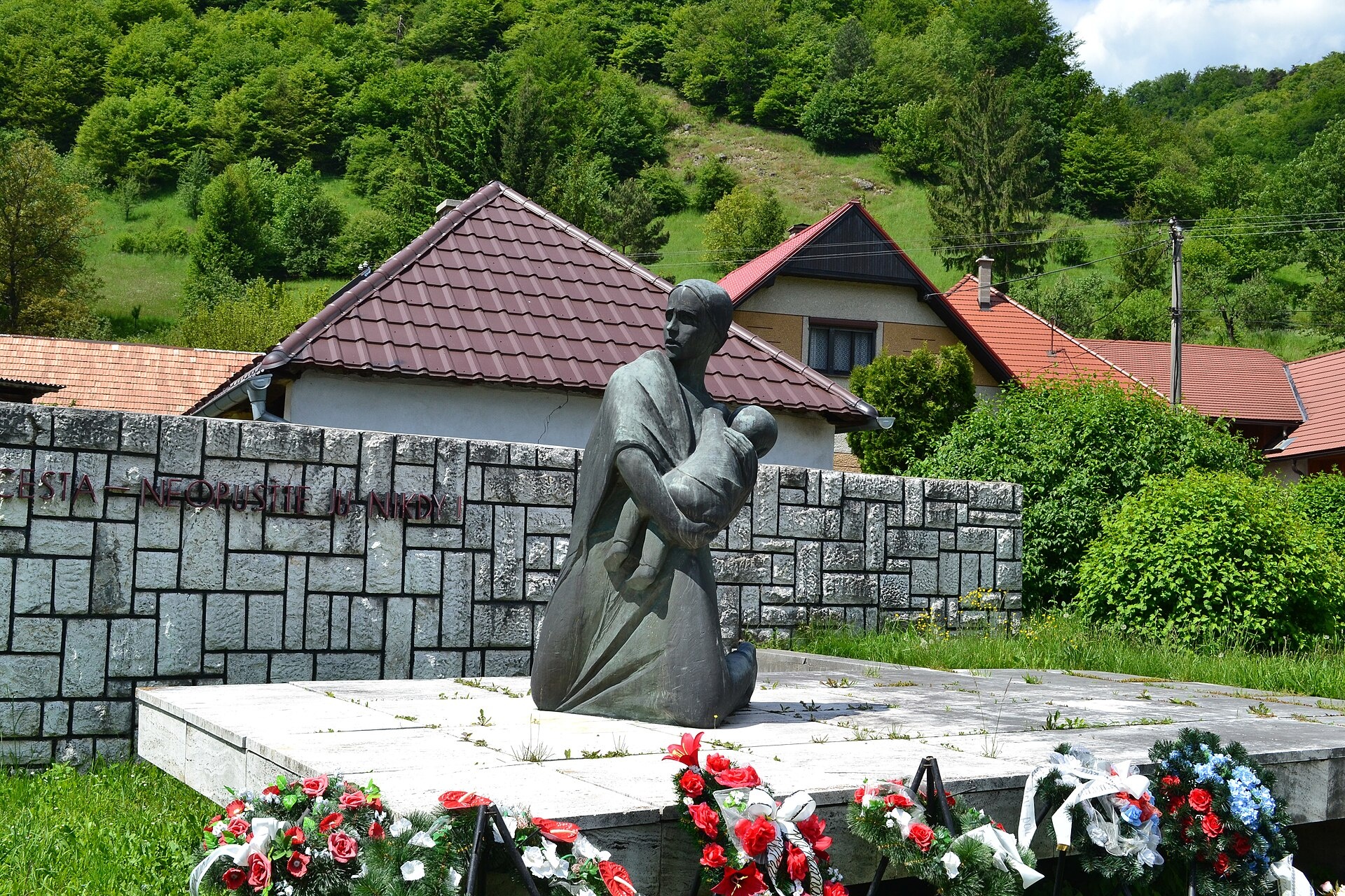
Photos: Marian Sabo, CC BY-SA 3.0 (Wikimedia Commons); Marian Sabo, CC BY-SA 3.0 (Wikimedia Commons); Jarmila Podzimková-Mračková (sculptor) - cc-by-3.0 Marian Sabo (photo), CC BY-SA 3.0 (Wikimedia Commons)
Kľak is a village in the Žarnovica District, Banská Bystrica Region, in central Slovakia. Situated at an elevation of about 650 metres, it lies within the scenic Strážov Mountains and covers an area of 22.79 km². As of 2025, the population is 165. The village is located in the historical Tekov region, surrounded by forested hills and mountain landscapes.
Kľak was first mentioned in historical records in 1735. On January 21, 1945, the village was burned down by the Waffen-SS Edelweiss unit with the support of Heimatschutz. Eighty-four inhabitants, including 36 children, were killed, and all buildings were destroyed. This was one of the most brutal war crimes on Slovak territory during World War II.
Kľak is known for its mountain environment typical of the Strážov Mountains and the tranquil atmosphere of a small Slovak village. The area preserves local traditions and is surrounded by forests and hills, attracting nature lovers and those seeking peaceful recreation. The tragic events of the past are an important part of the village’s historical memory.
Visitors can explore numerous hiking trails that pass through Kľak and its surroundings. Notable routes include the Ponitria Main Trail: Nitra – Veľké Pole, Andrej Kmeť Trail, Pod Vtáčnikom – Kľak, as well as routes to Vtáčnik and Rubaný vrch. These trails offer views of the Strážov Mountains and allow visitors to discover the local flora and fauna.
Getting there from Ukraine
From Uzhhorod to Žilina is about 330 km (approx. 4 h 20 min without queues): Uzhhorod – Vyšné Nemecké → I/19 to Košice → D1 via Prešov, Poprad, Liptovský Mikuláš and Ružomberok (about 17 km on I/18 between D1 sections) → Žilina. To Terchová is about 314 km (approx. 4 h 15 min): from the D1 onto I/70 and II/583. From Lviv via Poland: M-10 → Krakovets – Korczowa → A4 to Kraków → S7/DK7 to Chyżne – Trstená → R3, I/59 to Dolný Kubín → II/583 via Terchová to Žilina: to Terchová about 493 km (approx. 6 h 30 min), to Žilina about 518 km (approx. 7 h). Via the tolled A4 Kraków – Katowice, S1 and D3: about 533 km, approx. 6 h 35 min. The D1 requires an e-vignette (eznamka.sk).
Sources: Wikipedia, Wikidata, OpenStreetMap, Karpaty.rocks data. More on Wikipedia
Trails nearby
All trails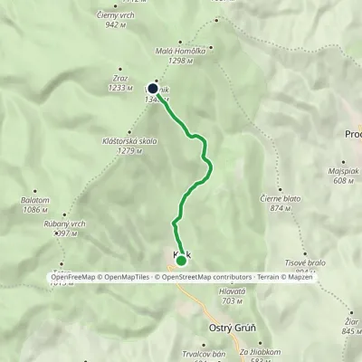 EasyOne-dayMarkedPod Vtáčnikom KľakElevation profile604–1 317 m5.7 kmascent 714 m≈ 3 h walkingunder 1 km from the centre
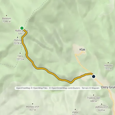 EasyOne-dayMarkedRúbaný vrch Ostrý GrúňElevation profile484–1 097 m5.8 km≈ 1.5 h walking1.2 km from the centre
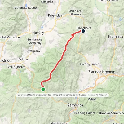 HardMulti-dayMarkedPonitrianska magistrála: Veľké Pole HandlováElevation profile429–1 346 m33.1 kmascent 1 277 m≈ 11 h walking3.1 km from the centre
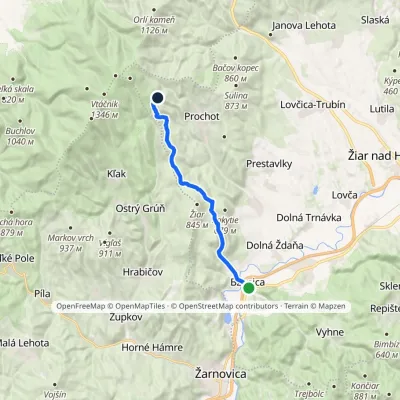 ModerateOne-dayMarkedBzenica GronštolneElevation profile222–929 m13.7 kmascent 781 m≈ 5 h walking3.2 km from the centre
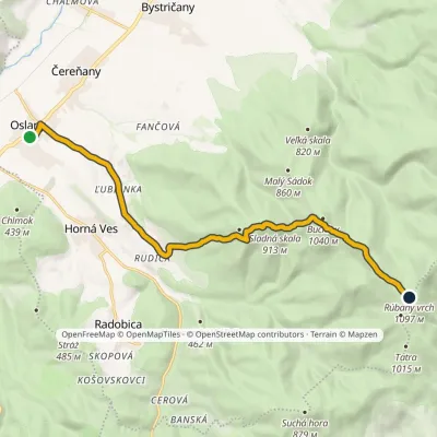 ModerateOne-dayMarkedOslany Rúbaný vrchElevation profile234–1 106 m13.6 kmascent 1 084 m≈ 5.5 h walking3.3 km from the centre
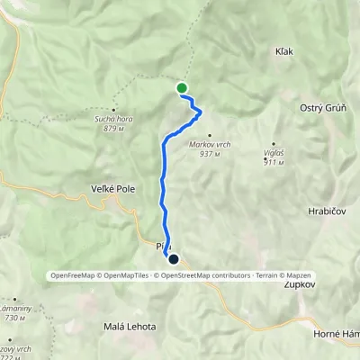 EasyOne-dayMarkedPíla TatraElevation profile376–971 m7.2 kmascent 7 m≈ 2 h walking3.4 km from the centre
Peaks nearby
All peaks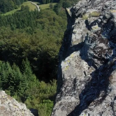 PeakBuchlov (Vtáčnik)Čereňanyaltitude 1 040 m6.2 km from the centreBuchlov is a prominent rocky peak, 1,040 m high, in the Vtáčnik mountains of central Slovakia. It should not be confused with the castle hill of the same name in the...
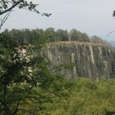 PeakBiela skala (Biely kameň)Handlováaltitude 1 135 m12 km from the centreBiela skala (older name, still used on most maps: Biely kameň; Polish Biały Kamień) is a partly rocky 1135 m summit in the Vtáčnik mountains of Slovakia.
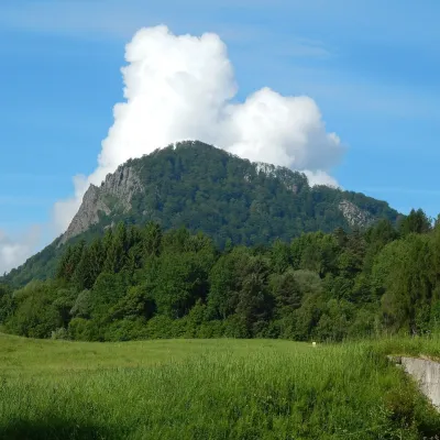 PeakVeľký GričHandlováaltitude 971 m15 km from the centreVeľký Grič (German Donnerstein) is a striking, partly rocky mountain 971 m high in the volcanic Vtáčnik range in central Slovakia.
What to visit
All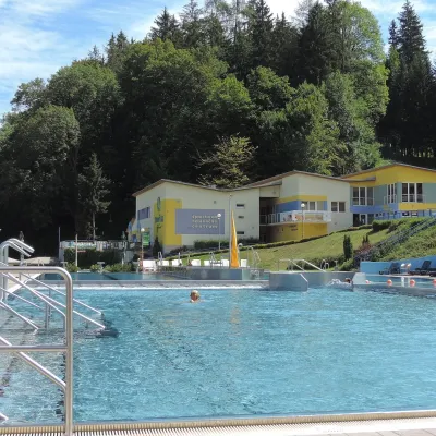 Water parks & thermal poolsVodný raj thermal pools in VyhneVyhne14 km from the centreVodný raj Vyhne ("Water Paradise") is a public pool complex with thermal water in the village of Vyhne, in a quiet wooded valley of the Štiavnické vrchy hills near the...
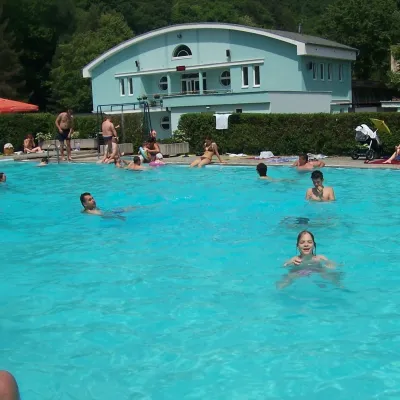 Water parks & thermal poolsChalmová Thermal Pool near PrievidzaBystričany15 km from the centreChalmová Thermal Pool (Termálne kúpalisko Chalmová) is a public pool complex in the village of Chalmová, part of the municipality of Bystričany, about 14 km south of...
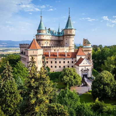 MuseumBojnice Castle — Slovak National MuseumBojnice22 km from the centreBojnice Castle (Bojnický zámok) rises on a travertine mound above the spa town of Bojnice near Prievidza, in the upper Nitra valley.
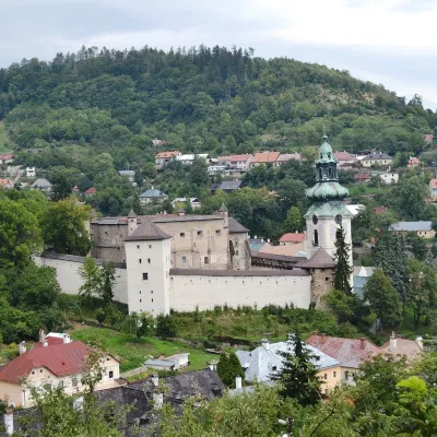 MuseumOld Castle in Banská ŠtiavnicaBanská Štiavnica23 km from the centreThe Old Castle (Starý zámok, officially Mestský hrad — Town Castle) is one of the oldest buildings of Banská Štiavnica, a mining town on the UNESCO World Heritage List.
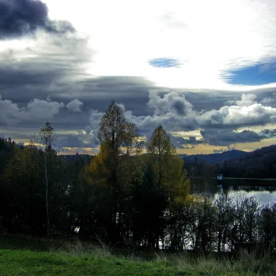 LakeThe Štiavnica tajchy – historic mining lakes of Banská ŠtiavnicaŠtiavnické Bane23 km from the centreThe Štiavnica tajchy are a system of historic artificial lakes in the Štiavnica Mountains (Štiavnické vrchy) around the mining town of Banská Štiavnica in central...
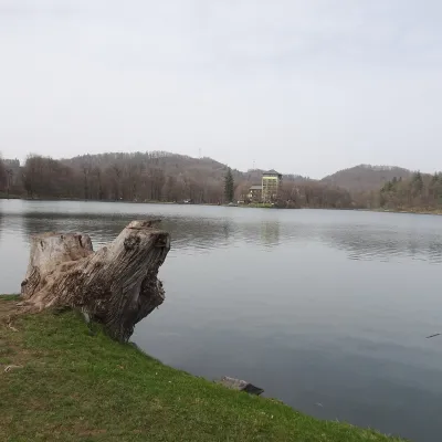 LakePočúvadlo — historic mining lake below SitnoBanská Štiavnica25 km from the centrePočúvadlo (Počúvadlianske jazero) is the largest of the Štiavnica tajchs — historic artificial ponds built by the miners of Banská Štiavnica to drive the machinery of...
Craft nearby
All craft places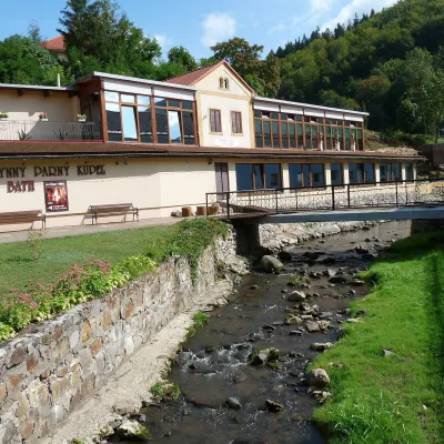 Water parks & thermal poolsSklené Teplice: Parenica cave steam bath and thermal bathsSklené Teplice17 km from the centreSklené Teplice is a small spa in a wooded valley of the Štiavnické vrchy hills, a few kilometres from the Hron valley and about 8 km from Banská Štiavnica.
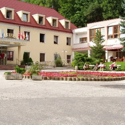 Water parks & thermal poolsBojnice Spa: thermal springs, pools and treatmentsBojnice22 km from the centreBojnice Spa (Kúpele Bojnice) lies on the edge of the town of Bojnice, about 3 km from Prievidza, in the Upper Nitra basin – at the eastern foot of the Malá Magura...
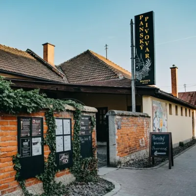 Craft beer & breweriesPanský pivovar Bojnice: unfiltered craft beer below the castleBojnice22 km from the centreBojnice is a spa town in the upper Nitra valley at the foot of the Strážov Hills, famous for the fairy-tale castle of the Pálffy family.
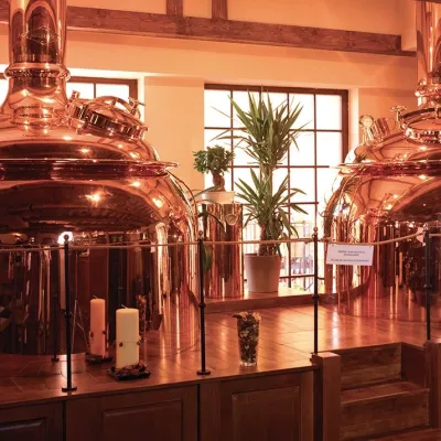 Craft beer & breweriesERB brewery in Banská Štiavnica: brewery tour and tastingBanská Štiavnica23 km from the centreBanská Štiavnica is an old mining town in the caldera of an extinct volcano and a UNESCO World Heritage site.
 Craft producersKremnica gingerbread: the Haurík family bakery since 1922Kremnica24 km from the centreKremnica is an old mining town in the Kremnica Mountains where coins have been struck for more than six centuries.
 Crafts & workshopsDo dielne, Počúvadlo: woodcarving courses near Banská ŠtiavnicaPočúvadlo28 km from the centreHere, in the quiet among the hills, works the small workshop Do dielne (“To the workshop”). Its owner Dušan Budinský ran a hairdresser’s in Bratislava for eight years,...
Spas and thermal pools nearby
Water parks & thermal poolsVodný raj thermal pools in VyhneVyhne14 km from the centreVodný raj Vyhne ("Water Paradise") is a public pool complex with thermal water in the village of Vyhne, in a quiet wooded valley of the Štiavnické vrchy hills near the...Water parks & thermal poolsChalmová Thermal Pool near PrievidzaBystričany15 km from the centreChalmová Thermal Pool (Termálne kúpalisko Chalmová) is a public pool complex in the village of Chalmová, part of the municipality of Bystričany, about 14 km south of...Water parks & thermal poolsSklené Teplice: Parenica cave steam bath and thermal bathsSklené Teplice17 km from the centreSklené Teplice is a small spa in a wooded valley of the Štiavnické vrchy hills, a few kilometres from the Hron valley and about 8 km from Banská Štiavnica.Huts, shelters and springs nearby
Getting there from Ukraine
Border crossings
- Uzhhorod – Vyšné Nemecké — road, 24/7
- Malyi Bereznyi – Ubľa — road, 24/7 For cars and buses; pedestrians not confirmed by the Ukrainian border service, lorries up to 3.5 t.
- Mali Selmentsi – Veľké Slemence (pedestrian) — pedestrian, 09:00–21:00 Kyiv time Pedestrians and cyclists only; inconvenient for the Tatras without onward transport.
- Chop – Čierna nad Tisou (rail) — rail, 24/7
By car
From Uzhhorod to Žilina ≈330 km, ≈4 h 20 min without queues: Uzhhorod – Vyšné Nemecké → I/19 to Košice → D1 via Prešov, Poprad, Liptovský Mikuláš and Ružomberok (≈17 km on I/18 between D1 sections) → Žilina. To Terchová ≈314 km, ≈4 h 15 min: from the D1 onto I/70 and II/583. From Lviv through Poland: M-10 → Krakovets – Korczowa → A4 to Kraków → S7/DK7 to Chyżne – Trstená → R3, I/59 to Dolný Kubín → II/583 via Terchová to Žilina: to Terchová ≈493 km (≈6 h 30 min), to Žilina ≈518 km (≈7 h). Via the tolled A4 Kraków – Katowice, S1 and D3: ≈533 km, ≈6 h 35 min. The D1 requires an e-vignette (eznamka.sk).
Checked 23.10.2026; border crossing hours and timetables change — check before you travel.
