Spring
Spring under Vtáčnik
Slovakia · Strážov Mountains range · 1 267 m
Condition
Has waterLatest report: there is water.
As of 04.08.2024 · according to OpenStreetMap
- 1 267 m
About
Local name: Prameň pod Vtáčnikom. Strážov Mountains range, about 1 270 m above sea level. 3 of the site’s trails pass nearby, including “Ponitrianska magistrála: Veľké Pole – Handlová”.
On the map
Coordinates: 48.61986, 18.63424
How to get there
Trails nearby
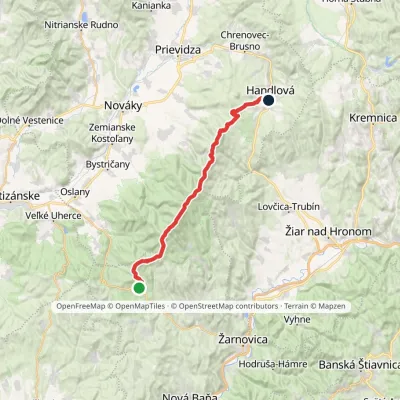 HardMulti-dayMarkedPonitrianska magistrála: Veľké Pole HandlováElevation profile429–1 346 m33.1 kmascent 1 277 m≈ 11 h walking
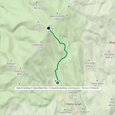 EasyOne-dayMarkedPod Vtáčnikom KľakElevation profile604–1 317 m5.7 kmascent 714 m≈ 3 h walking
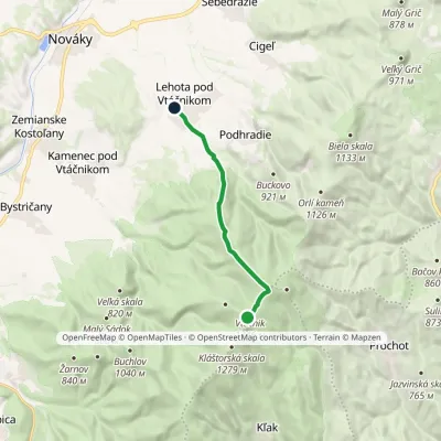 EasyOne-dayMarkedLehota pod Vtáčnikom Pod VtáčnikomElevation profile372–1 346 m10.1 kmascent 55 m≈ 2.5 h walking
Report the condition
Been here recently? Tell us what you saw and add photos — your report appears on the page right away with today’s date.
No photos yet — send yours together with a condition report.
